The best walks and hikes around Weinfelder Maar
4.5
(15446)
52,596
hikers
841
hikes
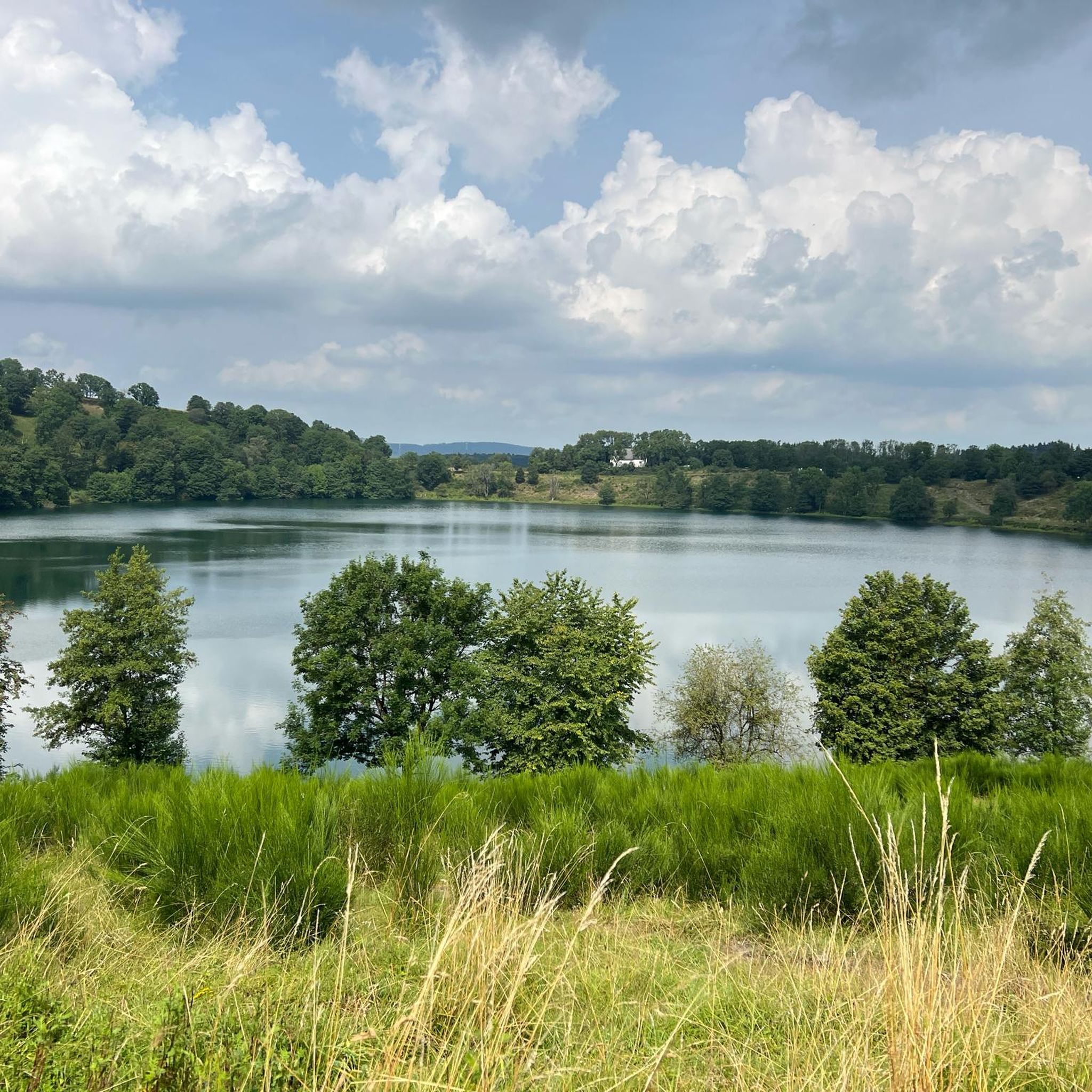
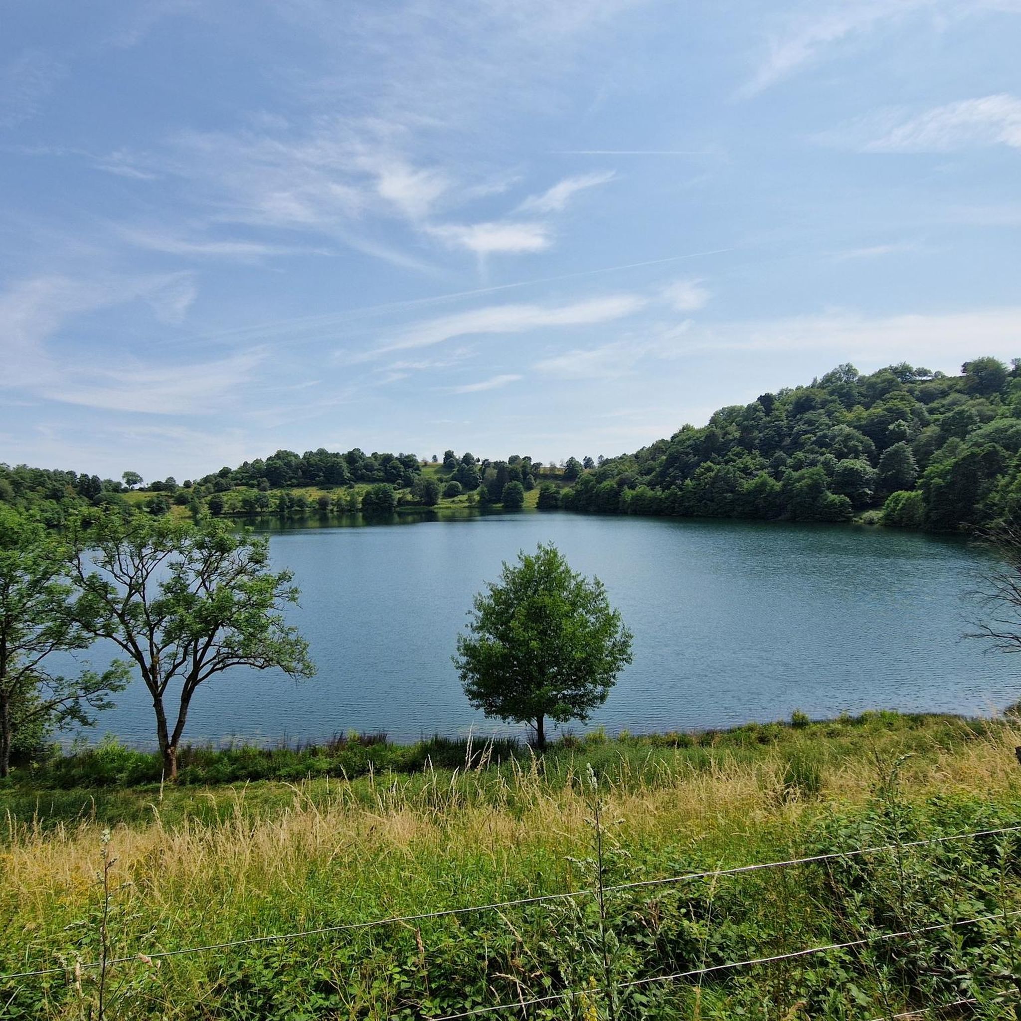
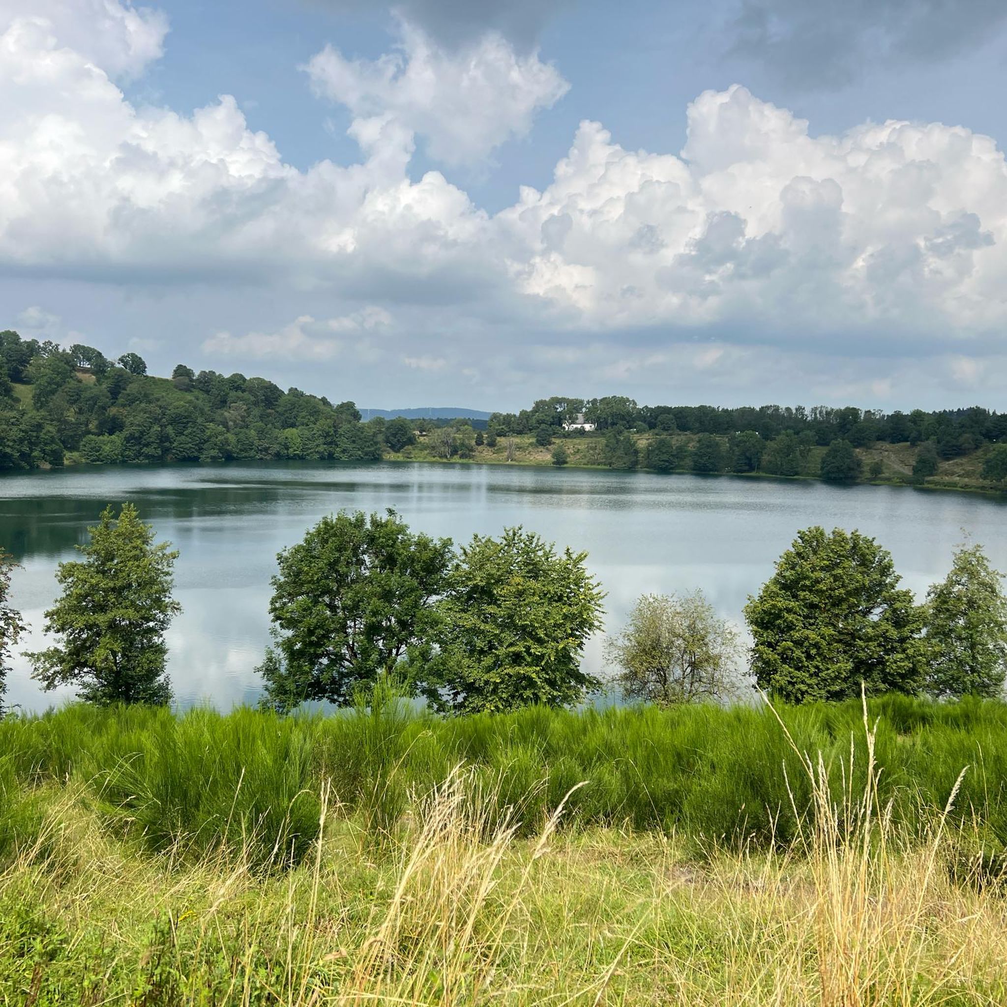
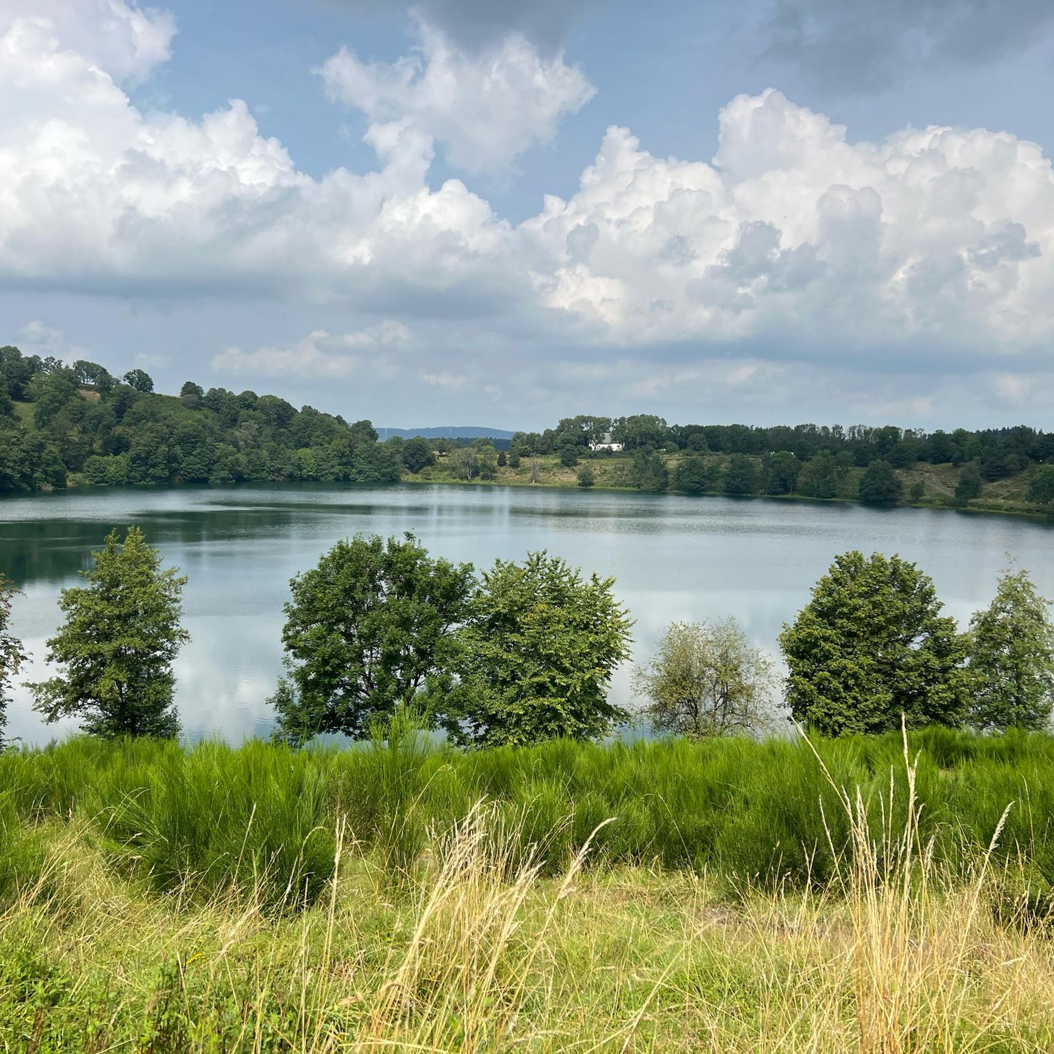
Hiking around Weinfelder Maar offers exploration of a volcanic landscape in the Eifel region. The area is centered around a circular lake, formed by ancient volcanic steam explosions, known for its wooded slopes and paths made of coarse-grained lava. As one of the three "Daun Maars," it is the deepest and highest, surrounded by a protected nature reserve. Elevations such as the Mäuseberg and Maarkreuz provide varied perspectives of the maar and the wider Eifel landscape.
Best hiking trails around…
Last updated: August 7, 2026
4.7
(582)
2,096
hikers
Moderate hike. Good fitness required. Easily-accessible paths. Suitable for all skill levels.
4.7
(38)
134
hikers
Easy hike. Great for any fitness level. Easily-accessible paths. Suitable for all skill levels.

Sign up for free
4.6
(65)
258
hikers
Easy hike. Great for any fitness level. Easily-accessible paths. Suitable for all skill levels.
4.6
(9)
36
hikers
Moderate hike. Good fitness required. Easily-accessible paths. Suitable for all skill levels.
4.9
(20)
60
hikers
6.32km
01:49
150m
150m
Easy hike. Great for any fitness level. Easily-accessible paths. Suitable for all skill levels.
Get access to more routes and recommendations from other explorers.
Sign up for free
Already have an account?
Our route recommendations are based on thousands of hikes, rides, and runs completed by other people on komoot.
Start today with a free account
Your next adventure awaits.
Login or Signup
Tips from the Community

Wonderfully located, highly recommended.
0
0

But with a great natural swimming area and super water quality.
0
0

Numerous legends surround the quiet Totenmaar. According to one legend, a castle once stood at this spot, inhabited by a benevolent count with his servants, his hard-hearted wife, and their only child. One day, the count returned home from the hunt and found only a lake where his castle had stood. It had sunk into the earth with all its inhabitants, leaving behind a lake, the Totenmaar. As if by a miracle, a cradle appeared on the surface, in which his child drifted safely to shore. The count's horse dug out a spring from the ground during an exclamation by its master. The count later built a chapel out of gratitude for his child's rescue, which, like the spring, is still preserved today. Das Weinfelder Maar 1878 (Die Gartenlaube) The Eifel painter Richard Franzen from Mehren dedicated the following poem to this maar: Droben steht noch die Kapelle, hier im schönen Eifelland, wo vor ein paar hundert Jahren einst das Dörfchen Weinfeld stand. Pest und Armut, schlechte Zeiten, zwang die Menschen in der Not, ihre Heimstatt zu verlassen, letzter Zug im Abendrot. Doch nach Weinfeld kehren wieder Stille Schläfer Jahr für Jahr, um für immer auszuruhen auf dem Berg am Totenmaar
0
0

The urge to "immerse oneself in nature" is not a modern trend that we humans of the 21st century are letting ourselves be led into – for example, with the komoot tour planner – but is based on much older behaviors and the ancient knowledge that it simply does good. Already in a "little book of reminders" written by Peter Rosegger (1843 to 1918), the exhortation reads: "We must once again properly bring out our healthy limbs and immerse ourselves in nature, rediscovering within ourselves the lost strengths that are ours. That... makes you fresh, makes you strong, and makes you wise. You learn a lot from it, especially how to live simply and become cheerful."
0
0
All hikers / walkers, who are enjoying this view that presents itself to the eye here, I would like to invite with the words of the writer Otto Wilhelm Ullmann to discover the world (and with it the beauty of nature): "Hiking means discovering the world, finding hidden corners, in old alleys, quiet spots feeling the bliss of peace, raising reverence for the old and nurturing the heritage of the fathers, awakening joy from the smallest things: Hiking means discovering the world."
2
0
The "Heimatspur Maareglück", which hikers/walkers repeatedly encounter in the vicinity of the Totenmaar, the Schalkenmehrener Maar, and the Gemündener Maar - or perhaps even follow - is in the final for the election of the most beautiful hiking trail in Germany (2026). Those who still want to vote by June 30 can find the virtual voting booth at =>> https://wandermagazin.de/wahlstudio
1
0

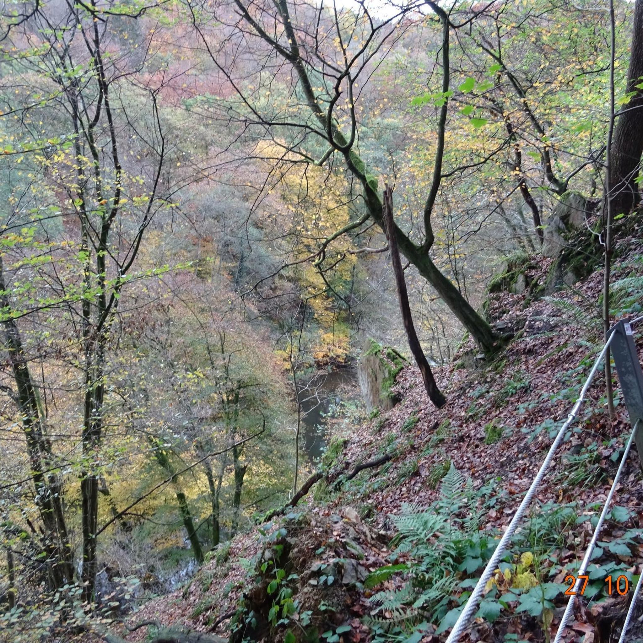
at this point now well hidden behind trees
1
0

Frequently Asked Questions
How many hiking trails are there around Weinfelder Maar?
There are over 800 hiking routes around Weinfelder Maar, catering to various preferences and skill levels. More than 400 of these are classified as easy, offering accessible options for most hikers.
Are there easy hiking routes suitable for families or beginners?
Yes, Weinfelder Maar offers numerous easy hiking routes perfect for families and beginners. Over 400 trails are rated as easy. For a gentle introduction to the area, consider the Dronke Tower on the Mäuseberg – Weinfelder Maar viewpoint loop from Schalkenmehren, which is 2.0 miles (3.2 km) long and provides excellent views.
What kind of terrain can I expect on the hiking trails?
The terrain around Weinfelder Maar is characterized by its unique volcanic landscape. You'll encounter paths made of coarse-grained lava, wooded slopes, and trails encircling the maar. Elevations like the Mäuseberg and Maarkreuz offer varied perspectives, and the paths are generally well-maintained.
Are there any circular walks around Weinfelder Maar?
Yes, circular walks are very popular here. A path directly encircling the maar is nearly two kilometers long, ideal for a leisurely stroll. For a slightly longer option, the Dronke Tower on the Mäuseberg – View of the Weinfelder Maar loop from Daun is a 3.3-mile (5.3 km) loop that includes panoramic views.
What are the main landmarks or viewpoints to see while hiking?
Key landmarks include the historic Weinfelder Chapel, parts of which date back to the 14th century, located directly by the maar. Another significant point is the Dronke Tower (Dronketurm) on the Mäuseberg, which offers panoramic views over the expansive Eifel landscape. The maar itself, with its deep blue waters, is a central natural highlight.
Can I bring my dog on the hiking trails?
Yes, many trails around Weinfelder Maar are dog-friendly. The protected nature reserve encourages responsible pet ownership, so keeping your dog on a leash is generally recommended to protect the local flora and fauna. Always check specific trail regulations if you plan to visit a very sensitive area.
What is the best time of year to hike around Weinfelder Maar?
Weinfelder Maar is beautiful year-round. Spring brings lush greenery and blooming wildflowers, while autumn offers vibrant foliage. Summer is popular for longer hikes, and even winter hiking can be magical, with the landscape often covered in snow. The unique volcanic features are impressive in any season.
Are there options for longer, more challenging hikes?
Absolutely. While many routes are easy, there are also more challenging options. For those seeking a longer adventure, the proximity to Gemündener and Schalkenmehrener Maars allows for a scenic "Drei-Maare-Wanderung" (Three-Maar hike). An example of a more demanding route is the Schalkenmehrener Maar – Dronke Tower on the Mäuseberg loop from Daun, which is 13.8 miles (22.2 km) long and rated as difficult.
What do other hikers enjoy most about hiking in Weinfelder Maar?
The area is highly rated by the komoot community, with an average score of 4.6 stars from over 13,000 reviews. Hikers often praise the unique volcanic landscape, the serene atmosphere of the maar, and the well-maintained paths that offer a tangible connection to the region's geological past. The panoramic views from points like the Dronke Tower are also frequently highlighted.
Is there parking available near the hiking trails?
Yes, there are parking facilities available in the vicinity of Weinfelder Maar, particularly in nearby towns like Daun and Schalkenmehren, which serve as common starting points for many trails. Specific parking details can often be found on local tourist information websites or komoot tour pages.
Are there any cafes or restaurants near the hiking trails?
While the immediate area around the protected Weinfelder Maar is largely natural, you'll find cafes, restaurants, and accommodation options in the nearby villages and towns such as Daun and Schalkenmehren. These provide convenient places to refuel before or after your hike.
What is the significance of Weinfelder Maar in the Eifel region?
Weinfelder Maar, also known as Totenmaar, is a significant geological feature in the Eifel region. It's one of the three 'Daun Maars' and is notable as the deepest (51 meters) and highest (487 meters above sea level) of these volcanic lakes. It's also an important point (number 26) on the German Volcano Road, highlighting its geological importance and unique formation from ancient steam explosions.
Most popular routes around Weinfelder Maar
Most popular attractions around Weinfelder Maar

Get inspired with the komoot mobile app


Explore more
Browse the best Hikes in other regions.
