The best running trails around Weinfelder Maar
4.4
(781)
3,498
runners
200
runs
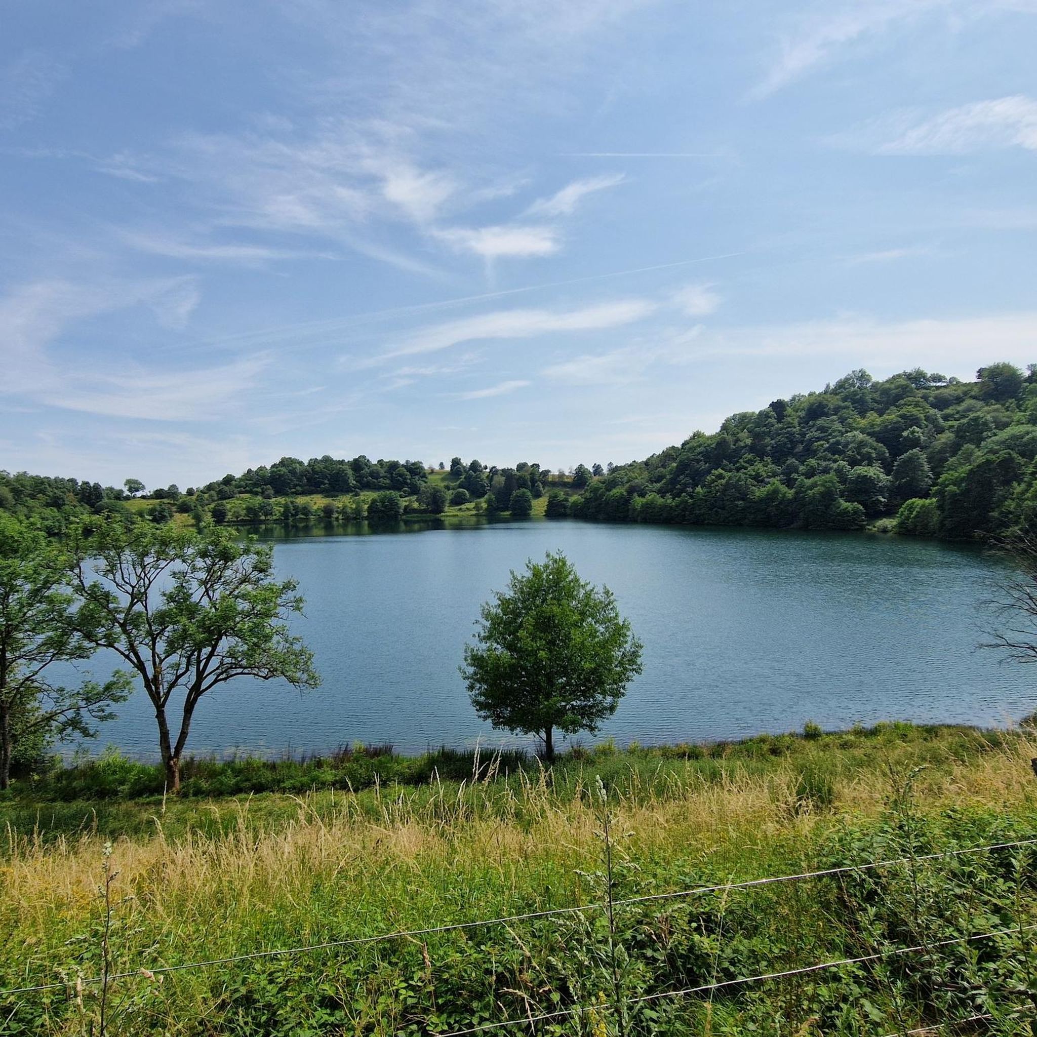
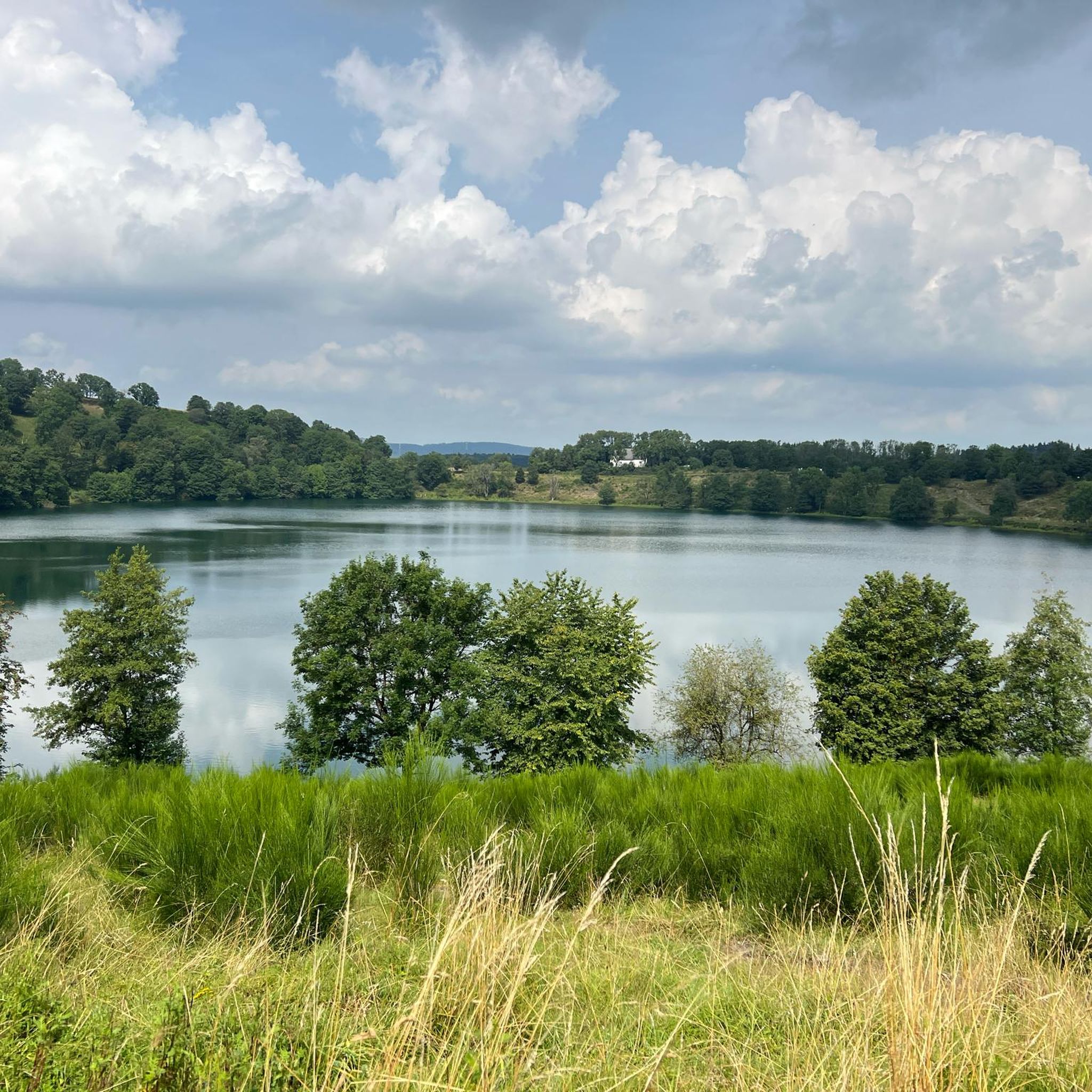
Jogging routes around Weinfelder Maar traverse a distinctive volcanic landscape in the Eifel region, characterized by its maar lake and surrounding wooded slopes. The terrain features paths often composed of coarse-grained lava, reflecting its geological origins. This area, also known as Totenmaar, is situated at an elevation of 487 meters above sea level, with the maar itself being the deepest and highest of the three Daun Maars. The circular form of the lake is encircled by lush, forested areas, providing…
Last updated: October 27, 2026
4.7
(15)
103
runners
10.5km
01:18
290m
290m
Moderate run. Good fitness required. Mostly paved surfaces.
4.1
(9)
79
runners
Moderate run. Good fitness required. Mostly paved surfaces.

3.7
(3)
97
runners
Easy run. Mostly paved surfaces.
3.8
(29)
75
runners
Moderate run. Good fitness required. Mostly paved surfaces.
10
runners
6.69km
00:45
140m
140m
Moderate run. Good fitness required. Mostly paved surfaces.
Get access to more routes and recommendations from other explorers.
Already have an account?
Our route recommendations are based on thousands of hikes, rides, and runs completed by other people on komoot.
Start today with a free account
Your next adventure awaits.
Tips from the Community

Well-maintained paved stretch, expect pedestrians.
0
0

„Birds are singing, flowers are blooming, green is again the forest and the field. Oh, let us go and wander from one place to another through the wide, green world!“ (Hoffmann von Fallersleben)
5
0

Very steep but paved. You can reach high speeds. At the bottom, however, the road that leads up to the Gemündener Maar parking lot crosses directly. In summer, higher traffic volumes are to be expected here.
0
0

What a great tunnel, over 500m Video on Instagram "biketime1979"
0
0

A well-maintained cycle path runs around the maar, and beautiful views are guaranteed.
0
0

A very well-maintained tunnel. A highlight for the kids.
0
0

Pleasant for bathing and relaxing
0
0

Very good surface, pleasantly shady in summer
0
0
Frequently Asked Questions
What makes jogging around Weinfelder Maar unique?
Jogging around Weinfelder Maar offers a distinctive experience due to its volcanic origins. The paths often feature coarse-grained lava, providing a tangible connection to the region's dramatic geological history. You'll run through lush, wooded slopes encircling the deep blue maar lake, which is also known as Totenmaar, at an elevation of 487 meters above sea level.
How many running routes are available in the Weinfelder Maar area?
There are over 200 running routes available around Weinfelder Maar. This includes a wide variety of options, with 24 easy routes, 157 moderate routes, and 27 more challenging trails, ensuring there's something for every fitness level.
Are there any circular running paths around Weinfelder Maar?
Yes, the area is well-suited for circular runs. A dedicated path encircles the Weinfelder Maar lake itself, spanning nearly two kilometers. Many other routes in the region are also designed as loops, allowing you to start and finish at the same point. For example, the Weinfelder Maar – Gemündener Maar loop from Daun offers a moderate 6.6 km circular path.
What kind of terrain can I expect on the running trails?
The terrain around Weinfelder Maar is varied, reflecting its volcanic landscape. You'll encounter paths often composed of coarse-grained lava, as well as trails through forests, along streams, and across dry moors. The routes are generally well-maintained, but some may include significant elevation changes, especially on longer loops like the Dronke Tower on the Mäuseberg – Gemündener Maar loop from Daun.
Are there any family-friendly running routes suitable for jogging with kids?
While specific 'kids' routes aren't highlighted, many of the easier and shorter circular paths around the maar are suitable for families. The relatively flat 2-kilometer path directly encircling the Weinfelder Maar is a great option for a gentle run or walk with children. Always check the route's distance and elevation profile on komoot to ensure it matches your family's capabilities.
Can I bring my dog on the running trails?
Weinfelder Maar is a designated nature reserve, and while dogs are generally welcome on trails, it's important to keep them on a leash to protect the local flora and fauna. Always be mindful of other runners and hikers, and ensure you clean up after your pet.
What are some notable landmarks or viewpoints along the running routes?
The region offers several points of interest. On the northern shore of Weinfelder Maar, you'll find the historic St. Martin's chapel, which once served a village abandoned after a plague. For panoramic views of the expansive Eifel landscape, the Dronketurm (observation tower) on the nearby Mäuseberg is a must-see. The Dronke Tower on the Mäuseberg – Gemündener Maar loop from Daun specifically passes by this tower.
Is there public transport access to Weinfelder Maar for runners?
Yes, public transport options are available to reach the Weinfelder Maar area. While direct stops at the maar itself might be limited, nearby towns like Daun and Schalkenmehren are served by bus routes, from which you can access various trailheads. It's advisable to check local bus schedules for the most current information on connections to the region.
Where can I park my car when visiting Weinfelder Maar for a run?
Designated parking areas are available near Weinfelder Maar, particularly close to popular access points and trailheads. These parking spots are typically well-signposted. For routes starting from specific villages like Schalkenmehren or Daun, you'll find parking facilities within those communities, often near the starting points of the trails.
What do other runners say about jogging in Weinfelder Maar?
The running routes in Weinfelder Maar are highly regarded by the komoot community, with an average score of 4.3 stars from over 600 reviews. More than 3000 runners have explored the varied terrain, often praising the breathtaking volcanic scenery, the well-maintained paths, and the peaceful atmosphere of the nature reserve.
Are there any permits required for jogging around Weinfelder Maar?
No, generally, no special permits are required for jogging or hiking on the public trails around Weinfelder Maar. As it is a designated nature reserve, visitors are expected to respect the environment, stay on marked paths, and adhere to local regulations regarding noise and waste.
What is the best season for running in Weinfelder Maar?
Weinfelder Maar offers beautiful running conditions throughout much of the year. Spring brings lush greenery and blooming flora, while autumn transforms the wooded slopes into a vibrant display of colors. Summer is also popular, though it can be warmer. Winter running is possible, but trails may be icy or muddy, so appropriate footwear is recommended. Each season offers a unique perspective on the volcanic landscape.
Most popular routes around Weinfelder Maar
Most popular attractions around Weinfelder Maar

Get inspired with the komoot mobile app


Explore more
Browse the best Running Trails & Routes in other regions.
