The best running trails in Rio Grande National Forest
186
runners
43
runs
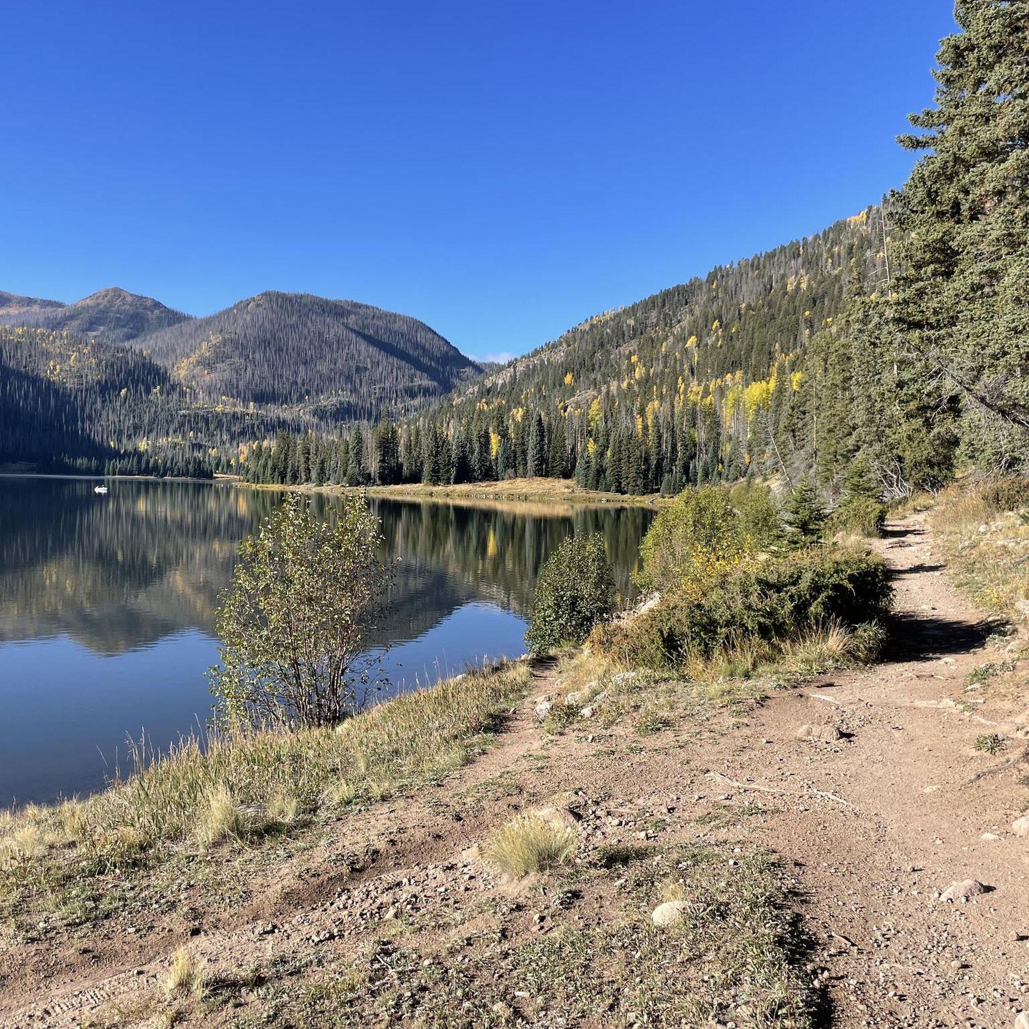
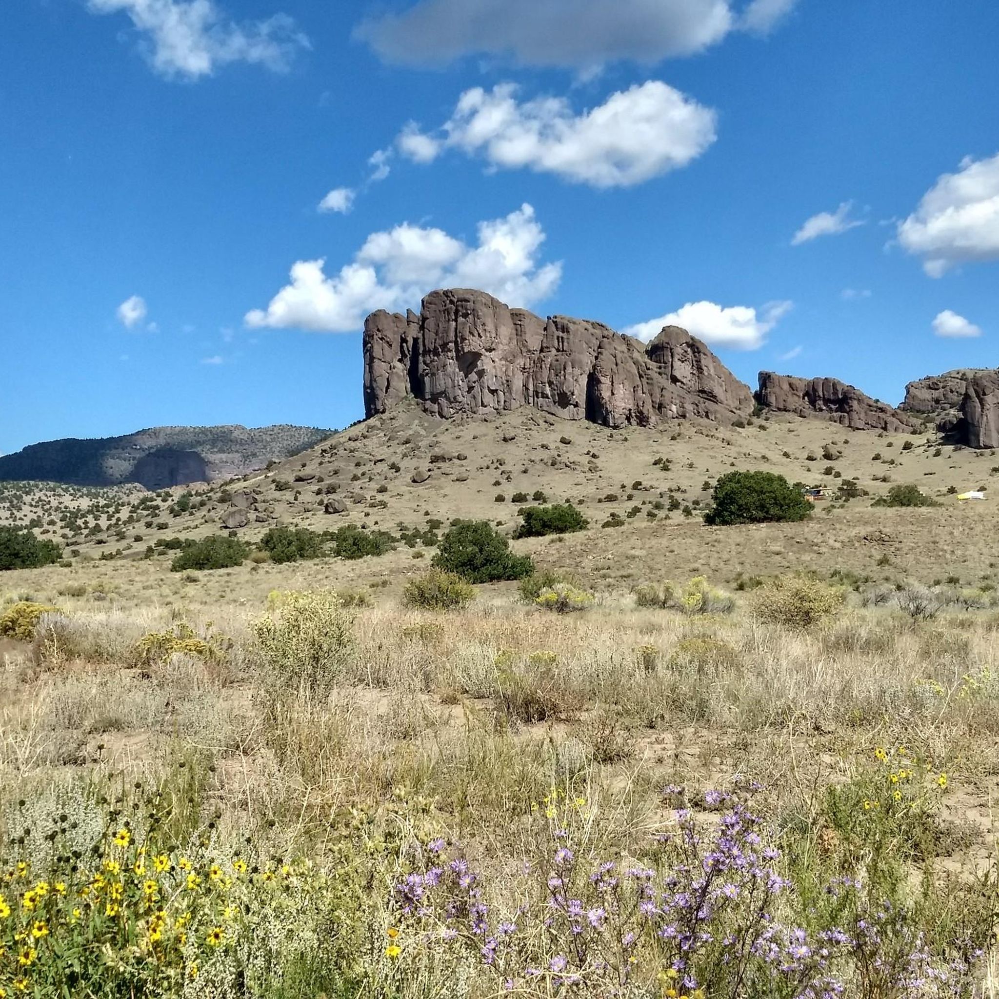
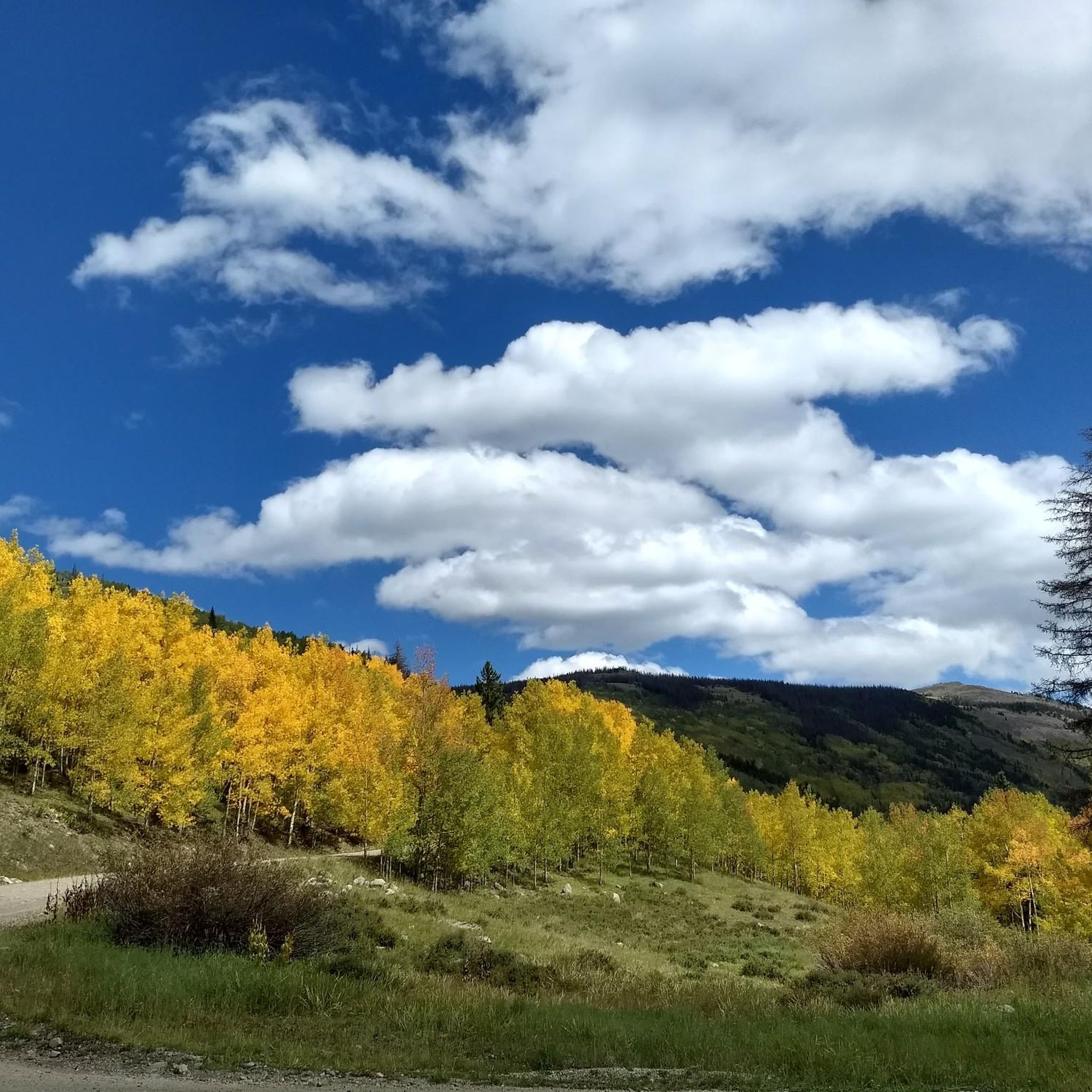
Jogging in Rio Grande National Forest offers diverse terrain across 1.8 million acres in south-central Colorado. The region features a mosaic of environments, including lush meadows, dense pine and aspen forests, and high-elevation deserts. Joggers can find routes alongside reservoirs, serene lakes, and cascading falls, with the headwaters of the Rio Grande River flowing through canyons and valleys. The landscape is also characterized by rugged mountain peaks, such as those in the San Juan Mountains, and unique geological formations.
Best…
Last updated: October 10, 2026
11.5km
01:36
490m
490m
Hard run. Very good fitness required. Mostly paved surfaces. Suitable for all skill levels.
43.2km
05:33
980m
980m
Hard run. Very good fitness required. Mostly paved surfaces. Suitable for all skill levels.

29.8km
04:50
1,780m
1,780m
Hard run. Very good fitness required. Mostly paved surfaces. Suitable for all skill levels.
1
runners
46.8km
06:52
1,990m
1,990m
Hard run. Very good fitness required. Mostly paved surfaces. Suitable for all skill levels.
1
runners
54.8km
07:27
1,720m
1,720m
Hard run. Very good fitness required. Mostly paved surfaces. Suitable for all skill levels.
Get access to more routes and recommendations from other explorers.
Already have an account?
Our route recommendations are based on thousands of hikes, rides, and runs completed by other people on komoot.
Start today with a free account
Your next adventure awaits.
Popular around Rio Grande National Forest



Other adventures in Rio Grande National Forest


Tips from the Community

San Luis Pass is located in a ditch between two steep climbs along the Colorado Trail. San Luis Peak is not visible from here.
2
0
Spring Creek Pass is the access point for hikers of the Colorado Trail/Continental Divide Trail to get into Lake City - unique hiker town. The hitch might not be too easy, but it is worth the wait. The trailhead has plenty of parking and a pit toilet.
0
0

Here you will encounter a confluence of different singletrack trails and gravel roads. About a mile up the gravel road to the north is Carson, an old, well-preserved ghost town. Section 22 of the Colorado Trail runs east, and section 23 heads south. The Continental Divide Trail follows the same route as the CT.
0
0
Here you will encounter a confluence of different singletrack trails and gravel roads. About a mile up the gravel road to the north is Carson, an old well-preserved ghost town. Section 22 of the Colorado Trail runs east, and section 23 heads south. The Continental Divide Trail follows the same route as the CT.
0
0
San Luis Peak towers over the pass. The trail to the east heads along the CDT / section 20 of the Colorado Trail, and the trail west starts section 21 of the CT to Spring Creek Pass. You can also run south along the Willow Creek Trail, which becomes Willow Creek Road as you descend into Creede.
0
2
There is a camping area with a picnic table and restrooms at the trailhead. The pass sits at over 10,800 feet and provides access to both the Colorado Trail and Continental Divide Trail, which overlap either side of the pass. The easterly direction takes you along section 21 of the CT, and the westerly trail takes you on section 22.
0
0
This high mesa sits above treeline and is completely open with sweeping views of Baldy Cinco and Uncompahgre in the distance. The trail is almost completely flat nontechnical packed dirt singletrack once you ascend the mesa. Willow Creek Pond is a great scenic turn-around point at the eastern end of this segment.
0
0
There are stone circles at a few different campsites scattered by the trailhead. This is a fantastic spot to camp, the views across the reservoir are amazing, and there are fish in the creek. If you are running up to the CDT you can make a loop and hit up a bunch of alpine lakes for a long day out. To avoid most of the vert, turn around at the scenic Black Lake junction/viewpoint.
0
0
Frequently Asked Questions
How many running routes are available in Rio Grande National Forest?
Rio Grande National Forest offers a vast network of running routes. On komoot, you can find over 40 routes, catering to various skill levels and preferences. This includes a mix of easy paths, moderate trails, and challenging long-distance runs.
Are there easy running routes suitable for beginners in Rio Grande National Forest?
Yes, the forest provides numerous easy trails perfect for beginners or those looking for a less strenuous run. These often feature mostly accessible or paved paths with minimal elevation gain, typically up to 330 feet over distances of up to 3 miles. While specific easy routes are not highlighted in the top selections, the extensive network ensures options for all fitness levels.
Where can I find challenging running trails in Rio Grande National Forest?
For experienced runners seeking a challenge, Rio Grande National Forest has many difficult routes with uneven terrain, steep sections, and significant elevation gains. One such demanding trail is Colorado Trail: Segment 22 — Rio Grande National Forest, which covers over 34 miles with substantial elevation changes. These trails often require very good fitness and sure-footedness.
What are some options for long-distance running in the Rio Grande National Forest?
The Rio Grande National Forest is ideal for long-distance running, with many routes extending over 10 miles. An excellent option is the Ute Creek Trail to Ute Lakes loop — Weminuche Wilderness, a difficult 26.8-mile path that explores the scenic Weminuche Wilderness. Another significant route is Vestal Lake via Colorado Trail — Weminuche Wilderness, spanning 18.6 miles through the same wilderness area.
Are there any circular running routes in the Rio Grande National Forest?
Yes, you can find circular running routes within the Rio Grande National Forest. While specific loop routes are not detailed for all difficulty levels, the extensive trail network, including sections of the Colorado Trail and various short loops like the Big Meadows Reservoir – Archuleta Trail loop, offers opportunities for creating or finding circular paths.
Can I bring my dog on the running trails in Rio Grande National Forest?
Generally, dogs are welcome on trails in the Rio Grande National Forest, especially in wilderness areas like Weminuche, La Garita, and South San Juan. However, it's always best to keep your dog on a leash and practice Leave No Trace principles to protect wildlife and ensure a pleasant experience for all users. Always check for specific trail regulations before you go.
What kind of wildlife might I encounter while running in the Rio Grande National Forest?
The Rio Grande National Forest is rich in diverse wildlife. While running, you might encounter deer, elk, moose, black bears, and mountain lions. Birdwatchers can also spot various species, including bald eagles and peregrine falcons. Always be aware of your surroundings and give wildlife ample space.
What is the best time of year for running in Rio Grande National Forest?
The best time for running in Rio Grande National Forest is typically from late spring through early fall (May to October), when trails are mostly free of snow and the weather is milder. During these months, you can enjoy lush meadows, dense forests, and stunning mountain views. High-elevation trails may still have snow into early summer.
Are there any notable landmarks or attractions along the running routes?
Yes, the Rio Grande National Forest features several natural landmarks and attractions. You can find routes near serene lakes like those mentioned in the Lakes in Rio Grande National Forest guide, or explore areas with unique geological formations. Some trails also lead to mountain passes such as San Luis Pass or Carson Saddle, offering spectacular views.
What do other runners enjoy most about jogging in Rio Grande National Forest?
The komoot community highly values the diverse landscapes and challenging terrain of the Rio Grande National Forest. Runners often praise the stunning mountain views, the solitude of wilderness areas, and the variety of environments, from alpine meadows to dense forests. Over 148 runners have used komoot to explore these routes, highlighting the area's appeal for outdoor enthusiasts.
Are there any routes that lead to high-altitude peaks or scenic overlooks?
Absolutely. Many routes in the Rio Grande National Forest offer access to high-altitude experiences and panoramic views. For instance, the Crater Lake — South San Juan Wilderness trail leads into a remote, high-elevation area. Additionally, trails like Humboldt Peak via South Colony Trail — Sangre de Cristo Wilderness offer significant elevation gain, rewarding runners with breathtaking vistas from mountain peaks.
Most popular routes in Rio Grande National Forest
Most popular attractions in Rio Grande National Forest

Get inspired with the komoot mobile app


Explore more
Browse the best Running Trails & Routes in other regions.
