The best walks and hikes in Rio Grande National Forest
4.9
(28)
844
hikers
21
hikes
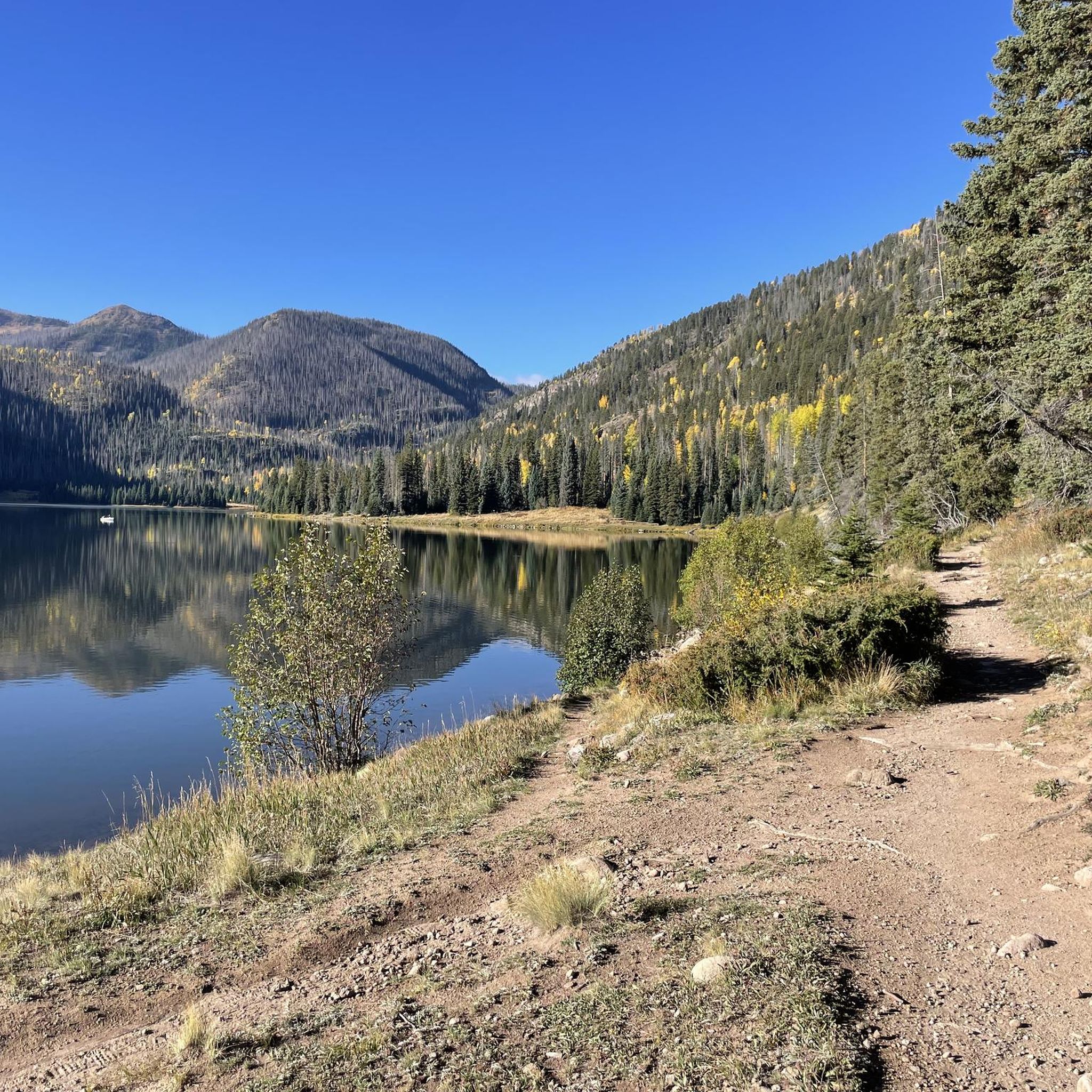
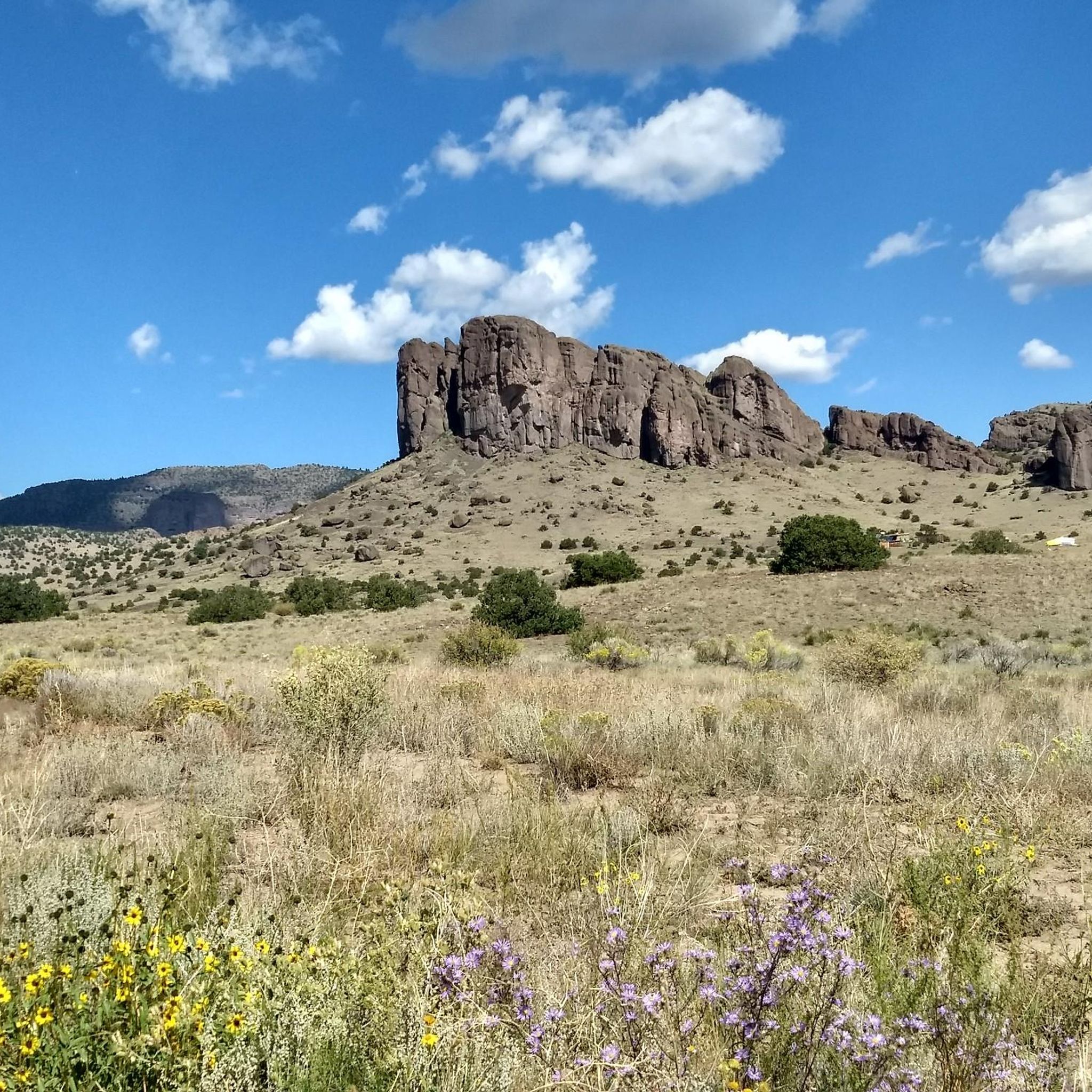
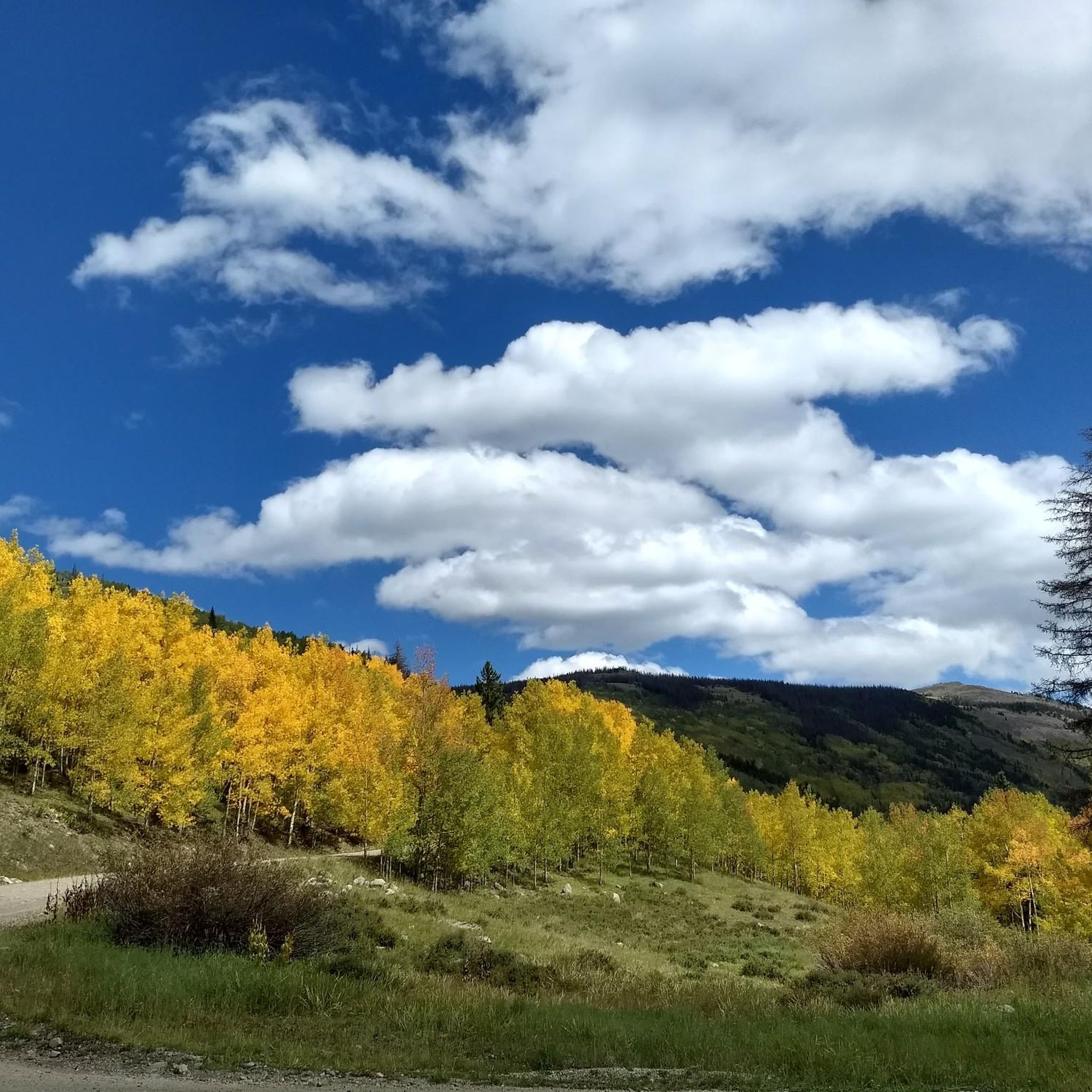
Hikes in Rio Grande National Forest cover a vast area of southern Colorado, defined by the high-alpine landscapes of the San Juan and Sangre de Cristo mountain ranges. The terrain is characterized by high-elevation forests, alpine meadows, and trails that often follow the Rio Grande River and its tributaries. The region includes portions of four designated Wilderness areas, offering routes from gentle riverside walks to challenging ascents to alpine lakes and peaks.
Best hiking trails in Rio Grande National Forest
…Last updated: October 10, 2026
13
hikers
35.6km
12:43
1,060m
1,590m
Hard hike. Very good fitness required. Mostly accessible paths. Sure-footedness required.
6
hikers
29.0km
10:00
760m
1,140m
Hard hike. Very good fitness required. Mostly accessible paths. Sure-footedness required.

2
hikers
8.93km
03:21
850m
120m
Moderate hike. Good fitness required. Easily-accessible paths. Suitable for all skill levels.
2
hikers
3.38km
01:09
190m
130m
Easy hike. Great for any fitness level. Easily-accessible paths. Suitable for all skill levels.
1
hikers
4.48km
01:25
280m
40m
Easy hike. Great for any fitness level. Easily-accessible paths. Suitable for all skill levels.
Get access to more routes and recommendations from other explorers.
Already have an account?
Our route recommendations are based on thousands of hikes, rides, and runs completed by other people on komoot.
Start today with a free account
Your next adventure awaits.
Popular around Rio Grande National Forest



Other adventures in Rio Grande National Forest


Tips from the Community

At Wolf Creek Pass, the Continental Divide Trail crosses Highway 160. It is a good spot to get on or off the trail or for hitching into South Fork (to the north) or Pagosa Springs (to the south). Be careful when crossing the highway as it is quite busy.
2
0

This junction is a meeting point of the Colorado Trail and the Continental Divide Trail. Heading northbound, the Colorado Trail and Continental Divide Trail will overlap for 317 miles.
0
0
This saddle sits just above 12,500 feet, and is the junction to San Luis Peak with the CDT/CT. From this point it is 1.4 miles to the summit of San Louis Peak and 1,300 feet of elevation gain.
0
0
Lujan Road sits just south of Lujan Pass at 10,242 feet, and crosses the CT/CDT between Cochetopa Hills and the northern edge of the La Garita Wilderness. Lujan Road back toward Saguache or Gunnison. Lujan Pass sits a few yards southwest.
0
0
Jutting 12,598 feet above sea level from the West Elk Mountains sits Middle Baldy, with views opening up from the surrounding forests.
0
0
This junction is where the Colorado Trail and CDT intersect the Baldy Lake Trail. If you are hiking the Colorado Trail/CDT and need water during this dry stretch, consider taking the Baldy Lake Trail north for half a mile to fill up at Baldy Lake.
0
0
San Luis Peak in the San Juan Mountains is one of Colorado‘s famous 14ers. The most common routes to the summit start at the Eddiesville Trailhead. It is an easy accessible peak for hikers of the Colorado Trail/Continental Divide Trail, since it is located just next to the trail. It will take about an hour (in and out) from there.
3
0
The Colorado Trail is the only long-distance trail to let you stop a train in the middle of the wilderness. Take the short spur trail to Elk Park where you can flag down the train to take you into Silverton. The usual rate is 35 Dollars, but it is up to the conductor to charge less or even nothing.
0
0
Frequently Asked Questions
What is the best time of year to hike in the Rio Grande National Forest?
The prime hiking season is from late spring to early fall, typically June through September. During these months, most trails are free of snow and the weather is generally favorable for high-altitude adventures. Wildflowers are abundant in July and August. Be aware that afternoon thunderstorms are common in the summer, so it's best to start your hikes early.
Are there any easy, family-friendly hikes in the area?
Yes, the forest offers several gentler options. A great choice for families is the Big Meadows Reservoir – Archuleta Trail loop from Monte Vista. It's a relatively short and flat walk around a scenic reservoir, perfect for an easy outing.
I'm looking for a challenging backpacking trip. Any suggestions?
For a demanding multi-day adventure, consider the North Fork Crestone Trail to Comanche Lake. This long-distance route in the Sangre de Cristo Wilderness involves significant elevation gain and rewards backpackers with stunning alpine scenery and solitude.
Are dogs allowed on the trails in the Rio Grande National Forest?
Generally, dogs are welcome on most trails in the Rio Grande National Forest, but they must be under voice control or on a leash. However, regulations are stricter in designated Wilderness areas, where leashes are often required to protect wildlife and the natural environment. Always check specific regulations for the area you plan to visit and be sure to pack out all waste.
What kind of wildlife might I see while hiking?
The forest's diverse ecosystems support a variety of wildlife. It's common to see mule deer and elk, especially at dawn and dusk. In higher elevations, you might spot bighorn sheep or moose. The area is also home to black bears, so it's crucial to store food properly and be bear-aware on the trails.
Are there any trails that lead to alpine lakes?
Absolutely. Hiking to a pristine alpine lake is a classic Rio Grande experience. The hike to South Crestone Lake is a popular moderate option that takes you through beautiful forests to a stunning lake nestled in the Sangre de Cristo Wilderness.
What are the trail conditions like in the high-elevation areas?
Trails in the high country can be rugged and rocky, with significant elevation changes. Routes like the Treasure Creek Trail to Summit Peak ascend into the alpine zone, where the terrain is often exposed and weather can change rapidly. Always be prepared with layers, sun protection, and plenty of water.
Do I need a permit for hiking or backcountry camping?
For day hiking, permits are generally not required. For backcountry camping, especially within the four designated Wilderness areas (South San Juan, Weminuche, La Garita, Sangre de Cristo), regulations can vary. It's essential to check with the local Forest Service ranger district for the most current rules on permits, group size limits, and camping locations before your trip.
What are the rules for campfires?
Campfire regulations change frequently based on weather conditions and fire danger. Stage 1 or Stage 2 fire restrictions are common during dry periods, which can limit or completely ban campfires. Always check for current fire bans on the official Rio Grande National Forest website before you go. When allowed, use existing fire rings and ensure your fire is completely extinguished before leaving.
How do I get to the trailheads? Is public transport an option?
Accessing trailheads in the Rio Grande National Forest almost always requires a private vehicle. The forest is vast and remote, and public transportation options are virtually nonexistent. Many forest roads can be rough and unpaved, so a high-clearance vehicle is recommended for reaching more remote trailheads.
What do other hikers enjoy about the Rio Grande National Forest?
The region is highly regarded by the komoot community. Hikers often praise the dramatic mountain scenery, the solitude found on many trails, and the variety of hikes available, from challenging peak ascents to serene walks along rivers and lakes. The well-preserved wilderness character is a frequently mentioned highlight.
Are there any unique geological features to see on a hike?
Yes, the forest has some fascinating geology. The Wheeler Geologic Area features a unique landscape of eroded volcanic tuff, creating a 'ghost city' of spires. Another highlight is the La Garita Natural Arch, a large arch formed from volcanic rock. Hikes to these areas offer a different experience from the typical mountain trails. You can find more information at the regional tourism site.
Most popular routes in Rio Grande National Forest
Most popular attractions in Rio Grande National Forest

Get inspired with the komoot mobile app


Explore more
Browse the best Hikes in other regions.
