The best cycling routes in Rio Grande National Forest
5.0
(3)
100
riders
7
rides
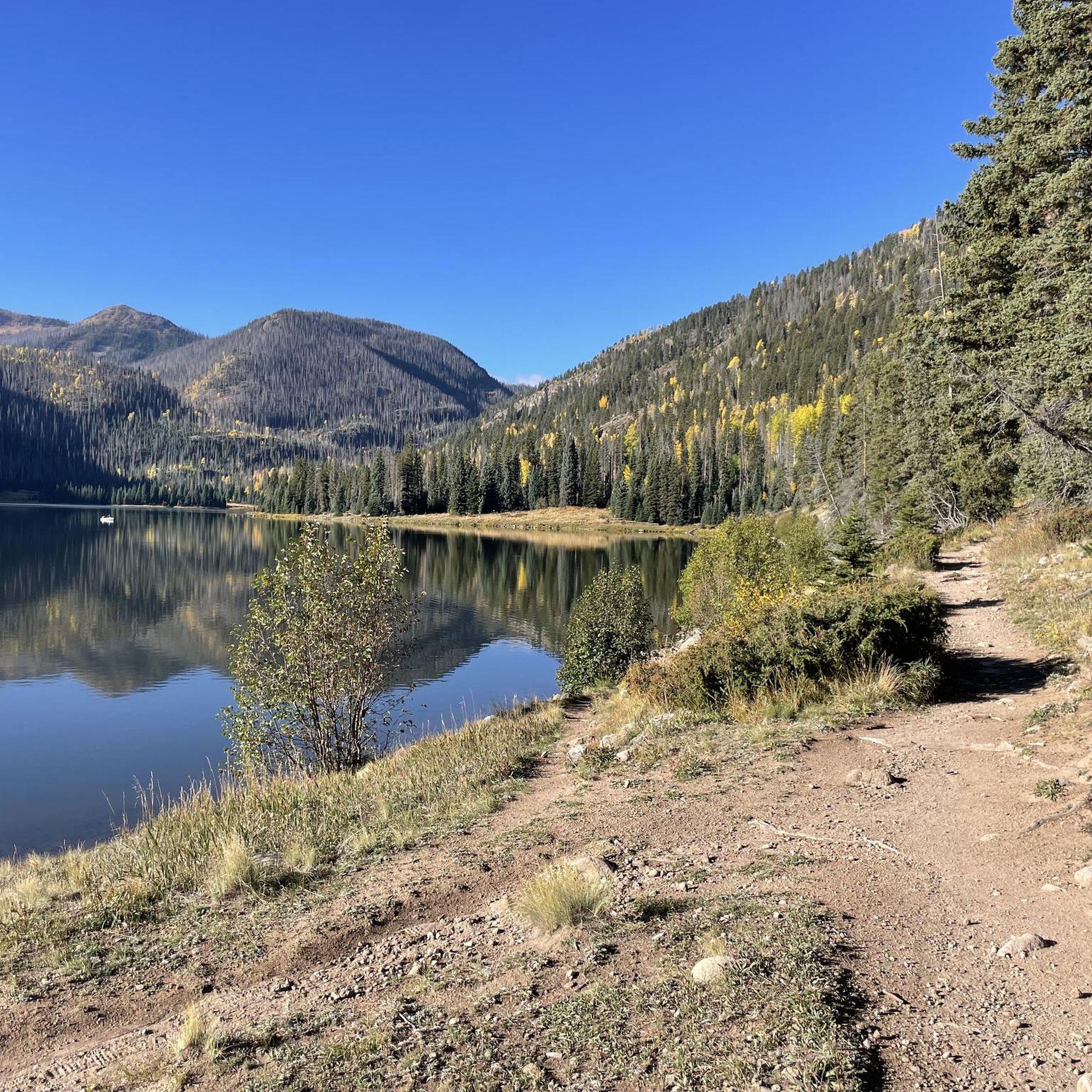
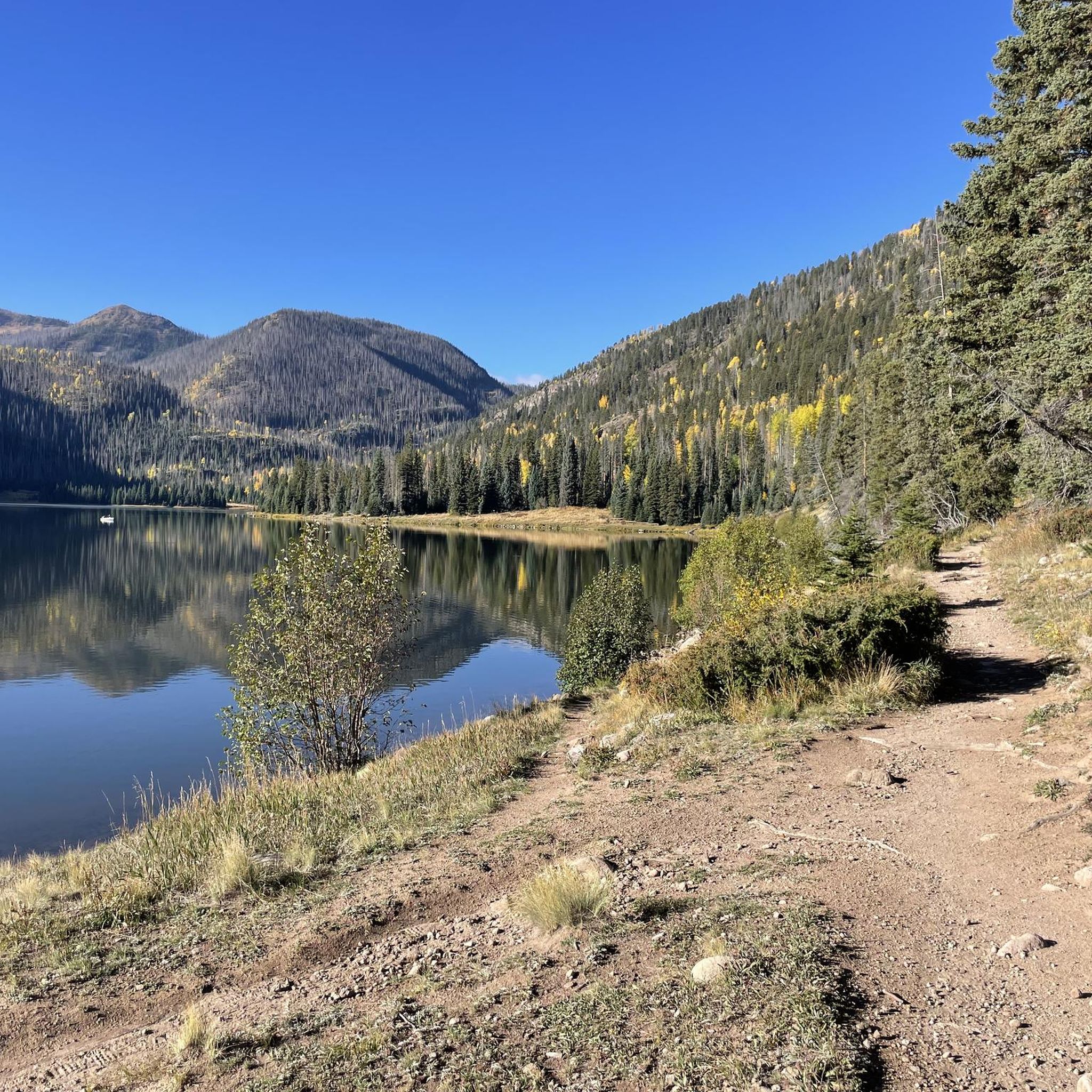
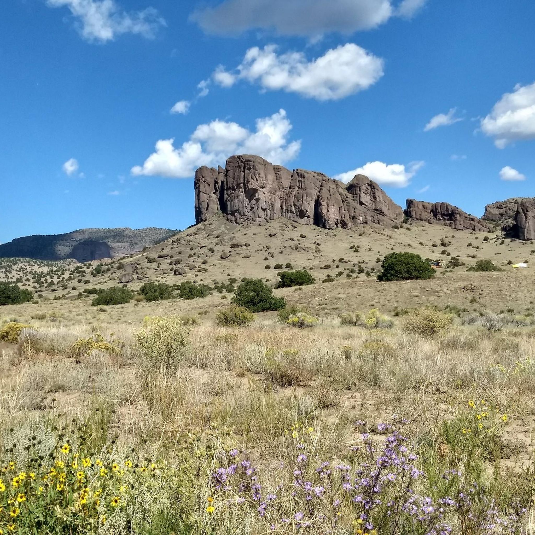
Touring cycling in Rio Grande National Forest offers routes through a vast landscape spanning 1.83 million acres in south-central Colorado. The region is characterized by high-elevation deserts, rocky crags, and the dramatic Sangre de Cristo and San Juan Mountains, which define its eastern and western borders. The San Luis Valley provides a contrasting alpine environment, while the Rio Grande River originates within the forest, adding diverse hydrological features to the terrain.
Best touring cycling routes in Rio Grande National Forest
…Last updated: July 22, 2026
4
riders
19.2km
02:09
610m
620m
Hard bike ride. Very good fitness required. Mostly paved surfaces. Suitable for all skill levels.
19
riders
8.65km
00:52
120m
120m
Easy bike ride. Great for any fitness level. Mostly paved surfaces. Suitable for all skill levels.

Sign up for free
8
riders
19.1km
01:08
130m
130m
Easy bike ride. Great for any fitness level. Mostly paved surfaces. Suitable for all skill levels.
5
riders
20.8km
01:18
140m
140m
Easy bike ride. Great for any fitness level. Mostly paved surfaces. Suitable for all skill levels.
19.3km
02:21
760m
760m
Tackle the difficult 12.0-mile Cinnamon Pass touring cycling route, gaining 2494 feet through stunning San Juan Mountains scenery and ghost
Get access to more routes and recommendations from other explorers.
Sign up for free
Already have an account?
Our route recommendations are based on thousands of hikes, rides, and runs completed by other people on komoot.
Start today with a free account
Your next adventure awaits.
Login or Signup


Other adventures in Rio Grande National Forest


Tips from the Community

One of the biggest indoor hot spring spas in the US, with adjacent Skate Park and a museum with visitor center.
0
0
The Monarch Spur Trail runs for 2.5 miles between the Arkansas River in downtown Salida west to the end of the railroad right-of-way near County Road 120. The trail provides access from town to city parks, playing fields and neighborhoods, with dramatic views of the surrounding mountains along the way
1
0
The Salida Hot Springs Aquatic Center offers a unique blend of recreation and relaxation in a welcoming, family-friendly environment. As one of the largest indoor hot springs facilities in the country, the Aquatic Center features naturally-heated mineral water piped in from the nearby mountains. You’ll find a spacious lap pool for swimming and aquatic fitness, plus a warmer leisure pool perfect for soaking and playing. Private soaking pools can be booked for a tranquil escape to recover after a day on the trails. For updated hours, rates, and special programs like water fitness classes and swim lessons, check https://www.cityofsalida.com/aquaticcenter
1
0
Salida is a great stop along the Great Divide Trail and a good base for shorter bike excursions. The beautiful mountain town is located in the heart of the Rockies in central Colorado. Downtown Salida is listed on the National Register of Historic Places. Due to the cool summers and relatively mild winters, the area around Salida is nicknamed the "banana belt" of Colorado. The attractive city has a charming downtown with well-restored historical buildings, as well as many art galleries. Old town is located on the edge of the Arkansas, which makes it particularly pleasant, with car-free access to lush riverside parks.
0
0
The Salida Museum preserves, safeguards and displays significant artifacts of Salida and Central Colorado. Exhibits include pretty much everything about Salida history, beginning around 1880, when Salida was founded and became a major railroad center. The museum is staffed by volunteers who are passionate about preserving the past. Summer hours are generally noon to 4 p.m. Wednesday through Sunday, and winter hours are noon to 4 p.m. Saturday and Sunday. At other times a volunteer may be available on “off days” by calling 719- 539 -3139. to accommodate folks who are interested in learning about Salida history. https://salidamuseum.org
0
0

Cinnamon Pass, located within the San Juan Mountains, stands at an elevation of about 12,640 feet. This high mountain pass offers panoramic views of the surrounding peaks, as well as old mining remnants.
0
0

Poncha Springs is a tiny town just west of Salida, Colorado. Although there are not many facilities here, there is the Poncha Market, a hidden-gem where you can purchase drinks, snacks, and sandwiches at Mabel's Deli (located in the market) to refuel, and a cool town hall (in the old historic school house) where there are bathrooms you can use.
0
0
Poncha Springs is a tiny town just west of Salida, Colorado. Although there are not many facilites here, there is the Poncha Market, a hidden-gem where you can purchase drinks, snacks, and sandwiches at Mabel's Deli (located in the market) to refuel, and a cool town hall (in the old historic school house) where there are bathrooms you can use.
0
0
Frequently Asked Questions
How many touring cycling routes are available in Rio Grande National Forest?
Rio Grande National Forest offers a variety of touring cycling routes. You can find approximately 8 routes, catering to different skill levels, from easy valley rides to challenging mountain ascents.
What kind of terrain can I expect on touring cycling routes in Rio Grande National Forest?
The terrain in Rio Grande National Forest is incredibly diverse. You'll encounter everything from high-elevation deserts and rocky crags to the dramatic Sangre de Cristo and San Juan Mountains. The San Luis Valley provides a contrasting alpine environment, and many routes follow gravel roads through extensive trail systems and vibrant aspen groves, especially beautiful in the fall.
Are there family-friendly touring cycling routes in Rio Grande National Forest?
Yes, there are several easy touring cycling routes suitable for families. For instance, the Spartan East Trail loop from CR 108 Trailhead is an easy 5.4-mile path, offering a shorter ride through varied terrain. Another accessible option is the Poncha Springs – The Salida Museum loop from Poncha Springs, an 11.8-mile trail leading through the San Luis Valley.
Can I find circular touring cycling routes in Rio Grande National Forest?
Yes, many touring cycling routes in the Rio Grande National Forest are designed as loops. Examples include the challenging Willow Creek Drainage Pond loop from Creede, the easy Spartan East Trail loop from CR 108 Trailhead, and the Poncha Springs – Along the Arkansas River loop from Poncha Springs.
What are some scenic viewpoints or natural features I might encounter on touring cycling routes?
The Rio Grande National Forest is rich with natural beauty. You can expect high-altitude views, especially from trails like the Jarosa Mesa Loop. The region is defined by the Continental Divide and the jagged Sangre de Cristo Mountains, offering dramatic backdrops. You might also encounter the Rio Grande Headwaters, serene lakes such as those near Lake and campsites, and the Maggie Gulch Overlook. Vibrant aspen groves are also a common sight, particularly in the fall.
Are e-bikes permitted on touring cycling routes in Rio Grande National Forest?
Yes, Class 1, 2, and 3 electric bicycles are permitted on motorized trails and roads within the Rio Grande National Forest, expanding accessibility for many riders.
What kind of wildlife might I see while cycling in Rio Grande National Forest?
The forest is home to diverse wildlife. Cyclists may have the opportunity to spot bald eagles soaring overhead or herds of elk grazing in open areas. Keep an eye out, especially during dawn and dusk.
Do I need any special permits or pay fees for touring cycling in Rio Grande National Forest?
Generally, no special permits or fees are required for touring cycling on most trails and roads within the Rio Grande National Forest. However, it's always advisable to check with the local Forest Service office for any specific regulations or temporary closures before your ride, especially if venturing into designated wilderness areas where bikes are not permitted.
When is the best time of year for touring cycling in Rio Grande National Forest?
The best time for touring cycling in Rio Grande National Forest is typically from late spring through early fall. Summer offers pleasant temperatures, while the fall brings stunning displays of vibrant aspen groves. Cyclists should be mindful of snowmelt conditions in spring and potential early snow in late fall, especially at higher elevations.
What are the difficulty levels of touring cycling routes in Rio Grande National Forest?
The routes in Rio Grande National Forest cater to various skill levels. You'll find a good mix, with approximately 5 easy routes, 1 moderate route, and 2 difficult routes. This range allows for gentle rides through valleys or more challenging ascents into the mountains.
Are there any less crowded touring cycling trails in Rio Grande National Forest?
Given the vastness of the 1.83 million-acre forest and its extensive network of trails and roads, it's possible to find less crowded routes, especially away from the most popular trailheads. Exploring some of the less-trafficked forest roads or lesser-known loops can offer a more solitary experience. The Cinnamon Pass route, while challenging, can offer remote sections.
What do other touring cyclists enjoy most about touring cycling in Rio Grande National Forest?
The area is highly rated by the komoot community, with an average score of 5.0 stars. Reviewers often praise the towering mountains, extensive trail systems, and the diverse landscapes, from high-elevation deserts to alpine valleys. The opportunity to experience the natural beauty of the San Juan and Sangre de Cristo ranges is a common highlight.
Most popular routes in Rio Grande National Forest
Most popular attractions in Rio Grande National Forest

Get inspired with the komoot mobile app


Explore more
Browse the best Cycling routes in other regions.
