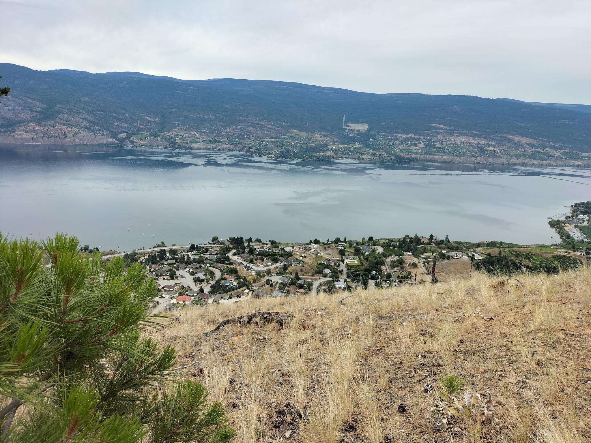
The best running trails around Area F (Trout Creek Valley)
3.0
(1)
195
runners
24
runs
Jogging around Area F (Trout Creek Valley) offers diverse terrain across various regions, characterized by mountain landscapes, river valleys, and extensive trail systems. The area features rugged mountains, forests, and unique desert landscapes with willow-lined canyons and aspen woodlands. Jogging routes can be found along broad, flat basins, rolling ridges, and through vital wetlands. This varied topography provides a range of running experiences for outdoor enthusiasts.
Best jogging routes around Area F (Trout Creek Valley)
- The most popular jogging route…
Last updated: October 14, 2026
9
runners
12.9km
01:29
360m
360m
Hard run. Very good fitness required. Mostly paved surfaces. Suitable for all skill levels.
8
runners
6.31km
00:41
110m
110m
Moderate run. Good fitness required. Mostly paved surfaces. Suitable for all skill levels.

9
runners
10.4km
01:07
110m
110m
Moderate run. Good fitness required. Mostly paved surfaces. Suitable for all skill levels.
13
runners
10.00km
01:03
110m
110m
Moderate run. Good fitness required. Mostly paved surfaces. Suitable for all skill levels.
10
runners
5.82km
00:53
310m
310m
Hard run. Very good fitness required. Mostly paved surfaces. Suitable for all skill levels.
Get access to more routes and recommendations from other explorers.
Already have an account?
Our route recommendations are based on thousands of hikes, rides, and runs completed by other people on komoot.
Start today with a free account
Your next adventure awaits.
Popular around Area F (Trout Creek Valley)

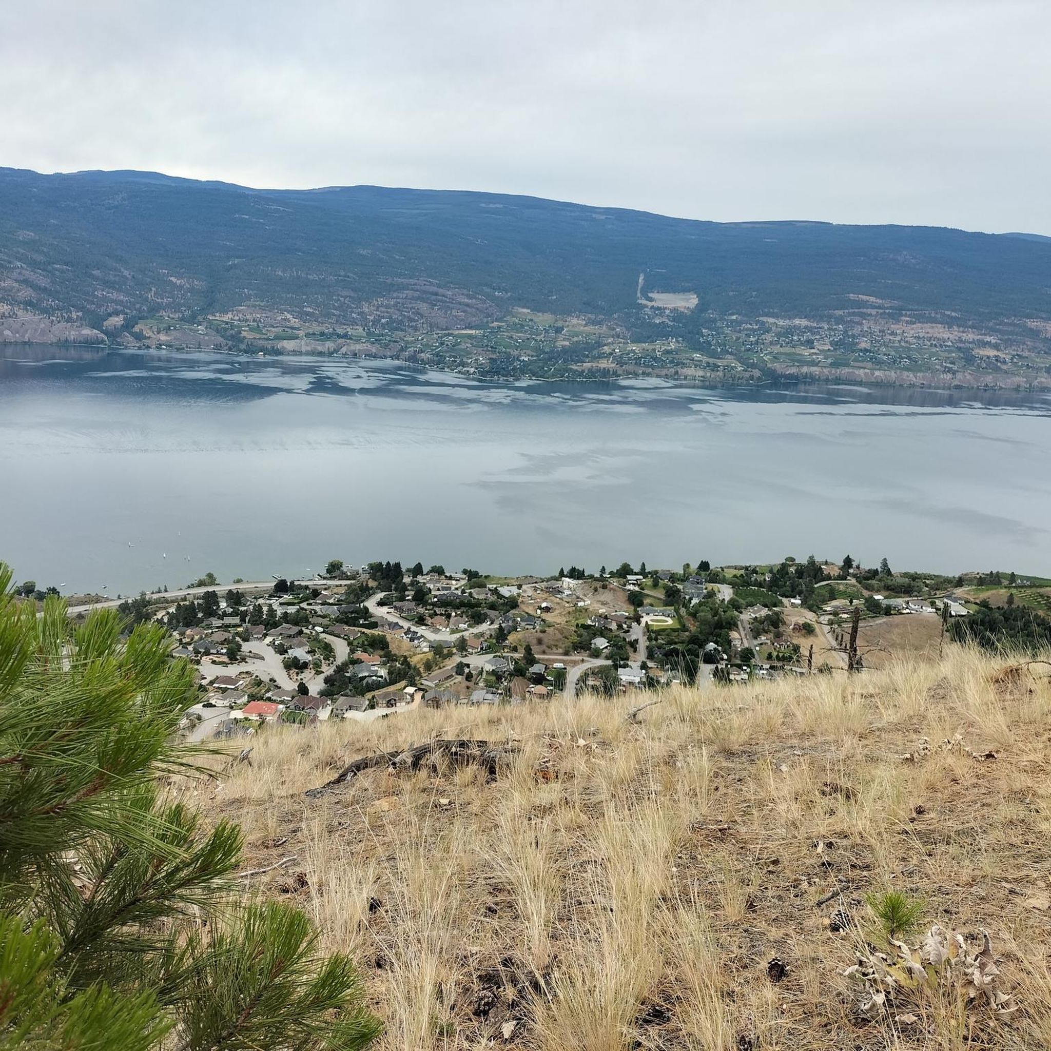
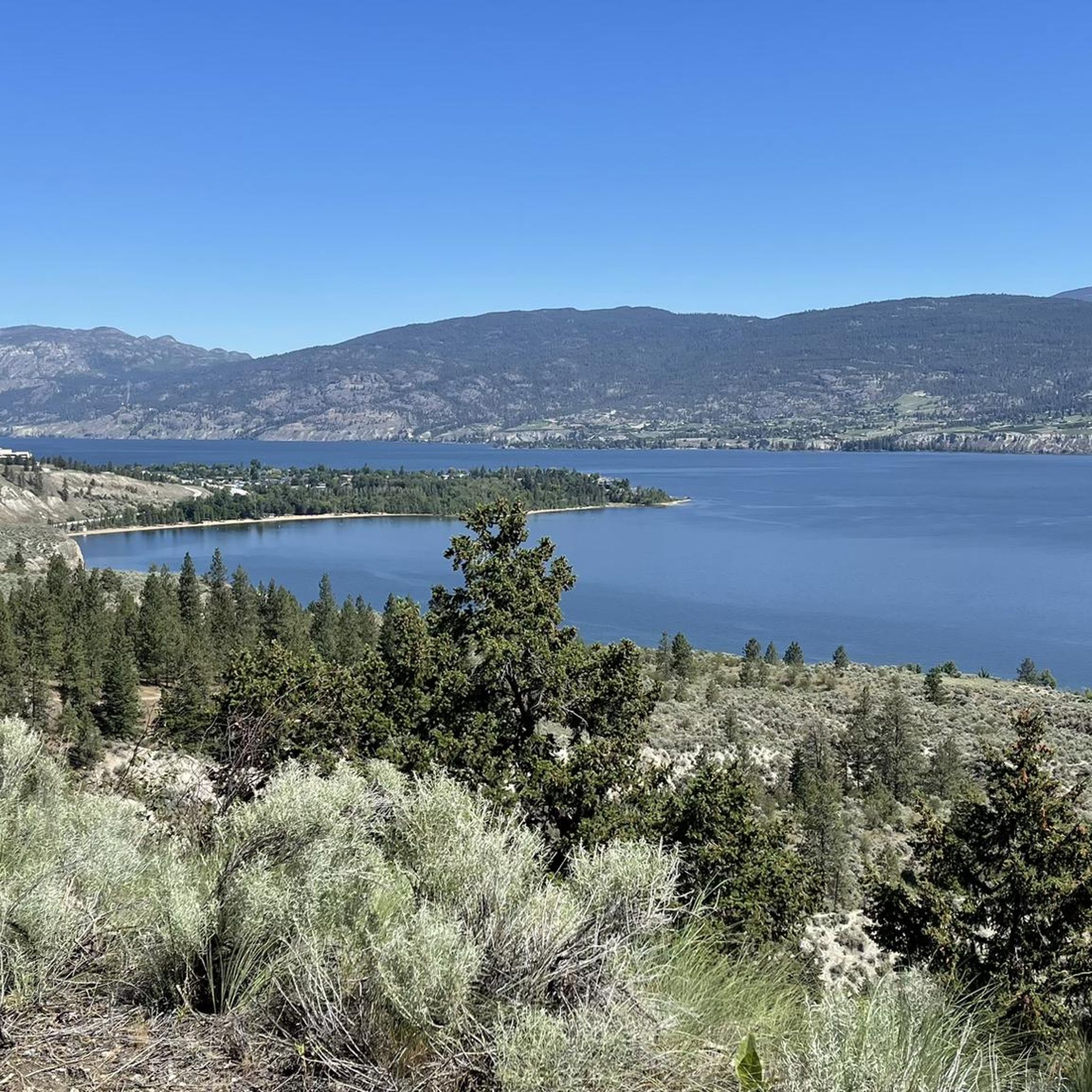
Other adventures around Area F (Trout Creek Valley)

Frequently Asked Questions
How many running routes are available in Area F (Trout Creek Valley)?
There are over 25 running routes in Area F (Trout Creek Valley) for you to explore. These routes offer a diverse range of experiences, from moderate paths to more challenging trails.
What kind of terrain can I expect on the running trails in Area F (Trout Creek Valley)?
The terrain in Area F (Trout Creek Valley) is quite varied. You'll find routes through mountain landscapes, along broad, flat basins, and over rolling ridges. Depending on the specific location within the Trout Creek Valley, you might encounter unique desert landscapes with willow-lined canyons, aspen woodlands, or even vital wetlands. For example, the Mount Conkle loop from Giant's Head Mountain Park offers mountain landscapes and varied terrain.
Are there any easy or beginner-friendly jogging paths in Area F (Trout Creek Valley)?
While many routes are moderate to difficult, some areas within the broader Trout Creek Valley, such as near Trout Creek in California, offer mostly flat terrain ideal for jogging. The Crescent Beach loop from Summerland is a moderate option that is often completed in about 40 minutes, making it suitable for many runners.
What are some notable natural features or landmarks I can see while running in Area F (Trout Creek Valley)?
Area F (Trout Creek Valley) is rich in natural beauty. Depending on the specific region, you might encounter features like the rugged Cabinet Mountains Wilderness, the beautiful Vermillion and Graves Creek falls in Montana, or the unique desert landscapes and willow-lined canyons of the Trout Creek Mountains in Oregon. Near Lake Tahoe, you can experience mountain landscapes and vital wetlands. You can also find highlights like Giants Head Summit and Okanagan Lake along some routes.
Are there any circular running routes in Area F (Trout Creek Valley)?
Yes, several circular running routes are available. For instance, the popular Running loop from Summerland is a moderate 6.5-mile path that features rolling ridges and diverse natural environments. Another option is the Giant's Head loop from Summerland, which is a more difficult 5.8-mile route.
What do other runners enjoy most about jogging in Area F (Trout Creek Valley)?
The running routes in Area F (Trout Creek Valley) are highly rated by the komoot community, with an average score of 3.0 stars. Runners often praise the diverse terrain, scenic natural environments, and the variety of experiences offered, from mountain landscapes to tranquil wetlands. Over 170 runners have used komoot to explore the area's varied trails.
Are there any running routes in Area F (Trout Creek Valley) that offer views of lakes or water features?
Yes, many routes offer scenic views of water features. For example, the Trout Creek in California flows into Lake Tahoe, and trails there provide views of the lake and vital wetlands. In other regions, you might find trails along streams or near waterfalls like Agate Falls in Michigan. The Marina Way Beach loop from West Bench Elementary offers views of Okanagan Lake.
Can I find long-distance running trails in Area F (Trout Creek Valley)?
Yes, Area F (Trout Creek Valley) offers options for longer runs. The most popular route, Mount Conkle loop from Giant's Head Mountain Park, is 8.0 miles (12.9 km) long, providing a substantial distance for a challenging run. The planned Montour Woods Greenway in Pennsylvania also aims to create a continuous 10-mile trail, offering extensive routes for outdoor activities.
What is the best time of year for running in Area F (Trout Creek Valley)?
The best time to visit for running can vary by specific location within the Trout Creek Valley. Generally, spring and fall offer pleasant temperatures and beautiful scenery, such as aspen woodlands displaying striking colors in the fall in the Oregon Trout Creek Mountains. Some areas, like the remote Trout Creek Mountains, are open for recreation year-round, but seasonal considerations like snow or extreme heat should be taken into account.
Are there any specific parks or areas known for good running in Area F (Trout Creek Valley)?
Yes, several areas are well-suited for running. Trout Run Park in Pennsylvania provides green space with amenities, while Trough Creek State Park offers more challenging, rocky paths. In Michigan, the Davidson Lake Wildlife Viewing Area features a maze of trails suitable for jogging. The Trout Valley Trails in Minnesota offer scenic views from wooded ridges. Many komoot routes originate near places like Giant's Head Mountain Park and Summerland.
Are there any trails suitable for families with children in Area F (Trout Creek Valley)?
While specific family-friendly routes are not detailed in the guide, areas with mostly flat terrain, such as parts of Trout Creek in California or Trout Run Park in Pennsylvania, would generally be more suitable for families. Look for routes described as 'easy' or 'moderate' and consider shorter loops like the Crescent Beach loop from Summerland.
Where can I find information about parking or public transport for running trails in Area F (Trout Creek Valley)?
Specific parking and public transport details vary greatly depending on the exact location within the vast Trout Creek Valley. Many trailheads, especially in state parks or designated recreational areas, typically offer parking facilities. For individual komoot routes, you can often find details about starting points and accessibility on the specific tour page. It's always recommended to check local resources for the specific trailhead you plan to visit.
Most popular routes around Area F (Trout Creek Valley)
Most popular attractions around Area F (Trout Creek Valley)

Get inspired with the komoot mobile app


Explore more
Browse the best Running Trails & Routes in other regions.
