The best MTB trails around Area F (Trout Creek Valley)
5.0
(2)
196
riders
13
rides
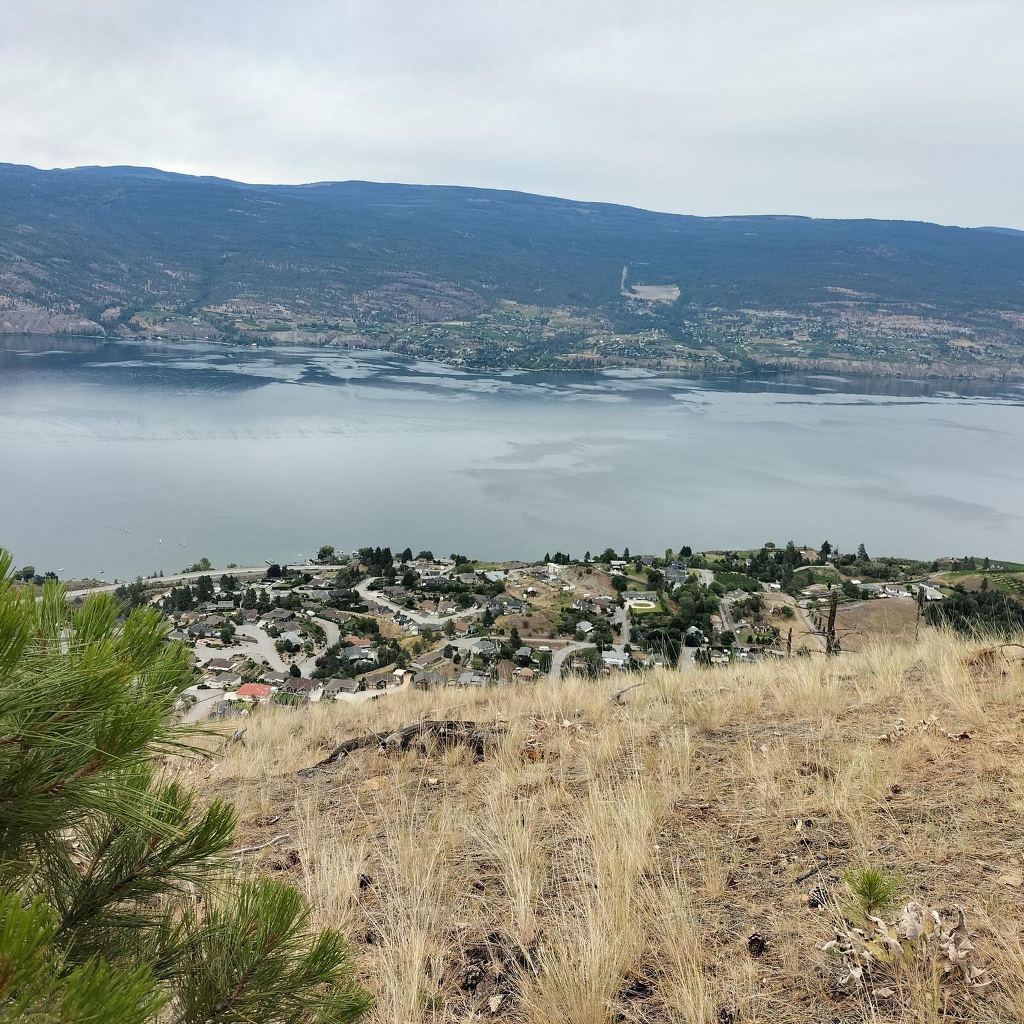
Mountain biking around Area F (Trout Creek Valley) offers a variety of routes across diverse terrain. The region is characterized by hills and valleys, with varied elevation changes and rocky sections. Riders can expect trails that traverse high mountain meadows, pine forests, and aspen groves. The landscape provides a mix of challenging climbs and more accessible paths, making it suitable for mountain biking exploration.
Best mountain bike trails around Area F (Trout Creek Valley)
- The most popular mountain bike trail…
Last updated: October 14, 2026
5.0
(1)
75
riders
35.3km
03:45
930m
930m
Hard mountain bike ride. Very good fitness required. Suitable for all skill levels.
19
riders
8.63km
00:59
280m
280m
Easy mountain bike ride. Great for any fitness level. Suitable for all skill levels.

16
riders
33.2km
03:09
820m
830m
Moderate mountain bike ride. Good fitness required. Suitable for all skill levels.
8
riders
22.1km
01:59
300m
300m
Moderate mountain bike ride. Good fitness required. Suitable for all skill levels.
8
riders
18.9km
01:47
380m
380m
Moderate mountain bike ride. Good fitness required. Suitable for all skill levels.
Get access to more routes and recommendations from other explorers.
Already have an account?
Our route recommendations are based on thousands of hikes, rides, and runs completed by other people on komoot.
Start today with a free account
Your next adventure awaits.
Popular around Area F (Trout Creek Valley)

Other adventures around Area F (Trout Creek Valley)

Tips from the Community

Sufferin to DQ is a classic Campbell Mountain connector with a name that tells you exactly what to expect: a steady climb with a little bite. The trail works its way up through dry hillside and singletrack toward the old DQ table, where the views give your legs a reason to forgive you.
0
0

Frequently Asked Questions
How many mountain bike trails are available in Area F (Trout Creek Valley)?
Area F (Trout Creek Valley) offers a selection of 13 mountain bike trails. These routes cater to various skill levels, including easy, moderate, and difficult options.
Are there any easy mountain bike trails suitable for beginners in Area F (Trout Creek Valley)?
Yes, there are easy mountain bike trails available. For instance, the Mount Campbell loop from Uplands is an easy 5.8-mile (9.4 km) path, ideal for a more accessible ride with moderate elevation.
What are the difficulty levels of mountain bike trails in Area F (Trout Creek Valley)?
The trails in Area F (Trout Creek Valley) range in difficulty. You'll find 2 easy routes, 10 moderate routes, and 1 difficult route, ensuring options for various experience levels.
What kind of terrain can I expect when mountain biking in Area F (Trout Creek Valley)?
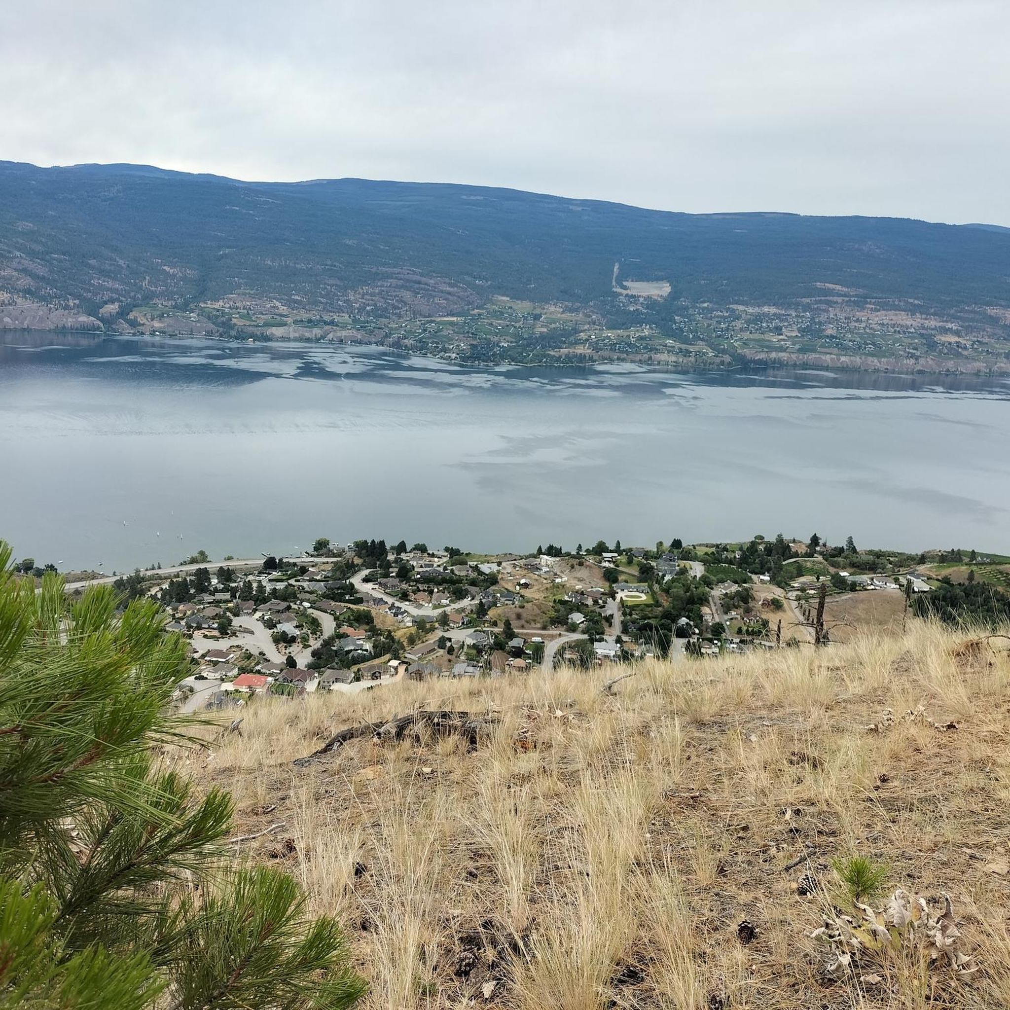
Mountain biking in Area F (Trout Creek Valley) is characterized by diverse terrain, including hills and valleys. Riders can expect varied elevation changes and scenic views throughout the area, offering a range of experiences from challenging climbs to more accessible paths.
Are there any circular mountain bike routes in Area F (Trout Creek Valley)?
Yes, many of the trails in Area F (Trout Creek Valley) are circular routes. Examples include the challenging Slabs loop from Penticton and the moderate Mount Conkle loop from Prairie Valley Station.
What are some notable landmarks or viewpoints along the mountain bike trails?
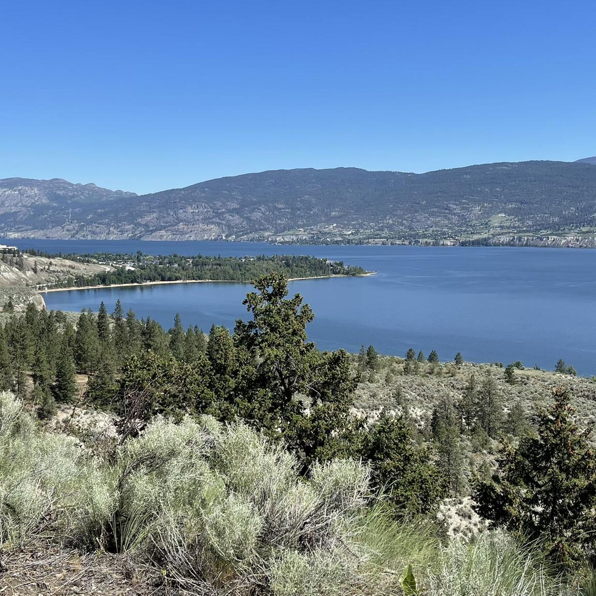
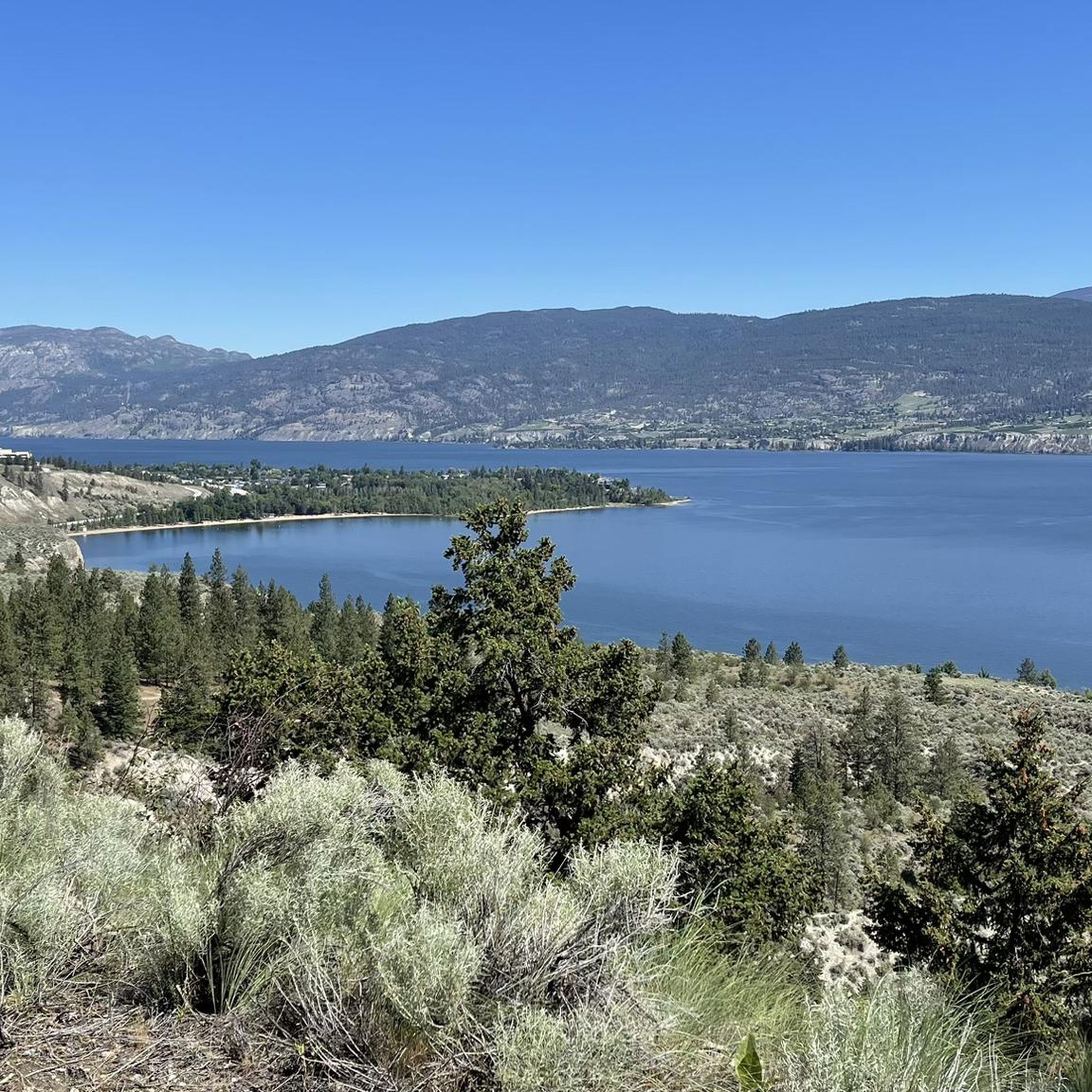
While riding, you might encounter several interesting points. Highlights include Giants Head Summit, offering panoramic views, and sections of the historic Kettle Valley Railway Trail. You can also find beautiful views of Okanagan Lake.
What do other mountain bikers say about the trails in Area F (Trout Creek Valley)?
The mountain bike routes in Area F (Trout Creek Valley) are highly rated by the komoot community, with an average score of 5.0 stars from 2 reviews. Over 190 mountain bikers have used komoot to explore the area's varied terrain, often praising the diverse experiences offered.
Are there any trails that pass by lakes or water features?
Yes, some routes offer proximity to water features. For example, you can find trails near Okanagan Lake, including Lakeside Beach on Okanagan Lake, and sections of the Kettle Valley Railway Trail by Skaha Lake.
How long do mountain bike rides typically take in Area F (Trout Creek Valley)?
Ride durations vary significantly based on the trail and your pace. For example, the difficult Slabs loop from Penticton typically takes around 3 hours 43 minutes, while the moderate Flow Coaster loop from Penticton can be completed in about 1 hour 47 minutes.
Are there any moderate mountain bike trails for intermediate riders?
Absolutely. Area F (Trout Creek Valley) has 10 moderate trails. A popular choice is the Mount Conkle loop from Prairie Valley Station, a 20.6-mile (33.2 km) trail leading through varied terrain, often completed in about 3 hours 9 minutes.
What is the longest mountain bike trail in Area F (Trout Creek Valley)?
The longest mountain bike trail listed is the Slabs loop from Penticton, which spans 21.9 miles (35.2 km) and features significant elevation gain, making it a challenging ride.
Most popular routes around Area F (Trout Creek Valley)
Most popular attractions around Area F (Trout Creek Valley)

Get inspired with the komoot mobile app


Explore more
Browse the best MTB trails in other regions.
