The best running trails around Langley
4.9
(17)
360
runners
41
runs
Jogging around Langley offers a diverse landscape, characterized by an extensive network of parks, trails, and natural features. The region features significant wetland areas like the Nicomekl River floodplain, which provides multi-use pathways along winding streams and farmland scenery. Expansive green spaces such as Campbell Valley Regional Park and Derby Reach Regional Park offer varied terrain, including forests, grasslands, and riverside paths along the Fraser River. This network provides numerous opportunities for runners to explore both natural and urban environments.
Best jogging routes around Langley
- The most popular jogging route is Langley Speedway loop from Campbell Valley Regional Park, an 8.4 miles (13.6 km) trail that takes 1 hour 30 minutes to complete. This moderate route traverses forests, grasslands, and wetlands within a large regional park.
- Another top favourite among local runners is Tavistock Point – Brae Island Regional Park loop from Derby Reach Regional Park, a moderate 8.3 miles (13.3 km) path. This route offers scenic views along the Fraser River, with a mix of gravel and paved surfaces, and passes through areas known for tall black cottonwood trees.
- Local runners also love the Brae Island Regional Park loop from Fort Langley National Historic Site, a 5.2 miles (8.4 km) trail leading through a regional park and near a historic site, often completed in about 52 minutes.
- Jogging around Langley is defined by river floodplains, extensive parklands with forests and grasslands, and scenic routes along the Fraser River. The network offers options for easy, moderate, and difficult running abilities.
- The routes in Langley are highly rated by the komoot community with an average score of 4.9 stars from more than 10 reviews. More than 300 runners have used komoot to explore Langley's varied terrain.
Last updated: October 8, 2026
5.0
(1)
53
runners
13.3km
01:29
120m
120m
Moderate run. Good fitness required. Mostly paved surfaces. Suitable for all skill levels.
38
runners
10.2km
01:03
40m
40m
Moderate run. Good fitness required. Mostly paved surfaces. Suitable for all skill levels.

26
runners
Moderate run. Good fitness required. Mostly paved surfaces. Suitable for all skill levels.
5.0
(2)
19
runners
4.21km
00:27
40m
40m
Easy run. Great for any fitness level. Mostly paved surfaces. Suitable for all skill levels.
5.0
(2)
19
runners
3.32km
00:21
30m
30m
Easy run. Great for any fitness level. Mostly paved surfaces. Suitable for all skill levels.
Get access to more routes and recommendations from other explorers.
Already have an account?
Our route recommendations are based on thousands of hikes, rides, and runs completed by other people on komoot.
Start today with a free account
Your next adventure awaits.

Tips from the Community

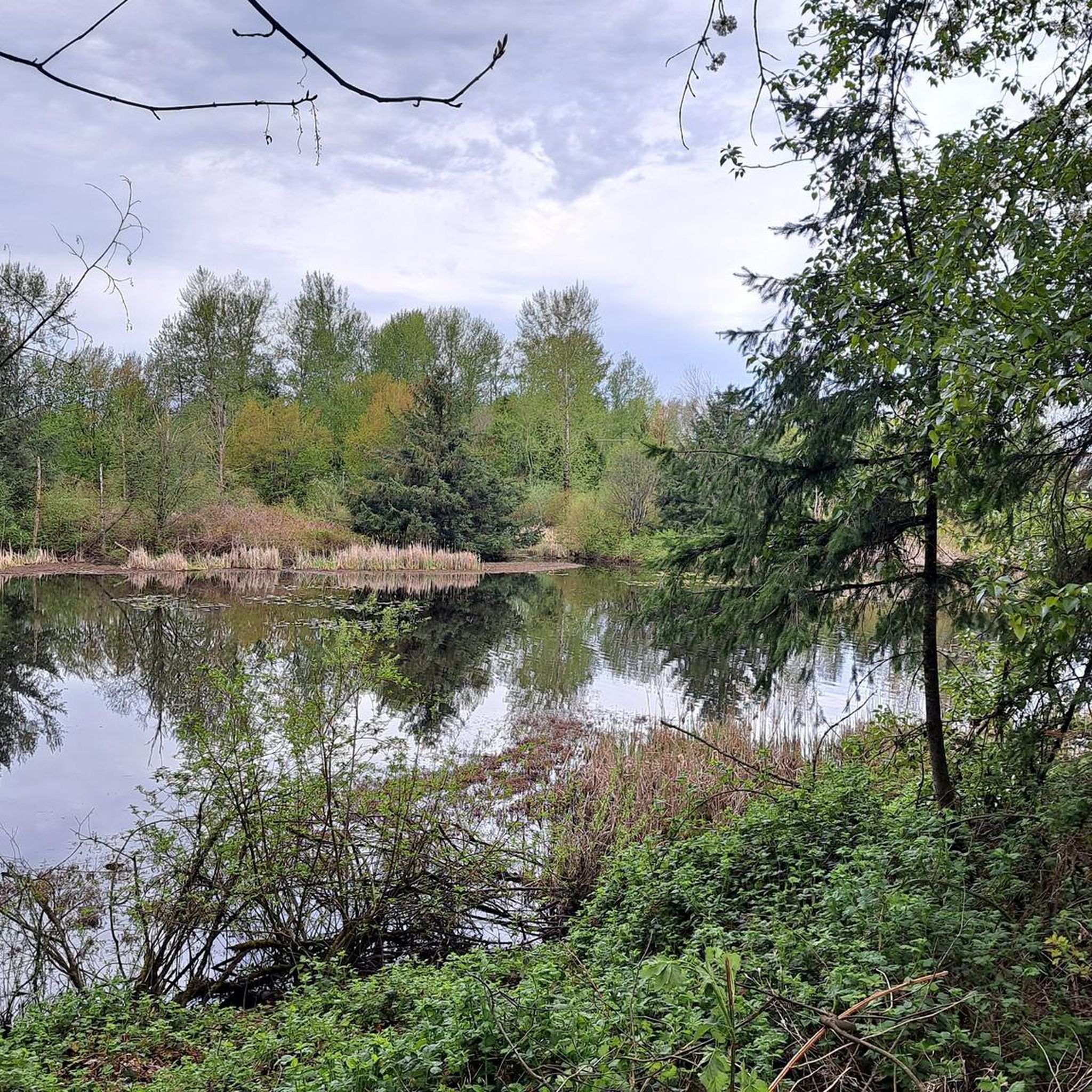
Shaggy Mane Trail is an 11-kilometre loop that pairs wide-open park scenery with steep climbs in and out of the valley. It is shared with horseback riders, so hikers should give way when meeting horses, and expect a few muddy stretches in wetter seasons.
0
0

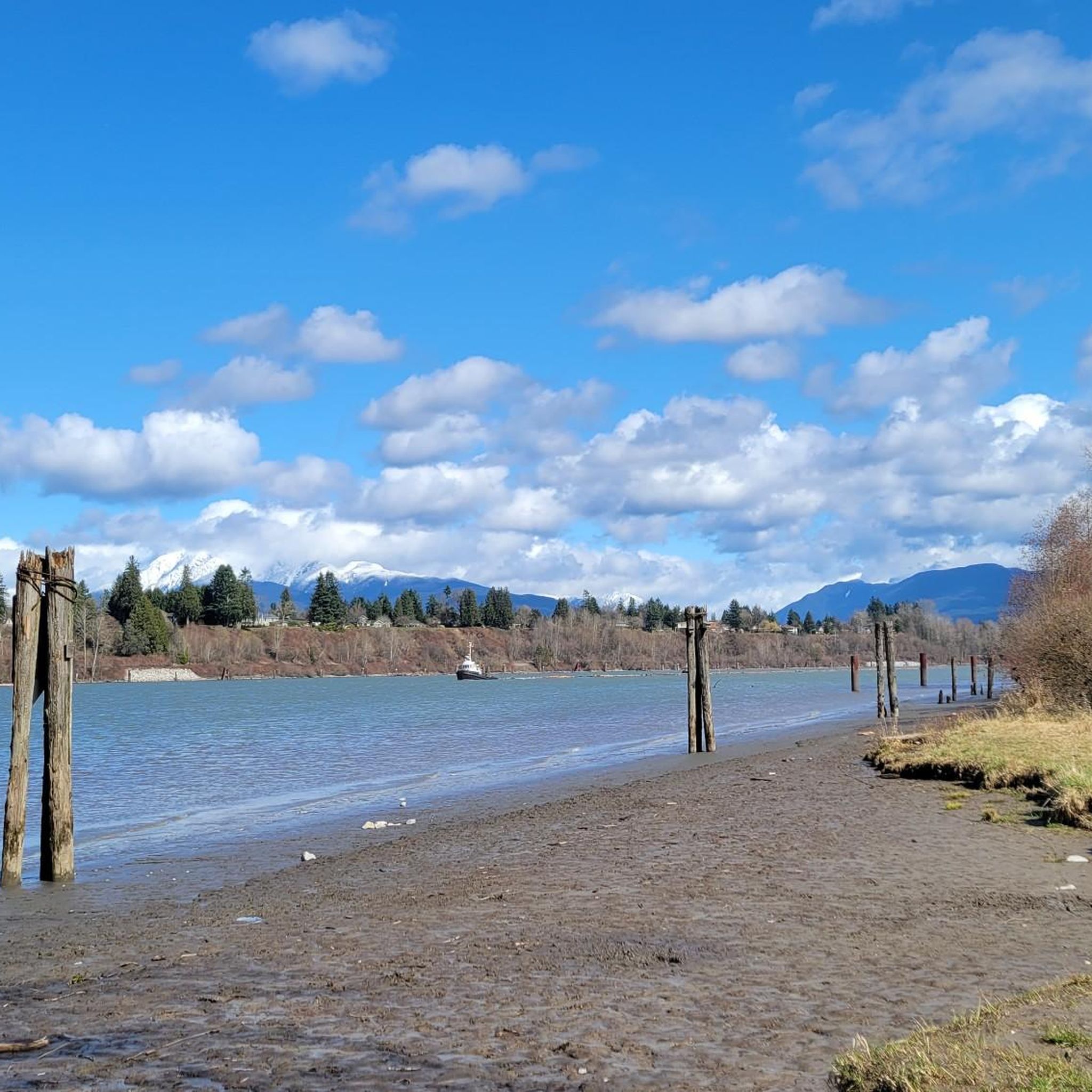
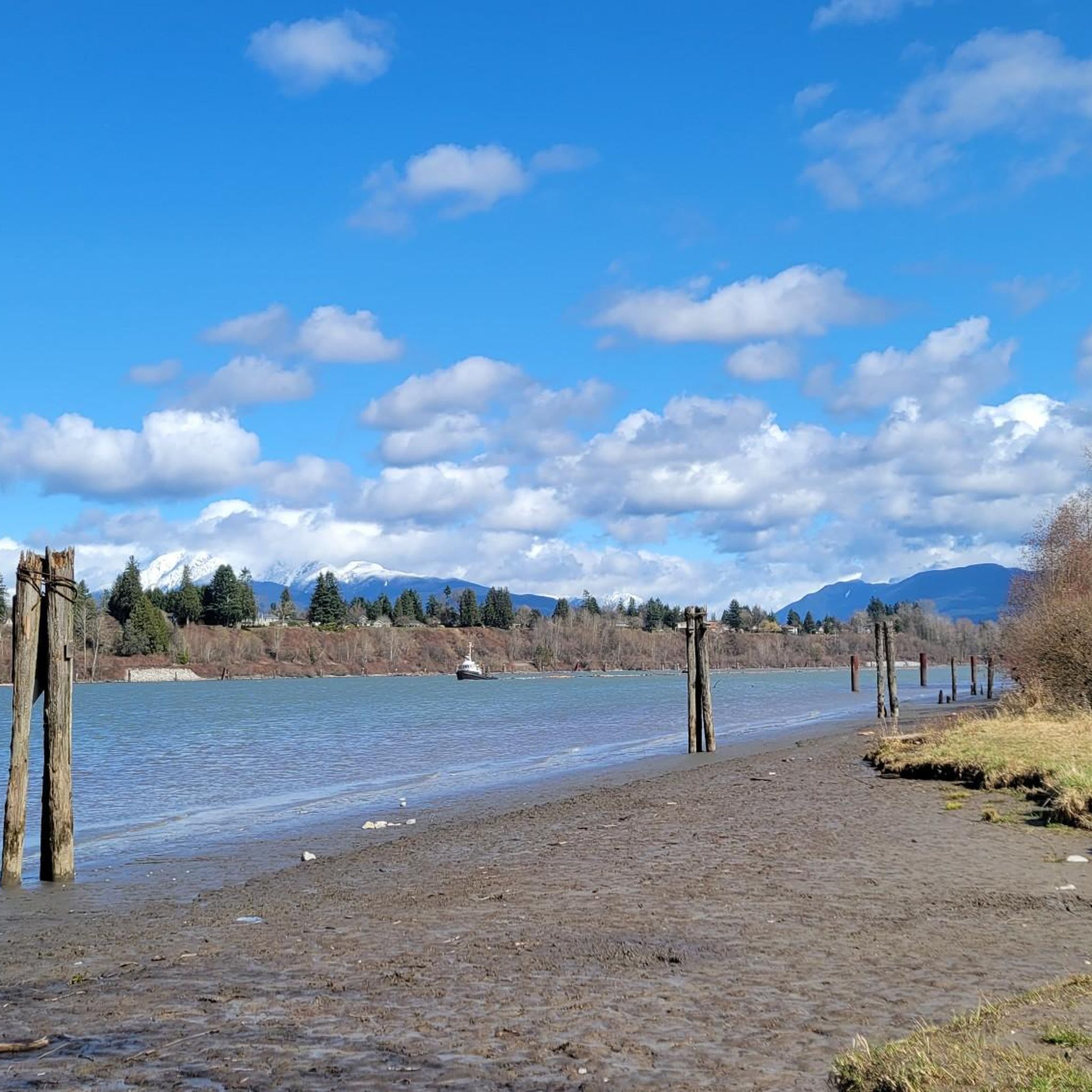
Derby Reach stretches along a calm bend of the Fraser River, where open fields, quiet forests, and wide riverside trails make for easy wandering. You'll find a mix of flat shoreline paths and the hillier Houston Trail loop with some multi-use trails open to hikers, joggers, cyclists, and even horseback riders. A large campground sits right at the water’s edge, with picnic shelters, washrooms, drinking water, and plenty of space to settle in for the night. Dogs are welcome on‑leash throughout most of the park, with a large off‑leash zone near Edgewater Bar. In short, you'll find that Derby Reach delivers a peaceful break with all the essentials close at hand.
0
0
Frequently Asked Questions
How many running routes are available in Langley?
Langley offers a wide selection of running routes, with over 40 trails available for you to explore. These routes cater to various fitness levels, from easy jogs to more challenging runs.
Are there easy running routes suitable for beginners in Langley?
Yes, Langley has several easy running routes perfect for beginners or those looking for a relaxed jog. For example, the Running loop from Port Haney is an easy 4.2 km path, and the Running loop from Derby Reach Regional Park offers another accessible 3.3 km option. Aldergrove Regional Park also provides easy walking trails popular with families.
What kind of terrain can I expect on Langley's running paths?
Langley's running paths offer diverse terrain. You'll find multi-use pathways along the Nicomekl River floodplain, trails through forests, grasslands, and wetlands in parks like Campbell Valley, and scenic riverside paths along the Fraser River in Derby Reach Regional Park. Surfaces can range from paved sections to gravel and natural unpaved trails.
Are there any family-friendly running trails in Langley?
Absolutely! Many of Langley's parks and trails are ideal for families. Aldergrove Regional Park is particularly popular for its easy walking trails. The Fort to Fort Trail, with its mostly flat and easy terrain along the Fraser River, is another excellent choice for a family jog, offering historical interpretive signage along the way.
Can I bring my dog on the running trails in Langley?
Langley offers several dog-friendly options for runners. The Power Line Trail, starting at Buckley Park, leads to the Uplands Dog-off Leash Park and the Dog Park Loop Trail, making it a great choice for running with your canine companion. Many regional parks also have designated areas or trails where dogs are permitted, but always check local regulations for specific leash requirements.
Where can I find loop running trails in Langley?
Loop trails are abundant in Langley. The Langley Speedway loop from Campbell Valley Regional Park is a popular 13.6 km option. Another favorite is the Tavistock Point – Brae Island Regional Park loop from Derby Reach Regional Park, which offers scenic views along the Fraser River. The Little River Loop within Campbell Valley Regional Park also provides a beautiful circuit through varied landscapes.
Are there any historical landmarks or attractions along the running routes?
Yes, several running routes in Langley offer glimpses of historical landmarks and natural attractions. The Fort to Fort Trail, for instance, connects to the Fort-to-Fort Trail and leads to the Fort Langley National Historic Site. You can also explore Sendall Gardens via the Muckle Creek Trail, which features a legacy garden and tropical greenhouse. Brydon Lagoon Nature Trail is a significant wildlife sanctuary, perfect for bird lovers.
What are the parking options for popular running parks in Langley?
Most major parks in Langley, such as Campbell Valley Regional Park and Derby Reach Regional Park, offer dedicated parking facilities for visitors. For trails like the Fort to Fort Trail, parking is typically available near its access points, including areas around Fort Langley National Historic Site. It's always advisable to check specific park websites for detailed parking information before your visit.
Is public transport available to access running trails in Langley?
While some areas of Langley are accessible by public transport, direct access to all regional parks and trailheads might be limited. For example, public transport options are available to areas near Fort Langley trails. It's recommended to consult TransLink's website for the most current bus routes and schedules to plan your journey to specific running locations.
What is the best time of year for running in Langley?
Langley offers great running opportunities year-round, but spring and fall are often considered ideal due to milder temperatures and vibrant scenery. Summers can be warm, so early morning or late evening runs are preferable. Winters are generally mild, but trails might be wet or muddy, especially in natural areas, so appropriate footwear is recommended.
What do other runners enjoy most about the trails in Langley?
The running routes in Langley are highly rated by the komoot community, with an average score of 4.9 stars. Runners frequently praise the diverse landscapes, from serene farmland scenery along the Nicomekl River to the extensive parklands of Campbell Valley and the scenic Fraser River views at Derby Reach. The variety of terrain and well-maintained paths are also commonly highlighted.
Are there any running routes that pass by rivers or significant water features?
Yes, Langley is rich in routes along water features. The Nicomekl River Floodplain offers multi-use pathways along the winding Nicomekl River. Derby Reach Regional Park features trails along the Fraser River, including the Fort to Fort Trail. Brydon Lagoon Nature Trail circles a significant wildlife sanctuary, providing beautiful water views and birdwatching opportunities.
Most popular attractions around Langley

Get inspired with the komoot mobile app


Explore more
Browse the best Running Trails & Routes in other regions.
