The best cycling routes around Langley
4.3
(217)
1,138
riders
16
rides
Touring cycling around Langley, British Columbia, offers diverse landscapes, including riverfront paths, extensive forests, and open fields. The region features multi-use pathways along the Nicomekl and Fraser Rivers, providing scenic views and connecting various communities. Cyclists can explore quiet country roads in the Township of Langley and Glen Valley, alongside dedicated greenways and protected bike lanes within urban areas. The terrain generally consists of gentle gradients, with some routes featuring moderate elevation changes.
Best touring cycling routes around Langley
- The most popular touring cycling route is Fort-to-Fort Trail – Derby Reach Regional Park loop from Walnut Grove, a 19.3 miles (31.0 km) trail that takes 2 hours 12 minutes to complete. This route follows the scenic Fraser River, passing historic sites and offering varied terrain.
- Another top favourite among local touring cyclists is Port Mann Bridge – Pitt River Bridge loop from Hope Redwoods Nature Area, a moderate 32.4 miles (52.1 km) path. This route provides extensive views of the Fraser and Pitt Rivers, connecting urban and natural landscapes.
- Local touring cyclists also love the Telegraph Trail, Langley – Derby Reach Regional Park loop from 86A Crescent (WB) at 215 St, a 29.3 miles (47.2 km) trail leading through varied terrain including sections near Derby Reach Regional Park, often completed in about 2 hours 45 minutes.
- Touring cycling around Langley is defined by riverfront paths, lush forests, and quiet country roads. The network offers options for different ability levels, from easy loops to more challenging rides.
- The routes in Langley are highly rated by the komoot community with an average score of 4.5 stars from more than 150 reviews. More than 850 touring cyclists have used komoot to explore Langley's varied terrain.
Last updated: October 13, 2026
4.8
(6)
46
riders
52.0km
03:05
250m
250m
Moderate bike ride. Good fitness required. Mostly paved surfaces. Suitable for all skill levels.
4.5
(4)
44
riders
47.1km
02:49
230m
230m
Moderate bike ride. Good fitness required. Mostly paved surfaces. Suitable for all skill levels.

4.3
(3)
37
riders
Easy bike ride. Great for any fitness level. Mostly paved surfaces. Suitable for all skill levels.
4.1
(24)
25
riders
Moderate bike ride. Good fitness required. Mostly paved surfaces. Suitable for all skill levels.
3.0
(1)
19
riders
Moderate bike ride. Good fitness required. Mostly paved surfaces. Suitable for all skill levels.
Get access to more routes and recommendations from other explorers.
Already have an account?
Our route recommendations are based on thousands of hikes, rides, and runs completed by other people on komoot.
Start today with a free account
Your next adventure awaits.

Tips from the Community

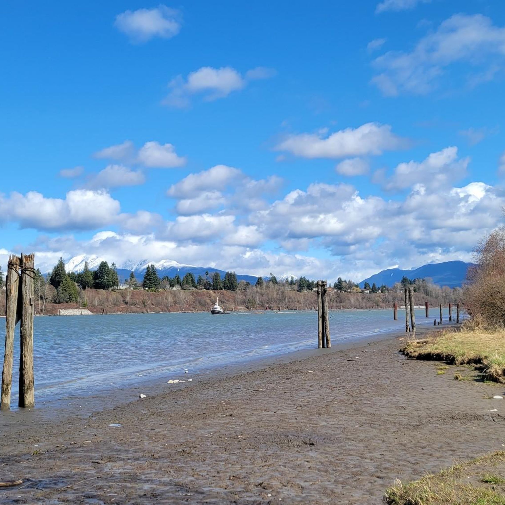
Derby Reach stretches along a calm bend of the Fraser River, where open fields, quiet forests, and wide riverside trails make for easy wandering. You'll find a mix of flat shoreline paths and the hillier Houston Trail loop with some multi-use trails open to hikers, joggers, cyclists, and even horseback riders. A large campground sits right at the water’s edge, with picnic shelters, washrooms, drinking water, and plenty of space to settle in for the night. Dogs are welcome on‑leash throughout most of the park, with a large off‑leash zone near Edgewater Bar. In short, you'll find that Derby Reach delivers a peaceful break with all the essentials close at hand.
0
0
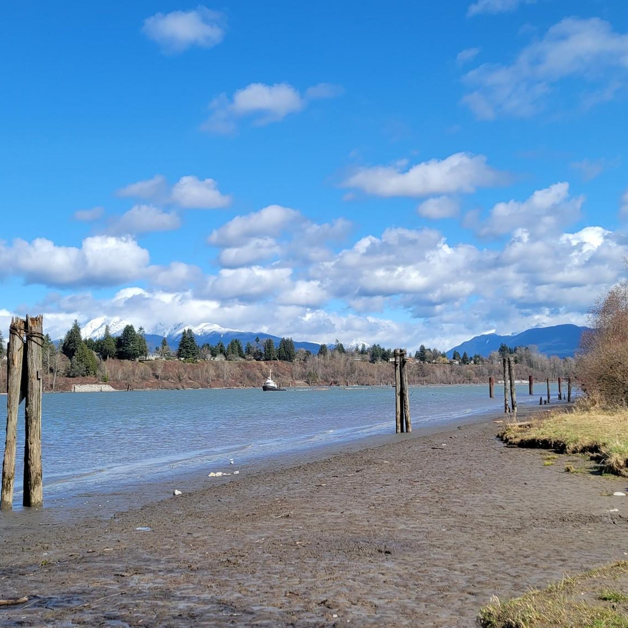
The Canyon to Coast trail runs for 550 kilometers between Hope and the Salish Sea. This particular section follows the Fraser River through parkland, nature reserve and historic sites as it nears its end at the sea.
0
0


lived here: Wilfred John “Winky” Muench (b. 1899) married Emma Elizabeth Trattle (née Wright), a nurse and midwife in Fort Langley. Together, they raised a blended family of seven children and two step‑sons. Emma originally arrived in Langley in 1911 and worked locally before first marrying Alfred Trattle, who died in World War I
1
0
Marks the first telegraph system in western Canada, in 1865 by the Collins Overland Telegraph with Western Union and the California State Telegraph Company), to link North America to Europe via Alaska and Siberia
1
0
Dedicated in 2019 by the City of Port Coquitlam in recognition of Michael Forrest's contributions to the community and his service on City Council from 2000 to 2018 A third generation Fort Coquitlam resident, Michael has "cherished this view of the Fraser River his whole life, The rivers that were his playground as a child became his workplace as an -lt. Michael continues to be active in the community and can be seen regularly on the water,
0
0
The Golden Ears Greenway, located in Surrey, BC, near Langley, is a 4-km (2.7-mile) paved, multi-use trail ideal for walking, cycling, and rollerblading. Rated as easy with minimal elevation gain, it takes about 13–30 minutes to complete. This white-coded path runs along a BC Hydro right-of-way, connecting Fraser Heights to the Golden Ears Bridge and Tynehead Regional Park.
0
0
The Tynehead Bridge, also known as the Tynehead Pedestrian Overpass, is a key feature of Surrey’s Greenway Network in Surrey, BC, near Langley. This illuminated pedestrian and bicycle bridge crosses Highway 1 at 168th Street, connecting Fraser Heights to Tynehead Regional Park. Completed in 2011 by HRC Construction for $5.1 million, it features a light-based artwork by John Webber, “Seasons in the Park,” which changes colors with seasons and events, enhancing its aesthetic appeal at night. The 4-meter-wide, 5.6-km-long paved bridge supports walking, cycling, rollerblading, skateboarding, and wheelchair access, linking to the park’s trails, Serpentine Fields, and a 2.5-hectare dog off-leash area. It’s a vital link for accessing the park’s nature trails, salmon hatchery, and picnic areas.
0
0
Frequently Asked Questions
How many touring cycling routes are available in Langley?
Langley offers a variety of touring cycling routes, with 19 distinct routes available on komoot. These routes cater to different skill levels, including 10 easy and 9 moderate options, ensuring there's something for everyone.
What kind of terrain can I expect on touring cycling routes in Langley?
Langley's touring cycling routes feature diverse terrain, from scenic riverfront paths along the Nicomekl and Fraser Rivers to quiet country roads, lush forests, and open fields. You'll find dedicated greenways and protected bike lanes in urban areas. The routes generally have gentle gradients, though some, like the Port Mann Bridge – Pitt River Bridge loop, include moderate elevation changes.
Are there any family-friendly touring cycling routes in Langley?
Yes, Langley offers several family-friendly options. Many of the 10 easy routes are suitable for families. The Fort-to-Fort Trail – Planet Java Fifties Diner loop from Fort Langley National Historic Site is an excellent choice, providing a relatively flat and scenic ride that passes by historic landmarks and is easily accessible.
Can I find circular touring cycling routes in Langley?
Absolutely. Many of Langley's touring cycling routes are designed as loops, allowing you to start and end at the same point. Popular examples include the Fort-to-Fort Trail – Derby Reach Regional Park loop from Walnut Grove and the Telegraph Trail, Langley – Derby Reach Regional Park loop, both offering varied scenery and convenient circular paths.
What are some notable landmarks or natural features I can see along the touring cycling routes?
Langley's routes offer a blend of natural beauty and historical sites. You can cycle along the majestic Fraser River, explore the Nicomekl Floodplain, and pass through lush forests and open fields, especially within Campbell Valley Park. Historic sites like the Fort Langley National Historic Site are often incorporated into routes. Highlights you might encounter include the Fort-to-Fort Trail itself, the Tynehead Pedestrian Overpass, and the White Rock Pier and Waterfront.
Are there options for beginner touring cyclists in Langley?
Yes, Langley is very welcoming for beginners. There are 10 easy touring cycling routes available, many of which are relatively flat and follow dedicated paths or quiet country roads. These routes are perfect for those new to touring cycling or looking for a relaxed ride.
What do other touring cyclists enjoy most about cycling in Langley?
The komoot community highly rates touring cycling in Langley, with an average score of 4.5 stars from over 150 reviews. Cyclists frequently praise the diverse landscapes, from scenic riverfront paths to quiet country roads, and the well-maintained multi-use trails. The blend of natural beauty and accessible routes makes it a popular choice.
Where can I park when accessing touring cycling routes in Langley?
Parking is available at various access points for touring cycling routes. For routes like the Fort-to-Fort Trail, you can often find parking near key attractions such as the Fort Langley National Historic Site or Derby Reach Regional Park. Community-specific cycling maps for areas like Aldergrove, Fort Langley, and Walnut Grove can also provide details on parking locations.
Is public transport available to reach cycling routes in Langley?
Langley has public transportation options that can help you access various parts of the region. While direct access to every trailhead might vary, local bus services connect different communities within Langley, including areas near popular cycling routes. Planning your route with local transit schedules is recommended.
Are there bike rental options in Langley?
Yes, if you don't have your own bicycle, you can rent E-Bikes in Langley City. This provides a convenient way to explore the city's outdoor spaces and trails, making touring cycling accessible to visitors.
What is the best time of year to go touring cycling in Langley?
Langley offers enjoyable touring cycling experiences throughout much of the year. Spring and fall provide pleasant temperatures and beautiful scenery, with lush greenery or vibrant autumn colors. Summer is also popular, though it can be warmer. Even in winter, some trails remain open, but it's advisable to check local conditions and dress appropriately for cooler, potentially wetter weather.
Are there any cafes or places to stop for refreshments along the touring cycling routes?
Yes, Langley's routes often pass through or near communities where you can find cafes, pubs, and other refreshment stops. Historic Fort Langley village, for example, is highly walkable and offers various dining options. There are also opportunities for self-guided brewery bike tours using local bike lanes and quieter streets to connect several craft breweries.
Most popular attractions around Langley

Get inspired with the komoot mobile app


Explore more
Browse the best Cycling routes in other regions.
