The best running trails around Area E (Chilliwack River Valley)
4.9
(42)
384
runners
30
runs
Jogging routes Chilliwack River Valley Area E offer a diverse range of landscapes, from low valleys and lush rounded mountains to rushing creeks and expansive lakes. The region is characterized by its rich hydrological network, including the Chilliwack River and several beautiful lakes, providing varied terrain for running. Old-growth forests with cedars, firs, and maples are common, alongside subalpine and alpine ridges at higher elevations. This area provides numerous trails and paths suitable for different jogging preferences.
Best jogging routes around Area E (Chilliwack River Valley)
- The most popular jogging route is Blue Heron Reserve loop from Bridlewood Park, a 12.0 miles (19.4 km) trail that takes 2 hours 0 minutes to complete. This route offers a challenging run through varied terrain.
- Another top favourite among local runners is Blue Heron Reserve loop from Chilliwack River Conservation Area, a difficult 13.7 miles (22.1 km) path. This route provides extensive views along the river and through natural reserves.
- Local runners also love the McFadden Pond – Peach Creek Spawning Channels loop from Monte Vista Dr at Villa Rosa Pl (EB), a 6.3 miles (10.2 km) trail leading through river conservation areas and spawning channels, often completed in about 1 hour 4 minutes.
- Jogging around Area E (Chilliwack River Valley) is defined by river valleys, old-growth forests, and rounded mountains. The network offers options for different ability levels, from easy riverside paths to more challenging routes with elevation gains.
- The routes in Area E (Chilliwack River Valley) are highly rated by the komoot community with an average score of 4.9 stars from over 40 reviews. More than 400 runners have used komoot to explore Area E (Chilliwack River Valley)'s varied terrain.
Last updated: July 18, 2026
4.0
(2)
31
runners
Moderate run. Good fitness required. Mostly paved surfaces. Suitable for all skill levels.
20
runners
26.0km
03:23
850m
850m
Hard run. Very good fitness required. Mostly paved surfaces. Suitable for all skill levels.

Sign up for free
18
runners
9.84km
01:27
510m
510m
Hard run. Very good fitness required. Mostly paved surfaces. Suitable for all skill levels.
5.0
(1)
19
runners
7.21km
00:59
300m
300m
Moderate run. Good fitness required. Mostly paved surfaces. Suitable for all skill levels.
18
runners
Moderate run. Good fitness required. Mostly paved surfaces. Suitable for all skill levels.
Get access to more routes and recommendations from other explorers.
Sign up for free
Already have an account?
Our route recommendations are based on thousands of hikes, rides, and runs completed by other people on komoot.
Start today with a free account
Your next adventure awaits.
Login or Signup
Popular around Area E (Chilliwack River Valley)

Forests, desert, wilderness - day tours in British Columbia
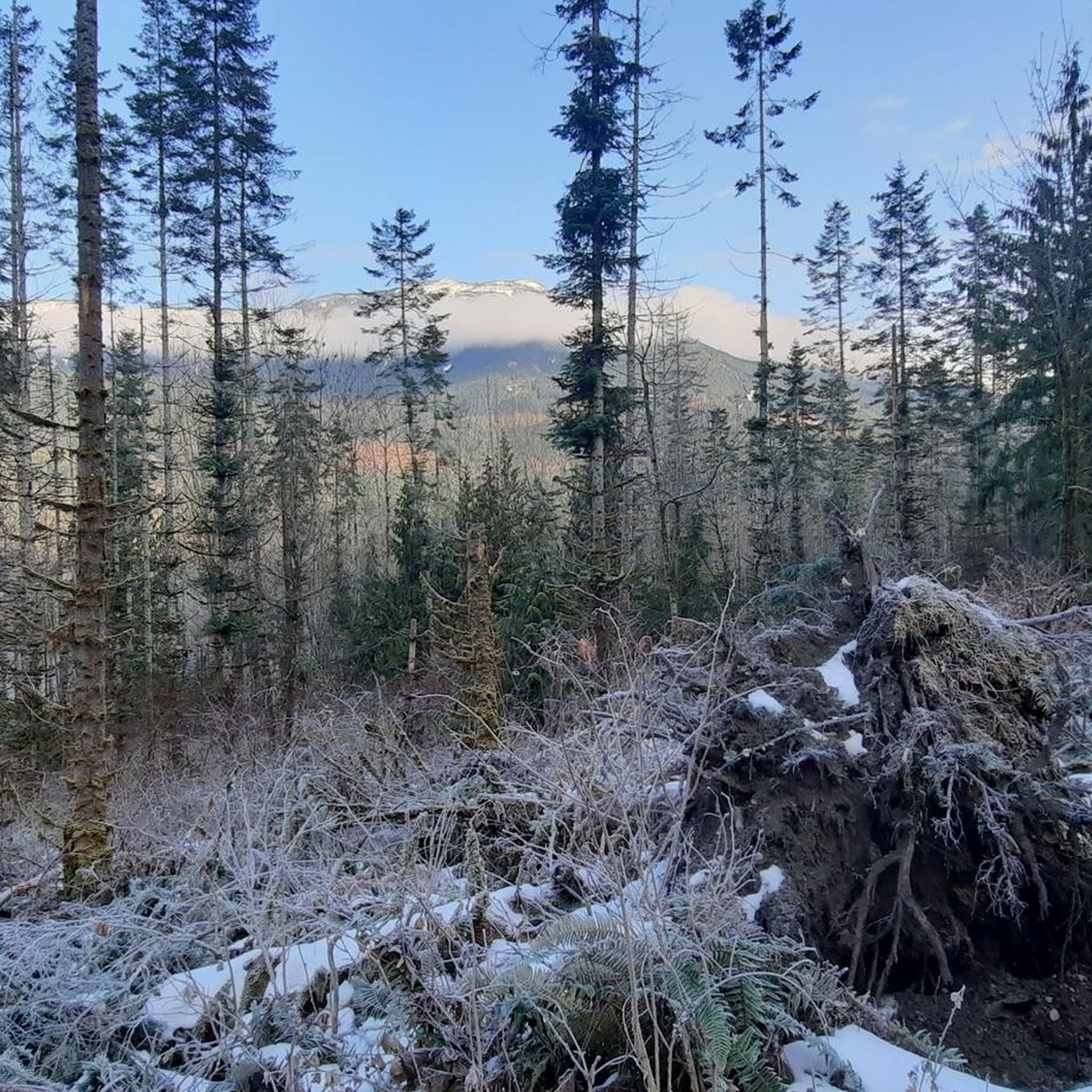
Hiking around Area E (Chilliwack River Valley)
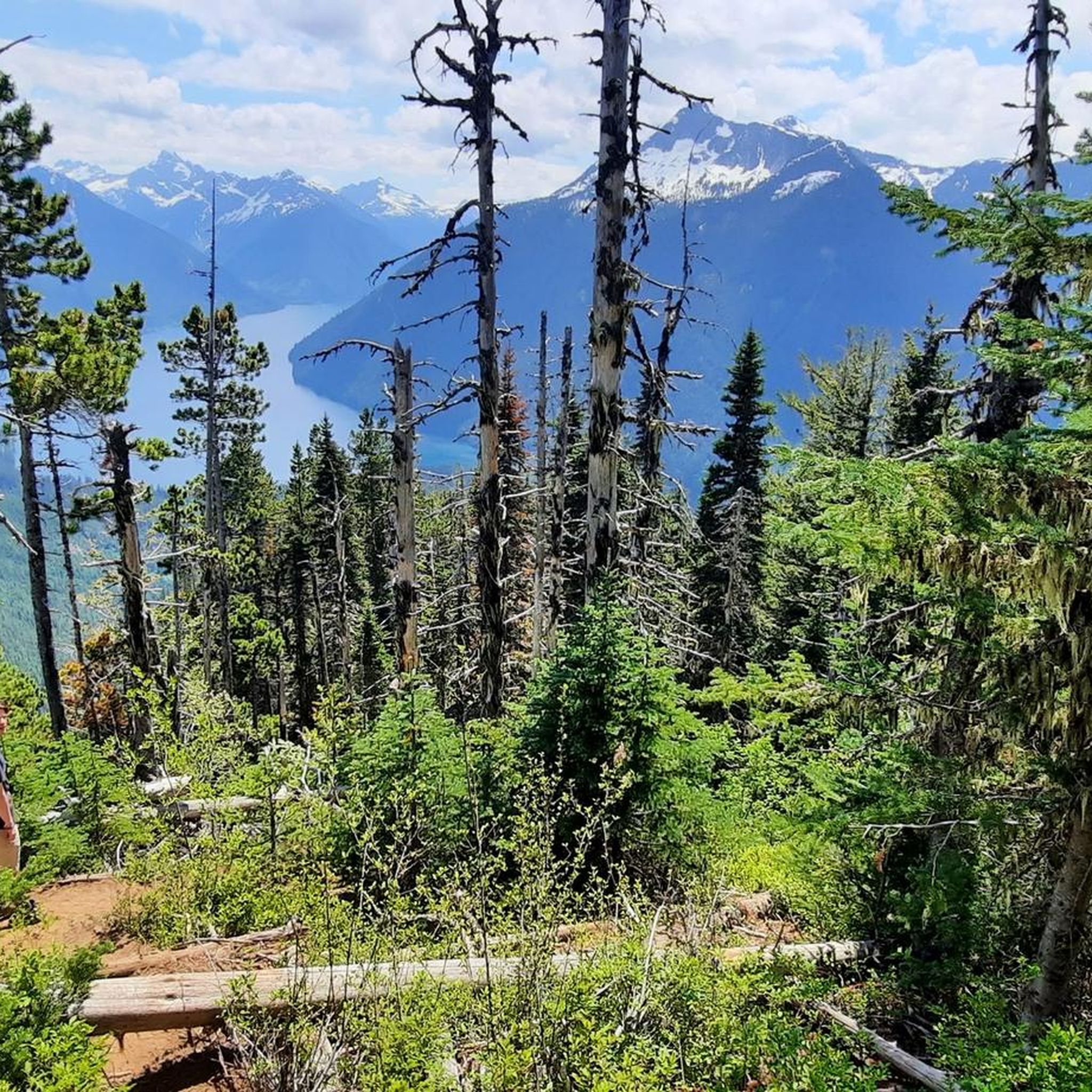
Cycling around Area E (Chilliwack River Valley)
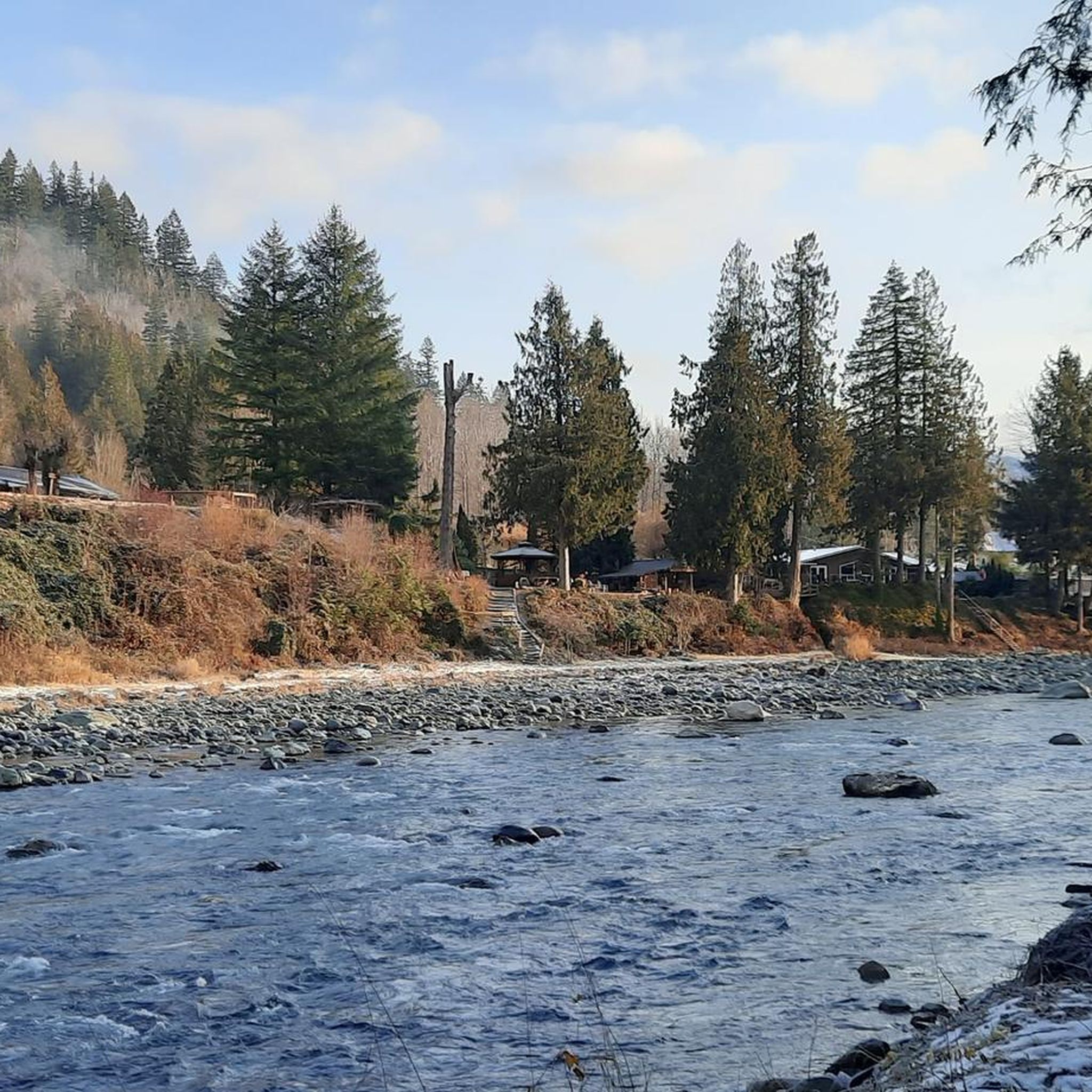
Road Cycling Routes around Area E (Chilliwack River Valley)
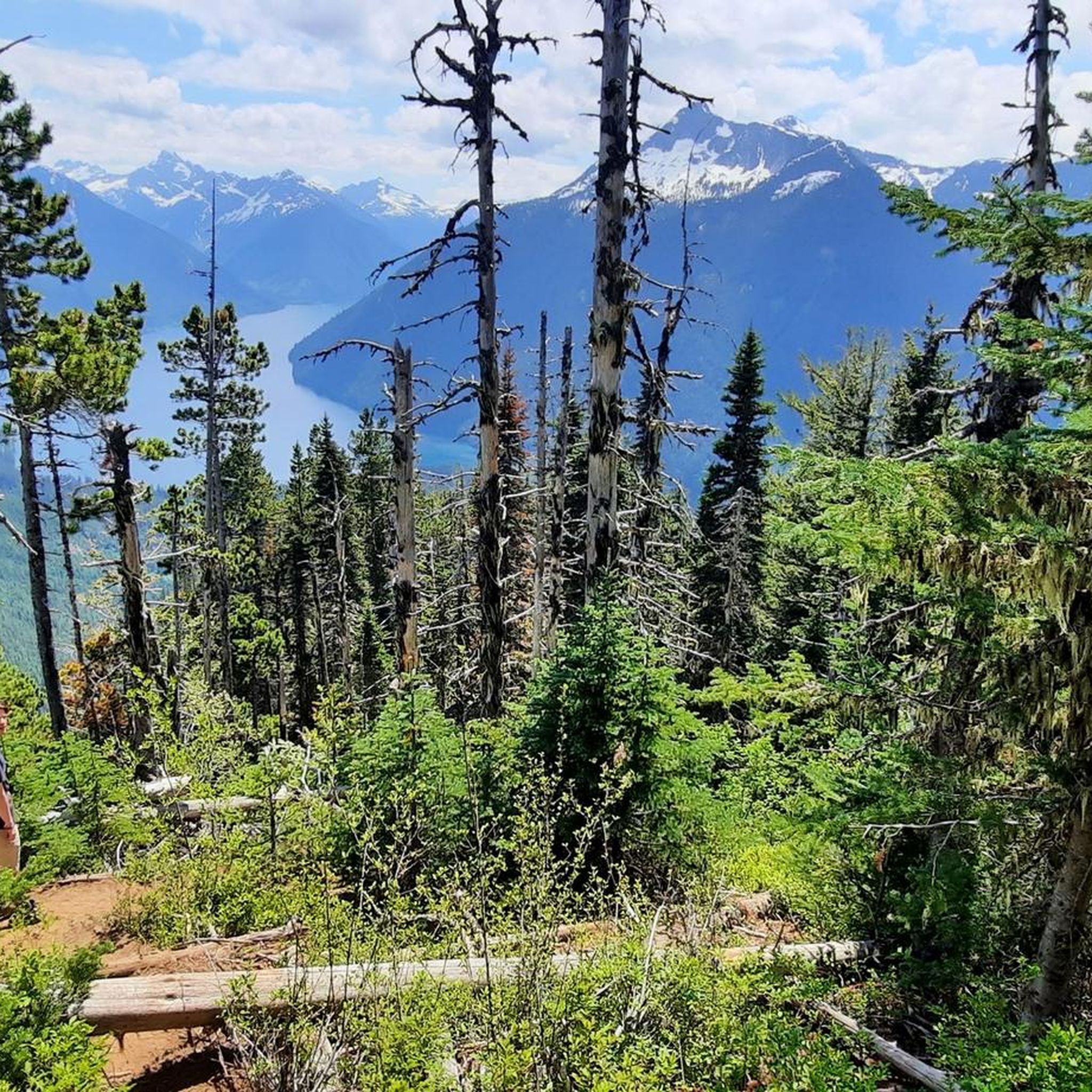
MTB Trails around Area E (Chilliwack River Valley)
Gravel biking around Area E (Chilliwack River Valley)
Other adventures around Area E (Chilliwack River Valley)

Tips from the Community

The Seven Sisters Trees are a cluster of ancient Douglas firs, once seven in number, now three remain. These towering giants, some over 3 meters in diameter, are among the oldest trees in the park and were spared during early logging. There is a short interpretive trail that leads to their base, where you can walk among the trunks and imagine the full grove as it once was.
0
0
This trail is a short, easy loop that links Entrance Bay and Clear Creek campgrounds, winding through lush second-growth forest and occasional views of the lake through moss-covered cedar trees. It’s an ideal path for families or a great way to stretch your legs for a quiet moment in the woods while spending a weekend enjoying Cultus Lake.
0
0
Cultus Lake Park is a popular year-round destination tucked into the Fraser Valley, known for its warm freshwater lake, sandy beaches, and forested mountain backdrop. Just 90 minutes from Vancouver, there are four campgrounds, a large day-use beach, and easy access to hiking trails, paddling spots, and nearby attractions like the waterpark and adventure park.
0
0

Cultus Lake Provincial Park (https://bcparks.ca/cultus-lake-park/) provides opportunities for recreational activities such as camping, picnicking, hiking, boating, and fishing. Food and firewood are available at small stores nearby. There is also golfing and a popular summer water park near the entrance to the provincial park.
0
0
Frequently Asked Questions
How many running routes are available in Area E (Chilliwack River Valley)?
There are over 30 running routes available in Area E (Chilliwack River Valley), offering a diverse range of landscapes from low valleys to lush rounded mountains and rushing creeks. These routes cater to various fitness levels, from moderate riverside paths to more challenging trails with significant elevation gains.
What kind of terrain can I expect on jogging trails in the Chilliwack River Valley?
Jogging trails in the Chilliwack River Valley feature a mix of terrain. You'll find riverside paths along the Chilliwack and Vedder Rivers, trails through old-growth forests with cedars and firs, and routes that ascend into subalpine and alpine ridges. The region is known for its low valleys, lush rounded mountains, and picturesque natural features.
Are there any easy or family-friendly running routes in Area E?
Yes, while many routes are moderate to difficult, there are options suitable for easier runs. The McFadden Pond – Peach Creek Spawning Channels loop is a moderate 10.2 km trail that takes you through river conservation areas. The Chilliwack Community Forest also offers multi-use trails like Pitxel and Cholqthet, with gentle grades suitable for families.
What natural landmarks or attractions can I see while running in the Chilliwack River Valley?
The region is rich in natural beauty. You can encounter spectacular sights like Bridal Veil Falls, which cascades 60 meters down a rock face. Many routes also pass by beautiful lakes such as Lindeman Lake and Greendrop Lake, or through the Bridal Veil Falls Provincial Park with its dense old forest.
Are there any running routes that offer opportunities for birdwatching?
Absolutely. The Blue Heron Reserve loop from Chilliwack River Conservation Area is an excellent choice. This area, particularly the Great Blue Heron Nature Reserve, is a protected wetland and a haven for birdwatchers, boasting one of the largest heron nesting colonies in the region and a wide variety of other bird species.
What do other runners say about the trails in Area E (Chilliwack River Valley)?
The running routes in Area E (Chilliwack River Valley) are highly rated by the komoot community, with an average score of 4.9 stars from over 40 reviews. Runners often praise the diverse terrain, the stunning natural beauty, and the well-maintained paths that offer both challenging runs and scenic exploration.
Are there any circular running routes in the Chilliwack River Valley?
Yes, many routes in the area are designed as loops, providing a varied experience without retracing your steps. For example, the Blue Heron Reserve loop from Bridlewood Park offers a challenging 19.4 km circular run through diverse landscapes.
Can I find challenging running routes with significant elevation gain in this region?
Yes, for those seeking a more strenuous workout, Area E offers several difficult routes with notable elevation gains. The Cultus Lake Park – Seven Sisters Trees loop from Cultus Lake, for instance, is a difficult 25.7 km route with over 800 meters of ascent, providing a substantial challenge.
Are there any trails that pass by lakes suitable for water activities after a run?
Yes, the region features several beautiful lakes. Chilliwack Lake Provincial Park offers a valley-bottom lake suitable for various water activities. While the Cultus Lake Park – Seven Sisters Trees loop is a challenging run, it starts and ends near Cultus Lake, which is a popular spot for recreation.
Where can I find more information about outdoor adventures in Chilliwack, beyond just jogging?
For a broader overview of outdoor activities and adventures in the Chilliwack area, you can visit the local tourism website: tourismchilliwack.com. They offer resources on various outdoor pursuits in the region.
What is the best time of year to go jogging in Area E (Chilliwack River Valley)?
The Chilliwack River Valley is enjoyable for jogging year-round, but spring and fall offer particularly pleasant conditions with milder temperatures and vibrant scenery. Summer is also popular, though some trails might be warmer. Winter jogging is possible, especially on lower elevation trails, but be prepared for potentially wet or snowy conditions.
Most popular routes around Area E (Chilliwack River Valley)
Most popular attractions around Area E (Chilliwack River Valley)

Get inspired with the komoot mobile app


Explore more
Browse the best Running Trails & Routes in other regions.
