The best cycling routes around Area E (Chilliwack River Valley)
5.0
(9)
144
riders
18
rides
Touring cycling around Area E (Chilliwack River Valley) offers diverse landscapes within the North Cascade mountains, characterized by low valleys and rounded mountains. The region features a mix of paved surfaces and mixed-surface routes, including gravel sections. Natural features like the Chilliwack River and various provincial parks contribute to the varied terrain. This area provides options for both easy rides and routes with significant elevation gains.
Best touring cycling routes around Area E (Chilliwack River Valley)
- The most popular touring cycling route is Chilliwack River loop from Chilliwack, an 18.2 miles (29.3 km) trail that takes 1 hour 53 minutes to complete. This easy route follows the scenic Chilliwack River.
- Another top favourite among local touring cyclists is Gravel Pit – Sidekick Brewing loop from Wells Sanctuary Conservation Area, a moderate 16.3 miles (26.3 km) path. This route offers varied terrain, including gravel sections, and passes by local points of interest.
- Local touring cyclists also love the Waves Coffee loop from Chilliwack River Conservation Area, a 9.6 miles (15.5 km) trail leading through a conservation area, often completed in about 1 hour 17 minutes.
- Touring cycling around Area E (Chilliwack River Valley) is defined by river valleys, forested areas, and mountain foothills. The network offers options for different ability levels, from easy paved paths to more challenging routes with elevation.
- The routes in Area E (Chilliwack River Valley) are highly rated by the komoot community with an average score of 4.98 stars from over 22 reviews. More than 249 touring cyclists have used komoot to explore Area E (Chilliwack River Valley)'s varied terrain.
Last updated: August 15, 2026
5.0
(4)
22
riders
Moderate bike ride. Good fitness required. Mostly paved surfaces. Suitable for all skill levels.
24
riders
Easy bike ride. Great for any fitness level. Mostly paved surfaces. Suitable for all skill levels.

Sign up for free
5.0
(3)
13
riders
29.3km
01:53
20m
20m
Easy bike ride. Great for any fitness level. Mostly paved surfaces. Suitable for all skill levels.
14
riders
72.9km
06:28
1,230m
1,230m
Hard bike ride. Very good fitness required. Mostly paved surfaces. Suitable for all skill levels.
6
riders
Hard bike ride. Very good fitness required. Mostly paved surfaces. Suitable for all skill levels.
Get access to more routes and recommendations from other explorers.
Sign up for free
Already have an account?
Our route recommendations are based on thousands of hikes, rides, and runs completed by other people on komoot.
Start today with a free account
Your next adventure awaits.
Login or Signup
Popular around Area E (Chilliwack River Valley)

Forests, desert, wilderness - day tours in British Columbia
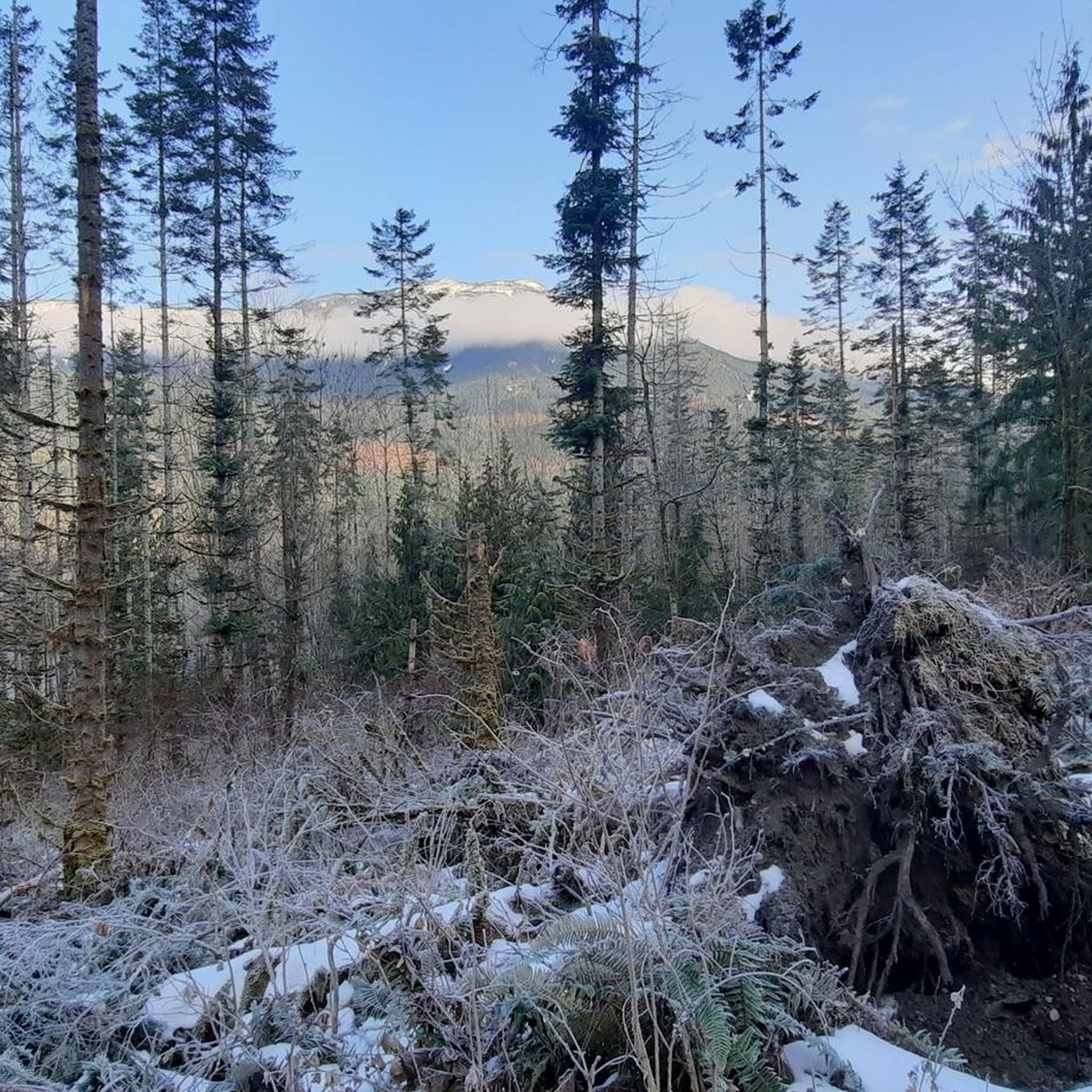
Hiking around Area E (Chilliwack River Valley)
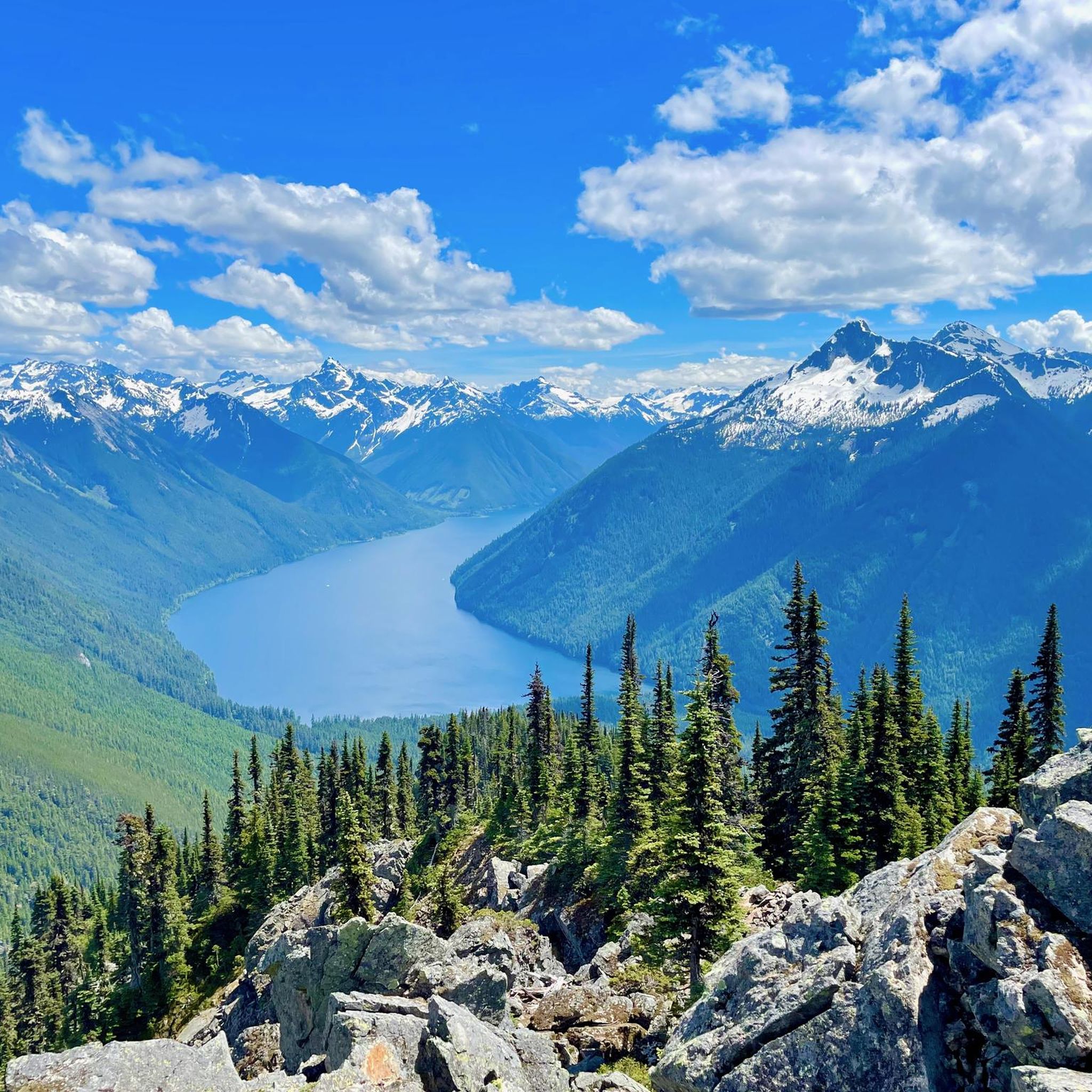
Running Trails around Area E (Chilliwack River Valley)
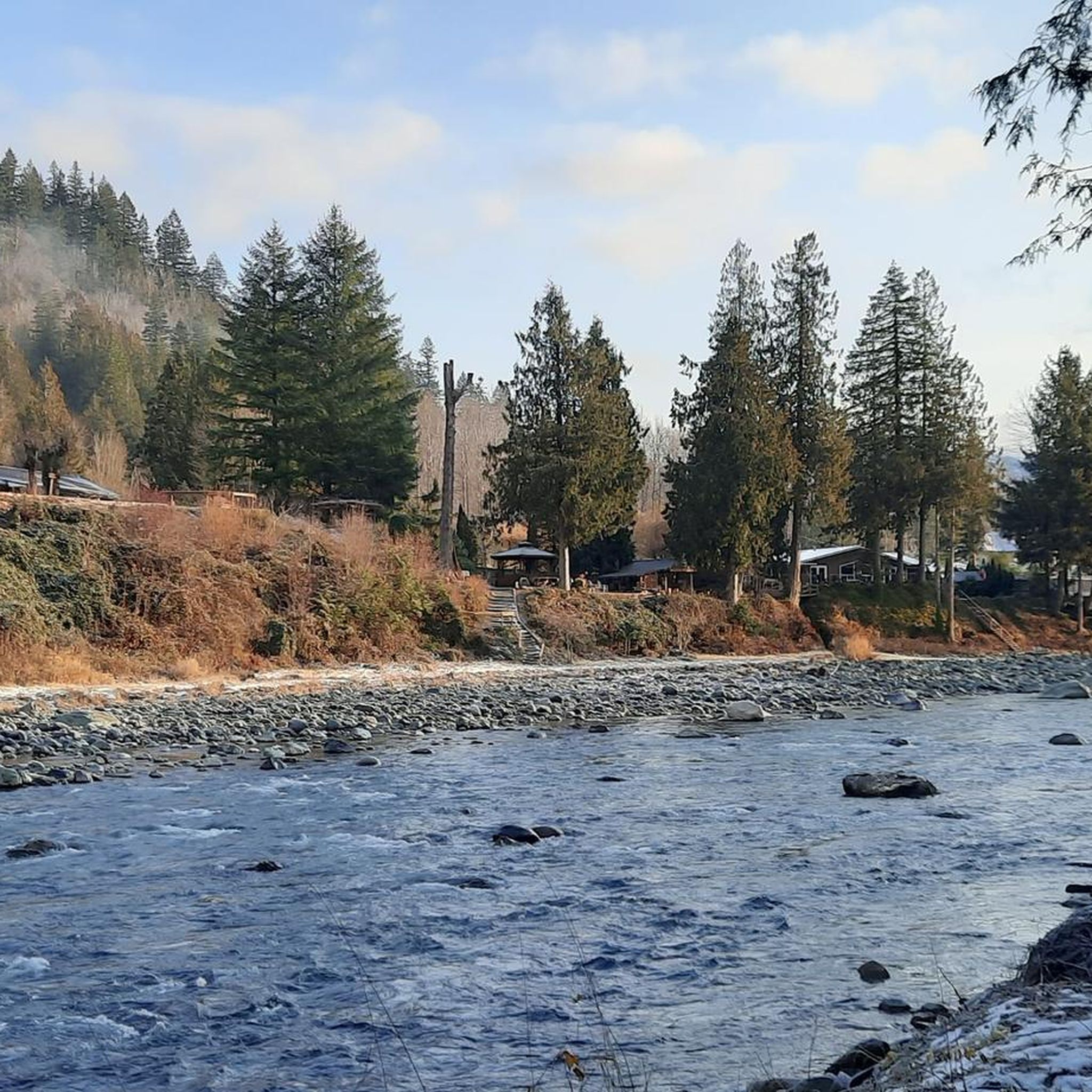
Road Cycling Routes around Area E (Chilliwack River Valley)
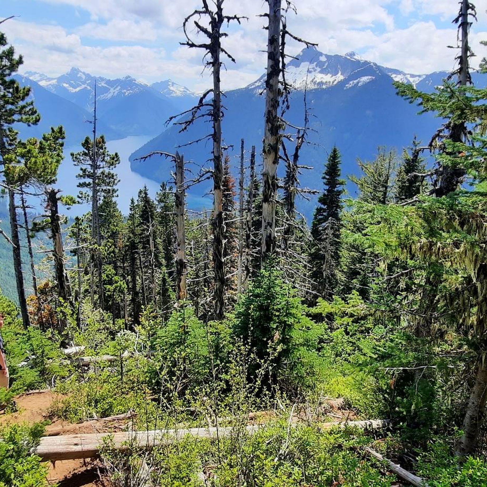
MTB Trails around Area E (Chilliwack River Valley)
Gravel biking around Area E (Chilliwack River Valley)
Other adventures around Area E (Chilliwack River Valley)

Tips from the Community

Chilliwack Lake is a long, glacier-fed lake with a deep turquoise colour and gravel beaches. Sitting in the Coast Mountains, the lake is encompassed by damp woods and is open for camping, paddling, and, if you're brave enough for the cold, a polar plunge. Weather can change quickly here, so come prepared for rain or sun or even wind.
0
0
Browne Creek Wetlands is a small, protected marsh and riparian habitat along Browne Creek. The area is key in filtering water and is easy to explore via a network of flat gravel paths and wooden boardwalks. Visitors come here for birdwatching, strolling, running, or biking.
0
0
The Vedder River flows along the southern edge of Chilliwack, beginning at Cultus Lake and running northwest until it joins the Fraser River. The river is famous for salmon fishing during fall salmon runs. Besides fishing, visitors like to swim, tube, kayak, and raft.
0
0
Where Chipmunk Creek Forest Service Road and Chilliwack Lake Road meet, there is a pullout with yellow gates. Here, look for parking signs. Once parked, walk down Chipmunk Creek Forest Service Road to access the Iron Curtain Cave Recreation Reserve.
0
0

This is the trailhead to several stunning destinations. The shortest is Lindeman Lake which is just 1.7 kilometers from here. Continue along the trail to get to Greendrop Lake which is six kilometers from the trailhead. For a challenging loop, you can hike all the way up to Flora Lake. Either way, it is a great adventure to start from here.
2
0

A nice midpoint to stop for a coffee, they have outdoor tables and a place to lock up your bike.
0
0


I did the loop on July 9/10. Still lots of snow around the summit. Camp pads at Flora Lake are pretty limited (2 of which one is broken). Other level surface is limited too, but enough space for hammocks. Parking lot is notorious for break-ins. Lindeman Lake is quite popular, so you may end up parking on the road, if you start later in the day. Very nice hike, you are never really alone, clear trail bed and very well marked.
0
0
Frequently Asked Questions
Are there touring cycling routes for all skill levels in Area E (Chilliwack River Valley)?
Yes, the Chilliwack River Valley offers a diverse range of touring cycling routes suitable for various skill levels. You'll find easy, mostly paved paths perfect for beginners and families, as well as more challenging routes with significant elevation gains for experienced cyclists. For example, the Waves Coffee loop from Chilliwack River Conservation Area is an easy option, while the Chipmunk Caves – Steady Uphill on Gravel Road loop from Cultus Lake presents a difficult challenge with over 1200 meters of elevation gain.
How many touring cycling routes are available in Area E (Chilliwack River Valley)?
There are over 19 touring cycling routes recorded in Area E (Chilliwack River Valley) on komoot, offering a wide selection for exploration. These routes are highly rated by the komoot community, with an average score of 4.98 stars from over 22 reviews.
What kind of terrain can I expect on touring cycling routes in the Chilliwack River Valley?
The Chilliwack River Valley features a varied landscape for touring cyclists. You can expect a mix of paved surfaces, ideal for smooth rides, and mixed-surface routes that include gravel sections. The region is characterized by low valleys, lush, rounded mountains, and river floodplains, offering diverse scenery from forested areas to open river views.
Are there any challenging touring cycling routes with significant elevation in Area E?
Yes, for cyclists seeking a challenge, Area E offers routes with significant elevation gains. The Chipmunk Caves – Steady Uphill on Gravel Road loop from Cultus Lake is a notable difficult route, featuring over 1200 meters of ascent over 73 kilometers. Some sections, particularly around Vedder Mountain, can be steep and technical, catering to those with very good fitness.
Are there family-friendly touring cycling routes in the Chilliwack River Valley?
Absolutely. The Chilliwack River Valley is home to several family-friendly options. The Vedder Rotary Loop, for instance, is an easy 21 km trail along the Vedder River, offering scenic views and accessibility for all skill levels, including families. The Valley Rail Trail is another easy, paved 2.3 km path, safely connecting areas across the Trans-Canada Highway.
What natural attractions can I see along the touring cycling routes in Area E?
Area E is rich in natural attractions that enhance the cycling experience. You can visit the stunning Bridal Veil Falls in Bridal Veil Falls Provincial Park, known for its veil-like appearance. Other highlights include the picturesque Lindeman Lake and Greendrop Lake, accessible via trailheads, offering peaceful alpine settings. The Chilliwack River itself is a significant feature, popular for its salmon and trout species.
Are there any waterfalls accessible from touring cycling routes in the Chilliwack River Valley?
Yes, the most prominent waterfall in the area is Bridal Veil Falls, located within Bridal Veil Falls Provincial Park. This 60-meter high waterfall cascades down a smooth rock face, creating a beautiful 'veil-like' effect. You can often combine a visit to the falls with a cycling route in the vicinity.
Are there touring cycling routes that are loops in Area E?
Yes, many touring cycling routes in Area E are designed as loops, allowing you to start and end at the same point. Examples include the Gravel Pit – Sidekick Brewing loop from Wells Sanctuary Conservation Area, the Mighty Moose Ice Cream loop from Wells Sanctuary Conservation Area, and the Waves Coffee loop from Chilliwack River Conservation Area.
What is the best time of year for touring cycling in the Chilliwack River Valley?
The Chilliwack River Valley is generally best for touring cycling during the warmer months, typically from spring through fall, when trails are clear of snow and weather conditions are most favorable. This allows for comfortable exploration of both paved and mixed-surface routes. Always check local weather forecasts before heading out.
Where can I find parking for touring cycling routes in Area E?
Parking is generally available at various access points for touring cycling routes in Area E. For specific routes, you can often find parking near trailheads or designated recreational areas. For example, routes like the Gravel Pit – Sidekick Brewing loop and the Mighty Moose Ice Cream loop start from Wells Sanctuary Conservation Area, which typically offers parking facilities.
Are there any bike shops or services available in the Chilliwack River Valley?
Yes, the Chilliwack River Valley provides practical amenities for cyclists. You can find bike shops in the area that offer gear, rentals, and repair services. There are also pump tracks available for practicing skills, making it a well-equipped destination for touring cyclists.
What do other touring cyclists enjoy the most about touring cycling in Area E (Chilliwack River Valley)?
The touring cycling routes in Area E (Chilliwack River Valley) are highly rated by the komoot community, with an average score of 4.98 stars. Reviewers often praise the diverse landscapes, the mix of river valleys and forested areas, and the variety of routes catering to different abilities. The scenic beauty and well-maintained paths are frequently highlighted as key enjoyable aspects.
Most popular routes around Area E (Chilliwack River Valley)
Most popular attractions around Area E (Chilliwack River Valley)

Get inspired with the komoot mobile app


Explore more
Browse the best Cycling routes in other regions.
