The best cycling routes around Sunshine Coast Regional District
4.4
(7)
189
riders
9
rides
Touring cycling around Sunshine Coast Regional District offers diverse landscapes along a 180-kilometer coastline. The region features freshwater lakes, temperate rainforests, and mountain peaks, providing varied terrain for cyclists. Highway 101 spans over 170 kilometers, weaving through shoreline communities and coastal forests. This area is characterized by its blend of coastal scenery and lush inland environments.
Best touring cycling routes around Sunshine Coast Regional District
- The most popular touring cycling route is Scenic Tree-Lined Road – Pier in Sechelt loop…
Last updated: August 7, 2026
4.5
(2)
17
riders
Hard bike ride. Very good fitness required. Mostly paved surfaces. Suitable for all skill levels.
3.0
(1)
15
riders
10.1km
00:37
90m
90m
Easy bike ride. Great for any fitness level. Mostly paved surfaces. Suitable for all skill levels.

Sign up for free
7
riders
62.8km
05:35
1,160m
1,160m
Hard bike ride. Very good fitness required. You may need to push your bike for some segments of this route.
7
riders
13.9km
01:21
270m
270m
Moderate bike ride. Good fitness required. Mostly paved surfaces. Suitable for all skill levels.
5.0
(1)
7
riders
15.9km
00:58
140m
140m
Easy bike ride. Great for any fitness level. Mostly paved surfaces. Suitable for all skill levels.
Get access to more routes and recommendations from other explorers.
Sign up for free
Already have an account?
Our route recommendations are based on thousands of hikes, rides, and runs completed by other people on komoot.
Start today with a free account
Your next adventure awaits.
Login or Signup
Tips from the Community

You get continuous views of the gorge from along the trail, which is easy and continues at a mild incline. The north end of the trail ends at a scenic overlook to the rail bridge over Cheakamus River.
0
0

The Sea to Sky Trail stretches 107 km from Squamish to Pemberton, leading you along coastal rainforests, rivers, and lakes. The trail is popular with hikers and cyclists; the section from here up to Starvation Lake is a wide, smooth gravel path.
0
0
Starvation Lake is a small mountain lake nestled in a forest, offering framed views of the distant mountains. Due to its size, the lake warms quickly in the summertime, making it an excellent swimming destination. A recreation site is located on the north side of the lake, complemented by a few pocket beaches along the south shore.
0
0
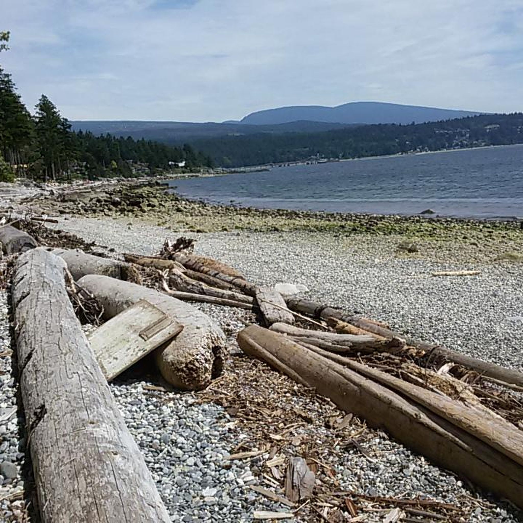
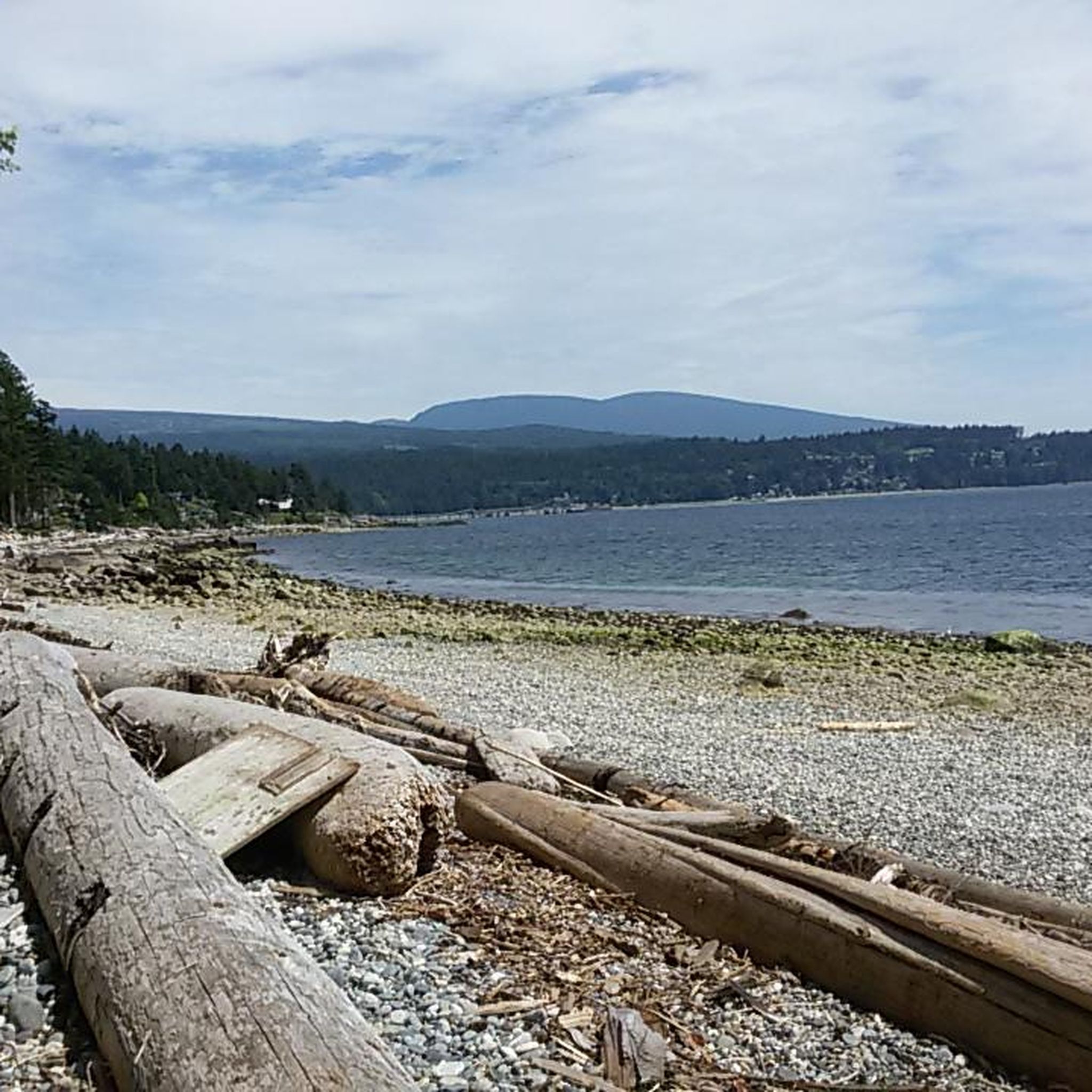
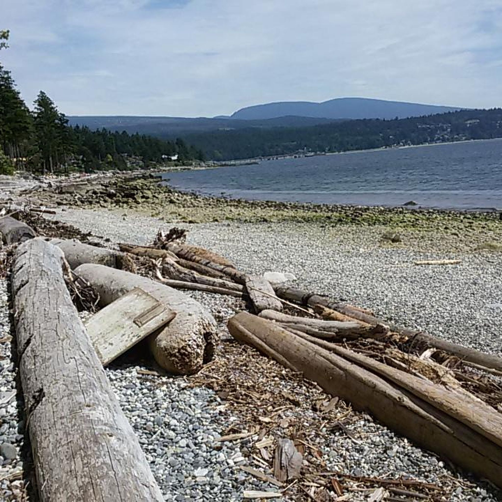
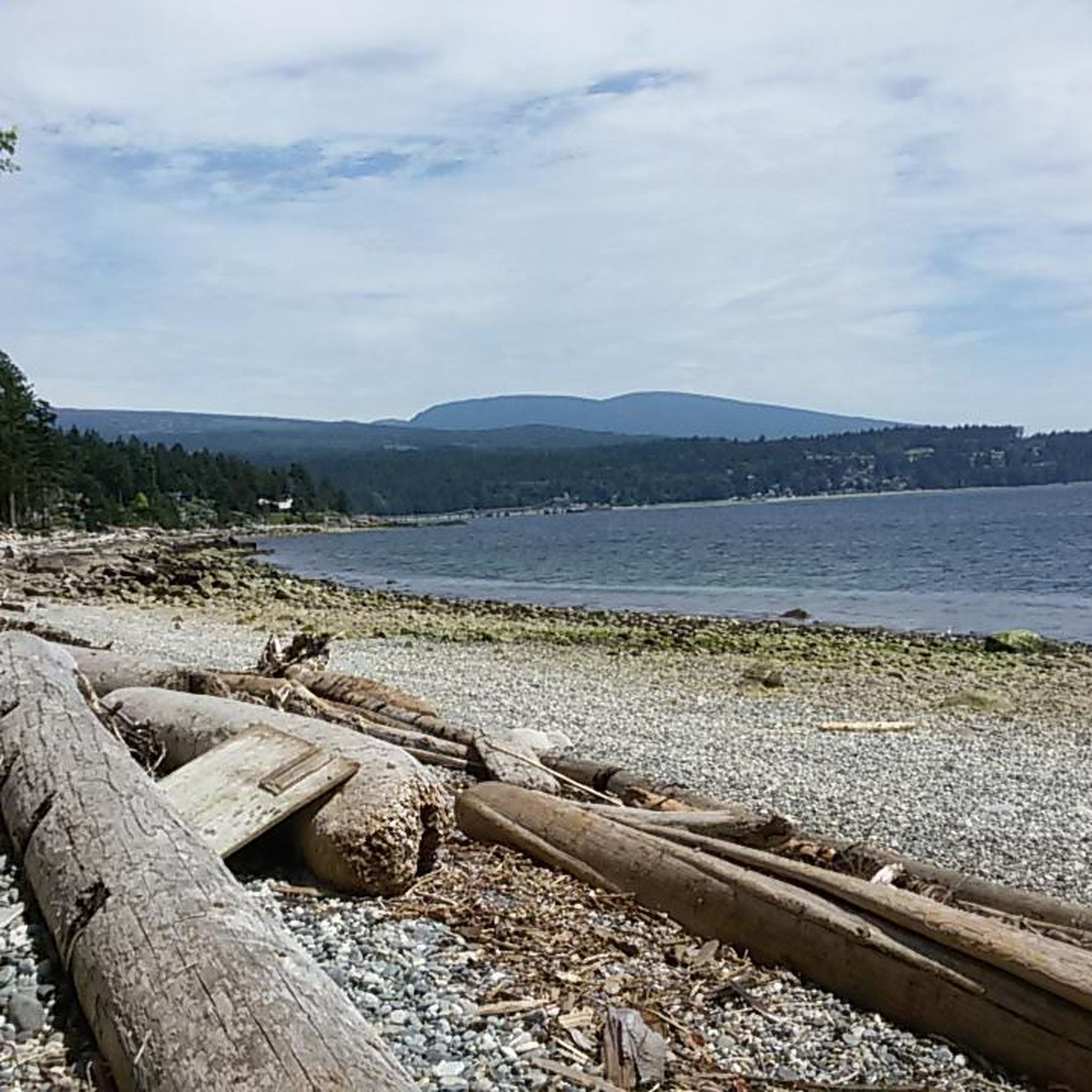
Bonniebrook Beach is a beautiful, rocky beach known for its incredible sunsets. The gentle waves make this a great spot to swim and explore the tide pools.
0
0

https://bcparks.ca/porpoise-bay-park/#camping Porpoise Bay Provincial Park is one of the few provincial parks that has a hiker/biker campground. It's one large grassy communal area for all, no reservations needed. The Porpoise Bay campground is conveniently located a short, flat bike ride from the town of Sechelt, where you can buy food. Also in town is Trail Bay Source for Sports, where you can buy camping supplies such as water filters and fuel for stoves. Outside of the mid-April to mid-October camping season, there is no fee, but also no services of any kind (no bathrooms, no running water, no garbage collection). You can fetch fresh water from Angus Creek, which is a short walk away.
0
0

15 dollars for cyclists with showers
0
0

Paradise Valley Campground Address: 3520 Paradise Valley Rd, Squamish, BC Phone: 604-898-1486 Email: info@paradisevalleycampground.net Web: http://paradisevalleycampground.net
0
0
There's road just before the bridge on your right (when Northbound) which leads to the Sunwolf Riverside Resort. Address: 70002 Squamish Valley Rd, Squamish, BC Phone: 1-877-806-8046 Email: sunwolf@sunwolf.net Web: http://www.sunwolf.net
1
0
Frequently Asked Questions
How many touring cycling routes are available in the Sunshine Coast Regional District?
The Sunshine Coast Regional District offers a variety of touring cycling routes, with over 10 options available on komoot. These routes cater to different skill levels, allowing cyclists to explore the diverse landscapes of the region.
What are the different difficulty levels for touring cycling routes in the Sunshine Coast Regional District?
The touring cycling routes in the Sunshine Coast Regional District range from easy to difficult. There are 2 easy routes, 4 moderate routes, and 7 difficult routes, ensuring options for various experience levels.
Are there any circular touring cycling routes in the Sunshine Coast Regional District?
Yes, many touring cycling routes in the Sunshine Coast Regional District are designed as loops. For example, the Scenic Tree-Lined Road – Pier in Sechelt loop from Harbour Way at Fairway (EB) is a popular difficult loop covering 36.9 miles (59.4 km), offering views of tree-lined roads and coastal areas. Another option is the Bike loop from Porpoise Bay Provincial Park, an easy 10.1 km (6.3 miles) route.
What natural attractions can I see while touring cycling in the Sunshine Coast Regional District?
The region is rich in natural beauty. You can encounter stunning coastal scenery, lush temperate rainforests, and mountain views. Specific highlights include the Bowen Lookout, offering sweeping views of Howe Sound and Bowen Island, and the serene Browning Lake and picnic area. The coastline itself presents classic ocean scenery and layered mountain ridges.
Are there any scenic viewpoints along the touring cycling routes?
Absolutely. The Sunshine Coast Regional District is known for its breathtaking vistas. You can find viewpoints like the Breathtaking Tunnel Bluffs lookout and Bowen Lookout, which provide stunning views of the Coast Mountains, Vancouver Island, and the Salish Sea. The coastline along Highway 101 also offers continuous scenic views.
Can I find any waterfalls or lakes along the touring cycling routes?
While the touring cycling routes themselves might not directly pass by major waterfalls, the region is home to numerous freshwater lakes and impressive waterfalls. You can find beautiful lakes like Browning Lake and Killarney Lake, which are excellent spots for a break. The fjord-like Princess Louisa Inlet, accessible nearby, boasts over 60 waterfalls, including the magnificent Chatterbox Falls.
Are there family-friendly touring cycling routes suitable for beginners?
Yes, there are easy touring cycling routes suitable for families and beginners. For instance, the Bike loop from Porpoise Bay Provincial Park is an easy 10.1 km (6.3 miles) route, perfect for a relaxed ride. The region's commitment to developing cycling infrastructure also includes paths that are generally accessible.
What is the best time of year to go touring cycling in the Sunshine Coast Regional District?
The Sunshine Coast Regional District is generally pleasant for touring cycling from spring through fall. The temperate climate allows for extended cycling seasons. However, checking local weather conditions and seasonal trail conditions is always recommended, especially for multi-day trips.
Are there places to park my car when accessing touring cycling routes?
Yes, many trailheads and communities along the Sunshine Coast offer parking options. For multi-day trips, roadside campgrounds like Roberts Creek Provincial Park and Porpoise Bay Provincial Park (which has a dedicated hiker/biker campground) often provide parking facilities. It's advisable to check specific parking availability for your chosen starting point.
What do other touring cyclists enjoy most about touring cycling in the Sunshine Coast Regional District?
The area is highly rated by the komoot community, with an average score of 4.4 stars from over 10 reviews. Reviewers often praise the diverse landscapes, from coastal views to lush forests, and the well-maintained routes that offer a rewarding cycling experience. The blend of challenging climbs and scenic stretches is frequently highlighted.
Can I find accommodation or campgrounds along the touring cycling routes?
Yes, the Sunshine Coast Regional District is well-equipped for multi-day cycling adventures. You can find accessible roadside campgrounds such as Roberts Creek Provincial Park, Porpoise Bay Provincial Park (with a dedicated hiker/biker campground), Creekside Campground in Sechelt, Kent's Beach Campsite, and Saltery Bay Provincial Park. Various communities also offer other accommodation options.
Are there any long-distance touring cycling options in the region?
Yes, the Sunshine Coast is integrated into the larger Coastal Circle Route, allowing for extended cycling adventures that can connect to Vancouver Island and Vancouver. The region's Highway 101 itself spans over 170 kilometers, providing a significant route for multi-day journeys through shoreline communities, inland lakes, and coastal forests.
What kind of scenery can I expect on a touring cycling route like the one from Langdale Ferry Terminal?
Routes starting from the Langdale Ferry Terminal, such as the Bonniebrook Beach – Pier in Sechelt loop, will take you through charming shoreline communities and past beautiful coastal features like Bonniebrook Beach. You can expect classic ocean scenery, views of islands, and layered mountain ridges, characteristic of the Sunshine Coast's diverse landscape.
Most popular routes around Sunshine Coast Regional District
Most popular attractions around Sunshine Coast Regional District

Get inspired with the komoot mobile app


Explore more
Browse the best Cycling routes in other regions.
