The best MTB trails around Sunshine Coast Regional District
4.3
(4)
226
riders
6
rides
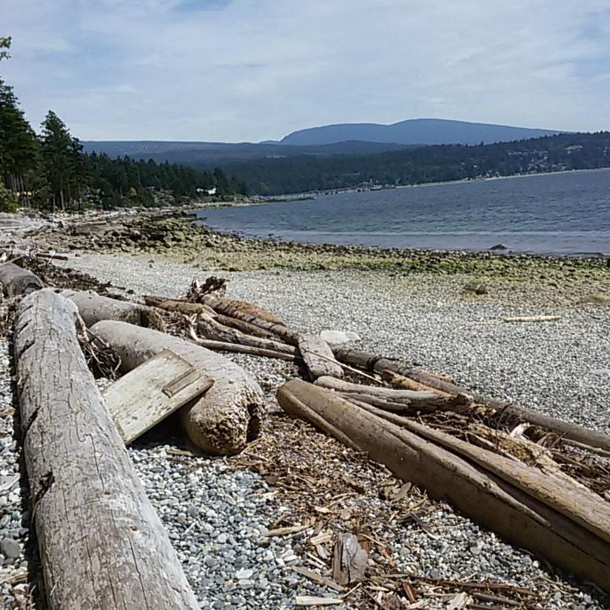
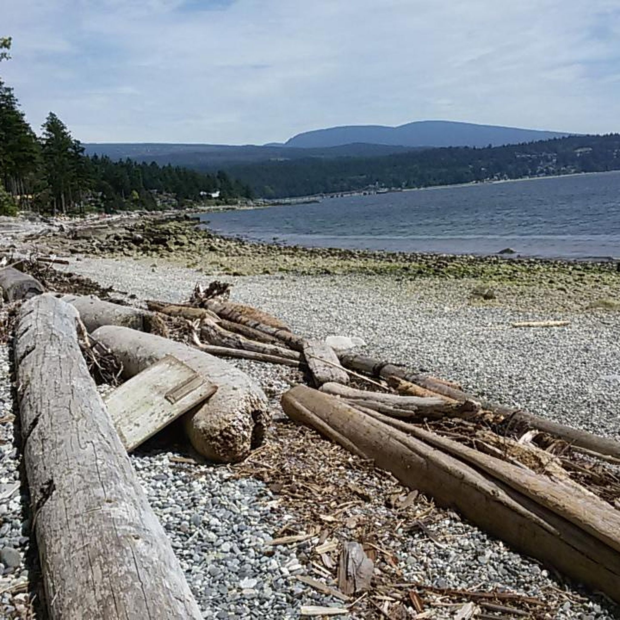
Mountain biking around Sunshine Coast Regional District offers diverse terrain, from rugged coastlines to dense rainforests and mountainous areas. The region features extensive trail networks through lush temperate rainforests and old-growth forests. Riders can expect a dynamic landscape characterized by a carpet of roots, rocks, and moss, providing varied experiences. This area is known for its natural features, including mountains, valleys, rivers, and coastal waters, making it a prime destination for outdoor enthusiasts.
Best mountain bike trails around Sunshine Coast Regional District
- The most popular mountain bike trail is Train Wrecks – Brandywine Falls loop from Squamish Airport, a 62.2 miles (100.1 km) trail that takes 8 hours 23 minutes to complete. This difficult route features significant elevation gain through varied terrain.
- Another top favourite among local mountain bikers is Porpoise Bay Provincial Park loop from Porpoise Bay Provincial Park, a moderate 6.5 miles (10.5 km) path. This trail winds through the scenic provincial park, offering views of the surrounding natural beauty.
- Local mountain bikers also love the Hueso – In and Out Burger loop from Sandman Hotel & Suites Squamish, an 8.2 miles (13.2 km) trail leading through forested areas, often completed in about 1 hour 4 minutes.
- Mountain biking around Sunshine Coast Regional District is defined by rugged coastlines, dense rainforests, and mountainous terrain, often featuring trails with roots, rocks, and moss. The network offers options for different ability levels, from easy paths to challenging downhill runs.
- The routes in Sunshine Coast Regional District are highly rated by the komoot community with an average score of 4.5 stars from 2 reviews. More than 50 mountain bikers have used komoot to explore Sunshine Coast Regional District's varied terrain.
Last updated: October 27, 2026
4.0
(2)
122
riders
45.4km
04:35
1,180m
1,180m
Hard mountain bike ride. Very good fitness required. Advanced riding skills necessary. Some portions of the route may require you to push your bike.
4.5
(2)
22
riders
97.4km
07:43
1,500m
1,500m
Hard mountain bike ride. Very good fitness required. Advanced riding skills necessary. Some portions of the route may require you to push your bike.

15
riders
39.7km
04:32
1,310m
1,310m
Hard mountain bike ride. Very good fitness required. Advanced riding skills necessary. Some portions of the route may require you to push your bike.
14
riders
13.8km
01:17
280m
280m
Easy mountain bike ride.
9
riders
25.5km
02:08
460m
460m
Hard mountain bike ride. Good fitness required. Advanced riding skills necessary. Some portions of the route may require you to push your bike.
Our route recommendations are based on thousands of hikes, rides, and runs completed by other people on komoot.
Start today with a free account
Your next adventure awaits.
Tips from the Community

Man Boobs is an downhill MTB trail with thrilling speedy sections and berms. It can be accessed from the Mashiter Trail, a popular multi-use path. Once at the bottom, you can easily combine it with other downhill trails in the area.
0
0

Trestle Trail is a short singletrack that branches off from the Coho Park Trail at a junction just inside the park, winding through old-growth forest along outcrops of smooth, glacier-polished granite. It’s mainly a mountain biking trail but is also popular with hikers and trail runners, and connects to the wider Garibaldi Highlands trail network.
0
0


Alice Lake is the largest and most popular of the four lakes in Alice Lake Provincial Park, just north of Squamish in the Garibaldi Highlands. The lake has warm, calm waters popular for swimming, paddling, and picnicking in the summer months. Explore the lakeside and find a sandy beach, a roped-off swimming area, and plenty of space for stand-up paddleboards and kayaks.
0
0
Edith Lake is a small lake tucked within the forested hills of the Garibaldi Highlands, surrounded by towering Douglas-fir and cedar evergreens, with views of the Tantalus Range and Coast Mountains in the background. The trails here are well-marked and easy to follow.
1
0

From the southern vantage point of Brandywine Falls, you have a magnificent view of Daisy Lake Reservoir and Black Tusk Mountain in the Garibaldi Ranges of the Coast Mountains. The Daisy Lake Reservoir was created in 1926 after the construction of the Cheakamus Dam; the dam was replaced in 1984. The reservoir is part of the Cheakamus Hydroelectric Power Plant on the Squamish River. https://www.bchydro.com/energy-in-bc/operations/transmission-reservoir-data/previous-reservoir-elevations/lower-mainland/daisy_lake_dsy.html
0
0
Brandywine Falls is a popular waterfall along the Sea-to-Sky Corridor between Vancouver and Whistler. The falls plunge 59 meters over a cliff that was carved into a deep canyon by eruptions from the nearby Garibaldi volcanic field and the erosive power of Brandywine Creek. Brandywine Creek originates from two glaciers on Brandywine Mountain and Mount Fee. The name of the Falls is said to come from a bet between two Canadian Pacific Railroad workers who bet on the height of the Falls. There are different estimates of the height of the Falls: BC Provincial Park Service - 70 meters; other sources - 65 meters. Measurements in May 2018 showed a height of 59 meters. (Visit June 5, 2018 & May 24, 2025) https://www.worldwaterfalldatabase.com/waterfall/Brandywine-Falls-2036
2
0

The trails here are a mix of gentle terrain and technical sections filled with roots and rocks, perfect for keeping your adrenaline pumping. The views are incredible, with breathtaking panoramas of the forest and mountains. The best part is the interconnectedness of the trails. You can start on the Baden Powell Trail and then explore famous routes that intertwine. The descents are challenging and exhilarating, and there's always a new natural obstacle to overcome. The nature here is pristine, perfect for disconnecting and enjoying the surroundings. Plus, everything is well-marked and maintained, so you don't have to worry about getting lost. There are multiple entry points, making route planning a breeze. If you're looking for adventure and nature, Vancouver's North Shore won't disappoint. See you on the trails!
1
0
Frequently Asked Questions
How many mountain bike trails are available in the Sunshine Coast Regional District?
The Sunshine Coast Regional District offers a wide array of mountain biking opportunities, with over 700 kilometers of trails in the region. This guide features 6 curated mountain bike routes for you to explore.
What are the different difficulty levels of mountain bike trails in the Sunshine Coast Regional District?
You'll find a good mix of trails for various skill levels. This guide includes 1 easy route, 4 moderate routes, and 1 difficult route. The region as a whole caters to all abilities, from beginner flow lines to challenging downhill runs and technical cross-country trails.
When is the best time to go mountain biking in the Sunshine Coast Regional District?
The Sunshine Coast Regional District is renowned for its year-round trail access, making it an excellent destination for mountain biking in any season. The mild climate allows for continuous riding, though conditions may vary with weather.
What kind of terrain can I expect on mountain bike trails in this region?
The terrain is incredibly diverse, ranging from rugged coastlines to dense rainforests and mountainous areas. You can expect trails characterized by a 'carpet of roots, rocks, and moss,' offering a dynamic and engaging riding experience through lush temperate and old-growth forests.
Are there any family-friendly mountain bike trails or parks?
Yes, the Sunshine Coast Regional District is great for families. Sprockids Park near Gibsons offers over 14 kilometers of trails with jumps, downhill sections, and ramps, designed for all ages. The Powell River Bike & Skate Park also features a beginner pumptrack and flow line, freely accessible to the public.
What natural attractions or viewpoints can I see along the mountain bike trails?
Many trails offer access to stunning natural features. You can find viewpoints like Bowen Lookout and Quercus Point, or serene lakes such as Yew Lake, Browning Lake, and Killarney Lake. These offer great spots for a break or to enjoy the scenery.
What do other mountain bikers enjoy the most about mountain biking in the Sunshine Coast Regional District?
The area is highly rated by the komoot community, with an average score of 4.5 stars. Riders frequently praise the diverse terrain, from coastal views to deep forests, and the extensive, well-maintained trail networks that cater to all skill levels.
Are there any mountain bike trails that offer scenic coastal views?
Absolutely. The Sunshine Coast is known for its breathtaking coastal beauty. While specific routes in this guide might focus on inland forests, the region's trails often provide glimpses of the Salish Sea and Vancouver Island, especially along sections of the 80-kilometer Suncoaster Trail.
Are there any loop trails recommended for mountain biking?
Yes, loop trails are a great way to experience the diverse landscape. One popular moderate loop is the Porpoise Bay Provincial Park loop from Porpoise Bay Provincial Park, which winds through the scenic provincial park. Another option is the Train Wrecks – Brandywine Falls loop from Squamish Airport, a more challenging and longer route.
Are there any trails suitable for beginners?
Yes, beginners have options. The BC Singletrack Trail loop from Mason at Norvan (SB) is an easy route that provides a good introduction to mountain biking in the area. Additionally, dedicated parks like Sprockids Park and Powell River Bike & Skate Park offer beginner-friendly sections and flow lines.
Are there any advanced or technical mountain bike trails?
For experienced riders seeking a challenge, the Sunshine Coast delivers. The Hueso – In and Out Burger loop from Sandman Hotel & Suites Squamish is a difficult trail leading through forested areas. The region also boasts networks in Roberts Creek and West Sechelt with technical cross-country and gravity-fed downhill runs, featuring natural features, man-made stunts, rock rolls, and skinny bridges.
Is there parking available at the trailheads?
While specific parking details vary by trailhead, many popular mountain biking areas and parks on the Sunshine Coast, such as Sprockids Park and the various access points for the Suncoaster Trail, offer designated parking facilities. It's always advisable to check local signage upon arrival.
Most popular routes around Sunshine Coast Regional District
Most popular attractions around Sunshine Coast Regional District

Get inspired with the komoot mobile app


Explore more
Browse the best MTB trails in other regions.
