The best road cycling routes in Saguaro National Park
4.5
(99)
4,691
riders
67
rides
Road cycling in Saguaro National Park offers routes through the distinctive Sonoran Desert landscape, characterized by vast saguaro cactus forests and diverse desert flora. The park is divided into two districts, the Rincon Mountain District (East) and the Tucson Mountain District (West), each providing unique terrain for cyclists. Routes include fully paved scenic loops and graded dirt roads, allowing for varied experiences amidst the desert's geological features. This region provides an opportunity to explore the unique ecosystem of the Sonoran…
Last updated: October 2, 2026
96
riders
Easy road ride. Great for any fitness level. Mostly well-paved surfaces and easy to ride.
5.0
(6)
58
riders
59.8km
02:38
500m
500m
Moderate road ride. Good fitness required. Some segments of this route may be unpaved and difficult to ride.

3.0
(1)
19
riders
Moderate road ride. Good fitness required. Mostly well-paved surfaces and easy to ride.
4.3
(4)
122
riders
56.0km
02:28
140m
140m
Moderate road ride. Good fitness required. Mostly well-paved surfaces and easy to ride.
14
riders
51.2km
02:16
300m
300m
Moderate road ride. Good fitness required. Mostly well-paved surfaces and easy to ride.
Get access to more routes and recommendations from other explorers.
Already have an account?
Our route recommendations are based on thousands of hikes, rides, and runs completed by other people on komoot.
Start today with a free account
Your next adventure awaits.


Other adventures in Saguaro National Park


Tips from the Community

Art can be found throughout The Loop. Both contemporary art, like this piece, and indigenous art.
1
0
A great cycle path that is made up of several sections and is over 100 miles long in total.
1
0

Tucson Mountain Park was established in 1929. At approximately 20,000 acres, the park is one of the largest natural resource areas owned and managed by a local government in the U.S. The park has approximately 62 miles of non-motorized shared-use trails. The park’s trails are open to hikers, equestrians, and mountain bikers, and provide a wide range of outstanding experiences, including technical challenges, and breathtaking views. Gates Pass overlook includes interpretive displays and historic structures. Picnicking and wildlife viewing opportunities are located throughout the park. There are three picnic areas within the park: Juan Santa Cruz, Ironwood, and Brown Mountain. Amenities available at the picnic areas include tables, ramadas, and grills. Also found within the boundaries of Tucson Mountain Park (TMP) are the renowned Arizona-Sonora Desert Museum and Old Tucson Studios.
0
0

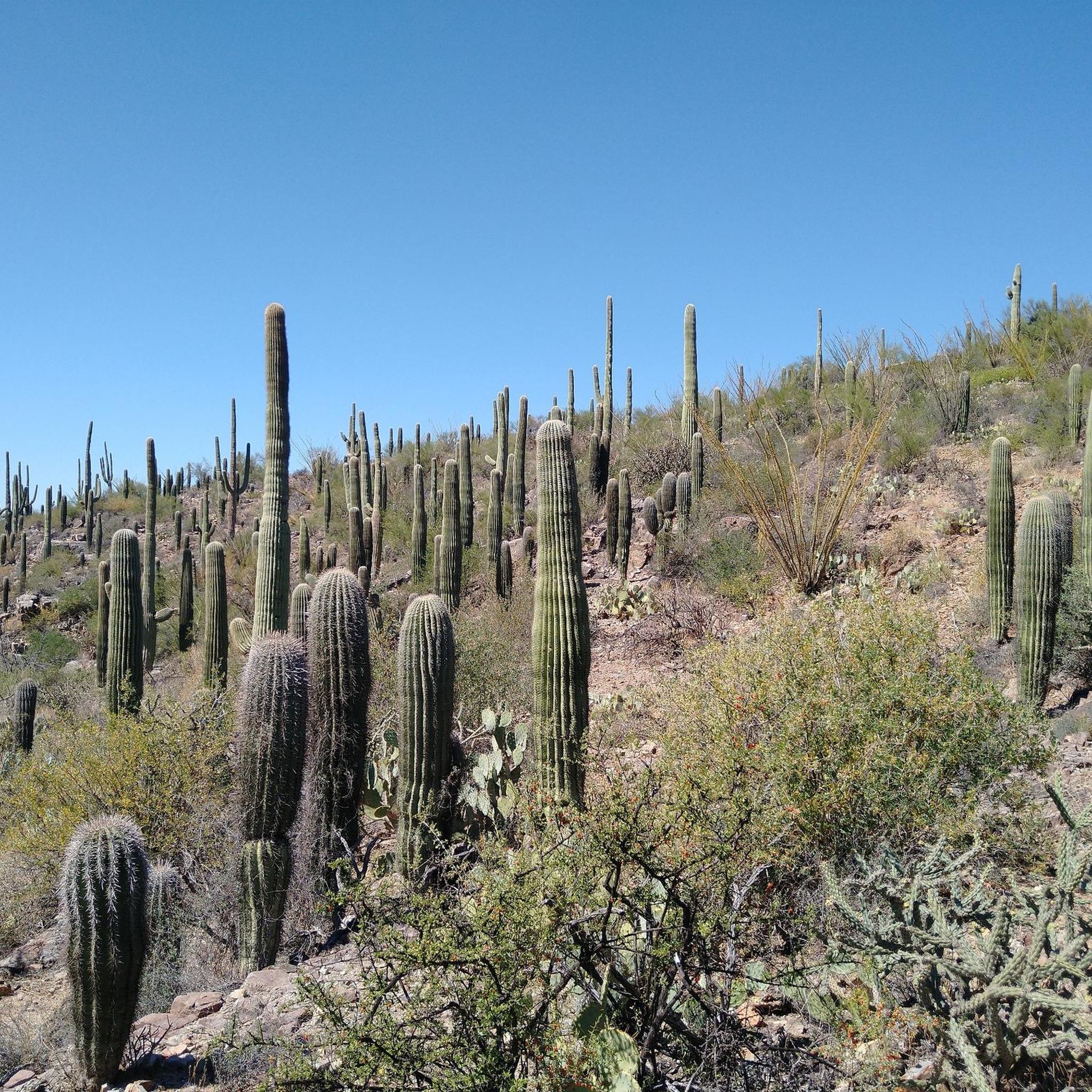
Future Generations Overlook is located along Cactus Forest Drive in Saguaro National Park East. It gives you views of the Rincon Mountains and the cactus forest blanketing them. Snap a photo before continuing your run or hike.
0
0

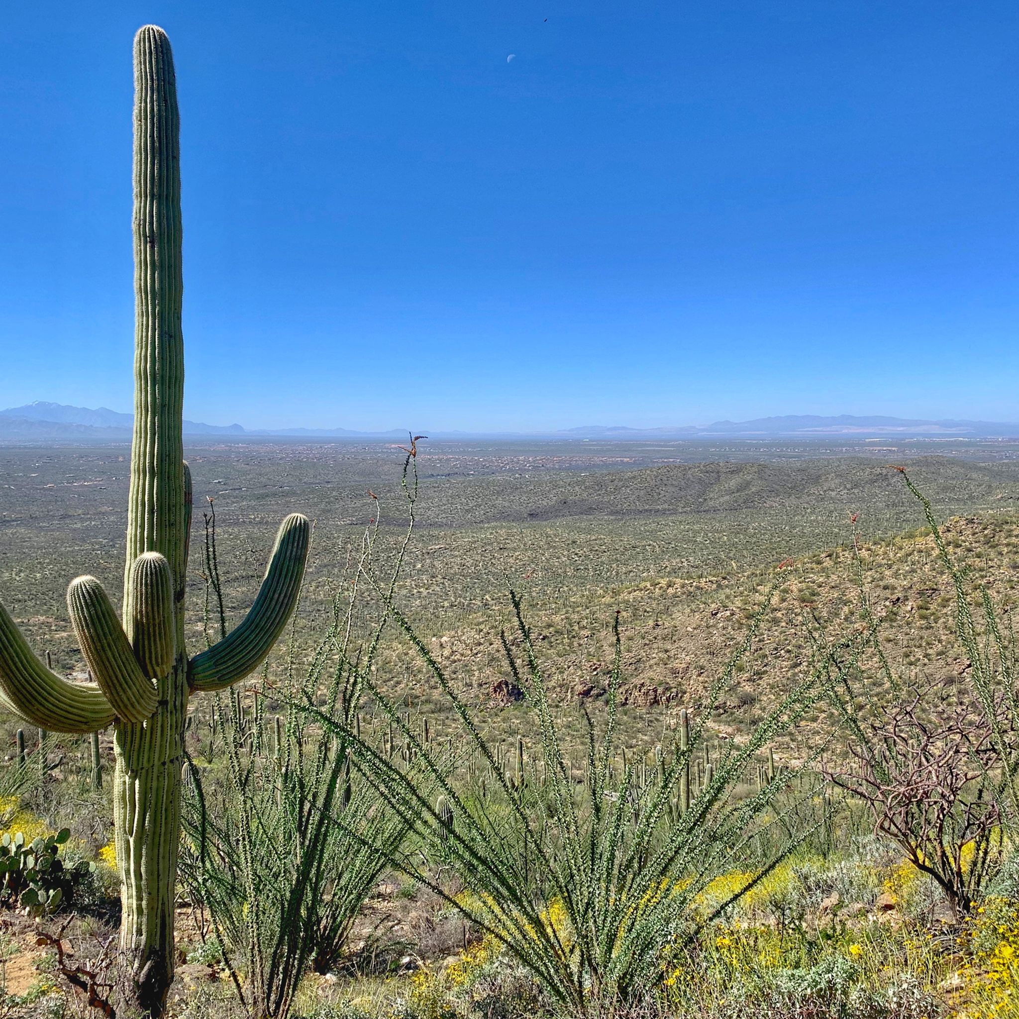
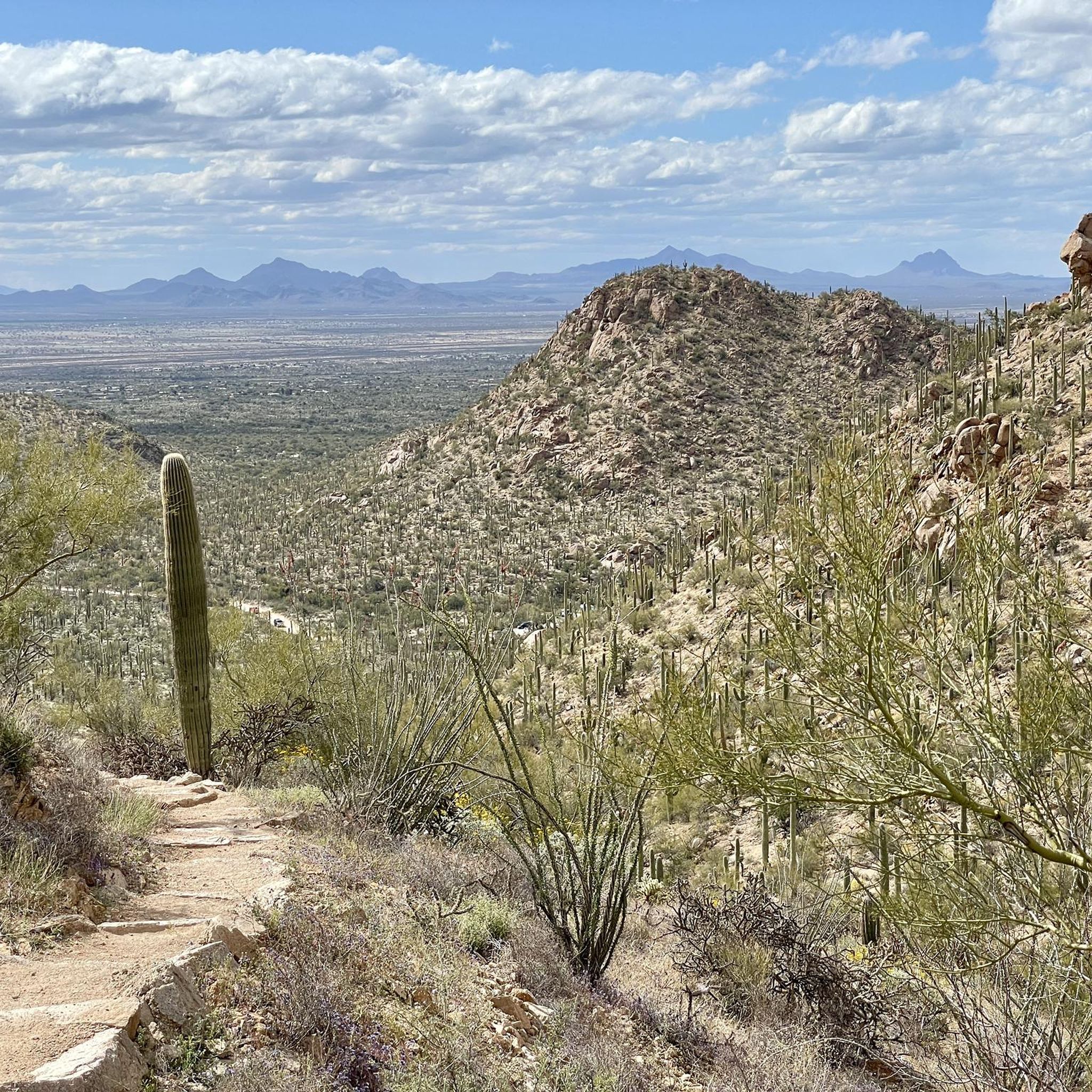
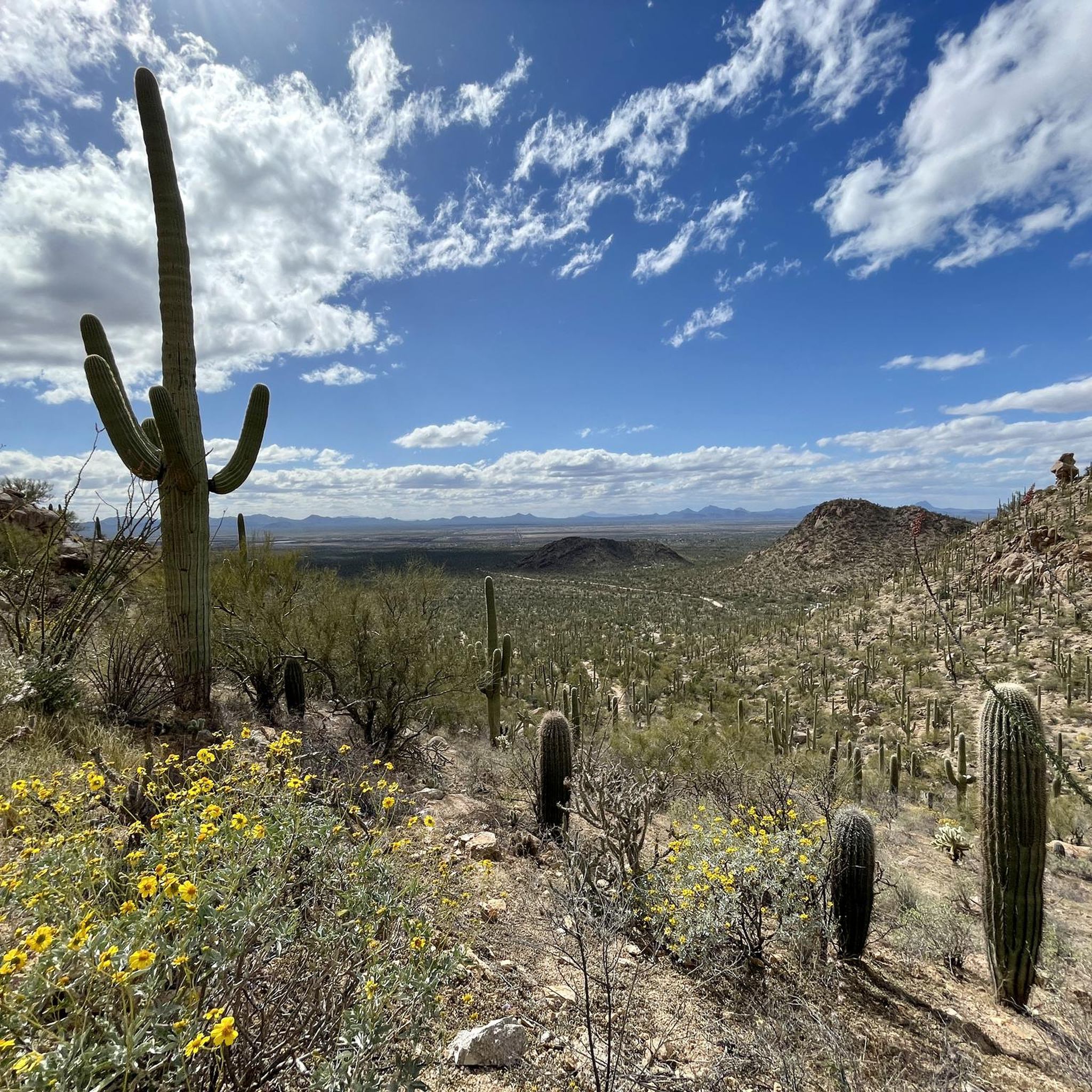
This road offers stunning views of the Sonoran Desert, with its iconic saguaro cacti, desert vegetation, and rugged mountain backdrops.
0
0

The Juan Bautista de Anza Trail passes through three states and two countries as it follows the historic route of Spanish colonizers from Mexico to what is now San Francisco. This particular spot in the trail is close to Sentinel Peak Park (yes, you can bike up the road to the peak). The trail also parallels the Santa Cruz River for a stretch.
2
0

Javelina Rocks is a hidden gem located in Saguaro National Park. The site is along the eight-mile Cactus Forest Drive, between the six and seven-mile markers. Javelina Rocks features unique rock formations and short hiking trails that wind around saguaros, cholla cacti, and wildflowers. The rocks, which are made of Catalina gneiss, are named after javelinas that sometimes shelter here.
0
0
From here you can see into St. Philip's Plaza, and maybe even catch a glimpse of the fountain near its center if crowds of people aren't in the way. This plaza isn't just popular with walkers and shoppers; it's also a common spot to begin or end a road ride.
1
0
Frequently Asked Questions
How many road cycling routes are available in Saguaro National Park?
Saguaro National Park offers a diverse network of over 50 road cycling routes. These routes cater to various skill levels, ranging from easy paved loops to more challenging paths with significant elevation changes, allowing you to explore the unique Sonoran Desert landscape.
What types of terrain can I expect on road cycling routes in Saguaro National Park?
You'll encounter a mix of terrain. The Rincon Mountain District (East) features fully paved scenic loops like the Cactus Forest Scenic Loop Drive, known for its 'up and down thrills'. In the Tucson Mountain District (West), the Bajada Loop Drive includes both paved sections and graded dirt roads, generally suitable for bicycles, offering extensive views of the saguaro forests.
Are there any easy or beginner-friendly road cycling routes in Saguaro National Park?
Yes, there are several easy routes perfect for beginners or families. A popular choice is Saguaro East Loop loop from Tanque Verde, an easy 15.4-mile (24.8 km) paved trail through dense saguaro cactus forests. Another easy option is El Rio Preserve loop from Quarry Pines Golf Club, which is 13.2 miles (21.3 km) long with minimal elevation gain.
What are some notable landmarks or natural features I can see while cycling in Saguaro National Park?
While cycling, you'll be immersed in the iconic Sonoran Desert. You can expect to see towering saguaro cacti, various other cactus species, and diverse desert flora. In the Tucson Mountain District, consider visiting the Signal Hill Petroglyphs, which feature ancient rock art. The King Canyon Wash Petroglyphs are also accessible. Many routes offer scenic vistas and pullouts for panoramic views of the desert landscape.
Are there specific loop routes for road cycling in Saguaro National Park?
Absolutely. The park is well-known for its scenic loop drives. In the Rincon Mountain District (East), the 8-mile (12.9 km) Cactus Forest Scenic Loop Drive is fully paved. In the Tucson Mountain District (West), the 6-mile (9.7 km) Bajada Loop Drive offers a mix of paved and graded dirt roads. Routes like Javelina Rocks loop from Pink Hill also provide extensive loop experiences.
What is the best time of year to go road cycling in Saguaro National Park?
The cooler months, typically from October to April, are ideal for road cycling in Saguaro National Park. During these times, temperatures are more moderate, making for a more comfortable ride. It's always recommended to start early in the morning to avoid the mid-day heat, especially outside of winter.
Is parking available for road cyclists in Saguaro National Park?
Yes, parking is available at various access points for both districts of Saguaro National Park. For the Rincon Mountain District (East), you can find parking at the visitor center and along the Cactus Forest Scenic Loop Drive. In the Tucson Mountain District (West), parking is available at the Red Hills Visitor Center and at various trailheads and picnic areas along the Bajada Loop Drive.
Can I spot wildlife while road cycling in Saguaro National Park?
Yes, Saguaro National Park is home to diverse wildlife. While cycling, you might spot roadrunners, Gila monsters, javelinas, jackrabbits, and various bird species. Early mornings or late afternoons are often the best times for wildlife viewing. Remember to maintain a safe distance and never disturb the animals.
Are permits required for road cycling in Saguaro National Park?
A park entrance fee is required to access Saguaro National Park, which covers road cycling within the park. You can purchase a 7-day vehicle pass or an annual pass. For detailed information on fees and passes, please visit the official National Park Service website: nps.gov/sagu.
What do other road cyclists enjoy the most about road cycling in Saguaro National Park?
The road cycling routes in Saguaro National Park are highly rated by the komoot community, with an average score of 4.8 stars. Reviewers often praise the stunning desert scenery, the unique experience of cycling among towering saguaro cacti, and the well-maintained paved roads that offer both a good workout and breathtaking views. Many appreciate the opportunity to immerse themselves in the Sonoran Desert ecosystem.
Are there any challenging road cycling routes for experienced riders?
While many routes are moderate, some offer significant elevation gain for experienced riders. For example, Gates Pass loop from Barrio Kroeger Lane is a moderate 21.4-mile (34.4 km) route with over 1,700 feet (520 meters) of elevation gain, providing a good challenge and varied desert terrain.
How can I find more information about cycling regulations in Saguaro National Park?
For comprehensive information on bicycling regulations, safety tips, and specific rules within Saguaro National Park, it's best to consult the official National Park Service website dedicated to cycling: nps.gov/sagu/bicycling. This resource provides up-to-date details to ensure a safe and enjoyable ride.
Most popular routes in Saguaro National Park
Most popular attractions in Saguaro National Park

Get inspired with the komoot mobile app


Explore more
Browse the best Road cycling routes in other regions.
