The best walks and hikes in Saguaro National Park
4.8
(224)
2,676
hikers
70
hikes
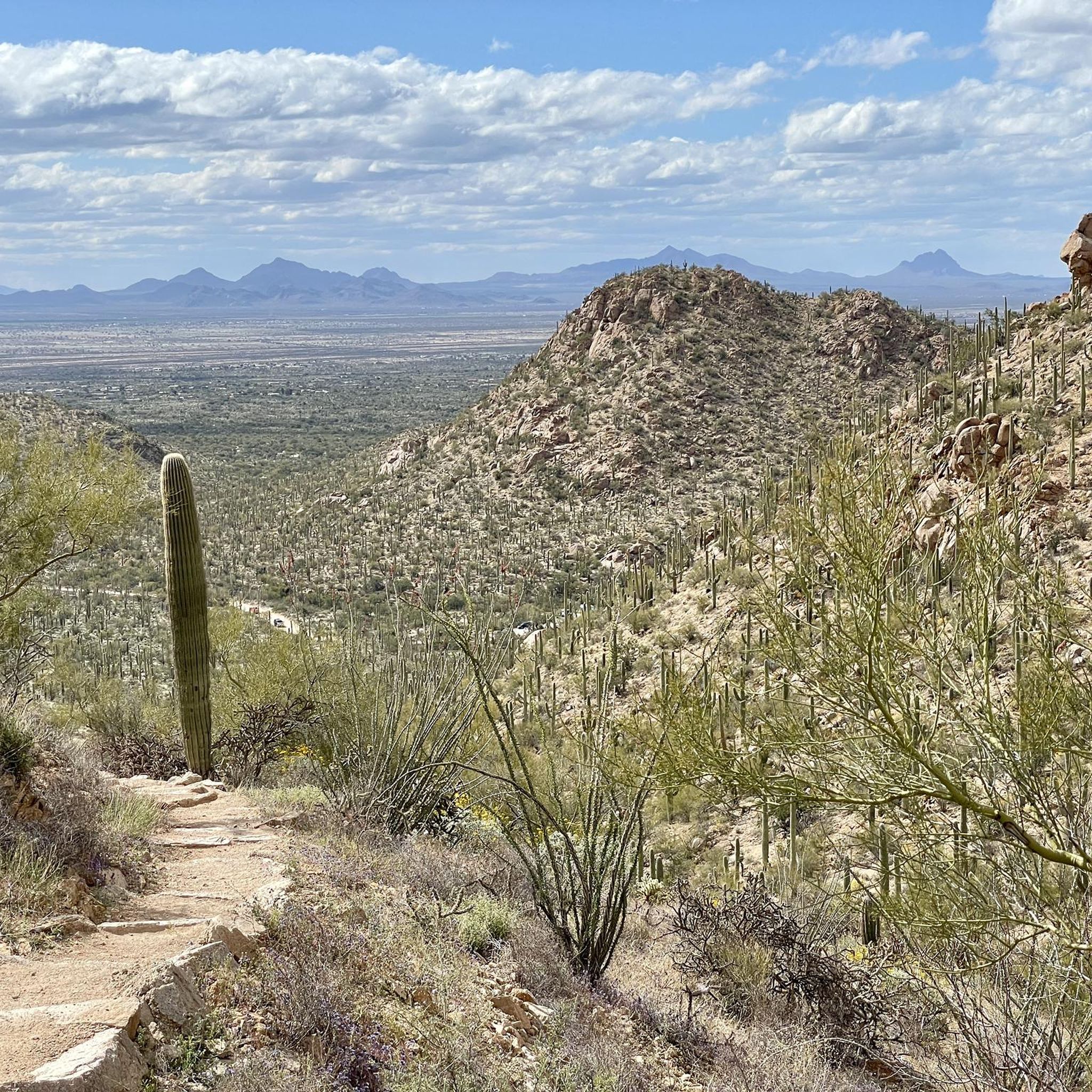
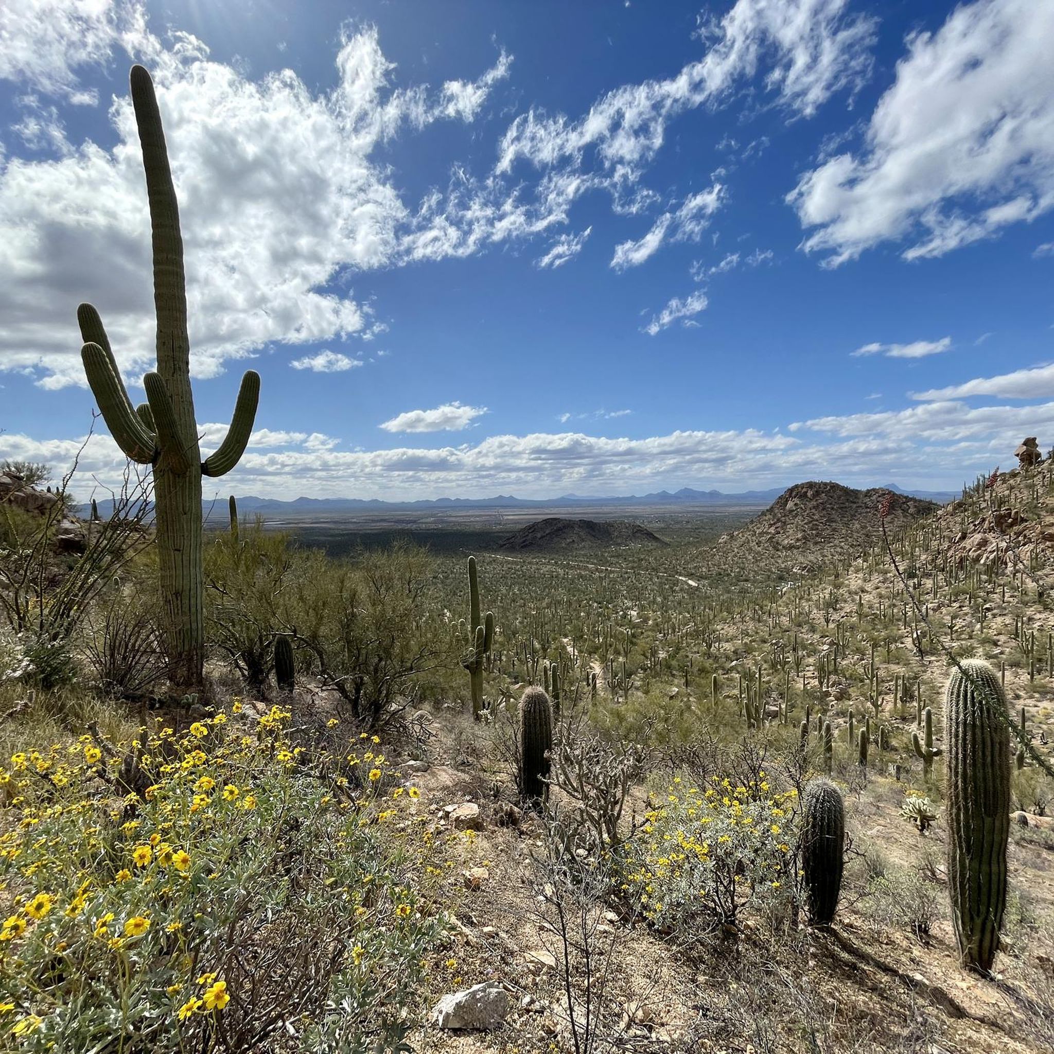
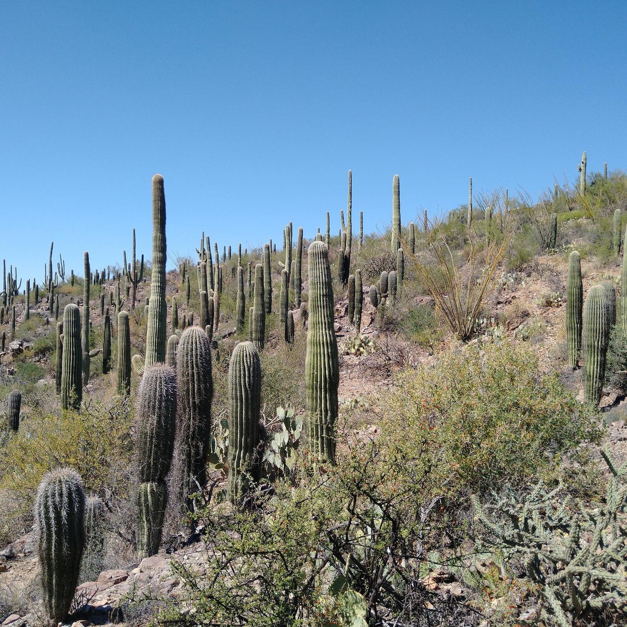
Hikes in Saguaro National Park explore a unique Sonoran Desert landscape defined by the giant saguaro cactus. The region is characterized by rugged mountains and desert washes, with trails winding through dense cactus forests. The park is split into two districts, the Rincon Mountain District (East) and the Tucson Mountain District (West), both offering routes across the desert floor and into rolling hills.
Best hiking trails in Saguaro National Park
- The most popular hiking route is Cactus Forest & Mica View Trail loop — Saguaro National Park, a 1.8 mile (3.0 km) trail that takes around 45 minutes to complete. This is a relatively flat route through a dense section of saguaro cacti.
- Another top favourite among local hiking enthusiasts is Loma Verde, Pink Hill & Squeeze Pen trail loop — Saguaro National Park, a moderate 6.5 mile (10.5 km) path. The trail covers rolling desert terrain with views of the surrounding landscape.
- Local hiking enthusiasts also love the Freeman Homestead Trail loop — Saguaro National Park, a 1.1 mile (1.7 km) trail leading through a desert wash, often completed in about 30 minutes.
- Hiking in Saguaro National Park is defined by saguaro forests, desert washes, and rocky hills. The network of Saguaro National Park hiking trails offers options for different ability levels, from short nature walks to longer desert hikes.
- The routes in Saguaro National Park are highly rated by the komoot community with an average score of 4.8 stars from more than 80 reviews. More than 850 hikers have used komoot to explore Saguaro National Park's varied terrain.
Last updated: July 22, 2026
11
hikers
4.44km
01:10
30m
30m
The Shantz and Mica View Trail loop offers a quintessential Sonoran Desert experience, perfect for a relaxed outing. You'll wander through a dense "cactus forest" featuring iconic saguaros, mesquite, and palo verde trees, with the Shantz Trail providing views of the Rincon Mountains and the Mica View Trail showcasing the Santa Catalina Mountains. It's an easy 2.8-mile (4.4 km) hike with just 115 feet (35 metres) of elevation gain, taking about 1 hour and 9 minutes, making it a great option for family friendly hikes.
For planning your visit, the trail is easily accessible from the Broadway Trailhead, which has free parking, or the Mica View Picnic Area. The Mica View Trailhead also features amenities like shaded picnic tables and vault toilets. While you can hike year-round, the best time to hike is in the cooler mornings or evenings, especially during warmer months, and remember to bring plenty of water. Dogs are welcome, but only on the paved sections of the trail.
This Shantz and Mica View Trail loop is a fantastic introduction to the wildlife on Shantz and Mica View Trail, where saguaros often host birds like Gila woodpeckers. A significant portion of the Mica View Trail is paved and ADA accessible, ensuring that many can enjoy the desert scenery. It's a gentle, beginner hiking route that provides a peaceful escape into Saguaro National Park East's unique ecosystem.
8
hikers
8.48km
02:11
40m
40m
The Cactus Forest, Squeeze Pen, and Pink Hill Loop offers a quintessential Sonoran Desert experience, winding through a landscape rich with diverse cactus species and desert flora. You'll enjoy expansive views of the unique vegetation and wildlife, with the trail occasionally dipping into the Loma Verde Wash, providing varied terrain underfoot. It's a fantastic way to connect with the desert's natural beauty without a demanding ascent.
This moderate 5.3-mile (8.5 km) hike, with its gentle 145 feet (44 metres) of elevation gain, is best tackled in the cooler parts of the day, especially during warmer seasons. The estimated duration of 2 hours and 11 minutes makes it a perfect half-day adventure. Always bring sufficient water, and check local conditions before heading out.
This loop is an ideal choice for those seeking a relaxed yet immersive desert walk, offering a chance to observe the delicate ecosystem of the Sonoran Desert. Its accessibility and manageable length make it suitable for a wide range of hikers, providing a peaceful escape into nature.

Sign up for free
5.0
(3)
9
hikers
5.54km
01:25
20m
20m
The Loma Verde Loop offers a delightful immersion into the Sonoran Desert, showcasing its iconic saguaros and diverse plant life. As you walk this easy 3.4-mile (5.5 km) route, you'll traverse gentle terrain, passing through mesquite groves and spotting various cacti. The trail provides excellent views of Sonoran Desert vegetation and wildlife, making it a quintessential Saguaro National Park experience.
Planning your visit to the Loma Verde Loop is straightforward, though timing is key. With minimal shade, it's best to hike in the early morning or late evening, especially during warmer periods, and always carry ample water. The trailhead is easily accessible, and while the paths are well-marked, a map can be useful given the area's interconnected trails. Expect to spend about 1 hour and 25 minutes on this loop, which has a gentle 74 feet (23 metres) of elevation gain.
This trail is particularly notable for its historical significance, featuring the Loma Verde Mine Site, an abandoned copper mine that adds a layer of intrigue to your desert exploration. It's an ideal choice for families or those seeking a relaxed hike, offering a chance to spot desert wildlife like Gila woodpeckers and jackrabbits. The Loma Verde Loop serves as a fantastic introduction to the unique biodiversity of the Rincon Mountain District.
5.0
(1)
6
hikers
9.32km
02:32
140m
140m
Embark on a moderate hiking adventure through the Sonoran Desert on the Ringtail, Picture Rocks, Coyote Pass, Cactus Canyon, Ironwood Loop. This route spans 5.8 miles (9.3 km) and involves a total elevation gain of 454 feet (138 metres), typically taking about 2 hours and 32 minutes to complete. You will encounter classic desert scenery, featuring an abundance of saguaro cacti, ocotillos, and ironwood trees, with terrain varying from smooth paths to slightly more technical sections, such as the initial quarter-mile of the Cactus Canyon Trail.
When planning your visit, you will find this collection of trails offers varied terrain suitable for different skill levels, generally falling into the easy to intermediate categories. Expect well-defined singletrack sections and some areas where you will be walking through washes. Parking is generally accessible near the trailhead, and many social trails branch off the Ironwood Loop, often leading to the same general area, providing flexibility for exploration.
This loop provides a unique opportunity to experience the rich natural environment of the Sonoran Desert, home to a diverse array of plant life like the iconic saguaro. A notable highlight is the Picture Rock Petroglyphs, a short detour that offers a fascinating glimpse into ancient history and the cultural heritage of the region, set against a backdrop of spectacular desert views. It's a chance to connect with both nature and the past.
4
hikers
15.5km
04:48
790m
130m
Embark on a rewarding journey from the Alta Loma Trailhead to Grass Shack Camp, a moderate 9.6-mile (15.5 km) hike that offers a dramatic ecological transition. You'll start among towering Giant Saguaros in the Sonoran Desert, gradually ascending through diverse terrain until you reach cooler pine forests near Grass Shack Camp. The route provides expansive views of the Rincon Mountains and Tucson Valley, making the 2592 feet (790 metres) of elevation gain well worth the effort over approximately 4 hours and 48 minutes.
Planning your visit requires a few considerations. As the trail is within Saguaro National Park, expect park regulations and potential entrance fees. If you intend to camp overnight at Grass Shack Camp, a backcountry permit from the National Park Service is mandatory. Parking is available at the Alta Loma Trailhead, but it's advisable to arrive early, particularly during busy periods, to ensure you find a spot.
This trail is notable for its unique shift from desert to pine forest, showcasing the rich biodiversity of the region. Portions of the route are also part of the larger Arizona Trail, so you might encounter thru-hikers. Keep an eye out for diverse wildlife, including foxes and coyotes, and appreciate the historical elements like old ranch roads that hint at the area's past.
Get access to more routes and recommendations from other explorers.
Sign up for free
Already have an account?
Our route recommendations are based on thousands of hikes, rides, and runs completed by other people on komoot.
Start today with a free account
Your next adventure awaits.
Login or Signup


Other adventures in Saguaro National Park


Tips from the Community

The bed of the seasonal wash is sandy and filled with scattered river stones. Here the mesquite trees that take advantage of the wash offer some brief partial shade along the trail.
0
0

The Sonoran Desert encompasses parts of Mexico and the Southwestern U.S., including Southern Arizona. Enjoy views of Saguaro and Barrel cacti, Yucca, Cholla, Marigold, Ocotillo, and Brittlebrush. Keep an eye out for desert wildlife, including Gila monsters, Cactus wrens, Roadrunners, Rattlesnakes, and Tarantulas. Remember to always keep a respectful distance from wildlife, for your safety as well as theirs.
0
0
Follow the Ringtail Trail to Picture Wash Trail. Keep an eye out for petroglyphs (rock art/etchings). Most of the rock art found in Saguaro was created by the prehistoric Hohokam people and represents animals, humans, and astrological objects.
0
0
Start on the Loma Verde Trail and hike through a grove of mature Mesquite trees. You will come across this seasonally flowing wash. Continue on to Pink Hill and Squeeze Pen.
1
0
Loop back to Thunderbird Trail or to the Gila Monster Mine Trail after enjoying the cactus forest views on the Cactus Canyon Trail.
0
0

These huge cacti are the typical symbol for Arizona and Mexico. The giants are hundreds of years old, one arms needs decades to grow. The right pronunciation is suh·waa·row. If you thruhike the Arizona Trail, they will be your companions until you reach the Four Peaks Wilderness.
4
0
Grass Shack Camp is one of the campgrounds in Saguaro National Park, where you are allowed to stay overnight with a permit. Permits can be obtained at rec.gov. An overnight stay is 8 dollars per person and night. This is one of the two camps along the Arizona Trail. There are 3 sites with a maximum number of 6 persons per site. Each site has a bear box. Grass Shack is a great campground that offers shade from large sycamores as well as other riparian species. Two of the larger streams – Chimenea Creek and Madrona Creek – run through and by the campground, providing water most of the year. Fires are not allowed here.
6
0
Frequently Asked Questions
Can I bring my dog on hikes in Saguaro National Park?
Generally, pets are not permitted on trails within Saguaro National Park to protect the native wildlife and desert environment. Leashed pets are allowed on paved roads, in picnic areas, and on two specific paved trails: the Desert Ecology Trail in the Rincon Mountain District (East) and the Desert Discovery Nature Trail in the Tucson Mountain District (West).
What are some good hikes for beginners or families?
The park offers several accessible trails perfect for an easy outing. The Freeman Homestead Trail loop is a short, one-mile walk through a desert wash that offers a glimpse into the area's history. Another excellent choice is the paved Desert Discovery Nature Trail, which is wheelchair-accessible and provides interpretive signs about the Sonoran Desert ecosystem.
Are there any challenging hikes for experienced hikers?
For those seeking a strenuous climb with rewarding views, the Apache Peak Loop via Hugh Norris Trail is a great option. This route involves significant elevation gain and takes you to high points in the Tucson Mountains, offering panoramic vistas of the surrounding desert landscape.
What's the difference between hiking in the East and West districts?
The two districts offer distinct experiences. The Rincon Mountain District (East) is larger, more mountainous, and offers opportunities for longer backcountry hikes. The Tucson Mountain District (West) is known for its denser saguaro forests and is generally lower in elevation, featuring many popular shorter trails.
Where can I find ancient petroglyphs in the park?
The best place to see ancient rock carvings is on the Signal Hill Petroglyphs Trail in the Tucson Mountain District (West). The Signal Hill Picnic Area loop incorporates this area, allowing you to see dozens of well-preserved petroglyphs left by the Hohokam people centuries ago.
Are there any waterfalls in Saguaro National Park?
Yes, but they are seasonal. The Bridal Wreath Falls Trail in the Rincon Mountain District (East) leads to a waterfall that typically flows after substantial rain or during the spring snowmelt. It's a beautiful desert oasis, but be sure to check recent conditions as the falls can be dry for much of the year.
What should I wear and bring for a hike in the desert?
Dressing in layers is key. Wear lightweight, light-colored clothing to reflect the sun, and a wide-brimmed hat for shade. Sturdy hiking shoes are essential for the rocky terrain. Most importantly, carry more water than you think you'll need—at least one gallon (4 liters) per person, per day is recommended, especially in warmer months.
Where is the best place to watch the sunset?
The Gates Pass scenic overlook, just west of the Tucson Mountain District, is a legendary spot for watching the sunset over the saguaro-studded landscape. Within the park, the Valley View Overlook Trail offers fantastic panoramic views that are especially dramatic as the sun goes down, casting long shadows from the giant cacti.
How many hiking trails are in Saguaro National Park?
There are over 50 designated hiking trails across both districts of Saguaro National Park. These range from short, paved nature walks under a mile long to strenuous, multi-day backcountry treks, offering a wide variety of options for all skill levels.
What do other hikers enjoy most about Saguaro National Park?
The area is highly rated by the komoot community. Reviewers frequently praise the unique experience of walking among the giant saguaro cacti and the stunning, colorful sunsets over the desert mountains. The well-maintained trails and the dramatic, rugged scenery are also common highlights.
Do I need a permit for backcountry hiking or camping?
Yes, a permit is required for all overnight stays in the Saguaro Wilderness Area, which is located in the Rincon Mountain District (East). There is no backcountry camping in the Tucson Mountain District (West). Permits must be obtained in advance. For the most current information and to secure a permit, visit the official National Park Service website.
Are there any good circular walks or loop trails?
Yes, the park has many excellent loop trails. For a moderate, rolling desert hike, the Loma Verde, Pink Hill & Squeeze Pen trail loop is a popular choice in the East district. It covers varied terrain and offers great views of the surrounding landscape without requiring you to backtrack.
Most popular routes in Saguaro National Park
Most popular attractions in Saguaro National Park

Get inspired with the komoot mobile app


Explore more
Browse the best Hikes in other regions.
