The best running trails around Nordre Heggelivann
111
runners
7
runs
Jogging routes around Nordre Heggelivann offer an opportunity to explore a landscape characterized by expansive waters and surrounding forests. This large lake, situated at 502 meters above sea level, is part of the Krokskogen area in Ringerike municipality. The region features a network of trails suitable for running, providing varied terrain for outdoor enthusiasts. While specific details on trail surfaces are not always available, the natural environment suggests paths through woodlands and along the lake's vicinity.
Best jogging routes around…
Last updated: May 14, 2026
14
runners
13.8km
01:40
150m
150m
Moderate run. Good fitness required. Mostly paved surfaces. Suitable for all skill levels.
11
runners
19.6km
02:26
260m
260m
Hard run. Very good fitness required. Mostly paved surfaces. Suitable for all skill levels.

Sign up for free
2
runners
9.81km
01:13
230m
230m
Moderate run. Good fitness required. Mostly paved surfaces. Suitable for all skill levels.
3
runners
13.4km
01:38
150m
150m
Moderate run. Good fitness required. Mostly paved surfaces. Suitable for all skill levels.
2
runners
8.46km
01:03
200m
200m
Moderate run. Good fitness required. Mostly paved surfaces. Suitable for all skill levels.
Get access to more routes and recommendations from other explorers.
Sign up for free
Already have an account?
Our route recommendations are based on thousands of hikes, rides, and runs completed by other people on komoot.
Start today with a free account
Your next adventure awaits.
Login or Signup

Tips from the Community

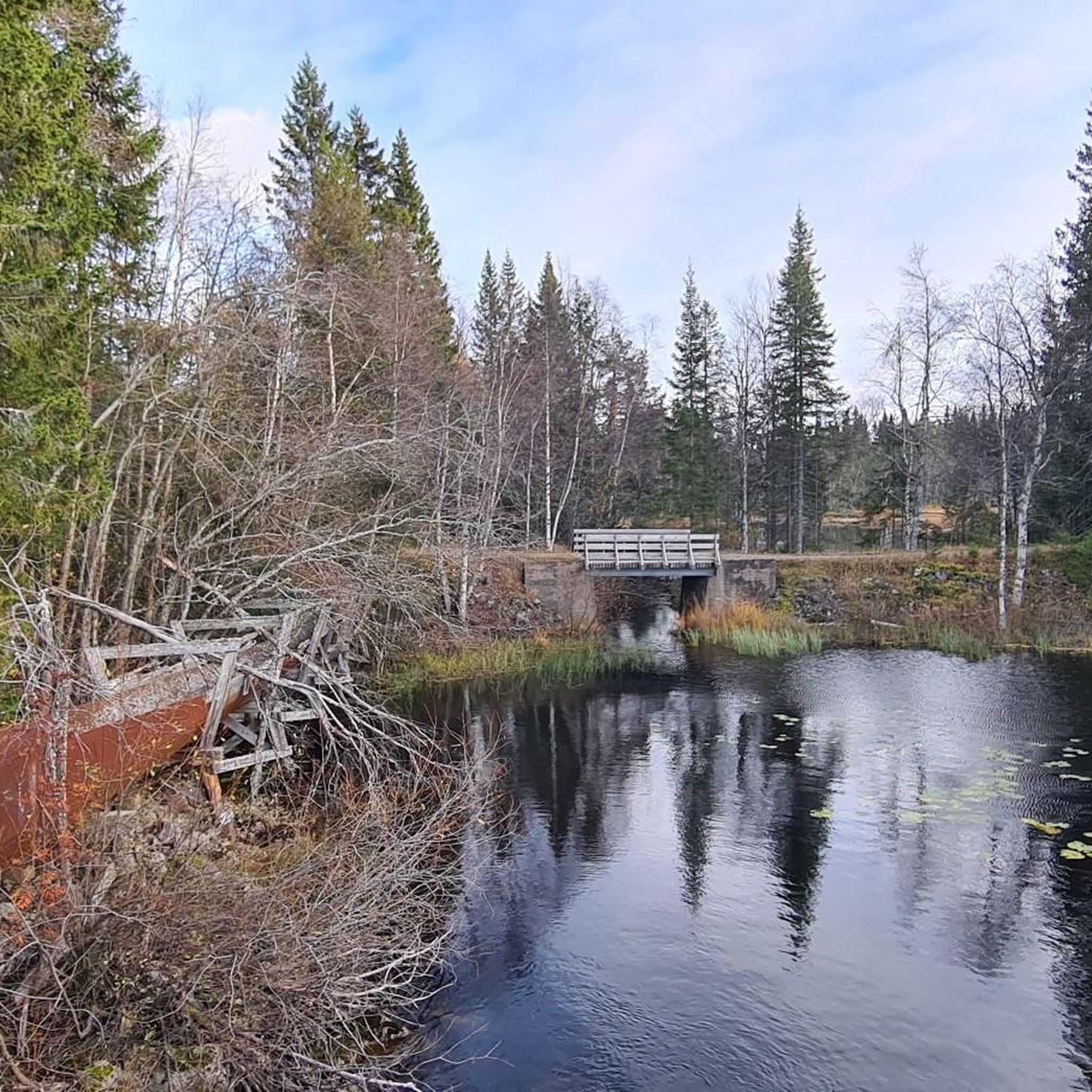
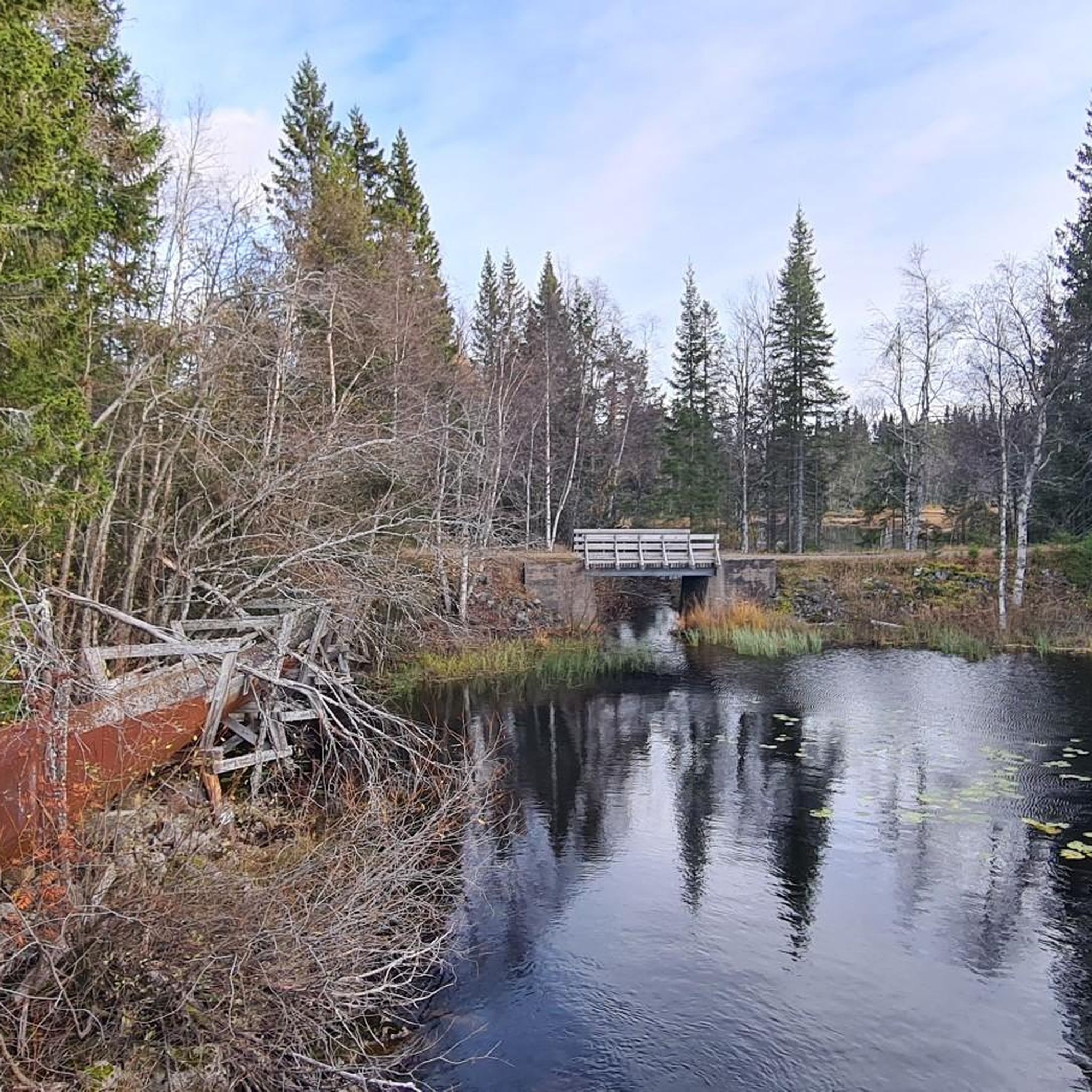
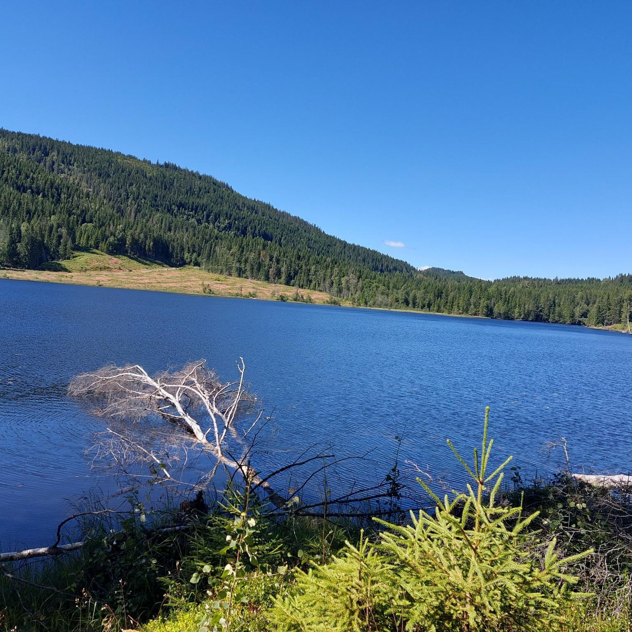
Damtjern is a scenic highland lake that serves as a major gateway to the surrounding wilderness. The lake is nestled within a dense forest of spruce and pine, characterized by its calm waters and rugged, rocky shoreline.
0
0
Frequently Asked Questions
How many running routes are available around Nordre Heggelivann?
There are 8 dedicated running routes around Nordre Heggelivann featured on komoot, offering a variety of distances and difficulty levels to suit different preferences.
What kind of terrain can I expect on the running trails near Nordre Heggelivann?
The terrain around Nordre Heggelivann is characterized by its natural beauty, featuring dense woodlands, tranquil lake views, and rolling hills. You can expect paths that traverse through forests and along the expansive waters of the lake, providing a varied and scenic running experience.
Are there running options for different fitness levels?
Yes, the routes cater to various fitness levels. You'll find both moderate and difficult trails. For example, the Damtjern – Gravmyrhaugen loop from Damtjern is a moderate option, while routes like the Haukåsen – Gravmyrhaugen loop from Damtjern offer a more challenging run with significant elevation changes.
What makes running around Nordre Heggelivann unique?
Running around Nordre Heggelivann offers a unique blend of serene lake views, the quiet of dense woodlands, and the challenge of rolling hills within the picturesque Krokskogen area. The region's history, once used for timber floating and as a drinking water source, adds to its natural charm, making it a distinctive outdoor destination.
Are there any circular running routes in the Nordre Heggelivann area?
Yes, many of the routes are designed as loops, allowing you to start and finish at the same point. Examples include the popular Damtjern – Gravmyrhaugen loop from Damtjern and the longer Solvang Asatua Nature Kindergarten loop from Åsa kraftstasjon.
Can I bring my dog on the running trails near Nordre Heggelivann?
Generally, dogs are welcome on trails in Norway, but it's important to keep them on a leash, especially during nesting seasons for birds (typically April to August) and when near livestock. Always ensure your dog is under control and that you clean up after them to preserve the natural environment for everyone.
Are the running routes suitable for families with children?
While the guide focuses on jogging routes, some trails might be suitable for older children who are accustomed to longer distances and varied terrain. For younger families, it's advisable to check the route difficulty and distance, as many routes are moderate to difficult and can be quite long. The area's general network of 'løyper' (trails) often includes easier paths suitable for walks.
What are some notable features or landmarks I might encounter while running?
While running, you'll be surrounded by the expansive and inviting waters of Nordre Heggelivann itself, nestled centrally on Krokskogen. The charming area of Heggelia, beautifully situated on the northeast side of the lake, is another notable feature. The landscape is rich with characteristic Norwegian natural beauty, including forests and tranquil waters.
How can I get to Nordre Heggelivann using public transport?
Access to Nordre Heggelivann often involves reaching starting points like Skansebakken or Åsa kraftstasjon. While specific public transport details can vary, bus services typically connect surrounding towns to trailheads in the wider Nordmarka area. It's recommended to check local transport schedules for the most up-to-date information on routes to these access points.
Is there parking available near the running trailheads?
Yes, for routes starting from locations like Damtjern or Åsa kraftstasjon, there are typically designated parking areas. For example, access points like Skansebakken are known to have parking facilities, making it convenient for runners arriving by car.
What do other runners enjoy most about jogging in Nordre Heggelivann?
Over 100 komoot users have explored the running routes around Nordre Heggelivann. Runners often praise the tranquil lake views, the immersive experience of running through dense woodlands, and the variety of terrain that offers both moderate and challenging options. The natural, unspoiled environment is a consistent highlight.
What is the best time of year to go running around Nordre Heggelivann?
The best time to run largely depends on your preference. Spring and autumn offer pleasant temperatures and beautiful scenery with changing foliage. Summer provides longer daylight hours. Winter running is also possible, but trails may be covered in snow or ice, requiring appropriate gear like trail spikes or snowshoes, and conditions should be checked beforehand.
Are there any long-distance running options for experienced runners?
Absolutely. For experienced runners seeking a challenge, routes like the Solvang Asatua Nature Kindergarten loop from Steinsfjorden biotopvernområde cover over 23 km (14 miles) with significant elevation gain, providing a demanding and rewarding experience through the region's varied landscape.
Most popular routes around Nordre Heggelivann

Get inspired with the komoot mobile app


Explore more
Browse the best Running Trails & Routes in other regions.
