The best walks and hikes around Isla De Hierro
4.5
(2182)
8,369
hikers
338
hikes
Hiking around Isla De Hierro, the smallest of the Canary Islands, offers diverse landscapes shaped by its volcanic origins. The terrain features rugged volcanic fields, dramatic cliffs, and ancient forests, including humid laurisilva and unique wind-sculpted juniper trees. As a UNESCO Biosphere Reserve and Geopark, the island provides a network of trails that traverse varied ecosystems, from coastal paths to higher elevations with panoramic views.
Best hiking trails around Isla De Hierro
- The most popular hiking route is La Llanía…
Last updated: May 27, 2026
4.9
(125)
472
hikers
6.85km
01:59
150m
140m
Moderate hike. Great for any fitness level. Mostly accessible paths. Sure-footedness required.
4.9
(117)
444
hikers
6.32km
01:51
150m
140m
Moderate hike. Great for any fitness level. Mostly accessible paths. Sure-footedness required.

Sign up for free
4.7
(125)
445
hikers
13.7km
05:34
850m
850m
Hard hike. Very good fitness required. Sure-footedness, sturdy shoes and alpine experience required.
4.7
(96)
291
hikers
7.48km
02:18
270m
270m
Moderate hike. Good fitness required. Easily-accessible paths. Suitable for all skill levels.
4.9
(60)
183
hikers
4.90km
01:18
50m
50m
Easy hike. Great for any fitness level. Easily-accessible paths. Suitable for all skill levels.
4.8
(45)
222
hikers
6.91km
01:50
70m
70m
Hike an easy 4.3-mile (6.9 km) route from Guinea Ecomuseum to Pozo de Los Padrones, exploring El Hierro's history and El Golfo Valley.
4.7
(43)
158
hikers
10.6km
03:28
500m
500m
Hike the Garoé Tree - circular via the Water Route, a 6.6-mile trail on El Hierro, exploring lush landscapes and ancient water history.
4.8
(47)
203
hikers
4.01km
01:03
30m
30m
Easy hike. Great for any fitness level. Easily-accessible paths. Suitable for all skill levels.
4.6
(39)
104
hikers
10.6km
03:28
510m
510m
Hike the moderate 6.6-mile Ruta del Agua Trail in El Hierro, gaining 1681 feet through the Ventejís Protected Landscape.
4.3
(20)
90
hikers
Moderate hike. Good fitness required. Mostly accessible paths. Sure-footedness required.
Get access to more routes and recommendations from other explorers.
Sign up for free
Already have an account?
Our route recommendations are based on thousands of hikes, rides, and runs completed by other people on komoot.
Start today with a free account
Your next adventure awaits.
Login or Signup
Popular around Isla De Hierro
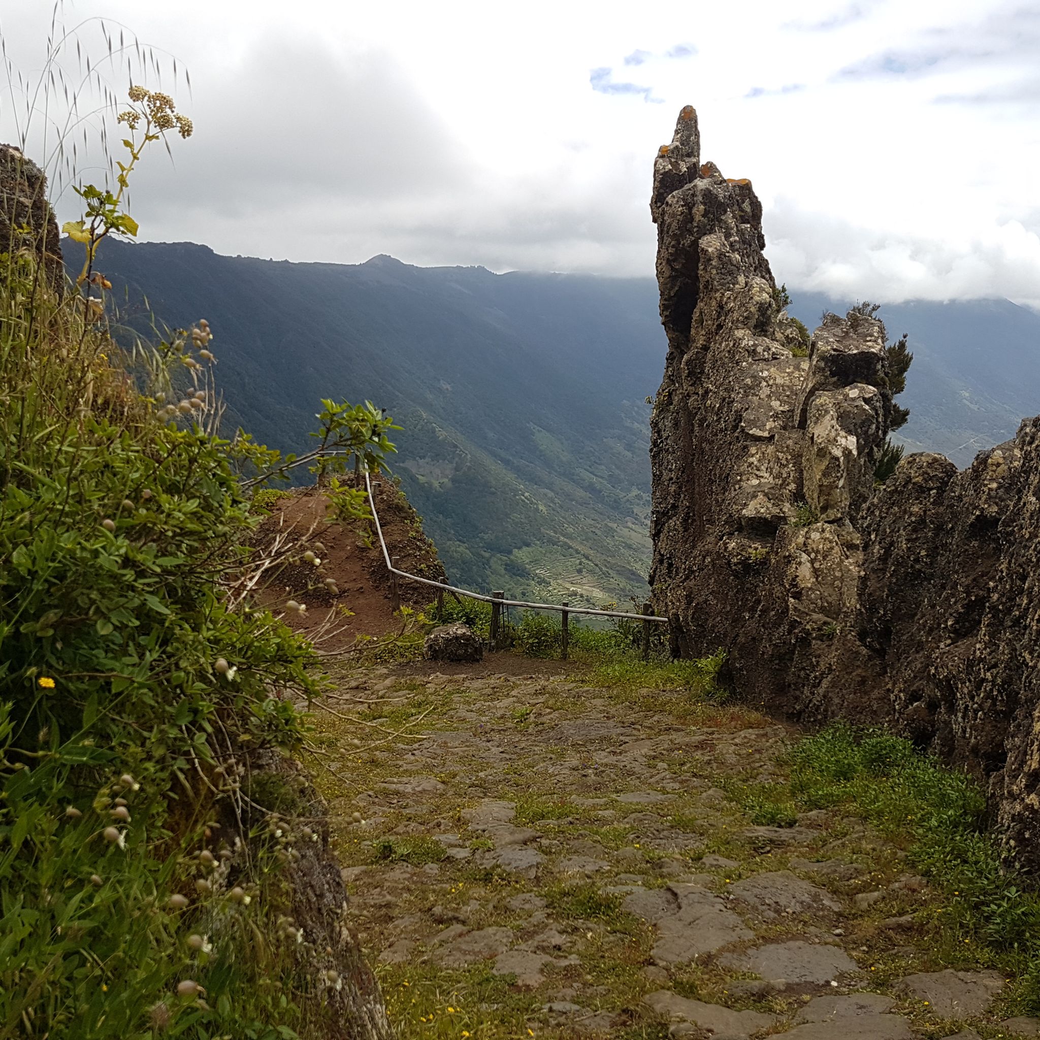
Hiking in El Hierro
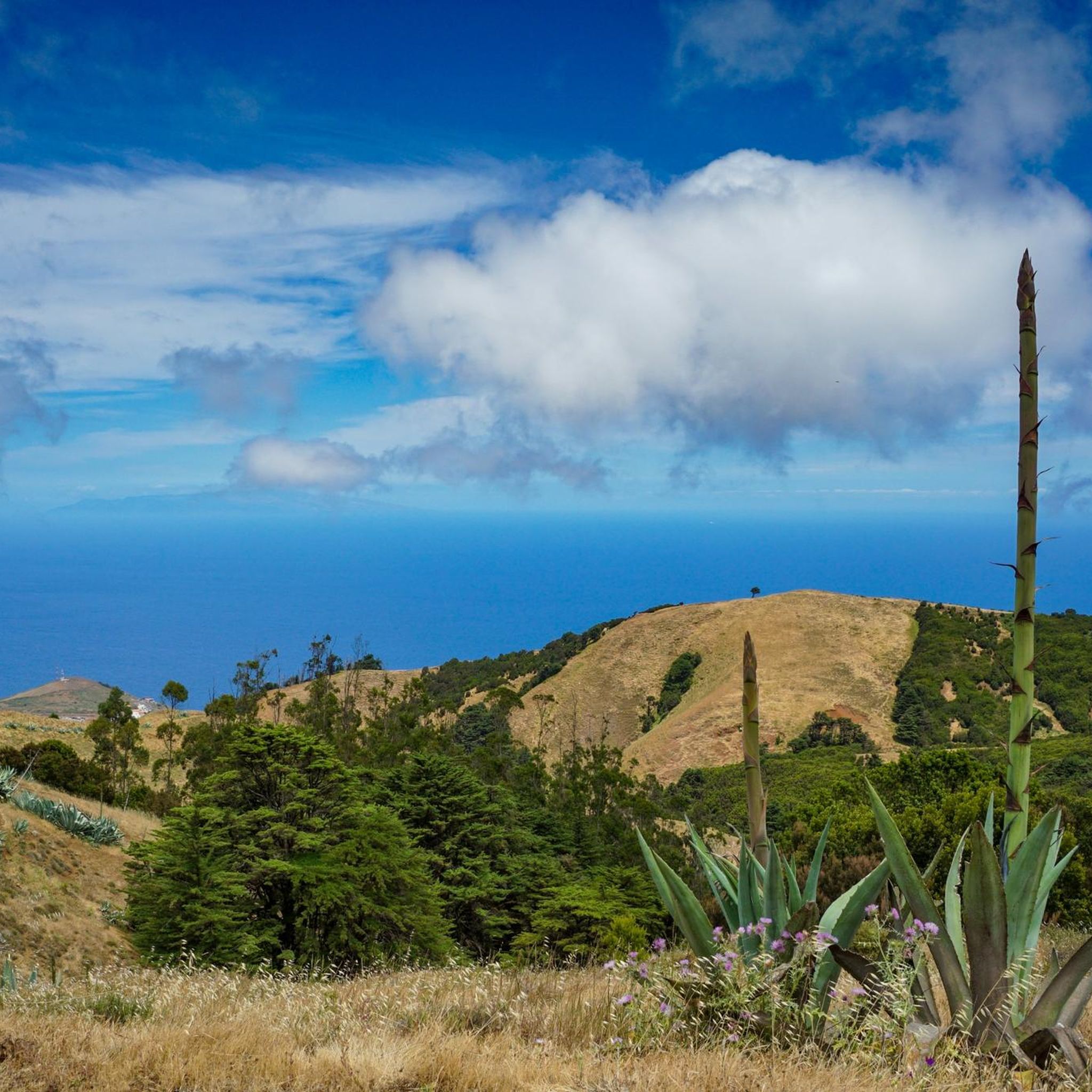
Hiking around Valverde
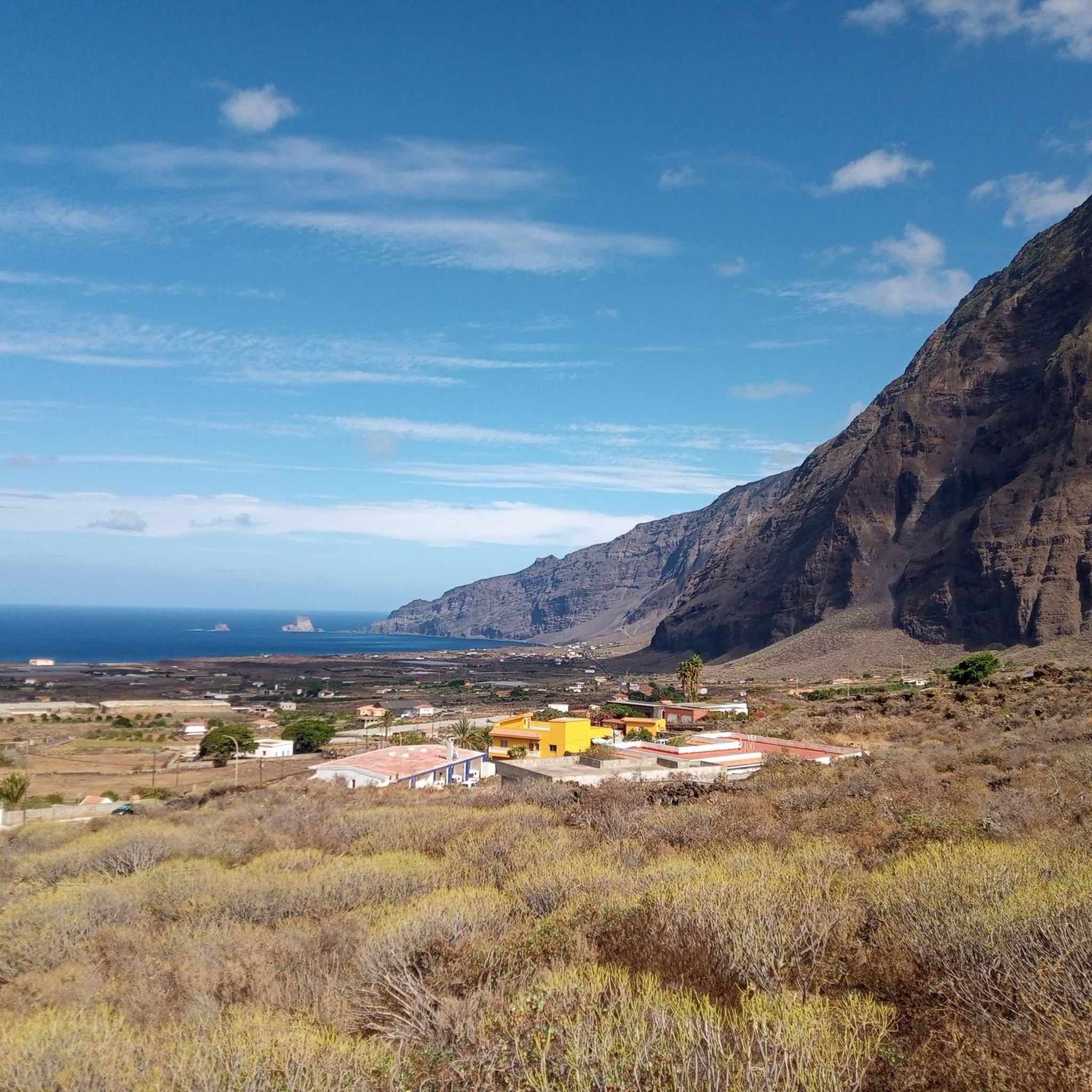
Hiking around Frontera
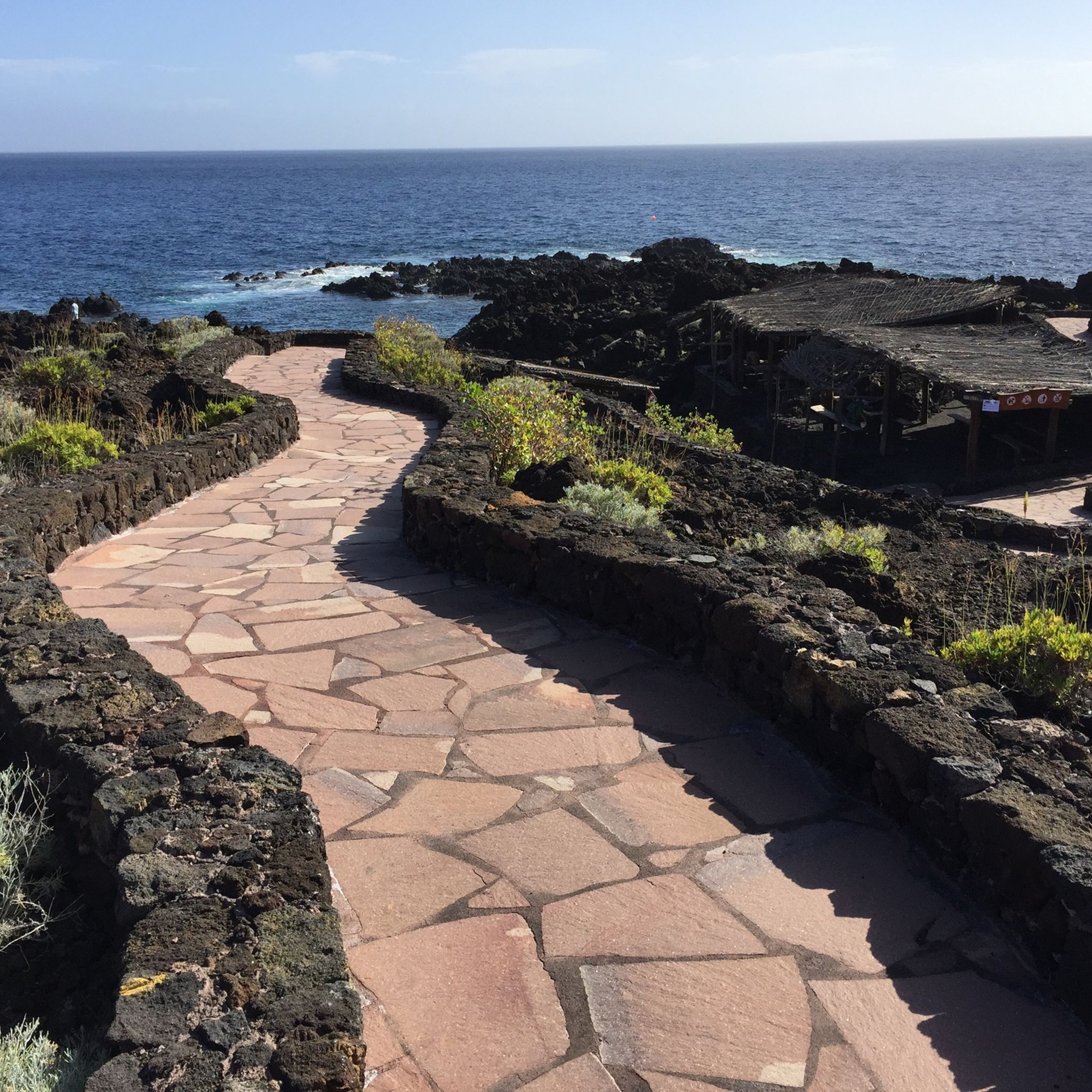
Hiking around El Pinar De El Hierro

La Palma, El Hierro y La Gomera – explore the Canaries’ Green Islands on foot
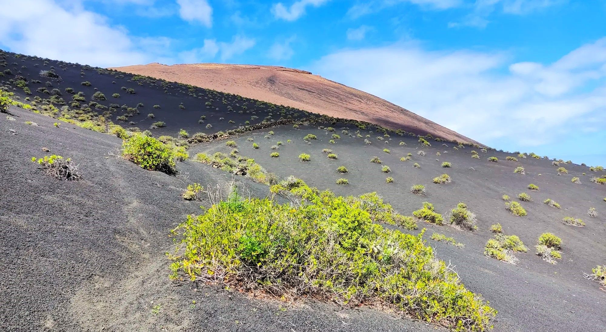
Canarian essence and traditional paths – El Hierro Loop
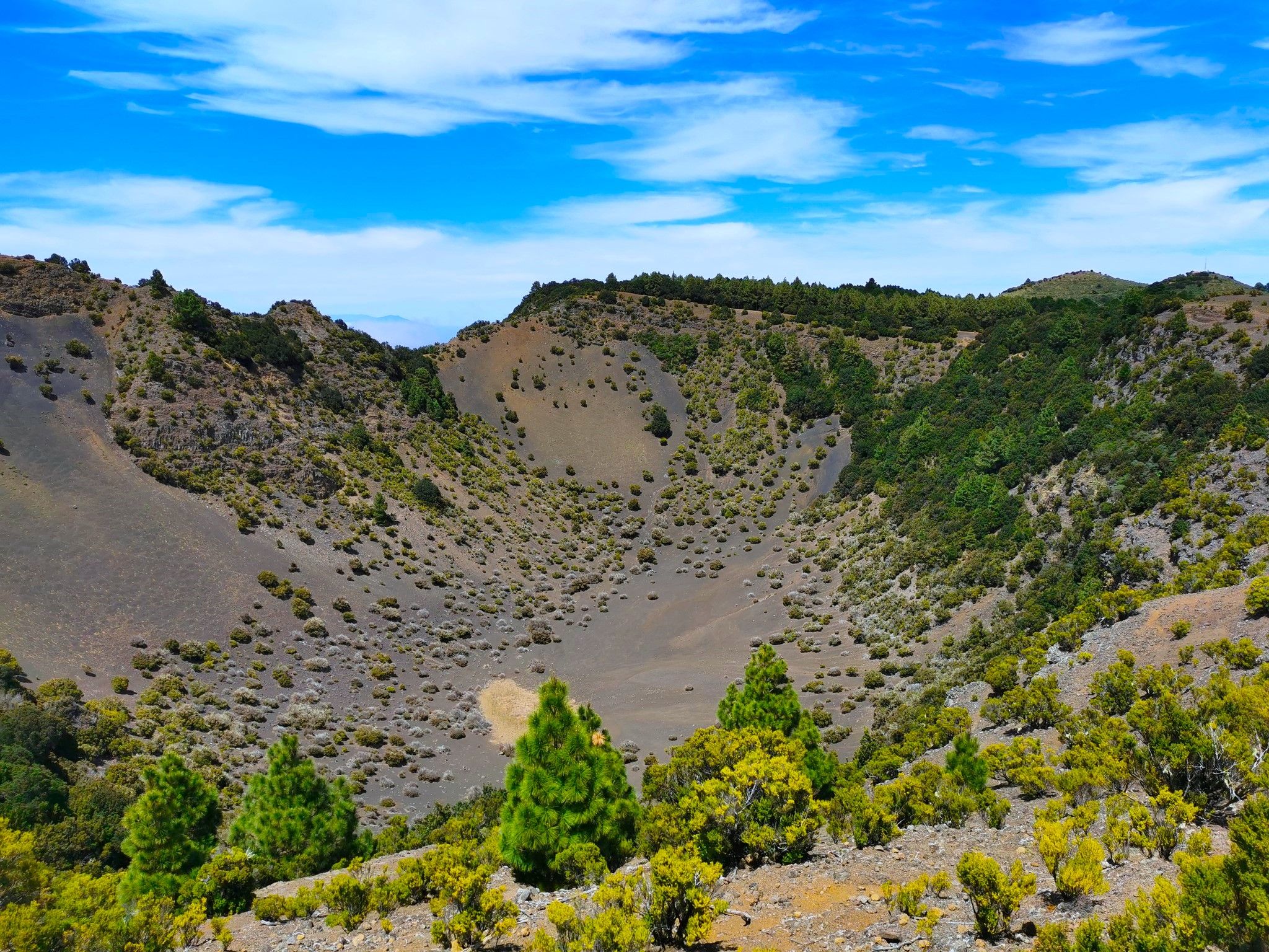
Land of secrets and volcanoes – El Hierro (GR 131)
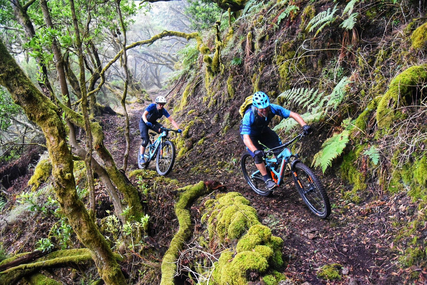
El Hierro: Cycling at the End of the World
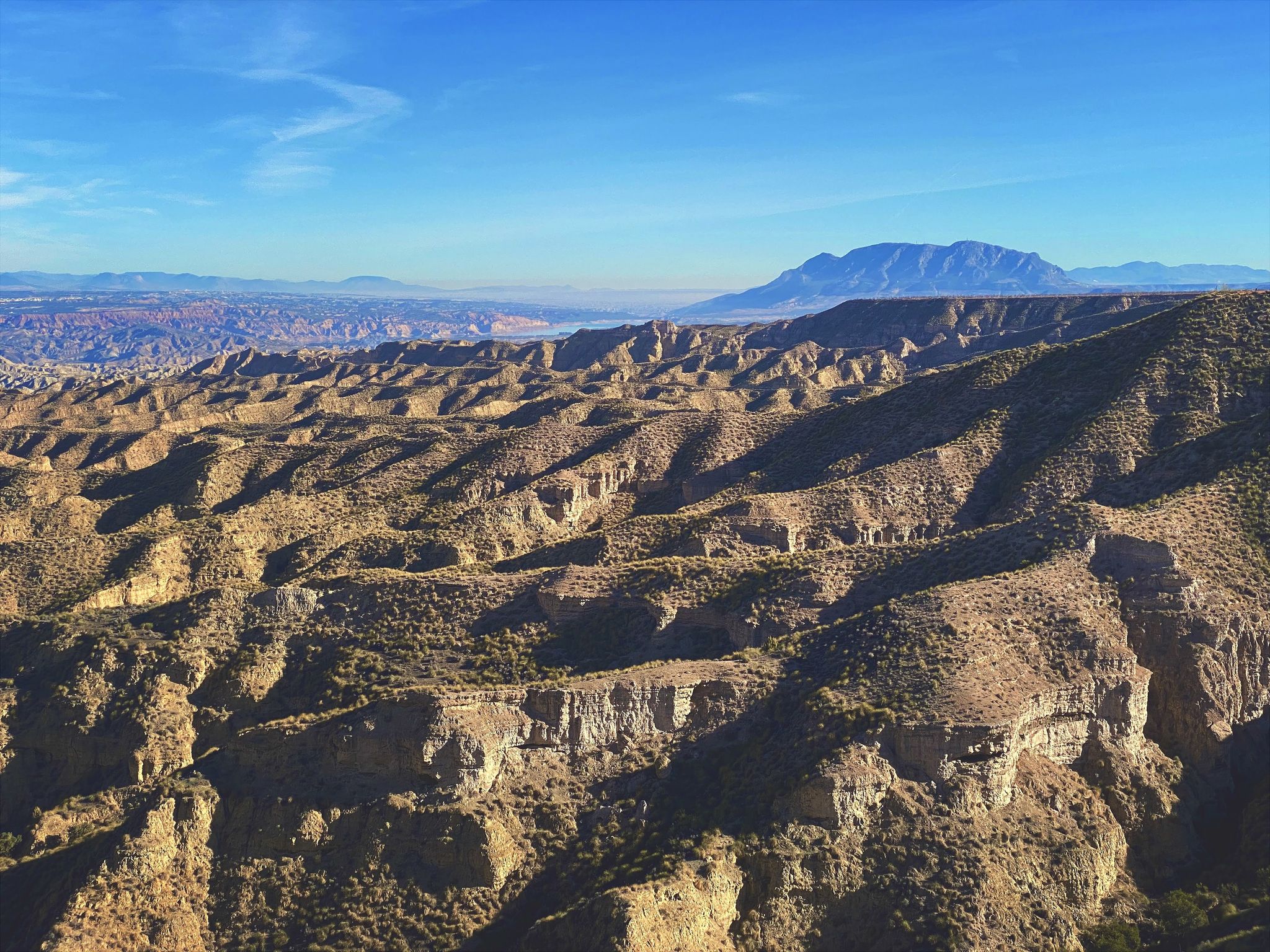
Discover Spain by gravel — a selection of must-see routes
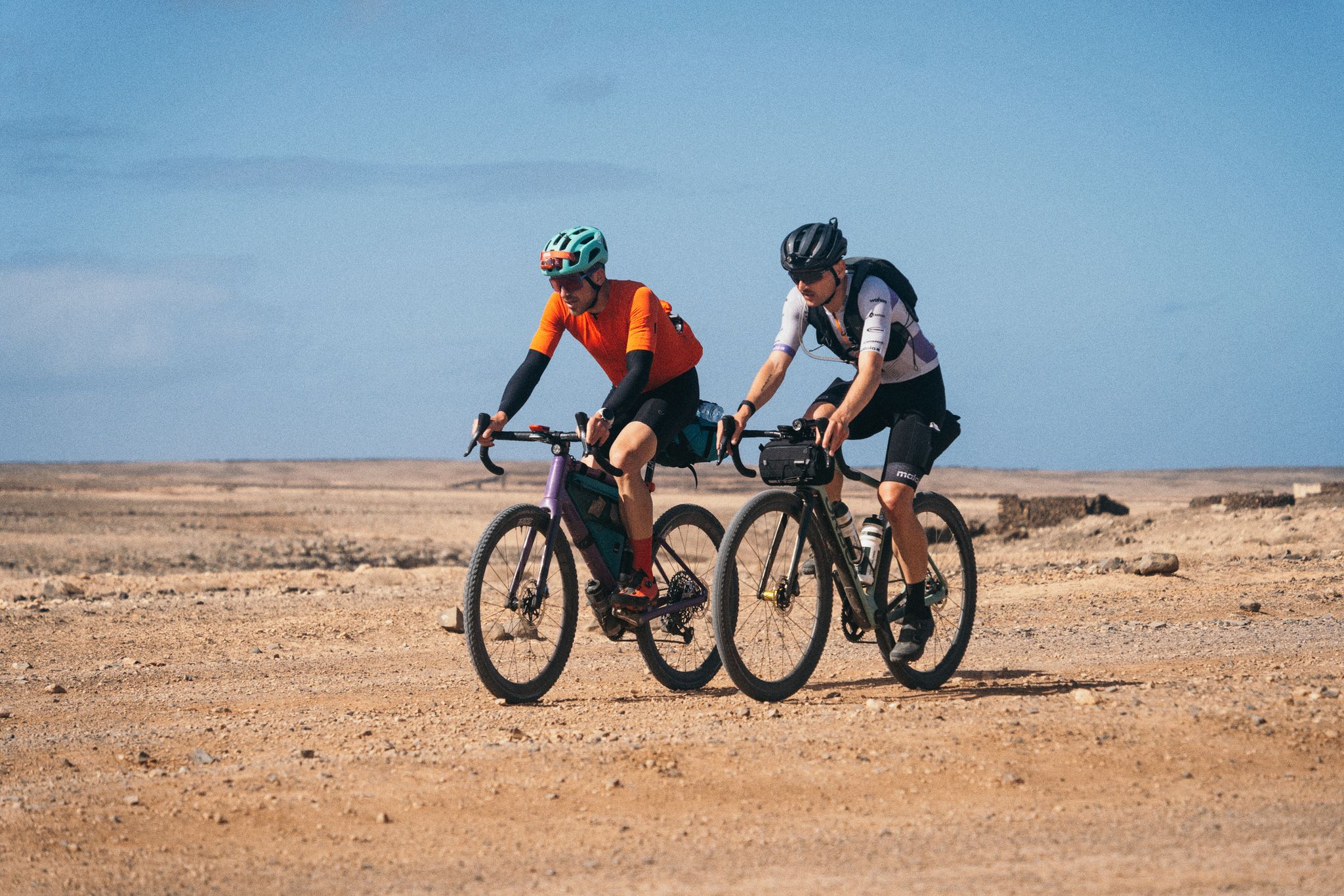
GranGuanche Audax Gravel — five islands in two and a half days
Other adventures around Isla De Hierro


Tips from the Community

The Cueva del Caracol was once the first chapel of the Virgen de Los Reyes.
0
0

Very nice view into a very Canary Islands-typical volcanic crater
0
0
The chapel of the island's patron saint. She is said to have provided rainwater during droughts.
0
0
Spectacularly grown windbreak, symbolic tree of El Hierro
1
0

At 1,230 m above sea level, it offers one of the most spectacular views of El Hierro: El Golfo Bay, the north coast, and a tapestry of vineyards, pineapple and banana trees. It has parking, a rest area, and picnic tables, perfect for enjoying the natural beauty. Next to the Hermitage of Our Lady of Charity, it is also the starting point of the historic Jinama Trail and routes such as the Volcano Trail, which invite you to explore volcanic landscapes and unique corners of the island.
1
0
One of the most spectacular balconies on El Hierro, where the laurel forest opens up to offer views of the Gulf and the highest cliffs in the Canary Islands. The contrast between the humid green of the forest and the endless blue of the Atlantic is unforgettable. It's part of one of the most beautiful hiking trails on the island, and on clear days, the horizon seems endless.
1
0

A spectacular path has been created here. Just for us, the hikers. Many thanks to the path sponsors!
0
0

Good starting point for a road bike tour. Public toilets and a small beach bar
1
0
Frequently Asked Questions
How many hiking trails are available on Isla De Hierro?
Isla De Hierro offers a comprehensive network of over 330 hiking trails. These routes cater to various skill levels, with approximately 80 easy trails, nearly 200 moderate options, and over 60 more challenging paths.
What kind of terrain can I expect when hiking on Isla De Hierro?
Hikers on Isla De Hierro will encounter incredibly diverse terrain, shaped by its volcanic origins. Expect rugged volcanic fields, dramatic cliffs, and ancient forests, including humid laurisilva and unique wind-sculpted juniper trees. The island also features stunning coastal paths and higher elevations with panoramic views.
Are there any easy hiking trails suitable for beginners or families on Isla De Hierro?
Yes, Isla De Hierro has many easy trails perfect for beginners or families. For example, the Sendero del Mirador Roque Gaviotas — circular desde Tamaduste is an easy 4 km (2.5 miles) route. Another accessible option is the Guinea Ecomuseum to Pozo de Los Padrones Trail, which is 6.9 km (4.3 miles) and also rated easy.
What are some notable natural features or landmarks I can see along the hiking trails?
Isla De Hierro is rich in natural wonders. You can hike to the island's highest point, Malpaso Peak, for expansive views. The La Peña Viewpoint, designed by César Manrique, offers spectacular vistas of the El Golfo Valley. Other highlights include the unique wind-sculpted juniper trees in El Sabinar, the ancient laurel forests of La Llanía, and the natural volcanic pools like Charco Azul along the coast.
Are there any circular hiking routes on Isla De Hierro?
Yes, many trails on Isla De Hierro are circular, offering convenient starting and ending points. Popular circular routes include El Sabinar de La Dehesa – circular route, which explores the iconic juniper trees, and Sendero Arenas Blancas to El Verodal – circular, offering coastal volcanic landscapes.
What do other hikers enjoy most about hiking on Isla De Hierro?
The hiking trails on Isla De Hierro are highly rated by the komoot community, with an average score of 4.5 stars from over 2,000 reviews. Hikers frequently praise the island's unspoiled natural beauty, the dramatic and diverse landscapes, and the tranquility found away from crowded tourist hubs. The well-marked trails through ancient forests and along rugged coastlines are particularly appreciated.
Can I bring my dog on the hiking trails?
While many trails on Isla De Hierro are suitable for dogs, it's always recommended to check specific trail regulations before heading out, as some protected natural areas might have restrictions. Ensure your dog is on a leash and that you carry water for both of you, especially on longer or more exposed routes.
What is the best time of year to go hiking on Isla De Hierro?
Isla De Hierro enjoys a mild year-round climate, making it an excellent hiking destination in any season. However, the spring (March to May) and autumn (September to November) months often offer the most pleasant temperatures and fewer crowds, ideal for exploring the diverse landscapes.
Are there any trails that pass by cultural or historical sites?
Yes, some trails on Isla De Hierro integrate cultural and historical elements. You can encounter the historic Orchilla Lighthouse, which once marked the prime meridian, or explore the enigmatic Sacred Tree of Garoé. The ancient Petroglyphs at El Julán also add a cultural dimension to the natural exploration.
Is public transport available to reach trailheads, or is a car necessary?
While public transport options exist on Isla De Hierro, they can be limited, especially to more remote trailheads. Renting a car often provides the most flexibility and convenience for accessing various hiking routes across the island. Some popular starting points may have bus stops, but schedules should be checked in advance.
Are there any trails that feature natural pools or coastal views?
Absolutely. Isla De Hierro's coastline is dotted with remarkable natural pools formed by volcanic rock. Trails like the Sendero Arenas Blancas to El Verodal – circular offer stunning coastal volcanic landscapes. You can also visit popular natural pools such as Charco Azul, known for its turquoise waters, and La Maceta, which are often accessible via short walks or trails.
Are there any trails that offer views of other Canary Islands?
Yes, on clear days, the island's higher peaks and viewpoints provide expansive vistas that can include neighboring islands like La Palma, Tenerife, and La Gomera. The Malpaso Peak, being the highest point, is particularly renowned for its colossal panoramic views.
Most popular routes around Isla De Hierro
Most popular attractions around Isla De Hierro

Get inspired with the komoot mobile app


Didn’t find what you were looking for?
Check out more Hikes throughout Isla De Hierro below and find the perfect route in your destination.
Explore more
Browse the best Hikes in other regions.
