The best mountain hikes around Lej da Champfèr
5.0
(38)
433
hikers
29
hikes
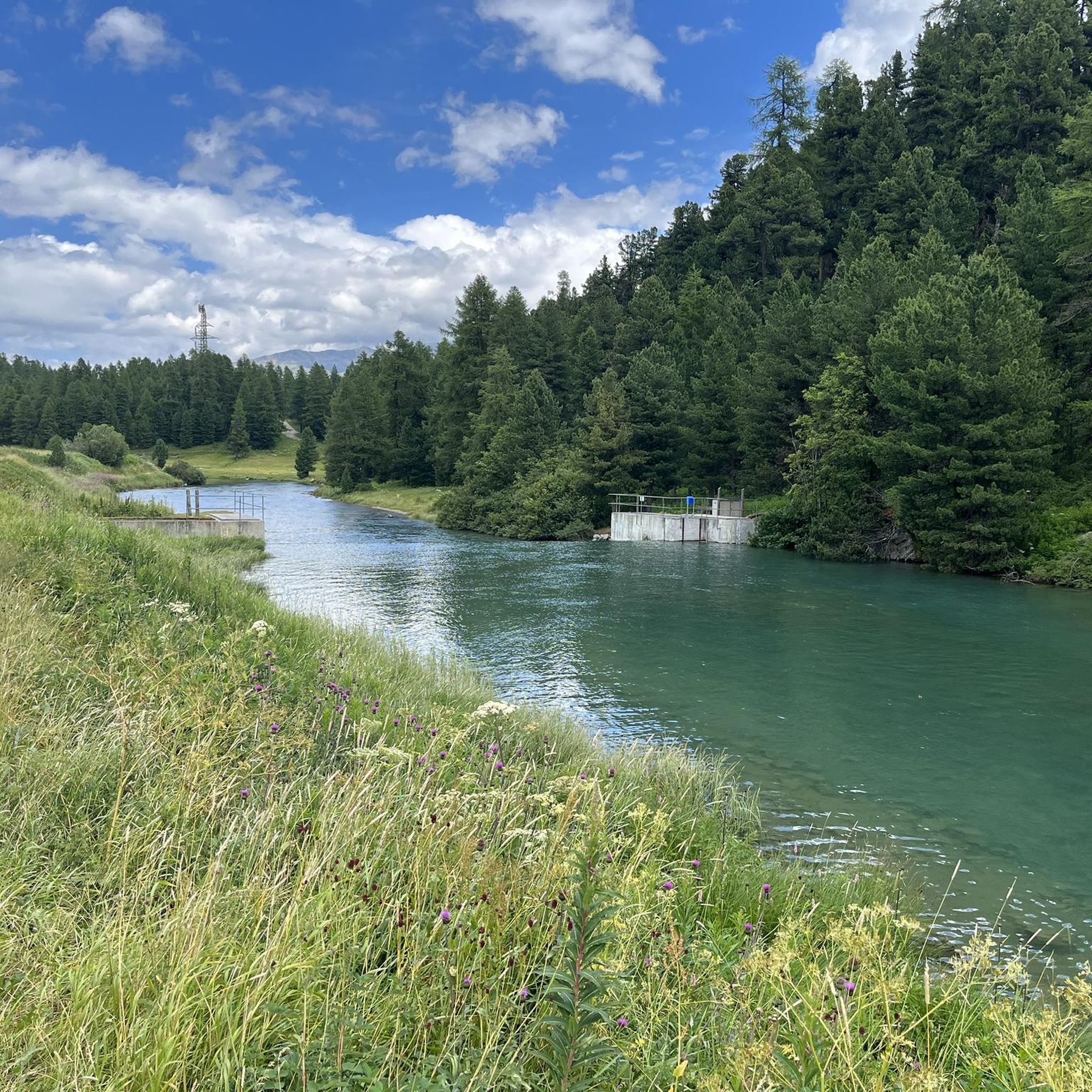
Mountaineering routes around Lej da Champfèr traverse a diverse landscape in the Engadin Valley, characterized by an alpine lake, surrounding peaks, and dense forests. The region features interconnected waterways, including the Inn River, and glacial minerals contribute to the distinctive turquoise hue of the lake. This area offers a wide array of challenging trails with significant elevation gains, catering to various skill levels.
Best mountaineering routes around Lej da Champfèr
- The most popular mountaineering route is View of Lake Silvaplana…
Last updated: October 1, 2026
5.0
(1)
7
hikers
10.7km
03:10
200m
200m
Moderate mountaineering route. Good fitness required. Mostly accessible paths. Sure-footedness required.
5.0
(1)
10
hikers
17.4km
07:13
990m
990m
Hard mountaineering route. Very good fitness required. Mostly accessible paths. Sure-footedness required.

5.0
(2)
3
hikers
7.41km
02:59
420m
420m
Moderate mountaineering route. Good fitness required. Mostly accessible paths. Sure-footedness required.
5.0
(5)
56
hikers
9.69km
06:51
1,120m
1,120m
Hard mountaineering route. Very good fitness required. Sure-footedness, sturdy shoes and alpine experience required.
5.0
(5)
56
hikers
9.69km
06:51
1,120m
1,120m
Hard mountaineering route. Very good fitness required. Sure-footedness, sturdy shoes and alpine experience required.
Get access to more routes and recommendations from other explorers.
Already have an account?
Our route recommendations are based on thousands of hikes, rides, and runs completed by other people on komoot.
Start today with a free account
Your next adventure awaits.

Tips from the Community

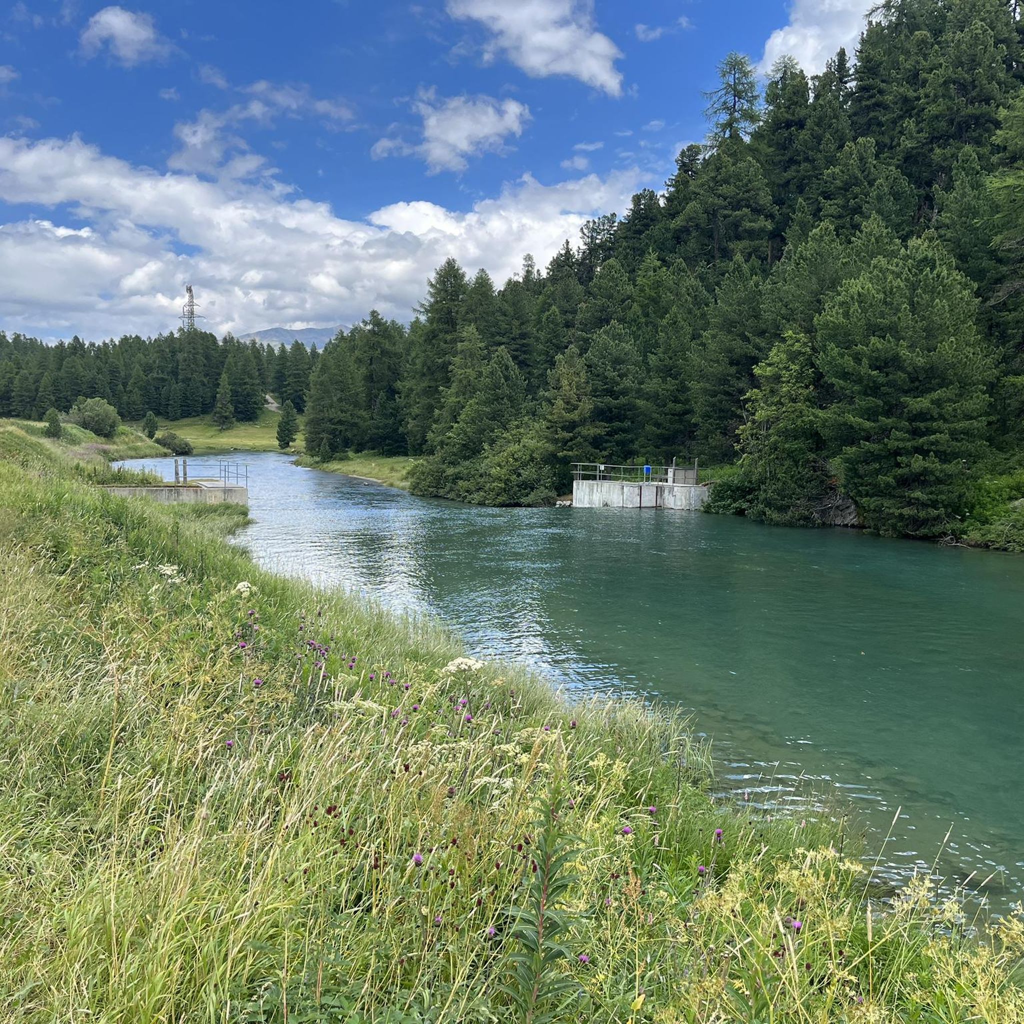
Wonderful lake, popular with water sports enthusiasts, very nice path along the lake on the east bank.
0
0

The owners of the Hahnensee mountain restaurant also rent out this hunting lodge. We might try it next time (with a hot tub 😉
1
0


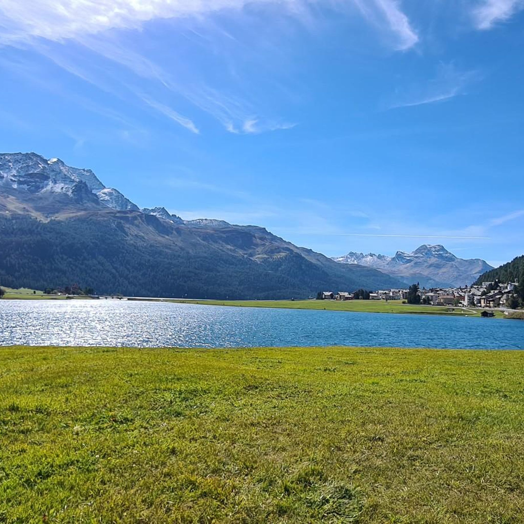
Lake Silvaplana, located in the Upper Engadine, is a natural jewel nestled among the majestic Swiss Alps. Famous for its constant winds, particularly the "Malojawind," it is a true paradise for lovers of water sports, such as windsurfing and kitesurfing. In summer, its crystal-clear waters reflect the peaks of Piz Corvatsch, creating breathtaking views. In winter, the frozen lake transforms into a vast natural rink for skating, cross-country skiing, and even horse racing. A place that enchants in every season.
1
0

Always bring warm clothes
1
1

A barley soup with sausage, a rösti with egg... Be careful, take cash with you. Check the opening hours.
1
0

Wonderful place to take a break and enjoy the beautiful views over Lake Lake Silvaplana. The Upper Engadine Lake landscape is a beautiful area for hiking admidst the mountain panorama of the Eastern Alps.
1
0

Walking this trail above Lake Silvaplana, you will have a breathtaking view of the turquoise waters, the result of glacial minerals, framed by imposing Alpine mountains. From here, you can also admire the peak of the nearby Corvatsch mountain.
4
0
Frequently Asked Questions
How many mountaineering routes are available around Lej da Champfèr?
There are over 30 mountaineering routes around Lej da Champfèr, offering a diverse range of experiences for different skill levels. The komoot community has explored these trails over 400 times, highlighting their popularity.
What are the typical difficulty levels for mountaineering routes in this region?
The routes around Lej da Champfèr primarily range from moderate to difficult. There are 10 moderate routes and 20 difficult routes available. Challenging options like the Hahnensee – Fuorcla Surlej, 2753m loop from Champfèr require very good fitness and alpine experience, while moderate trails like the Hahnensee loop from Sankt Moritz offer a less strenuous, yet rewarding experience.
Are there any family-friendly mountaineering options around Lej da Champfèr?
While many routes are moderate to difficult, some of the moderate trails can be suitable for families with older children who have some hiking experience and good fitness. For instance, the View of Lake Silvaplana – Lake Silvaplana loop from Silvaplana is a moderate route that offers beautiful views without extreme elevation gains.
What kind of natural features and landmarks can I expect to see along the routes?
The region is rich in natural beauty, featuring the serene turquoise waters of Lej da Champfèr and Lake Silvaplana, dense forests, and majestic surrounding peaks like Piz Corvatsch. You might also encounter historical points of interest such as the Crap da Sass Castle, or enjoy stunning vistas from viewpoints like View of Champfèr and Piz Nair.
Are there any circular mountaineering routes available?
Yes, many of the mountaineering routes around Lej da Champfèr are designed as loops, allowing you to start and end in the same location. Examples include the challenging Fuorcla Albana (2870 m) – Piz Julier Summit loop from Chamanna dal Stradin and the scenic View of Val Fex loop from Seglias.
What is the best time of year for mountaineering in the Lej da Champfèr area?
The summer months are ideal for mountaineering around Lej da Champfèr, offering pleasant weather and clear trails. The region's diverse landscapes are particularly striking during this time, with the lakes reflecting the surrounding peaks. While winter offers opportunities for snow activities, dedicated mountaineering typically occurs in the warmer seasons.
What are the typical durations for mountaineering routes in this area?
Route durations vary significantly based on difficulty and distance. Moderate routes, such as the View of Lake Silvaplana – Lake Silvaplana loop from Silvaplana, can take around 3 hours. More challenging routes, like the Hahnensee – Fuorcla Surlej, 2753m loop from Champfèr, can extend to 7 hours or more, requiring good stamina and preparation.
What do other mountaineers enjoy most about the routes around Lej da Champfèr?
The area is highly rated by the komoot community, with an average score of 5.0 stars from over 30 reviews. Mountaineers often praise the stunning alpine scenery, the diverse terrain ranging from lakeside paths to high mountain passes, and the well-maintained trails that offer both challenging ascents and rewarding views.
Are there options for parking or public transport access to the trailheads?
The villages surrounding Lej da Champfèr, such as Champfèr, Silvaplana, and St. Moritz, serve as excellent starting points for many routes. These villages typically offer parking facilities and are well-connected by public transport, making it convenient to access various trailheads.
What makes the landscape around Lej da Champfèr unique for mountaineering?
The region's unique appeal lies in its combination of serene alpine lakes, like Lej da Champfèr itself, and the dramatic backdrop of the Engadin Valley's peaks. The distinctive turquoise hue of the water, influenced by glacial minerals, and the interconnected waterways, including the Inn River, create a visually stunning and varied environment for mountaineering.
Are there any nearby villages or amenities for mountaineers?
Yes, the nearby villages of Champfèr, Silvaplana, and St. Moritz offer a range of amenities. You'll find cafes, restaurants, and accommodation options in these areas, providing convenient places to refuel and relax before or after your mountaineering adventures.
Most popular routes around Lej da Champfèr
Most popular attractions around Lej da Champfèr

Get inspired with the komoot mobile app


Explore more
Browse the best Mountain Hikes & Routes in other regions.
