The best mountain hikes around Durnholzer Lake - Lake di Valdurna
4.7
(32)
292
hikers
11
hikes
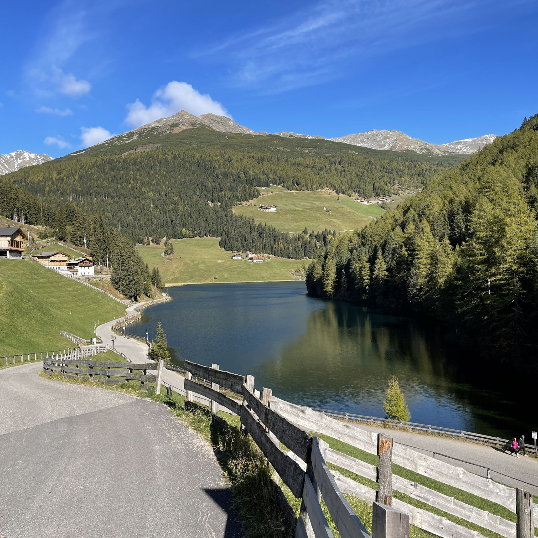
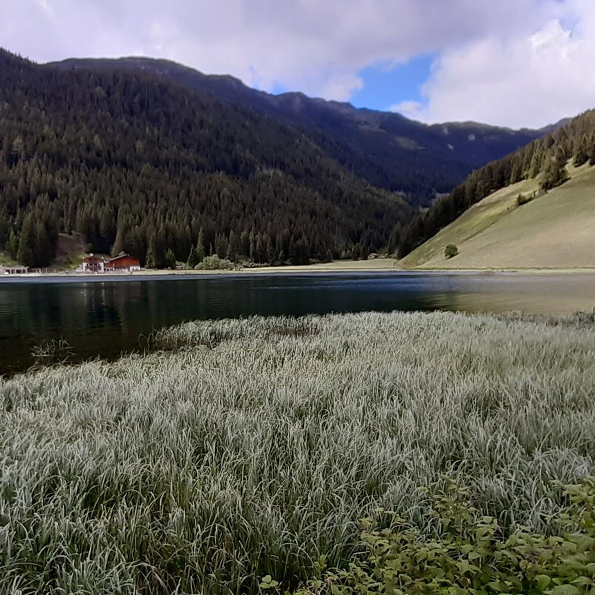
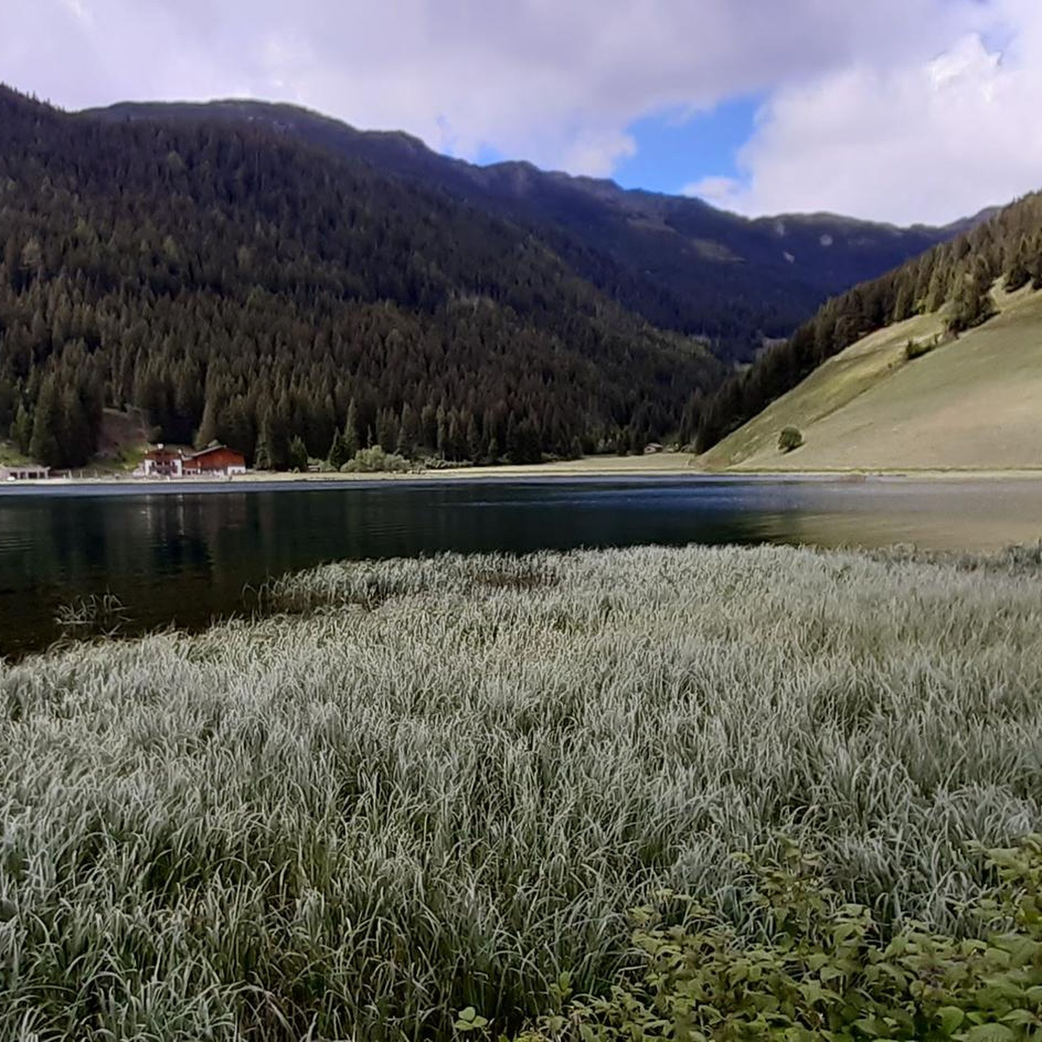
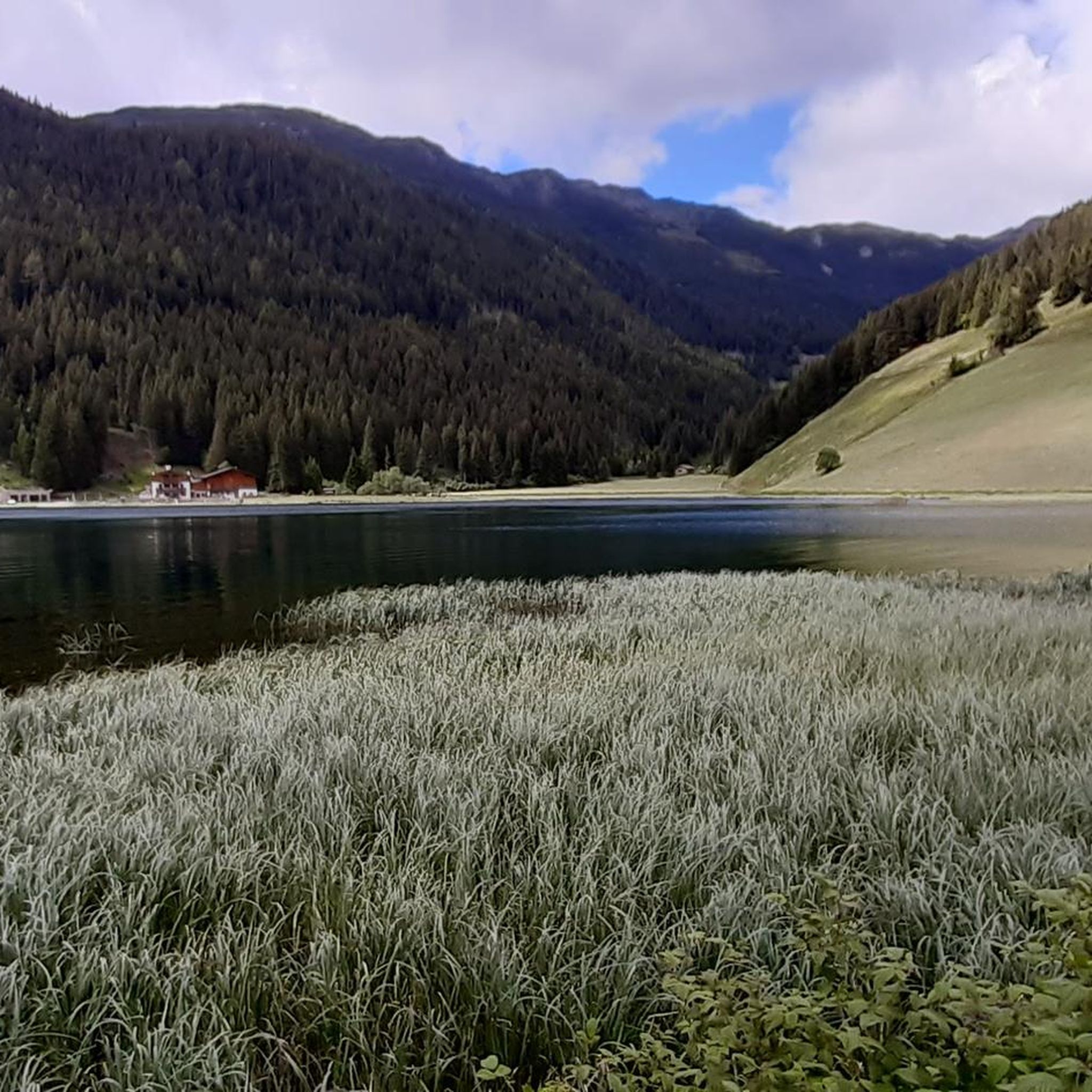
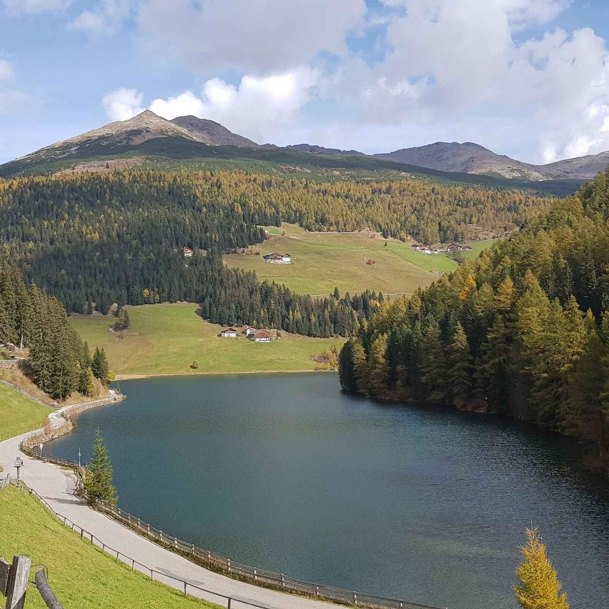
Mountaineering routes around Durnholzer Lake - Lake di Valdurna are situated in the Sarntal Alps of South Tyrol, Italy, at an altitude of 1,545 meters. The region features a triangular mountain lake surrounded by thick forests and expansive alpine meadows. It offers diverse alpine panoramas with peaks like Cima Capra (2,563 m a.s.l.) forming a prominent backdrop for mountaineering activities. The area is characterized by its tranquil, car-free environment, enhancing the natural experience.
Best mountaineering routes around Durnholzer Lake - Lake di Valdurna
- The most popular mountaineering route is Mountain Panorama – Jakobsspitze Summit loop from Durnholz - Valdurna, a 9.7 miles (15.6 km) difficult trail that takes 7 hours 39 minutes to complete. This route offers extensive mountain panoramas and a challenging summit experience.
- Another top favourite among local mountaineers is Schrotthorn Summit loop from Durnholz - Valdurna, a difficult 10.0 miles (16.1 km) path. This loop provides sustained ascents through alpine terrain, leading to impressive summit views.
- Local mountaineers also love the Jakobsspitze Summit – Mountain Panorama loop from Durnholz - Valdurna, a 9.8 miles (15.7 km) trail leading through high alpine landscapes, often completed in about 7 hours 38 minutes.
- Mountaineering around Durnholzer Lake - Lake di Valdurna is defined by the Sarentino Alps, thick forests, and alpine meadows. The network offers options for both moderate and difficult ability levels, with 5 moderate and 11 difficult routes available.
- The routes in Durnholzer Lake - Lake di Valdurna are highly rated by the komoot community with an average score of 4.7 stars from over 33 reviews. More than 339 mountaineers have used komoot to explore Durnholzer Lake - Lake di Valdurna's varied terrain.
Last updated: October 10, 2026
16
hikers
15.5km
07:37
1,170m
1,170m
Hard mountaineering route. Very good fitness required. Sure-footedness, sturdy shoes and alpine experience required.
5.0
(1)
5
hikers
16.1km
06:37
1,040m
1,040m
Hard mountaineering route. Very good fitness required. Sure-footedness, sturdy shoes and alpine experience required.

5.0
(1)
34
hikers
19.4km
07:59
1,230m
1,230m
Hard mountaineering route. Very good fitness required. Sure-footedness, sturdy shoes and alpine experience required.
4.0
(2)
14
hikers
13.3km
04:24
660m
660m
Moderate mountaineering route. Good fitness required. Easily-accessible paths. Suitable for all skill levels.
5.0
(1)
8
hikers
11.7km
03:57
600m
600m
Moderate mountaineering route. Good fitness required. Easily-accessible paths. Suitable for all skill levels.
Get access to more routes and recommendations from other explorers.
Already have an account?
Our route recommendations are based on thousands of hikes, rides, and runs completed by other people on komoot.
Start today with a free account
Your next adventure awaits.
Popular around Durnholzer Lake - Lake di Valdurna
Tips from the Community

The start of the hike to the summit of the Weisshorn
0
0
From up here the sky feels closer. Immense panoramas
0
0
Path with gradients up to 50%. Some sections equipped with steel ropes. To be walked only with a steady foot and no fear of heights.
0
0
Small lake suffering from lack of water.
0
0

From here it is not far to the Schrotthorn.
0
0
Beautiful, lonely summit that is always worth a visit.
0
0

The small village of Durnholz, located on the lake, is car-free. There is a parking lot in front of the village.
0
0

We fortified ourselves with a delicious farmer's omelet here today after our hike up the Tatschspitze. Highly recommended.
1
0
Frequently Asked Questions
How many mountaineering routes are available around Durnholzer Lake - Lake di Valdurna?
There are 16 mountaineering routes around Durnholzer Lake - Lake di Valdurna. These include 5 moderate and 11 difficult trails, offering a range of challenges for different skill levels.
What do other mountaineers enjoy most about the routes around Durnholzer Lake - Lake di Valdurna?
The area is highly rated by the komoot community, with an average score of 4.7 stars from over 33 reviews. Mountaineers often praise the extensive mountain panoramas, the challenging ascents through alpine terrain, and the tranquil, car-free environment that enhances the natural experience.
Are there any mountaineering routes suitable for beginners around Durnholzer Lake - Lake di Valdurna?
While many routes are classified as difficult, there are 5 moderate mountaineering routes available. These trails offer a less strenuous introduction to the alpine environment, allowing beginners to enjoy the stunning scenery without extreme technical demands. For example, a family-friendly hike leads to the Seeb Hut, providing a good starting point.
Can I find circular mountaineering routes near Durnholzer Lake - Lake di Valdurna?
Yes, several routes are designed as loops, allowing you to start and end in the same location. A popular example is the Mountain Panorama – Jakobsspitze Summit loop from Durnholz - Valdurna, which offers extensive mountain views. Another option is the Alpenrosenhof, Penser Pass – Sarner Weißhorn Summit Cross loop from Asten - Laste.
What natural landmarks or points of interest can I see while mountaineering near Durnholzer Lake - Lake di Valdurna?
The region is rich in natural beauty. You'll encounter the idyllic Durnholzer Lake itself, surrounded by thick forests and alpine meadows. Peaks like Cima Capra (Hohe Scheibe) offer breathtaking views. The area also features the Forcella Vallaga ridge and the Flaggersee, providing diverse alpine panoramas.
Are there any cultural or historical sites to explore in the Durnholzer Lake area?
Beyond the natural beauty, the small hamlet of Durnholz offers cultural insights. You can visit the St. Nicholas Church, which boasts impressive 15th-century frescoes, or the panoramic Wegmann Chapel. These sites provide a glimpse into the traditional life of the South Tyrolean mountains.
Are the mountaineering routes around Durnholzer Lake - Lake di Valdurna suitable for families?
While many mountaineering routes are challenging, the area does offer options suitable for families. A popular family-friendly hike leads to the Seeb Hut, providing a rewarding experience without extreme difficulty. The tranquil, car-free environment around the lake also makes it pleasant for families to explore.
Is Durnholzer Lake - Lake di Valdurna a dog-friendly destination for mountaineering?
Yes, Durnholzer Lake and its surrounding trails are generally dog-friendly. The car-free zone contributes to a peaceful environment for pets. However, it's always advisable to keep dogs on a leash, especially in areas with livestock or wildlife, and to ensure they are well-behaved and capable of handling the terrain.
What are the parking options for accessing mountaineering routes around Durnholzer Lake - Lake di Valdurna?
The area around Durnholzer Lake and the village of Durnholz is largely a car-free zone to preserve its tranquility. Visitors are typically required to park outside the immediate lake area and proceed on foot. Look for designated parking areas at the entrance to the car-free zone.
When is the best time of year to go mountaineering around Durnholzer Lake - Lake di Valdurna?
The best time for mountaineering is generally from late spring to early autumn (May to October) when trails are clear of snow and weather conditions are most stable. However, the region also offers winter activities like ski touring and snowshoe hikes, transforming the landscape into a winter wonderland for those equipped for colder conditions.
Are there any mountain huts along the mountaineering routes for rest or refreshments?
Yes, the presence of local mountain huts provides excellent opportunities for rest and to experience South Tyrolean traditions. For instance, a family-friendly hike leads to the Seeb Hut, offering a welcoming stop during your tour. These huts are perfect for a break and to enjoy local flavors.
What kind of terrain can I expect on the mountaineering routes in this region?
The mountaineering routes around Durnholzer Lake - Lake di Valdurna traverse diverse terrain. You can expect to navigate through thick forests, expansive alpine meadows, and higher alpine landscapes with sustained ascents. The trails often provide panoramic views of the Sarentino Alps, with some routes leading to impressive summits like Jakobsspitze.
Most popular routes around Durnholzer Lake - Lake di Valdurna
Most popular attractions around Durnholzer Lake - Lake di Valdurna

Get inspired with the komoot mobile app


Explore more
Browse the best Mountain Hikes & Routes in other regions.
