The best walks and hikes around Weißbrunnsee - Lake Fontana Bianca
4.7
(5826)
26,865
hikers
216
hikes
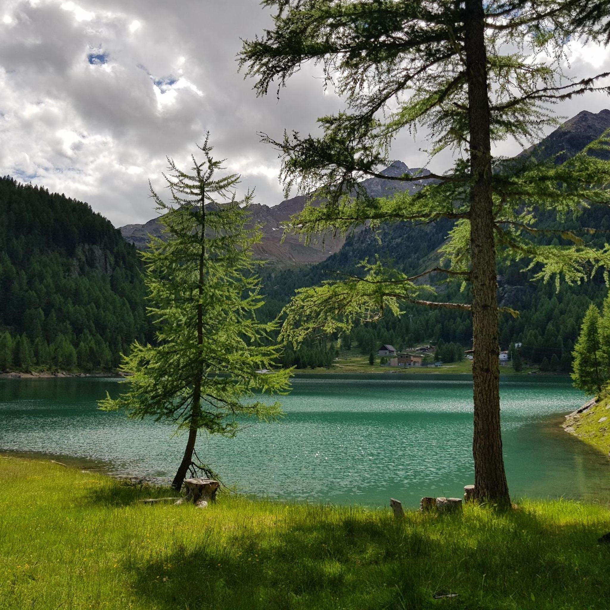
Hiking around Weißbrunnsee - Lake Fontana Bianca offers diverse trails within Italy's South Tyrol, nestled at approximately 1,872 meters above sea level in the rear Val d'Ultimo. The region is characterized by alpine landscapes, towering mountains, and pristine lakes, serving as a gateway to the expansive Stelvio National Park. Trails range from accessible paths to more challenging routes, traversing pine forests and leading to various water features.
Best hiking trails around Weißbrunnsee - Lake Fontana Bianca
- The most popular hiking route is Hike in Val d'Ultimo – loop in Stelvio National Park, a 3.1 miles (5.0 km) moderate trail that takes about 1 hour 59 minutes to complete. This loop offers varied landscapes within the national park.
- Another top favourite among local hikers is Grünsee (Lago Verde) – Oberweißbrunn Lake loop from Weißbrunnsee - Lago Fontana Bianca, a moderate 6.6 miles (10.6 km) path. This route connects several beautiful alpine lakes, providing scenic views.
- Local hikers also love the Fischer Lake Plateau – Fiechter Alpine Hut loop from Weißbrunnsee - Lago Fontana Bianca, a 4.0 miles (6.4 km) trail leading through alpine terrain to a hut, often completed in about 2 hours 14 minutes.
- Hiking around Weißbrunnsee - Lake Fontana Bianca is defined by majestic mountains, diverse lakes, and the expansive Stelvio National Park. The network offers options for various ability levels, from easy walks to more demanding alpine ascents.
- The routes in Weißbrunnsee - Lake Fontana Bianca are highly rated by the komoot community with an average score of 4.7 stars from over 5,400 reviews. More than 25,000 hikers have used komoot to explore Weißbrunnsee - Lake Fontana Bianca's varied terrain.
Last updated: August 5, 2026
4.9
(222)
768
hikers
4.97km
01:59
250m
260m
This moderate hike in Val d'Ultimo offers a beautiful loop through Stelvio National Park, covering 3.1 miles (5.0 km) with an elevation gain of 826 feet (252 metres). You can expect to complete the route in about 1 hour and 59 minutes. As you hike, you will experience untouched nature, steep meadows, and lush forests, with paths winding past crystal-clear mountain lakes and picturesque wooden fences. The trail requires sure-footedness, as some sections may feature uneven or natural surfaces characteristic of mountain environments.
While specific trailhead details are not provided, this route is a popular choice among local hikers, suggesting it is readily accessible within the Ultental Valley. The paths are generally well-maintained, making it suitable for most fitness levels. Always check local conditions before you go, especially regarding weather, as mountain environments can change quickly. This hike is a great way to immerse yourself in the natural beauty of the region without requiring extensive planning.
The Val d'Ultimo is renowned for its pristine natural environment and traditional way of life, forming a significant part of Italy's largest national park. This particular loop encapsulates the quintessential charm of the area, showcasing high mountain meadows and deep forests. The broader Stelvio National Park is known for its diverse alpine landscapes, including glaciers, rocky areas, and forests of Norway spruce, larch, and Swiss pine, along with cascading mountain streams.
4.9
(515)
2,020
hikers
Moderate hike. Good fitness required. Mostly accessible paths. Sure-footedness required.

Sign up for free
4.9
(129)
472
hikers
Moderate hike. Good fitness required. Mostly accessible paths. Sure-footedness required.
5.0
(31)
173
hikers
Moderate hike. Good fitness required. Mostly accessible paths. Sure-footedness required.
4.7
(50)
294
hikers
Moderate hike. Good fitness required. Mostly accessible paths. Sure-footedness required.
Get access to more routes and recommendations from other explorers.
Sign up for free
Already have an account?
Our route recommendations are based on thousands of hikes, rides, and runs completed by other people on komoot.
Start today with a free account
Your next adventure awaits.
Login or Signup
Popular around Weißbrunnsee - Lake Fontana Bianca
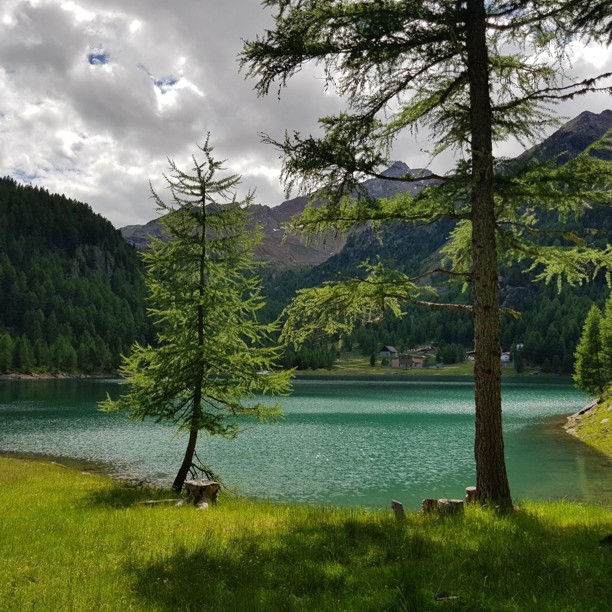
MTB Trails around Weißbrunnsee - Lake Fontana Bianca
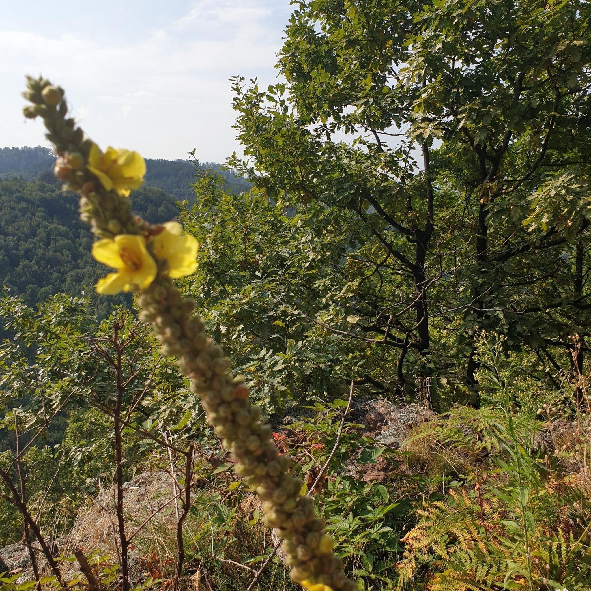
Mountain Hikes around Weißbrunnsee - Lake Fontana Bianca
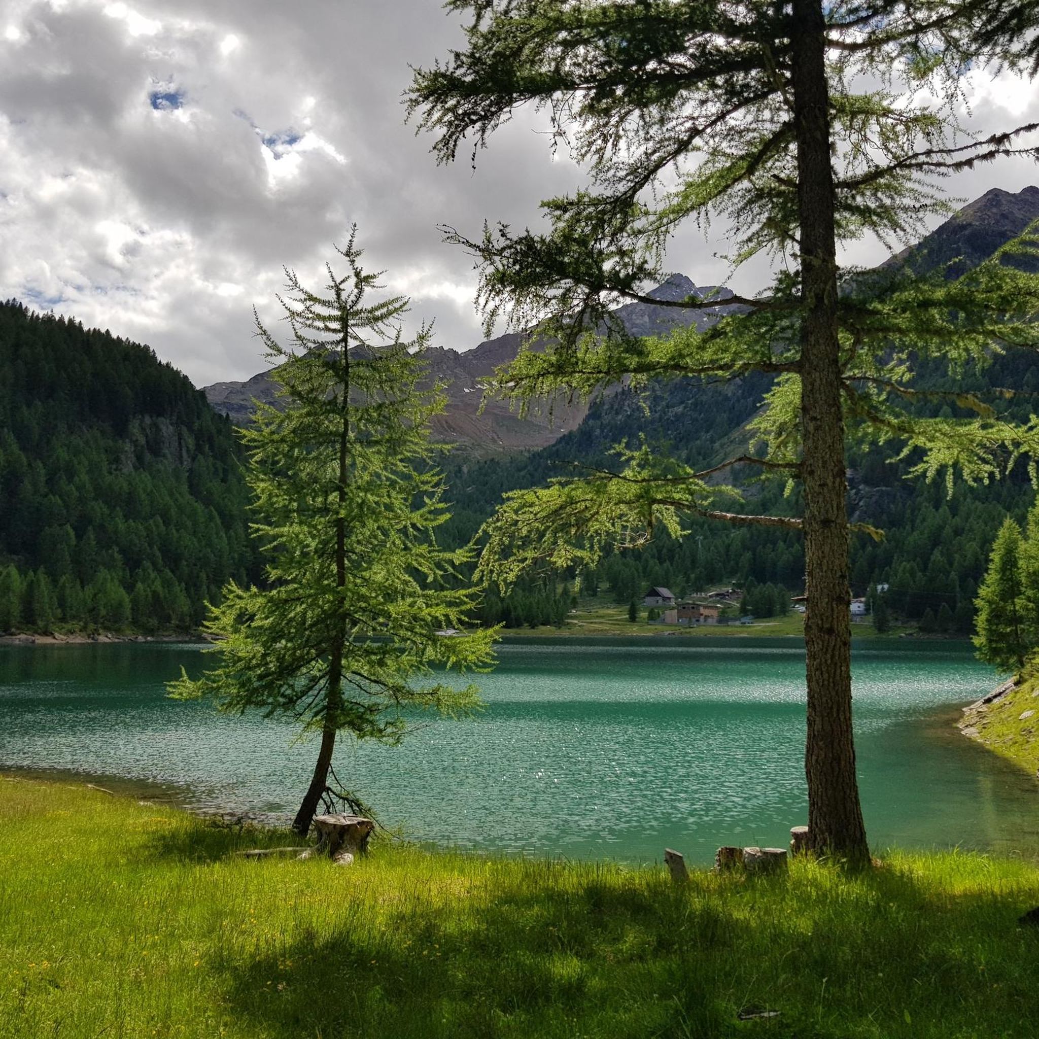
Cycling around Weißbrunnsee - Lake Fontana Bianca
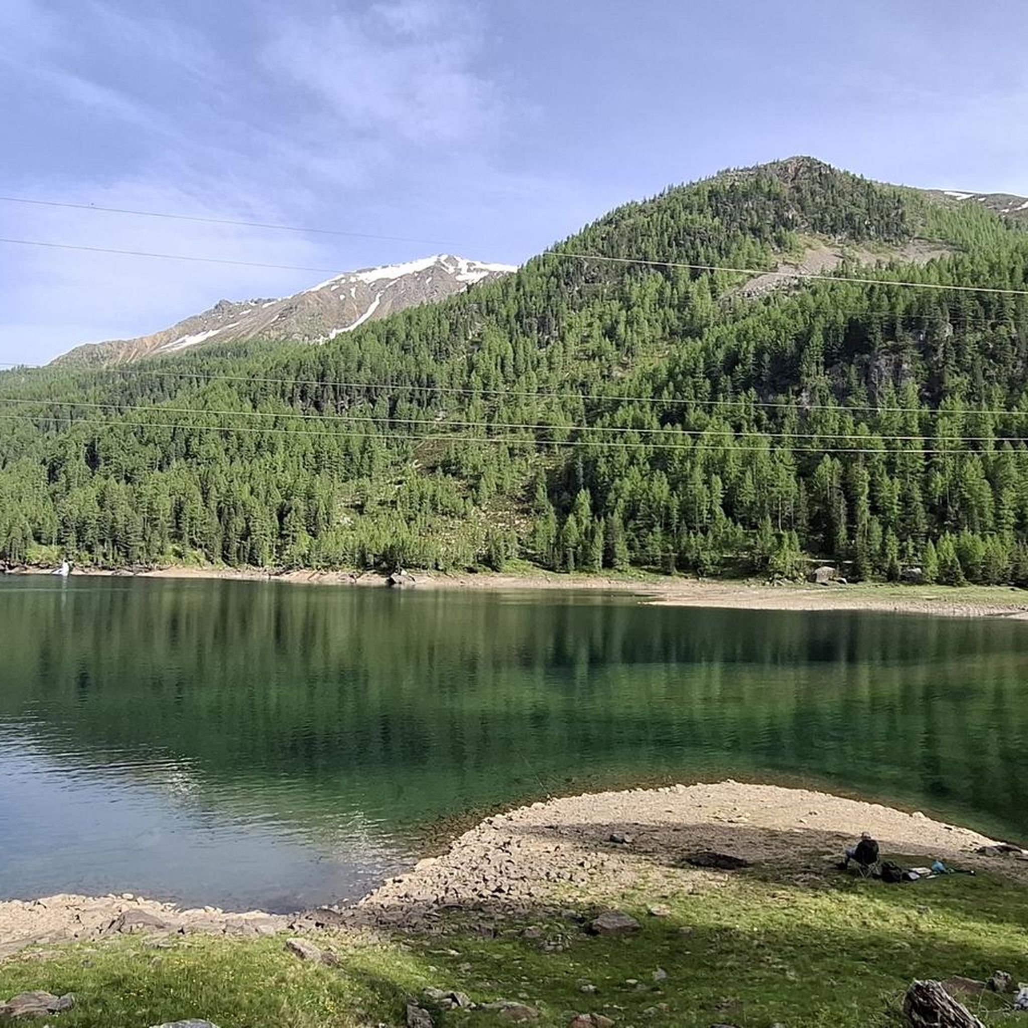
Running Trails around Weißbrunnsee - Lake Fontana Bianca
Road Cycling Routes around Weißbrunnsee - Lake Fontana Bianca

Gravel biking around Weißbrunnsee - Lake Fontana Bianca
Tips from the Community

Uniquely clear and very cold (26.08.14 stayed in the water for only 10 seconds with my feet.
0
0

Sure-footedness and free from dizziness... for magnificent views
0
0


Popular for its miles of hiking trails, this picturesque national park features mountains, valleys, and a lake.
1
0
is the largest nature park in South Tyrol. It is characterized by the enormous diversity of its landscapes and their influence on water.
0
0

The panorama from here is incomparable.
1
0

A very beautiful mountain lake invites you for a break
0
0
Very good food nice staff
0
0
Frequently Asked Questions
How many hiking trails are available around Weißbrunnsee - Lake Fontana Bianca?
The Weißbrunnsee - Lake Fontana Bianca area offers a wide variety of hiking experiences, with over 200 distinct trails. These routes cater to all levels, from easy walks to challenging alpine ascents, all set within the stunning landscapes of the Val d'Ultimo and Stelvio National Park.
What types of terrain and difficulty levels can I expect when hiking here?
Hikers around Weißbrunnsee - Lake Fontana Bianca will encounter diverse terrain, ranging from accessible paths through pine forests to more demanding alpine routes. The area features 35 easy trails, 111 moderate routes, and 68 difficult trails, ensuring options for various fitness levels and experiences. Some routes require good fitness, sure-footedness, and even alpine experience.
Are there any family-friendly hiking options near Weißbrunnsee - Lake Fontana Bianca?
Yes, the region offers several accessible paths suitable for families. While specific routes are not highlighted as 'family-only', the presence of 35 easy trails suggests many options that are less strenuous and can be enjoyed by all ages. These often feature gentle gradients and beautiful scenery, perfect for a family outing.
Can I bring my dog on the hiking trails around Weißbrunnsee - Lake Fontana Bianca?
Many trails in the Weißbrunnsee - Lake Fontana Bianca area, especially those within the Stelvio National Park, are generally dog-friendly. However, it's always recommended to keep dogs on a leash to protect local wildlife and ensure a pleasant experience for all hikers. Please check specific trail regulations if you plan to enter protected areas.
Are there any circular hiking routes available?
Yes, the area is well-suited for circular hikes. For example, the Hike in Val d'Ultimo – loop in Stelvio National Park is a popular moderate loop. Another excellent option is the Grünsee (Lago Verde) – Oberweißbrunn Lake loop from Weißbrunnsee - Lago Fontana Bianca, which connects several beautiful alpine lakes.
What natural features or landmarks can I see along the trails?
The region is rich in natural beauty. Besides the stunning Lake Fontana Bianca itself, you can explore other picturesque lakes like Weissbrunn Lake and Grünsee (Lago Verde). The trails also offer views of majestic mountains, the Valsura river, and the diverse landscapes of Stelvio National Park. You might also encounter the View From the Dam, offering unique perspectives.
What do other hikers enjoy most about the Weißbrunnsee - Lake Fontana Bianca area?
The Weißbrunnsee - Lake Fontana Bianca area is highly rated by the komoot community, with an average score of 4.7 stars from over 5,400 reviews. Hikers frequently praise the stunning alpine landscapes, the variety of trails catering to different abilities, and the pristine beauty of the lakes and surrounding mountains within Stelvio National Park.
What is the best time of year to go hiking around Weißbrunnsee - Lake Fontana Bianca?
The best time for hiking around Weißbrunnsee - Lake Fontana Bianca is typically from late spring to early autumn (roughly June to October), when the trails are clear of snow and the weather is most favorable. During these months, you can fully enjoy the alpine flora and the vibrant colors of the landscape. In winter, the area transforms into a paradise for ski tourers and snowshoe hikers.
Is there parking available at Weißbrunnsee - Lake Fontana Bianca?
Yes, parking is generally available near Weißbrunnsee - Lake Fontana Bianca, serving as a common starting point for many hiking trails. It's advisable to arrive early during peak season to secure a spot, as the area is a popular destination for outdoor enthusiasts.
How can I access Weißbrunnsee - Lake Fontana Bianca using public transport?
While specific public transport routes can vary, the Val d'Ultimo (Ultental) generally offers bus services that can take you closer to Weißbrunnsee. It's recommended to check local bus schedules and routes, especially those connecting from larger towns in South Tyrol, to plan your journey to the lake's vicinity.
Are there any cafes or restaurants near the hiking trails?
Yes, you can find options for refreshments and meals in the vicinity of Weißbrunnsee - Lake Fontana Bianca. Alpine huts, such as the Fiechter Alpine Hut, are often located along or near popular hiking routes, providing opportunities for a break and local cuisine. The Val d'Ultimo also has various establishments.
Are there opportunities for winter activities around Weißbrunnsee - Lake Fontana Bianca?
Absolutely. In winter, the surroundings of Weißbrunnsee - Lake Fontana Bianca become a popular destination for ski tourers and snowshoe hikers. The snow-covered alpine landscape offers a different, yet equally stunning, experience for those seeking winter outdoor adventures.
Most popular routes around Weißbrunnsee - Lake Fontana Bianca
Most popular attractions around Weißbrunnsee - Lake Fontana Bianca

Get inspired with the komoot mobile app


Explore more
Browse the best Hikes in other regions.
