The best mountain hikes around Weißbrunnsee - Lake Fontana Bianca
4.9
(78)
492
hikers
23
hikes
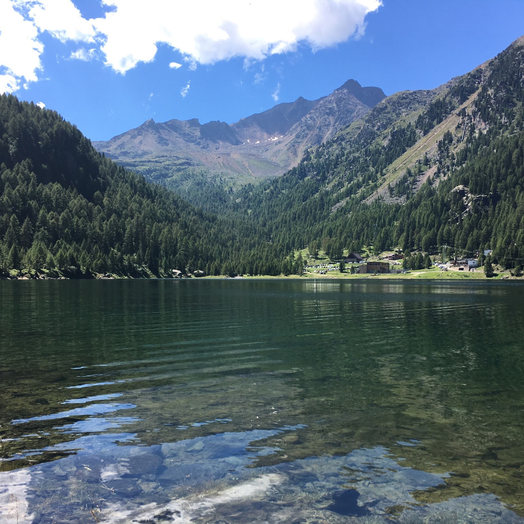
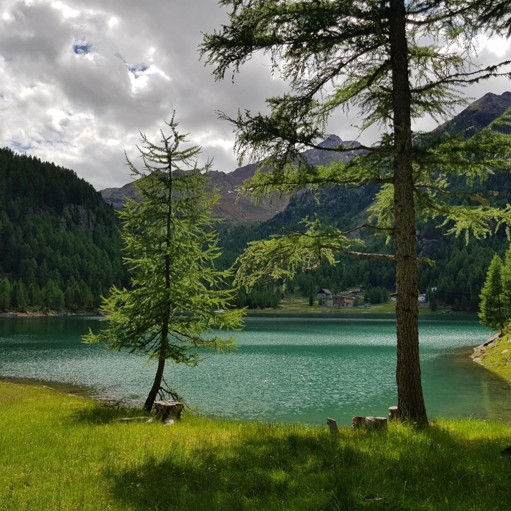
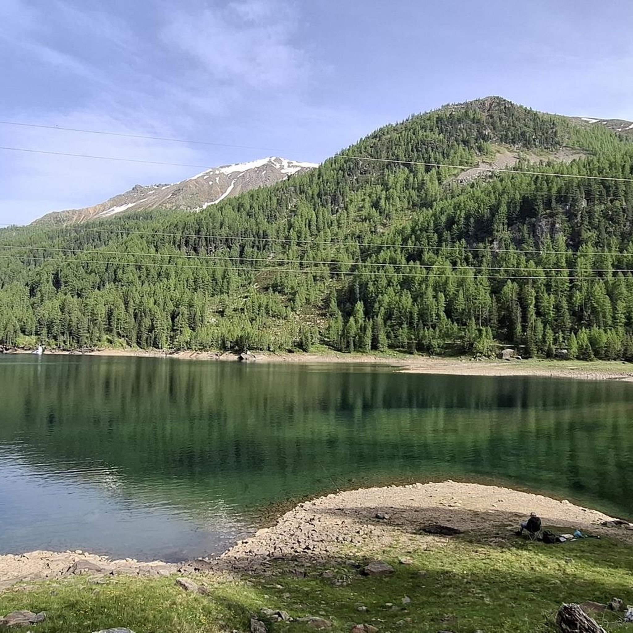
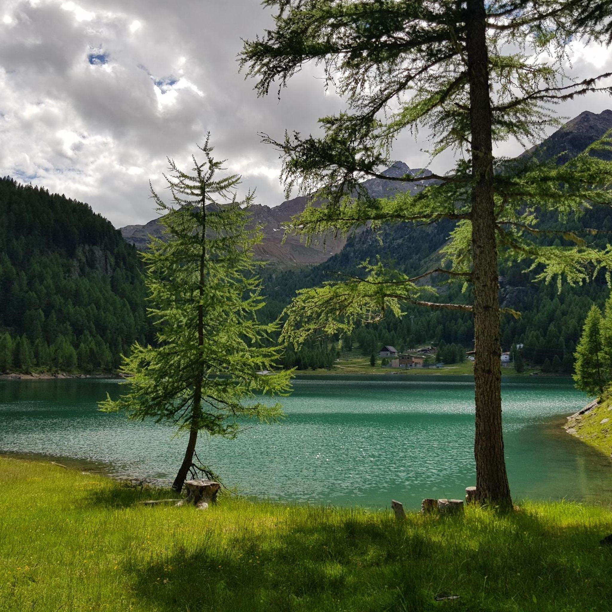
Mountaineering routes around Weißbrunnsee - Lake Fontana Bianca are situated in South Tyrol's Ultental valley, within the extensive Stelvio National Park. This alpine region is characterized by high peaks such as Nagelstein and Cima Fontana Bianca, offering diverse landscapes for ascents. Weißbrunnsee, a mountain reservoir at 1,872 meters above sea level, serves as a primary starting point for various routes. The terrain includes challenging mountain paths leading to huts and other alpine lakes, providing a range of experiences for mountaineers.
…Last updated: May 24, 2026
4.9
(21)
96
hikers
Moderate mountaineering route. Good fitness required. Mostly accessible paths. Sure-footedness required.
5.0
(6)
48
hikers
13.6km
08:01
1,430m
1,430m
Hard mountaineering route. Very good fitness required. Sure-footedness, sturdy shoes and alpine experience required.

Sign up for free
4.8
(6)
35
hikers
13.6km
06:37
1,020m
1,020m
Hard mountaineering route. Very good fitness required. Mostly accessible paths. Sure-footedness required.
5.0
(3)
21
hikers
Moderate mountaineering route. Good fitness required. Mostly accessible paths. Sure-footedness required.
5.0
(1)
11
hikers
Moderate mountaineering route. Good fitness required. Mostly accessible paths. Sure-footedness required.
Get access to more routes and recommendations from other explorers.
Sign up for free
Already have an account?
Our route recommendations are based on thousands of hikes, rides, and runs completed by other people on komoot.
Start today with a free account
Your next adventure awaits.
Login or Signup
Popular around Weißbrunnsee - Lake Fontana Bianca
Tips from the Community


A small summit, accessible only via (exposed) but particularly steep, gravelly paths. It's worth it – especially for the view – but don't underestimate the trail! It's more of an off-the-beaten-path destination...
0
0

The panorama from here is incomparable.
1
0

Over the lake outlet and eastwards up into a hidden high valley, which you leave shortly before the end to the left upwards. Over a short steep step secured with a wire rope, finally over scree, up to the wide southwest ridge. Along this up to the upper end of the Zufrittferner (3262 m). Cross the glacier diagonally eastwards, heading exactly towards the summit structure of the Zufrittspitze (crampons recommended - a must on bare ice). Where you then join the ascent route from the Ultental, on the steep southwest ridge at the beginning somewhat laborious over crumbly walking terrain, finally through a steep gully secured with a steel chain, up to the Zufrittspitze (3439 m). Walking time from Hölderle approx. 8-9 hours, from approx. 3200 meters only scree field.
0
0

I confirm Michl72
1
0

In July the alpine roses bloom particularly beautifully here. This year there is a lot of water everywhere. The tops of the mountains are still covered with snow.
0
0

Wonderful snack. Comfortable seating, delicious food, friendly service. Absolutely top!
2
0

Quiet place to relax.
1
0
Frequently Asked Questions
What types of mountaineering routes are available around Weißbrunnsee - Lake Fontana Bianca?
The region offers a balanced mix of moderate and difficult mountaineering routes. There are 12 moderate and 12 difficult routes, providing options for various experience levels. These routes often lead through high alpine landscapes, past mountain reservoirs, and to challenging ascents within the Stelvio National Park.
Are there any family-friendly mountaineering options near Weißbrunnsee?
While many routes involve significant elevation, some moderate options can be suitable for families with older children or those accustomed to alpine hiking. For example, the Fischersee – Hinter Alpe loop from Weißbrunnsee - Lago Fontana Bianca is a moderate 4.7 km route with less elevation gain, offering a good introduction to the area's beauty.
What are some notable natural features or landmarks to see along the mountaineering routes?
Mountaineering routes often pass by stunning alpine lakes such as Lake Fontana Bianca itself, Grünsee, Oberweißbrunn Lake, and Lake Pescatori (Fischer See). The area is also characterized by majestic mountains and offers access to the diverse landscapes of the Stelvio National Park. You might also encounter man-made features like the Avalanche Protection Tunnel at Lago di Gioveretto or scenic viewpoints like the View From the Dam.
Are there any circular mountaineering routes in the Weißbrunnsee area?
Yes, many routes are designed as loops, allowing you to start and end at the same point. Examples include the Grünsee Reservoir – Höchster Hut loop from Weißbrunnsee - Lago Fontana Bianca, a moderate 10.6 km route, or the more challenging Gleck Colleccio Summit – Oberweißbrunn Lake loop from Weißbrunnsee - Lago Fontana Bianca, which covers 13.6 km through high alpine terrain.
What is the best time of year for mountaineering around Weißbrunnsee - Lake Fontana Bianca?
The best time for mountaineering is typically during the warmer months, from late spring to early autumn, when trails are clear of snow and weather conditions are more stable. The region transforms into a winter wonderland for ski tours and snowshoeing during the colder months, offering a different kind of alpine experience.
What do other mountaineers say about the routes in Weißbrunnsee - Lake Fontana Bianca?
The mountaineering routes in Weißbrunnsee - Lake Fontana Bianca are highly rated by the komoot community, with an average score of 4.9 stars from over 80 reviews. Mountaineers often praise the stunning alpine scenery, the challenging ascents, and the well-maintained paths leading to various huts and lakes.
Are there any challenging mountaineering routes for experienced climbers?
Absolutely. For experienced mountaineers, routes like the Höchster Hut – Grünsee Reservoir loop from Weißbrunnsee - Lago Fontana Bianca present a significant challenge. This difficult 13.6 km path features substantial elevation gain through rugged alpine terrain, offering a demanding and rewarding experience.
What is the typical duration for mountaineering routes in this area?
Route durations vary significantly based on difficulty and distance. Moderate routes like the Hinter Alpe – Nagelstein loop from Weißbrunnsee - Lago Fontana Bianca can take around 3 hours 32 minutes, while more difficult and longer routes, such as the Gleck Colleccio Summit loop, might require about 6 hours 36 minutes to complete.
Is there parking available for mountaineering trailheads at Weißbrunnsee?
Weißbrunnsee - Lake Fontana Bianca serves as a primary starting point for many routes, and parking facilities are generally available in the vicinity, often referred to as 'Wanderparkplatz Weißbrunnsee'. It's advisable to arrive early during peak season to secure a spot.
Can I reach the mountaineering trailheads by public transport?
The Val d'Ultimo (Ultental) region, where Weißbrunnsee is located, generally has public transport connections. While direct access to every trailhead might vary, buses often serve the main villages and points of interest within the valley, from which you might connect to Weißbrunnsee. It's recommended to check local bus schedules for the most up-to-date information.
Are there mountain huts or places to rest along the routes?
Yes, the region features several mountain huts that provide resting points and can be destinations for hikes. The Fiecht Mountain Hut (Malga dei Pini) and the Canziani Hut at the Green Lake are examples of such facilities, offering places to stop and enjoy the alpine environment.
Most popular routes around Weißbrunnsee - Lake Fontana Bianca
Most popular attractions around Weißbrunnsee - Lake Fontana Bianca

Get inspired with the komoot mobile app


Explore more
Browse the best Mountain Hikes & Routes in other regions.
