The best road cycling routes around Réserve naturelle de Prats-de-Mollo-la-Preste
4.7
(11)
1,317
riders
13
rides
Road cycling routes around Réserve naturelle de Prats-de-Mollo-la-Preste navigate a mountainous landscape characterized by significant elevation changes and winding roads. The region, situated in the Pyrénées-Orientales, features a mix of forested areas, river valleys, and high mountain passes. Road cyclists can expect challenging climbs and descents, with routes often leading through natural parkland.
Best road cycling routes around Réserve naturelle de Prats-de-Mollo-la-Preste
- The most popular road cycling route is Prats-de-Mollo-la-Preste – Prats de Mollo loop from La Preste, a…
Last updated: May 20, 2026
4.5
(6)
479
riders
46.8km
02:50
1,220m
1,210m
Hard road ride. Very good fitness required. Mostly well-paved surfaces and easy to ride.
60
riders
24.5km
01:43
890m
890m
Moderate road ride. Good fitness required. Mostly well-paved surfaces and easy to ride.

Sign up for free
59
riders
72.3km
04:30
1,630m
1,630m
Hard road ride. Very good fitness required. Mostly well-paved surfaces and easy to ride.
21
riders
29.7km
01:51
840m
840m
Moderate road ride. Good fitness required. Mostly well-paved surfaces and easy to ride.
15
riders
49.6km
02:49
1,140m
1,140m
Hard road ride. Very good fitness required. Mostly well-paved surfaces and easy to ride.
Get access to more routes and recommendations from other explorers.
Sign up for free
Already have an account?
Our route recommendations are based on thousands of hikes, rides, and runs completed by other people on komoot.
Start today with a free account
Your next adventure awaits.
Login or Signup
Popular around Réserve naturelle de Prats-de-Mollo-la-Preste

Haute Route Pyrénéenne – Pyrenees Crossing
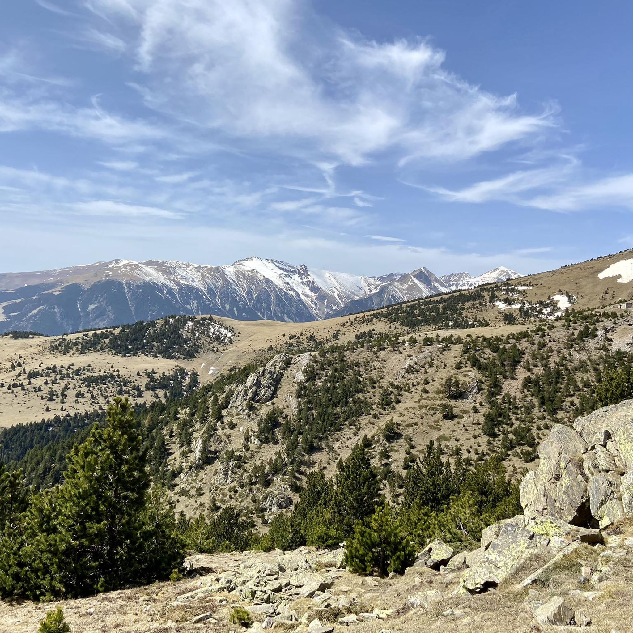
Running Trails around Réserve naturelle de Prats-de-Mollo-la-Preste
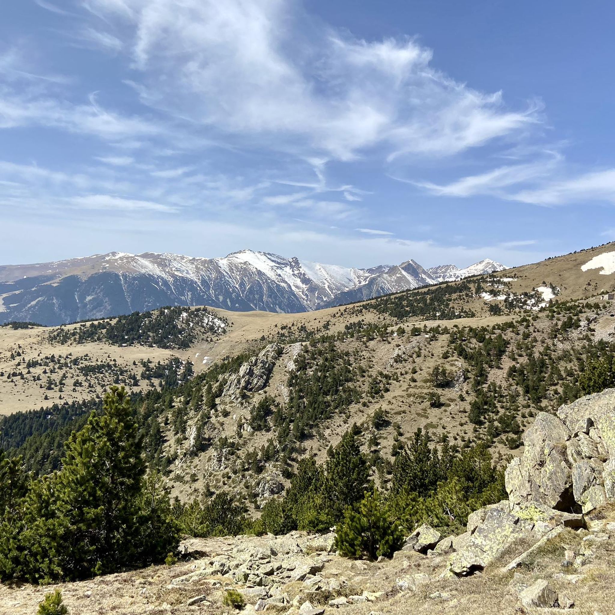
Hiking around Réserve naturelle de Prats-de-Mollo-la-Preste
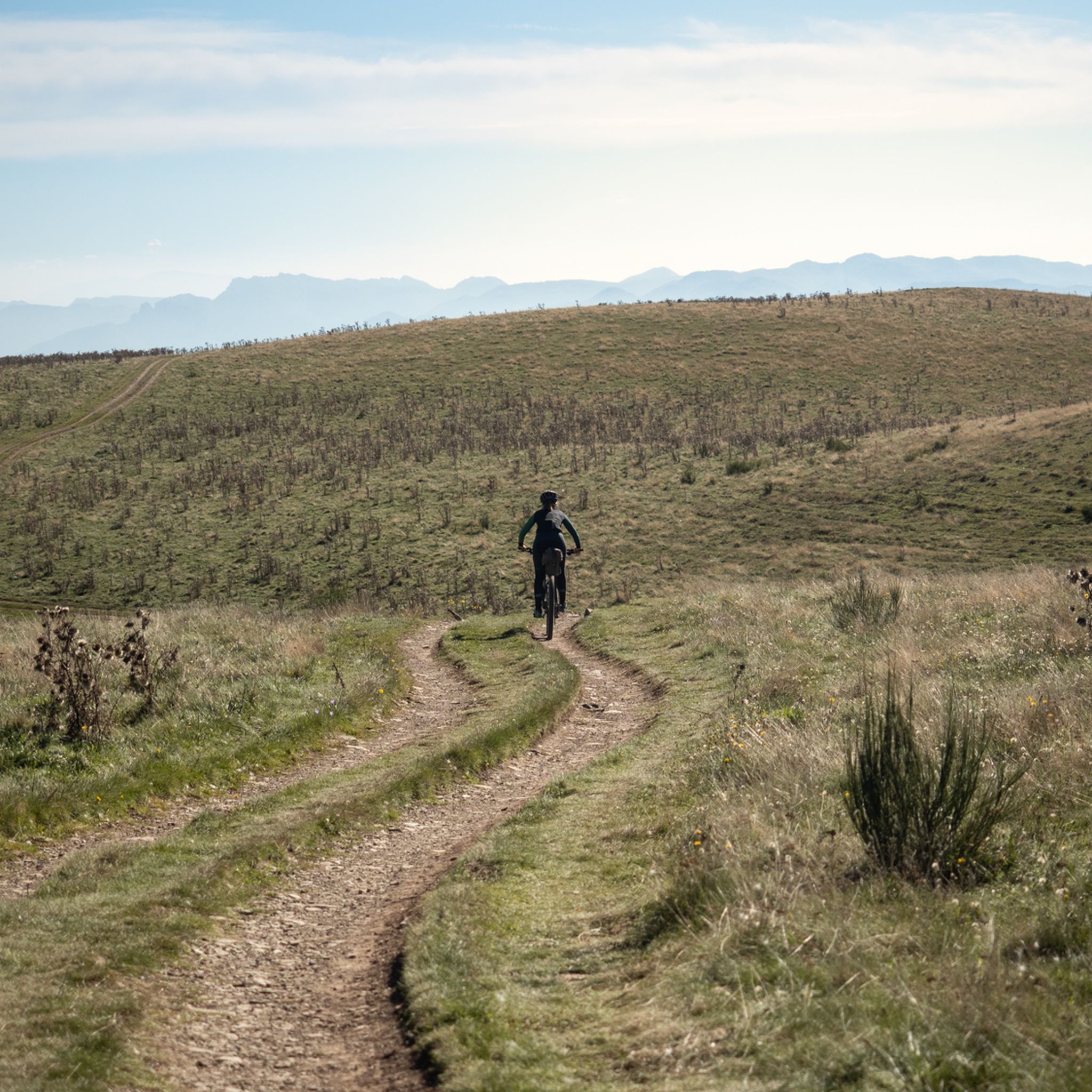
MTB Trails around Réserve naturelle de Prats-de-Mollo-la-Preste
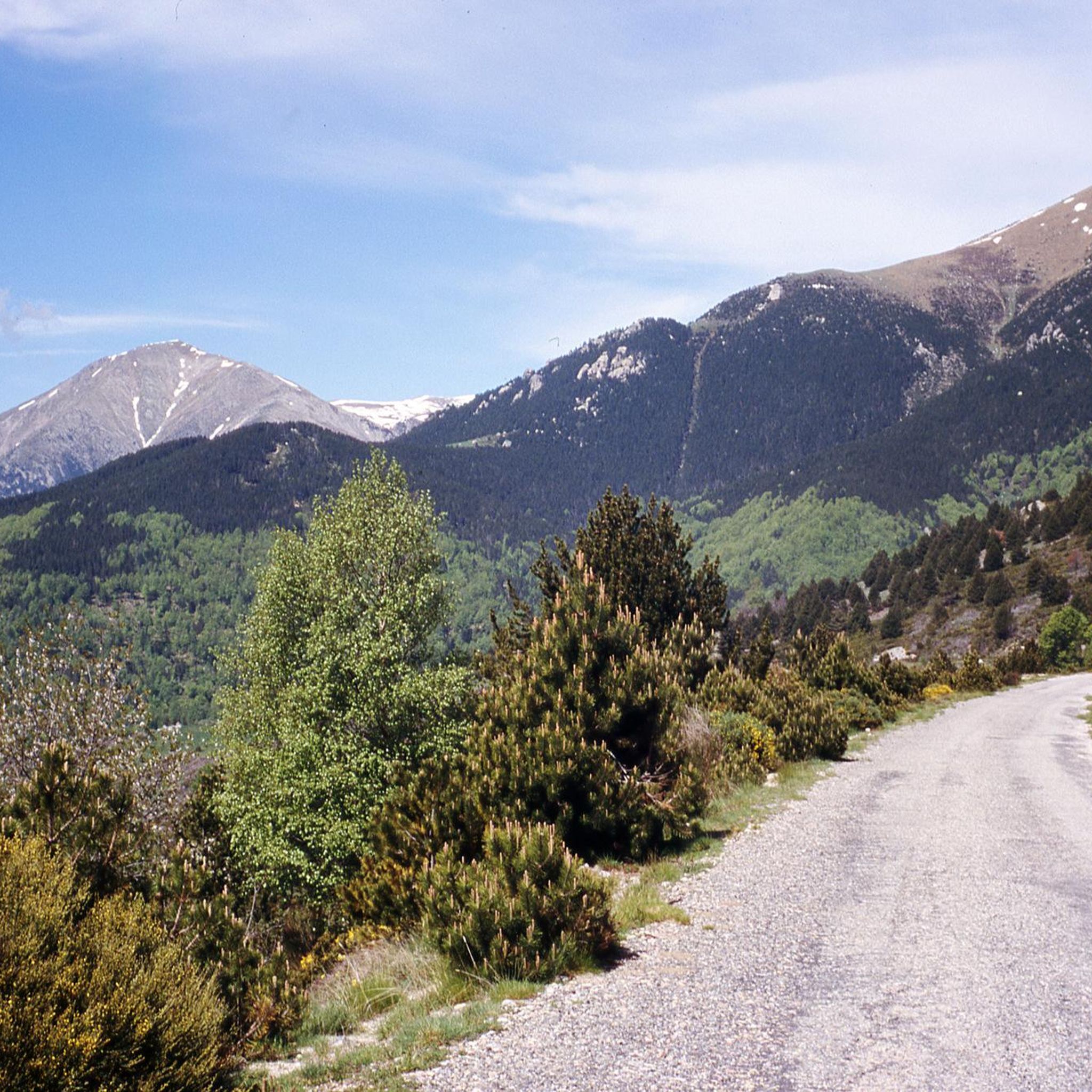
Cycling around Réserve naturelle de Prats-de-Mollo-la-Preste

Mountain Hikes around Réserve naturelle de Prats-de-Mollo-la-Preste

Gravel biking around Réserve naturelle de Prats-de-Mollo-la-Preste
Other adventures around Réserve naturelle de Prats-de-Mollo-la-Preste

Tips from the Community


All of Camprodon is worth visiting!!!
0
0

Something around 6 euros, full of caravans
0
0

A pass that is not too difficult to climb and offers a magnificent landscape when crossing the border at the summit.
0
0

It is a mountain pass located at an altitude of 1,513 metres, on the border between France and Spain, connecting Vallespir (France) with Ripollès (Catalonia, Spain). It is a historic and strategic place, used for centuries as a trade route and also during the Retirada (1939), when thousands of refugees crossed the pass fleeing the Spanish Civil War. Today, it is a popular hiking spot and offers spectacular panoramic views of the Pyrenees.
6
0
https://www.youtube.com/watch?v=dLKV5Y7mv40 The town keeps alive many Catalan traditions, such as the Bear Festival (La Fête de l'Ours), which is celebrated every year in February. This festival is one of the oldest and most representative of Pyrenean folklore, symbolizing the struggle between man and nature.
1
0
The village has a strong medieval character, with well-preserved walls and a citadel, Fort Lagarde, which dominates the town from above. This fort was built in the 17th century and is an important symbol of border defence during that period.
1
0

Frequently Asked Questions
How many road cycling routes are available in Réserve naturelle de Prats-de-Mollo-la-Preste?
There are over 10 road cycling routes in Réserve naturelle de Prats-de-Mollo-la-Preste, offering a variety of experiences for different skill levels. The komoot community has explored these routes over 1000 times.
What kind of terrain can I expect on road cycling routes in Réserve naturelle de Prats-de-Mollo-la-Preste?
The region is characterized by a mountainous landscape with significant elevation changes and winding roads. You'll encounter a mix of forested areas, river valleys, and high mountain passes, providing challenging climbs and descents typical of the Pyrénées-Orientales.
Are there challenging climbs for experienced road cyclists in the area?
Yes, Réserve naturelle de Prats-de-Mollo-la-Preste offers several challenging routes with substantial elevation gain. For instance, the New Bridge of Camprodon – Coll de Jou loop from Setcases is a difficult 72.2 km route with over 1600 meters of ascent, ideal for experienced riders seeking a demanding climb.
Are there any easier road cycling routes suitable for beginners or families?
While many routes feature significant climbs, there are moderate options available. The Prats-de-Mollo-la-Preste – Prats de Mollo loop from La Preste is a moderate 17 km loop with around 400 meters of elevation gain, offering a scenic ride that is less demanding than the more difficult mountain passes.
What landmarks or scenic viewpoints can I find along road cycling routes?
Road cycling routes in the area can lead you to stunning natural landmarks. You might pass near the Costabona Summit (2,480 m) or the Roca Colom summit. The Collade des Roques Blanches (2252 m) is another notable mountain pass offering expansive views.
When is the best time of year for road cycling in Réserve naturelle de Prats-de-Mollo-la-Preste?
Given the mountainous terrain, the best time for road cycling is typically from late spring through early autumn (May to October). During these months, the weather is generally more stable, and mountain passes are clear of snow, providing optimal conditions for tackling the region's climbs.
What do other cyclists say about road cycling in Réserve naturelle de Prats-de-Mollo-la-Preste?
The road cycling routes in Réserve naturelle de Prats-de-Mollo-la-Preste are highly rated by the komoot community, with an average score of 4.8 stars from over 10 reviews. Cyclists often praise the challenging mountain passes, the beauty of the forested sections, and the rewarding descents through river valleys.
Are there any long-distance road cycling routes available?
Yes, for those seeking longer rides, routes like the Col Palomere – Villefranche-de-Conflent loop from Casteil offer a significant challenge. This difficult route spans nearly 109 km with over 2100 meters of elevation gain, making it a full-day adventure for well-prepared cyclists.
Can I find circular road cycling routes in the area?
Many of the road cycling routes in Réserve naturelle de Prats-de-Mollo-la-Preste are designed as loops, allowing you to start and finish at the same point. Examples include the popular Prats-de-Mollo-la-Preste – Prats de Mollo loop from La Preste and the more challenging Vallter 2000 Ski Resort – Vallter 2000 Mountain Pass loop from Setcases.
Are there specific routes that offer exceptional scenic viewpoints?
Routes that traverse mountain passes, such as the Vallter 2000 Ski Resort – Vallter 2000 Mountain Pass loop from Setcases, often provide breathtaking panoramic views of the surrounding Pyrenean landscape. The high elevation points along these routes are perfect for taking in the natural beauty of the reserve.
Is public transport an option for accessing road cycling routes in Réserve naturelle de Prats-de-Mollo-la-Preste?
Public transport options to reach the starting points of road cycling routes in this mountainous region can be limited. It is advisable to check local bus schedules or consider driving to a suitable parking area near your chosen route's starting point, especially for routes deeper within the reserve.
Most popular routes around Réserve naturelle de Prats-de-Mollo-la-Preste
Most popular attractions around Réserve naturelle de Prats-de-Mollo-la-Preste

Get inspired with the komoot mobile app


Explore more
Browse the best Road cycling routes in other regions.
