The best MTB trails around Réserve naturelle de Prats-de-Mollo-la-Preste
4.5
(51)
694
riders
34
rides
Mountain biking around Réserve naturelle de Prats-de-Mollo-la-Preste features a varied terrain of mountainous cirques, dense forests, and alpine meadows. The region's geology includes granite and limestone, contributing to dynamic riding experiences with significant ascents and descents. Water features like the sources of the Tech river add to the natural environment. Elevations range from approximately 1500 to 2500 meters, providing a challenging backdrop for mountain bike trails.
Best mountain bike trails around Réserve naturelle de Prats-de-Mollo-la-Preste
- The most popular mountain bike…
Last updated: October 5, 2026
4.3
(3)
19
riders
76.0km
08:38
2,930m
2,930m
Hard mountain bike ride. Very good fitness required. Suitable for all skill levels.
4.5
(2)
12
riders
33.8km
03:28
1,190m
1,190m
Hard mountain bike ride. Very good fitness required. Suitable for all skill levels.

5
riders
51.5km
06:36
2,480m
2,490m
Hard mountain bike ride. Very good fitness required. Advanced riding skills necessary. Some portions of the route may require you to push your bike.
4.3
(4)
84
riders
45.9km
03:33
1,090m
1,090m
Hard mountain bike ride. Very good fitness required. Suitable for all skill levels.
29
riders
32.4km
03:57
1,400m
1,400m
Hard mountain bike ride. Very good fitness required. Advanced riding skills necessary. Some portions of the route may require you to push your bike.
Get access to more routes and recommendations from other explorers.
Already have an account?
Our route recommendations are based on thousands of hikes, rides, and runs completed by other people on komoot.
Start today with a free account
Your next adventure awaits.
Popular around Réserve naturelle de Prats-de-Mollo-la-Preste

Haute Route Pyrénéenne – Pyrenees Crossing
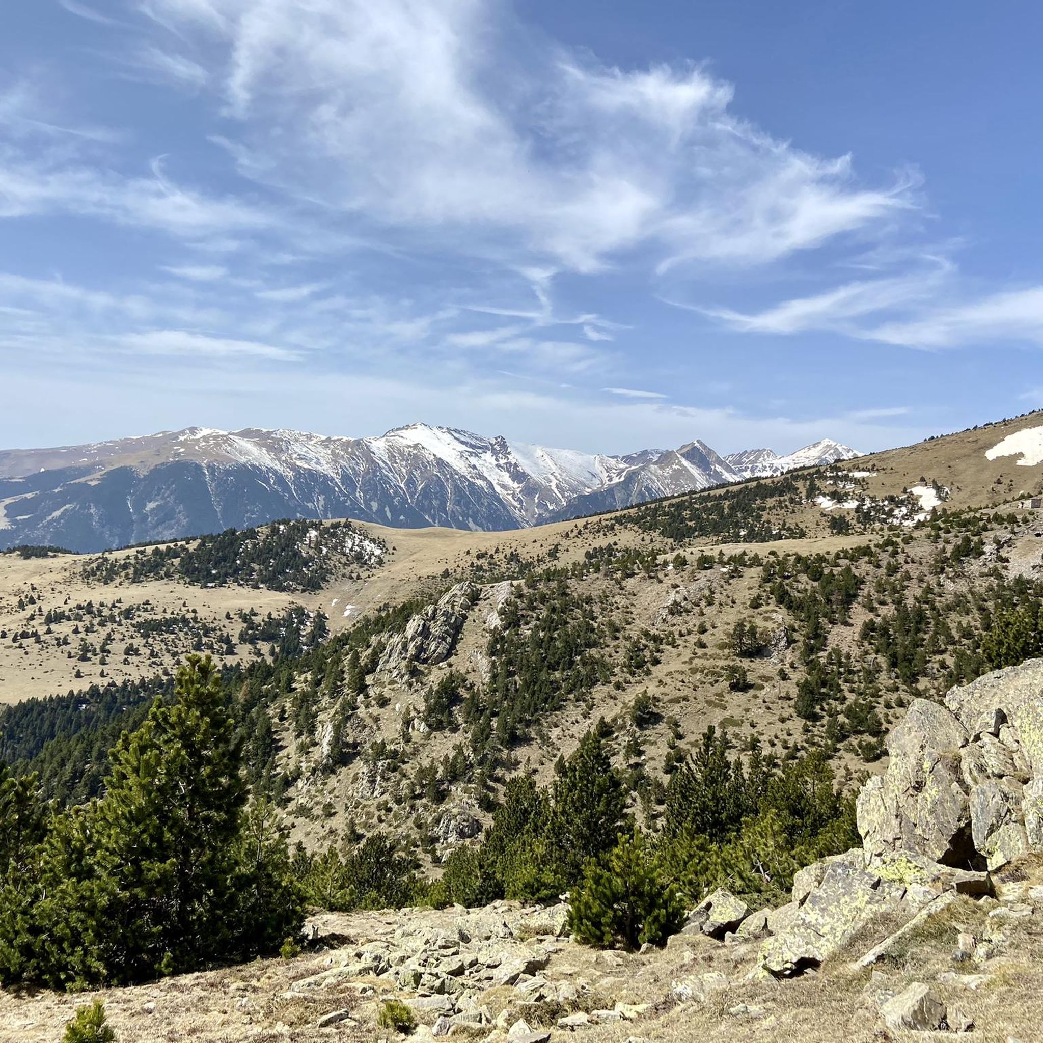
Running Trails around Réserve naturelle de Prats-de-Mollo-la-Preste
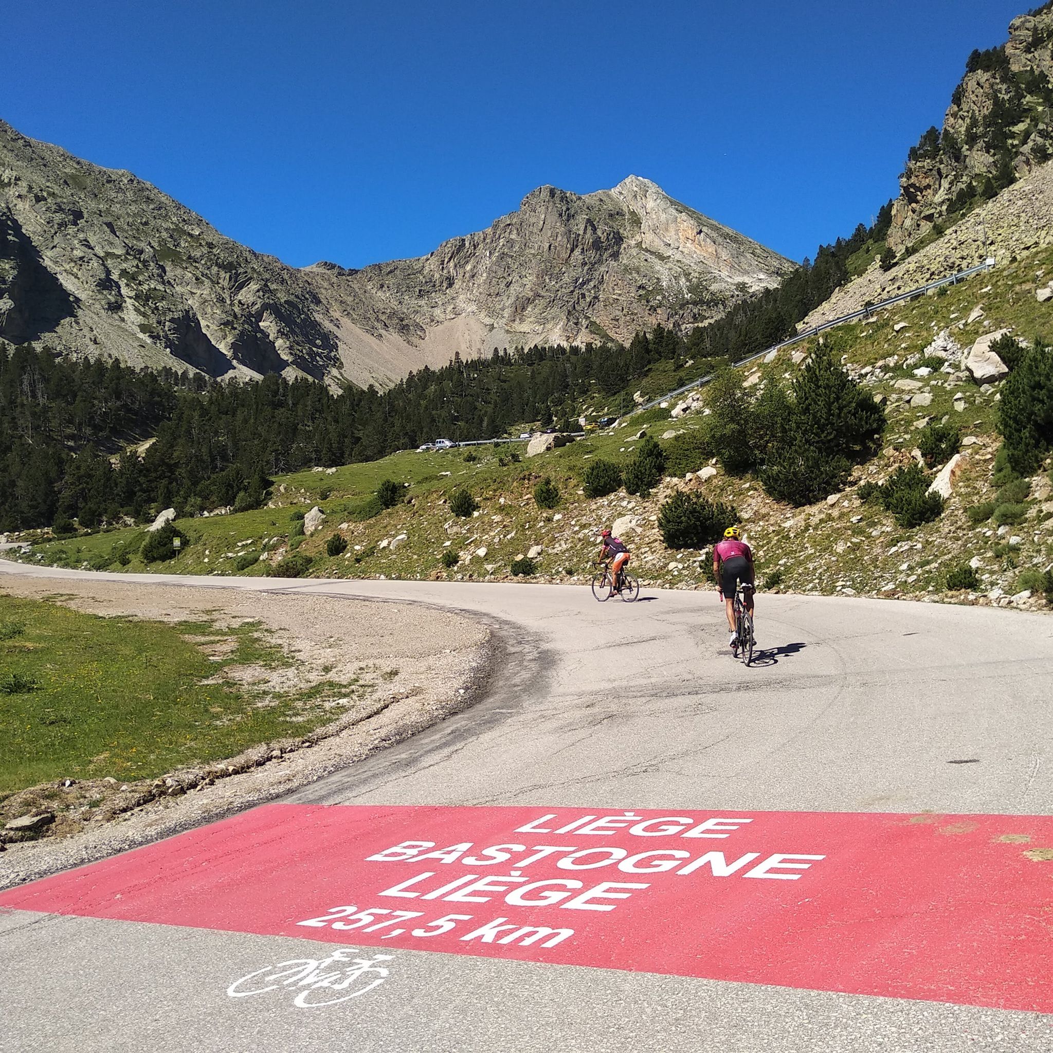
Road Cycling Routes around Réserve naturelle de Prats-de-Mollo-la-Preste
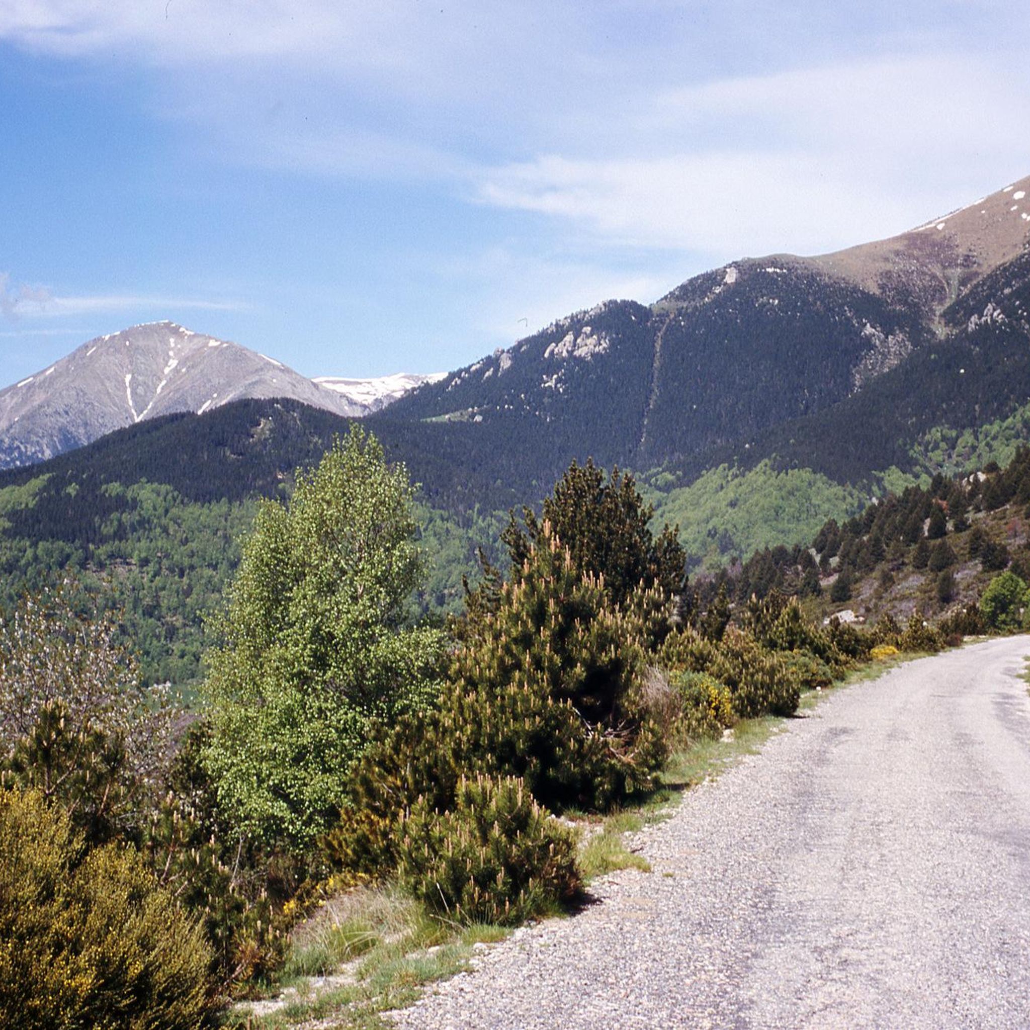
Cycling around Réserve naturelle de Prats-de-Mollo-la-Preste
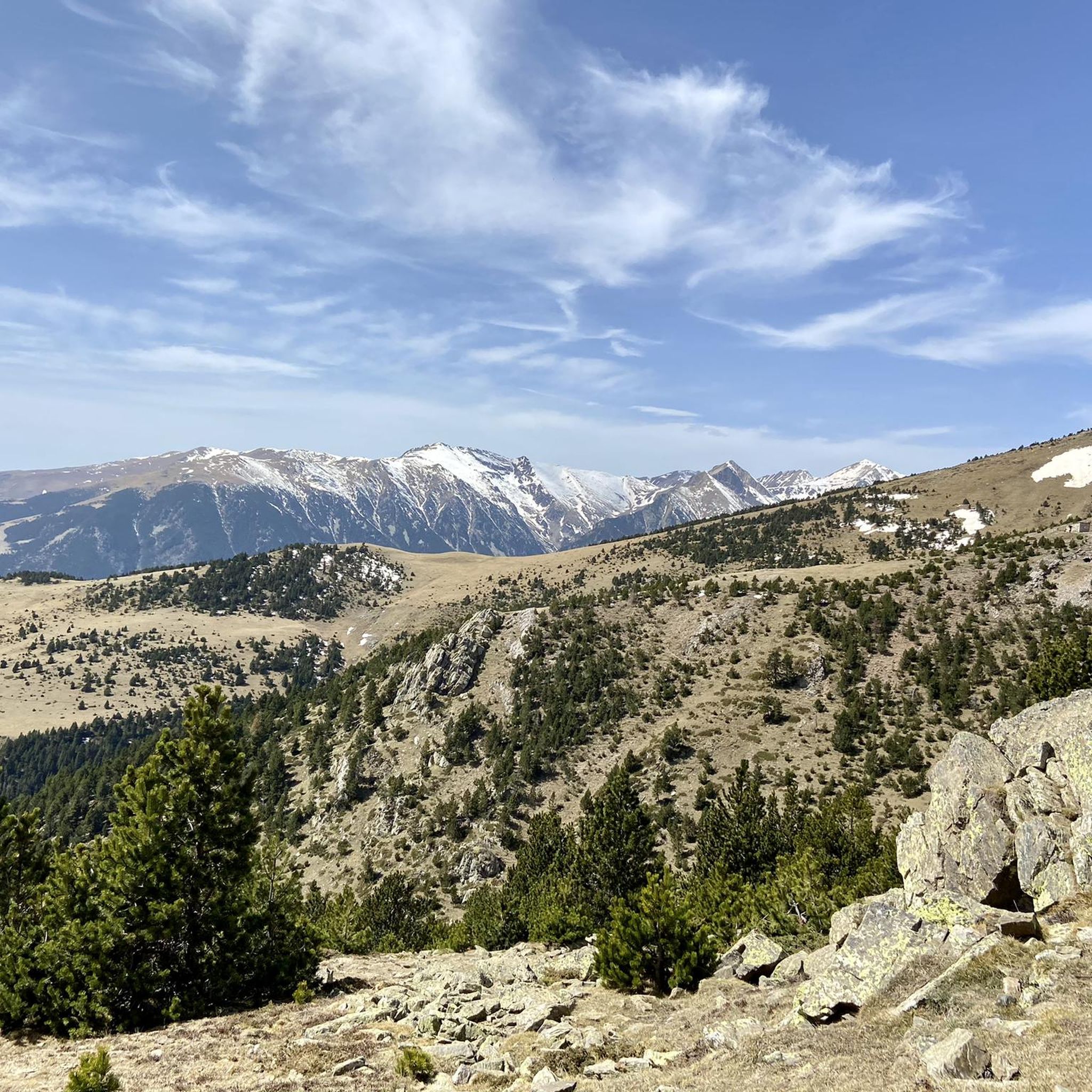
Hiking around Réserve naturelle de Prats-de-Mollo-la-Preste

Mountain Hikes around Réserve naturelle de Prats-de-Mollo-la-Preste

Gravel biking around Réserve naturelle de Prats-de-Mollo-la-Preste
Other adventures around Réserve naturelle de Prats-de-Mollo-la-Preste

Tips from the Community

beautiful ascent, with a less attractive destination – The journey is the destination
0
0
beautiful path along the Ter river, but Vallter 2000 itself is not so great.
0
0

The ski resort, located on the main ridge of the Pyrenees in Ripollès on the border with France, is also one of the highest mountain passes that you can reach by bike on an asphalted road. The ski resort has been the finish line for the Volta a Catalunya several times, most recently in 2019.
1
0

Hidden spring near the exit of Setcases, surrounded by boxwood and silence. Fresh water, old metal channel and wooden benches. Ideal for stopping to eat, rest or simply listen to the water gushing. Access via asphalt track that ends in a small path (not recommended for MTB). Local project visible with signs like “Empatia”. Quiet space with rural charm.
3
0
This trail starts near the Roques d'en Mercer, which is taken at the highest point of the path from Setcases to Espinavell. Halfway along the trail, you'll find this viewpoint for Setcases. The trail is in good condition, but it has no exit: its final destination is Pla de Lliens. From there, there are multiple options, including the GR-11. ⚠️ Caution: most are corriols (narrow paths), and you can have a tough time, even downhill and on foot if you're cycling. If I had to recommend a route with few corriols, then without a doubt: heading downhill towards Llanars.
3
0

Walk without too much difficulty
0
0

Vallter 2000 Descent Tip The descent from Vallter 2000 is steep, winding, and technical—especially challenging when you’re carrying a full bikepacking load. Make sure your brakes are strong and responsive before you start down. 🛑 Use both front and rear brakes smoothly to control your speed and avoid overheating. Take corners wide and slow down early, as some sections have sharp bends and rough patches. 💡 Pro tip: If your bikepacking setup includes heavy gear, consider breaking the descent into manageable sections with short breaks to keep your brakes cool and maintain control.
0
0
Frequently Asked Questions
How many mountain bike trails are available in Réserve naturelle de Prats-de-Mollo-la-Preste?
There are over 30 mountain bike trails in the Réserve naturelle de Prats-de-Mollo-la-Preste region. These routes offer a mix of moderate and difficult options, catering to various skill levels.
What is the best time of year for mountain biking in Réserve naturelle de Prats-de-Mollo-la-Preste?
The diverse ecosystems, including alpine meadows and high-altitude crests, suggest that late spring to early autumn (May to October) would be ideal. During these months, the weather is generally more stable, and trails are free of snow, allowing access to higher elevations and panoramic views.
Are there any family-friendly mountain bike trails in the reserve?
While the region is known for its challenging terrain with significant ascents and descents, there are 12 moderate routes available. These might be suitable for families with some mountain biking experience, but it's advisable to check individual route details for specific difficulty and length before setting out.
What kind of terrain can I expect on the mountain bike trails?
You can expect a varied terrain, from dense forests of beech and fir to open alpine meadows and rocky trails. The region is characterized by a 'grand cirque' of mountains with elevations up to 2507 meters, offering dynamic riding experiences with substantial elevation changes.
What are some notable landmarks or viewpoints I can see while mountain biking?
The trails offer breathtaking views that can extend all the way to the sea from higher elevations. You might encounter historical sites like medieval ramparts or Fort Lagarde. Specific natural highlights include the Costabona Summit (2,480 m), Roca Colom summit, and the Collade des Roques Blanches (2252 m).
Are there any circular mountain bike routes in the area?
Yes, many routes in the region are designed as loops. For example, the difficult Roques-Blanches Pass loop from La Preste is a 35.5 km path that navigates varied landscapes and offers panoramic views. Another option is the Costabona Summit (2,480 m) – Collado Fonda loop from Setcases, a challenging 32.4 km route.
What do other mountain bikers enjoy most about the trails in Réserve naturelle de Prats-de-Mollo-la-Preste?
The area is highly rated by the komoot community, with an average score of 4.4 stars from over 30 reviews. Reviewers often praise the challenging mountainous terrain, the diverse landscapes including forests and alpine meadows, and the rewarding panoramic views.
Can I expect to see wildlife while mountain biking in the reserve?
The reserve is home to exceptional flora and fauna. While mountain biking, you may have the opportunity to observe species such as the Isard, Wild Cat, Bearded Vulture, and marmots, especially in the higher alpine areas.
Are there any advanced mountain biking trails for experienced riders?
Yes, the region is well-suited for experienced riders, with 19 routes classified as difficult. An example is the Tregurà Mountain Hut – Puig de Mont-Roig loop from Pla de la Pedregosa, a 47 km trail with significant elevation gain through mountainous terrain.
What are the typical durations for mountain bike trails in this region?
Trail durations vary significantly based on length and difficulty. For instance, a difficult route like the Camprodon – Views of the Rock loop from Setcases, which is 46 km long, typically takes around 3 hours and 33 minutes to complete. Shorter, moderate trails would naturally take less time.
Where can I find more information about the Réserve naturelle de Prats-de-Mollo-la-Preste?
For additional details about the natural reserve, including its history and ecological significance, you can visit the official tourism sites: Tourisme Pyrénées-Orientales or Visit Canigó.
Most popular routes around Réserve naturelle de Prats-de-Mollo-la-Preste
Most popular attractions around Réserve naturelle de Prats-de-Mollo-la-Preste

Get inspired with the komoot mobile app


Explore more
Browse the best MTB trails in other regions.
