The best road cycling routes around Bruchhausen
4.5
(808)
11,636
riders
212
rides
Road cycling routes around Bruchhausen traverse a landscape characterized by varied terrain, including rolling hills and forested sections. The region offers a network of paved roads suitable for road bikes, often featuring moderate ascents and descents. Cyclists can expect routes that wind through natural areas and past historical points of interest. This diverse environment provides options for different fitness levels, from gentler rides to more challenging routes with significant elevation gain.
Best road cycling routes around Bruchhausen
- The most popular…
Last updated: November 12, 2026
4.6
(16)
132
riders
48.9km
02:11
450m
450m
Moderate road ride. Good fitness required. Mostly well-paved surfaces and easy to ride.
5.0
(5)
121
riders
Moderate road ride. Good fitness required. Mostly well-paved surfaces and easy to ride.

4.0
(4)
89
riders
35.8km
01:46
440m
440m
Moderate road ride. Good fitness required. Mostly well-paved surfaces and easy to ride.
4.0
(1)
72
riders
61.5km
02:52
620m
620m
Moderate road ride. Good fitness required. Mostly well-paved surfaces and easy to ride.
4.7
(3)
61
riders
48.1km
02:28
690m
690m
Moderate road ride. Good fitness required. Mostly well-paved surfaces and easy to ride.
Get access to more routes and recommendations from other explorers.
Already have an account?
Our route recommendations are based on thousands of hikes, rides, and runs completed by other people on komoot.
Start today with a free account
Your next adventure awaits.

Tips from the Community


The weather was good and dry… 💪 It’s really fun to drive past favorite places on eight wheels… Absolutely recommended, no question
0
0

For racing cyclists, the serpentine is a delight – even if the asphalt has cracks at the apex of the curve.
0
0

The Ludendorff Bridge, known as the Remagen Bridge, was a two-track railway bridge over the Rhine between Remagen and Erpel. It was commissioned for military reasons in 1916 during the First World War and named in honor of the Army Quartermaster General, Erich Ludendorff, on May 1, 1918, for the inauguration of Kaiser Wilhelm II. On March 7, 1945, at the end of the Second World War, a small vanguard of US soldiers reached the undamaged bridge and captured it. Wehrmacht soldiers tried in vain to destroy the bridge in the days following its capture, because according to the Wehrmacht leadership's plans, all Rhine bridges were to be blown up. However, less explosives (300 kg instead of 600 kg) and less efficient explosives (Donarit instead of Ekrasit) were used than planned. During the demolition, the bridge was briefly lifted from its supports. It finally collapsed on March 17, 1945, likely as a result of the demolition. The Peace Museum in the bridge towers, located since 1980, impressively displays images and documents from that time, everyday items and equipment of the soldiers fighting on the bridge, and much more. Visitors are immersed in the historical events of the Battle of Remagen at the original site and will understand the significance of capturing this bridge and the courage and determination required to face the associated real dangers, even one's own death. The bridge towers on the Remagen side are used as a Peace Museum. On the Erpel side, cultural events take place in the tunnel.
14
0

At first, the smooth asphalt on the descent tempts you to roll – and you gain speed! But in the lower third, nasty potholes suddenly appear, which you only notice late because of the shadows of the trees.
1
0

Quite crowded on weekends especially when the weather is good
1
0

The new (unfortunately short) section of the Rhine cycle path is very well done. It is a comfortable width and is well lit. I also think the markings at the playground and the crossings are good.
2
0

Quiet road, good asphalt, fantastic for racing bikes. Watch out for oncoming traffic, narrow road.
0
0
Frequently Asked Questions
How many road cycling routes are available around Bruchhausen?
There are nearly 200 road cycling routes to explore around Bruchhausen. This extensive network offers a wide variety of options for different skill levels and preferences, from leisurely rides to more challenging ascents.
Are there easy road cycling routes suitable for beginners in Bruchhausen?
Yes, Bruchhausen offers a good selection of routes suitable for beginners. There are 31 easy road cycling routes, often featuring mostly paved surfaces and gentler terrain. These routes are perfect for those looking for a relaxed ride through the scenic landscape.
What kind of terrain can I expect on road cycling routes in Bruchhausen?
Road cycling routes in Bruchhausen typically feature varied terrain, including rolling hills and forested sections. Depending on the specific area, you might encounter impressive geological formations like the Bruchhausen Steine in the Sauerland region or the extensive cycling networks of Bruchhausen-Vilsen in Lower Saxony, which is known for its pleasant, natural environment.
Are there any family-friendly road cycling routes in Bruchhausen?
While specific family-friendly routes are not explicitly detailed in the data, the presence of 31 easy routes suggests options suitable for families. These routes often have less elevation gain and are on well-maintained paths, making them more accessible for riders of all ages. Bruchhausen-Vilsen, recognized as a health resort, also implies a generally pleasant and safe environment for outdoor activities.
What are some scenic viewpoints or landmarks I can see along the road cycling routes?
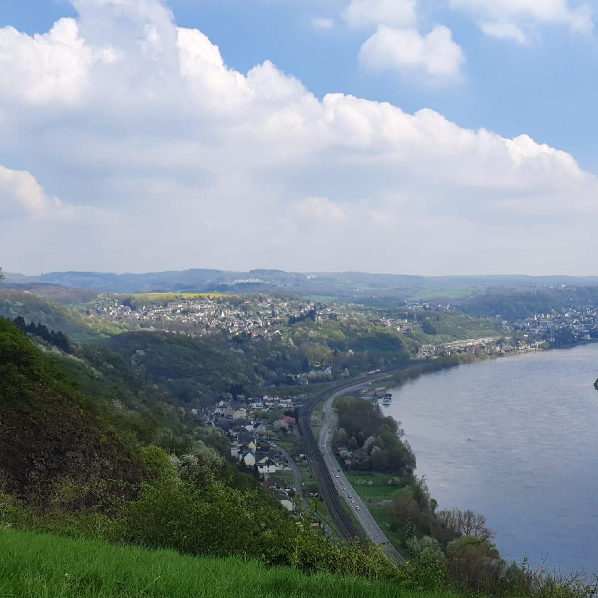
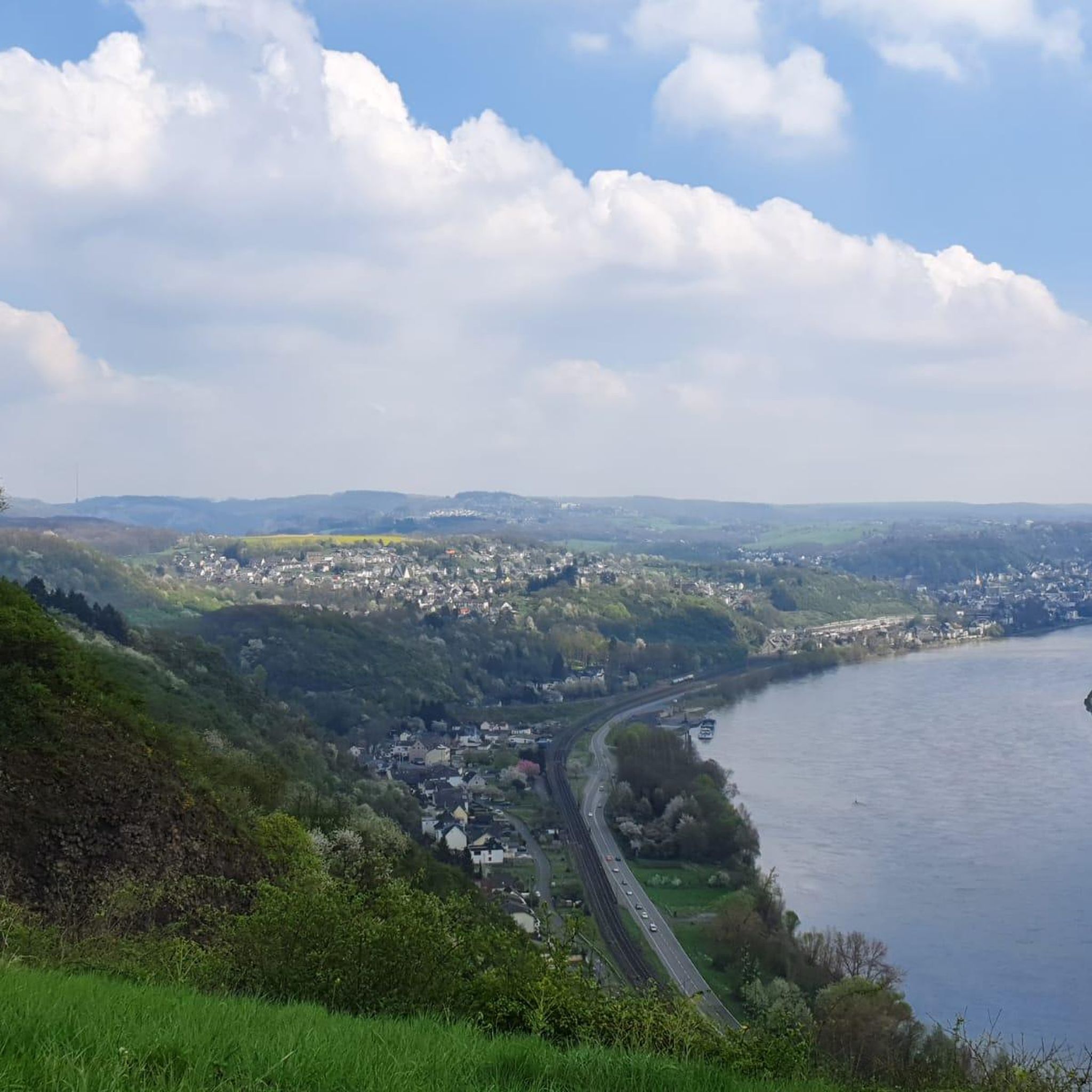
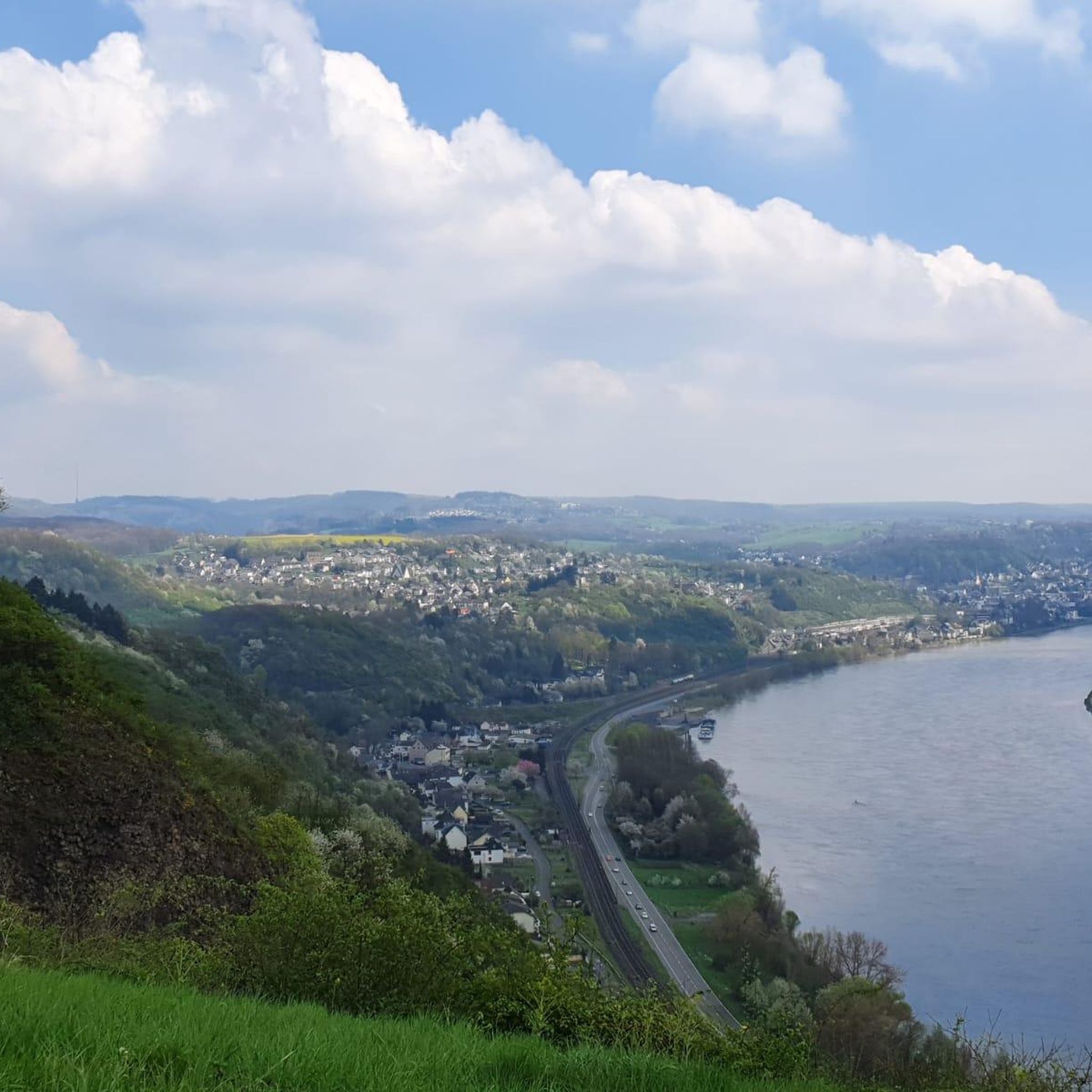
Many routes offer scenic views and pass by interesting landmarks. You can enjoy views of the Rhine Valley from the Siegfried Pulpit or spot Drachenburg Castle. The Stenzelberg Rock Formations are also a notable natural monument in the region, offering a picturesque rocky landscape.
Are there circular road cycling routes available in Bruchhausen?
Yes, many of the road cycling routes in Bruchhausen are designed as loops, allowing you to start and end at the same point. For example, the popular Schmelztal Serpentine – Brüngsberg Serpentine loop from Unkel is a moderate 31.9-mile route, and the Schmelztal Serpentine – Heisterbach Abbey loop from Unkel is another excellent circular option.
What is the best time of year for road cycling in Bruchhausen?
The region is generally pleasant for road cycling, with many people choosing to ride in June and July in areas like Bruchhausen-Vilsen. The varied landscape means that spring and autumn also offer beautiful scenery and comfortable temperatures, though it's always advisable to check local weather forecasts before heading out.
What do other road cyclists say about the routes in Bruchhausen?
The road cycling routes in Bruchhausen are highly rated by the komoot community, with an average score of 4.4 stars from over 750 reviews. More than 11,000 road cyclists have used komoot to explore the varied terrain, often praising the moderate climbs, scenic views, and the mix of open roads and historical sites.
Are there any challenging road cycling routes for experienced riders?
Yes, for experienced riders seeking a challenge, Bruchhausen offers 43 difficult road cycling routes. These routes typically feature significant elevation gain and longer distances, providing a demanding yet rewarding experience through the region's diverse landscape. An example of a longer, moderate route with substantial elevation is the Schmelztal Serpentine – View of the Pleistal Valley loop from Unkel.
Can I find routes that pass by historical sites or cultural attractions?
Absolutely. Many routes incorporate historical and cultural points of interest. For instance, the Schmelztal Serpentine – Heisterbach Abbey loop from Unkel passes by historical sites. In the Sauerland region, the romantic Bruchhausen moated castle lies at the foot of the Bruchhausen Steine, and in Bruchhausen-Vilsen, you can find the Heiligenberg Monastery Mill and the Bruchmühlen Watermill, adding a cultural dimension to your ride.
What is the typical length and duration of road cycling routes in Bruchhausen?
The routes vary significantly in length and duration. Moderate routes, which make up the majority, can range from around 25 miles (40 km) taking about 1 hour 56 minutes, such as the View of Ockenfels Castle – Ockenfels Castle loop from Rheinbreitbach, to longer rides like the Schmelztal Serpentine – Brüngsberg Serpentine loop from Unkel at 31.9 miles (51.4 km) which typically takes 2 hours 16 minutes.
Most popular routes around Bruchhausen
Most popular attractions around Bruchhausen

Get inspired with the komoot mobile app


Explore more
Browse the best Road cycling routes in other regions.
