The best walks and hikes around Bruchhausen
4.6
(472)
2,187
hikers
31
hikes
Hiking around Bruchhausen offers diverse landscapes within Germany's Sauerland region. The area is characterized by impressive rock formations like the Bruchhauser Steine, providing elevated views. Lush forests and valleys, such as the Stinderbach Valley, create varied terrain for exploration. Water features, including a walled park lake, add to the natural environment.
Best hiking trails around Bruchhausen
- The most popular hiking route is Kasbachtal Railway – Linden avenue loop from Kasbach-Ohlenberg, a 7.5 miles (12.0 km) trail that takes 3…
Last updated: November 10, 2026
4.8
(54)
261
hikers
Easy hike. Easily walkable paths.
4.7
(22)
90
hikers
27.6km
07:59
680m
690m
Hard hike. Very good fitness required. Easily walkable paths.

4.8
(252)
1,075
hikers
13.2km
03:44
280m
280m
Moderate hike. Good fitness required. Easily walkable paths.
4.5
(4)
64
hikers
Easy hike. Easily walkable paths.
5.0
(4)
31
hikers
Easy hike. Easily walkable paths.
Get access to more routes and recommendations from other explorers.
Already have an account?
Our route recommendations are based on thousands of hikes, rides, and runs completed by other people on komoot.
Start today with a free account
Your next adventure awaits.
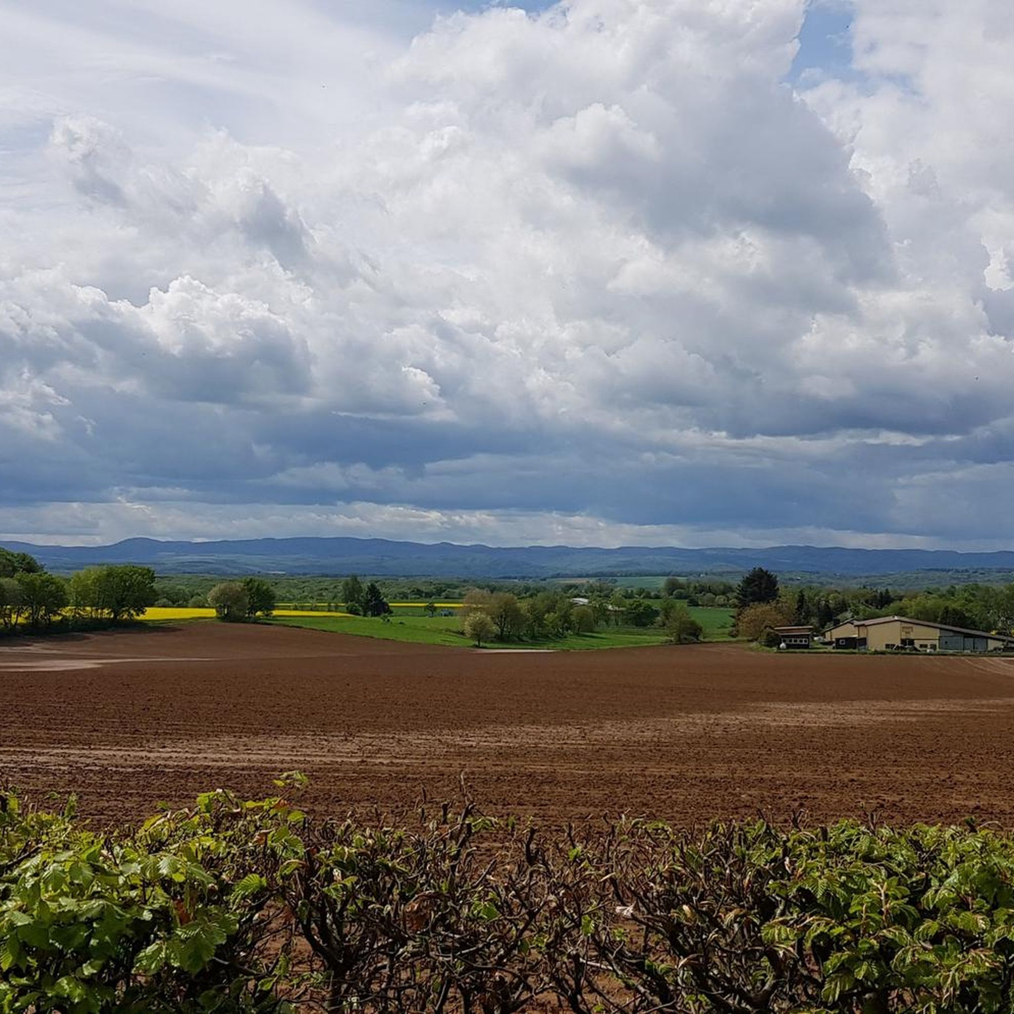
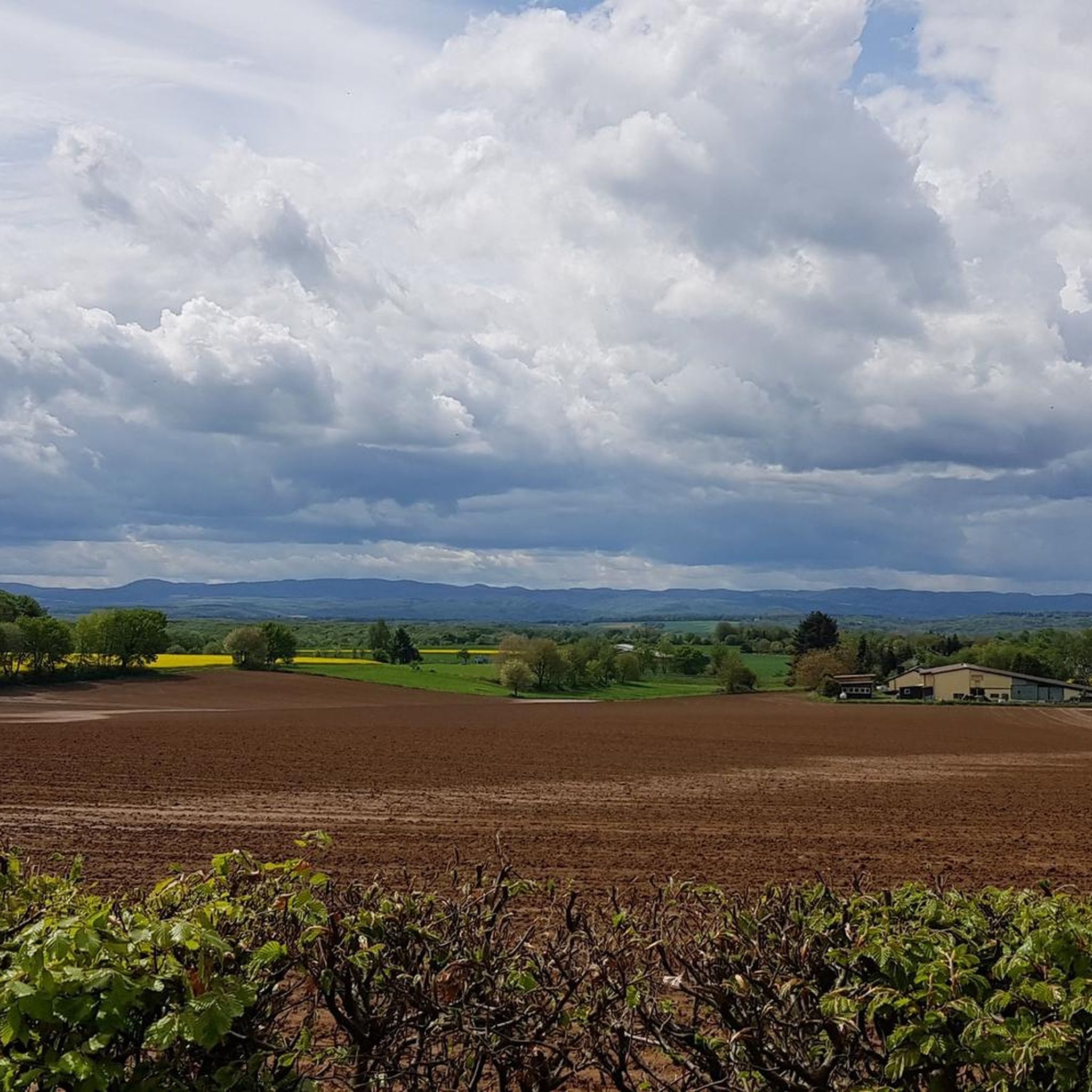

Tips from the Community

A beautiful, varied trail that can also be walked well in hot temperatures.
0
0

It's a bit quirky when the fire-red railbus puffs its way uphill through the forest on your hike through the Kasbachtal. Once an hour it goes uphill from Linz to Kalenborn and once an hour back down again. At several points you can get on and let yourself be rocked through the forest. It can be so easy to overcome altitude meters 😊
0
0
On your tour through the Kasbachtal valley, you will cross the Kasbach several times. The old wooden bridge, where two streams meet, is particularly charming. It feels good to linger on the bridge and watch the stream find its way.
0
0

As with many (view)points whose name contains the component „Ley“, the naming (from the origin of the word) indicates slate as the underlying rock. Since we are here – geologically speaking – in the „Rheinische Schiefergebirge“ (Rhenish Slate Mountains), the number of corresponding „Ley“ places is not surprising, but the fact that we find no slate at this spot, but are standing on a basalt rock, is indeed surprising.
2
0

With a mountain bike, the path is rideable, especially when it has been dry for a while. You should be prepared for mud and a few pushing sections. And it's better not to go on weekends, when pedestrians have trouble getting through the mud.
0
0

A railway tunnel ("Erpeler Eisenbahntunnel") runs beneath the Erpeler Ley, a historically interesting site. The rock was important in connection with the Battle of Remagen (March 7, 1945), as it stands above and opposite the bridge that was built at that time.
2
0
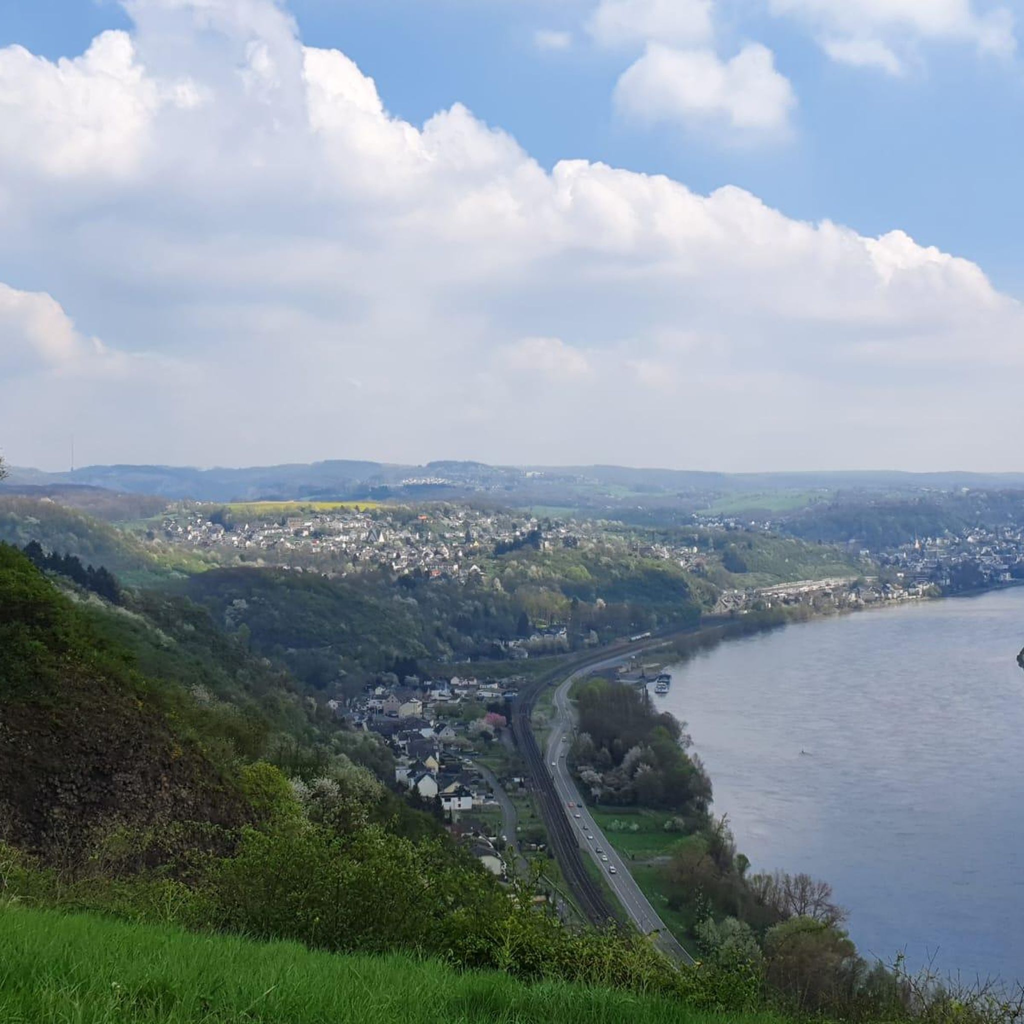
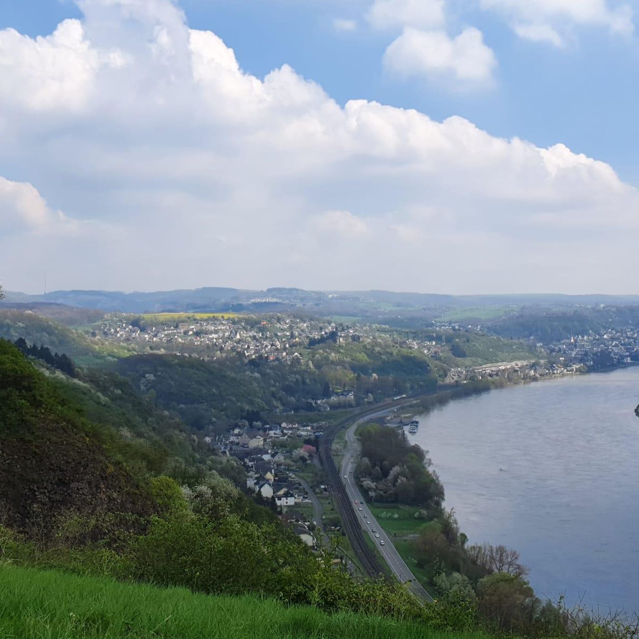
An impressive view over the Rhine Valley
2
0
From up here, you have a great view over the Rhine Valley
1
0
Frequently Asked Questions
How many hiking trails are available around Bruchhausen?
There are over 30 hiking trails available around Bruchhausen. These routes offer a variety of experiences, from easy strolls to more moderate treks through the diverse landscapes of the Sauerland region.
What kind of difficulty levels can I expect on hikes around Bruchhausen?
Hiking around Bruchhausen caters to various fitness levels. You'll find a good selection of easy trails, with 23 routes categorized as such, perfect for a relaxed walk. There are also 7 moderate trails for those seeking a bit more challenge. Currently, there are no routes classified as difficult.
Are there family-friendly hiking options in Bruchhausen?
Yes, Bruchhausen offers several family-friendly hiking options, particularly among the 23 easy trails available. These routes typically feature gentle gradients and shorter distances, making them suitable for all ages. An example is the Haanhof Estate – St. Marienberg Mining Memorial loop from Bruchhausen, which is an easy 2.3-mile path.
Are dogs allowed on the hiking trails in Bruchhausen?
Generally, dogs are welcome on hiking trails in Bruchhausen. However, it's always recommended to keep them on a leash, especially in nature conservation areas or near wildlife. Please be mindful of local regulations and other hikers.
What natural features or landmarks can I see while hiking in Bruchhausen?
Bruchhausen is known for its impressive natural features. The iconic Bruchhauser Steine (Bruchhausen Rocks) offer stunning views of the Sauerland landscape. You can also explore lush forests and scenic valleys like the Stinderbach Valley. Additionally, you might encounter water features such as the walled park lake of the Bruchhauser estate. For specific viewpoints, consider exploring highlights like the View of Drachenburg Castle or the View of the Rhine Valley from the Siegfried Pulpit.
Are there any circular walks available in Bruchhausen?
Yes, many of the trails around Bruchhausen are designed as circular walks, allowing you to start and end at the same point. This includes popular routes like the Kasbachtal Railway – Linden avenue loop from Kasbach-Ohlenberg, which is a 7.5-mile moderate trail, and the Unkel Waterfall – Hähnerbach Valley loop from Kasbach-Ohlenberg, an easy 2.9-mile option.
What do other hikers enjoy most about hiking in Bruchhausen?
The komoot community highly rates hiking in Bruchhausen, with an average score of 4.6 stars from over 490 reviews. Hikers often praise the diverse landscapes, the impressive rock formations, and the variety of trails that cater to different abilities. The scenic valleys and well-maintained paths are frequently highlighted as enjoyable aspects of the experience.
Are there any waterfalls to discover on the trails?
Yes, you can discover waterfalls on some of the trails around Bruchhausen. For instance, the Unkel Waterfall – Hähnerbach Valley loop from Kasbach-Ohlenberg is an easy 2.9-mile trail that leads through the Hähnerbach Valley and features the Unkel Waterfall.
What historical sites or castles can be found near the hiking routes?
The region around Bruchhausen is rich in historical sites. The romantic Bruchhausen Castle is nestled at the foot of the Bruchhauser Steine. Further afield, you can find highlights such as the Drachenfels Castle Ruins, Lion castle ruins, and the impressive Drachenburg Castle, offering glimpses into the area's past.
Is there public transport available to access hiking trails in Bruchhausen?
While specific public transport connections to every trailhead can vary, Bruchhausen is generally accessible. It's advisable to check local bus schedules or regional train services that connect to the main towns or villages near the trail starting points. Some routes, like those starting from Kasbach-Ohlenberg, might be more easily reached by public transport.
What is the best time of year to go hiking in Bruchhausen?
Bruchhausen offers enjoyable hiking experiences throughout the year. Spring brings blooming flora, while summer provides lush green landscapes. Autumn is particularly scenic with vibrant fall colors, and winter can offer peaceful, snow-dusted trails, though some paths might require more appropriate gear. The diverse terrain ensures beauty in every season.
Are there any specific natural monuments worth visiting?
Beyond the Bruchhauser Steine, the region features other notable natural monuments. You might want to explore the Stenzelberg Rock Formations. The area also boasts impressive viewpoints like the View of the Seven Hills (Siebengebirge), offering panoramic vistas of the surrounding landscape.
Most popular routes around Bruchhausen
Most popular attractions around Bruchhausen

Get inspired with the komoot mobile app


Explore more
Browse the best Hikes in other regions.
