The best running trails around Santo Domingo De Pirón
294
runners
34
runs
Jogging routes around Santo Domingo De Pirón are set within the picturesque province of Segovia, Spain, offering diverse natural landscapes. The region is characterized by its proximity to the Sierra de Guadarrama National Park, featuring pine forests, valleys, and mountains. Runners can find trails that traverse varied terrain, from gentle paths to more challenging ascents. The area's topography includes river valleys and elevated sections, providing a range of experiences for outdoor enthusiasts.
Best jogging routes around Santo Domingo De Pirón
…Last updated: May 20, 2026
8
runners
7.52km
01:24
420m
420m
Hard run. Very good fitness required. Sure-footedness, sturdy shoes and alpine experience required.
33
runners
34.0km
05:16
1,520m
1,520m
Hard run. Very good fitness required. Sure-footedness, sturdy shoes and alpine experience required.

Sign up for free
16
runners
11.1km
01:14
130m
130m
Moderate run. Good fitness required. Mostly paved surfaces. Suitable for all skill levels.
18
runners
11.6km
01:54
480m
480m
Hard run. Very good fitness required. Sure-footedness, sturdy shoes and alpine experience required.
17
runners
32.4km
03:38
690m
690m
Hard run. Very good fitness required. Sure-footedness, sturdy shoes and alpine experience required.
Get access to more routes and recommendations from other explorers.
Sign up for free
Already have an account?
Our route recommendations are based on thousands of hikes, rides, and runs completed by other people on komoot.
Start today with a free account
Your next adventure awaits.
Login or Signup
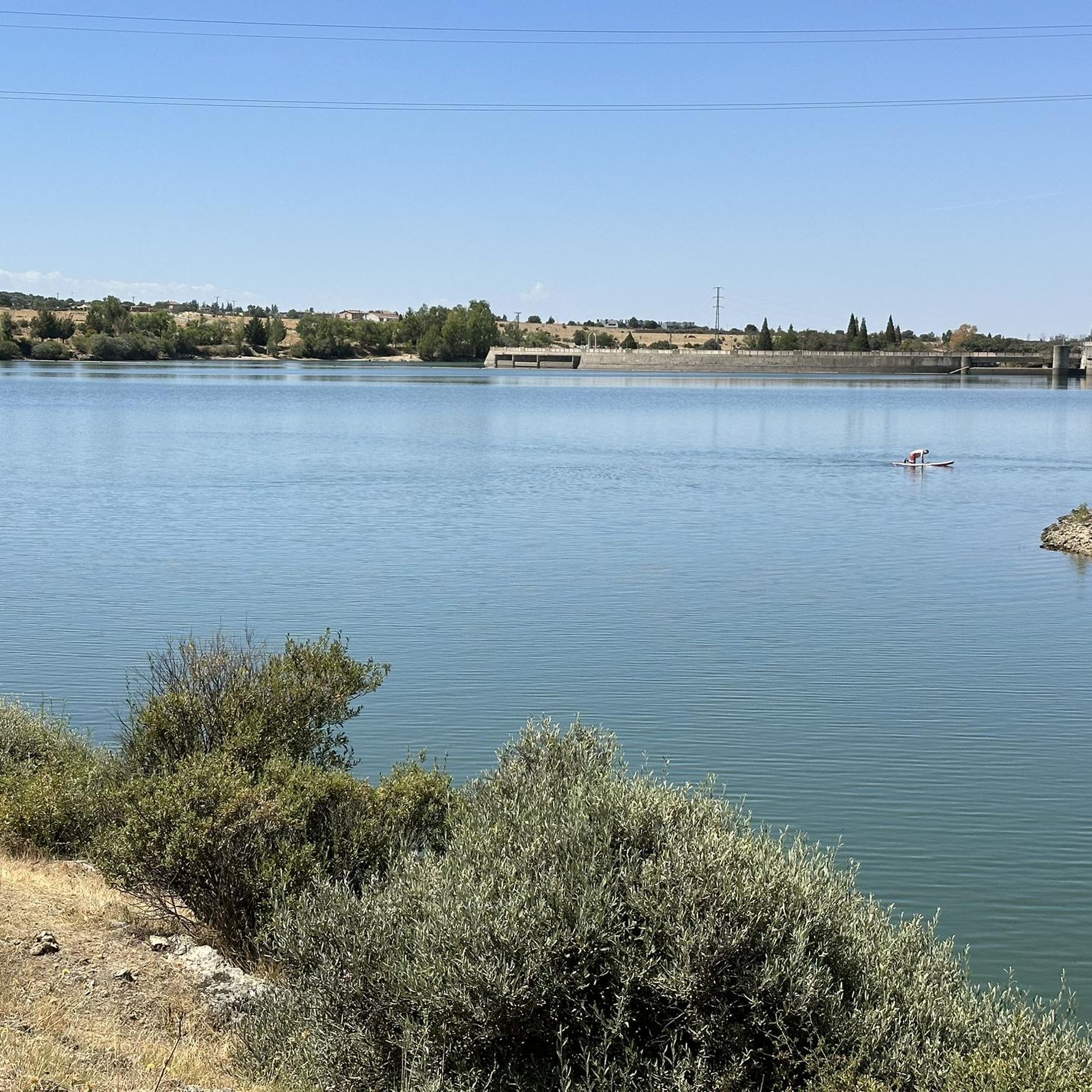
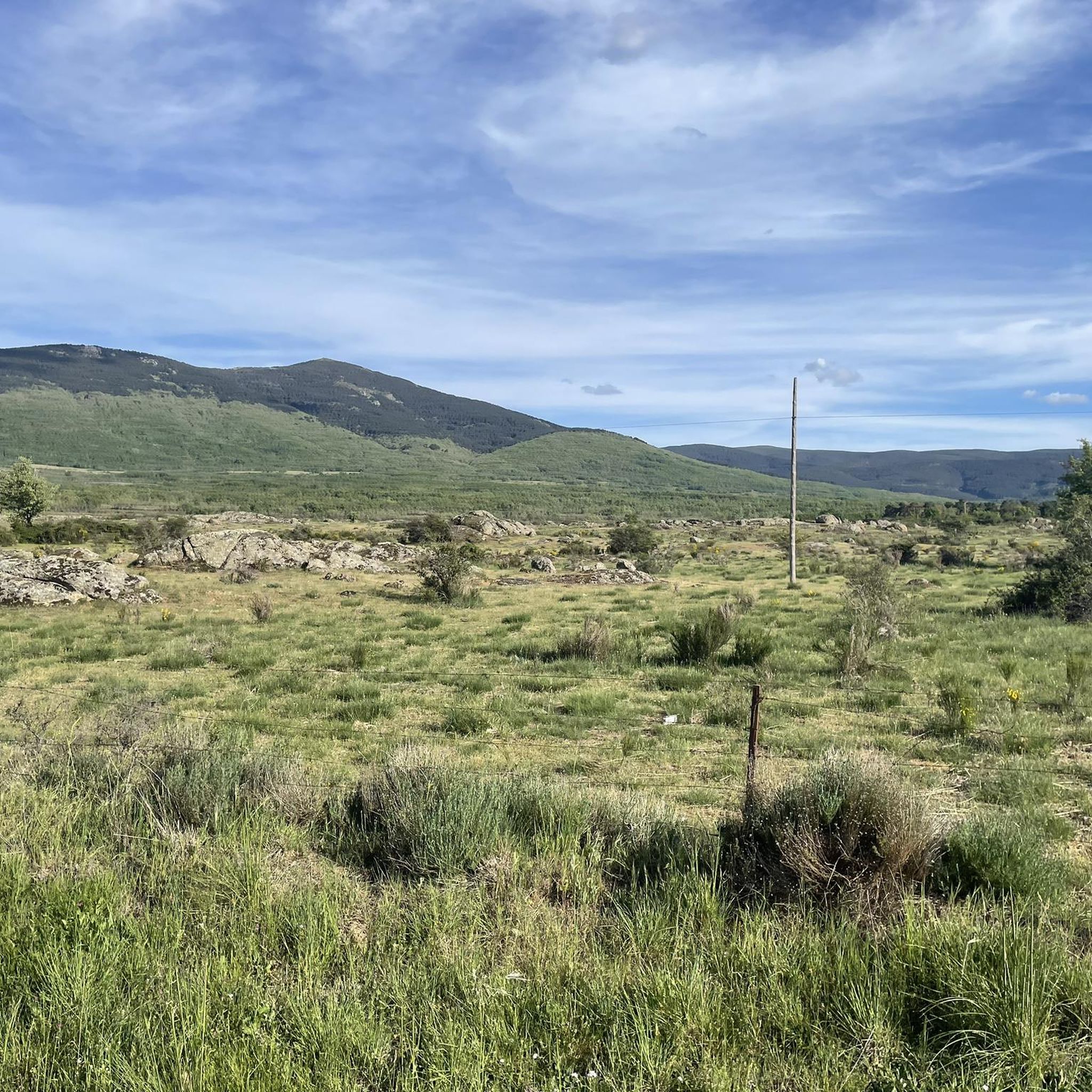
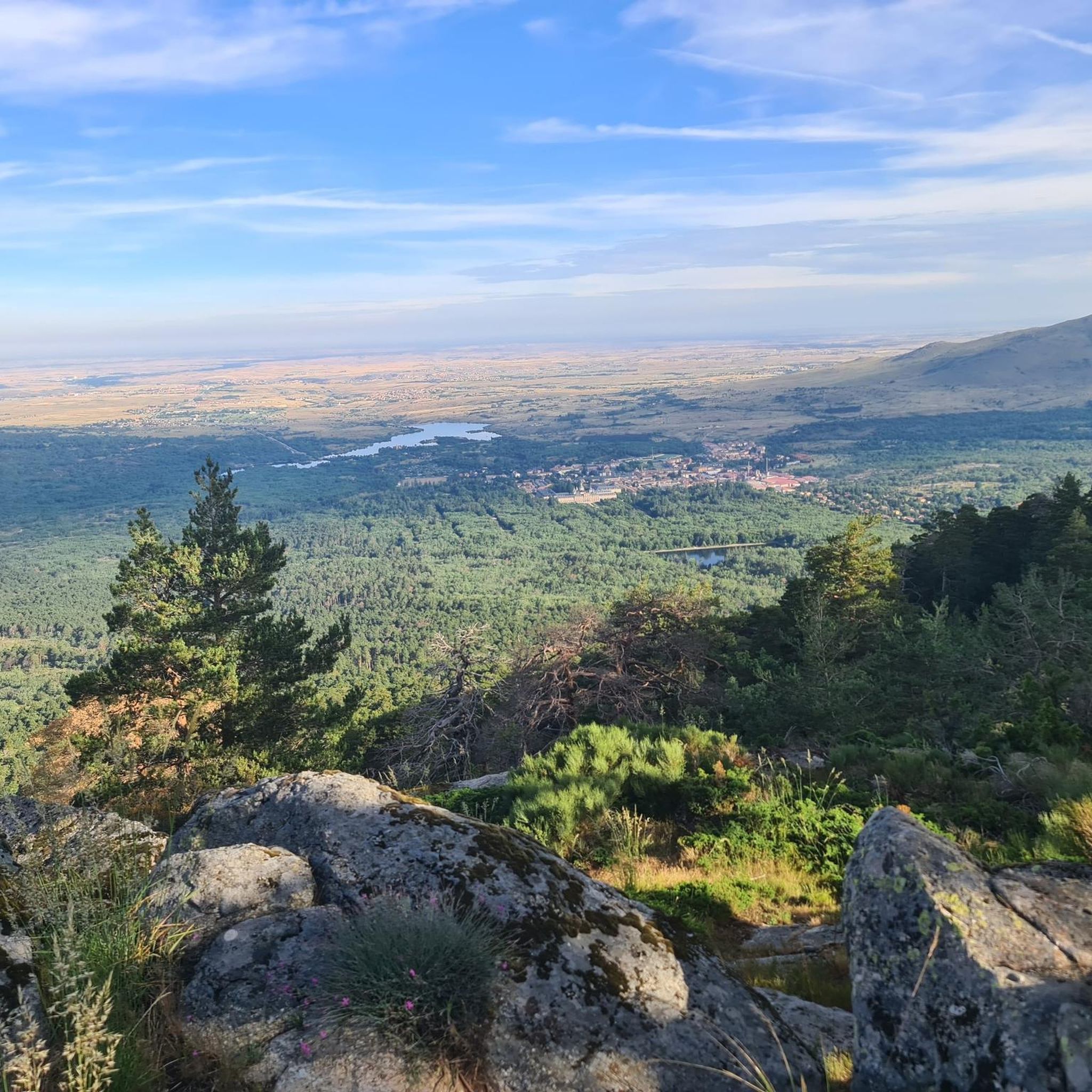
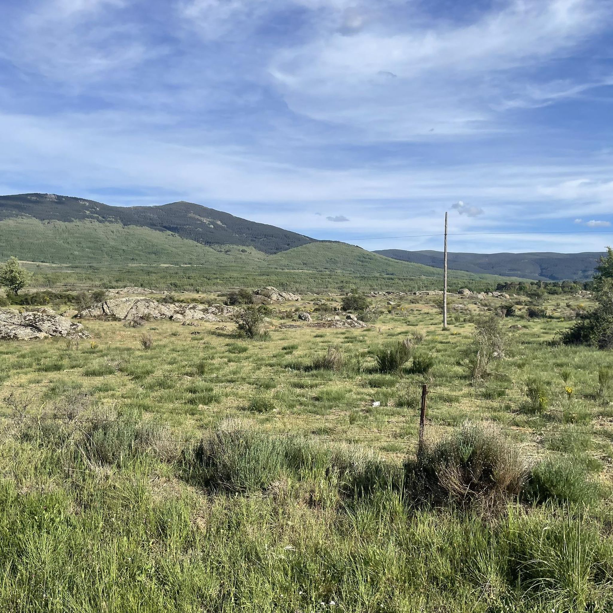

Tips from the Community

It is located in the Sierra de Guadarrama mountain range, between the municipalities of Miraflores de la Sierra and Rascafría, in the Community of Madrid. From Miraflores de la Sierra (1200m), the route ascends approximately 600m over 10km (average gradient 4–6%), and after reaching the summit, it descends 13km to Rascafría (1150m) with a gradient of 4.5–7%.
6
0

Place of extraordinary beauty, especially in spring with snow and water.
0
0

highest peak of the Carpetanos Mountains, beautiful
0
0
nice corner to enjoy the views
0
0
Pico del Nevero, the highest of the Carpetanos Mountains, with beautiful views.
0
0

This mountain pass is located in the Guadarrama Mountains, part of the Central System of the Iberian Peninsula. It connects Rascafría in the Lozoya Valley with La Granja de San Ildefonso. The Reventón Pass, located at an altitude of 2,039 m above sea level, separates the provinces of Segovia and Madrid. It is one of the highest mountain passes in the Guadarrama Mountains.
0
0
El Nevero is one of the highest and most important mountains in the Guadarrama Mountains, at 2,209 meters above sea level. It is located on the border between the Community of Madrid and the Province of Segovia. As it forms part of the Guadarrama Mountains National Park, access to it by bicycle is prohibited, as fines may apply.
0
0
Frequently Asked Questions
How many running routes are available around Santo Domingo de Pirón?
There are over 30 running routes available in the Santo Domingo de Pirón area, offering a wide variety of experiences. These include paths ranging from easy strolls to challenging mountain trails, catering to different fitness levels.
What kind of terrain can I expect on the running trails in this region?
The terrain around Santo Domingo de Pirón is highly diverse, thanks to its proximity to the Sierra de Guadarrama National Park. You can expect to run through pine forests, along river valleys, and over mountainous sections. Some paths are gentle, while others feature significant elevation changes, offering a mix of landscapes from open fields to dramatic rock formations.
Are there routes suitable for beginners or those looking for an easy run?
Yes, the region offers several routes suitable for beginners or those seeking an easier pace. While many trails are moderate or difficult, there is at least one designated easy route. These paths often feature mostly paved or gentle surfaces, providing a pleasant experience without significant elevation gains.
Are there any circular running routes in the area?
Yes, many of the running paths around Santo Domingo de Pirón are circular, allowing you to start and finish at the same point. For example, the Pico del Nevero and Lagunillas Loop from Puerto de Navafría is a popular circular option, offering mountain views and forest sections.
What natural features or landmarks can I see while running?
The running routes often pass by stunning natural features. You might encounter mountain peaks like Nevero Peak or Peñas Crecientes Summit, and mountain passes such as Navafría Pass. Some trails also lead past the Lozoya River or unique geological formations like the Devil's Wagon.
Are there any waterfalls along the running paths?
Yes, some routes in the broader Segovia region, accessible from Santo Domingo de Pirón, can lead you to beautiful waterfalls. Notably, the Chorro Grande Waterfall is a significant natural monument you might encounter on certain trails.
What is the best time of year for running in Santo Domingo de Pirón?
The best time for running largely depends on your preference for terrain and weather. Spring and autumn offer pleasant temperatures and vibrant scenery, ideal for most runners. Summer can be warm, especially at lower elevations, while winter brings the possibility of snow in the higher parts of the Sierra de Guadarrama, offering a different, more challenging experience.
Are there any challenging running routes for experienced runners?
Absolutely. For experienced runners seeking a challenge, there are 11 difficult routes available. Trails like the Navafría Pass – Nevero Peak loop from Puerto de Navafría offer significant elevation gains and rugged mountain terrain, providing a demanding and rewarding experience.
What do other runners enjoy the most about jogging in Santo Domingo de Pirón?
Runners frequently praise the diverse landscapes and the opportunity to explore both forest sections and mountain views. The variety of trails, from gentle paths to more challenging ascents, is often highlighted, allowing everyone to find a suitable route. Over 280 runners have used komoot to explore this region, indicating its popularity among the running community.
Can I combine my run with other outdoor activities in the area?
Yes, the Segovia region, including Santo Domingo de Pirón, is a hub for various outdoor activities. Beyond running, you can find opportunities for hiking, cycling through the Eresma Valley, rock climbing, horseback riding, and even bird watching. The diverse natural environment makes it perfect for a multi-activity outdoor adventure.
Are there options for longer distance running?
Yes, for those looking to cover longer distances, the area provides several extended routes. For example, the Claveles Crag – Peñalara Peak loop from Rascafría is a challenging 33.9 km (21 miles) trail, perfect for endurance training or a long day out in the mountains.
Where can I find parking for the running trails?
Parking availability varies by trailhead. Many popular starting points, especially those near villages or significant natural attractions like Puerto de Navafría, typically offer designated parking areas. It's advisable to check the specific route details on komoot for information regarding parking at your chosen starting point.
Most popular routes around Santo Domingo De Pirón
Most popular attractions around Santo Domingo De Pirón

Get inspired with the komoot mobile app


Explore more
Browse the best Running Trails & Routes in other regions.
