The best road cycling routes around Santo Domingo De Pirón
4.4
(10)
701
riders
27
rides
Road cycling around Santo Domingo De Pirón is characterized by its varied terrain, featuring significant climbs over mountain passes and descents through valleys. The region offers routes that traverse diverse landscapes, from open countryside to areas near the Río Pirón valley. Cyclists can expect challenging ascents and rewarding views across the Segovia province. This area provides a range of road cycling routes suitable for those seeking demanding climbs and long-distance rides.
Best road cycling routes around Santo Domingo De Pirón
…Last updated: October 1, 2026
82
riders
164km
09:11
3,230m
3,230m
Hard road ride. Very good fitness required. Some segments of this route may be unpaved and difficult to ride.
4.0
(1)
78
riders
69.4km
03:59
1,480m
1,480m
Hard road ride. Very good fitness required. Some segments of this route may be unpaved and difficult to ride.

38
riders
114km
06:45
2,340m
2,340m
Hard road ride. Very good fitness required. Mostly well-paved surfaces and easy to ride.
22
riders
101km
04:36
1,150m
1,150m
Hard road ride. Very good fitness required. Mostly well-paved surfaces and easy to ride.
29
riders
52.5km
02:23
600m
600m
Moderate road ride. Good fitness required. Mostly well-paved surfaces and easy to ride.
Get access to more routes and recommendations from other explorers.
Already have an account?
Our route recommendations are based on thousands of hikes, rides, and runs completed by other people on komoot.
Start today with a free account
Your next adventure awaits.
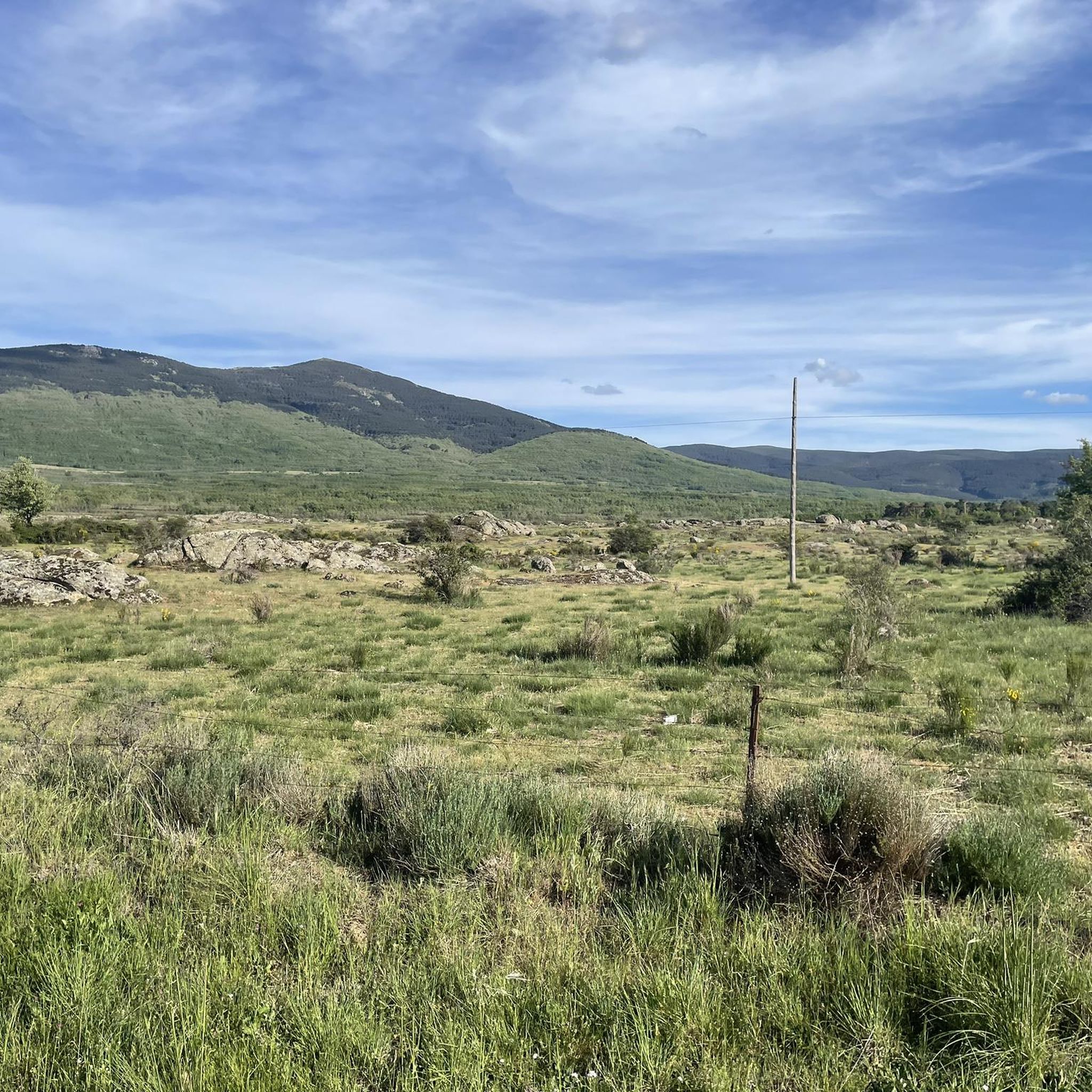
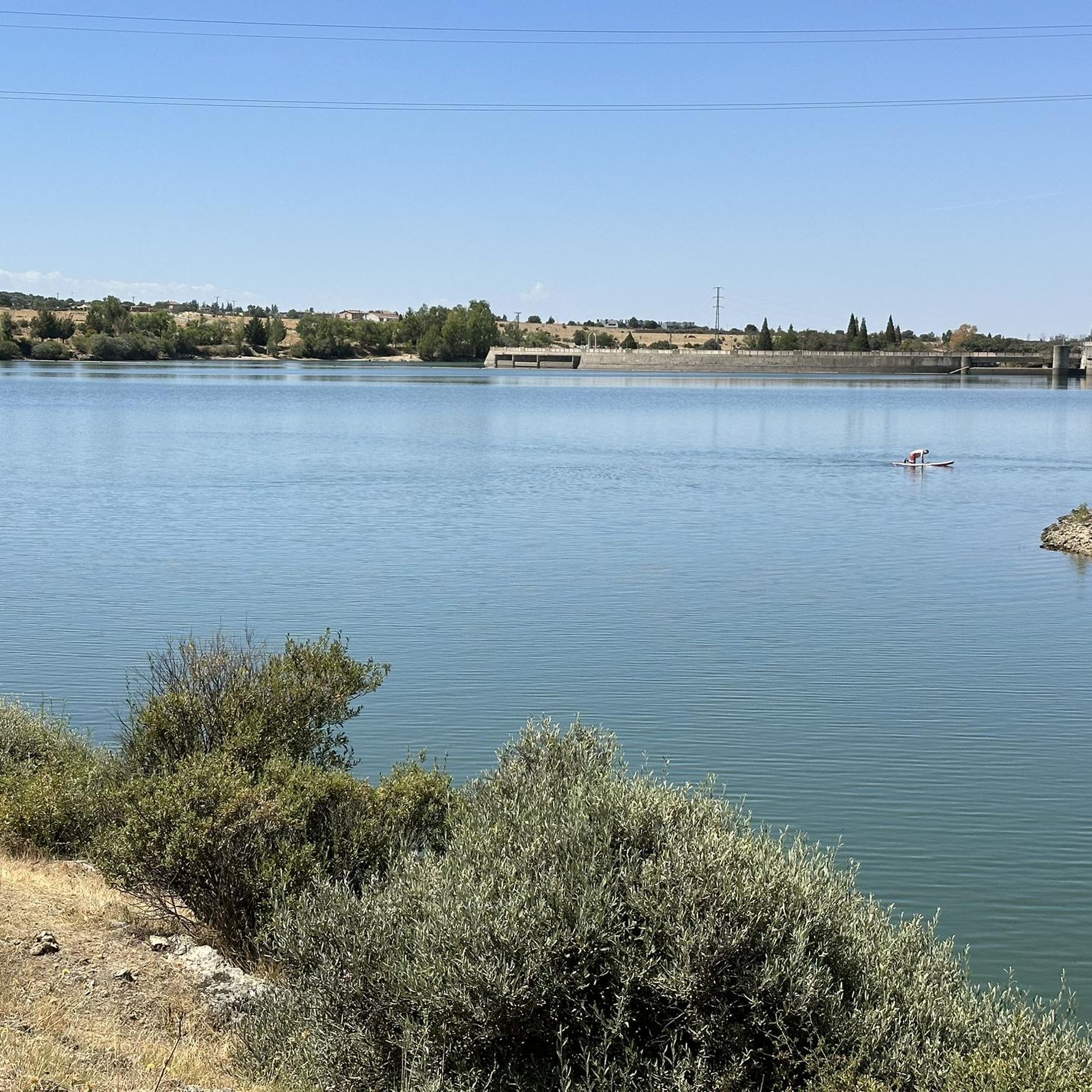

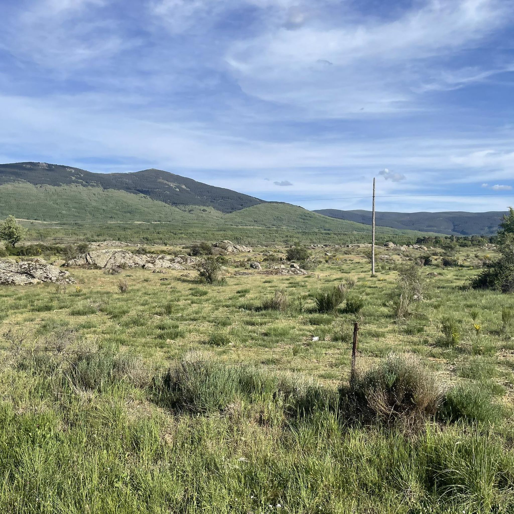
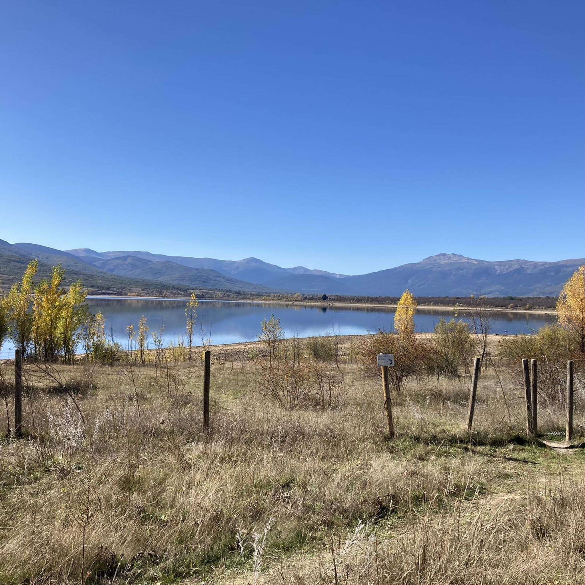
Tips from the Community

Watch out for the asphalt on the descent, there are potholes and the surface is quite uneven. You won't even notice it on the climb.
0
0


It is located in the Sierra de Guadarrama mountain range, between the municipalities of Miraflores de la Sierra and Rascafría, in the Community of Madrid. From Miraflores de la Sierra (1200m), the route ascends approximately 600m over 10km (average gradient 4–6%), and after reaching the summit, it descends 13km to Rascafría (1150m) with a gradient of 4.5–7%.
6
0
It's a classic climb in the Vuelta a España and in cyclotourism events like the Perico Delgado ride. The switchbacks section is very demanding: The first 4 km are gentle (2-3%). From the Puente de la Cantina (Cantina Bridge), ramps of 6-7% begin. Between km 6 and 8 are the five tightest bends, almost linked together, in a wooded area. The final kilometer has a steep ramp before reaching the summit.
1
0
They are located on the Segovia side of the Navacerrada Pass, on the CL-601 road (formerly the N-601), which connects La Granja de San Ildefonso with the pass. Approximate altitude: between 1,400 m and 1,700 m. There are seven hairpin bends that traverse the foothills of the Sierra de Guadarrama mountain range. Total length of the pass on this side: 13.6 km, with a 669 m elevation gain and an average gradient of 4.9%. The steepest ramps are in the switchbacks, with gradients of 6-8% and occasional sections reaching 9%. Summit at the Navacerrada Pass (1,856 m).
1
0
The name comes from the stone boundary markers erected in the 18th century to demarcate lands acquired by Charles III for hunting. During the Spanish Civil War, it was a strategic area with a Republican detachment stationed there. It formerly housed the Valcotos ski resort, which no longer exists.
1
0

A beautiful town in the Sierra de Madrid, with particularly good water.
0
0

The Siete Revueltas are one of the most iconic sections of the road that ascends to the Navacerrada Pass. This section consists of seven hairpin bends, one after the other, marking the final and toughest part of the climb from the Segovia side.
0
0
Frequently Asked Questions
What is the typical terrain like for road cycling around Santo Domingo De Pirón?
Road cycling in this area is characterized by varied terrain, featuring significant climbs over mountain passes and descents through valleys. You can expect routes that traverse diverse landscapes, from open countryside to areas near the Río Pirón valley, offering challenging ascents and rewarding views across the Segovia province.
Are there challenging climbs for experienced road cyclists in Santo Domingo De Pirón?
Yes, the region is well-suited for experienced road cyclists seeking demanding climbs. Many routes include significant mountain pass ascents. For instance, the route La Morcuera Pass – Puerto de Canencia climb loop from Torrecaballeros is a difficult 99.0-mile trail featuring substantial mountain pass climbs.
What kind of difficulty levels can I expect on road cycling routes here?
The road cycling routes around Santo Domingo De Pirón offer a range of difficulty levels, from moderate to difficult. Out of 28 available routes, 17 are classified as moderate and 9 as difficult, catering to those seeking demanding climbs and long-distance rides.
What natural features can I expect to see while road cycling in the area?
While road cycling, you'll encounter mountain passes, river valleys, and open countryside. Notable natural features include the Río Pirón valley and various peaks. You might also cycle near significant mountain passes like Navafría Pass.
Are there any notable landmarks or viewpoints along the road cycling routes?
Yes, several routes offer access to notable landmarks and viewpoints. For example, you could cycle past the Plaza de España in Rascafría or near the Monastery of El Paular. The region also features various summits like Nevero Peak, which can be seen from certain routes.
Can I cycle past any mountain passes or peaks?
Absolutely. The region is known for its mountain passes. Routes like Navafría Pass – Puerto de Navafría loop from Santo Domingo de Pirón specifically lead through mountain passes. You can also find highlights such as Navafría Pass and Nevero Peak in the vicinity.
What do other road cyclists enjoy the most about road cycling in Santo Domingo De Pirón?
The area is highly rated by the komoot community, with an average score of 4.4 stars from over 10 reviews. Cyclists often praise the varied terrain, the challenging ascents over mountain passes, and the rewarding views across the Segovia province.
Are there any loop road cycling routes available?
Yes, many of the road cycling routes are designed as loops. Examples include La Morcuera Pass – Puerto de Canencia climb loop from Torrecaballeros and Plaza de España, Rascafría – La Morcuera Pass loop from Collado Hermoso, offering extensive climbs and panoramic views.
Are there any moderate-difficulty routes for road cycling?
Yes, out of the 28 road cycling routes in the area, 17 are classified as moderate. An example of a moderate route is Stone Bridge of the Río Viejo – Sotosalbos loop from Peña Ahumada, which covers 32.0 miles.
What is the best time of year for road biking in Segovia province?
While specific weather data isn't provided, road cycling is generally popular in the region. Given the presence of mountain passes, spring and autumn typically offer pleasant temperatures for cycling, avoiding the peak heat of summer or potential winter snow at higher elevations.
Are there options for long-distance road cycling?
Yes, the area offers several long-distance road cycling routes. For instance, La Morcuera Pass – Puerto de Canencia climb loop from Torrecaballeros is a challenging 99.0-mile route, and View of Sepúlveda – Sepúlveda loop from Torrecaballeros covers over 60 miles.
Most popular routes around Santo Domingo De Pirón
Most popular attractions around Santo Domingo De Pirón

Get inspired with the komoot mobile app


Explore more
Browse the best Road cycling routes in other regions.
