The best walks and hikes around Santo Domingo De Pirón
4.6
(341)
2,470
hikers
97
hikes
Hiking around Santo Domingo De Pirón offers a diverse landscape characterized by mountain peaks, reservoirs, and varied terrain suitable for different skill levels. The region features a network of trails that traverse both open areas and forested sections, providing opportunities for exploration. Many hiking trails around Santo Domingo De Pirón include sections with significant elevation changes, alongside more gentle paths. Circular hikes Santo Domingo De Pirón are common, allowing for varied experiences.
Best hiking trails around Santo Domingo De Pirón
…Last updated: October 11, 2026
1
hikers
24.7km
08:48
970m
970m
Hard hike. Very good fitness required. Mostly accessible paths. Sure-footedness required.
3.0
(2)
7
hikers
Hard hike. Very good fitness required. Easily-accessible paths. Suitable for all skill levels.

7
hikers
19.4km
06:26
750m
740m
Hard hike. Very good fitness required. Mostly accessible paths. Sure-footedness required.
5.0
(1)
3
hikers
6.62km
01:47
80m
80m
Easy hike. Great for any fitness level. Easily-accessible paths. Suitable for all skill levels.
Get access to more routes and recommendations from other explorers.
Already have an account?
Our route recommendations are based on thousands of hikes, rides, and runs completed by other people on komoot.
Start today with a free account
Your next adventure awaits.

Tips from the Community

Mountain pass between Segovia and Madrid.
0
0

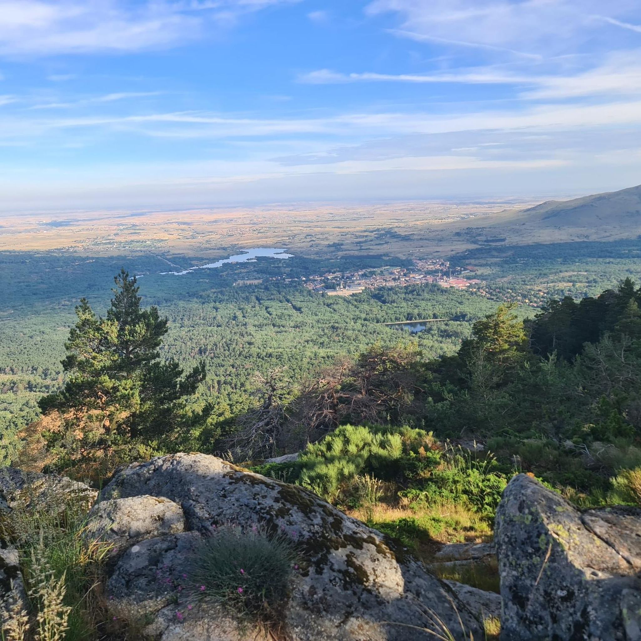
highest peak of the Carpetanos Mountains, beautiful
0
0
Pico del Nevero, the highest of the Carpetanos Mountains, with beautiful views.
0
0

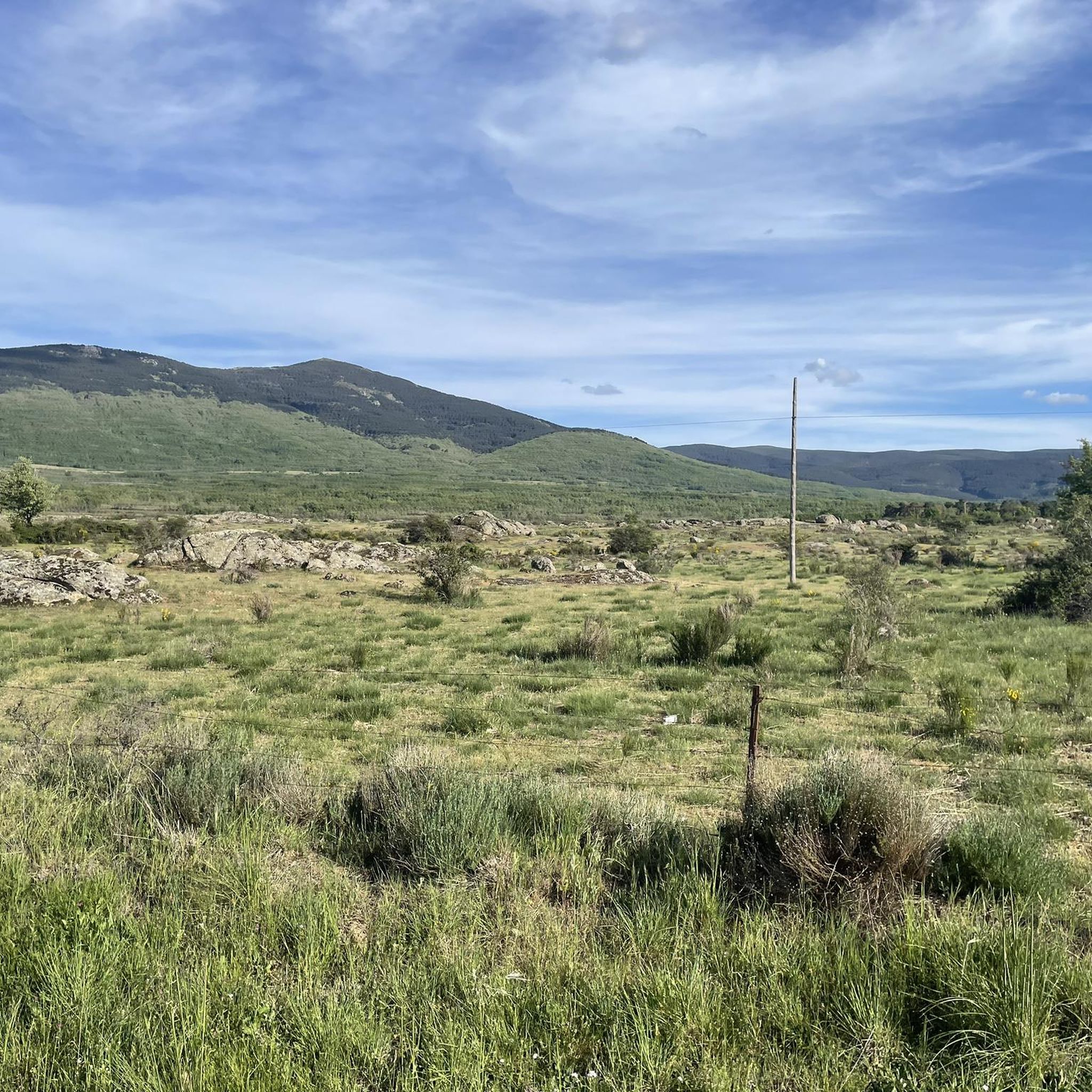
The Malagosto Pass or Malangosto Pass is a mountain pass located in the Guadarrama Mountains, inland on the Iberian Peninsula. The route that crosses it connects the Spanish provinces of Segovia and Madrid. It is located between the Reventón and Navafría mountain passes. The Malagosto Pass, located at an altitude of 1,928 m above sea level, separates the provinces of Segovia and Madrid.
0
0
Last winter of 2023, Pico Nevero lost its Geodesic, which detached itself from the cement landmark on which it was located and rolled through the ice and snow about 50 meters below. + R.I.P. + the Pico Nevero Geodesic.
1
0

Very well-kept town, its church is worth visiting, a jewel of Castilian Romanesque.
1
0

One of several transhumance ports available to the Montes Carpetanos in the Middle Ages. Here we will find the stone fence, where the legend is carved: "Puerto del Malagosto or Puerto del Libro del Buen Amor Years 1330 - 1,929 m J.A.G."
1
0
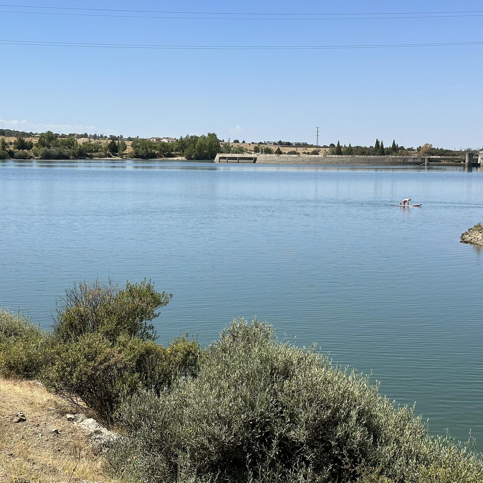
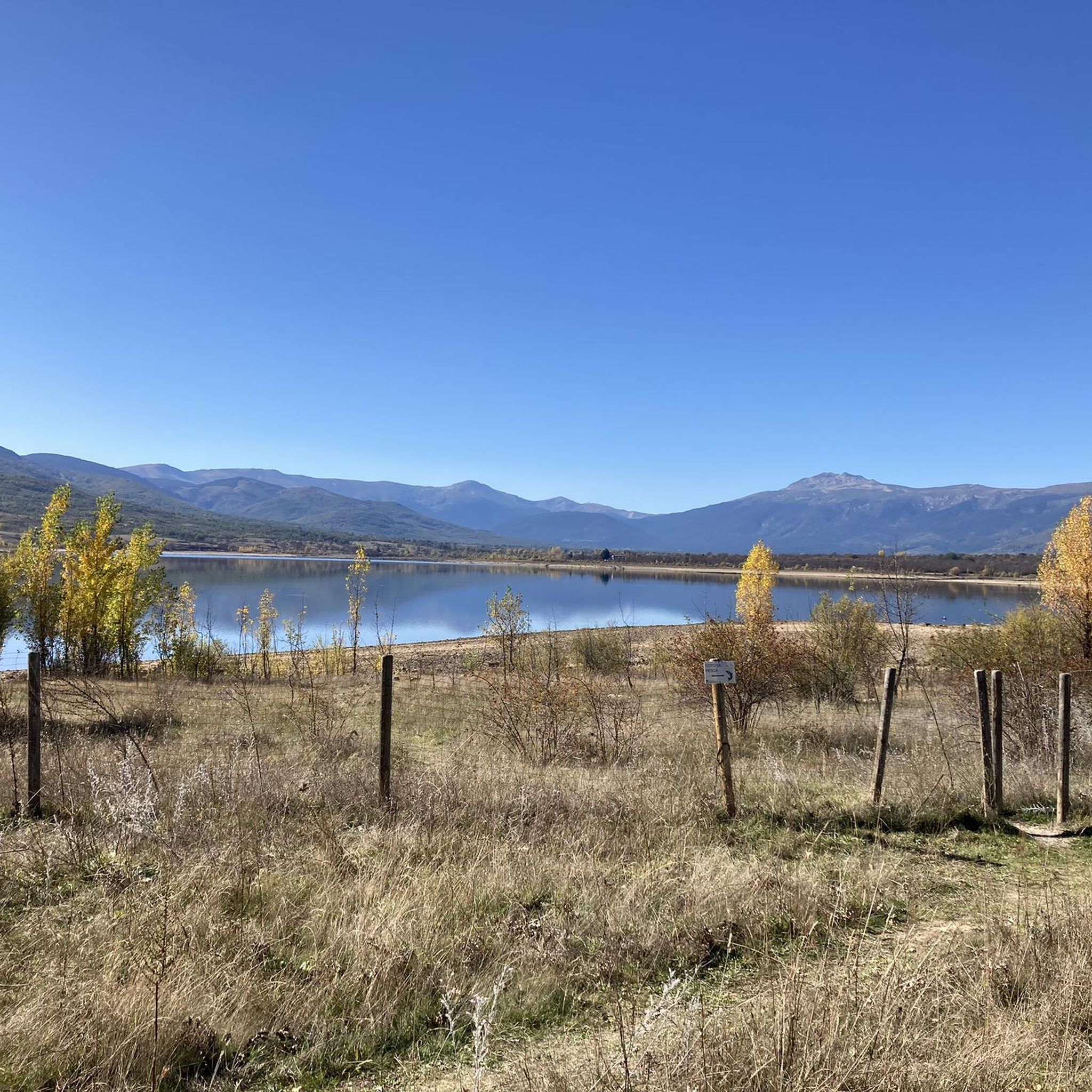
Reservoir located in a very picturesque place, so it is worth going through the dam and enjoying the landscape.
1
0
Frequently Asked Questions
How many hiking trails are available in Santo Domingo De Pirón?
There are over 90 hiking routes around Santo Domingo De Pirón, offering a wide range of experiences. These include 22 easy, 44 moderate, and 24 difficult trails, ensuring options for all skill levels.
Are there easy hiking options suitable for beginners or families?
Yes, Santo Domingo De Pirón offers 22 easy hiking routes perfect for beginners or families. A great option is the Sotosalbos loop from Sotosalbos, which is 6.9 km long and features minimal elevation gain, making it a pleasant walk for all.
Can I find circular hiking routes in the area?
Circular hikes are common in Santo Domingo De Pirón, allowing you to start and end your journey in the same location. An example is the Pico del Nevero — circular desde el Embalse del Pirón, a challenging 24.7 km route that offers a full loop experience.
What is the typical length and duration of hikes around Santo Domingo De Pirón?
Hikes in Santo Domingo De Pirón vary significantly in length and duration. You can find shorter routes like the 6.9 km Sotosalbos loop from Sotosalbos, which takes about 1 hour 50 minutes, to longer, more challenging trails such as the 24.7 km Pico del Nevero — circular desde el Embalse del Pirón, which can take nearly 9 hours to complete.
Are there any specific attractions or landmarks to see along the hiking trails?
Yes, the region boasts several notable attractions. Hikers can explore the historic Monastery of El Paular, enjoy views from Nevero Peak, or discover natural features like the Lozoya River and Chorro Grande Waterfall.
What do other hikers enjoy most about hiking in Santo Domingo De Pirón?
The hiking trails in Santo Domingo De Pirón are highly rated by the komoot community, with an average score of 4.6 stars from over 300 reviews. Hikers often praise the diverse landscape, which includes mountain peaks, reservoirs, and a mix of open and forested terrain, providing varied and engaging experiences.
Are there any routes that feature mountain passes or expansive views?
Absolutely. Many trails in the region traverse mountain passes, offering breathtaking panoramic views. For instance, the Chozo de la Chata (Malangosto) – Malagosto Pass loop from Pradera de Navalafuente includes a significant mountain pass section with expansive vistas.
What is the best time of year to go hiking in Santo Domingo De Pirón?
The region's diverse landscape makes it suitable for hiking across multiple seasons. While specific recommendations depend on the trail's elevation and exposure, spring and autumn generally offer pleasant temperatures and vibrant scenery. Summer can be ideal for higher-altitude trails, while winter might require specific gear for snowy conditions, especially on mountain peaks.
Are there any trails that pass by water features like rivers or waterfalls?
Yes, the area features natural water elements. You can find trails that lead to or pass by the Lozoya River and the picturesque Chorro Grande Waterfall, offering refreshing stops and scenic views.
What kind of terrain can I expect on the hiking trails?
The terrain around Santo Domingo De Pirón is quite varied. You can expect a mix of mountain paths with significant elevation changes, alongside more gentle, open areas. Trails often traverse both forested sections and exposed landscapes, providing a diverse hiking experience.
Are there any moderate difficulty hikes for those looking for a bit more challenge?
Yes, Santo Domingo De Pirón has 44 moderate difficulty routes. A good example is the Encinas loop from Pelayos del Arroyo, which is 10.4 km long and takes about 2 hours 43 minutes, offering a balanced challenge without being overly strenuous.
Most popular routes around Santo Domingo De Pirón
Most popular attractions around Santo Domingo De Pirón

Get inspired with the komoot mobile app


Explore more
Browse the best Hikes in other regions.
