The best running trails around Argamasilla De Calatrava
3.9
(8)
499
runners
75
runs
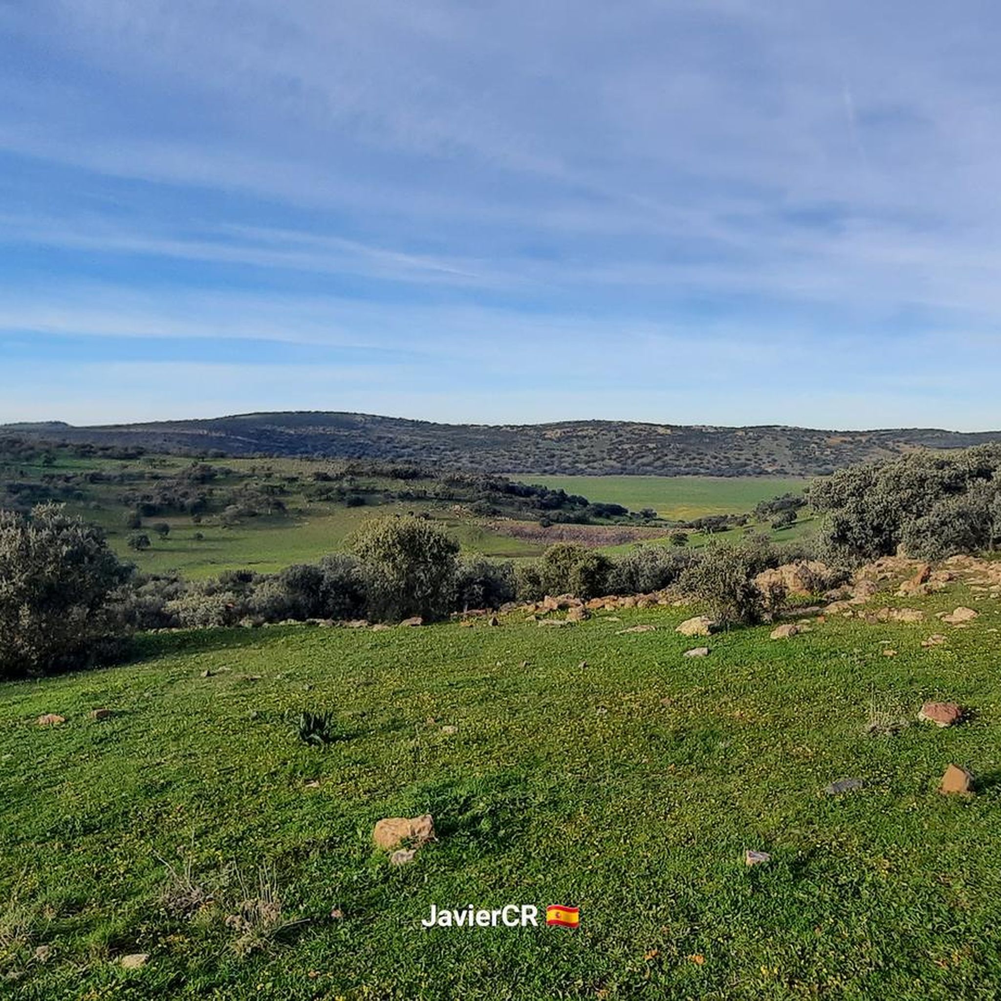
Jogging routes around Argamasilla De Calatrava offer diverse terrain within a region shaped by its volcanic origins and rural character. The landscape features numerous volcanic outcrops, part of the Campo de Calatrava Volcanic Massif, providing varied running paths. Runners can explore areas around natural wetlands like Laguna Blanca or follow paths along the Tirteafuera River. The predominantly agricultural surroundings provide open spaces and quiet country roads, ideal for running amidst natural scenery and gentle hills.
Best jogging routes around Argamasilla…
Last updated: October 1, 2026
6
runners
Moderate run. Good fitness required. Mostly paved surfaces. Suitable for all skill levels.
8
runners
10.3km
01:05
80m
80m
Moderate run. Good fitness required. Mostly paved surfaces. Suitable for all skill levels.

4
runners
9.73km
01:03
40m
40m
Moderate run. Good fitness required. Mostly paved surfaces. Suitable for all skill levels.
7
runners
5.32km
00:33
50m
50m
Moderate run. Good fitness required. Mostly paved surfaces. Suitable for all skill levels.
6
runners
16.0km
02:05
460m
460m
Hard run. Very good fitness required. Mostly paved surfaces. Suitable for all skill levels.
Get access to more routes and recommendations from other explorers.
Already have an account?
Our route recommendations are based on thousands of hikes, rides, and runs completed by other people on komoot.
Start today with a free account
Your next adventure awaits.
Popular around Argamasilla De Calatrava

Other adventures around Argamasilla De Calatrava

Tips from the Community

Puertollano is a Spanish town in the province of Ciudad Real, in the autonomous community of Castilla-La Mancha. Traditionally, it has been associated with oil shale and coal mining and industry. The area in which Puertollano is located has been inhabited since prehistory, with archaeological remains found that correspond to Homo heidelbergensis and Homo antecessor. During the Middle Ages the city was born, linked to the repopulation process of Castile during the 13th century. In the 16th century, Puertollano received the rank of town, a privilege granted by Philip II. At that time Puertollano was an important agricultural and livestock center. The demographic consolidation of the city occurred at the end of the 19th century, with the development of coal mining and the inauguration of the train line between Madrid and Badajoz. Its cultural heritage It corresponds mainly to religious buildings, such as the church of Nuestra Señora de la Soledad (14th century), the church of the Virgen de Gracia (15th century) and the church of the Asunción (16th century). There is also a mining museum, and an old medicinal sour water spa, known as the Bath House, which today is a municipal service to citizens.
1
0

River that crosses different towns starting from the Sierra de Calatrava between Aldea del Rey and Argamasilla de Calatrava. It is a tributary of the Guadiana River.
14
0
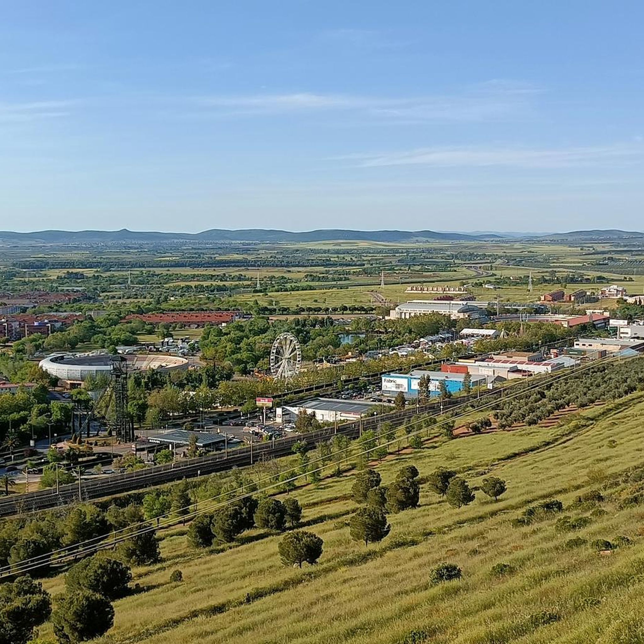
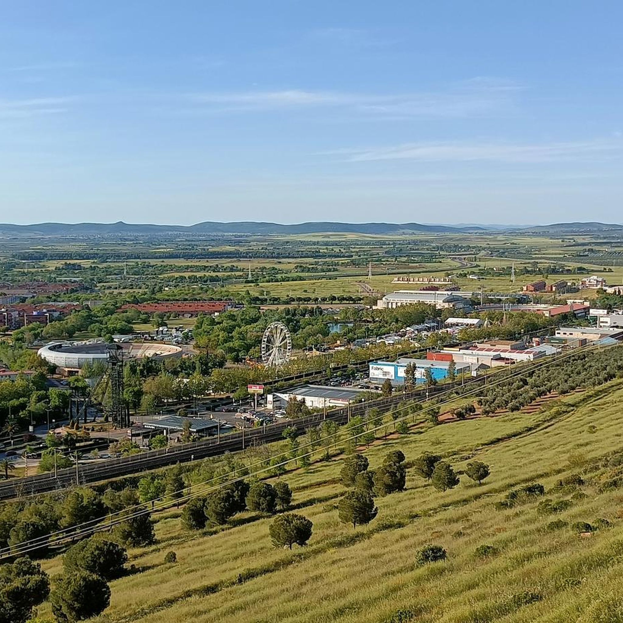
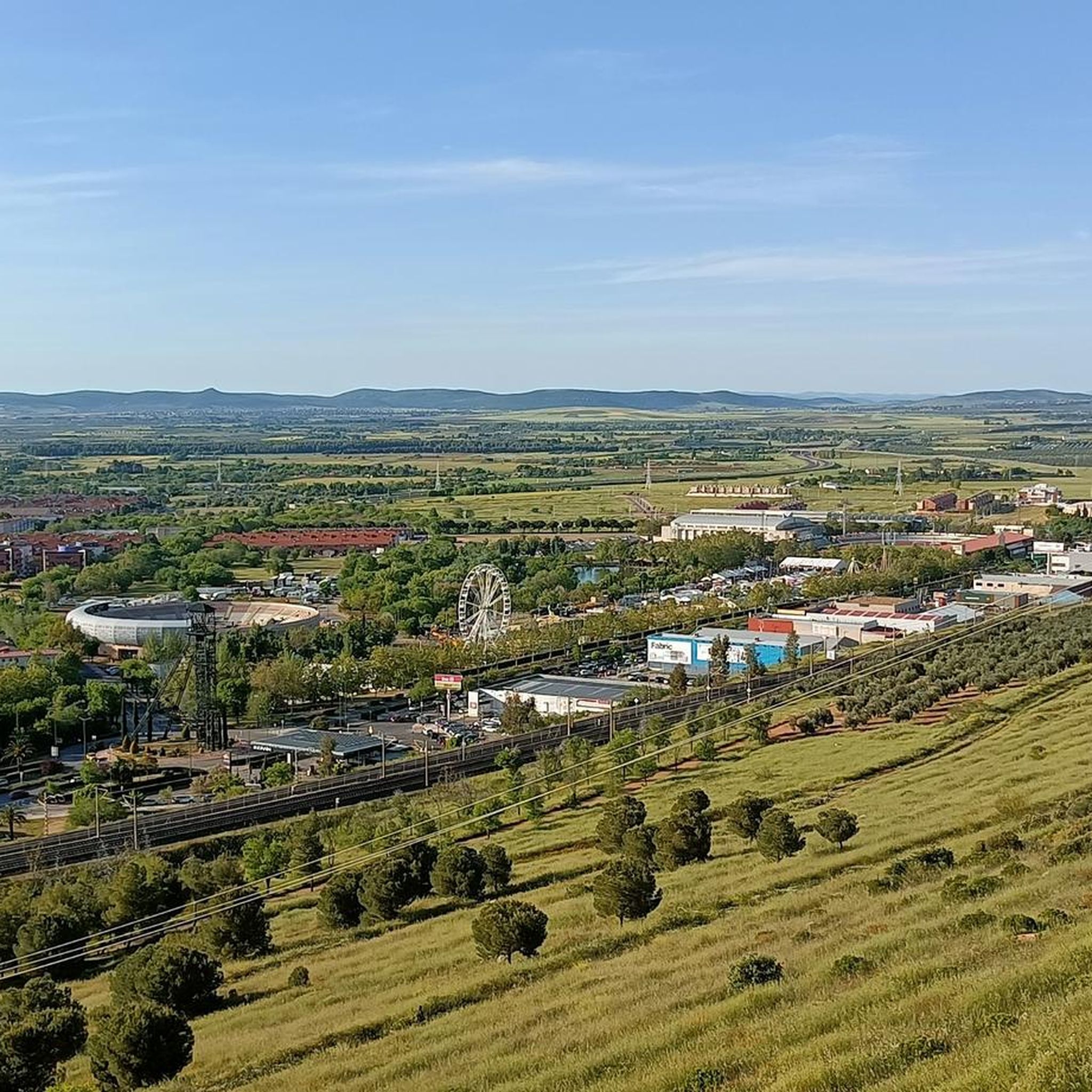
Located at the foot of the Monument to the Miner, an imposing bronze sculpture, the work of Pepe Noja, which represents the mining history of the city, borders the volcanic area of Campo de Calatrava and in its vicinity is the Valley of Alcudia. Mining activity is of special importance with the Mining Museum, a building that surrounds an old headframe and simulates a coal selection workshop. On its two floors, the museum discourse addresses the transformation of Puertollano into an industrial city due to the discovery of coal. The mining tradition of this town is very present in its different corners, such as the Castillete de Santa María, which welcomes its visitors at the entrance to the city. It is also worth seeing the Monument to the Miner, mentioned above and located on the Cerro de Santa Ana, from which we will obtain a fantastic panoramic view of the city and its surroundings.
7
0
Located at the foot of the Monument to the Miner, an imposing bronze sculpture, the work of Pepe Noja, which represents the mining history of the city, borders the volcanic area of Campo de Calatrava and in its vicinity is the Valley of Alcudia. Mining activity is of special importance with the Mining Museum, a building that surrounds an old headframe and simulates a coal selection workshop. On its two floors, the museum discourse addresses the transformation of Puertollano into an industrial city due to the discovery of coal. The mining tradition of this town is very present in its different corners, such as the Castillete de Santa María, which welcomes its visitors at the entrance to the city. It is also worth seeing the Monument to the Miner, mentioned above and located on the Cerro de Santa Ana, from which we will obtain a fantastic panoramic view of the city and its surroundings.
3
0

Historic mining industrial town at the foot of the Monument to the Miner. Located in a geological volcanic area of Campo de Calatrava and in its vicinity is the Valle de Alcudia. Some of the roads are steep like the ones in San Francisco. Stop to admire the church of Nuestra Señora de la Asunción and have a coffee or eat something in Plaza Duque.
2
0
The River Triteafuera passes through the city and regularly dries up outside of the rainy season. The waters of the river are fed by the Sierra de Calatrava.
5
0
It is a small municipality located in a small valley of the Tirteafuera river, a tributary of the Guadiana, and is surrounded by small mountains next to the Calatrava Massif. In addition, in its municipal term, there are outcrops and volcanic lagoons.
15
0
Puertollano is a Spanish town in the province of Ciudad Real, in the autonomous community of Castilla-La Mancha. Traditionally it has been associated with oil shale and coal mining and industry. The area in which Puertollano is located was inhabited since prehistoric times, finding archaeological remains that correspond to Homo heidelbergensis and Homo antecessor. The city was born during the Middle Ages, linked to the repopulation process of Castile during the 13th century. In the 16th century, Puertollano received the rank of town, a privilege granted by Felipe II. At that time Puertollano is an important agricultural and livestock center. The demographic consolidation of the city occurs at the end of the 19th century, with the development of coal mining and the inauguration of the train line between Madrid and Badajoz. Its cultural heritage corresponds mainly to religious buildings, such as the church of Nuestra Señora de la Soledad (14th century), the church of the Virgen de Gracia (15th century) and the church of La Asunción (16th century). There is also a mining museum, and an old medicinal sour water spa, known as the Casa de Baños and which today is a municipal office for citizen assistance.
3
0
Frequently Asked Questions
How many running routes are available in Argamasilla de Calatrava?
There are over 50 running routes around Argamasilla de Calatrava, offering a variety of options for different preferences and fitness levels. The komoot community has explored these trails more than 300 times.
What kind of terrain can I expect on jogging routes in Argamasilla de Calatrava?
Jogging routes in Argamasilla de Calatrava feature diverse terrain, largely shaped by the region's volcanic origins and rural character. You can expect paths through volcanic outcrops, agricultural surroundings, gentle hills, and along riverbanks. This provides a mix of natural scenery and quiet country roads.
Are there running routes suitable for beginners or those seeking an easy run?
Yes, while many routes are moderate or difficult, there is at least one easy running route available. For example, the area offers paths that traverse rural landscapes and riverbanks, which can be less demanding. You can find a variety of options to suit your fitness level.
Are there any circular running trails in Argamasilla de Calatrava?
Yes, many of the running routes in the area are circular, allowing you to start and finish at the same point. An example is the Cerro de San Agustín by the Laguna de Almodóvar — circular from Puertollano, which is a challenging 9.7-mile loop.
Can I find running routes near natural wetlands or volcanic features?
Absolutely. The region is known for its unique natural landscapes. You can explore routes near natural wetlands like Laguna Blanca, which was formed by volcanic activity, or traverse paths through the Campo de Calatrava Volcanic Massif. These areas offer scenic views and interesting geological formations.
Are there any landmarks or points of interest to see while running?
Yes, several routes pass by interesting landmarks. You might encounter historical sites like the Palacio de la Serna or the historic Bridge over the Jabalón River. Natural attractions include the unique Laguna Blanca and the Maar and Strombolian volcano of Almodóvar del Campo.
What do other runners enjoy most about the trails in Argamasilla de Calatrava?
The running routes in Argamasilla de Calatrava are highly rated by the komoot community, with an average score of 4.0 stars. Runners often appreciate the diverse terrain, from volcanic landscapes to quiet rural paths, and the opportunity to explore the natural beauty and tranquility of the region.
Are there any running routes that follow the Jabalón River?
Yes, the region benefits from the presence of the Jabalón River, and some routes incorporate its banks. For instance, the Argamasilla de Calatrava – Río Tirteafuera loop from Argamasilla de Calatrava is a moderate 6.5-mile route that explores the river surroundings.
Are the running routes in Argamasilla de Calatrava generally dog-friendly?
While specific regulations for each trail can vary, the rural and natural character of Argamasilla de Calatrava often provides open spaces suitable for running with dogs. It's always advisable to keep your dog on a leash, especially in areas with wildlife or agricultural land, and to check local signage for any specific restrictions.
Is parking available near the running trailheads?
Given the rural nature of the area, many trailheads or starting points for routes in and around Argamasilla de Calatrava offer accessible parking. For routes starting from towns like Puertollano, public parking options are generally available. It's recommended to check the specific route details on komoot for parking suggestions.
What is a good moderate running route in the area?
A popular moderate option is the Puertollano loop from Puertollano. This 8.0-mile path features varied terrain through local surroundings and typically takes about 1 hour and 21 minutes to complete.
Are there any challenging running routes for experienced runners?
Yes, for those seeking a challenge, there are several difficult routes. The Fuente Paseo San Gregorio loop from Puertollano is a difficult 6.7-mile trail with significant elevation changes, often completed in about 1 hour and 20 minutes.
Most popular routes around Argamasilla De Calatrava
Most popular attractions around Argamasilla De Calatrava

Get inspired with the komoot mobile app


Explore more
Browse the best Running Trails & Routes in other regions.
