Argamasilla De Calatrava
Argamasilla De Calatrava
The best road cycling routes around Argamasilla De Calatrava
5.0
(7)
752
riders
40
rides
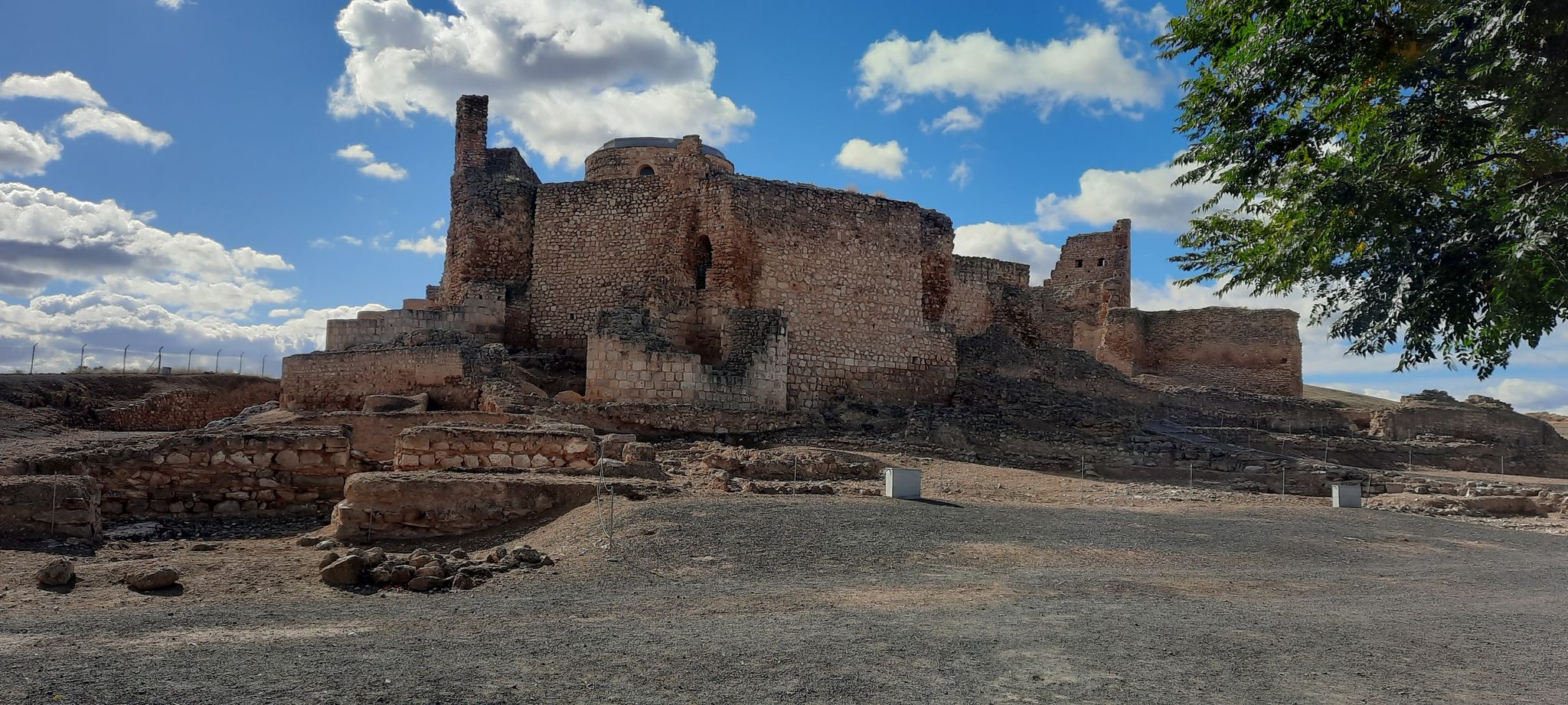
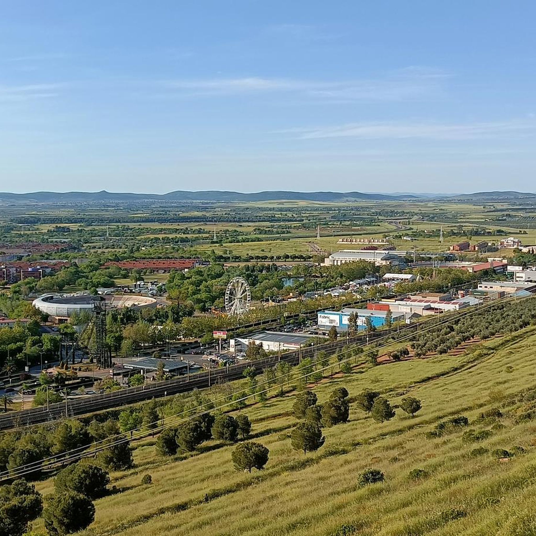
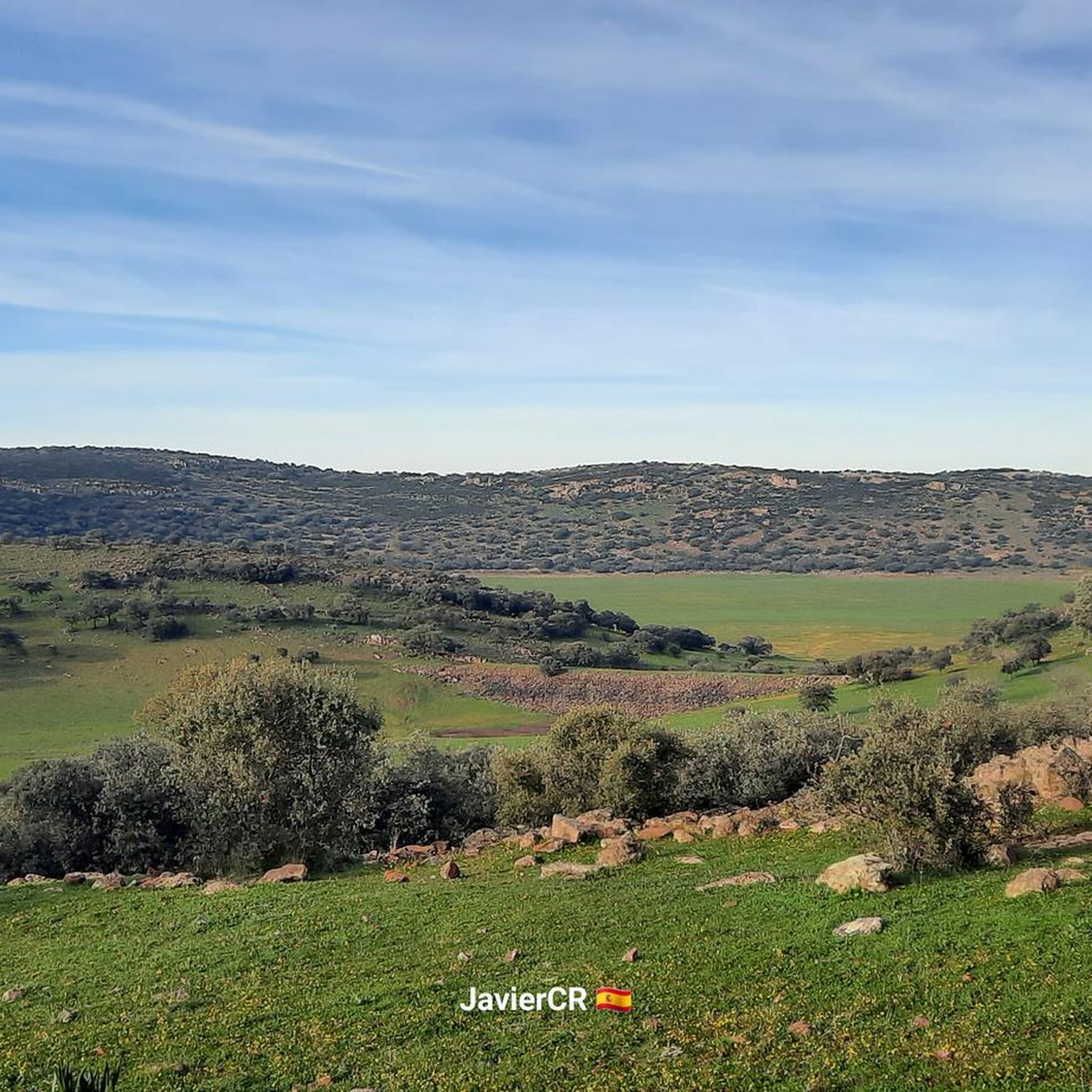
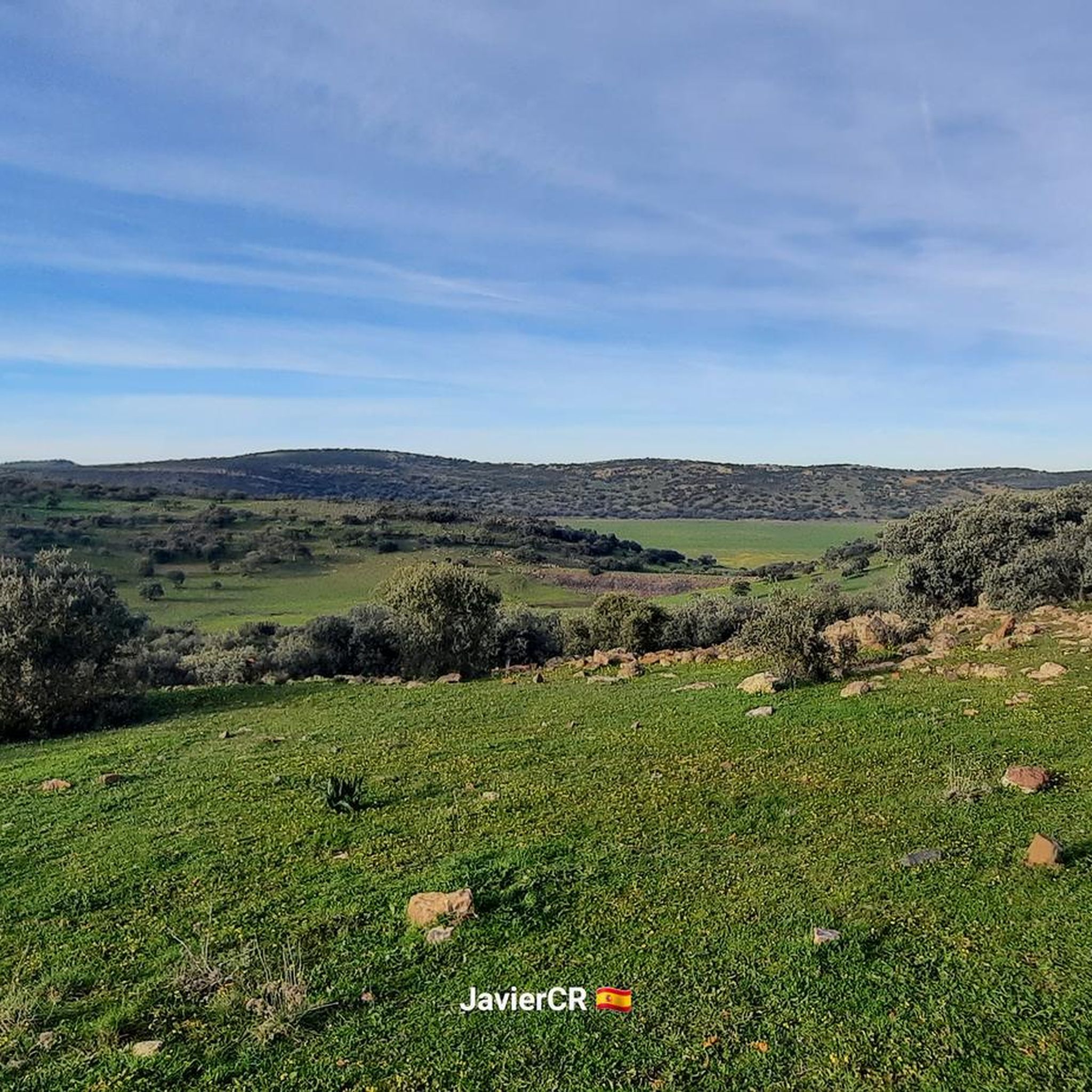
Road cycling routes around Argamasilla De Calatrava traverse a diverse landscape shaped by volcanic activity and agricultural expanses. The region features undulating roads, vast agricultural fields, vineyards, and olive groves, providing varied terrain for cyclists. Cyclists can explore the Campo de Calatrava volcanic massif, encountering volcanic formations and shallow lagoons. The area also integrates historical sites and charming villages into its network of roads.
Best road cycling routes in Argamasilla De Calatrava
- The most popular road cycling route is Puerto…
Last updated: May 25, 2026
66
riders
116km
06:16
2,330m
2,330m
Hard road ride. Very good fitness required. Mostly well-paved surfaces and easy to ride.
33
riders
Moderate road ride. Good fitness required. Mostly well-paved surfaces and easy to ride.

Sign up for free
5.0
(1)
54
riders
86.8km
04:30
1,520m
1,520m
Hard road ride. Very good fitness required. Mostly well-paved surfaces and easy to ride.
5.0
(1)
43
riders
59.6km
02:53
850m
850m
Moderate road ride. Good fitness required. Mostly well-paved surfaces and easy to ride.
31
riders
Moderate road ride. Good fitness required. Mostly well-paved surfaces and easy to ride.
Get access to more routes and recommendations from other explorers.
Sign up for free
Already have an account?
Our route recommendations are based on thousands of hikes, rides, and runs completed by other people on komoot.
Start today with a free account
Your next adventure awaits.
Login or Signup
Popular around Argamasilla De Calatrava

Other adventures around Argamasilla De Calatrava

Tips from the Community

The Ciudad Deportiva Sur in Ciudad Real is a sports center offering a wide variety of sports facilities and activities. 11-a-side artificial grass football pitch. 3 glass-topped paddle tennis courts. 4 indoor glass-topped paddle tennis courts. 2 artificial grass tennis courts. This sports center is ideal for sports such as swimming, tennis, soccer, basketball, volleyball, athletics, and more. They also offer classes and training sessions taught by qualified professionals.
14
0
This variant will connect the A-41 motorway, approximately at its junction with the N-420 road at kilometer 167 of the motorway, with the N-430 road at kilometer 299. Currently, the connection between the aforementioned roads would have to be made via the inner ring roads of Ciudad Real.
20
0
Puerto de los Rehoyos is a mountain pass located in Solana del Pino, in the province of Ciudad Real, Castilla-La Mancha. With an altitude of 986 metres, it offers magnificent views of the Sierra de la Solana and the Alcudia Valley. It is a popular place for hiking and cycling, with routes that allow you to enjoy the local fauna, such as deer and birds of prey. The CR-500 road, which passes through the pass, is in good condition and is ideal for those who enjoy outdoor activities.
3
0
In Torreón de Fuensanta they have large rooms and gardens where they can host all types of private events, with five independent and unique spaces. You can celebrate any type of event, customizing every last detail, and they offer a wide range of services.
24
0

Puertollano is a Spanish town in the province of Ciudad Real, in the autonomous community of Castilla-La Mancha. Traditionally, it has been associated with oil shale and coal mining and industry. The area in which Puertollano is located has been inhabited since prehistory, with archaeological remains found that correspond to Homo heidelbergensis and Homo antecessor. During the Middle Ages the city was born, linked to the repopulation process of Castile during the 13th century. In the 16th century, Puertollano received the rank of town, a privilege granted by Philip II. At that time Puertollano was an important agricultural and livestock center. The demographic consolidation of the city occurred at the end of the 19th century, with the development of coal mining and the inauguration of the train line between Madrid and Badajoz. Its cultural heritage It corresponds mainly to religious buildings, such as the church of Nuestra Señora de la Soledad (14th century), the church of the Virgen de Gracia (15th century) and the church of the Asunción (16th century). There is also a mining museum, and an old medicinal sour water spa, known as the Bath House, which today is a municipal service to citizens.
1
0

On the southern side of the Sierra de la Solana is this small town surrounded by immense forests and with beautiful views of the northern Sierra Madrona.
0
0
Right on the southern side of the Sierra de la Solana is this small town surrounded by immense forests and with beautiful views of the northern Sierra Madrona.
0
1
Section of the CM-4115 road through the Dehesa Labrada, good track and beautiful scenery.
8
0
Frequently Asked Questions
What kind of terrain and landscapes can I expect on road cycling routes around Argamasilla de Calatrava?
The region offers a diverse landscape shaped by volcanic activity and extensive agricultural areas. You'll encounter undulating roads, vast fields of vineyards and olive groves, and unique volcanic formations. The Campo de Calatrava volcanic massif is a notable feature, providing a distinctive backdrop to your rides.
Are there challenging road cycling routes with significant climbs in the area?
Yes, Argamasilla de Calatrava offers routes with significant elevation gains, especially in areas like the Sierra Madrona. For example, the "Puerto Madrona from Puertollano – circular via Mestanza and the Sierra Madrona" route is classified as difficult, featuring over 2,300 meters of ascent.
Are there easier road cycling routes suitable for beginners or those looking for a less strenuous ride?
While many routes have varied terrain, there are options that offer more moderate profiles. The region's agricultural fields and flatter sections provide opportunities for less strenuous rides. Komoot lists 8 easy routes in the area, perfect for a relaxed cycling experience.
What historical sites or attractions can I visit while road cycling in the region?
The area is rich in history, particularly tied to the Order of Calatrava. You can integrate visits to historical sites like the Palacio de la Serna or the Castillo de Caracuel into your rides. The town of Argamasilla de Calatrava itself has points of interest such as the Iglesia Parroquial Nuestra Señora de la Visitación.
Are there any specific viewpoints or scenic spots along the road cycling routes?
The volcanic landscape and agricultural expanses offer many scenic views. You can find picturesque routes through vineyards and olive groves. The Laguna Blanca, a natural destination formed by volcanic activity, is a unique natural highlight to explore.
Can I find circular road cycling routes around Argamasilla de Calatrava?
Yes, circular routes are popular in the region. An example is the "Aldea del Rey from Argamasilla de Calatrava – circular by the Castillo de Caracuel" route, which offers a mix of scenery and historical interest. Many routes are designed as loops, allowing you to start and end in the same location.
When is the best time of year for road cycling in Argamasilla de Calatrava?
The moderate temperatures of spring and autumn make these seasons particularly favorable for road cycling in Argamasilla de Calatrava. The pleasant weather allows you to fully enjoy the natural and historical richness of the area without the extreme heat of summer.
What do other road cyclists enjoy the most about road cycling in Argamasilla de Calatrava?
The area is highly rated by the komoot community, with an average score of 5.0 stars. Reviewers often praise the diverse terrain, from volcanic landscapes to agricultural fields, and the opportunity to combine cycling with exploring historical sites and charming villages.
Are there any routes that pass by lakes or natural water features?
Yes, the region's volcanic past has created shallow lagoons. The "Mestanza Village – Pantano del Montoro loop from Puertollano" route, for instance, leads through varied terrain including the Pantano del Montoro. You can also find the unique Laguna Blanca and Laguna de Caracuel in the vicinity.
What is the total number of road cycling routes available around Argamasilla de Calatrava?
There are over 35 road cycling routes available around Argamasilla de Calatrava, offering a wide range of options for different preferences and fitness levels.
Can I find routes that connect to nearby towns or villages?
Absolutely. Many routes are designed to connect Argamasilla de Calatrava with nearby towns and villages such as Mestanza, Retamar, Alcolea de Calatrava, and Tirteafuera. This allows for varied journeys and the chance to explore more of the region's local culture and scenery.
Are there any routes that offer a mix of natural beauty and historical elements?
Yes, the region is ideal for routes that combine natural landscapes with historical exploration. The "Hermitage of Santa Marina – Turnoff to Virgen de los Santos loop from Argamasilla de Calatrava" route offers a blend of scenic cycling and cultural points of interest like Virgen de los Santos.
Most popular routes around Argamasilla De Calatrava
Most popular attractions around Argamasilla De Calatrava

Get inspired with the komoot mobile app


Explore more
Browse the best Road cycling routes in other regions.
