The best walks and hikes around Valdeande
3.8
(3)
19
hikers
14
hikes
Hiking around Valdeande offers a diverse landscape characterized by rolling hills, juniper forests, and open countryside. The region features varied terrain with moderate elevation changes, providing opportunities for exploration through natural areas and rural paths. Trails often lead through wooded sections and offer scenic viewpoints over the surrounding valleys.
Best hiking trails around Valdeande
- The most popular hiking route is Sendero de las Loberas (PRC-BU-69) — circular desde Caleruega, a 6.8 miles (10.9 km) trail that takes 2 hours…
Last updated: May 21, 2026
4.5
(2)
9
hikers
10.9km
02:54
120m
120m
Moderate hike. Good fitness required. Mostly accessible paths. Sure-footedness required.
4
hikers
Moderate hike. Good fitness required. Easily-accessible paths. Suitable for all skill levels.

Sign up for free
2
hikers
9.64km
02:40
170m
170m
Hike the Sabinar del Arlanza Trail (PR-BU 78) through ancient juniper forests, offering panoramic views and a chance to spot griffon vulture
2
hikers
19.4km
05:26
380m
380m
Hike the difficult 12.0-mile Sendero del Alto de la Cabeza (PRC-BU 77) for panoramic views and diverse landscapes in Burgos.
Moderate hike. Good fitness required. Easily-accessible paths. Suitable for all skill levels.
Get access to more routes and recommendations from other explorers.
Sign up for free
Already have an account?
Our route recommendations are based on thousands of hikes, rides, and runs completed by other people on komoot.
Start today with a free account
Your next adventure awaits.
Login or Signup


Tips from the Community

It is also worth strolling through its surroundings among vineyards and lavender fields, enjoying viewpoints and nature trails, and learning about its wine tradition, which makes the visit a perfect combination of medieval history, religious heritage, and tranquil nature.
1
0
Caleruega, in the province of Burgos and in the heart of the Ribera del Duero, is one of the most beautiful villages in the area and stands out for its great historical and spiritual value, as it is the birthplace of Santo Domingo de Guzmán, founder of the Dominicans. The most interesting thing is to walk through its stone old town and visit the Dominican monumental complex, formed by the Royal Monastery of Santo Domingo (on the site where the saint was born), the convent and the Guzmanes tower, as well as the church of San Sebastián, where he was baptized.
2
0

A beautiful village framed in the natural park of Sabinares del Arlanza and Yecla
0
0

Alto de la Cabeza is the highest point in the Ribera del Duero with its 1343 m high. The top is crowned by a metal cross.
1
0
The hermitage is located in the Lomas de Cervera area, below Picacho and Pico Castro. An old early medieval town named “Talamanquiella” was probably located in this place.
1
0

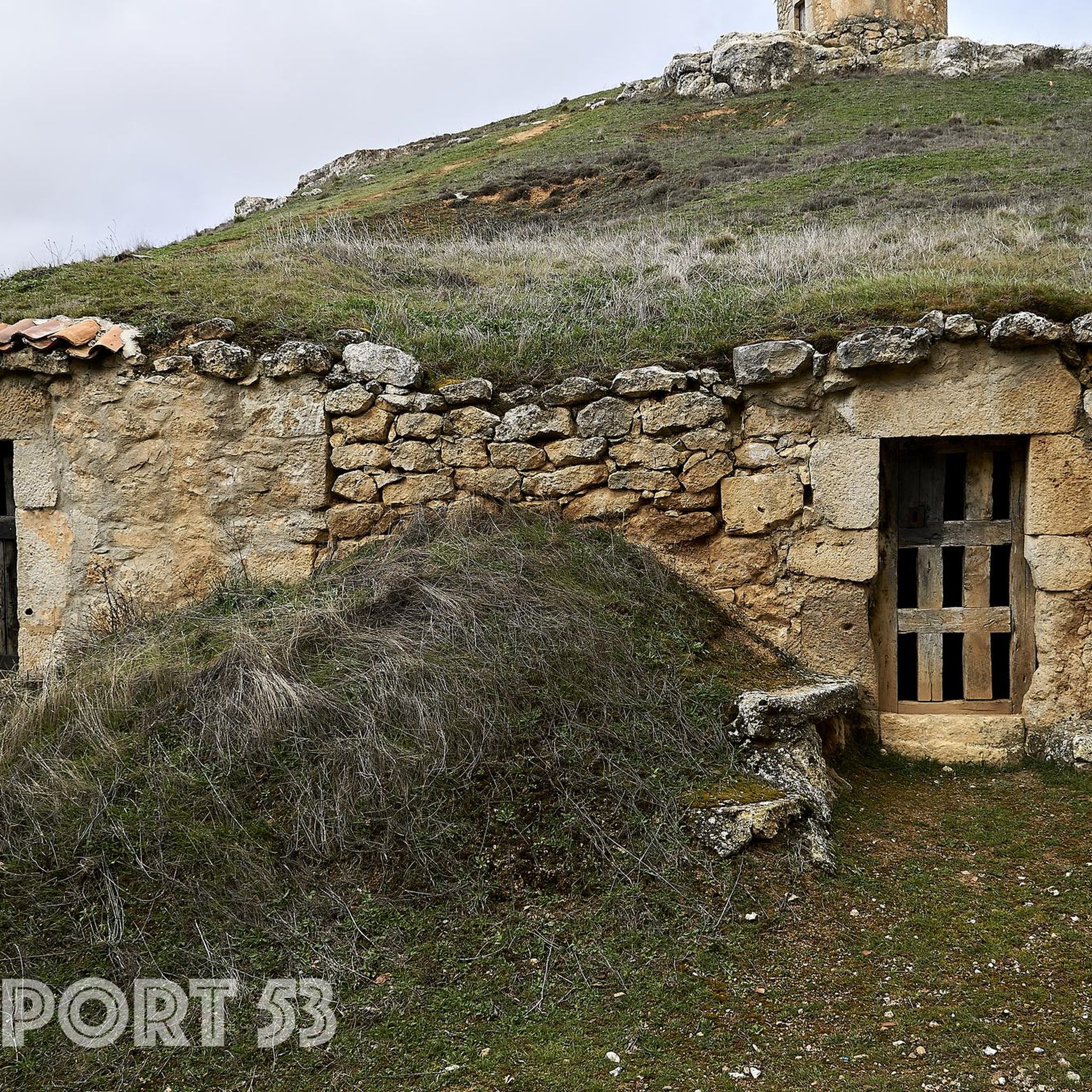
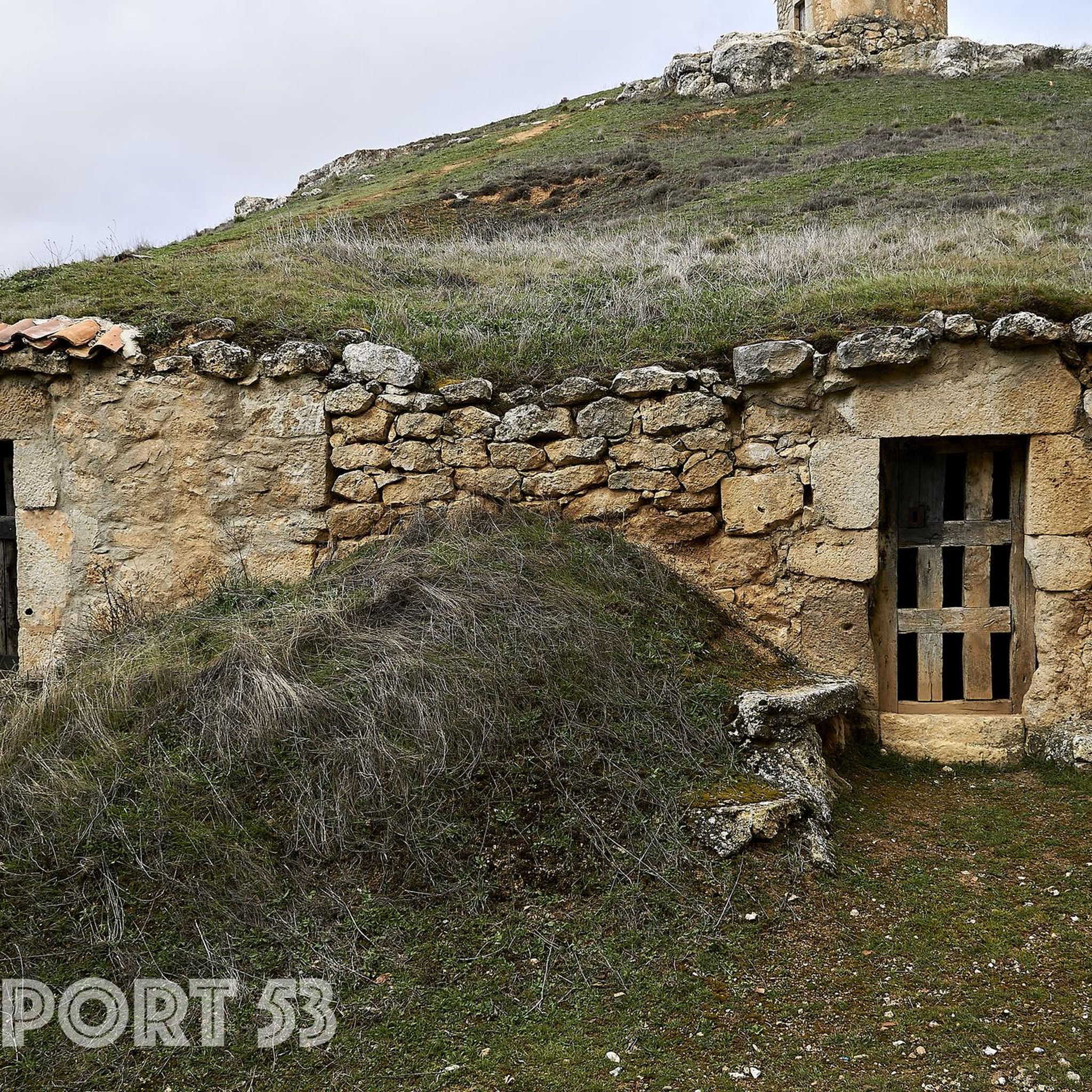
Traditional tenada or shed built in stone and circular in shape known as loberas. They were used by shepherds to protect themselves when they accompanied their flocks through these fields. Currently, they have been rehabilitated creating an ethnographic museum or interpretation center to maintain the history of this place.
1
0

Small town located north of Ciruelos de Cervera and which is a smaller town than the one mentioned above. Population that gives entrance to the Natural Park
0
0
When you take the Camino de la Serna and come from Espinosa de Cervera, you will see the Ermita de San Ginés, which is located at the top of a hill.
0
0
Frequently Asked Questions
What kind of terrain can I expect on hiking trails around Valdeande?
Hiking around Valdeande features a diverse landscape of rolling hills, juniper forests, and open countryside. You'll find varied terrain with moderate elevation changes, leading through wooded sections and offering scenic viewpoints over the surrounding valleys.
Are there easy hiking trails suitable for beginners in Valdeande?
Yes, Valdeande offers several options for less experienced hikers. Out of the 14 available routes, 3 are classified as easy, providing accessible paths to enjoy the region's natural beauty.
Are there any circular hiking routes in Valdeande?
Many of the trails in Valdeande are circular, allowing you to start and end in the same location. For example, the Sendero de las Loberas (PRC-BU-69) and the Sendero del Sabinar del Arlanza (PR-BU-78) are popular circular options.
What are some interesting places to see or landmarks along the hiking trails?
The Valdeande area offers several points of interest. You might encounter the beautiful Balsa de Arauzo de Salce, the historic San Cristóbal Hermitage and Watchtower, or the Tenadas de las Loberas Etnographic Museum. For panoramic views, consider a route that passes the Alto de la Cabeza Summit.
What do other hikers say about the trails in Valdeande?
The routes in Valdeande are highly rated by the komoot community, with an average score of 3.8 stars. Hikers often praise the varied terrain, the tranquility of the juniper forests, and the scenic viewpoints found along the paths.
Are there any challenging hikes for experienced hikers?
Yes, for those seeking a more demanding experience, Valdeande has at least one difficult trail. The Alto de la Cabeza Trail (PRC-BU 77) is a challenging 19.4 km route with significant elevation gain, perfect for experienced hikers.
Can I find trails that offer good viewpoints?
Absolutely. Many trails in Valdeande lead to scenic viewpoints. The Views of the Balsa de Arauzo de Salce — circular from Arauzo de Torre is specifically designed to showcase beautiful vistas, including the Balsa de Arauzo de Salce.
How many hiking routes are available in the Valdeande area?
There are 14 hiking routes available around Valdeande, offering a range of difficulties from easy to difficult, ensuring options for various fitness levels.
Are there trails that go through juniper forests?
Yes, juniper forests are a characteristic feature of the Valdeande region. The Sendero del Sabinar del Arlanza (PR-BU-78) is a prime example, leading hikers directly through these unique woodlands.
What is the typical duration for a moderate hike in Valdeande?
Moderate hikes in Valdeande can vary in length and time. For instance, the Sendero de las Loberas (PRC-BU-69) typically takes around 2 hours 54 minutes, while the Views of the Balsa de Arauzo de Salce route can take approximately 3 hours 53 minutes.
Is Valdeande a good destination for nature photography?
With its rolling hills, dense juniper forests, and open countryside, Valdeande provides ample opportunities for nature photography. The varied landscapes and scenic viewpoints offer diverse subjects throughout the seasons.
Most popular routes around Valdeande
Most popular attractions around Valdeande

Get inspired with the komoot mobile app


Explore more
Browse the best Hikes in other regions.
