The best running trails around Isarmündung
4.5
(526)
7,730
runners
445
runs
Jogging routes around Isarmündung traverse a unique floodplain landscape where the Isar River meets the Danube. This protected area features extensive wetlands, wet forests, and ancient river arms known as oxbows. The terrain offers a mix of unpaved roads and well-maintained trails, with low elevation changes making it suitable for various fitness levels. This environment supports a rich biodiversity, making it a crucial habitat for numerous bird species and endangered plants.
Best jogging routes around Isarmündung
- The most popular jogging route is Running loop from Maxmühle, a 6.2 miles (9.9 km) trail that takes 1 hour 1 minute to complete. This moderate route offers scenic views through the floodplain landscape.
- Another top favourite among local runners is Running loop from "Kiesweiher", a moderate 5.5 miles (8.9 km) path. This route winds through the natural riverine environment.
- Local runners also love the Running loop from Martinswand, a 4.0 miles (6.5 km) trail leading through the diverse Isarmündung landscape, often completed in about 40 minutes.
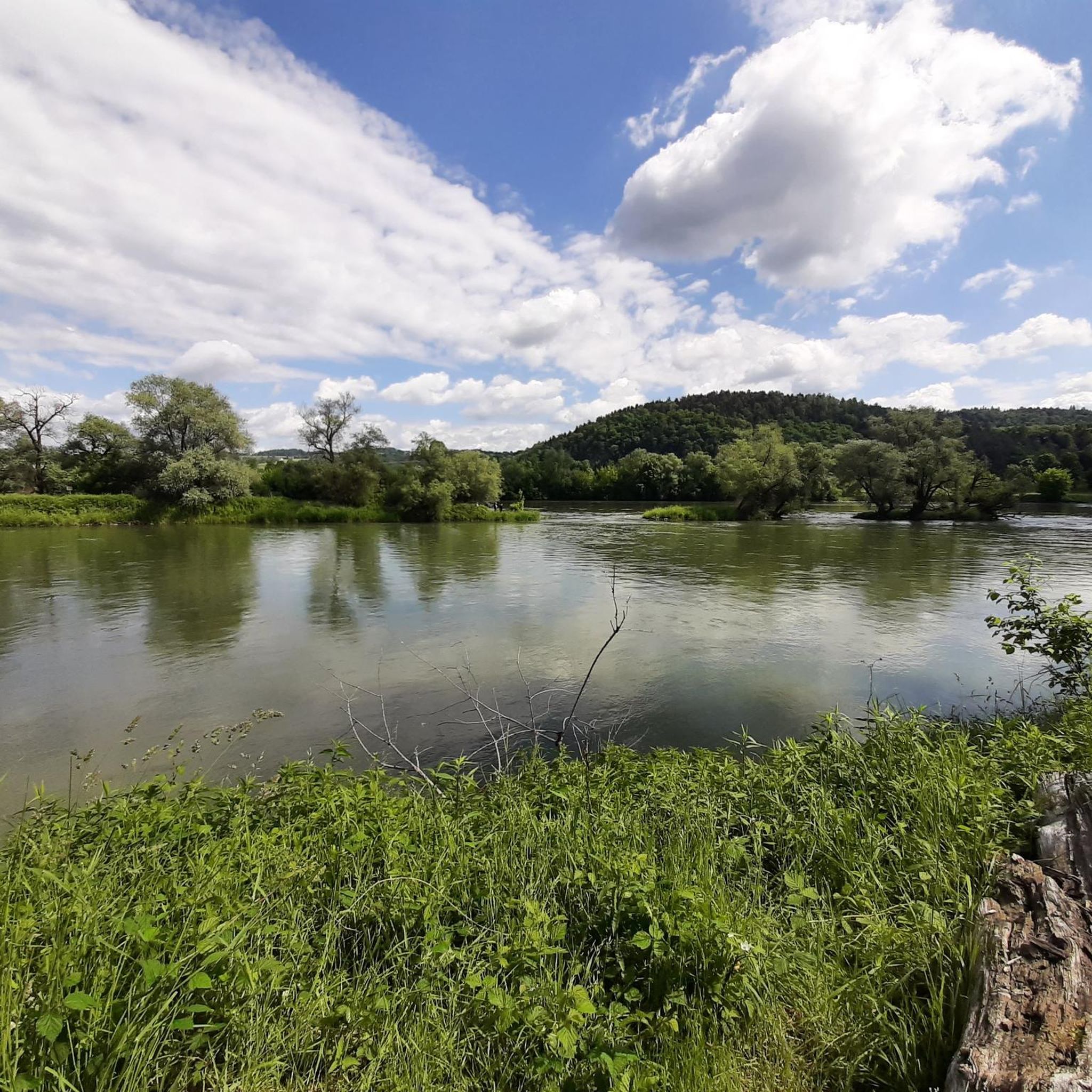
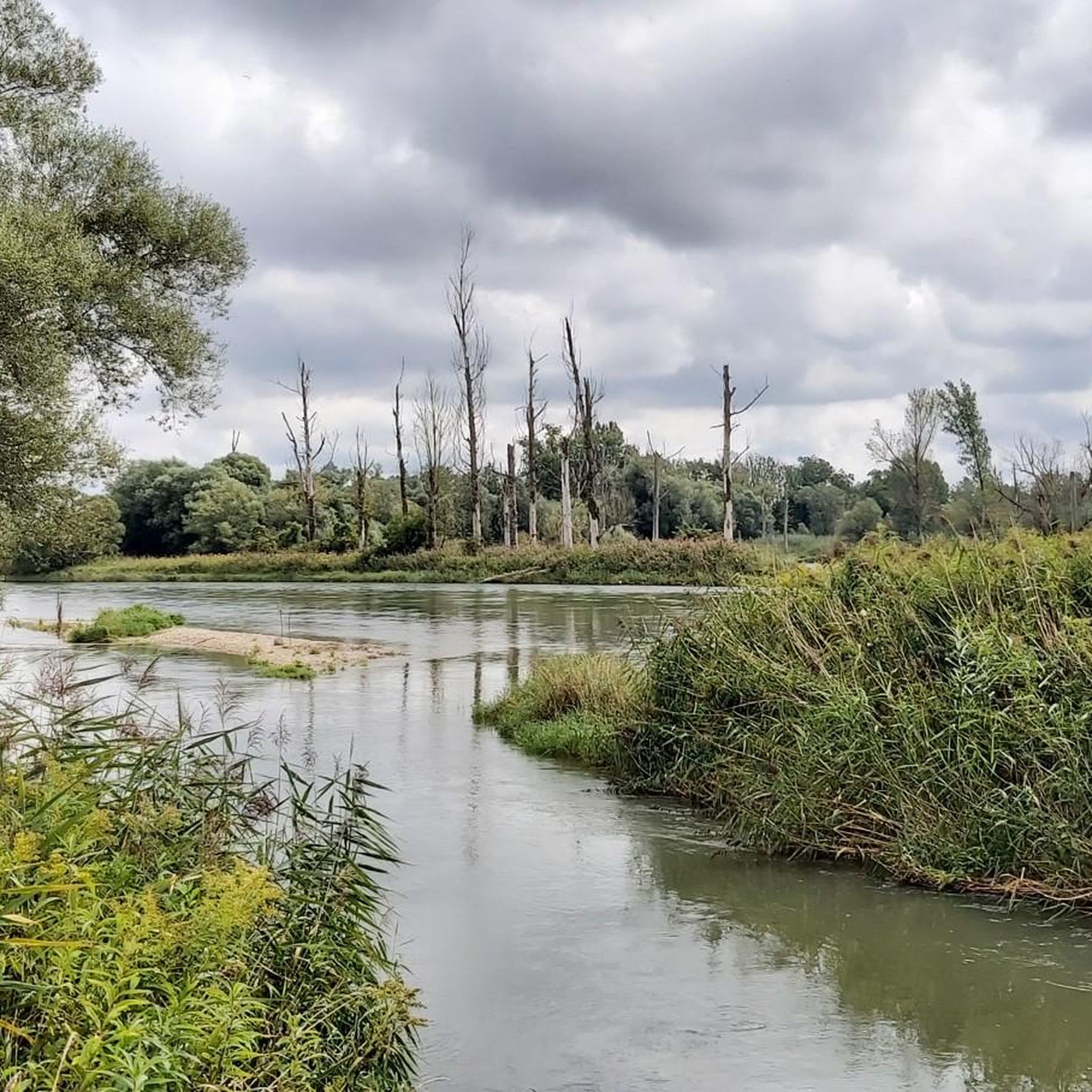
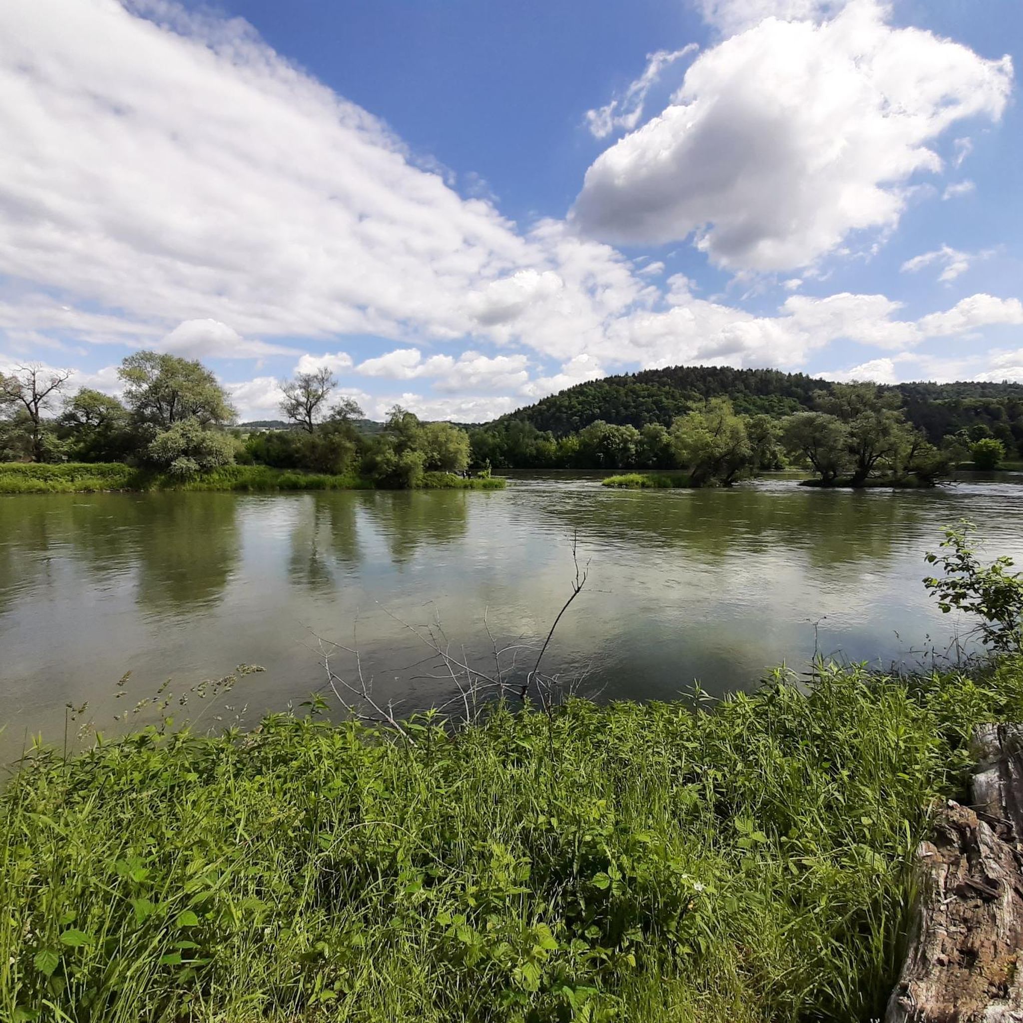
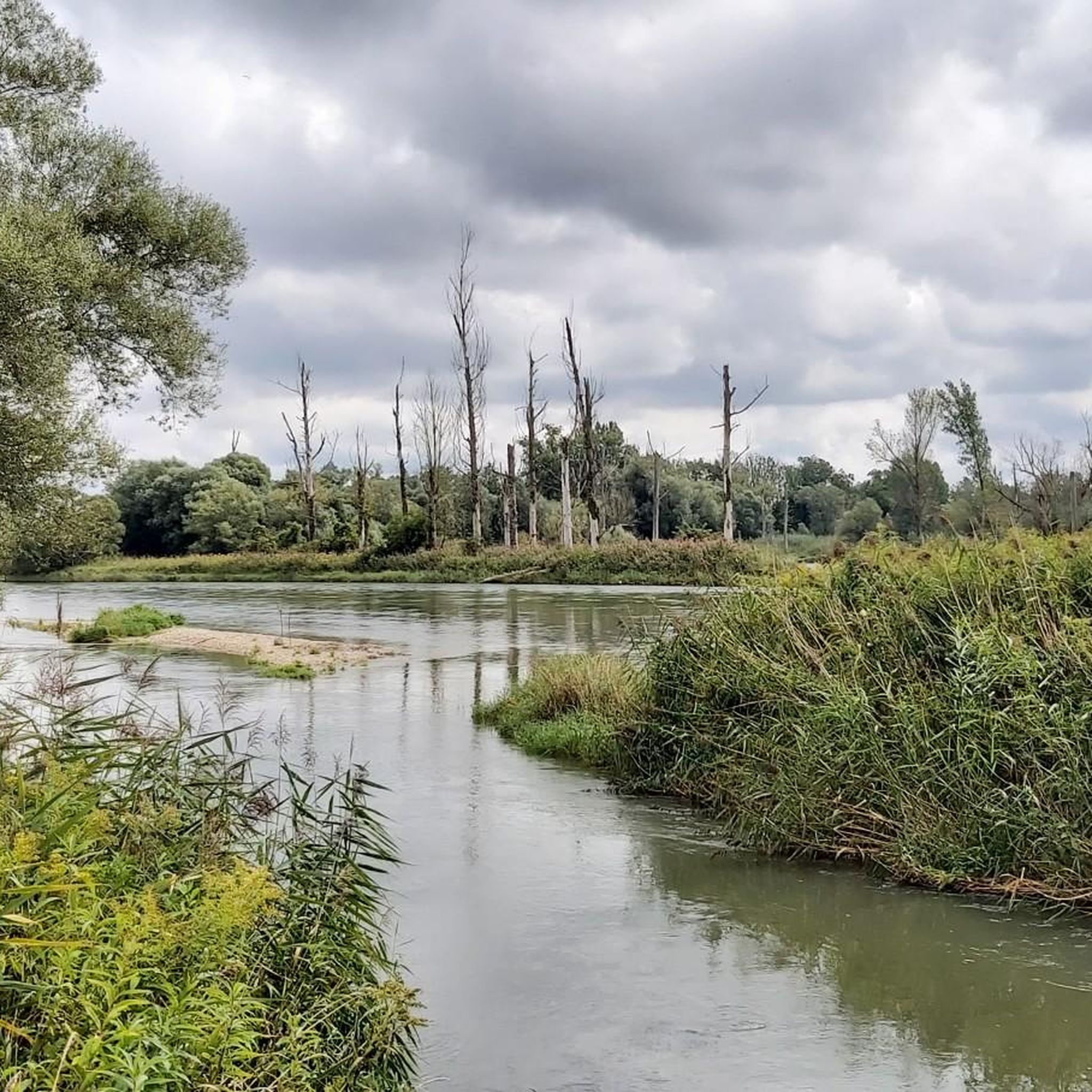
- Jogging around Isarmündung is defined by extensive floodplain landscapes, ancient riparian forests, and tranquil oxbow lakes. The network offers options for different ability levels, from easy, short runs to longer, moderate jogging routes.
- The routes in Isarmündung are highly rated by the komoot community with an average score of 4.4 stars from over 400 reviews. More than 5000 runners have used komoot to explore Isarmündung's varied terrain.
Last updated: August 1, 2026
5.0
(5)
96
runners
9.91km
01:02
10m
10m
Moderate run. Good fitness required. Mostly paved surfaces. Suitable for all skill levels.
4.8
(20)
34
runners
9.01km
00:56
0m
Moderate run. Good fitness required. Mostly paved surfaces. Suitable for all skill levels.

Sign up for free
15
runners
Moderate run. Good fitness required. Mostly paved surfaces. Suitable for all skill levels.
5.0
(6)
11
runners
8.86km
00:55
10m
10m
Moderate run. Good fitness required. Mostly paved surfaces. Suitable for all skill levels.
5.0
(1)
9
runners
3.26km
00:20
0m
0m
Easy run. Great for any fitness level. Mostly paved surfaces. Suitable for all skill levels.
Get access to more routes and recommendations from other explorers.
Sign up for free
Already have an account?
Our route recommendations are based on thousands of hikes, rides, and runs completed by other people on komoot.
Start today with a free account
Your next adventure awaits.
Login or Signup

Tips from the Community

Always worth a detour
0
0

There are a few parking spots available under the highway. Unfortunately, nothing is signposted here. Information boards about the floodplain landscape at the mouth of the Isar are also at this location.
4
0
The steel truss bridge with six fields received the German Bridge Construction Award in the category of pedestrian and cycle path bridges in 2016. With a total length of 456 meters, it is one of the longest pedestrian and cycle path bridges in Europe.
9
0

Good opportunity to change sides of the Danube.
6
0

Great bridge. Do you have to go over there?
6
0
Great bridge. Please don't jump down!
7
1
The bridge was built for the Landesgartenschau 2014.
8
0

The bridge has a cathedral character. The optical tunnel effect results from the complicated construction. Because almost nothing is straight on the bridge. For example, the wooden plank floor made of larch wood: It measures 5.50 meters each near the shore and tapers to the center of the bridge at 3.80 meters at its narrowest point. In addition, the steel truss structure is inclined inwards, which further enhances the spatial effect. The light gray, almost white-looking corrosion paint has been chosen carefully because it harmonises well with the beams of the neighboring railway bridge.
7
0
Frequently Asked Questions
How many running routes are available in the Isarmündung area?
The Isarmündung region offers a wide variety of running routes, with over 480 trails available on komoot. These routes cater to different preferences, ranging from easy jogs to more challenging runs through the unique floodplain landscape.
What kind of terrain can I expect on the jogging trails in Isarmündung?
The jogging trails in Isarmündung primarily feature a mix of unpaved roads and well-maintained paths. You'll run through extensive floodplain landscapes, ancient riparian forests, and past tranquil oxbow lakes. The area is mostly flat with low elevation changes, making it suitable for various fitness levels.
Are there running routes suitable for beginners or those looking for an easy jog?
Yes, Isarmündung has plenty of options for easy runs. Approximately 80 of the routes are classified as easy, perfect for beginners or a relaxed jog. An example is the Running loop from Martinswand, which is 3.3 km long and takes about 20 minutes.
What natural features or sights can I see while running in Isarmündung?
While running in Isarmündung, you can experience a rich natural environment. Key attractions include the actual Isar Confluence, the vast Isar Floodplain Forest, and numerous oxbow lakes. You might also spot the Isar Observation Tower, which offers great views of the diverse landscape and its rich biodiversity.
Are there any circular running routes in Isarmündung?
Yes, many of the running routes in Isarmündung are designed as loops, allowing you to start and finish at the same point. Popular circular options include the Running loop from Maxmühle and the Running loop from "Kiesweiher", both offering scenic experiences through the floodplain.
Can I bring my dog on the running trails in Isarmündung?
The Isarmündung area, with its extensive natural landscapes, is generally dog-friendly. However, as it is a protected Natura 2000 area and a biogenetic reserve, it's important to keep your dog on a leash, especially in sensitive areas, to protect the diverse wildlife and ground-nesting birds. Always respect local signage regarding dog access.
Is Isarmündung suitable for family runs or runs with children?
Yes, the mostly flat and well-maintained paths in Isarmündung make it suitable for family runs and children. The diverse natural environment provides an engaging backdrop, and shorter, easier routes like the Running loop from Oberdorf are ideal for families looking to enjoy a jog together.
What is the best time of year for running in Isarmündung?
The Isarmündung offers a beautiful running experience throughout the year. Spring brings vibrant greenery and blooming flora, while autumn showcases stunning fall colors in the riparian forests. Summer is pleasant, especially in the shaded forest sections, and even winter runs can be magical with a dusting of snow, though some paths might be muddy or icy.
Are there longer running routes for more challenging workouts?
Absolutely. While many routes are easy to moderate, Isarmündung also offers longer options for those seeking a greater challenge. For instance, the Danube footbridge Deggendorf – Deggendorf Teaching Apiary loop from Deggenau is a moderate 11.5 km route that provides a good workout through varied scenery.
What do other runners enjoy the most about jogging in Isarmündung?
The Isarmündung area is highly rated by the komoot community, with an average score of 4.4 stars from over 400 reviews. Runners often praise the serene natural beauty, the well-maintained and accessible paths, and the opportunity to experience a unique and protected floodplain ecosystem. The rich biodiversity and scenic views of the Isar and Danube rivers are frequently highlighted.
Is parking available near the running routes in Isarmündung?
Yes, parking is generally available at various access points to the running trails. The Infozentrum Isarmündung, for example, serves as a good starting point and typically offers parking facilities. Many routes also begin near villages or designated parking areas, making it convenient to access the trails by car.
Can I reach the running routes in Isarmündung by public transport?
While the Isarmündung is primarily a natural area, some access points might be reachable via local public transport, particularly bus services connecting to nearby towns like Deggendorf or Plattling. It's advisable to check local bus schedules and routes to plan your journey to specific trailheads.
Most popular routes around Isarmündung
Most popular attractions around Isarmündung

Get inspired with the komoot mobile app


Explore more
Browse the best Running Trails & Routes in other regions.
