The best MTB trails around Isarmündung
4.5
(2130)
7,917
riders
386
rides
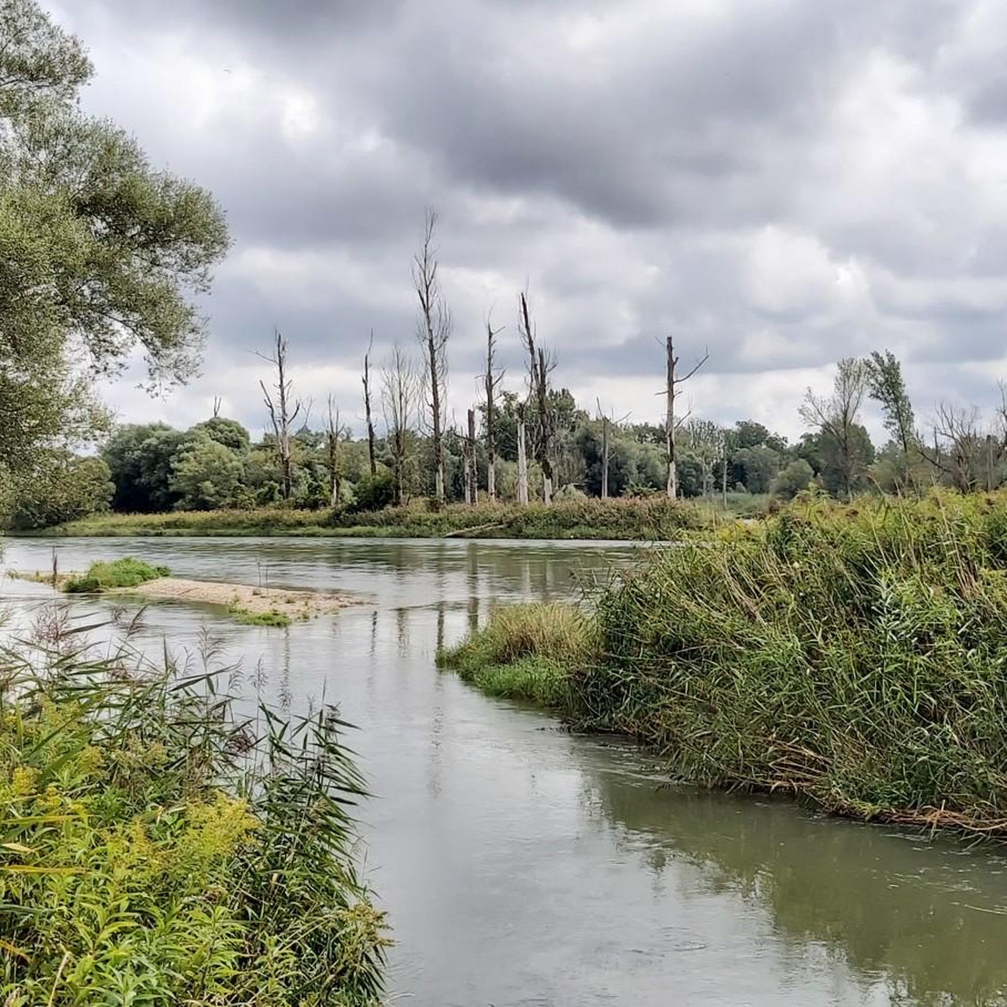
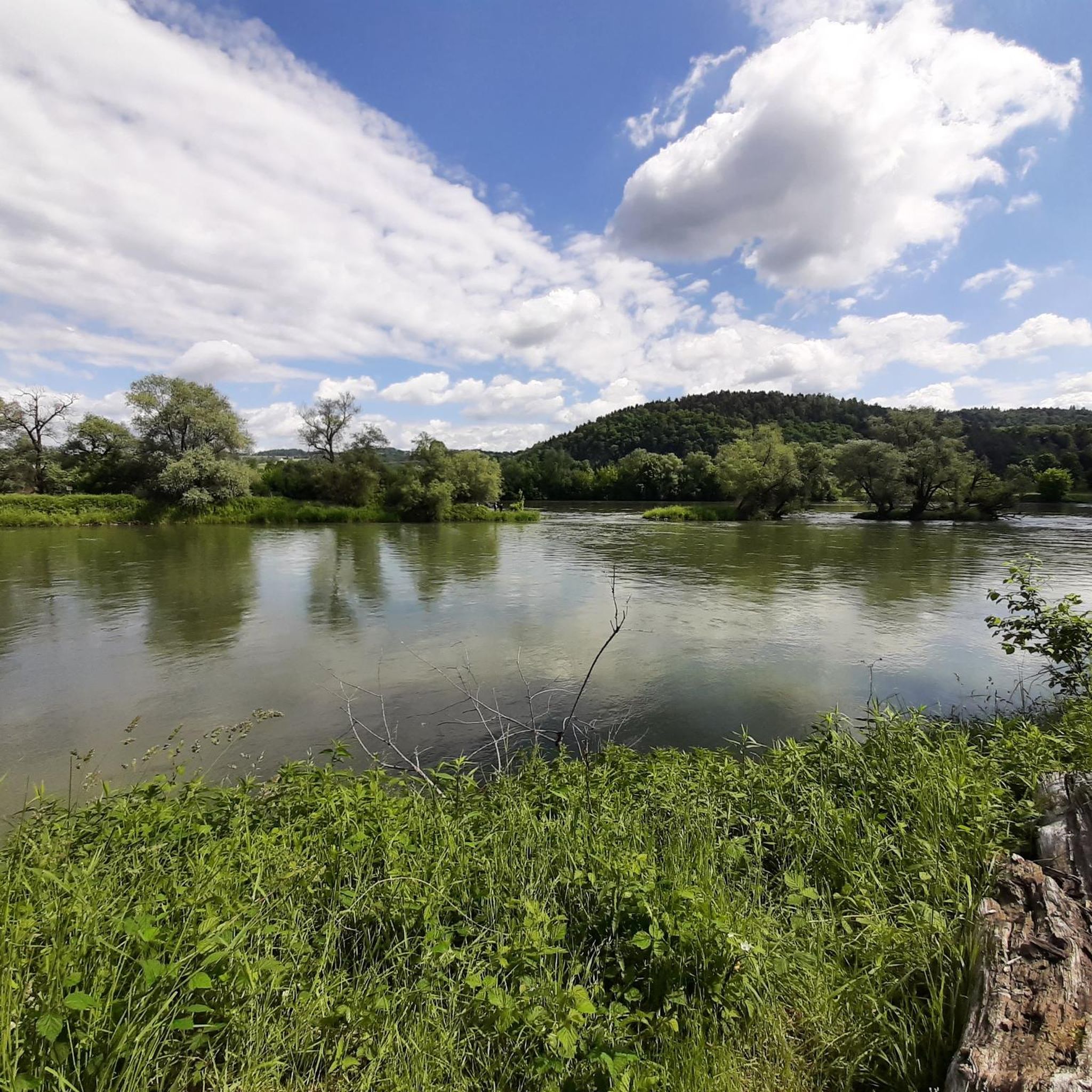
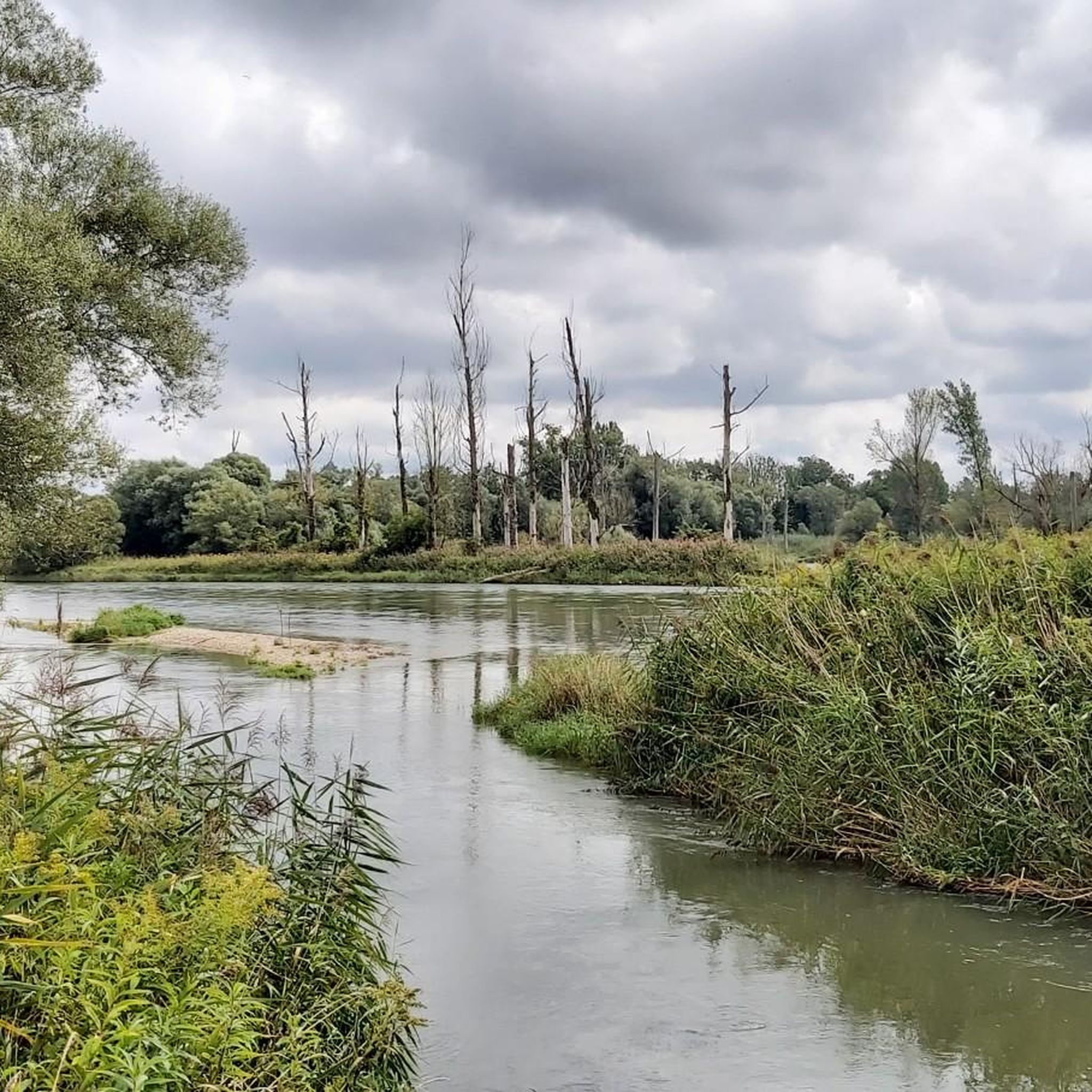
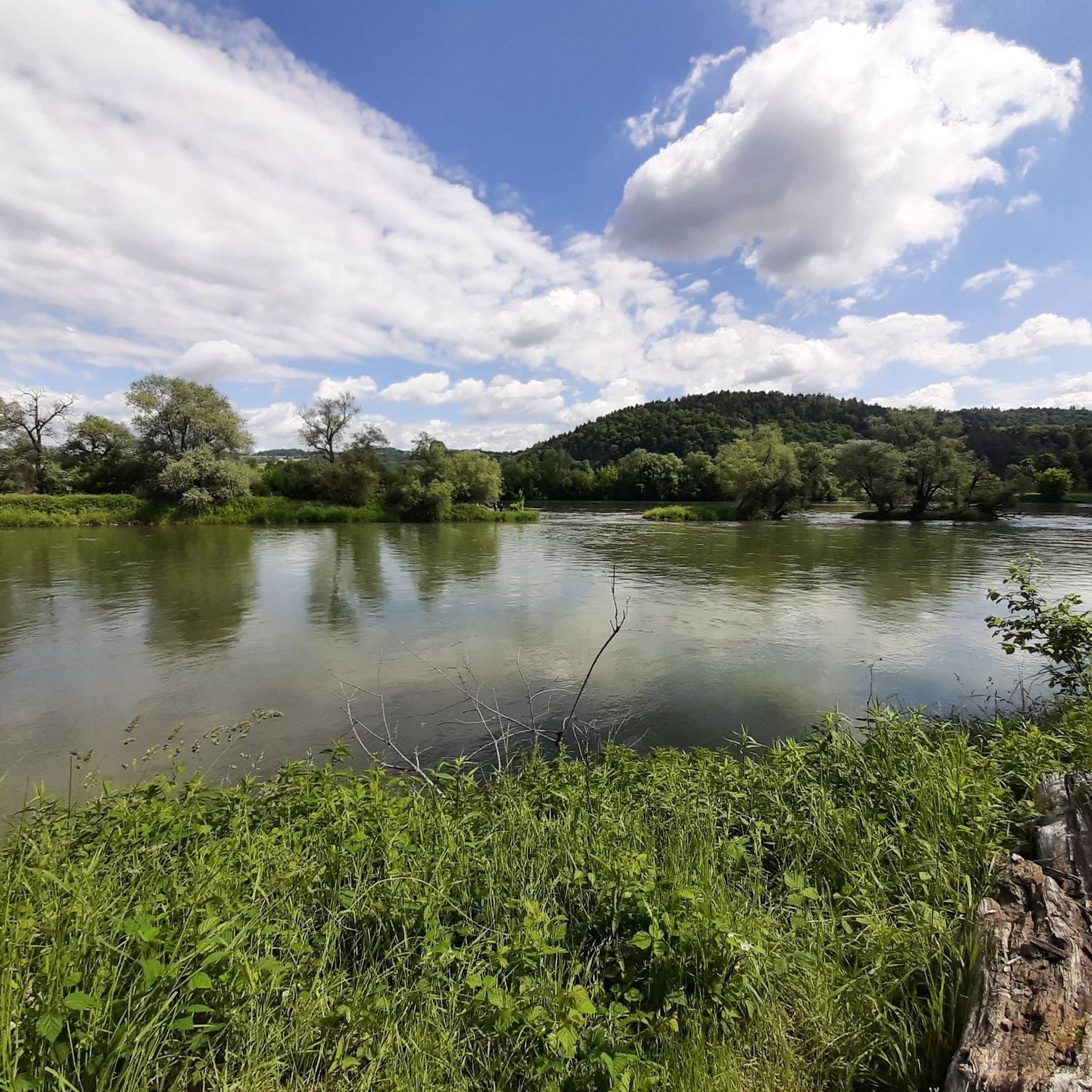
Mountain biking around Isarmündung offers routes through a unique and protected floodplain landscape where the Isar River meets the Danube. The region is characterized by extensive softwood and hardwood alluvial forests, diverse habitats including wet meadows, and a dynamic river environment. Most mountain bike trails feature minimal elevation changes, making them accessible for various skill levels. This area is recognized for its rich biodiversity and serves as a significant bird protection and Flora-Fauna-Habitat area.
Best mountain bike trails around Isarmündung
…Last updated: August 6, 2026
4.2
(30)
155
riders
Easy mountain bike ride. Great for any fitness level. Suitable for all skill levels.
4.7
(3)
12
riders
Easy mountain bike ride. Great for any fitness level. Suitable for all skill levels.

Sign up for free
4.5
(42)
138
riders
56.1km
03:58
270m
270m
Moderate mountain bike ride. Good fitness required. Suitable for all skill levels.
4.8
(34)
49
riders
60.4km
03:40
520m
520m
Moderate mountain bike ride. Good fitness required. Advanced riding skills necessary.
4.6
(111)
244
riders
Easy mountain bike ride. Great for any fitness level. Suitable for all skill levels.
Get access to more routes and recommendations from other explorers.
Sign up for free
Already have an account?
Our route recommendations are based on thousands of hikes, rides, and runs completed by other people on komoot.
Start today with a free account
Your next adventure awaits.
Login or Signup

Tips from the Community

Small repair station. With all the keys you need.
0
0

You'll encounter an enormous number of geese along the Isar River. Therefore, be careful when touring along the Isar Cycle Path, right near the riverbank.
1
0
The lower reaches of the Isar are no longer quite as exciting. Unfortunately, there is a lot of channeling. Only at the mouth does it become more natural again.
1
0

Nice place for a drink break
0
0

Opening Hours of the Isar Estuary Information Center April 1 to October 31 Wednesday to Sunday 10:00 AM to 5:00 PM The information center is also open on public holidays that fall on Mondays or Tuesdays. Admission is free
0
0

A beautifully situated beer garden near the mouth of the Isar River. If you continue towards Passau, you can't miss it.
1
0

Directly on the first leg of the trail toward the source of the Isar River, you'll experience the beautiful nature surrounding the Isar. The landscape is simply stunning for both humans and animals. You can observe the beavers at work and see so many animals. There are several places along the Isar in this section where you can linger for minutes, simply listening and watching.
1
0

Frequently Asked Questions
How many mountain bike trails are available around Isarmündung?
There are over 420 mountain bike trails around Isarmündung, offering a wide variety of options for different skill levels and preferences. The komoot community has explored more than 6,800 of these routes.
What is the typical terrain like for mountain biking in Isarmündung?
The terrain around Isarmündung is primarily characterized by its unique floodplain landscape. You'll find routes through extensive softwood and hardwood alluvial forests, open meadow landscapes, and along the dynamic river environment. Many trails feature minimal elevation changes, making them accessible, though some paths can be muddy, especially closer to the confluence of the Isar and Danube. Expect a mix of forest paths, dedicated cycle paths, and secondary roads.
Are there mountain bike trails suitable for beginners or families in Isarmündung?
Yes, Isarmündung offers many easy mountain bike trails perfect for beginners and families. Out of the over 420 routes, 94 are classified as easy. An example is the Isarmündung Information Center – Waldschänke Grieshaus loop from Maxmühle, an easy 15.3-mile (24.6 km) path that passes by the Isarmündung Information Center and the Waldschänke Grieshaus, a popular resting spot with amenities for children.
Are there more challenging mountain bike routes for experienced riders?
Yes, for experienced riders seeking a greater challenge, there are 63 difficult mountain bike routes available. One such route is the Donau-Klinik Trail – View from Geßingerstein loop from Pankofen, which covers nearly 60 km and involves significant elevation changes, taking approximately 4 hours and 54 minutes to complete.
What natural features or landmarks can I see while mountain biking in Isarmündung?
While mountain biking, you can explore several significant natural features and landmarks. These include the Isar Confluence where the Isar meets the Danube, the extensive Isar Floodplain Forest, and various oxbow lakes. You can also visit the Isar Observation Tower for panoramic views of the landscape.
What do other mountain bikers enjoy most about the trails in Isarmündung?
The mountain bike trails in Isarmündung are highly rated by the komoot community, with an average score of 4.5 stars from over 1,600 reviews. Riders often praise the unique and protected floodplain landscape, the extensive forests, and the dynamic river environment. The variety of trails, from easy to more challenging, and the scenic routes through idyllic natural settings are frequently highlighted.
Are there circular mountain bike routes available in Isarmündung?
Yes, many of the mountain bike routes in Isarmündung are designed as loops, allowing you to start and end at the same point. For example, the Isarmündung Information Center – To the Grafenmühle loop from Maxmühle is an easy 15.9-mile (25.6 km) circular trail that explores the area around the information center.
Can I bring my dog on the mountain bike trails in Isarmündung?
While the Isarmündung area is a significant nature reserve, many trails are suitable for dogs, provided they are kept on a leash to protect the local wildlife and flora. It's always best to check local signage for specific restrictions, especially in designated bird protection or sensitive ecological areas.
What are the parking options for mountain bikers in the Isarmündung area?
Parking is generally available at key access points to the trails. The Infohaus Isarmündung often serves as a good starting point and provides parking facilities. You may also find parking near towns like Plattling or Deggendorf, which offer access to various routes leading into the floodplain landscape.
When is the best time of year to go mountain biking in Isarmündung?
The Isarmündung area is beautiful throughout the warmer months. Spring and autumn offer pleasant temperatures and vibrant scenery, with fewer crowds than peak summer. While some paths can be muddy, especially after rain or during wetter seasons, the generally low elevation changes make many trails accessible for a good portion of the year. Always check local weather conditions before heading out.
Are there any places to stop for refreshments or food along the trails?
Yes, some routes pass by local amenities. For instance, the Isarmündung Information Center – Waldschänke Grieshaus loop from Maxmühle includes the Waldschänke Grieshaus, which is a popular resting spot. You'll also find cafes and pubs in nearby towns like Plattling and Deggendorf, which are often connected to the wider trail network.
Most popular routes around Isarmündung
Most popular attractions around Isarmündung

Get inspired with the komoot mobile app


Explore more
Browse the best MTB trails in other regions.
