The best walks and hikes around Breitenwang
4.5
(15355)
71,835
hikers
72
hikes
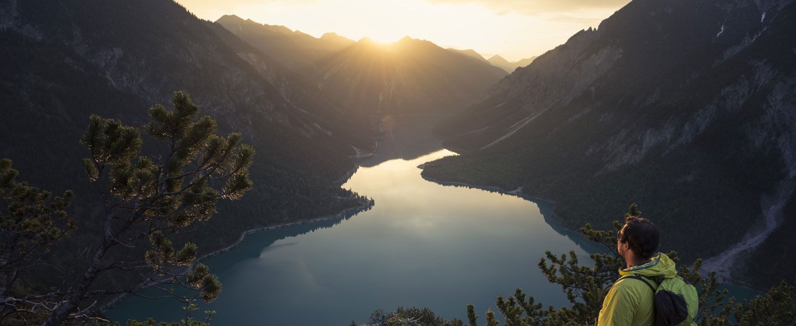
Hiking around Breitenwang, nestled in Tyrol, Austria, offers diverse landscapes at the foot of the Alps. The region features prominent natural elements such as the fjord-like Plansee, Tyrol's second-largest lake, and the Stuiben Falls. Surrounded by majestic mountains and green valleys, including parts of the Ammergau Alps, the area provides varied terrain for outdoor activities. Dense forests and tranquil lakes like Kreckelmooser Lake further characterize the natural environment.
Best hiking trails around Breitenwang
- The most popular hiking route is View…
Last updated: September 29, 2026
4.8
(1264)
5,490
hikers
Moderate hike. Good fitness required. Easily-accessible paths. Suitable for all skill levels.
4.8
(798)
3,089
hikers
Moderate hike. Good fitness required. Easily-accessible paths. Suitable for all skill levels.

4.5
(27)
224
hikers
5.30km
01:26
70m
60m
Easy hike. Great for any fitness level. Easily-accessible paths. Suitable for all skill levels.
4.7
(269)
1,298
hikers
14.4km
06:44
950m
950m
Hard hike. Very good fitness required. Sure-footedness, sturdy shoes and alpine experience required.
4.7
(243)
1,161
hikers
10.5km
05:32
840m
840m
Hard hike. Very good fitness required. Sure-footedness, sturdy shoes and alpine experience required.
Get access to more routes and recommendations from other explorers.
Already have an account?
Our route recommendations are based on thousands of hikes, rides, and runs completed by other people on komoot.
Start today with a free account
Your next adventure awaits.


Tips from the Community

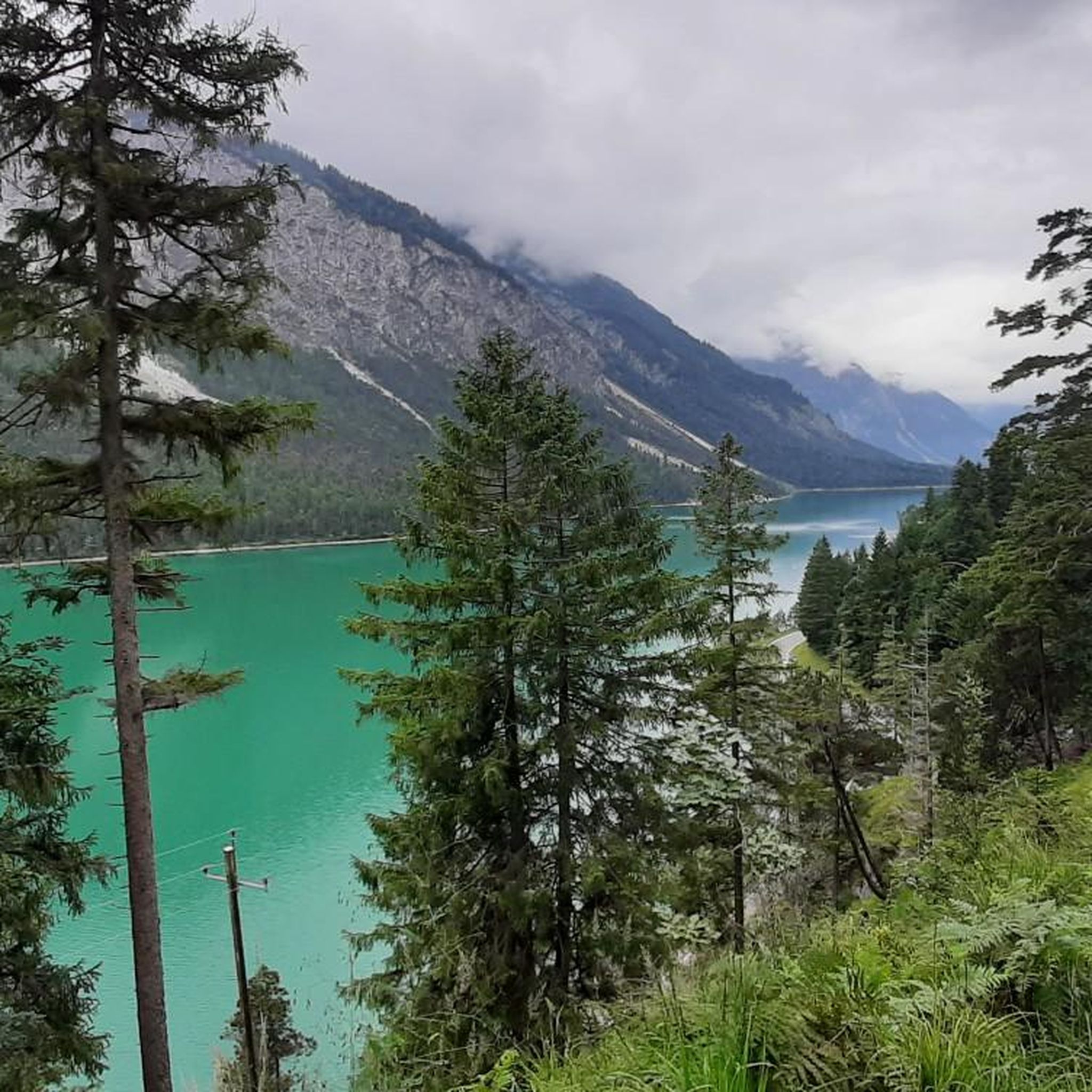
A great panorama, the incredible color of the water, simply indescribably beautiful. There are also many opportunities for leisure activities for almost every taste.
0
0

From the Seespitzbrücke bridge, the path to the Heiterwangersee lake is very very narrow
0
0

Not entirely easy to reach, but absolutely worth it. Great views!
6
0
The summit of the Tauern, at 1,841 m, is the highest point of the Tauern massif. The views are, of course, fantastic. A wonderful place to pause.
5
0
The Grätle is a bit exposed, but the view is simply stunning (not to be taken literally here!).
6
0
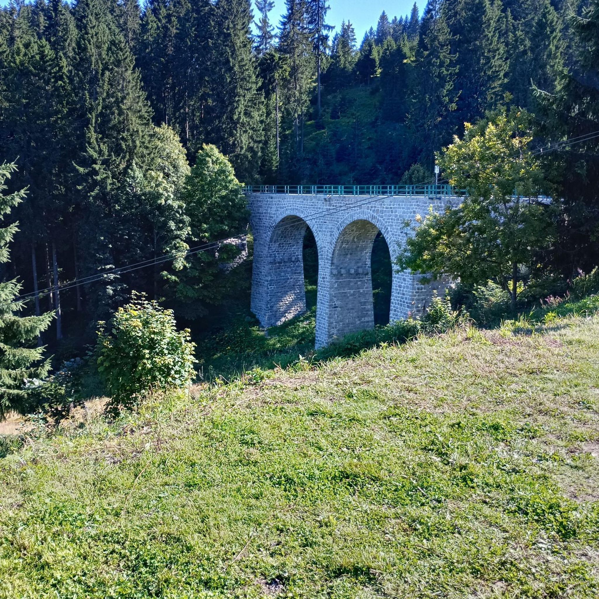
A very elegant bridge spans the narrow point between Plansee and Kleiner Plansee here.
3
0

A very interesting path to the lake. It leads through beautiful landscapes between the mountains. Particularly impressive is the beautiful new cycle path that leads up the mountain to the Plansee. And of course the lake itself with its beautiful turquoise color.
0
0

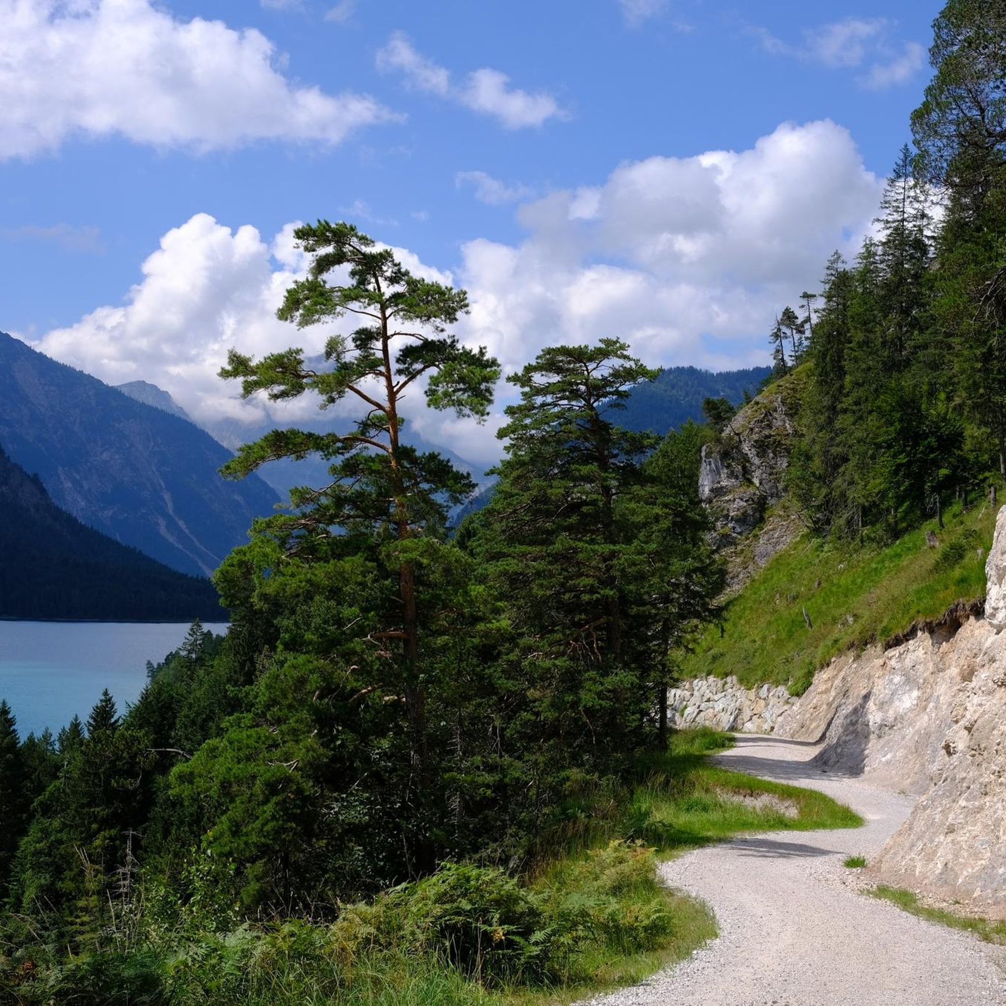
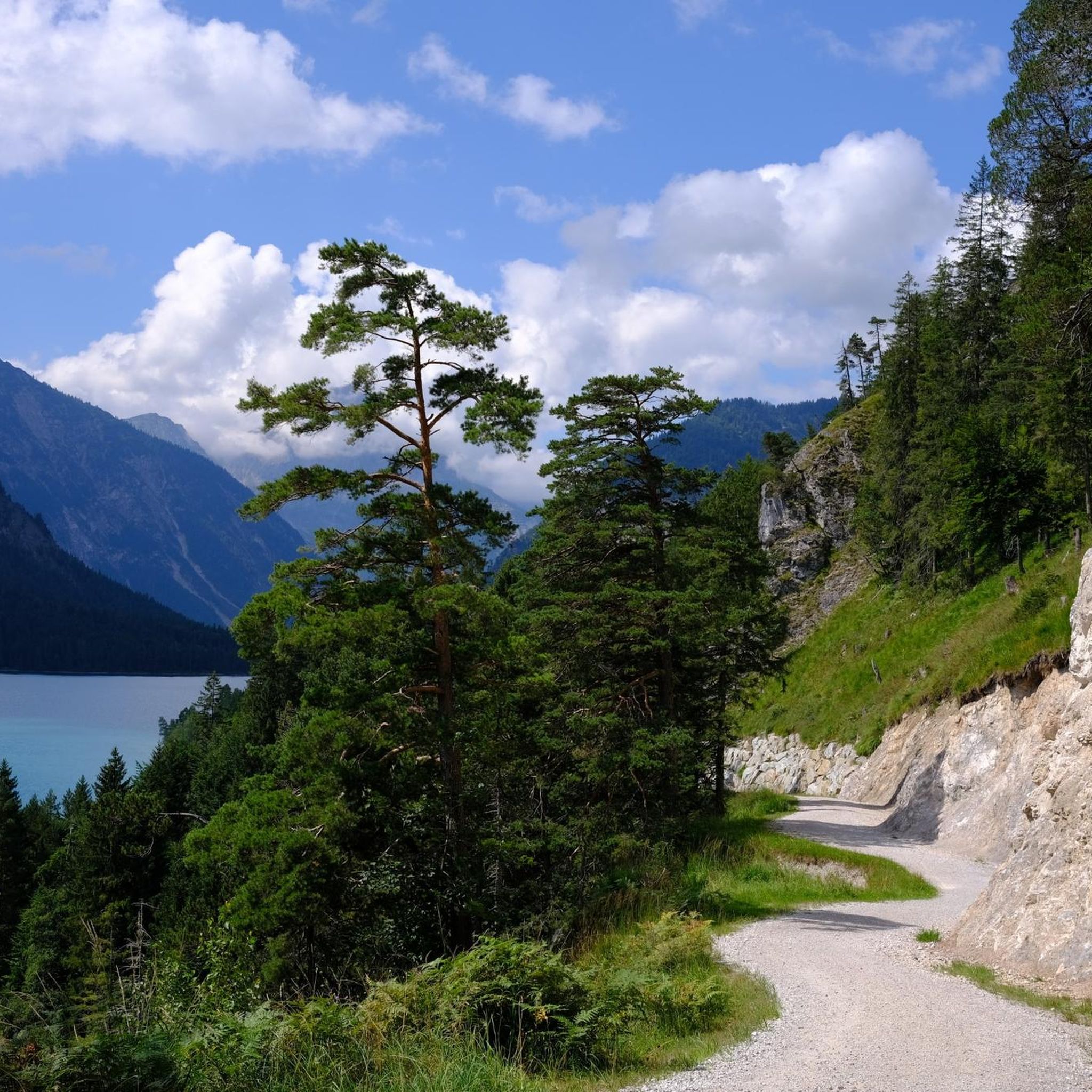
Beautiful wide, easily walkable path...great for running...great viewpoints of the lake
1
0
Frequently Asked Questions
How many hiking trails are available around Breitenwang?
There are over 70 hiking trails around Breitenwang, offering a wide range of options from leisurely walks to challenging mountain ascents. You'll find trails suitable for all skill levels, including over 25 easy routes, 28 moderate, and 22 difficult paths.
Are there easy hiking trails suitable for beginners or families in Breitenwang?
Yes, Breitenwang offers over 25 easy hiking trails, many of which are suitable for beginners and families. These routes often feature gentle terrain and offer opportunities to enjoy the natural beauty without strenuous climbs. For a pleasant, accessible walk, consider the Along Plansee route.
What are some notable natural features or landmarks to see while hiking in Breitenwang?
Breitenwang's hiking trails lead to several impressive natural features and landmarks. The fjord-like Plansee, Tyrol's second-largest lake, is a central highlight with many trails offering magnificent views. The impressive Stuiben Falls are another natural jewel, periodically plunging thunderously into the valley. You might also encounter the tranquil Kreckelmooser Lake, enveloped by dense forests.
Are there any circular hiking routes around Breitenwang?
Yes, many of the trails around Breitenwang are circular routes, allowing you to start and end at the same point. A popular option is the View of the Plansee – Lake Heiterwang loop from Kleiner Plansee, which offers scenic views and connects the two lakes. Another challenging loop is the View of Plansee and Geierköpfe – Scenic Gravel Ascent loop from Plansee, providing panoramic mountain vistas.
What do other hikers enjoy most about the trails in Breitenwang?
The hiking trails in Breitenwang are highly rated by the komoot community, with an average score of 4.6 stars from over 11,000 reviews. Hikers frequently praise the diverse landscapes, from the serene Plansee to the majestic Alpine views, and the well-maintained paths that cater to various difficulty levels. The combination of natural beauty and cultural sights like the Stuiben Falls is often highlighted.
What is the best time of year for hiking in Breitenwang?
The best seasons for hiking in Breitenwang are spring and autumn. Spring brings vibrant flower meadows and fresh greenery, while autumn transforms the landscape with warm-colored foliage, offering spectacular views. Summer is also popular, especially for lake activities. Even winter provides opportunities for snowshoe hikes in the snow-covered scenery, though specific conditions should be checked.
Are there any historical sites or castles accessible from hiking trails near Breitenwang?
Yes, several historical sites and castles are within reach. The Neuschwanstein Castle, though not directly in Breitenwang, is a short distance away and can be incorporated into a day trip. Closer by, the Ehrenberg Castle Ruins offer spectacular views of the surrounding landscape and are a worthwhile visit along certain hiking routes. You can also find other castles like Hohenschwangau Castle nearby.
Can I find trails with good viewpoints in Breitenwang?
Absolutely. Many trails in Breitenwang are renowned for their stunning viewpoints. Routes like the View of the Plansee – View of Zunterkopf loop from Kleiner Plansee offer expansive vistas of the Plansee and surrounding mountains. The Ammergau Alps, which border the region, also provide numerous spots for panoramic views, including from peaks like the Schelleleskopf and Western Geierkopf.
Are there any themed trails or special attractions for children in the Breitenwang area?
For families, the 'In the footsteps of King Ludwig' themed trail provides an engaging way for children to learn about the famous Bavarian king while enjoying a walk. Additionally, the natural wonders like the Stuiben Falls and the scenic shores of Plansee offer exciting exploration opportunities for younger hikers.
What kind of terrain can I expect on hikes around Breitenwang?
The terrain around Breitenwang is highly varied, reflecting its location at the foot of the Alps. You can expect everything from gentle paths along lake shores and through verdant valleys to more challenging, rocky ascents in the higher mountain areas. Many trails feature quiet forest paths, gravel tracks, and some steeper sections, especially on routes leading to viewpoints or higher elevations.
Are there any less crowded hiking options near Breitenwang?
While popular spots like Plansee can attract visitors, Breitenwang's extensive network of trails means you can often find quieter paths. Exploring routes around the tranquil Kreckelmooser Lake or venturing into the less frequented parts of the Ammergau Alps can offer a more secluded hiking experience, especially during off-peak hours or weekdays.
Most popular routes around Breitenwang
Most popular attractions around Breitenwang

Get inspired with the komoot mobile app


Explore more
Browse the best Hikes in other regions.
