The best road cycling routes around Fuentes De Rubielos
4.6
(13)
1,019
riders
18
rides
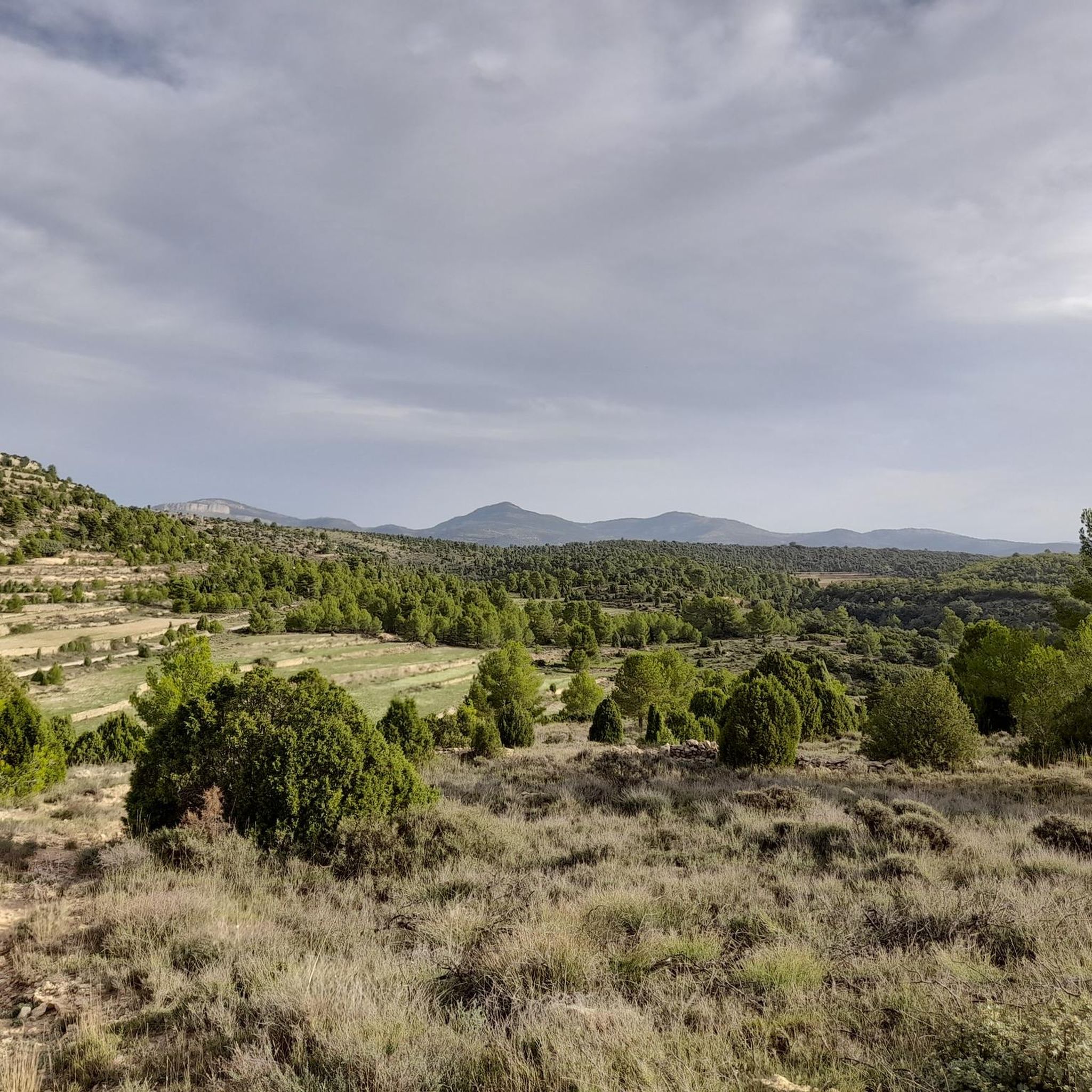
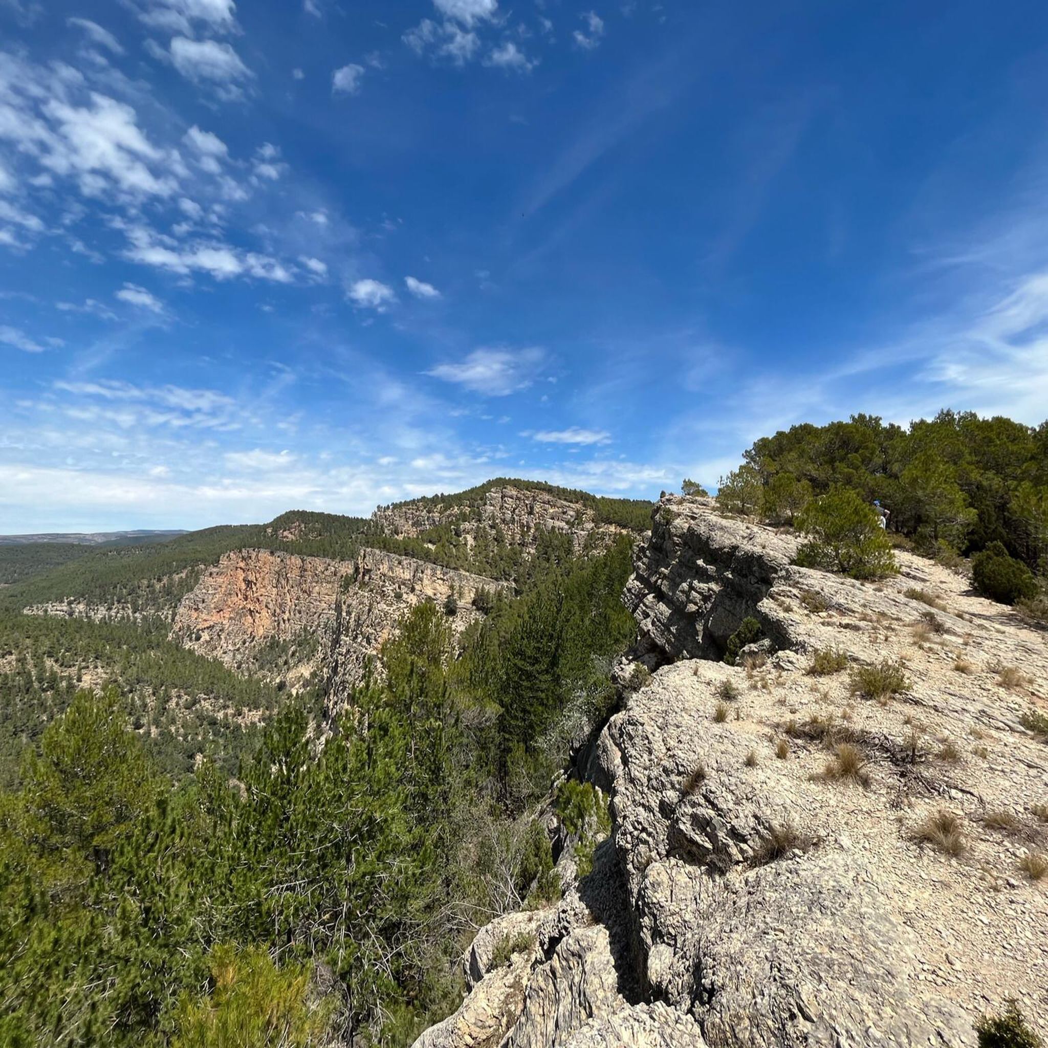
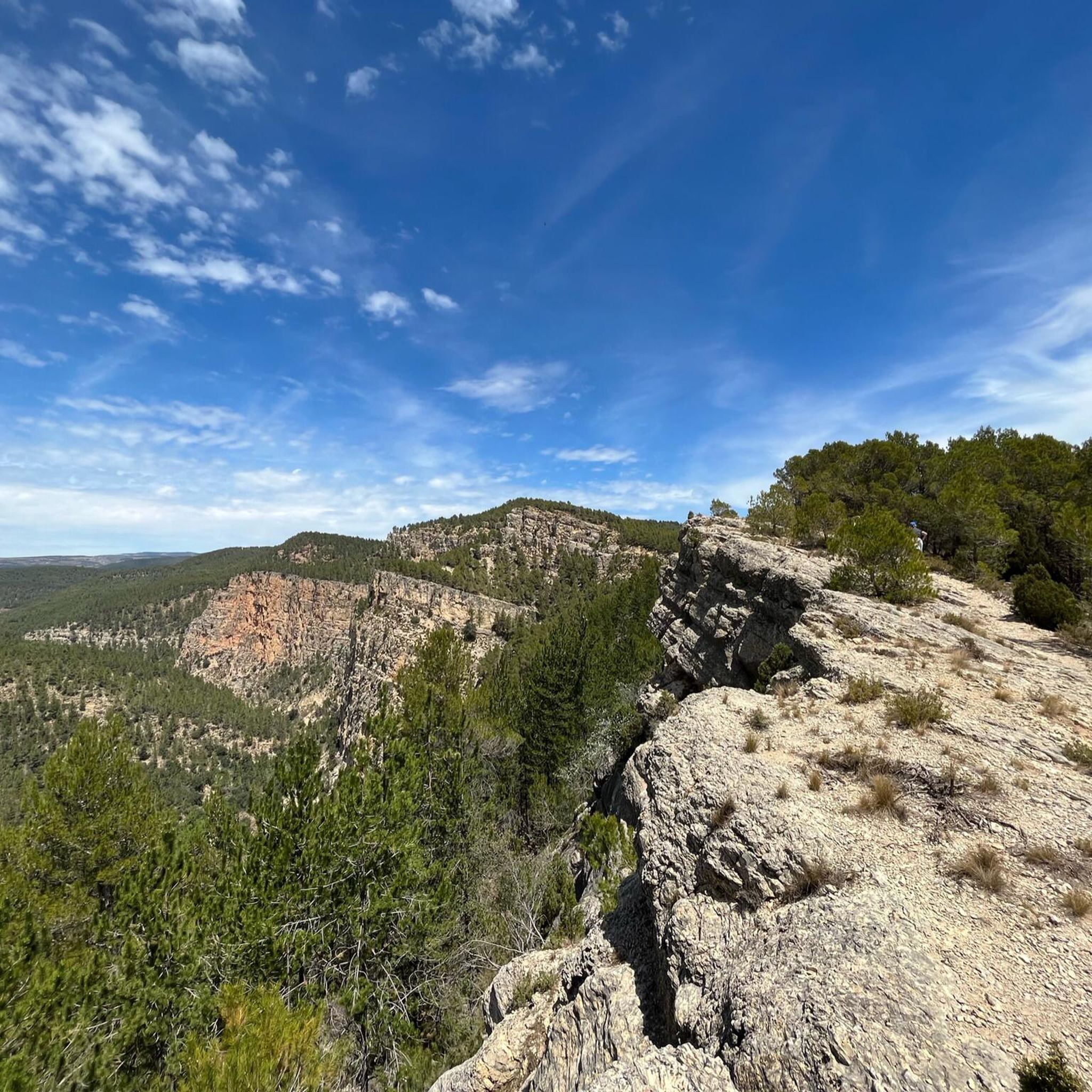
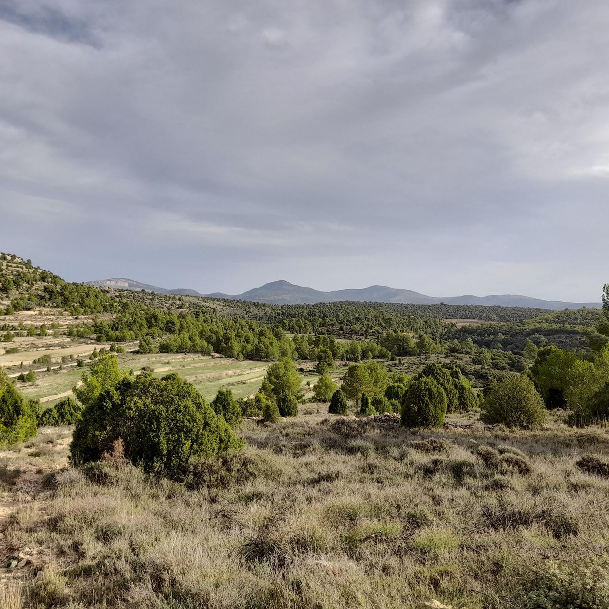
Road cycling routes around Fuentes De Rubielos are situated within the Sierra de Gúdar mountain range, offering diverse topography with significant elevation changes. The region is characterized by extensive pine forests, mixed woodlands, and rocky limestone gorges, providing varied terrain for cyclists. Numerous springs and rivers, including the Río Morrón and Rubielos River, add to the natural landscape. This high-altitude setting provides challenging climbs and rewarding panoramic views of the surrounding mountains and river basins.
Best road cycling routes around…
Last updated: October 1, 2026
50
riders
92.2km
05:12
2,110m
2,110m
Hard road ride. Very good fitness required. Mostly well-paved surfaces and easy to ride.
31
riders
63.3km
04:13
1,330m
1,330m
Hard road ride. Very good fitness required. Mostly well-paved surfaces and easy to ride.

5.0
(1)
140
riders
115km
06:21
2,470m
2,470m
Hard road ride. Very good fitness required. Mostly well-paved surfaces and easy to ride.
71
riders
79.7km
04:11
1,520m
1,520m
Hard road ride. Very good fitness required. Mostly well-paved surfaces and easy to ride.
51
riders
112km
06:05
2,280m
2,280m
Hard road ride. Very good fitness required. Mostly well-paved surfaces and easy to ride.
Get access to more routes and recommendations from other explorers.
Already have an account?
Our route recommendations are based on thousands of hikes, rides, and runs completed by other people on komoot.
Start today with a free account
Your next adventure awaits.
Tips from the Community

From the port of San Rafael, you can appreciate beautiful panoramic views towards the Sierra de Gúdar. It is an ideal place for a contemplative break before starting the descent.
0
0

Beautiful little town in the middle of the mountains
0
0

From here you can see part of the reservoir and the town. It's a good place to park and start cycling routes.
1
0

The fortress has surprisingly large dimensions, is very strategically located and has been the center of several wars for centuries. Visit: with admission, see schedules and guided tours or temporary exhibitions on the Mora de Rubielos Castle website.
0
0

Beautiful village with wonderful bathing spots
1
0

The Mora de Rubielos castle or Fernández de Heredia castle is a fortification located on a hill in the Sierra de Gúdar, in the Aragonese town of Mora de Rubielos, 41 kilometers from Teruel, near the provincial border with Castellón. Currently, it is considered a BIC
0
0
Medieval castle from the 14th century in Mediterranean Gothic style. Linked to Juan Fernández de Heredia (1310-1396) who began a dynasty of Mora lords, which would last for four and a half centuries. A walk through several of its rooms, with good documentation and the addition of a good number of siege weapons and infantry from different periods.
1
0
Frequently Asked Questions
How many road cycling routes are available around Fuentes de Rubielos?
There are 19 road cycling routes around Fuentes de Rubielos. These routes are situated within the Sierra de Gúdar mountain range, offering diverse topography with significant elevation changes.
What is the general difficulty level of road cycling routes in this region?
The road cycling routes around Fuentes de Rubielos are predominantly challenging. Out of the 19 available routes, 14 are classified as difficult, and 5 are moderate. This reflects the mountainous terrain and significant elevation changes characteristic of the Sierra de Gúdar.
What kind of terrain can I expect on road cycling routes in Fuentes de Rubielos?
You can expect varied and often challenging terrain. The region is characterized by extensive pine forests, mixed woodlands, and rocky limestone gorges. Routes often feature significant climbs through mountainous areas, offering rewarding panoramic views of the Sierra de Gúdar and the Mijares river basin. You'll cycle through high-altitude settings, with the village itself being at nearly a thousand meters.
What natural features can I see along the road cycling routes?
The routes offer stunning natural scenery. You'll encounter dense pine and mixed forests, numerous springs, and rivers like the Río Morrón and Rubielos River. The area also features dramatic rocky limestone gorges and defiles. Keep an eye out for picturesque spots like the Fuente de la Salud along the Rubielos River, or the impressive Estrechos de Chillapájaros gorge.
Are there any historical landmarks or viewpoints to visit while cycling?
Yes, the region combines natural beauty with cultural and historical points of interest. You can find historical sites like the ruined Ermita de Santa Isabel, which offers fantastic views, or the late-Gothic Ermita de Santa María Magdalena. The village itself features traditional architecture, including the baroque Church of the Assumption. For stunning vistas, look for viewpoints such as Mirador de Santa Isabel and Mirador Canteras del Salto, which provide panoramic views of the surrounding area.
What do other road cyclists enjoy most about the routes in Fuentes de Rubielos?
The area is highly rated by the komoot community, with an average score of 5.0 stars from over 11 reviews. Cyclists often praise the challenging climbs, the rewarding panoramic views of the Sierra de Gúdar, and the scenic journeys through dense forests and along rivers. The varied terrain and the sense of accomplishment after tackling the mountainous routes are frequently highlighted.
Are there any circular road cycling routes in the area?
Yes, there are several circular road cycling routes. A popular option is the Between Mijares and Gúdar - circular from Cortes de Arenoso, a difficult 92.2 km trail with significant climbs. Another challenging loop is the Rubielos de Mora – Mora de Rubielos Castle loop from Puebla de Arenoso, which covers 115.2 km and connects historical towns.
What is a good route for experienced cyclists looking for a challenge?
For experienced cyclists seeking a significant challenge, the Rubielos de Mora – Mora de Rubielos Castle loop from Puebla de Arenoso is an excellent choice. This difficult 115.2 km route involves over 2,400 meters of ascent and takes approximately 6 hours 21 minutes to complete, offering extensive mountain cycling through the Sierra de Gúdar.
Are there any moderate road cycling routes for those who prefer less extreme climbs?
Yes, while many routes are difficult, there are moderate options available. For example, the View of Embalse de Arenoso – View of Puebla de Arenoso loop from Puebla de Arenoso is a moderate 36.7 km route with around 727 meters of ascent, taking about 2 hours to complete. This route offers scenic views without the most extreme elevation changes.
Is there parking available for cyclists in Fuentes de Rubielos?
As a small municipality, Fuentes de Rubielos generally offers parking options within the village. While specific designated cyclist parking areas are not detailed, you can typically find suitable spots for vehicles in or around the town center, especially near local amenities, which can serve as a starting point for your cycling adventures.
What is the best time of year for road cycling in Fuentes de Rubielos?
Given its high-altitude setting in the Sierra de Gúdar, the spring and autumn months generally offer the most pleasant conditions for road cycling. Temperatures are milder, and the natural landscapes are vibrant. Summers can be warm, especially at lower elevations, while winters can bring colder temperatures and potentially snow in the higher parts of the mountains, making cycling more challenging.
Are there any cafes or accommodation options that are cyclist-friendly in the area?
Fuentes de Rubielos and surrounding villages offer local cafes and accommodation. While specific 'cyclist-friendly' certifications are not provided, the region's appeal to outdoor enthusiasts suggests that local establishments are generally welcoming to those exploring the area. It's advisable to check with individual cafes or hotels regarding bike storage or specific amenities for cyclists when planning your trip.
Most popular attractions around Fuentes De Rubielos

Get inspired with the komoot mobile app


Explore more
Browse the best Road cycling routes in other regions.
