The best MTB trails around Fuentes De Rubielos
4.7
(60)
1,051
riders
57
rides
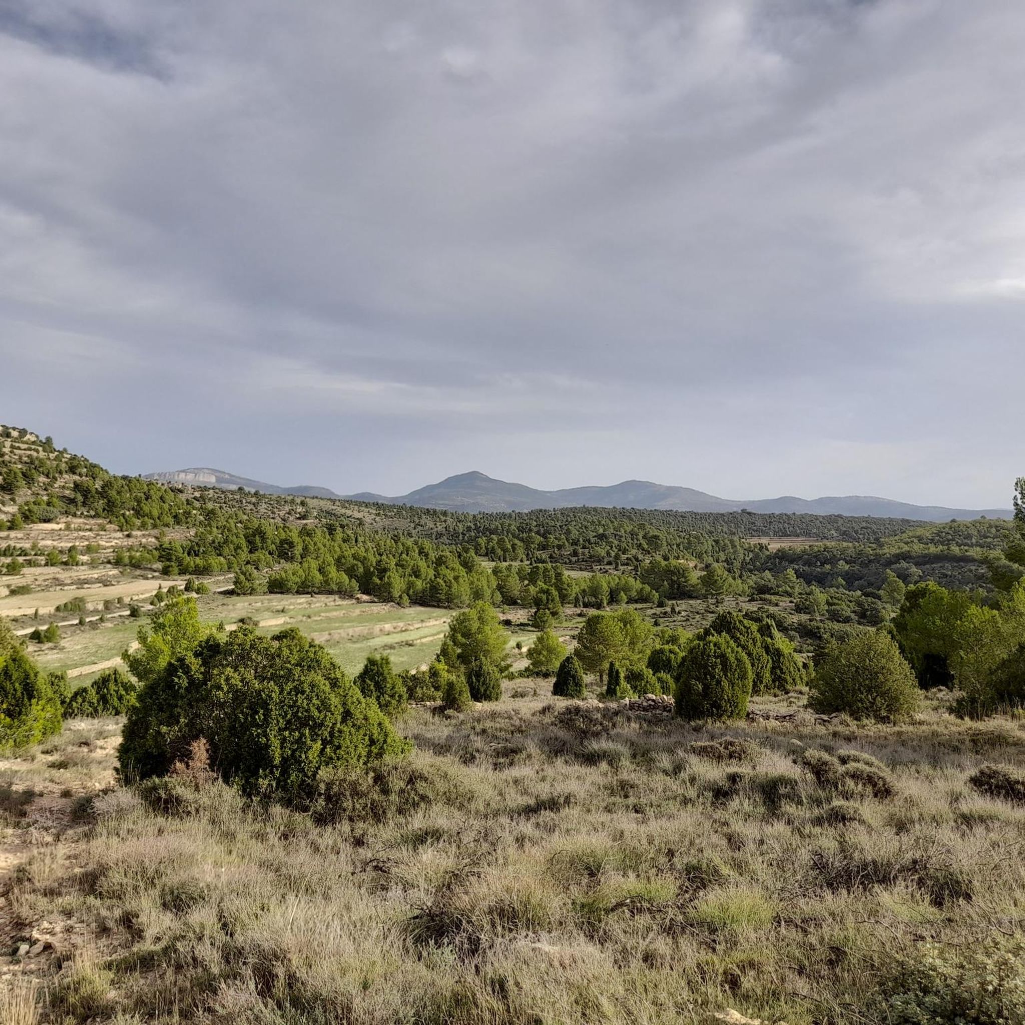
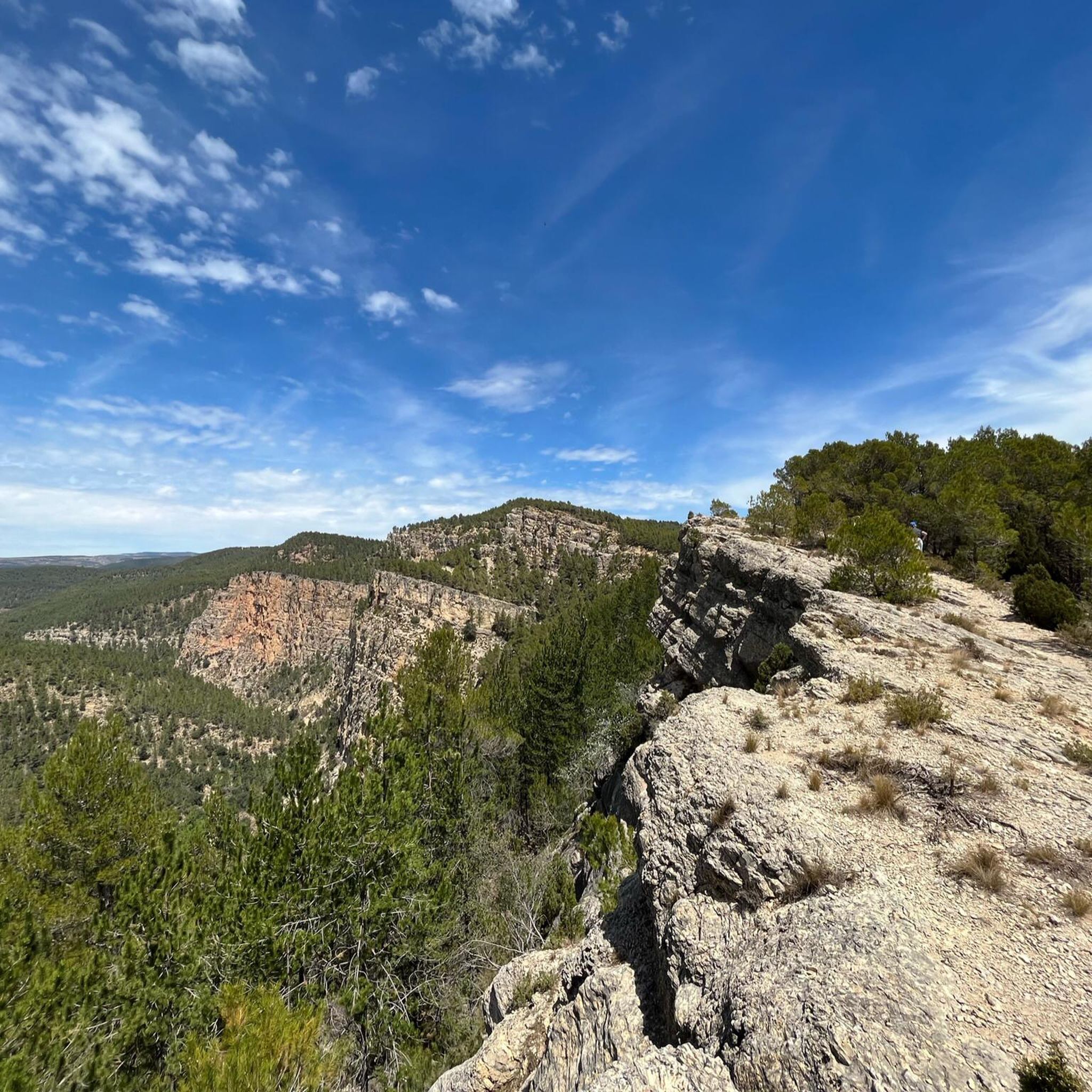
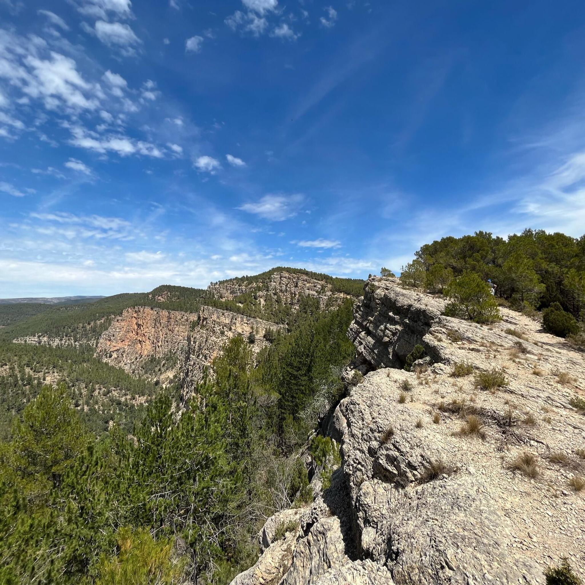
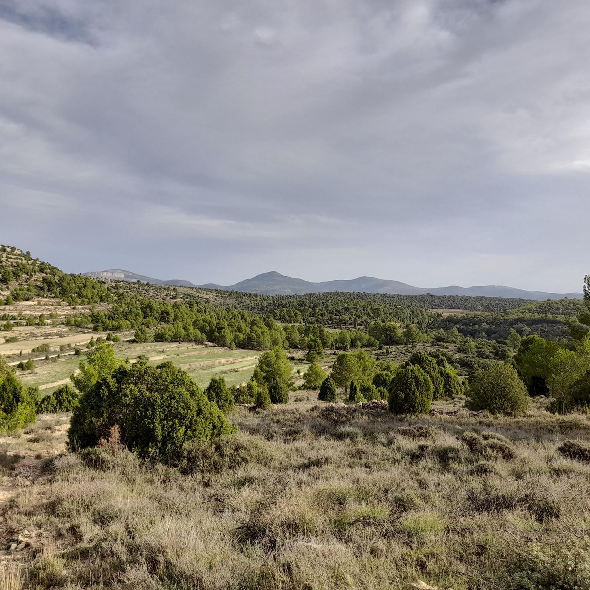
Mountain biking around Fuentes De Rubielos offers diverse natural features and an extensive network of trails. The region is characterized by expansive pine forests, oak groves, and holm oak forests, alongside striking rocky limestone gorges and ravines. Numerous natural springs and the El Morrón River add to the varied landscape, with elevated areas providing panoramic views of the Sierra de Gúdar. This terrain provides a range of mountain bike trails suitable for different disciplines and skill levels.
Best mountain bike…
Last updated: October 1, 2026
5.0
(2)
17
riders
36.2km
03:51
1,100m
1,100m
Hard mountain bike ride. Very good fitness required. Advanced riding skills necessary.
5.0
(1)
3
riders
44.4km
04:22
900m
900m
Moderate mountain bike ride. Good fitness required. Advanced riding skills necessary.

4.0
(1)
40
riders
29.7km
03:08
820m
810m
Moderate mountain bike ride. Good fitness required. Suitable for all skill levels.
30
riders
30.6km
02:56
840m
840m
Moderate mountain bike ride. Good fitness required. Suitable for all skill levels.
11
riders
12.9km
01:23
360m
360m
Moderate mountain bike ride. Good fitness required. Suitable for all skill levels.
Get access to more routes and recommendations from other explorers.
Already have an account?
Our route recommendations are based on thousands of hikes, rides, and runs completed by other people on komoot.
Start today with a free account
Your next adventure awaits.
Tips from the Community

Good views of the surroundings and a good starting point for routes in Enduroland
0
0
From this viewpoint you have views of Puebla de Arenoso, the reservoir, Olba and many of the surrounding populated areas. A good place from which to start some of the Enduroland trails that start in the vicinity of this summit.
0
0

It is a spontaneous natural viewpoint, typical of high mountain areas where: There are panoramic views towards the surroundings of Vilafranca, The landscape of hills, terraces, pine forests and open areas can be observed, There are no built structures (railings, information panels, etc.).
2
0
The Charles IV Bridge in Olba is a historic structure that crosses the Mijares River. This bridge, built in the 18th century, is known for its stone architecture and its importance in connecting local routes. Originally, it had four arches, but two of them were destroyed during the Civil War. The bridge is a highlight on several hiking trails, such as the one from Olba to Fuente los Pertegaces. This circular route allows you to enjoy the natural beauty of the valley and other points of interest such as the Salud aqueduct.
7
0

One of the most notable characteristics of the municipality and that draws the most attention is the dispersion of its population centers. Throughout the valley, groups of houses of various sizes are distributed. The largest is the core of Olba, itself. But we also find the following neighborhoods or villages: Los Lucas, Los Ibáñez Bajos, la Tosca, los Ramones, los Pertegaces, los Villanuevas, los Giles, Casa Bolea, el Casucho, la Artiga, los Ibáñez Altos, la Hoya Ramos, los Tarragones , the Tarrasones, the Moya, the Villagrasas, the Peñablanca, the Barranco del Lobo... among others. The so-called "upper neighborhoods" far from the river and located in the mountains are currently abandoned, with some exceptions. The neighborhoods receive the surnames of the first Christian settlers. Although the name of the neighborhood "Los Ramones" has nothing to do in its origins with the rock band of the same name, the traffic signs with the name of the neighborhood have been the subject of various thefts, presumably as "souvenirs" of the band.
1
0

Beautiful panoramic views from Mas de Chupadillas, not far from the town of Nogueruelas, an ideal area for mountain bike lovers.
1
0
As we roll along the beautiful path of Mora, near the Mas de las Pilas, we come across this beautiful, very picturesque image that the small stream gives us.
1
0
We are in the small town of Olba, in the Gúdar-Javalambre region of the province of Teruel and it is certainly worth a visit. We can walk or ride a bike along the side of the river next to the forests that accompany it or visit the town center, the hermitage of San Pedro, the hermitage of San Roque or the Carlos IV bridge.
2
0
Frequently Asked Questions
How many mountain bike trails are there in Fuentes de Rubielos?
Fuentes de Rubielos offers a comprehensive network of 49 mountain bike trails. These include 32 moderate routes and 17 more challenging options, catering to various skill levels.
What kind of terrain can I expect on mountain bike trails in Fuentes de Rubielos?
The terrain around Fuentes de Rubielos is diverse, featuring expansive pine, oak, and holm oak forests, as well as striking rocky limestone gorges and ravines. You'll also encounter numerous natural springs and the El Morrón River, which offers a pleasant bathing area. Elevated sections provide panoramic views of the Sierra de Gúdar.
Are there any family-friendly mountain bike trails in Fuentes de Rubielos?
While the guide primarily lists moderate and difficult trails, the region's extensive network includes routes suitable for various abilities. For families, look for routes that are shorter and have less elevation gain. The general area is known for well-marked hiking and cycling paths that wind through arboreal areas, which can be adapted for less strenuous rides.
Can I find circular mountain bike routes in Fuentes de Rubielos?
Yes, many of the mountain bike routes in the area are designed as loops. For example, the Sierra de Nogueruelas and Ermita de Santa Isabel Loop is a moderate 44.4 km circular path, and the Carlos IV Bridge – Olba Village loop from Rubielos de Mora offers a 33.1 km moderate ride.
What natural features or landmarks can I see along the mountain bike trails?
You'll encounter a variety of natural features and landmarks. Many routes pass by natural springs, ancient farmhouses, and hermitages like the Ermita de Santa Isabel. You can also find viewpoints such as the San Vicente de Piedrahíta Viewpoint and the Monte la Copa Viewpoint. The region also features the The Cueva Negra and offers views of the Arenós Reservoir.
What do other mountain bikers enjoy most about mountain biking in Fuentes de Rubielos?
The area is highly rated by the komoot community, with an average score of 4.7 stars from over 40 reviews. Reviewers often praise the diverse landscapes, including pine forests and rocky gorges, and the extensive network of trails suitable for various skill levels.
Are there any advanced mountain bike routes for experienced riders?
Yes, Fuentes de Rubielos offers 17 difficult mountain bike trails. A notable challenging route is the Fuentes de Rubielos and Camino del Cid Loop, a 36.2 km trail with significant elevation gain, designed for experienced riders.
Is there parking available near the mountain bike trails?
While specific parking locations are not detailed for every trail, Fuentes de Rubielos and surrounding towns like Olba and Rubielos de Mora are generally accessible by car. You can typically find parking in or near these villages, which serve as common starting points for many routes.
What is the best time of year for mountain biking in Fuentes de Rubielos?
The region is suitable for mountain biking for much of the year. Spring and autumn generally offer pleasant temperatures and vibrant scenery. Summers can be warm, making early morning or late afternoon rides preferable. Winters are typically mild, though higher elevations in the Sierra de Gúdar might experience colder conditions.
Are there any routes that pass by water features or offer opportunities for a swim?
Yes, the El Morrón River offers a pleasant bathing area, perfect for a refreshing break during your ride. Additionally, the region is known for numerous natural springs and fountains, providing scenic spots along various routes. The View of Arenoso Reservoir – Enduroland MTB loop from Los Lucas also offers views of the Arenós Reservoir.
Can I access the mountain bike trails using public transport?
Access to Fuentes de Rubielos and its trails primarily relies on personal transport. While some regional bus services might connect larger towns in Teruel, direct public transport links to specific trailheads are limited. Planning your route with a car or considering local taxi services from nearby towns is recommended.
Are there any multi-day mountain biking tours available in the wider region?
Yes, the broader Teruel province, which includes Fuentes de Rubielos, is home to ambitious initiatives like the Trans Teruel MTB Tour. This offers multi-day routes, such as an 8-day/7-night option covering 340 km with over 7,200 m of elevation gain, or a 7-day/6-night tour spanning 280 km. These tours are designed to explore the diverse landscapes of Teruel.
Most popular attractions around Fuentes De Rubielos

Get inspired with the komoot mobile app


Explore more
Browse the best MTB trails in other regions.
