The best walks and hikes around Fuentes De Rubielos
4.5
(512)
2,957
hikers
47
hikes
Hiking around Fuentes De Rubielos offers access to a diverse landscape characterized by river valleys, rolling hills, and forested areas. The region provides a network of trails suitable for various skill levels, from gentle riverside paths to more challenging ascents. These routes often traverse natural areas, providing views of the local topography.
Best hiking trails around Fuentes De Rubielos
- The most popular hiking route is Aceicuca Trail, an easy 3.2 miles (5.1 km) trail that takes 1 hour 24…
Last updated: September 28, 2026
4.3
(3)
13
hikers
5.10km
01:25
90m
90m
The Aceicuca Trail immerses you in the serene beauty of the Mijares River, offering an easy and accessible hiking experience. Spanning 5.1 kilometers with an elevation gain of just 90…
4.5
(4)
7
hikers
8.85km
02:46
360m
360m
Moderate hike. Good fitness required. Easily-accessible paths. Suitable for all skill levels.

5.0
(6)
23
hikers
12.7km
03:51
410m
410m
Moderate hike. Good fitness required. Easily-accessible paths. Suitable for all skill levels.
5.0
(2)
15
hikers
20.0km
05:45
480m
480m
Hard hike. Very good fitness required. Easily-accessible paths. Suitable for all skill levels.
5.0
(1)
6
hikers
8.19km
02:15
130m
130m
Moderate hike. Good fitness required. Easily-accessible paths. Suitable for all skill levels.
Get access to more routes and recommendations from other explorers.
Already have an account?
Our route recommendations are based on thousands of hikes, rides, and runs completed by other people on komoot.
Start today with a free account
Your next adventure awaits.
Tips from the Community

Great place to rest and eat something outdoors.
0
0

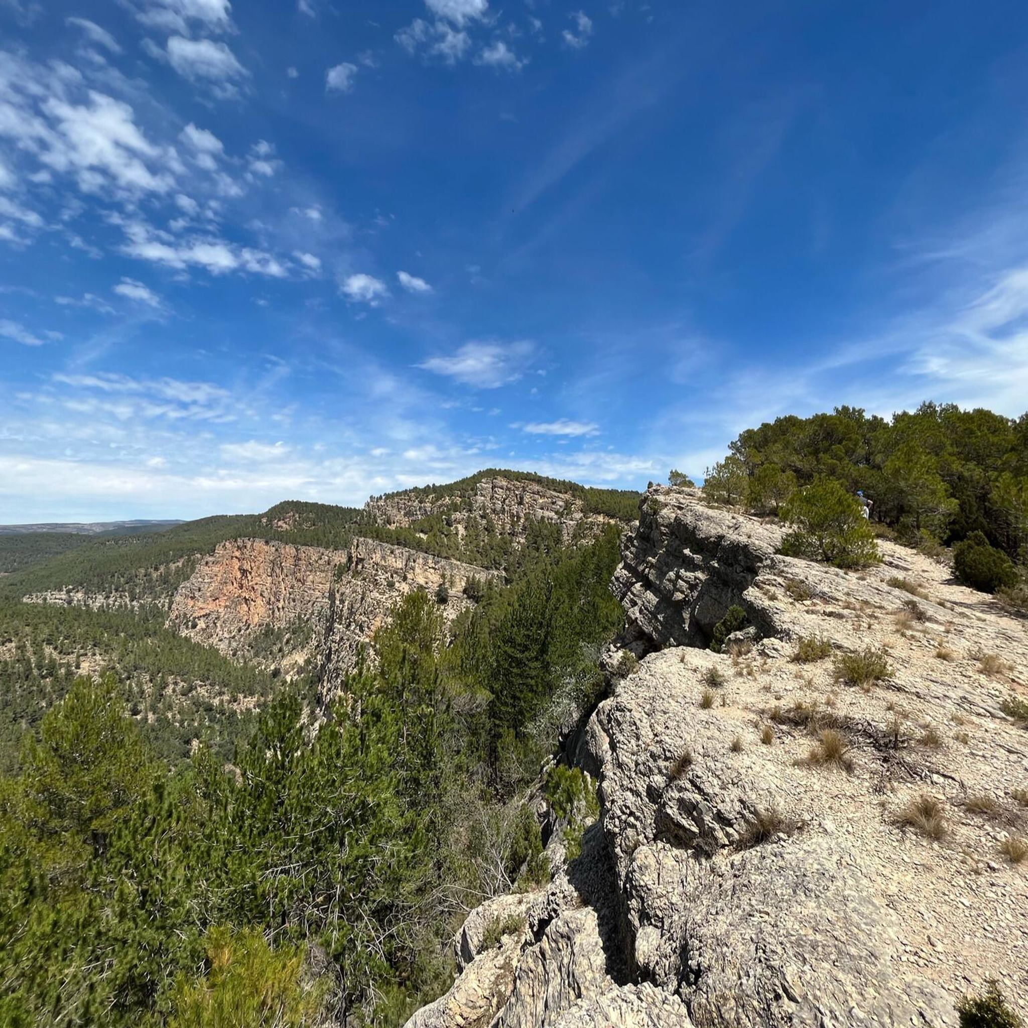
Good views of the surroundings and a good starting point for routes in Enduroland
0
0

Very beautiful this Ermita de San Antonio, located between the roads (now highways) coming from Mora de Rubielos (A-232) and Venta del Aire (A-1515), direction Valencia, in the town of Rubielos de Mora. The construction year of this small temple can be read on the lintel of the window, dating from 1698. This hermitage replaced an older one (14th or 15th century) that was in the same place. This fact was revealed by a Gothic stone image of San Antonio Abad, without hands, found in 1970 in a room of the Hospitalico. The image was placed in the niche of the simple door of the aforementioned Hospitalico. It is a single nave of masonry with ashlar at the corners. Highly recommended to visit this hermitage, as well as the medieval historic center of the town of Rubielos de Mora, which is also deservedly included in the list of The Most Beautiful Villages of Spain.
0
0

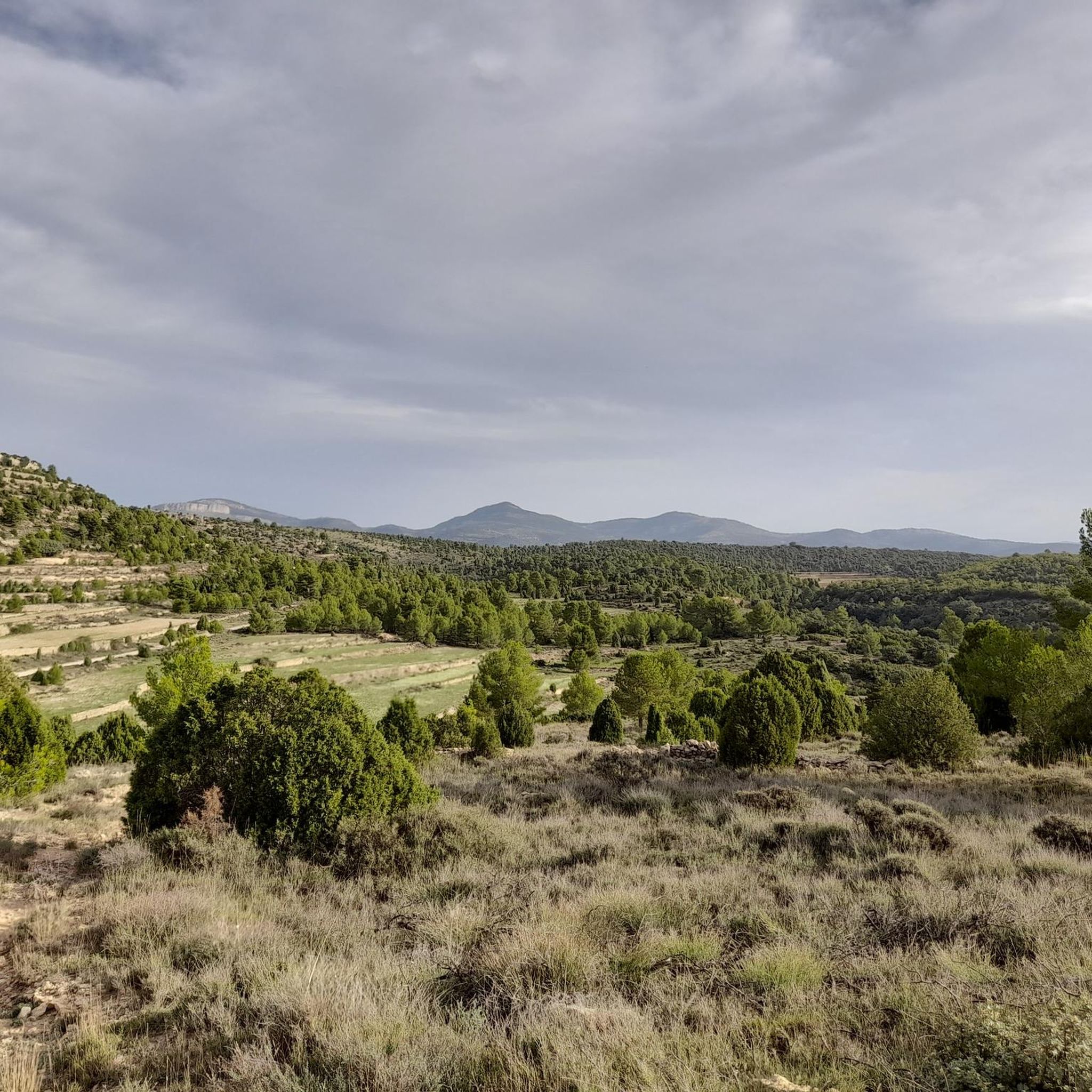
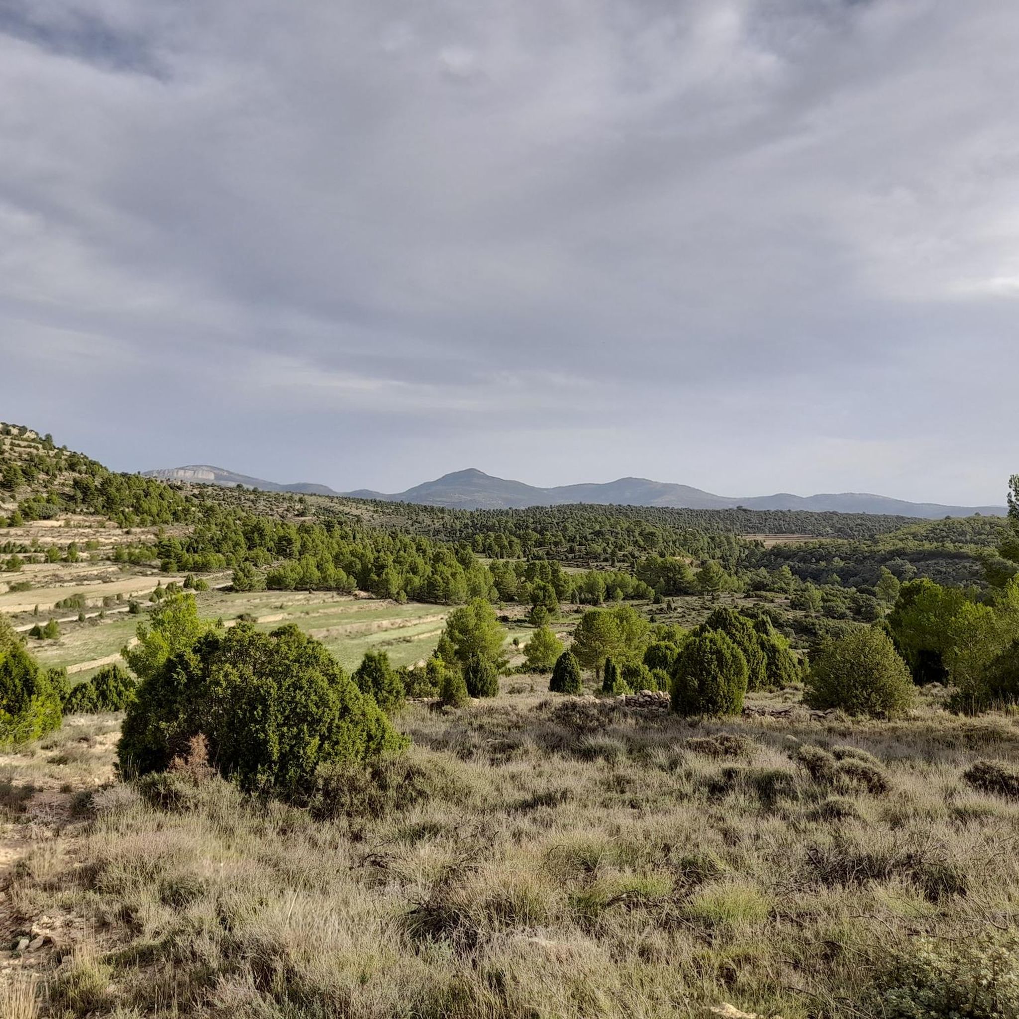
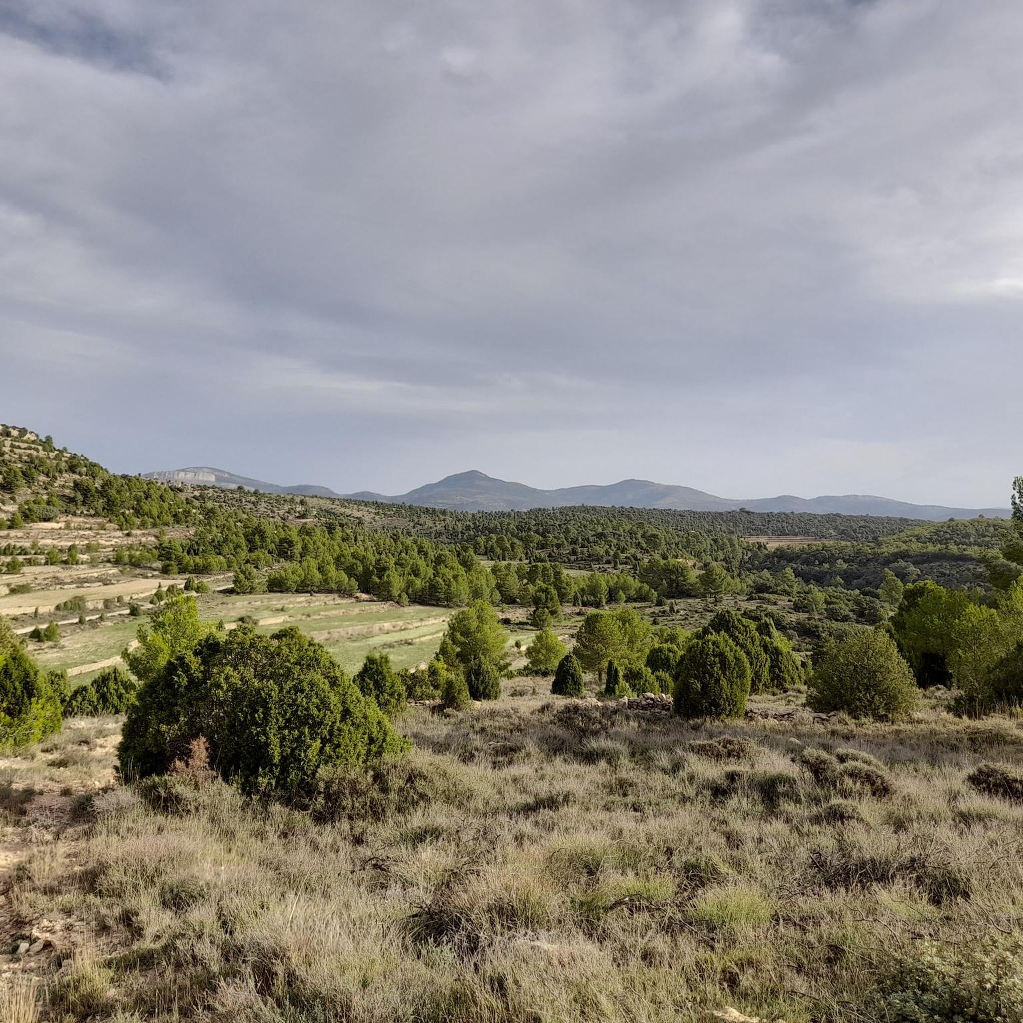
It is a spontaneous natural viewpoint, typical of high mountain areas where: There are panoramic views towards the surroundings of Vilafranca, The landscape of hills, terraces, pine forests and open areas can be observed, There are no built structures (railings, information panels, etc.).
2
0
The Fuente de la Salud (Health Fountain) in Olba (Teruel) is a charming natural spot, highly valued by hikers and visitors seeking tranquility, nature, and pure water. It is a natural spring located in a wooded setting next to the Mijares River, surrounded by native vegetation. It is part of a highly accessible circular hiking route, ideal for all fitness levels. The spring's water is known for its purity and freshness, and has traditionally been attributed with health-giving properties.
2
0
Olba is a charming destination in the province of Teruel, Aragon! Pozas de Olba: These natural pools are perfect for a refreshing swim and to enjoy the tranquility of the surroundings. Cascada del Molino: An impressive waterfall that offers a natural spectacle and an ideal place to relax. Mirador de Estrellas de Olba: Located on top of a hill, this viewpoint offers spectacular views of the night sky. It is a perfect place for stargazing, especially on clear nights. Among many other things.
6
0

The Charles IV Bridge in Olba is a historic structure that crosses the Mijares River. This bridge, built in the 18th century, is known for its stone architecture and its importance in connecting local routes. Originally, it had four arches, but two of them were destroyed during the Civil War. The bridge is a highlight on several hiking trails, such as the one from Olba to Fuente los Pertegaces. This circular route allows you to enjoy the natural beauty of the valley and other points of interest such as the Salud aqueduct.
7
0
Frequently Asked Questions
How many hiking trails are available in Fuentes De Rubielos?
There are over 30 hiking routes in the Fuentes De Rubielos area, catering to various skill levels. You'll find a good mix of easy, moderate, and challenging paths to explore.
Are there any easy hiking trails suitable for beginners or families in Fuentes De Rubielos?
Yes, Fuentes De Rubielos offers several easy trails. A great option for beginners or families is the Aceicuca Trail, which is 3.2 miles (5.1 km) long and takes about 1 hour 24 minutes to complete. The region has 6 easy routes in total.
What is the best time of year to go hiking in Fuentes De Rubielos?
The best time for hiking in Fuentes De Rubielos is typically during spring (April-May) and autumn (September-October). During these seasons, the weather is mild and pleasant, making for comfortable hiking conditions. Summer can be quite hot, while winter might bring colder temperatures, especially at higher elevations.
Are there any circular hiking routes around Fuentes De Rubielos?
Yes, many of the trails in the area are circular, allowing you to start and end at the same point. For example, the Circular route to Morrón de Olba is a popular moderate option that offers varied terrain and viewpoints.
What kind of natural attractions can I expect to see along the hiking trails?
The trails often lead through diverse landscapes including river valleys, forested hills, and agricultural land. You might encounter natural features like the Estrechos de Chillapájaros gorge or the Mijares River Narrows. Some routes also pass by charming settlements such as Olba.
Are the hiking trails in Fuentes De Rubielos dog-friendly?
Generally, many trails in the Fuentes De Rubielos region are suitable for dogs, especially those in natural, less populated areas. However, it's always recommended to keep your dog on a leash, especially near livestock or in protected areas, and to check specific route regulations before you go.
Where can I find parking for hiking trails near Fuentes De Rubielos?
Parking availability varies by trailhead. Many routes, especially those starting from villages like Olba or Fuentes De Rubielos itself, will have designated parking areas nearby. For specific routes, it's best to check the tour details on komoot for information on starting points and parking facilities.
What do other hikers enjoy most about hiking in Fuentes De Rubielos?
The hiking routes in Fuentes De Rubielos are highly rated by the komoot community, with an average score of 4.5 stars from over 300 reviews. Hikers often praise the region's diverse scenery, from tranquil river paths to more challenging ascents with rewarding views, and the well-maintained network of trails.
Are there any trails that offer viewpoints or panoramic vistas?
Yes, several trails in the region provide excellent viewpoints. The Circular route to Morrón de Olba, for instance, includes elevation gain that leads to scenic overlooks, allowing you to appreciate the local topography of river valleys and forested areas.
Can I find cafes or places to eat near the hiking trails?
While many trails traverse natural areas, some routes pass through or near villages where you can find local amenities. For example, the Olba – Olba Village loop from Fuentes de Rubielos takes you through rural landscapes and villages, where you might find small cafes or restaurants to refuel.
Are there any opportunities for wild swimming along the hiking routes?
The region is characterized by river valleys, and while specific designated wild swimming spots directly on hiking routes are not always highlighted, areas like the Fuente de los Baños - Montanejos Lake are known for their natural waters and are popular for swimming. Some trails may pass by river sections suitable for a refreshing dip, but always exercise caution and respect local regulations.
What is the typical duration for a moderate hike in Fuentes De Rubielos?
Moderate hikes in Fuentes De Rubielos can vary in length and duration. For example, the Olba – Acueducto de la Salud loop from Olba is 5.1 miles (8.2 km) and typically takes around 2 hours 15 minutes. Longer moderate routes, like the Olba – Olba Village loop at 8.0 miles (12.9 km), can take closer to 3 hours 52 minutes.
Most popular attractions around Fuentes De Rubielos

Get inspired with the komoot mobile app


Explore more
Browse the best Hikes in other regions.
