The best walks and hikes around Narbonne
4.5
(6709)
37,885
hikers
1,103
hikes
Hiking around Narbonne offers diverse landscapes, from the limestone formations of the Massif de la Clape to the extensive lagoons and sandy beaches of the Mediterranean coastline. The region is characterized by its varied terrain, including garrigue, vineyards, and the waterways of the Canal de la Robine. Elevations in the area reach up to 214 meters, providing panoramic views.
Best hiking trails around Narbonne
- The most popular hiking route is Le Sentier du Guetteur – round trip from La Franqui, a 4.6 miles (7.5 km) trail that takes 1 hour 59 minutes to complete. This route offers coastal views and passes through varied Mediterranean vegetation.
- Another top favourite among local hikers is Étang de Gruissan, an easy 3.8 miles (6.1 km) path. This trail explores the scenic surroundings of the Gruissan lagoon, known for its birdlife and tranquil waters.
- Local hikers also love the Along the Verdouble Trail, a 4.1 miles (6.6 km) trail leading through the Verdouble river valley, often completed in about 1 hour 57 minutes.
- Hiking around Narbonne is defined by coastal paths, limestone massifs, and extensive lagoons. The network offers options for easy walks along the water and more challenging trails through the hills.
- The routes in Narbonne are highly rated by the komoot community with an average score of 4.5 stars from over 4000 reviews. More than 24000 hikers have used komoot to explore Narbonne's varied terrain.
Last updated: September 26, 2026
4.7
(117)
858
hikers
7.43km
02:00
90m
90m
The circular trail "Le Sentier du Guetteur – round trip from La Franqui" offers an unparalleled coastal experience, perfect for unwinding and enjoying the sea air. This route immerses you in a Mediterranean landscape, with the sound of the waves and the salty breeze as constant companions. Along the way, you'll pass by the historic Redoute de La Franqui, a point of interest that adds a cultural touch to your walk, and enjoy open sea views.
This hike is easy, covering a distance of 7.5 kilometers with an elevation gain of only 86 meters, making it accessible for most hikers. You can complete it in approximately 1 hour and 59 minutes, making it an ideal option for a half-day excursion. I suggest starting from La Franqui, preferably in the morning or at sunset, to take advantage of the best light and avoid the hottest hours of the day.
What truly stands out about this route are the breathtaking panoramic views of the Gulf of Lion that accompany you almost the entire time. The trail takes you along the Chemin des Forts, an ancient path connecting several strategic points on the coast, including the majestic Cap Leucate Lighthouse. It's a fantastic opportunity to combine gentle exercise with contemplation of a spectacular maritime landscape and observation of local flora.
4.6
(97)
725
hikers
6.09km
01:32
10m
10m
Easy hike. Great for any fitness level. Easily-accessible paths. Suitable for all skill levels.

4.5
(88)
289
hikers
4.68km
01:15
50m
50m
Hike an easy 2.9-mile loop from Saint-Pierre-la-Mer to the unique Œil Doux Sinkhole, featuring an emerald lake and towering cliffs.
4.6
(90)
359
hikers
6.59km
01:57
190m
190m
Hike an easy 4.1-mile (6.6 km) loop along the Verdouble river, featuring gorges, waterfalls, and natural pools.
4.7
(118)
505
hikers
4.50km
01:11
40m
40m
Hike the easy 2.8-mile Les Goules Trail for diverse scenery, including Ayrolle Pond views, vineyards, and varied terrain near Gruissan.
4.6
(71)
292
hikers
6.24km
01:41
80m
80m
Hike an easy 3.9-mile (6.2 km) loop around L'Étang du Doul from Peyriac-de-Mer, enjoying lagoon views and diverse birdlife.
4.7
(87)
293
hikers
6.52km
01:49
120m
120m
Hike the easy 4.1-mile La Goutine Loop Trail for panoramic views of Gruissan, the Red Beard Tower, and varied landscapes.
4.5
(52)
243
hikers
8.22km
02:19
170m
180m
Hike the moderate 5.1-mile Chapelle des Auzils Trail to discover coastal views, historic chapels, and a unique marine cemetery.
4.5
(52)
274
hikers
10.6km
02:45
70m
70m
Hike the moderate 6.6-mile (10.6 km) Tour of the Étang de Gruissan via La Capoulade for diverse terrain and panoramic views.
4.5
(27)
223
hikers
7.33km
01:58
80m
80m
Moderate hike. Great for any fitness level. Mostly accessible paths. Sure-footedness required.
Get access to more routes and recommendations from other explorers.
Already have an account?
Our route recommendations are based on thousands of hikes, rides, and runs completed by other people on komoot.
Start today with a free account
Your next adventure awaits.
Popular around Narbonne
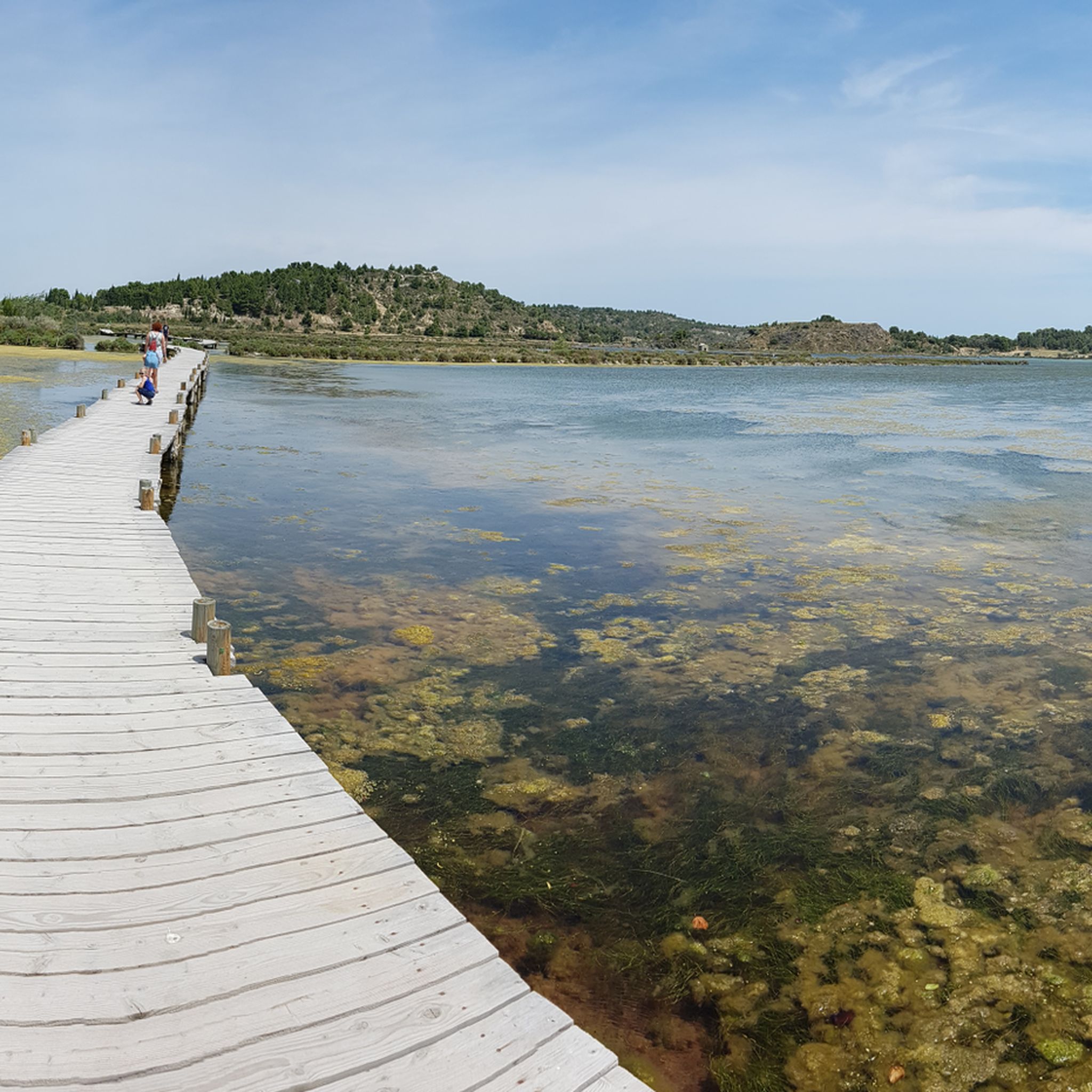
Hiking in La Narbonnaise En Méditerranée
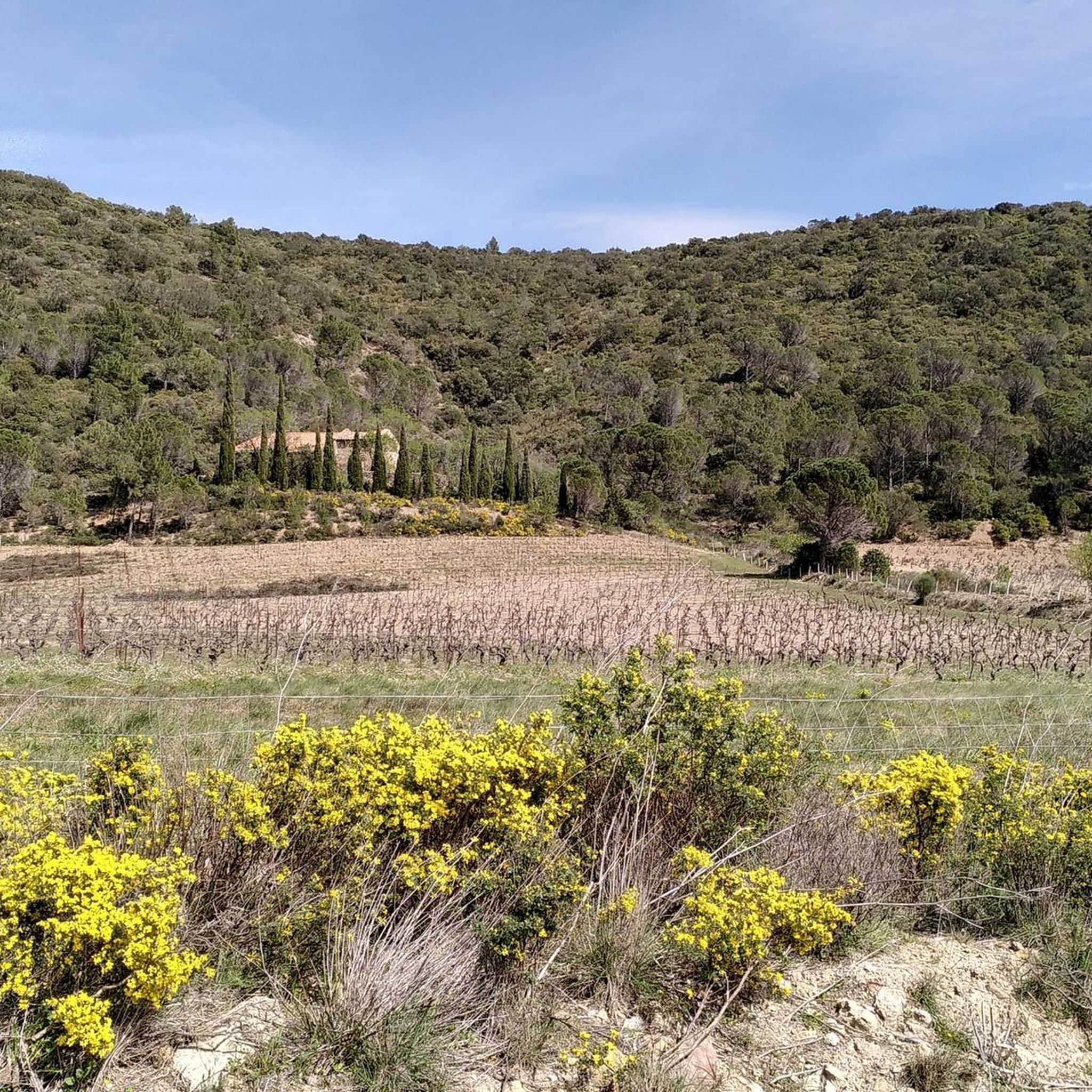
Hiking in Parc Naturel Régional Corbières-Fenouillèdes
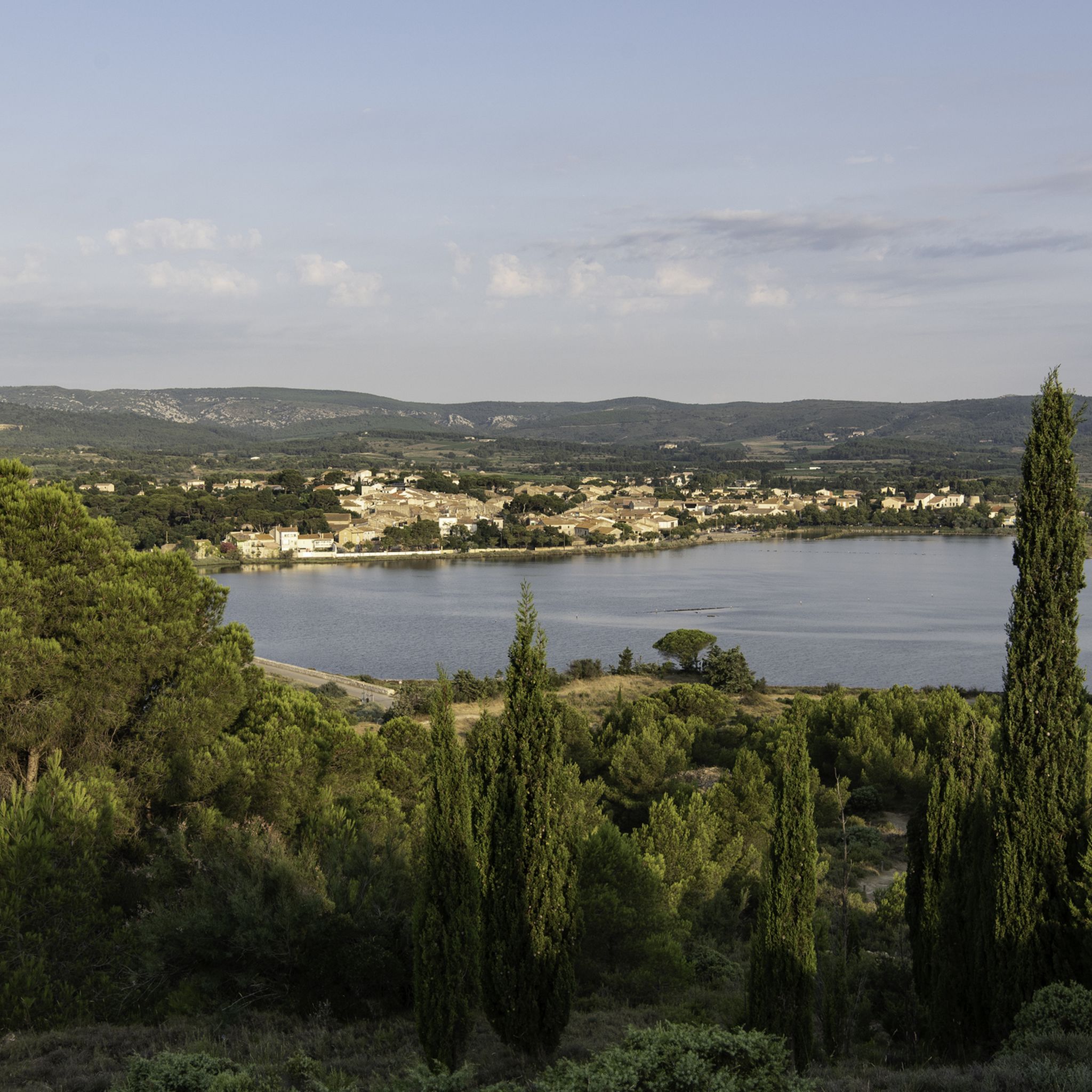
Hiking around Gruissan
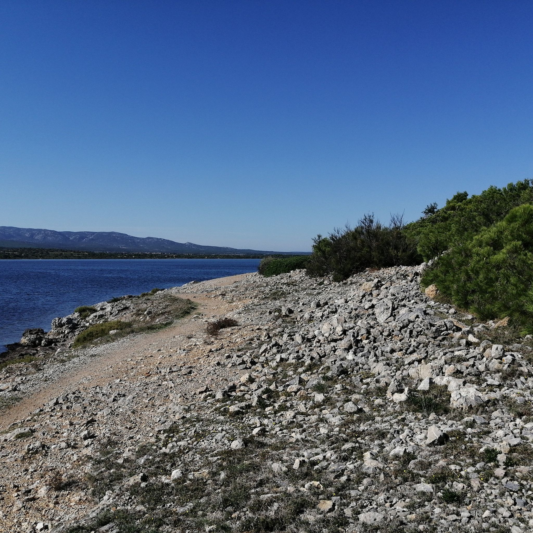
Hiking around Leucate
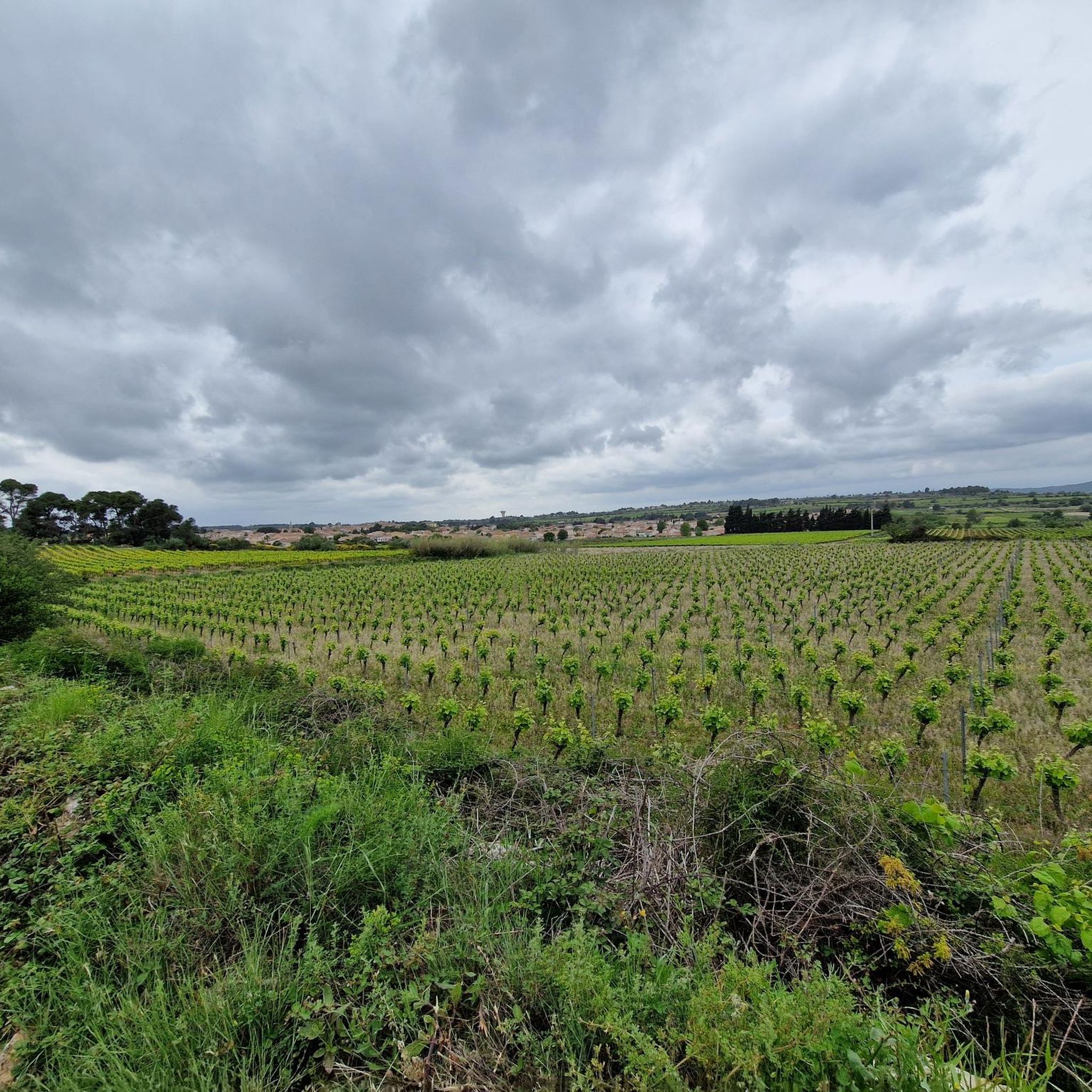
Hiking around Fleury
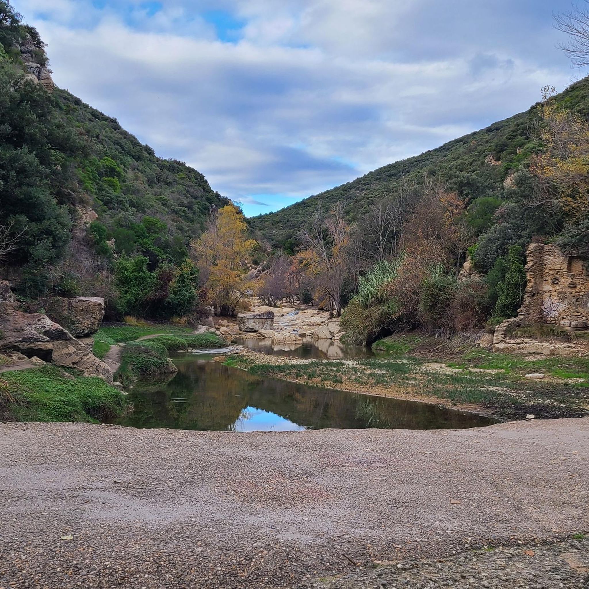
Hiking around Duilhac-Sous-Peyrepertuse
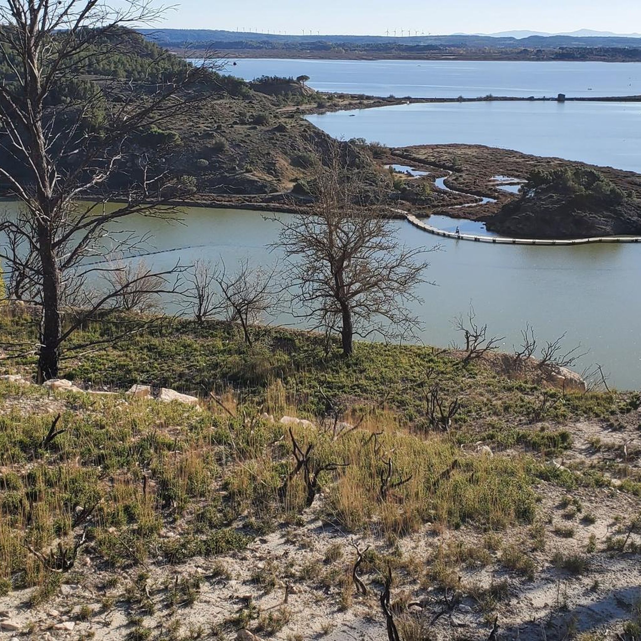
Hiking around Peyriac-De-Mer
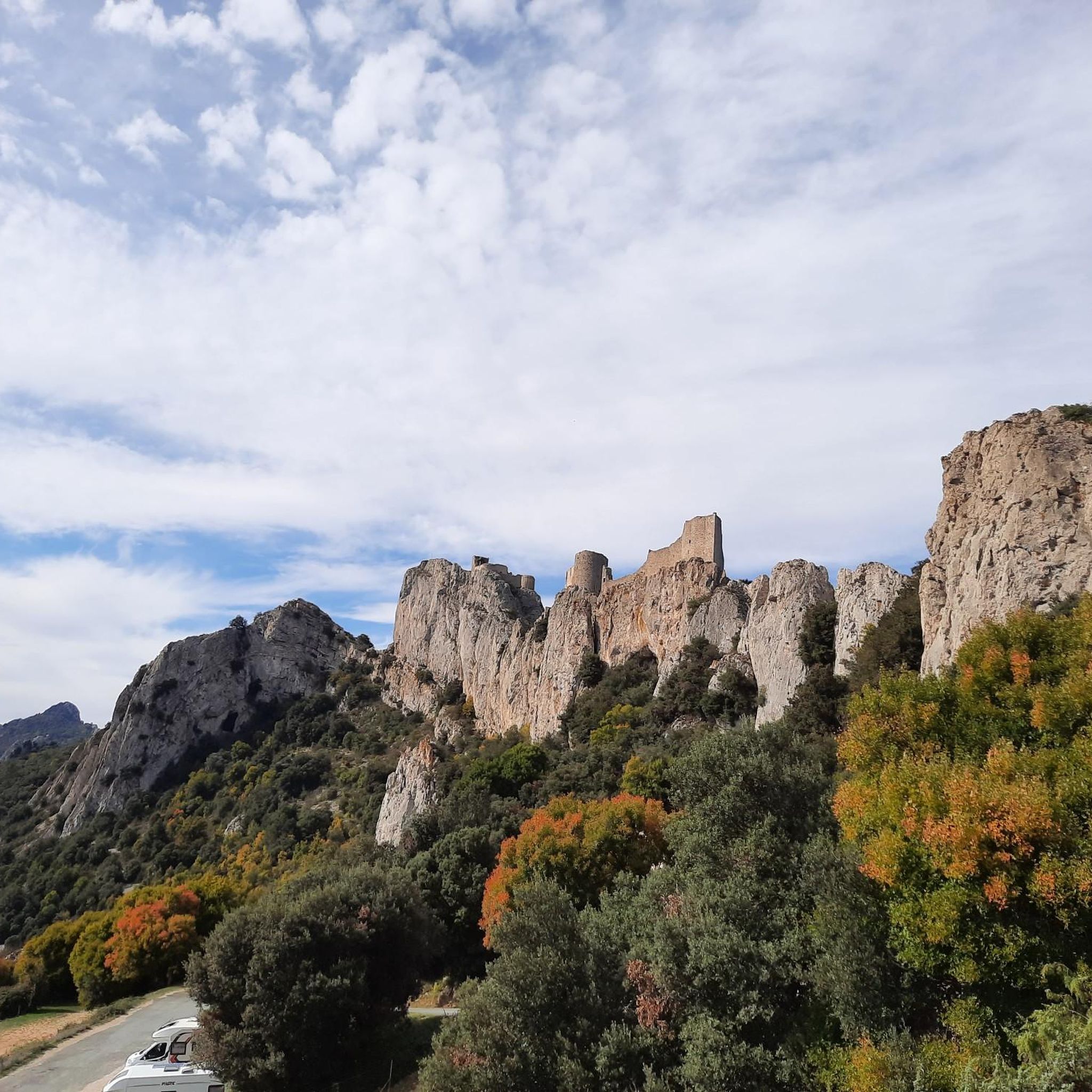
Hiking around Rouffiac-Des-Corbières
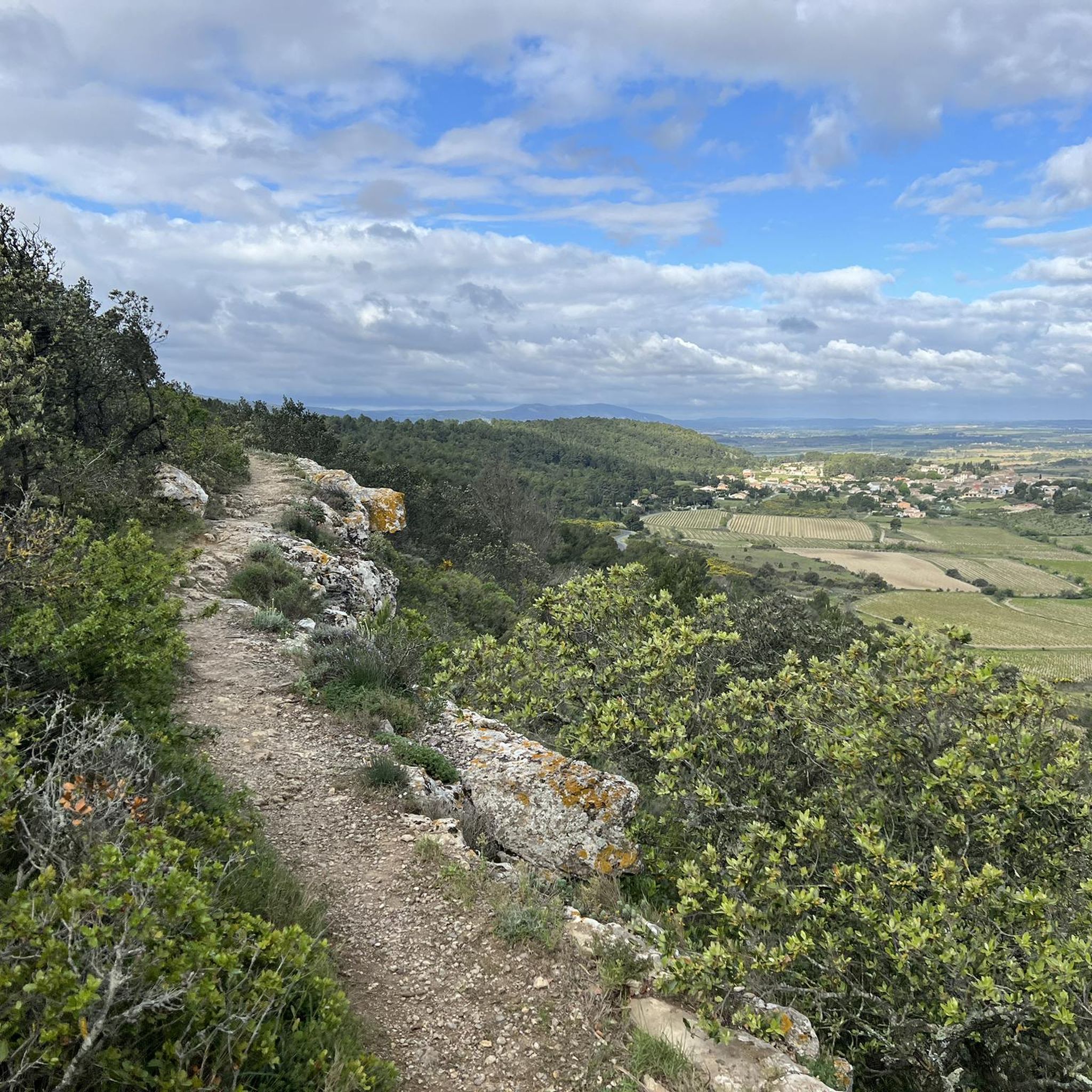
Hiking around Conilhac-Corbières
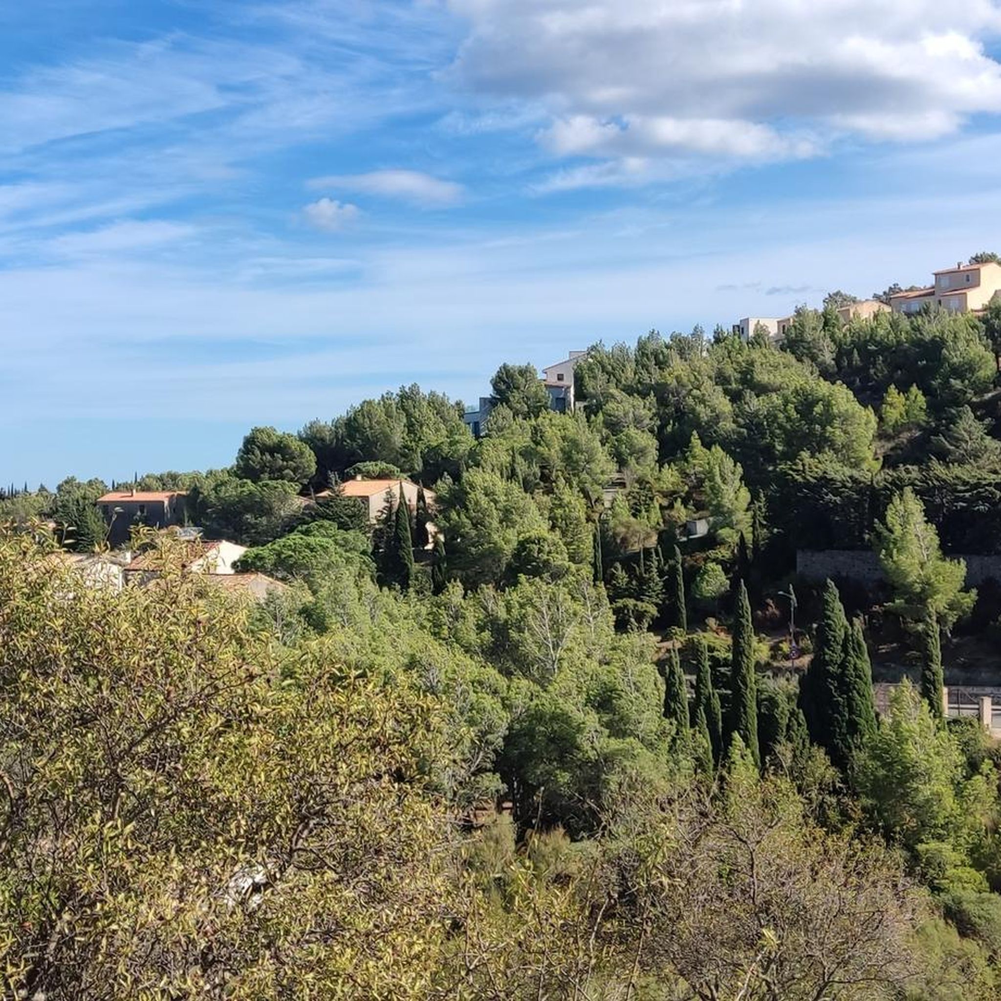
Hiking around Caves
Other adventures around Narbonne


Tips from the Community

The Ayrolle pond is one of the large lagoons on the Narbonne coast. Separated from the Mediterranean by the coastal strip, it remains in communication with the sea through the Vieille Nouvelle channel, which allows water exchange between the lagoon and the sea. Its landscape changes significantly depending on the weather conditions: the surface is almost still in calm weather, while the Ayrolle can, on the contrary, be strongly agitated by the Cers wind. This vast wetland is part of the mosaic of lagoons, salt pans, sansouires, and reed beds of the Narbonnaise. It constitutes an important habitat for fish and numerous water birds, particularly waders, gulls, and terns. The Ayrolle also retains lagoon fishing activity, practiced from the huts located at its end. From Saint-Martin Island, the contrast is particularly striking between the limestone reliefs and the vast flat surface of the lagoon.
2
0
With an average depth of only 55 cm, the Étang de Gruissan is more of a lagoon than a true "lake". Its brackish waters depend on exchanges between the sea, canals, and watershed, while winds can significantly alter its functioning. It is part of the six lagoons of the Narbonne complex, protected notably for the richness of their wetlands and their importance for birds. A few kilometers away, the remains of Île Saint-Martin recall another era: between the 2nd century BC and Roman antiquity, these lagoons were part of Narbonne's vast port system.
2
0
From this narrow strip of land, the Gruissan lagoon landscape reads almost like a succession of parallel bands: the wetlands and secondary ponds to the south, the path on which we are, the Sainte-Marie canal, then the Gruissan pond to the north. The Sainte-Marie canal bears witness to the old hydraulic development of this coastal plain. Integrated into a network of canals intended to manage its waters, it notably contributed to the draining of the old salt pond. Today, it contributes to the freshwater supply of the Gruissan pond and thus participates in the salinity variations of the lagoon.
2
0
This viewpoint offers an unobstructed view of the Barberousse Tower, perched on its limestone promontory on the edge of the Gruissan pond. The current tower, built between 1245 and 1247 by the Archbishop of Narbonne, Guillaume de Broa, is the main remnant of the medieval castle that monitored maritime access to the Narbonne sector.
2
0

This small 18th-century coastal fort watched over the French Mediterranean coast for decades. Today it is a magnificent viewpoint over the Gulf of Lion and the beaches of La Franqui, a perfect place to take a break and enjoy the landscape.
1
0
The Rec gorges resemble a forgotten fault in the middle of La Clape! We appreciate getting off our bikes, following the stream to admire it. A spectacular setting… that is earned until the end, with a short bike carry up the stairs to leave the canyon.
1
0


Beautiful place...no people around...it's probably packed during the holiday season...
0
0
Frequently Asked Questions
What kind of terrain can I expect when hiking around Narbonne?
Narbonne offers a remarkably diverse hiking landscape. You'll find trails winding through the limestone formations of the Massif de la Clape, along the serene paths of the Canal de la Robine, and beside extensive lagoons and fine sandy beaches. The region also features picturesque vineyards and stretches of garrigue, particularly in the Corbières area. Elevations can reach up to 214 meters, providing varied challenges and panoramic views.
Are there many easy hiking trails suitable for beginners or families in Narbonne?
Yes, Narbonne is very welcoming for beginners and families, with over 530 easy routes available. Many trails offer gentle gradients, especially those along the coast or around the lagoons. For example, the Étang de Gruissan trail is an easy path exploring the scenic lagoon, known for its birdlife and tranquil waters.
What natural features or landmarks can I see on hikes in the Narbonne area?
The region is rich in natural beauty and historical sites. You can explore the dramatic cliffs and unique flora of the Massif de la Clape, or visit the striking natural monument of the Gouffre de l'Oeil Doux, which is part of the Gouffre de l'Oeil Doux Circuit. The UNESCO World Heritage site of the Canal de la Robine also offers serene paths. Additionally, the Gruissan Lagoon and the extensive wetlands are vital habitats for numerous bird species.
Are there any circular hiking routes around Narbonne?
Yes, many trails in the Narbonne area are designed as circular routes, allowing you to start and end at the same point. An example is the Le Sentier du Guetteur – round trip from La Franqui, which offers coastal views and varied Mediterranean vegetation. Another option is the La Goutine Loop Trail, providing a pleasant walk through the local landscape.
What is the best time of year to go hiking in Narbonne?
The Narbonne region, with its Mediterranean climate, is pleasant for hiking for much of the year. Spring and autumn generally offer the most comfortable temperatures for longer walks, with blooming wildflowers in spring and vibrant colors in autumn. Summer can be hot, so early morning or late afternoon hikes are recommended, especially along coastal paths where sea breezes provide some relief. Winters are generally mild, making it possible to hike year-round.
Can I bring my dog on the hiking trails in Narbonne?
Many natural areas and trails around Narbonne are dog-friendly, especially within the Narbonne Regional Natural Park. However, it's always advisable to keep your dog on a leash, particularly in protected areas to safeguard local wildlife and in vineyards. Always check specific trail regulations before you go, as some reserves might have restrictions during nesting seasons or in certain sensitive habitats.
Are there any historical sites or cultural attractions accessible via hiking trails?
Absolutely. The region blends natural beauty with rich history. Within the Massif de la Clape, you can find the serene Chapel of Notre-Dame des Auzils, which is a highlight on routes like the Chapelle des Auzils Trail. Further afield, the historic Abbaye de Fontfroide, a Cistercian monastery, is nestled in the Corbières countryside and can be a destination or starting point for hikes through vineyards and hills.
What are the typical durations for hikes around Narbonne?
Hikes around Narbonne vary greatly in length and duration, catering to all fitness levels. Many easy trails, like Les Goules Trail, can be completed in about 1.5 to 2 hours. Moderate routes, such as the Fisherman's Trail – loop from Leucate, might take around 2.5 to 3 hours. Longer, more challenging day hikes can extend to 4 hours or more, offering deeper exploration of the diverse landscapes.
What do other hikers say about the trails in Narbonne?
The hiking routes in Narbonne are highly regarded by the komoot community, with an average score of 4.5 stars from over 4000 reviews. Hikers often praise the diverse landscapes, from coastal paths to limestone massifs and extensive lagoons, and appreciate the variety of options for both easy walks and more challenging trails through the hills. The well-preserved natural environment and the integration of historical sites are frequently highlighted.
Are there opportunities for wild swimming or water activities near the hiking trails?
Yes, the Narbonne region is known for its extensive coastline and lagoons, offering opportunities for refreshing dips. After a hike, you can enjoy the fine sandy beaches of Narbonne-Plage or explore the tranquil waters of the Bages and Sigean ponds. The Tour of the Étang de Gruissan via La Capoulade, for instance, brings you close to the lagoon, where you might find spots to cool off.
How many hiking trails are available in the Narbonne area?
There are over 1000 hiking routes available around Narbonne, ranging from easy strolls to more challenging treks. This extensive network ensures there's a suitable path for every preference and fitness level, allowing you to explore the region's diverse landscapes, from coastal areas to inland massifs and vineyards.
Most popular routes around Narbonne
Most popular attractions around Narbonne

Get inspired with the komoot mobile app


Didn’t find what you were looking for?
Check out more Hikes throughout Narbonne below and find the perfect route in your destination.
Explore more
Browse the best Hikes in other regions.
