The best cycling routes around Mont-Louis
4.1
(159)
5,010
riders
160
rides
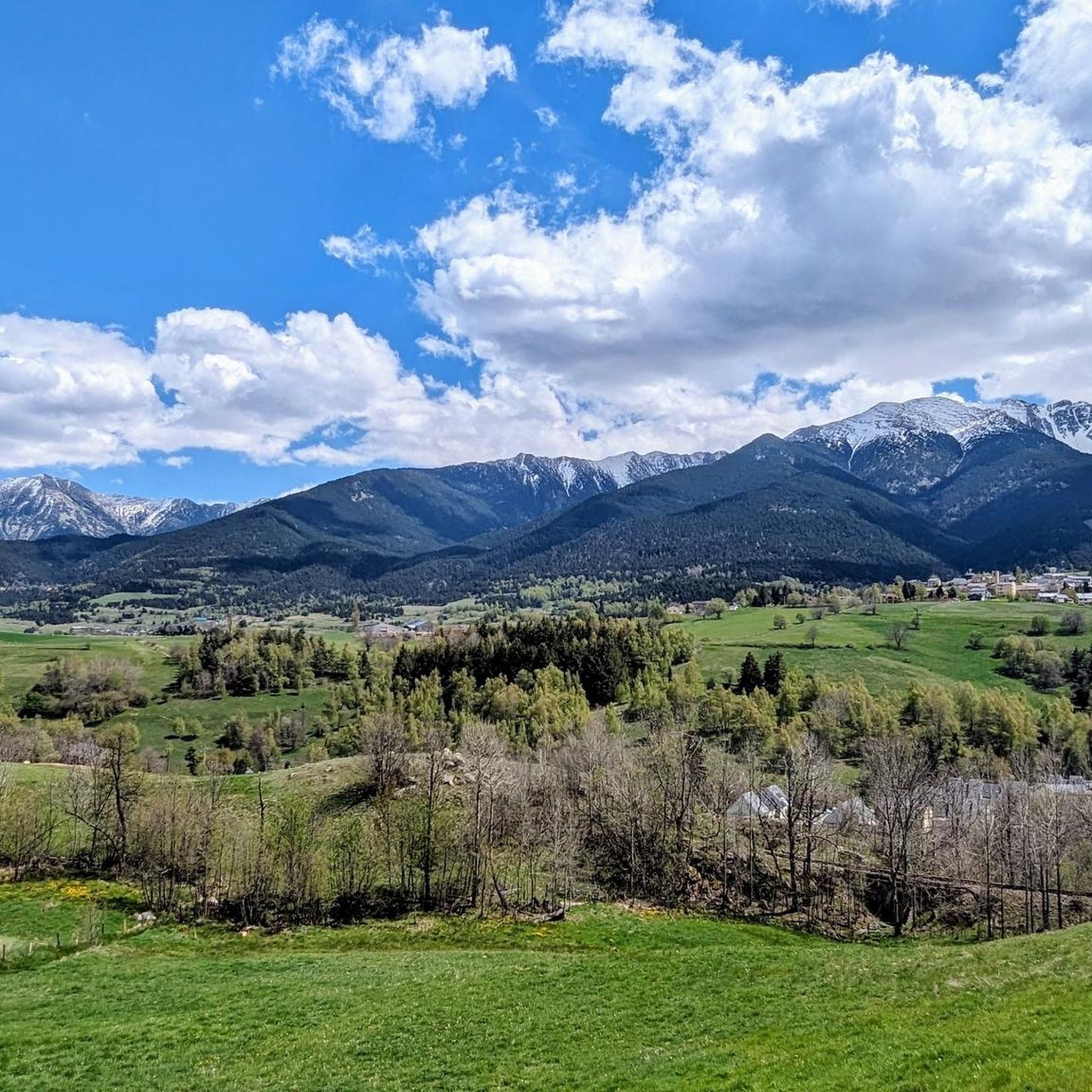
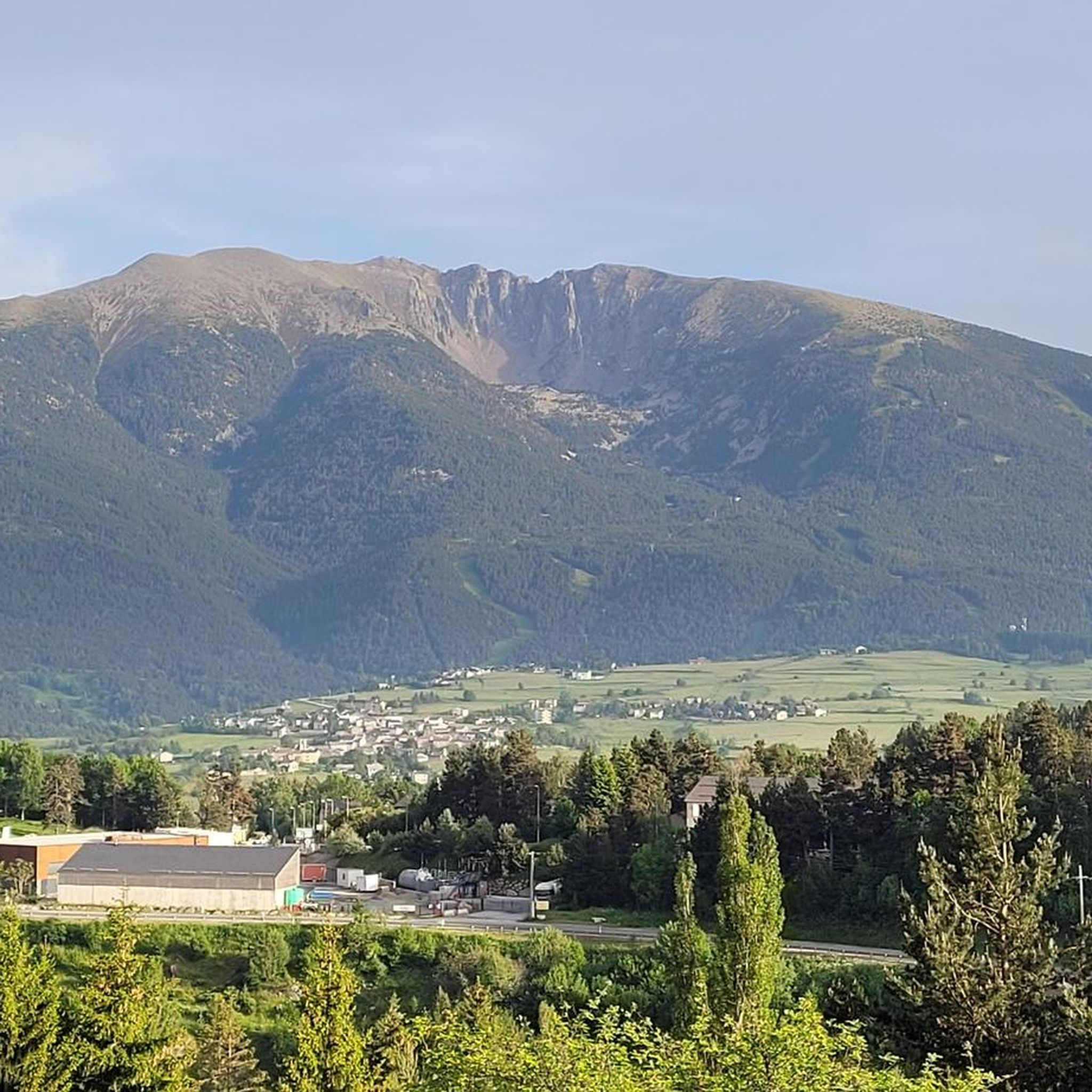
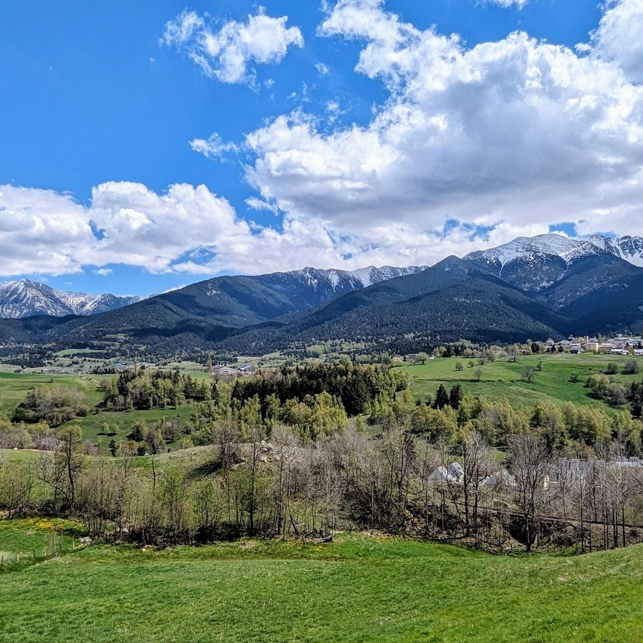
Touring cycling around Mont-Louis, situated at 1600 meters in the Catalan Pyrenees, provides access to varied terrain. The region features Pyrenean mountains, deep gorges, and picturesque lakes such as Lac des Bouillouses. Cyclists can expect routes through forests and meadows, often with significant elevation changes. The area is characterized by its high-altitude environment and historical fortifications.
Best touring cycling routes around Mont-Louis
- The most popular touring cycling route is Col du Calvaire (Font-Romeu) – Font-Romeu loop from Mont-Louis - La…
Last updated: August 11, 2026
4.7
(6)
68
riders
Hard bike ride. Very good fitness required. You may need to push your bike for some segments of this route.
5.0
(1)
34
riders
Hard bike ride. Very good fitness required. Mostly paved surfaces. Suitable for all skill levels.

Sign up for free
15
riders
15.0km
01:11
130m
130m
Easy bike ride. Great for any fitness level. Mostly paved surfaces. Suitable for all skill levels.
27
riders
22.5km
01:35
410m
410m
Moderate bike ride. Good fitness required. Mostly paved surfaces. Suitable for all skill levels.
12
riders
31.8km
02:14
630m
630m
Hard bike ride. Very good fitness required. Mostly paved surfaces. Suitable for all skill levels.
Get access to more routes and recommendations from other explorers.
Sign up for free
Already have an account?
Our route recommendations are based on thousands of hikes, rides, and runs completed by other people on komoot.
Start today with a free account
Your next adventure awaits.
Login or Signup
Tips from the Community

Located inconspicuously next to the road, a small Stations of the Cross lead to Mount Calvary. A magnificent view from the top.
0
0

Well, starting from Font Romeu and breaking legs from Mont Louis
0
0

A leisurely drive through the foothills of the Pyrenees, with the many spa towns of this region on the plateau in the background.
0
0
There are several historical posters in the station building. The Yellow Train was built to serve the spa towns in the Pyrenees.
0
0

The Col de la Calvaire de Font Romeu is a mountain pass in French Cerdanya, next to the town and ski resort of Font Romeu. This port connects the Bolquère valley with the Cerdanya valley. The port is within the same town of Font Romeu, next to the station's ski lifts. There are many slopes to reach Col de la Calvaire: - the western slope that starts from Ur is approximately 16 km and crosses the town of Targasone and the Col d'Egat. It is a very steep climb along a road in perfect condition, although on holidays there is a lot of traffic. - The southern slope starts from Llívia and crosses Estavar and joins the previous one at the Col d'Egat. Unlike the first, the first section of the climb is very hard, with several horseshoe curves and with wonderful views of the entire Cerdanya and the Tosa d'Alp. - The eastern slope stops at Olette, and after approximately 28 km it reaches the top of the pass, passing through the town of Mont-Louis and Bolquère. It is a very steep climb, like the first, on a road in perfect condition but with a lot of traffic. I don't like going up here. - the eastern slope that starts from Olette and passes through the Col de la Perche, reaching the town of Font-Romeu and from there to the top. Of all the slopes, the one I like the most is the slope that starts from Llívia and crosses Estavar.
0
0

Culminating at 1,579 meters above sea level, the Col de la Perche can be climbed by four routes in total. Each of them includes relatively gentle slopes. At the top, the view of the surrounding area is splendid and rewards your efforts!
0
0
Located around 1,800 meters above sea level, Font-Romeu is a dynamic mountain resort. It offers numerous restaurants where you can refuel before or after outdoor activities.
0
0
Frequently Asked Questions
How many touring cycling routes are available around Mont-Louis?
Mont-Louis offers a wide selection of touring cycling routes, with over 150 options to explore. These routes cater to various skill levels, including 27 easy, 50 moderate, and 73 difficult trails, ensuring there's something for every cyclist.
What kind of terrain and landscapes will I encounter on touring cycling routes near Mont-Louis?
Touring cycling around Mont-Louis, situated at 1600 meters in the Catalan Pyrenees, provides access to diverse terrain. You can expect routes through Pyrenean mountains, high-altitude forests, and meadows. The area features significant elevation changes, with both paved and unpaved sections, and offers views of dramatic gorges and picturesque lakes like Lac des Bouillouses.
Are there any family-friendly touring cycling routes in the Mont-Louis area?
While many routes around Mont-Louis involve significant elevation, there are easier paths suitable for families. The region offers a mix of terrain, and areas around lakes such as Lacs de Pradeilles are known for pleasant and family-friendly tours with easy access. Look for routes categorized as 'easy' to find suitable options.
What historical or natural landmarks can I see along the touring cycling routes?
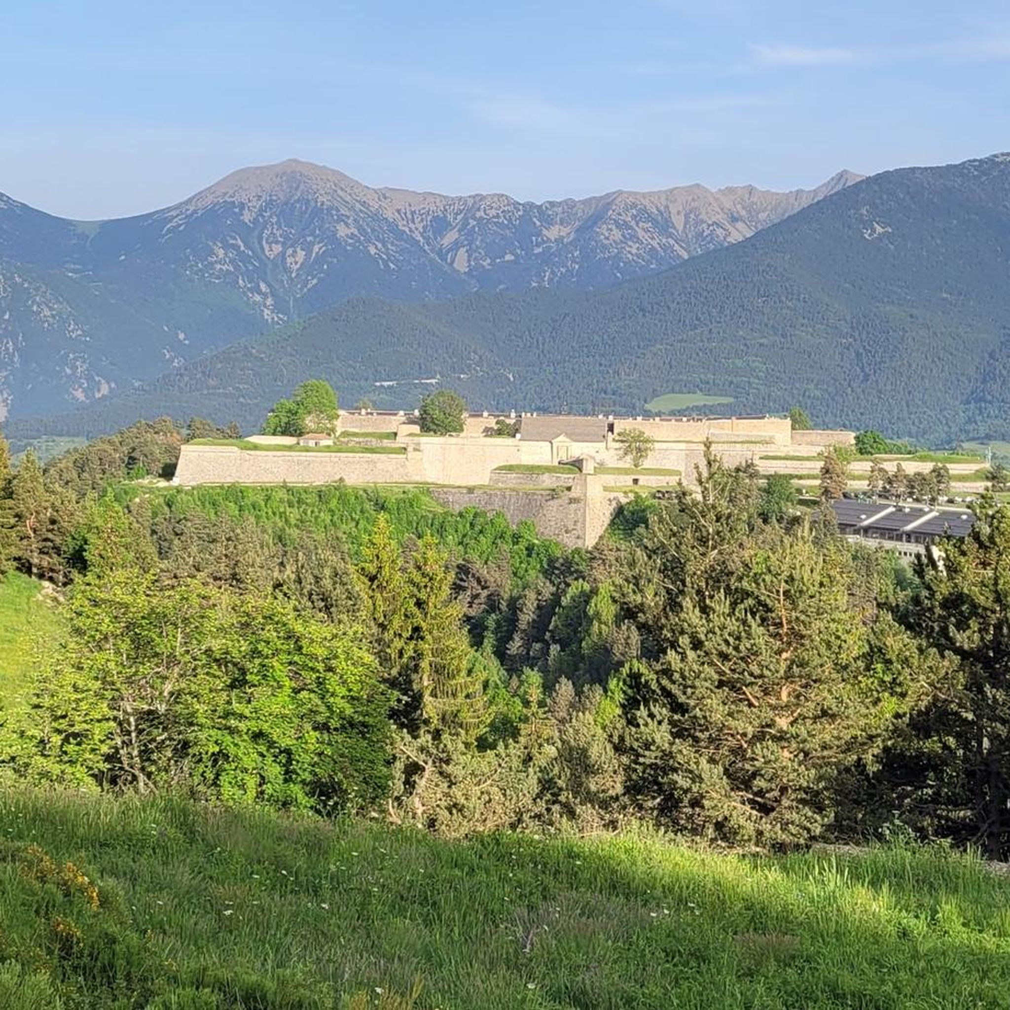
Mont-Louis is rich in both history and natural beauty. You can cycle past the 17th-century UNESCO-listed fortifications of Mont-Louis itself. Natural highlights include the dramatic Gorges de la Carança, and high-altitude lakes like Lac des Bouillouses. You might also encounter mountain passes such as Col de la Llose or Col Mitjà, offering stunning views.
What is the best time of year for touring cycling in Mont-Louis?
Mont-Louis's elevated position at 1600 meters means the cycling season is typically best from late spring through early autumn. During these months, the weather is generally more favorable, and mountain passes are clear of snow, allowing access to the full network of routes. Winter conditions can make many high-altitude routes inaccessible.
Are there any circular touring cycling routes around Mont-Louis?
Yes, many touring cycling routes in the Mont-Louis area are designed as loops. For example, you can try the Col du Calvaire (Font-Romeu) – Font-Romeu loop, which is 26.5 km, or the Col de la Perche (1,579 m) – Church and village of Llo loop, covering 31.8 km. These loops allow you to start and finish in the same location, often Mont-Louis - La Cabanasse.
What do other touring cyclists say about the routes in Mont-Louis?
The touring cycling routes in Mont-Louis are highly rated by the komoot community, with an average score of 4.2 stars from over 100 reviews. More than 4,000 touring cyclists have used komoot to explore the varied terrain, often praising the challenging climbs, diverse landscapes, and the historical context of the area.
Can I access touring cycling routes around Mont-Louis using public transport?
Mont-Louis is a stop on the scenic "Yellow Train" (Train Jaune) route, with the Montlouis-La Cabanasse railway station about a 20-minute walk from the village. This offers an alternative way to reach the area and potentially access routes. It's advisable to check specific train regulations regarding bicycles before planning your trip.
Are there any particularly challenging touring cycling routes for advanced riders?
For advanced riders seeking a challenge, Mont-Louis offers several difficult routes with significant elevation gains. The Col de la Llose – Refuge du col de la Llose loop is a demanding 37.2 km route with nearly 1000m of elevation gain. Another option is the Col de la Llose – Col de la Llose loop, a 47.1 km ride with over 1500m of climbing, requiring excellent fitness.
Where can I find accommodation or places to rest near the cycling routes?
The region around Mont-Louis offers various options for accommodation and rest. You can find guesthouses like Gîte-Auberge de Cal Pai or Planes Guesthouse with Pool. For those venturing higher, mountain refuges such as Ras de la Carança Refuge or Llobins Refuge - 1955 m provide resting points along more remote trails.
Is it possible to combine touring cycling with other activities in Mont-Louis?
Absolutely. Mont-Louis is an excellent base for combining cycling with other activities. You can explore the UNESCO-listed fortifications on foot, visit the innovative Mont-Louis Solar Furnace, or take a ride on the scenic "Yellow Train." The Gorges de la Carança also offer spectacular hiking experiences with footbridges and suspension bridges, which can complement a cycling trip.
Most popular routes around Mont-Louis
Most popular attractions around Mont-Louis

Get inspired with the komoot mobile app


Explore more
Browse the best Cycling routes in other regions.
