The best running trails around Saint-Franc
4.2
(83)
2,930
runners
191
runs
Jogging around Saint-Franc offers a diverse landscape characterized by rolling hills, forested paths, and scenic views, including glimpses of Lake Aiguebelette. The region's pre-Alpine terrain provides a mix of challenging ascents and more gradual paths, suitable for various running preferences. Many running routes navigate through the natural environment, connecting small villages and historical points of interest. This area is ideal for runners seeking to combine physical activity with exploration of the local countryside.
Best jogging routes around Saint-Franc
- The most…
Last updated: July 28, 2026
4.0
(1)
11
runners
10.0km
01:10
190m
190m
Hard run. Good fitness required. Sure-footedness, sturdy shoes and alpine experience required.
12
runners
6.77km
01:03
370m
370m
Hard run. Very good fitness required. Sure-footedness, sturdy shoes and alpine experience required.

Sign up for free
1.0
(1)
9
runners
8.60km
01:08
290m
290m
Moderate run. Good fitness required. Mostly paved surfaces. Suitable for all skill levels.
8
runners
7.77km
01:08
370m
360m
Hard run. Very good fitness required. Sure-footedness, sturdy shoes and alpine experience required.
8
runners
14.3km
02:10
800m
800m
Hard run. Very good fitness required. Sure-footedness, sturdy shoes and alpine experience required.
Get access to more routes and recommendations from other explorers.
Sign up for free
Already have an account?
Our route recommendations are based on thousands of hikes, rides, and runs completed by other people on komoot.
Start today with a free account
Your next adventure awaits.
Login or Signup
Tips from the Community

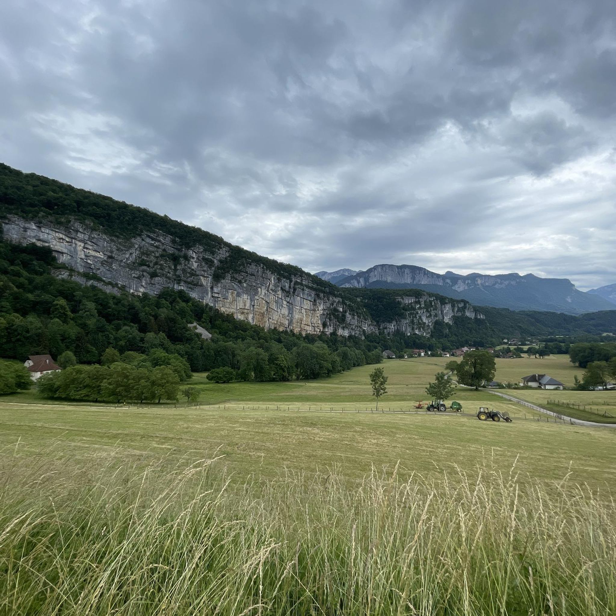
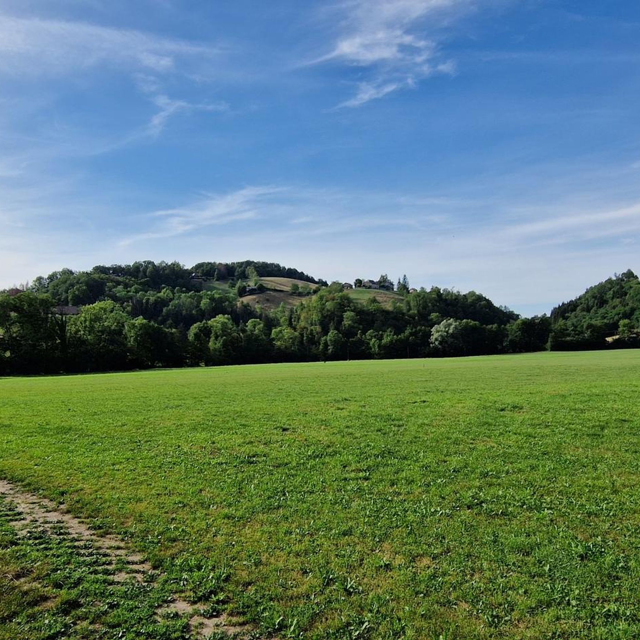
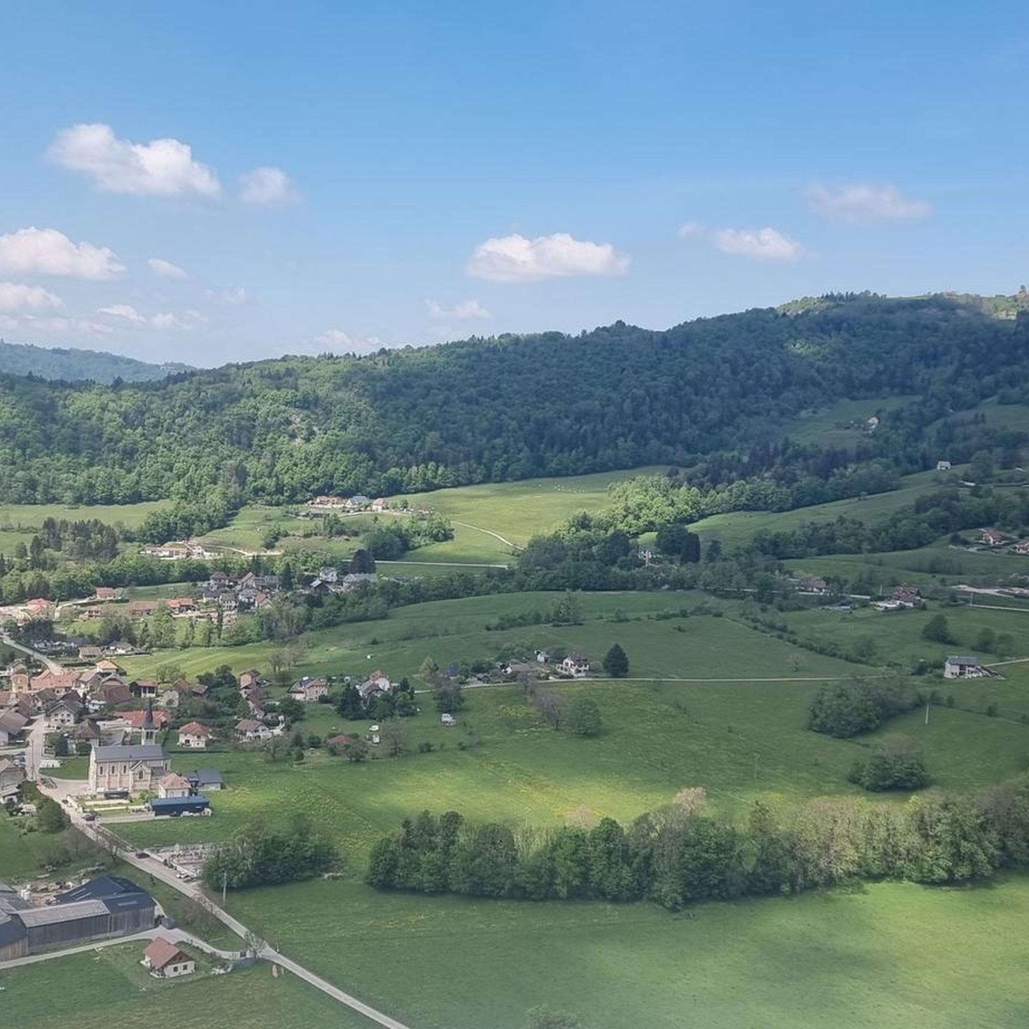
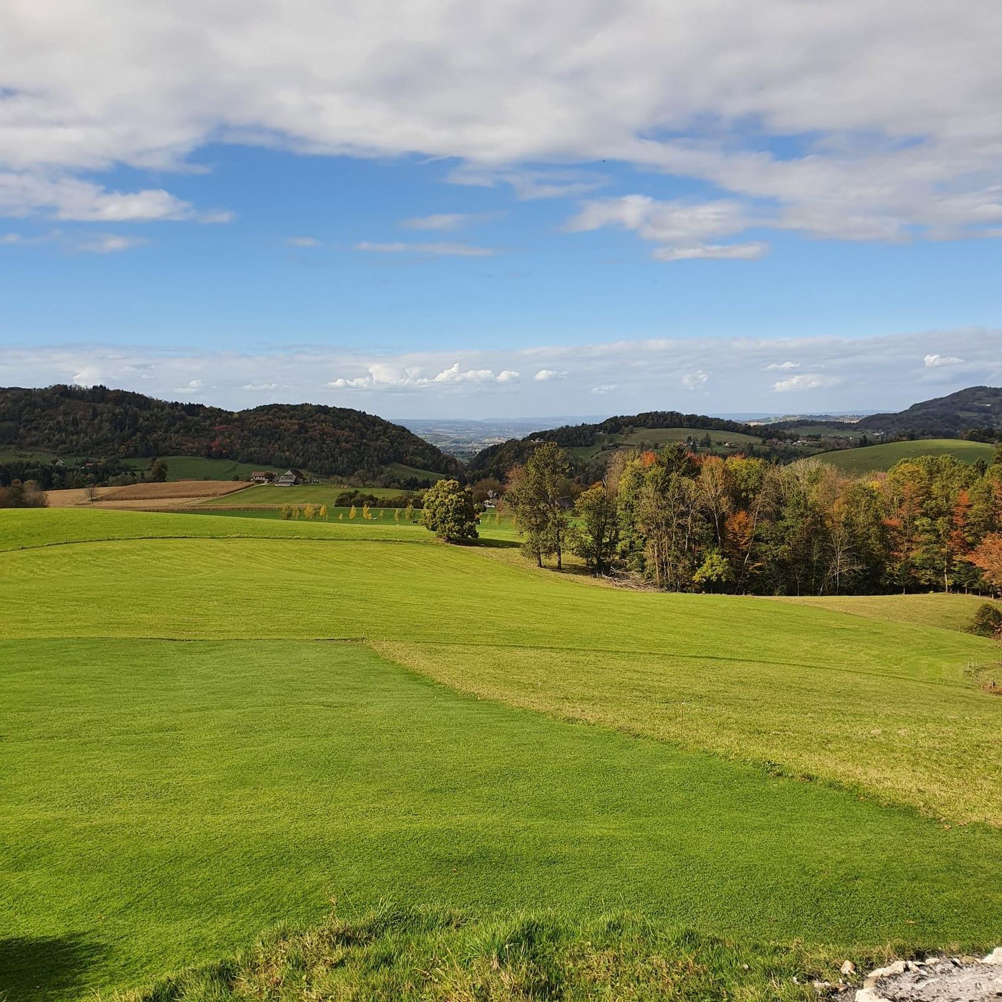
As you travel to the Grenant stream above La Bridoire, you will discover a hidden stream that winds through a lush and tranquil forest in the heart of the Chartreuse mountains. The area around the stream is teeming with wildlife and you will often see birds and other woodland creatures. As you listen to the soothing sound of flowing water, let your mind escape into nature.
2
0
Frequently Asked Questions
How many running routes are available around Saint-Franc?
There are nearly 140 running routes in the Saint-Franc area, offering a wide variety of options for all skill levels. These include 11 easy routes, 90 moderate routes, and 36 difficult routes, ensuring there's a trail for every runner.
Are there any easy jogging routes suitable for beginners in Saint-Franc?
Yes, Saint-Franc offers 11 easy jogging routes perfect for beginners or those looking for a less strenuous run. These paths typically feature more gradual terrain, allowing you to enjoy the scenic countryside without significant elevation challenges.
What kind of landscapes can I expect to see while jogging in Saint-Franc?
Jogging in Saint-Franc offers diverse landscapes, including rolling hills, dense forested paths, and occasional scenic views of Lac d'Aiguebelette. The region's pre-Alpine terrain provides a mix of challenging ascents and more gradual paths, often connecting small villages and historical points of interest.
Are there any circular running routes in Saint-Franc?
Many of the running routes around Saint-Franc are circular, allowing you to start and finish at the same point. For example, the Château de Saint-Béron loop from Saint-Béron - La Bridoire is a popular moderate circular trail, and the Chapelle Béatrice de Savoie loop from La Bauche offers a challenging circular experience.
What do other runners say about the trails in Saint-Franc?
The running routes in Saint-Franc are highly rated by the komoot community, with an average score of 4.2 stars from over 90 reviews. More than 2800 runners have used komoot to explore the varied terrain, often praising the quiet woodlands, scenic views, and the mix of challenging and moderate paths.
Are there any running routes with views of lakes or other natural features?
Absolutely! Several routes offer stunning views, particularly of Lac d'Aiguebelette. The View of Lake Aiguebelette loop from La Bauche is a longer, more challenging option specifically designed to showcase these picturesque water views. You can also find routes near the Grenant Stream and the Grenan and Pissoire waterfalls, which are popular natural attractions in the region.
What kind of attractions or landmarks can I see along the running routes?
Beyond the natural beauty, you can encounter various landmarks. Some routes pass by historical sites like the Château de Saint-Béron. You might also discover mountain passes such as Épine Pass or Col du Banchet, and even the La Cochette Cross, offering elevated viewpoints.
Are there options for challenging trail running in Saint-Franc?
Yes, Saint-Franc is well-suited for challenging trail running, with 36 routes classified as difficult. These often feature significant elevation gains and varied terrain, such as the Running loop from Saint-Béron - La Bridoire or the Running loop from La Bridoire, both offering rewarding experiences for experienced runners.
Is Saint-Franc a good base for exploring larger natural parks while running?
Absolutely. Saint-Franc's location in Savoie provides excellent access to major protected natural areas. The Massif des Bauges Regional Nature Park, with 480 km of trails, and the Chartreuse Regional Nature Park, known for its extensive network of trails, are both nearby. These parks offer vast opportunities for trail running amidst diverse flora and fauna, making Saint-Franc an ideal starting point for exploring the wider region.
Can I find routes that offer panoramic viewpoints?
Yes, the pre-Alpine terrain around Saint-Franc means many routes lead to elevated positions with panoramic views. The La Cochette Cross and Épine Pass are examples of highlights that offer rewarding vistas. Additionally, the Mont Grelle Summit, though a more challenging ascent, provides exceptional views from its viewpoint.
What is the typical duration for a running route in Saint-Franc?
The duration of running routes in Saint-Franc varies widely depending on the distance and difficulty. For instance, a moderate route like the Château de Saint-Béron loop from Saint-Béron - La Bridoire typically takes about 1 hour 8 minutes. More challenging routes, such as the View of Lake Aiguebelette loop from La Bauche, can take over 2 hours to complete.
Are there any specific natural features like waterfalls to see on the running trails?
Yes, the region around Saint-Franc is home to beautiful natural features, including waterfalls. You can find routes that pass by the Grenan waterfall and the Grenant Stream, offering a picturesque backdrop for your run. The Pissoire Waterfall is another notable attraction with varying loop trails nearby.
Most popular routes around Saint-Franc
Most popular attractions around Saint-Franc

Get inspired with the komoot mobile app


Explore more
Browse the best Running Trails & Routes in other regions.
