The best walks and hikes around Saint-Franc
4.4
(1199)
8,058
hikers
209
hikes
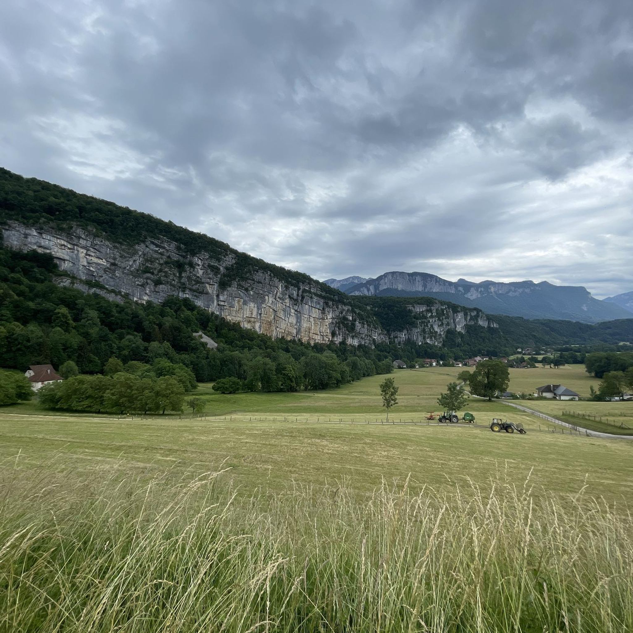
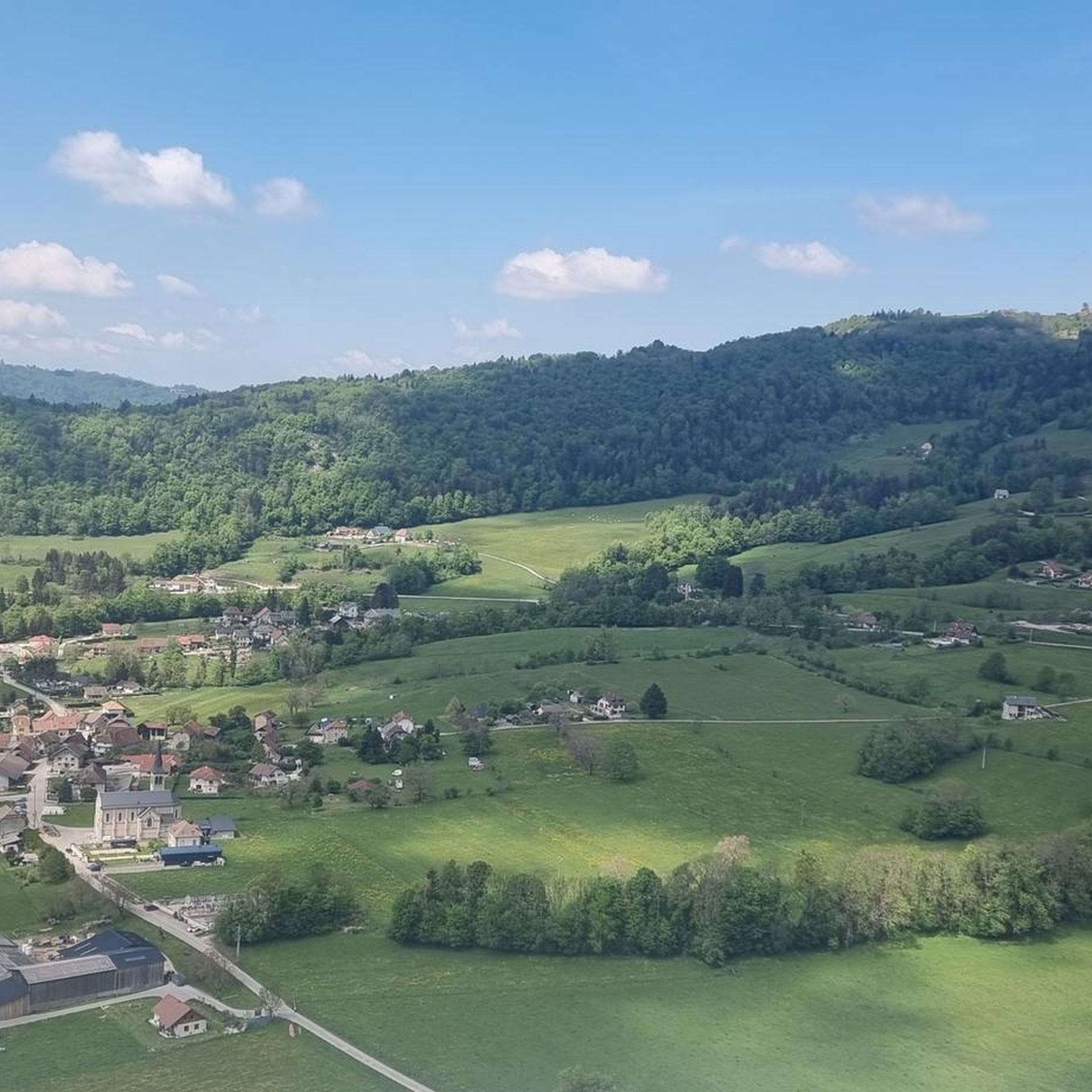
Hiking around Saint-Franc offers diverse landscapes within the Savoie department of the Auvergne-Rhône-Alpes region. The area is characterized by the rugged limestone cliffs and deep forests of the Chartreuse Massif, providing access to mountains, rivers, and scenic passes. Hikers can explore tranquil forests, discover waterfalls, and undertake challenging mountain ascents to panoramic viewpoints. The region's terrain includes varied elevations, from gentle slopes to significant climbs.
Best hiking trails around Saint-Franc
- The most popular hiking route is Mont Grelle Summit (1,425 m) – Mont Grêle Viewpoint loop from Attignat-Oncin, an 8.2 miles (13.2 km) trail that takes 5 hours 26 minutes to complete. This difficult route offers significant elevation gain to a rewarding summit viewpoint.
- Another top favourite among local hikers is Grenan waterfall – Grenant Stream loop from La Bridoire, an easy 1.3 miles (2.1 km) path. This trail winds through a lush forest to the Grenan waterfall, suitable for all fitness levels.
- Local hikers also love the Pissoire Waterfall loop from Attignat-Oncin, a 4.7 miles (7.5 km) trail leading through varied terrain to the Pissoire Waterfall, often completed in about 2 hours 45 minutes.
- Hiking around Saint-Franc is defined by the Chartreuse Massif, numerous waterfalls, and mountain ascents, with options for different ability levels.
- The routes in Saint-Franc are highly rated by the komoot community with an average score of 4.5 stars from over 890 reviews. More than 6,600 hikers have used komoot to explore Saint-Franc's varied terrain.
Last updated: September 28, 2026
4.6
(37)
329
hikers
19.4km
08:20
1,340m
1,340m
Hard hike. Very good fitness required. Sure-footedness, sturdy shoes and alpine experience required.
4.7
(33)
236
hikers
13.3km
05:29
850m
850m
Hard hike. Very good fitness required. Sure-footedness, sturdy shoes and alpine experience required.

4.8
(12)
80
hikers
2.09km
00:43
110m
120m
Easy hike. Great for any fitness level. Easily-accessible paths. Suitable for all skill levels.
4.6
(17)
66
hikers
8.01km
02:45
380m
380m
Moderate hike. Good fitness required. Mostly accessible paths. Sure-footedness required.
4.2
(6)
32
hikers
13.9km
04:33
640m
640m
Moderate hike. Good fitness required. Easily-accessible paths. Suitable for all skill levels.
Get access to more routes and recommendations from other explorers.
Already have an account?
Our route recommendations are based on thousands of hikes, rides, and runs completed by other people on komoot.
Start today with a free account
Your next adventure awaits.
Tips from the Community

Super spot for a snack break, with a breathtaking view of the Chartreuse. Be careful though, there is no water when the gîte is closed. From the viewpoint, on a clear day, you can see Mont Pilat 120 km away!
0
0

Beautiful waterfall to complete with a walk around the Grenan. Nice elevation gain in sight
0
0

Very beautiful view of the 2 lakes 👌
0
0

Free parking, picnic table, information board and toilets
0
0

As you travel to the Grenant stream above La Bridoire, you will discover a hidden stream that winds through a lush and tranquil forest in the heart of the Chartreuse mountains. The area around the stream is teeming with wildlife and you will often see birds and other woodland creatures. As you listen to the soothing sound of flowing water, let your mind escape into nature.
2
0

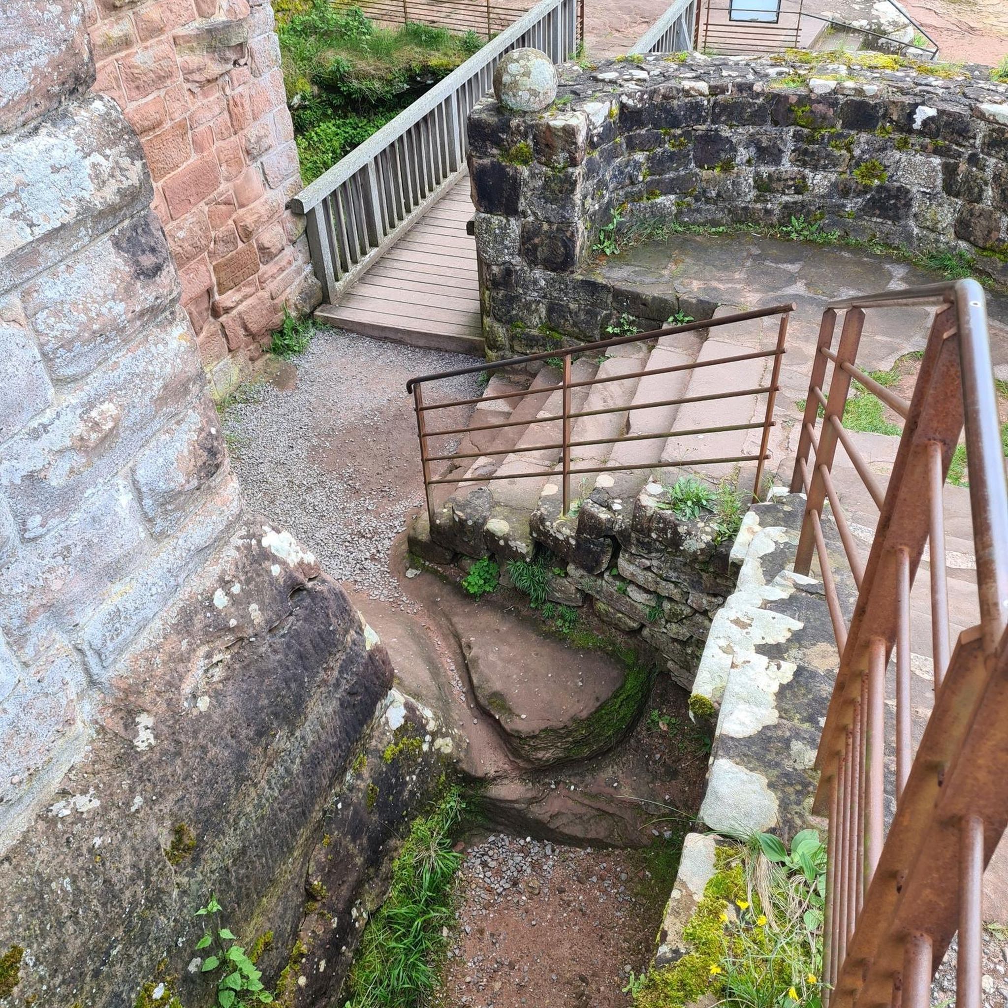
In 1516, the King came to Chambéry for the Holy Shroud at the beginning of his reign. On the way back, the King and his court were caught in a violent storm… The only protection they found was this shelter under a rock for the night.
1
0
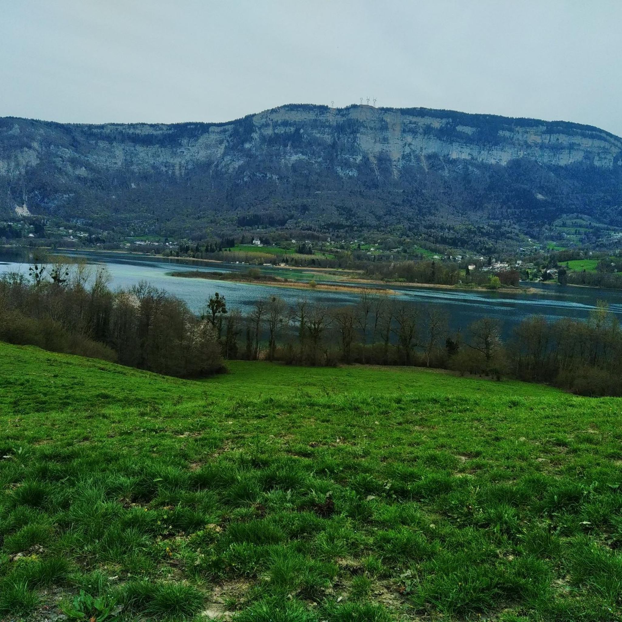
One of the most beautiful views I have ever seen, breathtaking view of Lake Aiguebelette, MAGNIFICENT.
2
0
Large waterfall on the ascent of Mont Grelle or Beauvoir
0
0
Frequently Asked Questions
How many hiking trails are available around Saint-Franc?
There are over 190 hiking trails in the Saint-Franc area, offering a wide variety of experiences. These include 58 easy routes, 112 moderate routes, and 25 difficult routes, catering to all fitness levels.
What is the best time of year to go hiking in Saint-Franc?
The Saint-Franc area, nestled in the Savoie department, is ideal for hiking from spring through autumn. During these seasons, you can enjoy the lush forests, waterfalls, and mountain views. While winter offers cross-country skiing at places like Col de la Cluse, many hiking trails might be covered in snow or require specific winter gear.
Are there any notable natural features or landmarks to see along the trails?
Yes, the region is rich in natural beauty. You can discover stunning features like the Lac d'Aiguebelette, the tranquil Grenant Stream, and the scenic Col de la Cluse. The Chartreuse Massif itself offers rugged limestone cliffs and deep forests.
Can I find waterfalls on hikes near Saint-Franc?
Absolutely! The Saint-Franc area is known for its beautiful waterfalls. You can explore the Grenan waterfall via an easy loop from La Bridoire, or discover the Pissoire Waterfall on a moderate to hard loop trail from Attignat-Oncin, such as the Pissoire Waterfall loop from Attignat-Oncin.
Are there any scenic viewpoints or summits to reach?
Yes, the region offers rewarding panoramic views. The Mont Grêle Viewpoint, accessible via routes like the Mont Grelle Summit loop from Attignat-Oncin, provides significant elevation gain and stunning vistas. Another notable summit is La Cochette Cross, offering expansive views of the northern Chartreuse massif.
What do other hikers say about the trails around Saint-Franc?
The trails around Saint-Franc are highly regarded by the komoot community, with an average rating of 4.5 stars from over 890 reviews. More than 6,600 hikers have explored the varied terrain, often praising the diverse landscapes, from tranquil forests to challenging mountain ascents, and the well-maintained paths.
Are there family-friendly hiking options in Saint-Franc?
Yes, there are several easy routes suitable for families. For instance, the Grenan waterfall – Grenant Stream loop from La Bridoire is an easy 1.3-mile path that winds through a lush forest to a waterfall, suitable for all fitness levels.
Can I bring my dog on the hiking trails near Saint-Franc?
Many trails in the Saint-Franc area and the Chartreuse Massif are dog-friendly, but it's always recommended to keep your dog on a leash, especially in areas with wildlife or livestock. Please respect local signage regarding dog access.
Are there circular hiking routes available?
Yes, many of the hiking routes around Saint-Franc are designed as loops, allowing you to start and end at the same point. Examples include the Mont Grelle Summit loop from La Bauche and the Pissoire Waterfall loop from Attignat-Oncin.
Where can I find parking for hiking trails in Saint-Franc?
Parking is generally available at the starting points of many popular trails and in nearby villages like Attignat-Oncin and La Bridoire. It's advisable to check specific route descriptions for detailed parking information before you set out.
Are there options for long-distance or challenging hikes?
Absolutely. For those seeking a challenge, the Saint-Franc area offers difficult routes with significant elevation gain. The Mont Grelle Summit (1,425 m) loop from Attignat-Oncin is an 8.2-mile difficult trail with substantial ascent, providing a rewarding experience for experienced hikers.
Are there any opportunities for wild swimming near the hiking trails?
Yes, the nearby Lac d'Aiguebelette is an essential spot during the summer months, offering opportunities for cooling off and enjoying the water after a hike. Numerous side roads and trails lead to the water's edge.
Most popular routes around Saint-Franc
Most popular attractions around Saint-Franc

Get inspired with the komoot mobile app


Explore more
Browse the best Hikes in other regions.
