The best road cycling routes around Saint-Franc
4.5
(244)
5,237
riders
120
rides
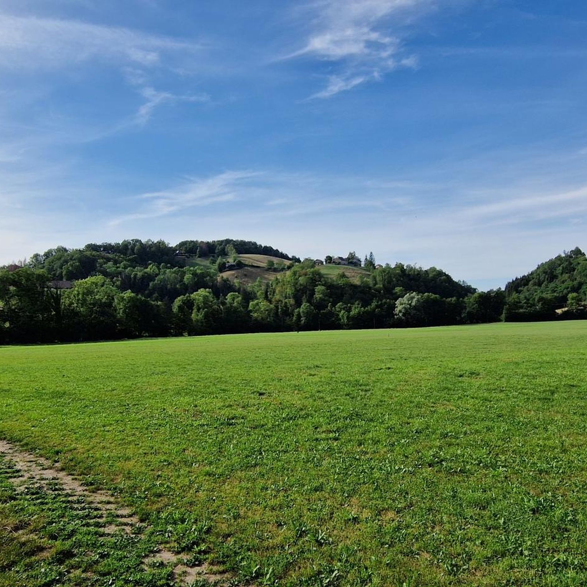
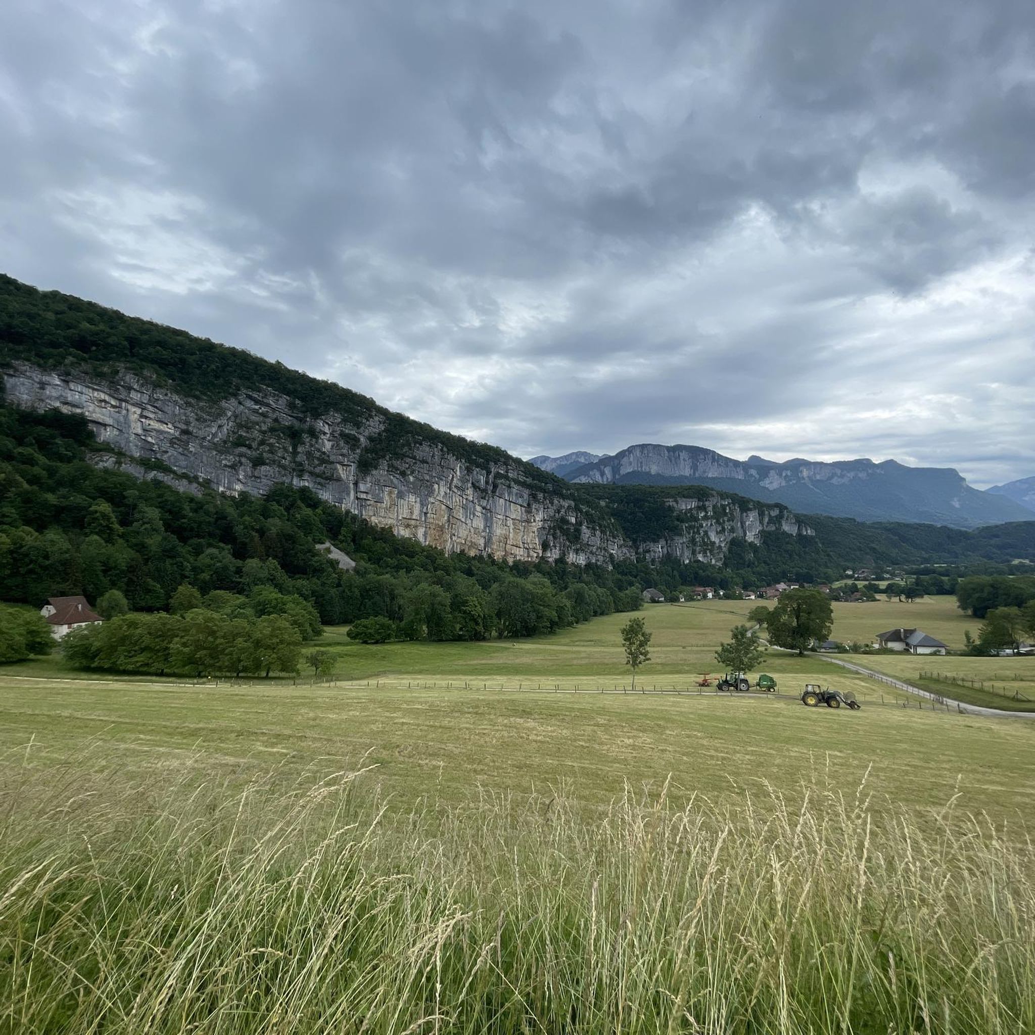
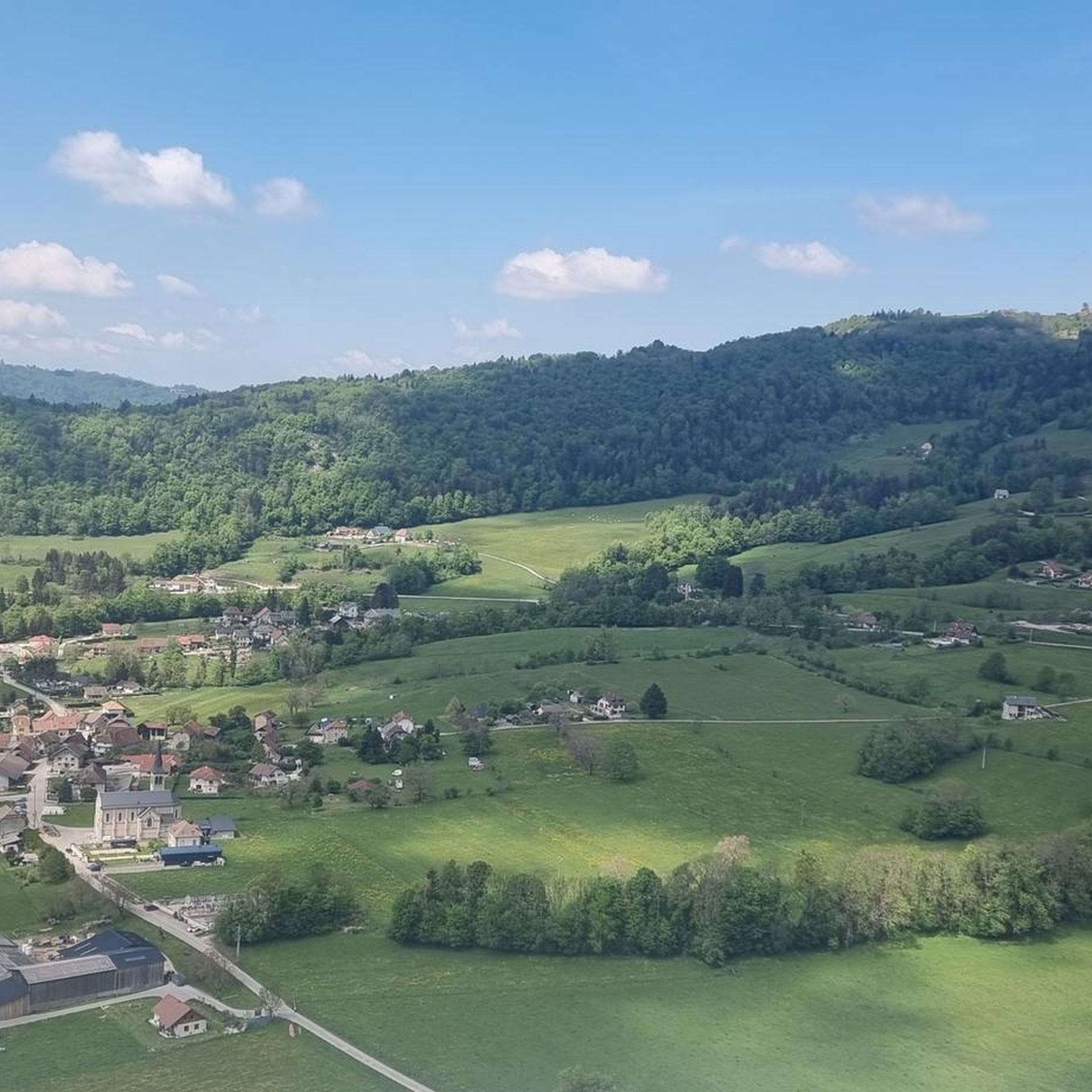
Road cycling routes around Saint-Franc navigate a landscape characterized by significant elevation changes, including numerous mountain passes and deep gorges. The region features a mix of challenging climbs and scenic descents, often alongside rivers and through forested areas. Road cyclists can expect varied terrain, from winding roads through valleys to routes ascending to high points like Col de la Cluse and Granier Pass. The area offers a diverse network of roads suitable for endurance cycling.
Best road cycling routes around…
Last updated: October 5, 2026
21
riders
150km
07:45
2,290m
2,290m
Hard road ride. Very good fitness required. Mostly well-paved surfaces and easy to ride.
16
riders
65.7km
03:35
1,150m
1,150m
Hard road ride. Very good fitness required. Mostly well-paved surfaces and easy to ride.

14
riders
Moderate road ride. Good fitness required. Mostly well-paved surfaces and easy to ride.
11
riders
61.7km
03:00
790m
790m
Moderate road ride. Good fitness required. Mostly well-paved surfaces and easy to ride.
5
riders
Moderate road ride. Good fitness required. Mostly well-paved surfaces and easy to ride.
Get access to more routes and recommendations from other explorers.
Already have an account?
Our route recommendations are based on thousands of hikes, rides, and runs completed by other people on komoot.
Start today with a free account
Your next adventure awaits.
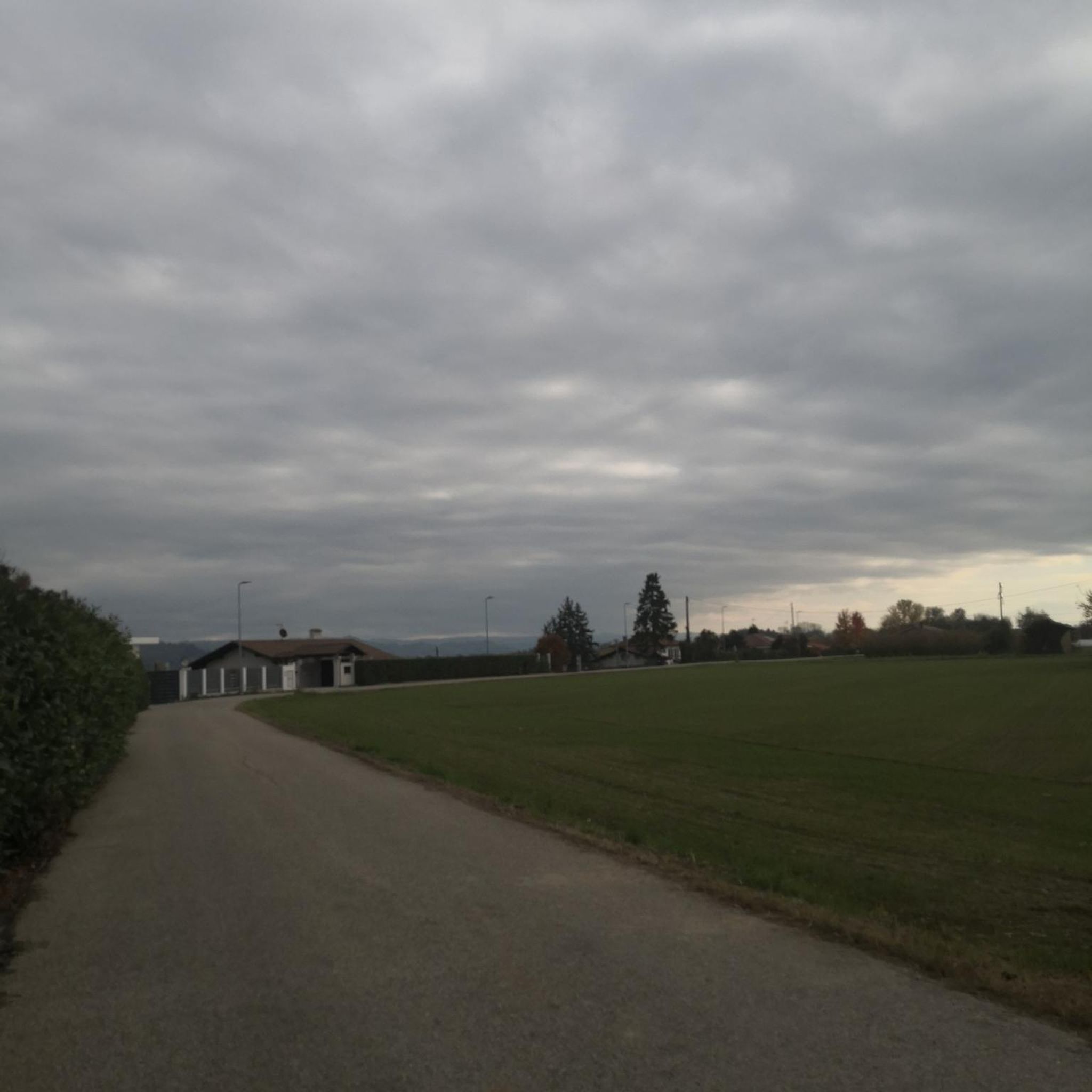
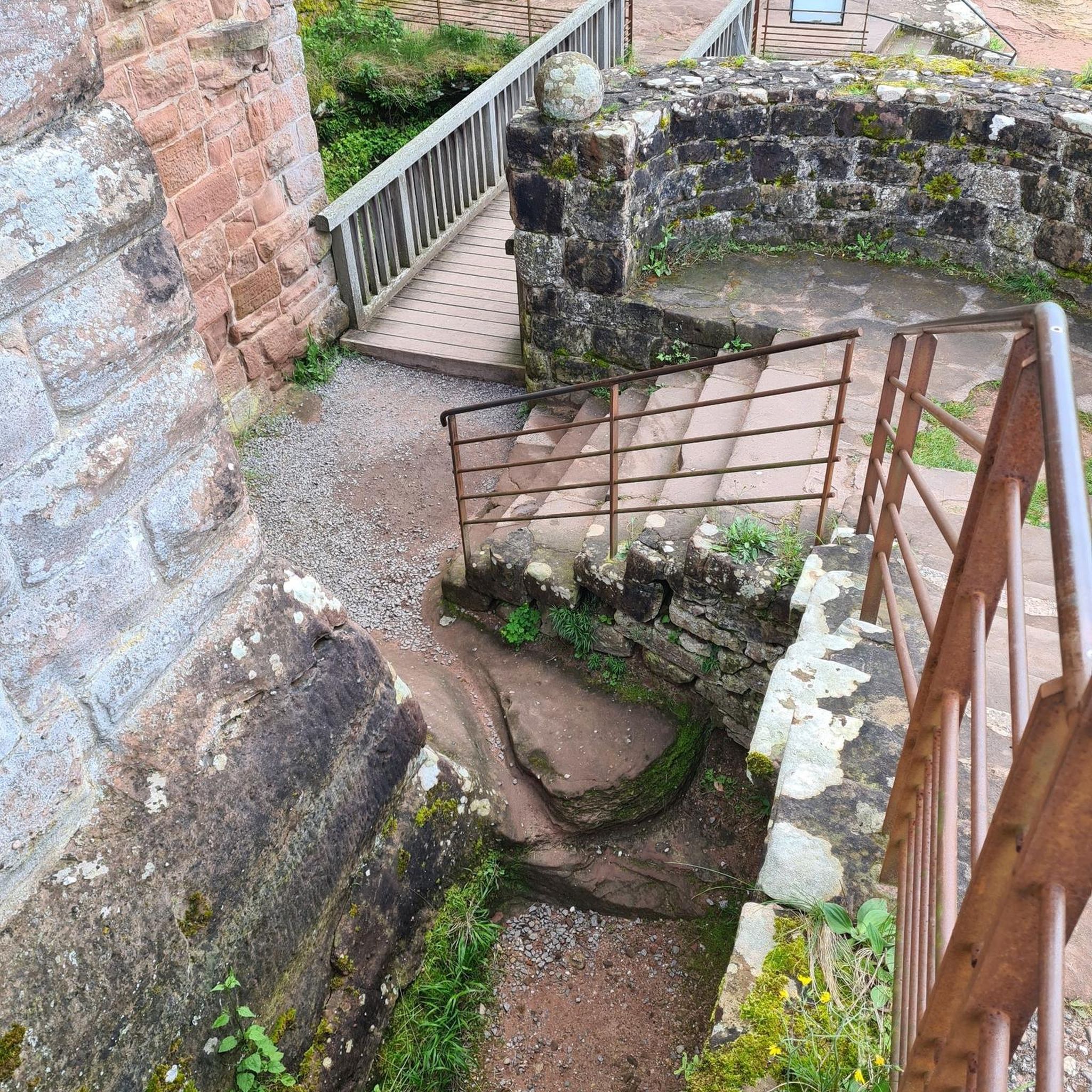
Tips from the Community

The trail runs along the Guiers river to its confluence with the Rhône, on the edge of Savoie.
0
0
For a long time, this bridge marked the political border between the Kingdom of France (Dauphiné side) and the States of Savoy. In 1822, a border stone (stone no. 5) had been set in its center to demarcate the two territories. This historic stone has since been moved to the Place des Tilleuls in the village, where it serves as a fountain.
0
0

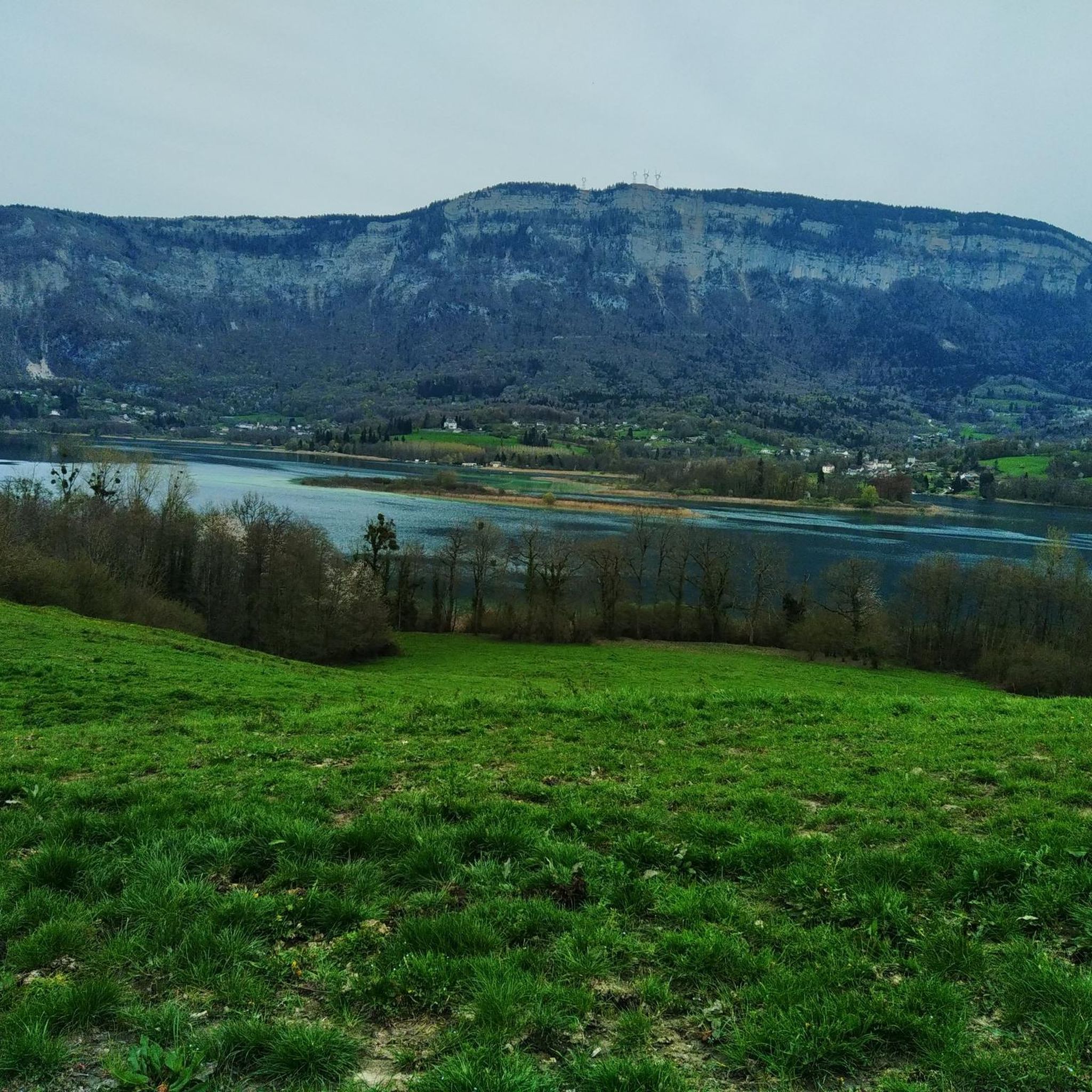
A 14 km greenway allows for a stroll along the eastern shore. The complete circuit of the lake on foot or by mountain bike is a route of about 29 km through the surrounding hills.
0
0
A 14 km greenway allows for walks on the eastern bank. The complete circuit of the lake on foot or by mountain bike is a route of about 29 km through the surrounding hills.
0
0

The 2nd half of the North face has been redone recently, a beautiful and very smooth cycling path. Road quite busy (1 of the entrances to Chartreuse from Grenoble)
0
0
The Chemin de fer de l'Est de Lyon (CFEL) is an old French standard-gauge secondary railway network, partly located in the Rhône department and partly in the Isère department, which connected the Gare de Lyon-Est to Aoste-Saint-Genix.
0
0

Small pass, easy climb from the north, great descent to the south.
1
0
Frequently Asked Questions
How many road cycling routes are available around Saint-Franc?
There are over 120 road cycling routes around Saint-Franc, offering a diverse network for various skill levels. These include 13 easy, 65 moderate, and 49 difficult routes, characterized by significant elevation changes, mountain passes, and scenic valleys.
What makes road cycling in Saint-Franc unique?
Road cycling in Saint-Franc is defined by its dramatic landscape, featuring numerous mountain passes and deep gorges. Cyclists can expect a mix of challenging climbs and scenic descents, often alongside rivers and through forested areas. The region's varied terrain, from winding valley roads to high-altitude passes like Col de la Cluse and Granier Pass, provides a unique endurance cycling experience.
Are there easy road cycling routes suitable for beginners in Saint-Franc?
Yes, Saint-Franc offers 13 easy road cycling routes that are suitable for beginners or those looking for a less strenuous ride. These routes typically feature gentler gradients and shorter distances, allowing for a more relaxed exploration of the area's beauty.
Where can I find challenging road cycling routes with significant climbs in Saint-Franc?
For experienced cyclists seeking a challenge, Saint-Franc has 49 difficult routes with significant elevation gain. Routes like the Gorges du Guiers Mort – Granier Pass loop from Saint-Béron - La Bridoire, which covers nearly 129 km with over 3500 meters of ascent, offer demanding climbs through mountain passes and panoramic views.
Are there any circular road cycling routes around Saint-Franc?
Many of the road cycling routes in Saint-Franc are designed as loops, allowing you to start and finish in the same location. For example, the Col de la Cluse – Gorges du Guiers Vif loop from Saint-Béron - La Bridoire is a popular 67.5 km circular route featuring challenging climbs through gorges and mountain passes.
What kind of scenic viewpoints can I expect along the road cycling routes?
The road cycling routes in Saint-Franc offer numerous scenic viewpoints, particularly from the mountain passes. You'll encounter panoramic vistas over the surrounding mountains, deep gorges, and picturesque valleys. Passes like Épine Pass and Col du Banchet are known for their expansive views.
What do other cyclists say about road cycling in Saint-Franc?
The road cycling routes in Saint-Franc are highly rated by the komoot community, with an average score of 4.5 stars from over 230 reviews. Cyclists often praise the challenging climbs, the stunning natural beauty of the gorges and mountain passes, and the well-maintained roads that make for an excellent cycling experience.
Are there any notable landmarks or attractions to see along the road cycling routes?
Yes, the region around Saint-Franc is rich with natural and historical landmarks. Along your rides, you might encounter sights such as the Notre-Dame du Frou Statue, the historic Old Saint-Martin Bridge, or the intriguing François I's Cave. The routes also pass through various gorges and over significant mountain passes like Col des Mille Martyrs.
What is the best time of year for road cycling in Saint-Franc?
The best time for road cycling in Saint-Franc is typically from late spring to early autumn (May to October). During these months, the weather is generally mild, and the mountain passes are clear of snow, offering optimal conditions for tackling the region's climbs and enjoying the scenic routes.
Are there long-distance road cycling routes available in Saint-Franc?
Saint-Franc offers several long-distance road cycling routes for those looking for extended rides. For instance, the Col des Mille Martyrs – Lake Paladru loop from Saint-Béron - La Bridoire spans over 150 km, providing a full day of challenging cycling through diverse landscapes.
What are the typical road conditions like for cycling in Saint-Franc?
Road conditions in Saint-Franc generally feature well-maintained asphalt surfaces, suitable for road bikes. However, given the mountainous terrain, cyclists should be prepared for winding roads, steep ascents and descents, and potentially varying surface quality in more remote areas or after adverse weather. Always check local conditions before heading out.
Are there any moderate road cycling routes that balance challenge and enjoyment?
Yes, Saint-Franc has 65 moderate road cycling routes that offer a good balance of challenge and scenic enjoyment. These routes often include some climbs but are generally less demanding than the difficult ones. An example is the Cordon Bridge – Saint-Genix-Sur-Guiers loop from Saint-Béron - La Bridoire, a 51.6 km route with manageable elevation gain.
Most popular routes around Saint-Franc
Most popular attractions around Saint-Franc

Get inspired with the komoot mobile app


Explore more
Browse the best Road cycling routes in other regions.
