Top 11 Mountain Passes around Plancherine
Mountain passes around Plancherine are situated in the Savoie department of the Auvergne-Rhône-Alpes region in southeastern France. This commune is characterized by its landscape, extending from plains to the Drison mountain and encompassing the Tamié valley. The Col de Tamié, a significant feature, is located in the Bauges massif at an altitude of 907 meters. It serves as a natural boundary between the Savoie and Albertville valley and the Faverges valley and Lake Annecy.
Best mountain passes around Plancherine
- The…
Last updated: September 29, 2026
Tamié Pass
Highlight • Mountain Pass
Translated by Google •
Tip by

Chérel Pass
Highlight • Mountain Pass
Translated by Google •
Tip by

Sign up now to discover places like this
Get recommendations on the best single tracks, peaks, & plenty of other exciting outdoor places.
Ascent of the Col de la Forclaz de Montmin from Vésonne
Highlight (Segment) • Climb
Translated by Google •
Tip by

Chérel Pass via the Combe d'Ire
Highlight • Mountain Pass
Translated by Google •
Tip by

Golet de Doucy
Highlight • Mountain Pass
Translated by Google •
Tip by
Sign up for free to discover even more mountain passes around Plancherine.
Already have an account?
Start today with a free account
Your next adventure awaits.
Popular around Plancherine
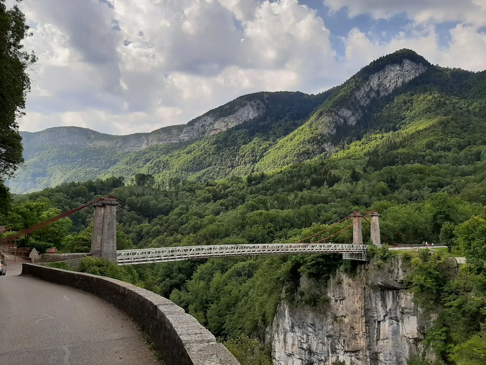
Discovering a little-known massif – cycling France’s Tour des Bauges
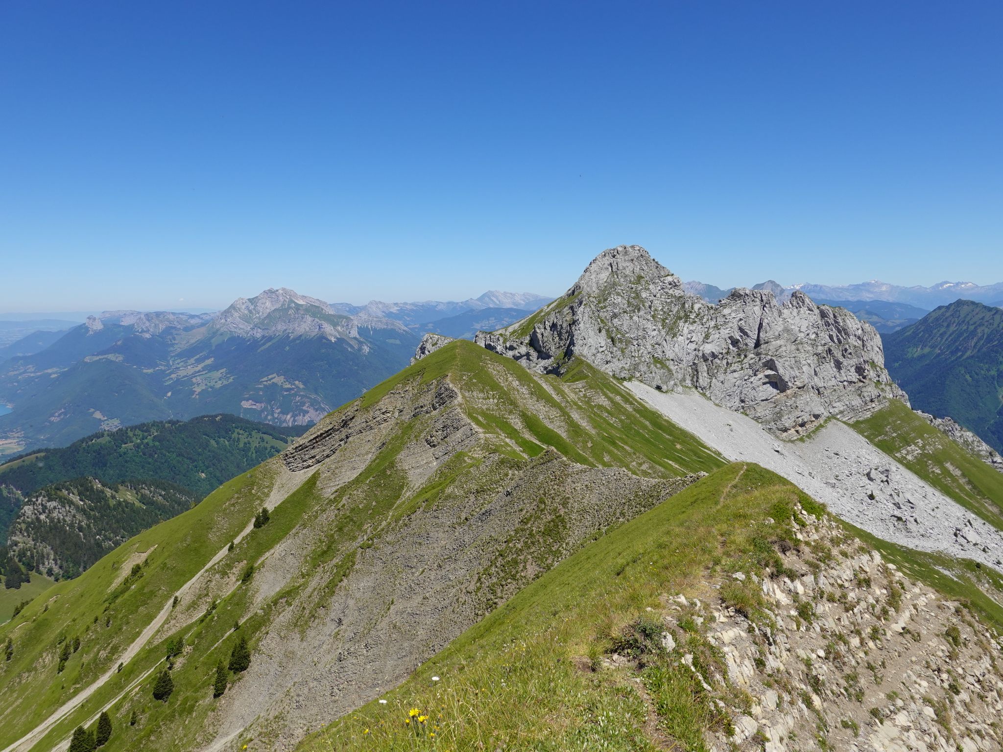
Running the peaks — reach the summits of the Bauges 2000ers
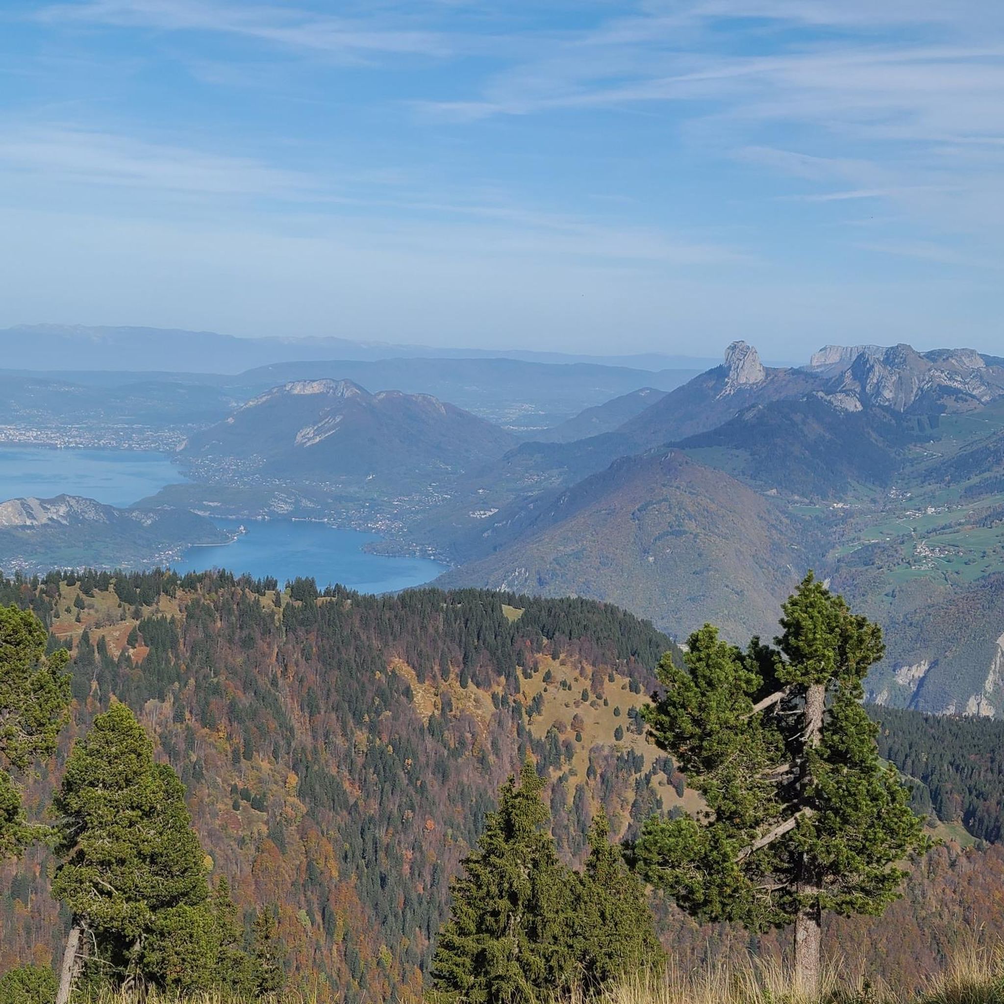
Road Cycling Routes around Plancherine
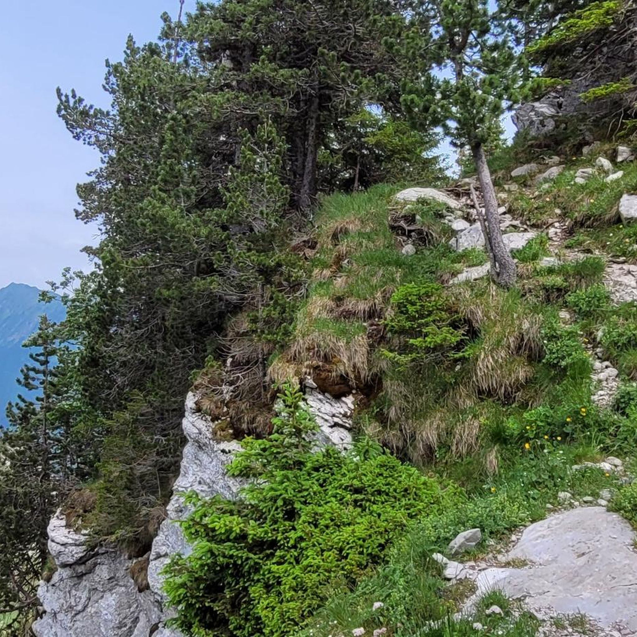
Hiking around Plancherine
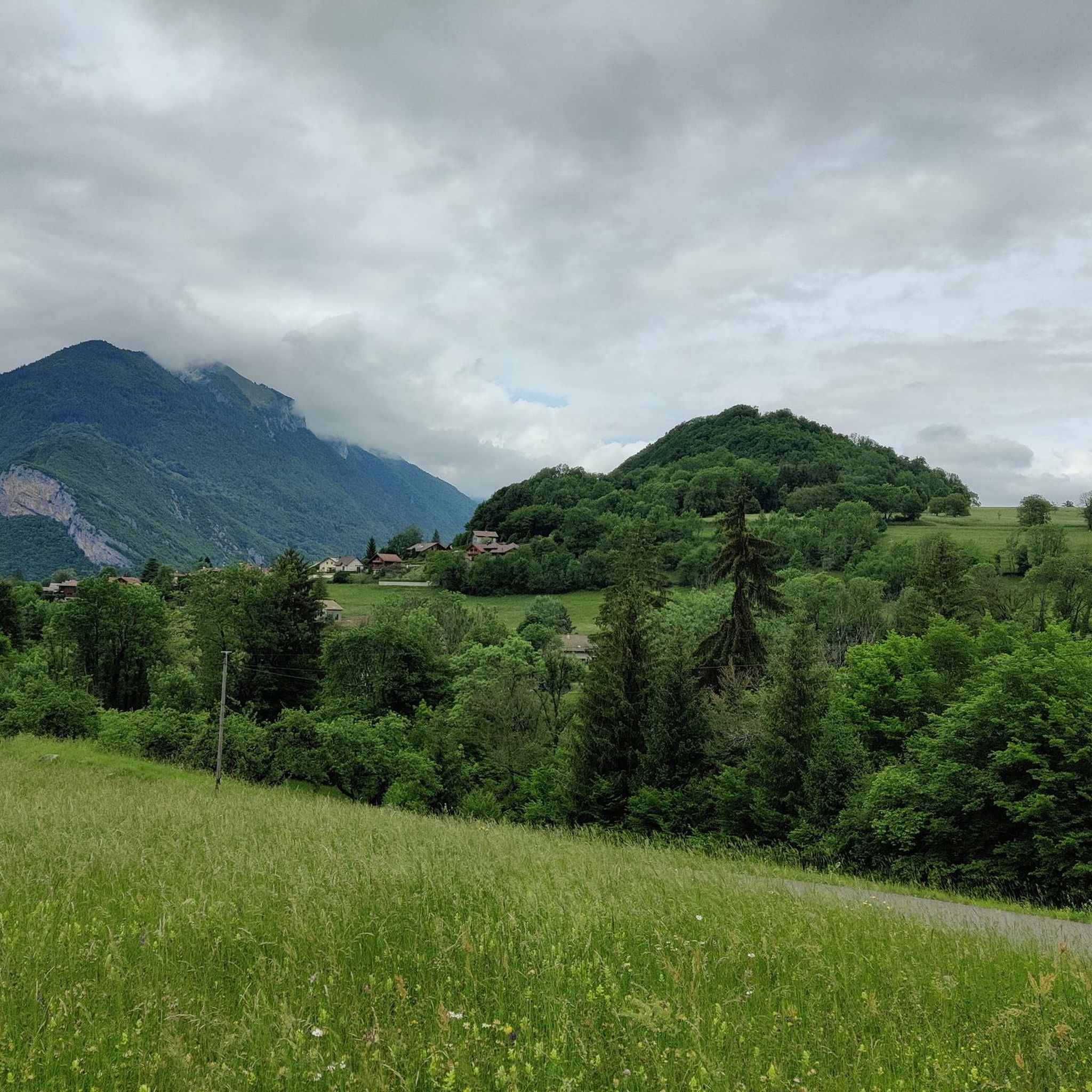
Running Trails around Plancherine
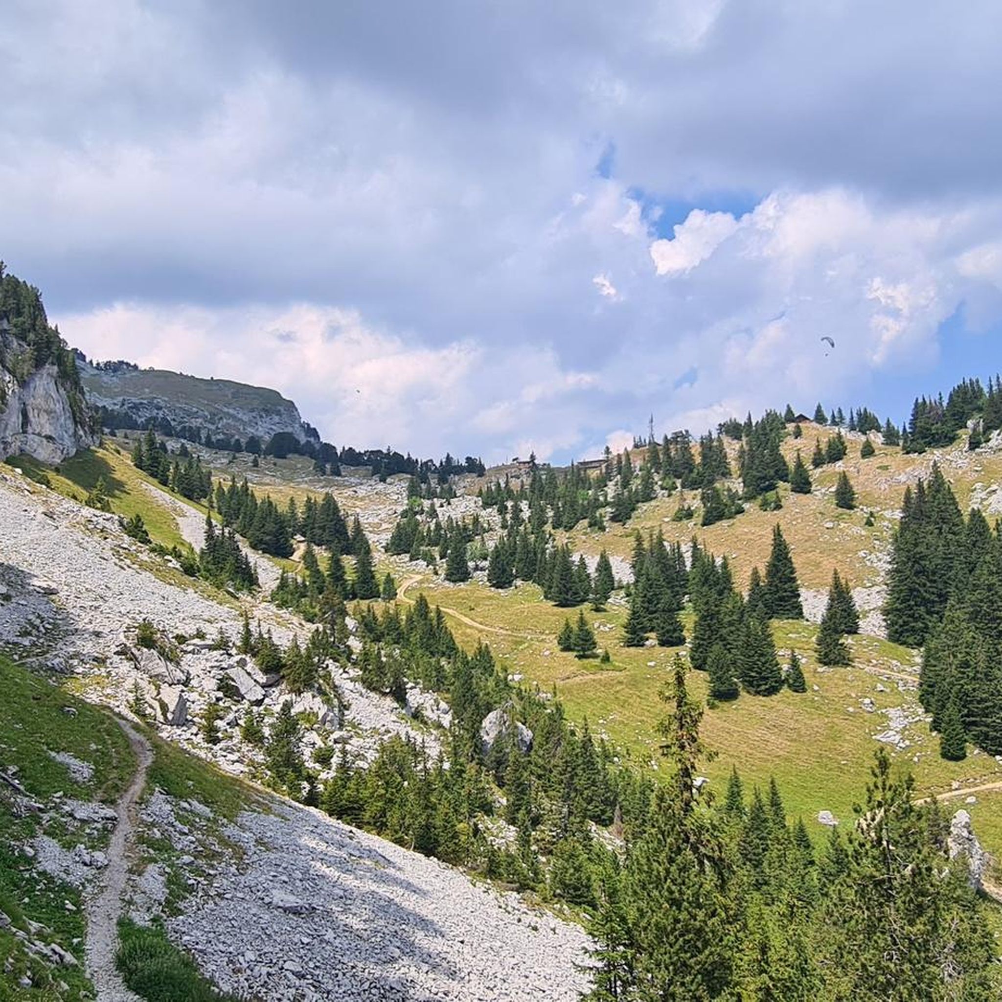
Cycling around Plancherine
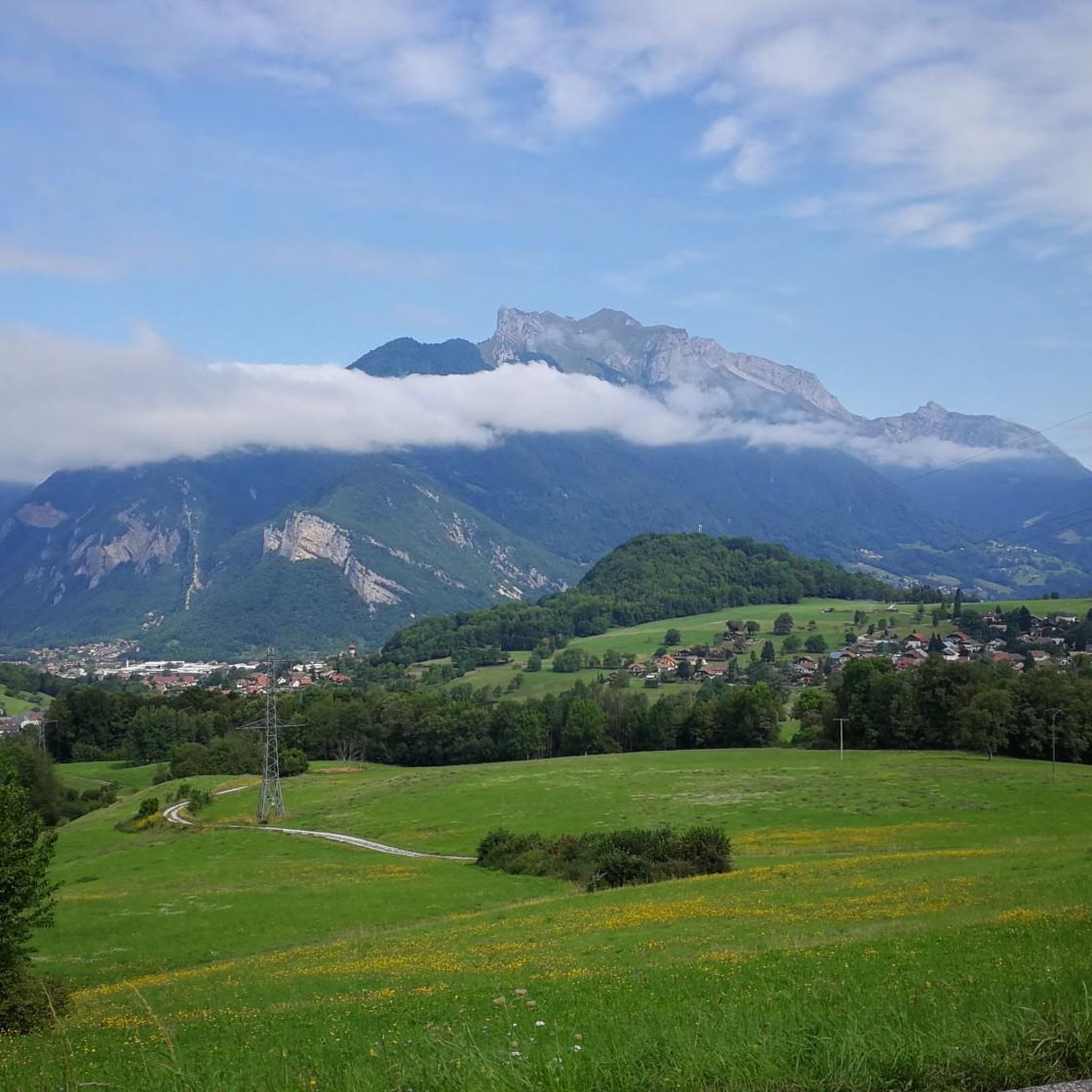
MTB Trails around Plancherine

Mountain Hikes around Plancherine

Gravel biking around Plancherine


Tips from the Community

Nice gentle climb from Faverges. Several options are available at the top of the pass. Buy the famous Tamié cheese at the Abbaye Notre Dame or head to Ugine via Marthod on pleasant small roads, otherwise join Albertville or Chambéry.
0
0

Here is the route for the ascent of the Col de la Forclaz starting from Vesonne
1
0

Long climb or long descent, it depends... Personally, I prefer to climb up the other side and descend through the Ire-Chevaline valley.
0
0
one of the gravel sections from Bauges to Annecy. Passes without any problem!
1
0

Very smooth, very good on mountain bikes and should do the job on gravel.
1
0

beautiful view and water point
0
0

A hill with a lot of traffic, better on roads that run parallel.
0
0
Beautiful mountain pass in the Bauges Massif on its very hard southern side with continuous gradients of 14% and a very broken track, recommended for mountain biking. Its northern side is easier but with gravel you may not be able to go down the south side well.
0
1
Frequently Asked Questions
What are the most popular mountain passes around Plancherine?
The most popular mountain pass is Tamié Pass, located in the Bauges massif at 907 meters. Other highly regarded passes include Ascent of the Col de la Forclaz de Montmin from Vésonne, known for its challenging climb and lake views, and Golet de Doucy, a natural monument at 1,329 meters offering forest viewpoints.
Are there historical sites near the mountain passes around Plancherine?
Yes, the area is rich in history. Near the Col de Tamié, you'll find the Fort de Tamié, a former military structure built in 1872 that now serves as a multi-activity base with an adventure course. The Tamié valley also hosts the Abbey of Our Lady, a significant historical and religious site.
What kind of outdoor activities can I do near these mountain passes?
The region offers a variety of outdoor activities. You can explore numerous running trails, such as the challenging "La Pointe de la Sambuy" or the "Fort de Tamié viewpoint loop." For hiking, options range from moderate trails like "Waterfall of the Massif des Bauges loop" to difficult ones like "La Pointe de la Sambuy." Cycling enthusiasts can enjoy routes like the "Tamié Pass – Collet de Tamié (960 m) loop." Find more details on these activities in the running, hiking, and cycling guides for Plancherine.
When is the best time to visit the mountain passes around Plancherine?
The best time to visit is generally from spring to autumn, when the weather is mild and the passes are fully accessible for hiking, cycling, and other outdoor activities. While some passes might be accessible in winter, conditions can be challenging due to snow and ice, requiring specialized equipment and experience.
Are there family-friendly mountain passes or activities near Plancherine?
Yes, the area around Col de Tamié offers family-friendly options. The Fort de Tamié, located at the pass, features an adventure course and a children's play park, making it an excellent destination for families. Many trails in the Massif des Bauges also cater to various skill levels, including easier walks suitable for families.
What are the difficulty levels of mountain passes around Plancherine?
The mountain passes around Plancherine offer a range of difficulty levels. Passes like Tamié Pass are considered intermediate, with moderate ascents. Others, such as the Ascent of the Col de la Forclaz de Montmin from Vésonne, present more challenging climbs. There are options suitable for beginners looking for scenic walks and experienced adventurers seeking strenuous routes.
How can I access mountain passes around Plancherine by public transport?
While specific bus lines directly to every trailhead might be limited, the Col de Tamié is relatively accessible. You can often find bus services from larger towns like Albertville to Plancherine or nearby villages. From there, local connections or a short walk might be necessary to reach the passes. It's advisable to check local bus schedules for the most up-to-date information.
What natural features and viewpoints can I expect to see?
The mountain passes offer stunning natural beauty. The Col de Tamié provides appealing views of the Bauges massif and separates the Savoie and Albertville valley from the Faverges valley and Lake Annecy. Golet de Doucy offers a viewpoint within a serene forest setting between the Charbon and Julioz mountains. Many passes provide panoramic vistas of the surrounding peaks and valleys.
Are there any circular walks or loop trails near the mountain passes?
Yes, there are several loop trails that incorporate the mountain passes. For instance, you can find the "Col de Tamié loop from Plancherine" for running, or the "Chaurionde Ridge – Chaurionde Peak loop from Abbatiale Notre-Dame de Tamié" for hiking. Cyclists can enjoy the "Tamié Pass – Collet de Tamié (960 m) loop from Mercury." These loops allow you to experience the passes and return to your starting point.
Is parking available at the trailheads for mountain passes?
Parking is generally available at or near the trailheads for the more popular mountain passes and attractions. For example, there are parking options close to the Col de Tamié and the Fort de Tamié. For less frequented passes, parking might be more limited, often requiring roadside parking or designated small lots. Always check local signage for regulations.
Can I find accommodation or places to eat near the mountain passes?
Yes, Plancherine and the surrounding villages offer various options for accommodation, including bed and breakfasts and hotels. You'll also find cafes and pubs in these areas where you can refuel after your adventures. The Abbey of Tamié, near the Col de Tamié, is famous for its cheese, which can be purchased locally.
What is the <a href="https://www.komoot.com/highlight/3770198" target="_blank" rel="noopener">Chérel Pass</a> like?
The Chérel Pass is a beautiful pass at an altitude of 1495 meters, surrounded by imposing peaks. It separates the Arcalod and Trélod mountain chains. It's particularly appreciated for mountain biking or gravel cycling, with an incredible track from La Combe d’Ire, though the descent on the other side can be more technical.
Most popular routes around Plancherine
Most popular attractions around Plancherine

Get inspired with the komoot mobile app


Explore more
See even more epic mountain passes by checking out these guides around Plancherine:
