The best traffic-free bike rides around Plancherine
4.7
(446)
18,451
riders
6
rides
No traffic road cycling routes around Plancherine are situated in the Savoie department, within the Auvergne-Rhône-Alpes region of France. This area is characterized by mountainous terrain, significant elevation changes, and picturesque natural features, including the Massif des Bauges Regional Natural Park. Cyclists can expect routes defined by limestone formations, forests, river valleys, and numerous mountain passes (cols), offering varied and engaging riding conditions. The region provides a diverse landscape for road cycling, with routes that often feature stunning Alpine views.
…Last updated: May 22, 2026
3.5
(2)
69
riders
28.0km
01:58
960m
960m
Hard road ride. Very good fitness required. Mostly well-paved surfaces and easy to ride.
5.0
(2)
41
riders
40.9km
02:38
1,160m
1,160m
Hard road ride. Very good fitness required. Mostly well-paved surfaces and easy to ride.

Sign up for free
5.0
(2)
44
riders
21.7km
01:10
410m
410m
Moderate road ride. Good fitness required. Mostly well-paved surfaces and easy to ride.
5.0
(1)
33
riders
26.2km
01:44
850m
840m
Moderate road ride. Good fitness required. Mostly well-paved surfaces and easy to ride.
5.0
(1)
16
riders
23.5km
01:22
560m
560m
Moderate road ride. Good fitness required. Mostly well-paved surfaces and easy to ride.
Our route recommendations are based on thousands of hikes, rides, and runs completed by other people on komoot.
Start today with a free account
Your next adventure awaits.
Login or Signup
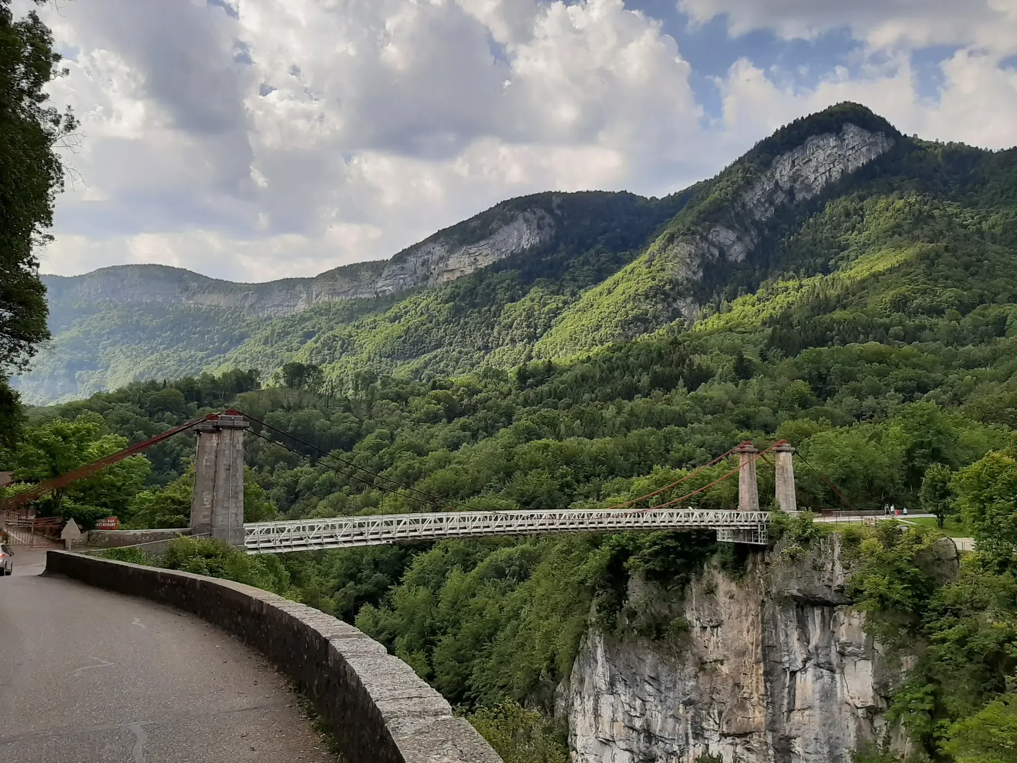
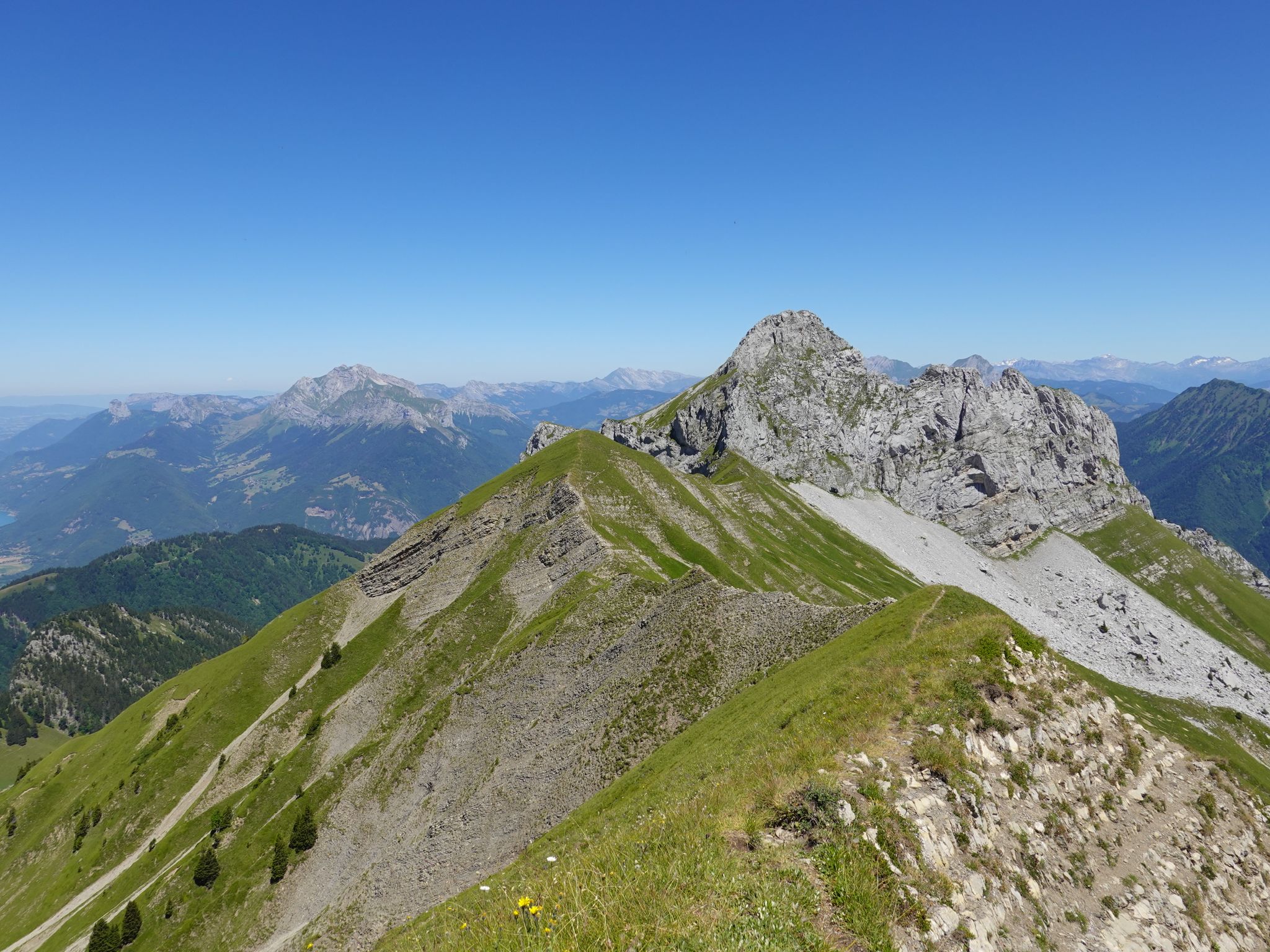




Tips from the Community

To the cycle tourist who invented his own pass.
0
0


The descent to Queige is gravelly+++, a really not great surface but compensated by a superb view of Mont Blanc
1
0

Pass on a quiet road, very few cars. Not a great surface. The average slope is 7.6% with sections at 13%. No clear view at the top but a small stele dedicated to the creator of this pass. To do if you want to do some elevation gain.
0
0

The Forclaz road climbs to the eponymous pass. The climb is regular and reveals beautiful views of the Ugine valley. From Isle, the climb is 6.8 kilometers long, for an elevation gain of 481 meters with an average slope of 7.1%.
0
0

This mid-mountain pass is located at an altitude of 947 meters in the Aravis massif. Its ascent from Marlens involves fairly steep gradients, while its approach from Serraval is more gentle.
3
1
This locality, born from the merger of Faverges and Seythenex, is located between Lake Annecy and the Bauges massif. Nestled in the valley of the same name, it is endowed with a historical heritage, museums, sporting activities and varied landscapes.
0
0

Although strictly speaking it's not a true mountain pass, the winding roads leading to the highest point offer fantastic, tree-lined driving conditions.
0
0
Frequently Asked Questions
How many no-traffic road cycling routes are available around Plancherine?
There are 6 dedicated no-traffic road cycling routes around Plancherine featured in this guide. These routes range from moderate to difficult, offering varied experiences for cyclists looking to avoid heavy vehicle traffic.
What is the best time of year for no-traffic road cycling in Plancherine?
The best time for road cycling in Plancherine is typically from spring through autumn. During these seasons, the weather is generally mild, and the mountain passes are clear of snow, offering optimal conditions to enjoy the scenic routes through the Massif des Bauges Regional Natural Park. While some lower elevation routes might be accessible, winter cycling can be challenging due to snow and colder temperatures, especially on higher passes.
Are there any family-friendly no-traffic road cycling routes in Plancherine?
While many routes in the Plancherine area feature significant elevation changes, some sections or shorter loops can be adapted for families. For routes specifically designed to be traffic-free, it's important to check the difficulty. This guide features 3 moderate routes, which might be suitable for families with some cycling experience. Always review the route details for elevation and distance to ensure it matches your family's ability.
What kind of natural features and landmarks can I expect to see on these routes?
The no-traffic routes around Plancherine offer stunning views of the Massif des Bauges, characterized by limestone formations, forests, and river valleys. You'll encounter picturesque Alpine scenery and orchards. Notable landmarks include historic sites like the Cistercian Abbey of Tamié and the Fort de Tamié, which can be incorporated into your rides. You can also explore various mountain passes such as the Tamié Pass and Chérel Pass, offering breathtaking vistas.
Are there challenging no-traffic road cycling routes for experienced cyclists?
Yes, Plancherine offers several challenging no-traffic road cycling routes. This guide includes 3 difficult routes with significant elevation gains. For example, the Conflans – Cyclists' Pass loop from Albertville covers nearly 28 km with over 960 meters of elevation gain, providing a demanding yet rewarding experience. Another challenging option is the Route du col de la Forclaz – Val d'Arly cycle route loop from Albertville, which spans over 40 km with more than 1160 meters of climbing.
Where can I park my car when starting a no-traffic road cycling route?
Parking options vary depending on your chosen starting point. For routes beginning in or near Albertville, such as the Conflans – Cyclists' Pass loop, you'll find public parking available in the town. For routes starting in smaller villages like Gilly-sur-Isère or Mercury, local parking areas are typically available. Always check specific route details or local signage for the most convenient parking spots.
Can I access these no-traffic routes using public transport?
Plancherine is located near Albertville, which is a regional transport hub. While direct public transport to every specific trailhead might be limited, you can often reach Albertville by train or bus. From Albertville, some starting points for routes, like those in Gilly-sur-Isère, may be accessible via local bus services, or you might consider cycling a short distance to the official start of a no-traffic route. It's advisable to check local bus schedules for the Savoie department for the most up-to-date information.
Are there any circular no-traffic road cycling routes available?
Yes, many of the no-traffic road cycling routes around Plancherine are designed as circular loops, allowing you to start and end at the same point. For instance, the Col du Vorger loop from Mercury is a moderate circular route covering over 26 km. These loops are ideal for exploring the region without needing to arrange return transport.
What do other cyclists enjoy most about road cycling in Plancherine?
The no-traffic road cycling routes around Plancherine are highly rated by the komoot community, with an average score of 4.6 stars. Reviewers often praise the stunning Alpine views, the challenging yet rewarding climbs of the mountain passes, and the peaceful, car-free sections that allow for an immersive cycling experience within the beautiful Massif des Bauges Regional Natural Park.
Are there places to stop for refreshments or accommodation along the routes?
Yes, while the routes focus on no-traffic sections, they often pass through or near small villages and towns where you can find cafes, bakeries, and restaurants. Albertville, a larger town nearby, offers a wider range of dining and accommodation options. Additionally, some routes might lead you close to local establishments like the 'La Halte des Bauges Restaurant' mentioned in regional research, providing opportunities for a break and local cuisine. Always plan your stops, especially on longer routes.
What makes these routes 'no traffic'?
The 'no traffic' designation for these road cycling routes means they primarily utilize quiet country roads, designated cycle paths, or sections of roads where vehicle access is restricted or very limited. This ensures a more peaceful and safer cycling experience, allowing you to fully enjoy the natural beauty of the Plancherine region without the constant presence of cars.
Is there a moderate route that offers good views without being overly strenuous?
Certainly. The Col du Vorger – Val d'Arly cycle route loop from Gilly-sur-Isère is a moderate option, spanning just over 21 km with around 400 meters of elevation gain. This route provides a balanced challenge with rewarding views, making it suitable for cyclists looking for a scenic ride without the intensity of the more difficult mountain passes.
Most popular routes around Plancherine
Most popular attractions around Plancherine

Get inspired with the komoot mobile app


Explore more
Browse the best Road cycling routes in other regions.
