The best running trails around Err
4.4
(88)
7,985
runners
15
runs
Jogging routes around Err location are situated in the Pyrénées-Orientales department of France, characterized by mountainous terrain and proximity to ski resorts. The region offers varied landscapes, including natural parks and trails that transition from gentler paths to more demanding mountain routes. This diverse environment provides opportunities for running with significant elevation changes and scenic vistas, particularly during the off-season for winter sports.
Best jogging routes around Err
- The most popular jogging route is Coma Morera Peak – Coma Morera Summit loop from Err, a 40.5 miles (65.3 km) trail that takes 9 hours 49 minutes to complete. This difficult route offers extensive mountain views.
- Another top favourite among local runners is Err – Refuge Camí de Núria loop from Err, a difficult 8.0 miles (12.9 km) path. This route features significant elevation gain through mountainous terrain.
- Local runners also love the Vedrinyans – Err loop from Err, a 6.0 miles (9.7 km) trail leading through varied landscapes, often completed in about 1 hour 6 minutes.
- Jogging around Err is defined by mountainous terrain, natural parks, and diverse trails. The network offers options for different ability levels, from moderate paths to challenging mountain ascents.
- The routes in Err are highly rated by the komoot community with an average score of 4.4 stars from over 80 reviews. More than 8000 runners have used komoot to explore Err's varied terrain.
Last updated: October 2, 2026
24
runners
64.3km
09:46
3,190m
3,190m
Hard run. Very good fitness required. Sure-footedness, sturdy shoes and alpine experience required.
13
runners
9.70km
01:06
190m
190m
Moderate run. Good fitness required. Mostly paved surfaces. Suitable for all skill levels.

13
runners
8.32km
00:57
170m
170m
Moderate run. Good fitness required. Mostly paved surfaces. Suitable for all skill levels.
4.3
(3)
5
runners
5.21km
00:37
100m
100m
Moderate run. Good fitness required. Mostly paved surfaces. Suitable for all skill levels.
5.0
(2)
9
runners
17.2km
02:30
750m
750m
Hard run. Very good fitness required. Mostly paved surfaces. Suitable for all skill levels.
Get access to more routes and recommendations from other explorers.
Already have an account?
Our route recommendations are based on thousands of hikes, rides, and runs completed by other people on komoot.
Start today with a free account
Your next adventure awaits.


Tips from the Community

With a gravel bike it's brutal!!! The views up there are incredible 😍
0
0

Charming town. Natural hot springs.
0
0

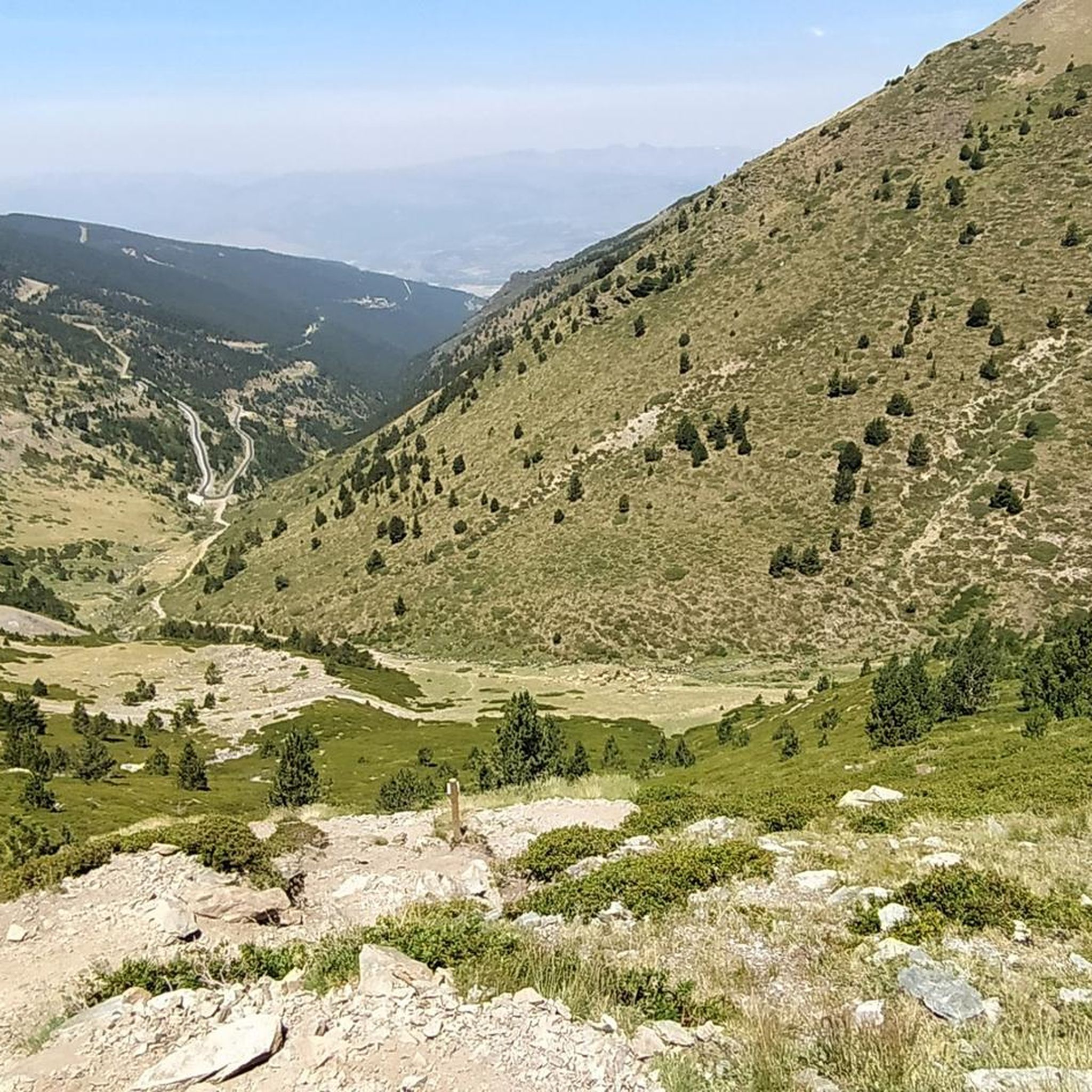
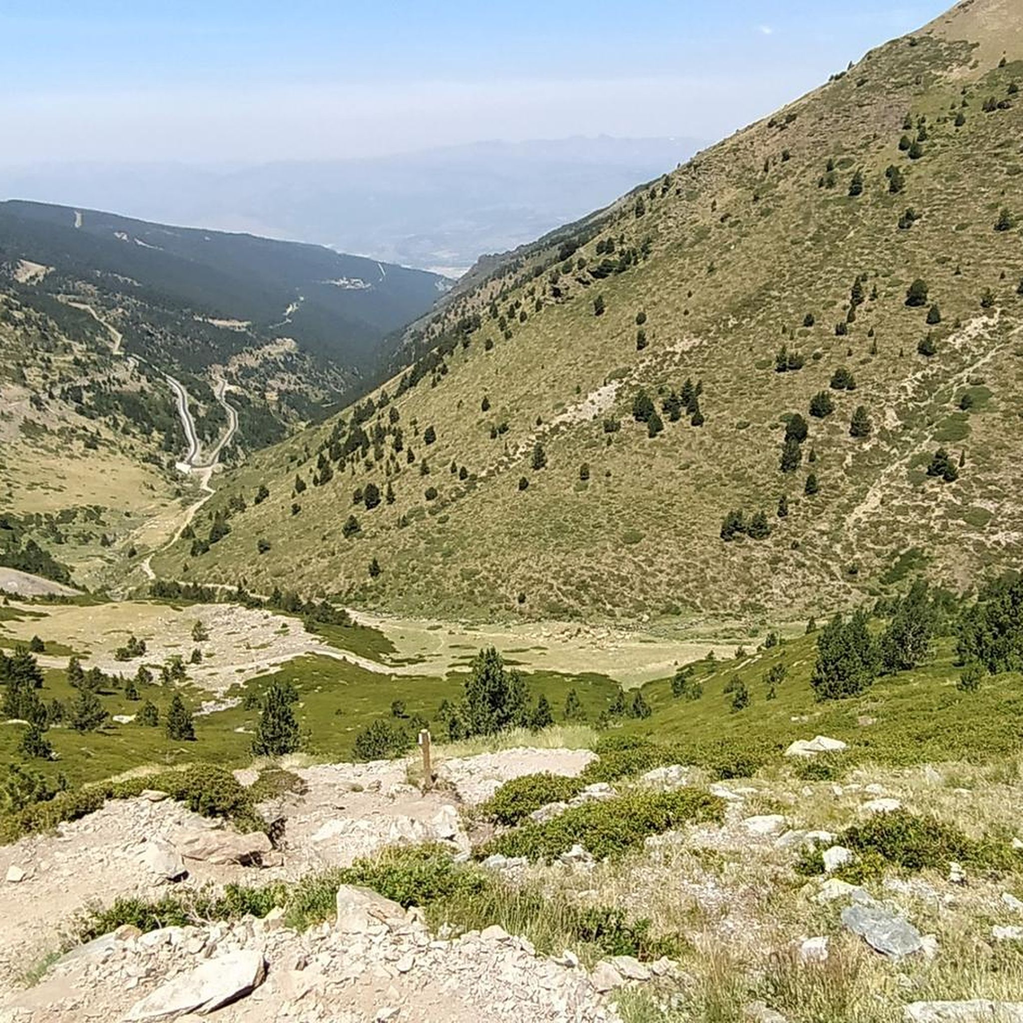
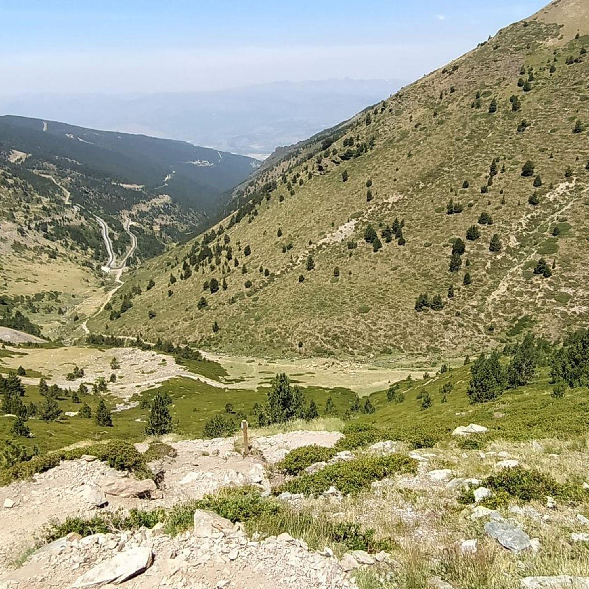
The puig de Dòrria, at 2547 meters above sea level, offers a magnificent panorama of Cerdanya.
1
0


Recommended gravel bike. Refrain from going with carbon wheels. Bad asphalt
4
0

Steepest in the bottom. And you are covered by forest most of the climb. Gives a bit of shade from the sun.
1
1

Spectacular! A demanding and long climb, with asphalt in poor condition, but the views at the top are brutal. Ideal in gravel
0
1

Very beautiful point of view from the top of this magnificent ski resort Le Puigmal which unfortunately closed.
2
0
Frequently Asked Questions
How many running routes are available around Err?
There are 16 diverse running routes around Err, catering to various skill levels. These include 1 easy route, 8 moderate routes, and 7 difficult routes, offering a wide range of experiences from gentle paths to challenging mountain ascents.
What kind of terrain can I expect on the running trails near Err?
The running trails around Err are characterized by mountainous terrain, natural parks, and varied landscapes. You'll find everything from gentler paths within parks to more demanding mountain routes with significant elevation changes and stunning vistas, especially during the off-season for winter sports.
Where is Err located?
Err is a commune located in the Pyrénées-Orientales department of France. Its position in the Pyrenees offers a rich environment for outdoor activities, including running, with proximity to ski resorts and natural features.
Are there any easy running routes for beginners in Err?
Yes, there is at least one easy running route suitable for beginners. For a gentle introduction to running in the area, consider the Running loop from Err, which is 3.4 km long and features minimal elevation gain.
Are there any circular running routes in Err?
Many of the running routes in Err are designed as loops, offering a convenient way to explore the area without retracing your steps. Examples include the Vedrinyans – Err loop from Err and the Vedrinyans loop from Err.
What are some points of interest or natural attractions I might see while running in Err?
While running in Err, you can encounter several natural attractions. Notable highlights include the majestic Puigmal d'Er Summit, the scenic Núria Viewpoint, and the beautiful Salt del Grill waterfall. These offer stunning natural beauty along your run.
Are there options for longer, more challenging runs in the Err area?
Absolutely. Err offers several difficult routes for experienced runners seeking a challenge. The longest and most demanding is the Coma Morera Peak – Coma Morera Summit loop from Err, a 65.3 km trail with extensive mountain views and significant elevation gain. Another challenging option is the Err – Refuge Camí de Núria loop from Err, spanning 12.9 km through mountainous terrain.
What do other runners enjoy most about jogging in Err?
The running routes in Err are highly rated by the komoot community, with an average score of 4.4 stars from over 80 reviews. Runners often praise the diverse terrain, from moderate paths to challenging mountain ascents, and the stunning scenic vistas offered by the mountainous landscape.
Is Err a good destination for winter jogging?
While the region is known for its ski resorts, the off-season offers excellent opportunities for jogging. For winter running, it's crucial to check local conditions, as higher elevation trails may be snow-covered or icy. Lower elevation paths might still be accessible, but proper winter running gear is essential.
Are the running trails around Err suitable for families?
The suitability for families depends on the specific trail and the family's experience level. While some routes are challenging, easier and moderate trails exist that could be suitable for active families. It's best to check the difficulty rating and distance of individual routes, such as the Running loop from Err, to find one that matches your family's capabilities.
Can I bring my dog on the running trails in Err?
Generally, many outdoor trails in natural areas are dog-friendly, especially if dogs are kept on a leash. However, specific regulations can vary by park or protected area. It's always recommended to check local signage or park rules for each specific trail to ensure dogs are permitted and to understand any requirements, such as leash laws.
Are there any trails with less crowded options for running in Err?
While popular routes attract more visitors, Err's extensive network of 16 routes means there are often less crowded options, especially on weekdays or during off-peak hours. Exploring some of the moderate or difficult trails might also lead to a more solitary experience compared to the most popular paths.
Most popular attractions around Err

Get inspired with the komoot mobile app


Explore more
Browse the best Running Trails & Routes in other regions.
