The best cycling routes around Err
4.2
(155)
6,664
riders
252
rides
Touring cycling around Err, located in the French Pyrenees, features routes that navigate through mountain valleys and across elevated terrain. The region is characterized by its varied topography, including significant elevation changes and views of the surrounding peaks. Routes often connect small villages and historical sites, offering a blend of cultural and natural landscapes. This area provides a range of cycling experiences, from moderate climbs to more challenging ascents.
Best touring cycling routes around Err
- The most popular touring cycling…
Last updated: October 29, 2026
5.0
(3)
49
riders
31.4km
02:14
670m
670m
Hard bike ride. Very good fitness required. Mostly paved surfaces.
37
riders
139km
10:10
3,000m
3,000m
Hard bike ride. Very good fitness required. Mostly paved surfaces.

5.0
(1)
29
riders
30.9km
02:15
460m
460m
Hard bike ride. Very good fitness required. You may need to push your bike for some segments of this route.
28
riders
22.3km
02:15
650m
650m
Hard bike ride. Very good fitness required. You may need to push your bike for some segments of this route.
24
riders
28.8km
03:00
930m
930m
Hard bike ride. Very good fitness required. You may need to push your bike for some segments of this route.
Get access to more routes and recommendations from other explorers.
Already have an account?
Our route recommendations are based on thousands of hikes, rides, and runs completed by other people on komoot.
Start today with a free account
Your next adventure awaits.
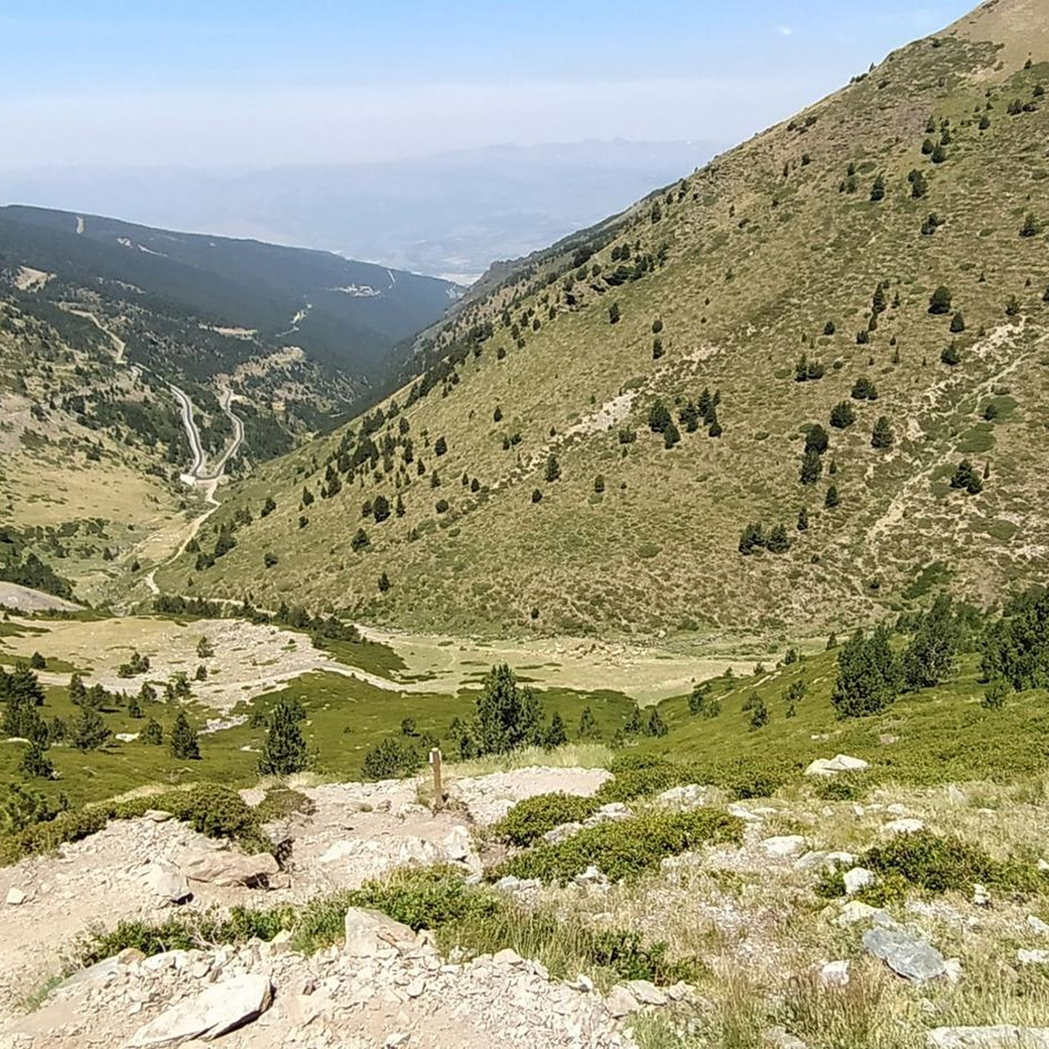


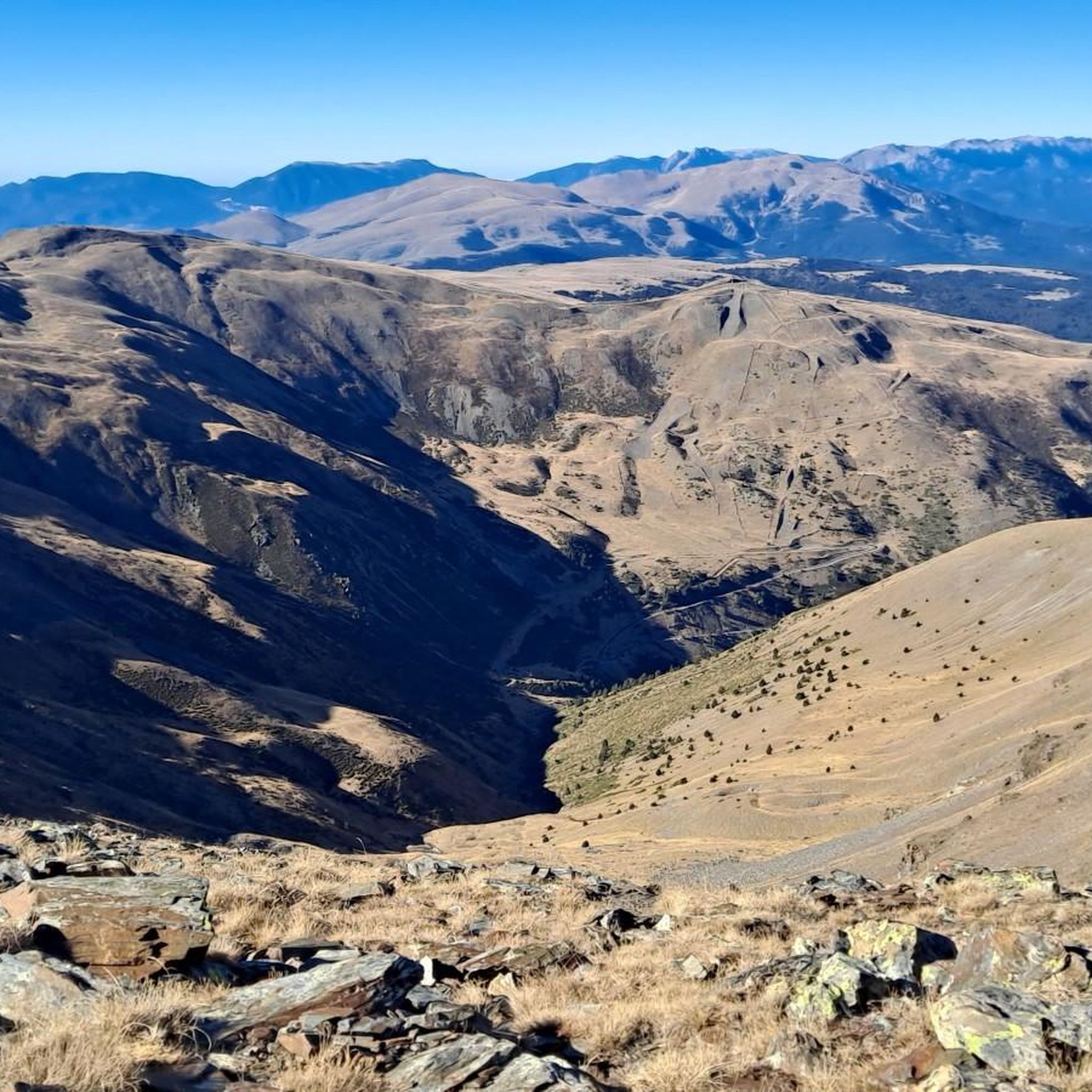
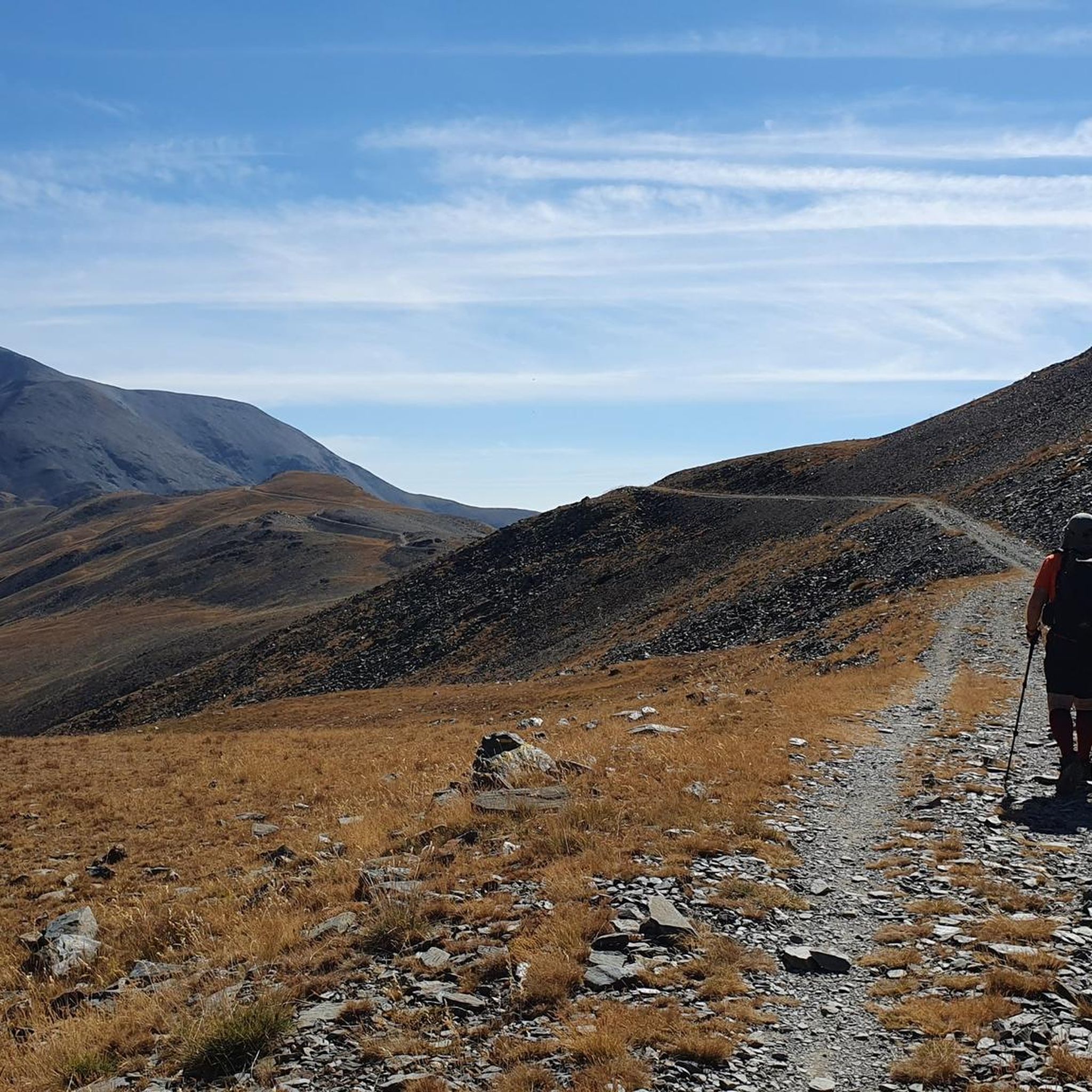
Tips from the Community

A beautiful Spanish exclave that is worth a visit.
1
0

The only positive thing about this pass is its relatively moderate gradient. The traffic (until the road to Andorra turns off) is horrific. Hordes of motorcyclists, trucks, cars... If you can, you should avoid this pass.
2
0


Although limited to 70 km/h, the tunnel is not passable by bicycle. There's even an electronic toll system.
2
0

Lake Matemale with its beautiful beaches is located at an altitude of 1500 metres and therefore the water is between 19 and 23°.
1
1


Frequently Asked Questions
How many touring cycling routes can I find around Err?
There are over 250 touring cycling routes available around Err, catering to various skill levels and preferences. This includes 32 easy routes, 88 moderate routes, and 138 difficult routes, ensuring a diverse range of options for your cycling adventure.
Are there any easy touring cycling routes suitable for beginners or families in Err?
Yes, Err offers 32 easy touring cycling routes. While the region is known for its varied topography, these routes provide a gentler introduction to touring cycling. For a family-friendly option, consider exploring the less challenging sections of routes that connect small villages, allowing for a relaxed pace.
What are some challenging touring cycling routes for experienced cyclists in Err?
For experienced cyclists seeking a challenge, Err boasts 138 difficult touring cycling routes. These often feature significant elevation changes and mountain passes. A notable difficult route is Saint-Julien Church in Estavar – Font-Romeu loop from Err, which covers 19.7 miles (31.6 km) with substantial elevation gain through mountainous landscapes. Another challenging option is the Llívia – Saillagouse Station loop from Saillagouse, a 15.2-mile (24.5 km) path traversing valley roads and including climbs between towns.
Are there circular touring cycling routes available in Err?
Yes, many touring cycling routes around Err are designed as loops, allowing you to start and finish at the same point. For example, the popular Saint-Julien Church in Estavar – Font-Romeu loop from Err is a circular route that takes you through varied terrain. Another circular option is the Saint-Fructueux Church – Eyne loop from Saillagouse, offering moderate climbs.
What kind of natural landmarks can I see along the touring cycling routes in Err?
The Err region, situated in the French Pyrenees, offers stunning natural landmarks. You can encounter impressive summits like Puigmal d'Er Summit, Pic de la Fossa del Gegant, and Pic de Finestrelles. There's also the beautiful Salt del Grill waterfall and scenic viewpoints such as Núria Viewpoint.
Are there any notable mountain passes to cycle through in the Err area?
Absolutely. The touring cycling routes around Err often feature challenging and scenic mountain passes. You can cycle over passes like Collada de Toses Pass, Col de la Perche (1,579 m), and Col du Calvaire (Font-Romeu). These passes provide both a physical challenge and breathtaking views of the Pyrenean landscape.
What do other touring cyclists say about the routes in Err?
The touring cycling routes in Err are highly regarded by the komoot community, holding an average rating of 4.3 stars from over 120 reviews. Cyclists often praise the diverse terrain, the blend of cultural and natural landscapes, and the well-maintained paths that connect small villages and historical sites.
What is the typical duration for touring cycling routes in Err?
The duration of touring cycling routes in Err varies significantly depending on the route's length and difficulty. For instance, the Saint-Fructueux Church – Eyne loop from Saillagouse typically takes about 1 hour 13 minutes to complete, while longer and more challenging routes like the Vedrinyans – Col de la Perche (1,579 m) loop from Saillagouse can take around 2 hours.
Are there any routes that offer a good mix of cultural and natural sights?
Many routes in Err connect small villages and historical sites with natural landscapes. The Vedrinyans – Saint-Fructueux Church loop from Saillagouse is a good example, leading you through varied terrain that often includes glimpses of local architecture and natural beauty. The region's routes are designed to offer a blend of both cultural and natural experiences.
What is the best time of year for touring cycling in Err?
Given Err's location in the French Pyrenees, the best time for touring cycling is typically from late spring to early autumn (May to October) when the weather is milder and mountain passes are clear of snow. During these months, you can enjoy comfortable temperatures and the full beauty of the region's varied topography.
Are there any routes that are particularly scenic or considered 'hidden gems'?
While many routes offer stunning views, the Vedrinyans – Col de la Perche (1,579 m) loop from Saillagouse is highly recommended for its scenic beauty, including views of the Col de la Perche. Exploring the less-trafficked paths connecting smaller villages can also reveal picturesque landscapes and a sense of discovery.
Most popular attractions around Err

Get inspired with the komoot mobile app


Explore more
Browse the best Cycling routes in other regions.
