The best walks and hikes around Besse-Et-Saint-Anastaise
4.5
(1374)
15,325
hikers
145
hikes
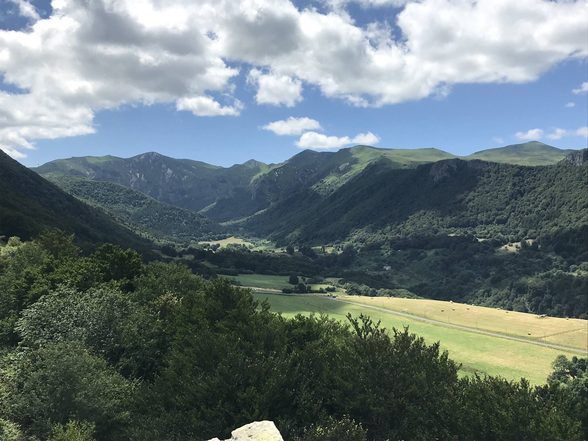
Hiking around Besse-Et-Saint-Anastaise offers diverse terrain within France's Auvergne region, characterized by its volcanic origins and position in the Massif du Sancy. The landscape features crater lakes like Lake Pavin, high peaks such as Puy de Sancy, and extensive forests. This area provides a variety of trails through hills, valleys, and along rivers like the Couze Pavin.
Best hiking trails around Besse-Et-Saint-Anastaise
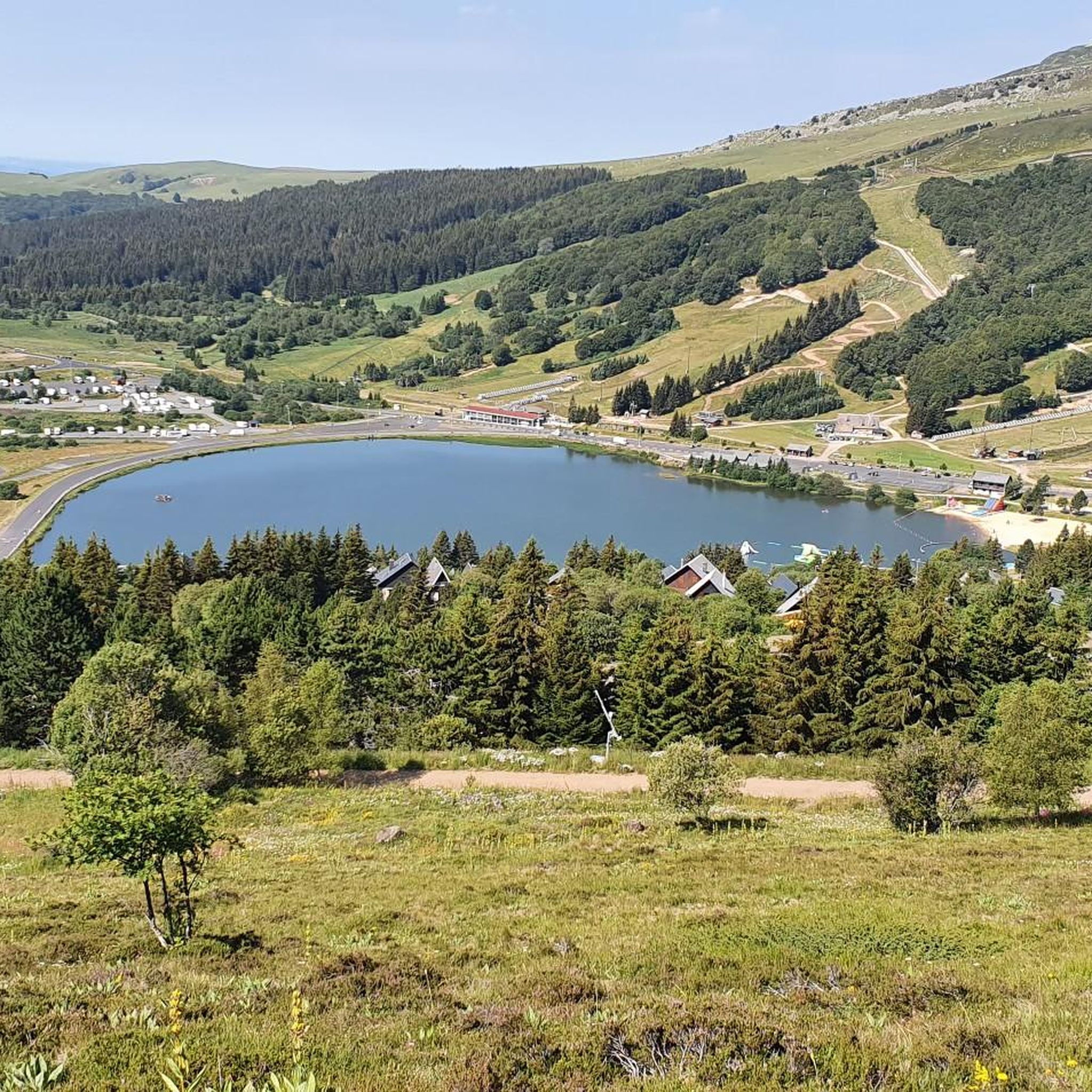
- The most popular hiking route is Walk around Lake Pavin, a 7.5 miles (12.0 km) moderate trail…
Last updated: October 10, 2026
4.8
(118)
604
hikers
12.0km
03:28
300m
300m
Moderate hike. Good fitness required. Mostly accessible paths. Sure-footedness required.
4.8
(170)
2,830
hikers
Easy hike. Great for any fitness level. Easily-accessible paths. Suitable for all skill levels.

4.5
(90)
736
hikers
11.8km
04:24
630m
630m
Moderate hike. Good fitness required. Mostly accessible paths. Sure-footedness required.
4.7
(69)
578
hikers
Moderate hike. Good fitness required. Easily-accessible paths. Suitable for all skill levels.
4.6
(52)
614
hikers
6.48km
01:57
180m
180m
Moderate hike. Great for any fitness level. Mostly accessible paths. Sure-footedness required.
Get access to more routes and recommendations from other explorers.
Already have an account?
Our route recommendations are based on thousands of hikes, rides, and runs completed by other people on komoot.
Start today with a free account
Your next adventure awaits.
Popular around Besse-Et-Saint-Anastaise
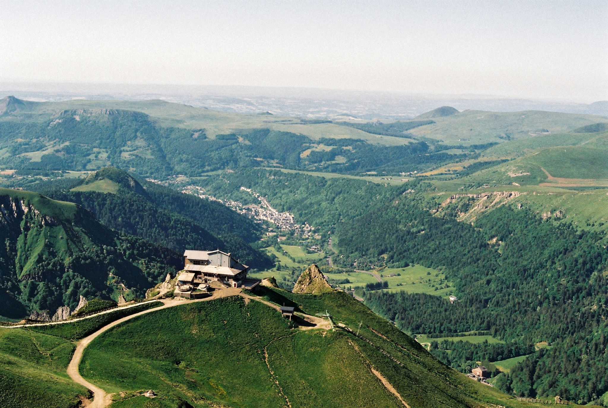
Crossing the volcanoes of Auvergne – Stromboliens, peléens and maars
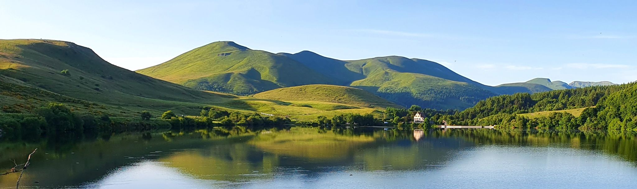
Tour of the volcanoes and lakes of Auvergne – GR 30
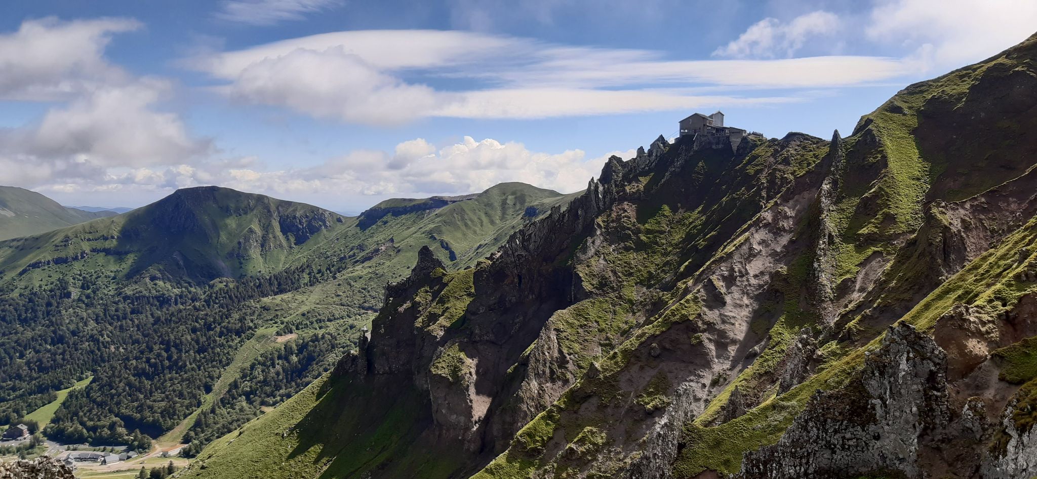
Volcanic walk in scenic Auvergne – Sancy loop, long version
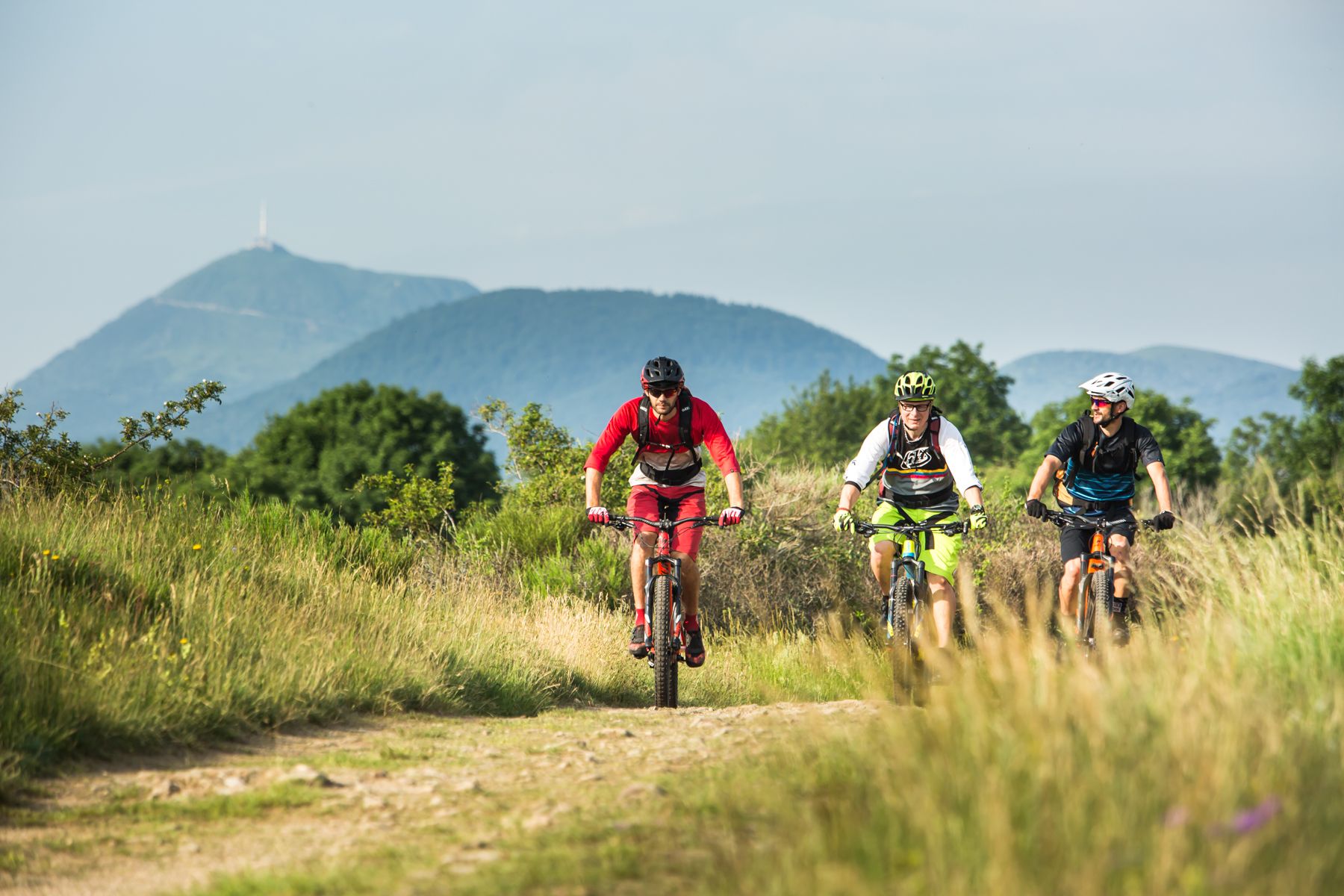
By MTB through the Auvergne — la traversée des volcans
Discover France’s Massif Central — the Auvergne volcanoes loop
Running Trails around Besse-Et-Saint-Anastaise
Road Cycling Routes around Besse-Et-Saint-Anastaise
MTB Trails around Besse-Et-Saint-Anastaise
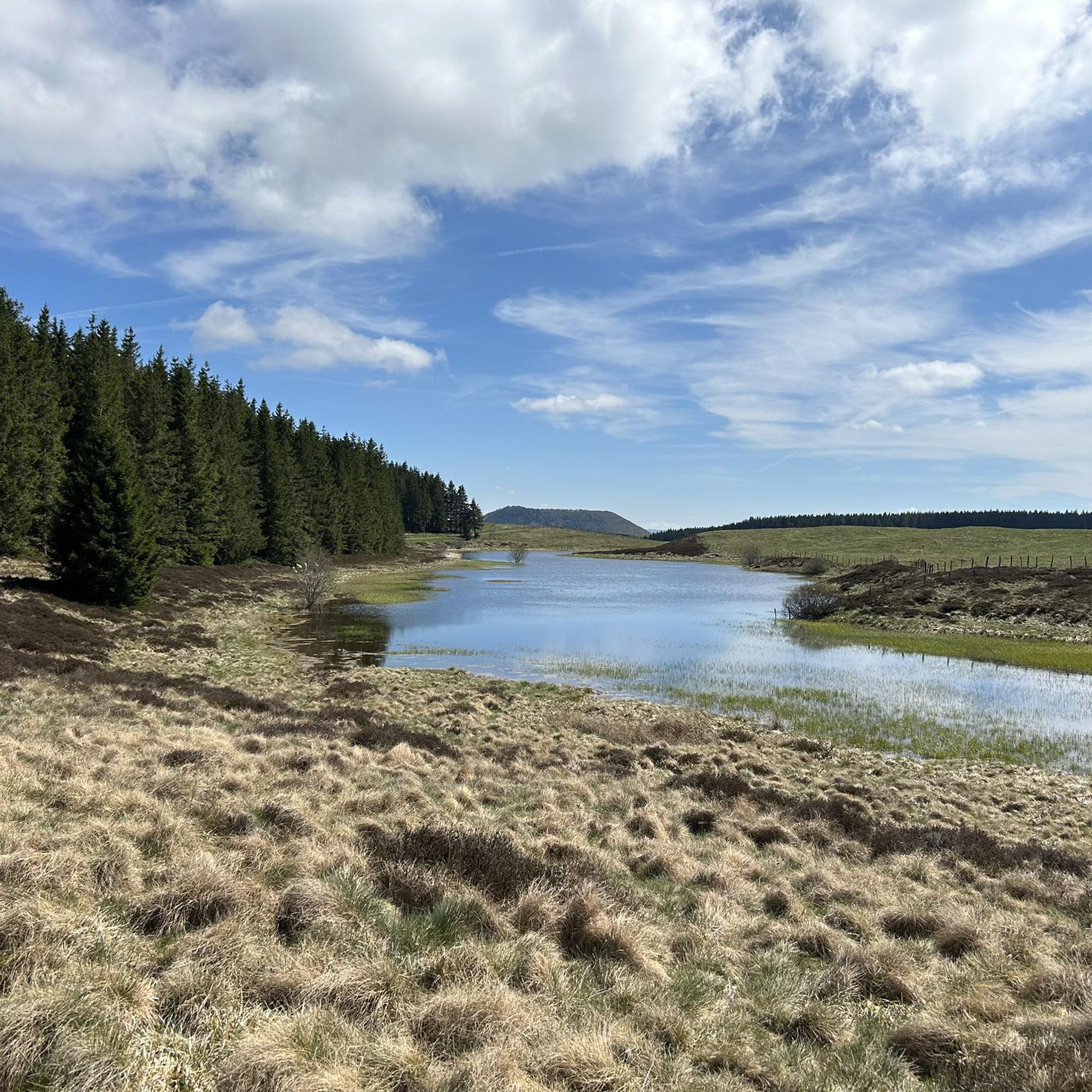
Cycling around Besse-Et-Saint-Anastaise
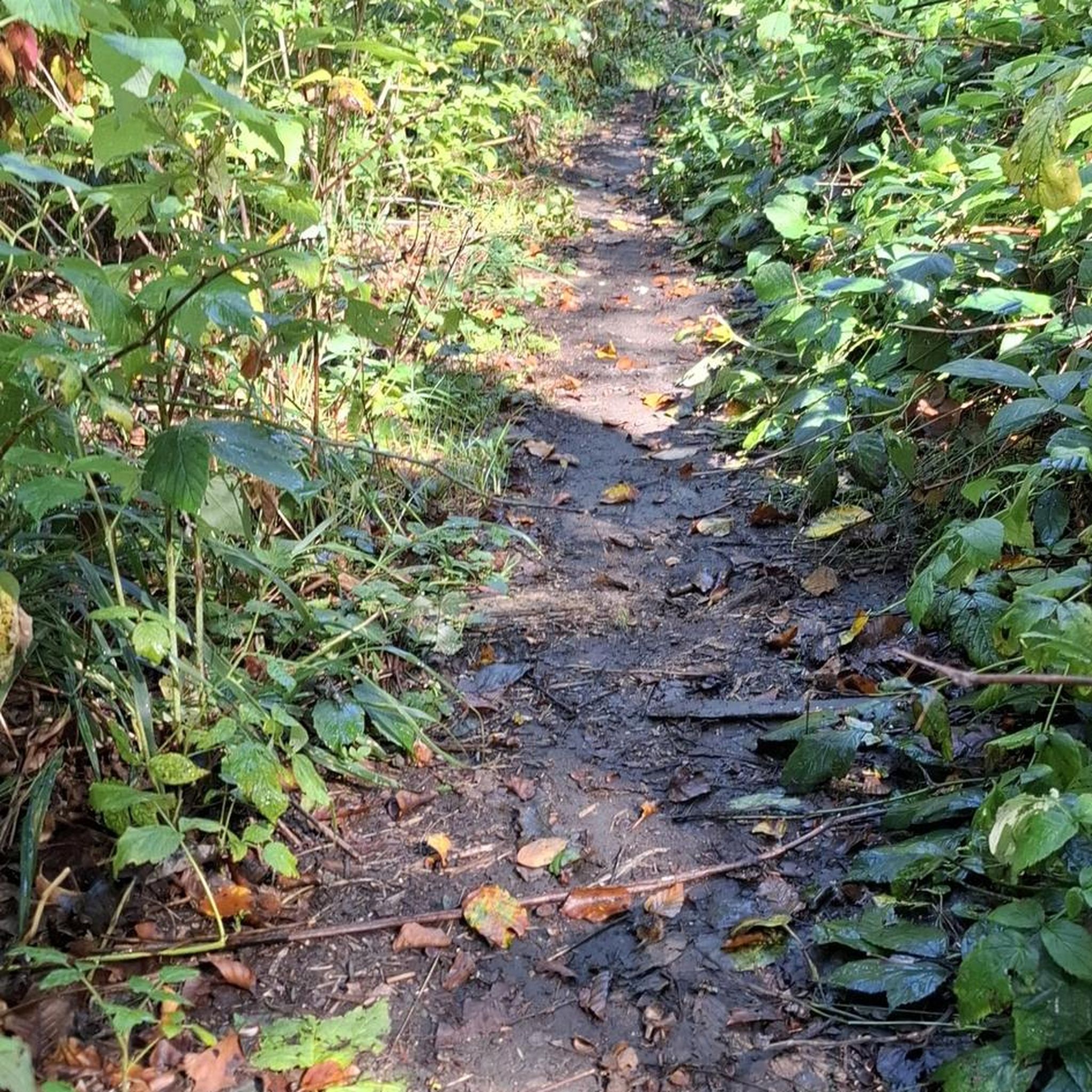
Gravel biking around Besse-Et-Saint-Anastaise
Other adventures around Besse-Et-Saint-Anastaise


Tips from the Community

The central fountain has very good spring water.
0
0
The central fountain has very good spring water.
0
0


you have to have ridden it to understand
0
1

Panoramic view as far as the eye can see
0
0


Frequently Asked Questions
How many hiking trails are available around Besse-Et-Saint-Anastaise?
There are over 150 hiking trails in the Besse-Et-Saint-Anastaise area, offering a wide range of options for different skill levels and preferences. This includes routes through volcanic landscapes, around crater lakes, and up to mountain peaks.
What kind of terrain can I expect on hikes in Besse-Et-Saint-Anastaise?
The terrain around Besse-Et-Saint-Anastaise is primarily characterized by its volcanic origins and position within the Massif du Sancy. You'll encounter diverse landscapes including crater lakes like Lake Pavin, high peaks such as Puy de Sancy, and extensive forests. Trails vary from gentle paths around lakes to more challenging ascents on volcanic slopes.
Are there any easy, family-friendly hikes in the area?
Yes, there are many easy routes suitable for families. For instance, the Lake Pavin – Devil's Chair loop from Communauté de communes du Massif du Sancy is an easy 4.1 km trail that takes about 1 hour 10 minutes, offering beautiful views of the unique volcanic landscape around Lake Pavin.
What are some challenging hikes for experienced trekkers?
For more experienced hikers, the Puy de Sancy – Crêtes du Sancy loop from Super Besse is a moderate 11.8 km path with significant elevation gain. This route provides panoramic ridge walks around Puy de Sancy, the highest peak in the Massif Central, offering a more strenuous experience.
Are there any circular walks around Besse-Et-Saint-Anastaise?
Yes, many trails in the region are circular. A popular option is the Walk around Lake Pavin, a 12 km moderate loop that circles the stunning volcanic crater lake. Another is the Besse-et-Saint-Anastaise – Peace and serenity loop from Besse, a 6.4 km moderate trail starting directly from the village.
What natural features or landmarks can I see while hiking?
The region is rich in natural landmarks. You can explore the stunning crater lakes like Lake Pavin and Lac de Montcineyre, or hike towards Puy de Sancy, the highest peak in the Massif Central. There are also beautiful waterfalls such as The Grande Cascade of Mont-Dore and Queureuilh waterfall, as well as various mountain passes like Courre Pass offering expansive views.
Is Besse-Et-Saint-Anastaise a good destination for dog-friendly hikes?
Many trails in the Auvergne Volcanic Regional Nature Park are suitable for dogs, provided they are kept on a leash, especially in areas with livestock or protected wildlife. It's always best to check specific trail regulations before heading out, but generally, the natural environment is welcoming for hikers with dogs.
What is the best time of year to go hiking in Besse-Et-Saint-Anastaise?
The best time for hiking is typically from spring to autumn (May to October), when the weather is mild and trails are clear. Summer offers lush landscapes, while autumn brings vibrant colors. Winter hiking is possible, especially with snowshoes, but requires appropriate gear and awareness of conditions, particularly at higher elevations like Puy de Sancy.
Are there any hikes that offer views of Puy de Montchal?
Yes, you can find routes that provide views of Puy de Montchal. For example, the View of Lake Pavin – Puy Montchal loop from Égliseneuve-d'Entraigues is a moderate 8.7 km hike that offers perspectives of both Lake Pavin and Puy de Montchal.
What do other hikers say about the trails in Besse-Et-Saint-Anastaise?
The trails in Besse-Et-Saint-Anastaise are highly rated by the komoot community, with an average score of 4.5 stars from over 1000 reviews. Hikers often praise the stunning volcanic landscapes, the beauty of Lake Pavin, and the well-maintained paths that cater to various skill levels.
Is public transport available to access hiking trails?
While public transport options might be limited directly to all trailheads, the village of Besse-Et-Saint-Anastaise itself can serve as a starting point for several routes. For more remote trails, driving and parking at designated spots is often the most convenient option. It's advisable to check local transport schedules if relying on public services.
Most popular routes around Besse-Et-Saint-Anastaise
Most popular attractions around Besse-Et-Saint-Anastaise

Get inspired with the komoot mobile app


Explore more
Browse the best Hikes in other regions.
