The best walks and hikes around Kreis Borken
4.5
(18486)
77,777
hikers
4,032
hikes
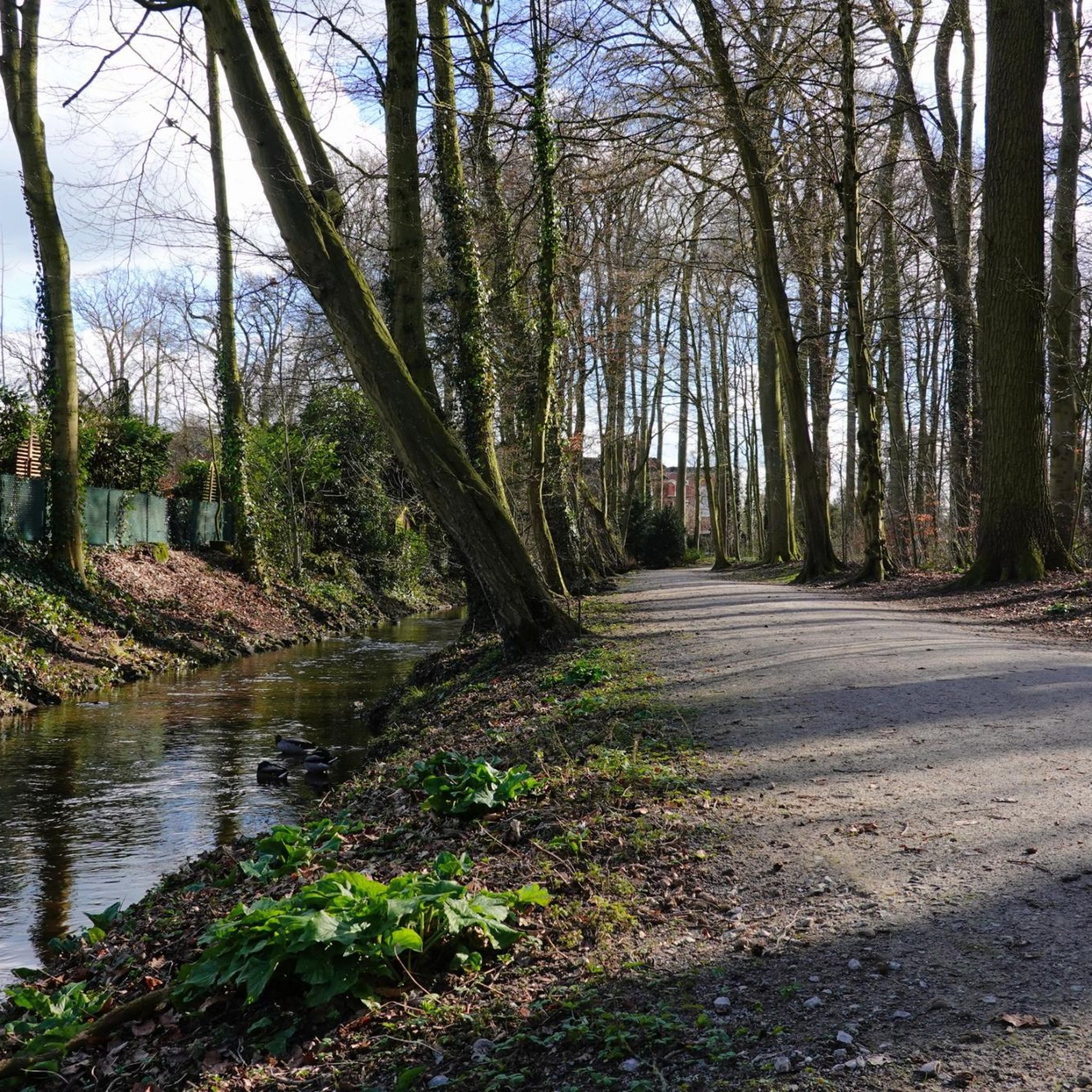
Hiking around Kreis Borken offers diverse landscapes, from the gentle hills of Münsterland to the serene floodplains of the Lippe river. The region features extensive nature parks like Hohe Mark, unique nature reserves such as Zwillbrocker Venn with its forest and swamp areas, and ancient high moors. Varied terrain includes river landscapes, dense forests, and picturesque lakes, providing a range of experiences for outdoor enthusiasts.
Best hiking trails around Kreis Borken
- The most popular hiking route is Raesfeld Castle Zoo:…
Last updated: October 28, 2026
4.7
(348)
1,259
hikers
5.11km
01:35
20m
20m
Easy hike. Easily walkable paths.
4.7
(212)
745
hikers
10.0km
02:40
110m
110m
Moderate hike. Good fitness required. Easily walkable paths.

4.7
(193)
638
hikers
6.46km
01:39
20m
20m
Easy hike. Easily walkable paths.
4.6
(165)
539
hikers
13.7km
03:32
70m
70m
Moderate hike. Good fitness required. Easily walkable paths.
4.8
(436)
1,335
hikers
Moderate hike. Good fitness required. Easily walkable paths.
4.8
(37)
198
hikers
2.78km
00:44
30m
30m
Easy hike. Easily walkable paths.
4.7
(404)
1,087
hikers
Moderate hike. Good fitness required. Easily walkable paths.
4.7
(312)
856
hikers
10.2km
02:37
30m
30m
Moderate hike. Good fitness required. Easily walkable paths.
4.7
(284)
795
hikers
11.9km
03:02
40m
40m
Moderate hike. Good fitness required. Easily walkable paths.
4.0
(3)
22
hikers
2.41km
00:45
10m
10m
Easy hike. Easily walkable paths.
Get access to more routes and recommendations from other explorers.
Already have an account?
Our route recommendations are based on thousands of hikes, rides, and runs completed by other people on komoot.
Start today with a free account
Your next adventure awaits.
Other adventures around Kreis Borken


Tips from the Community

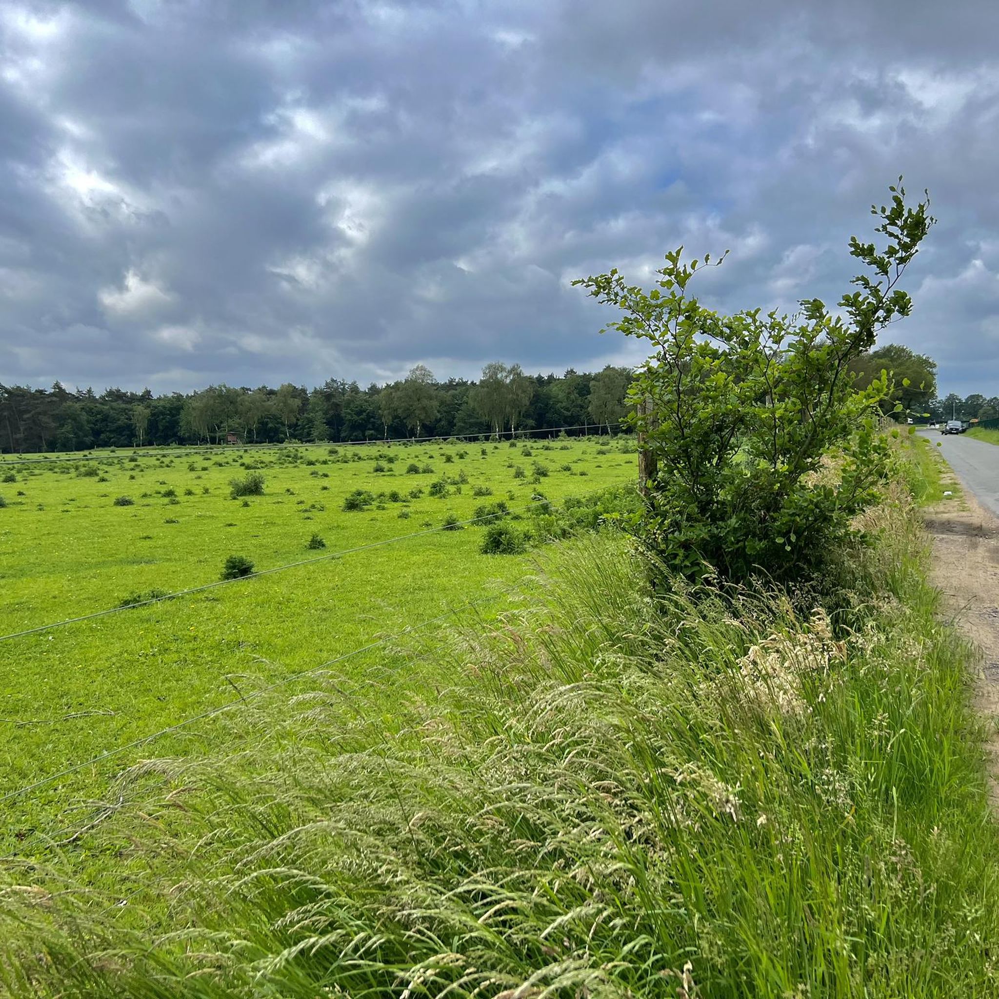
Fliegerberg is an 84.7-meter-high sand elevation in the wooded ridge "Die Berge" between Borken and Velen in the Westmünsterland region. It belongs to the Hohe Mark Nature Park and is known today as a protected and valuable habitat. Origin of the name: The hill owes its name to its former use as a glider airfield. From 1930 onwards, the "Borkener Segelflug Gruppe" used the elevation as a launch ramp, while the sandy, nutrient-poor grassland served as a runway. From 1975 to 2007, the area was owned by the German Armed Forces (Bundeswehr). This military closure preserved the heath landscape from agricultural destruction. Nature and species conservation: Today, the area is an official nature reserve. • Heath landscape: An approximately 25-hectare area of sandy, nutrient-poor grassland and Calluna heath characterizes the area. • Wildlife: Fliegerberg is home to rare and protected species such as the sand lizard and the woodlark. • Landscape management: To protect the open land from scrub encroachment, Scottish Highland cattle graze here today as natural landscape managers. Hiking and experiencing: Fliegerberg is a popular destination for hikers and is ideal for exploring on foot. • The LandStreifer: The certified circular hiking trail "Die Berge" leads directly around the natural heritage area. Details on route profiles and GPS data are provided by tour portals such as Komoot. • Historical treasures: Those who hike attentively through the light mixed forests can discover inconspicuous, historical burial mounds from the Stone and Bronze Ages nearby.
0
0
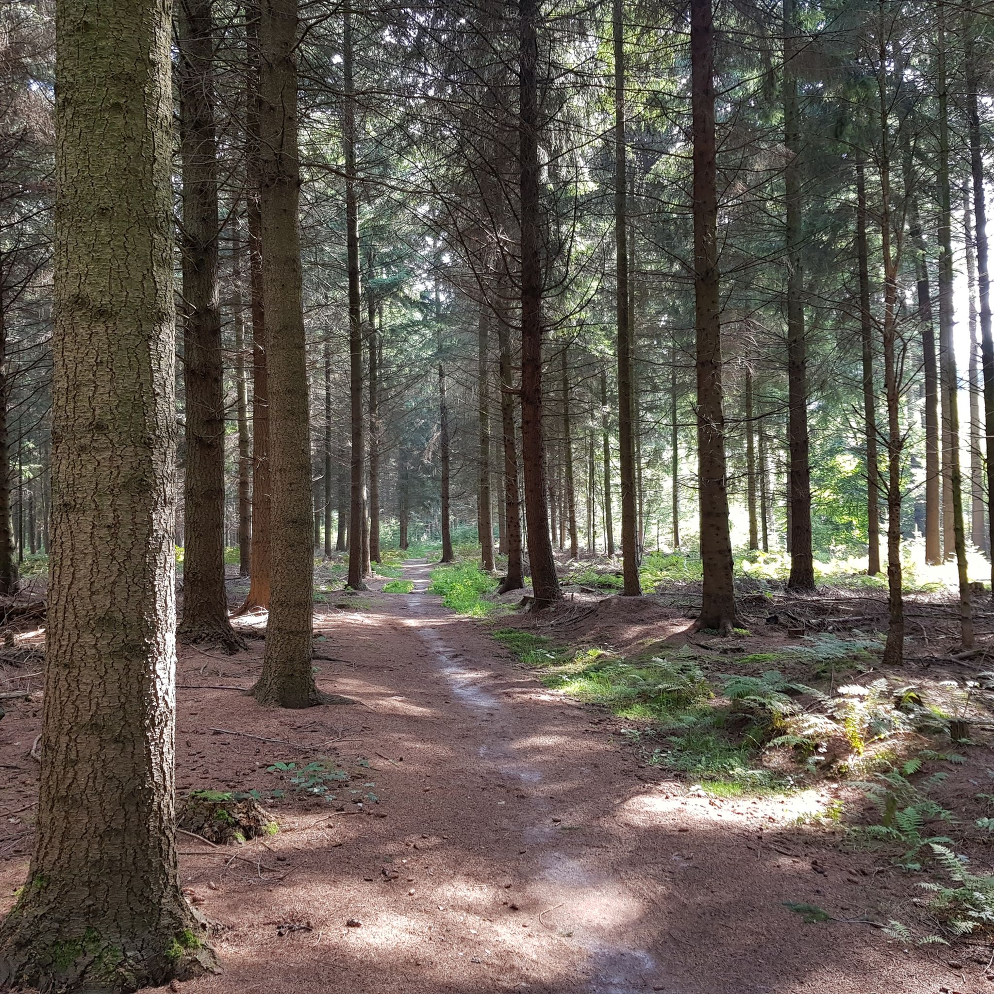
The Hövelberg (Höglantheifeld) is a wooded mountain peak and a popular hiking highlight in the "Die Berge" region in the western Münsterland (North Rhine-Westphalia) in the area of Borken, Velen, and Ramsdorf. Details for hikers and explorers: • Starting point: Directly at the mountain, there is an idyllically located forest parking lot from which several hiking trails (such as the LandStreifer-Runde or the Highlandrinder-Runde) start. • Summit marker: The highest point is indicated in the forest by a striking stone combination or a corresponding summit marker.
0
0


To the east of the (Bohlen) circular path, near the border, the wooden path turns into a soft peat path. You can walk comfortably and gently on the peat ground (if it hasn't rained for weeks). In this area of the circular path, rainwater still drains relatively well, as there are no clay layers/bedrock hindering water seepage. Partially, wooden railway sleepers lie underneath. I assume they are for securing, so you don't sink completely into the soft ground. The iron screws and nails of the railway sleepers are still clearly visible.
2
0
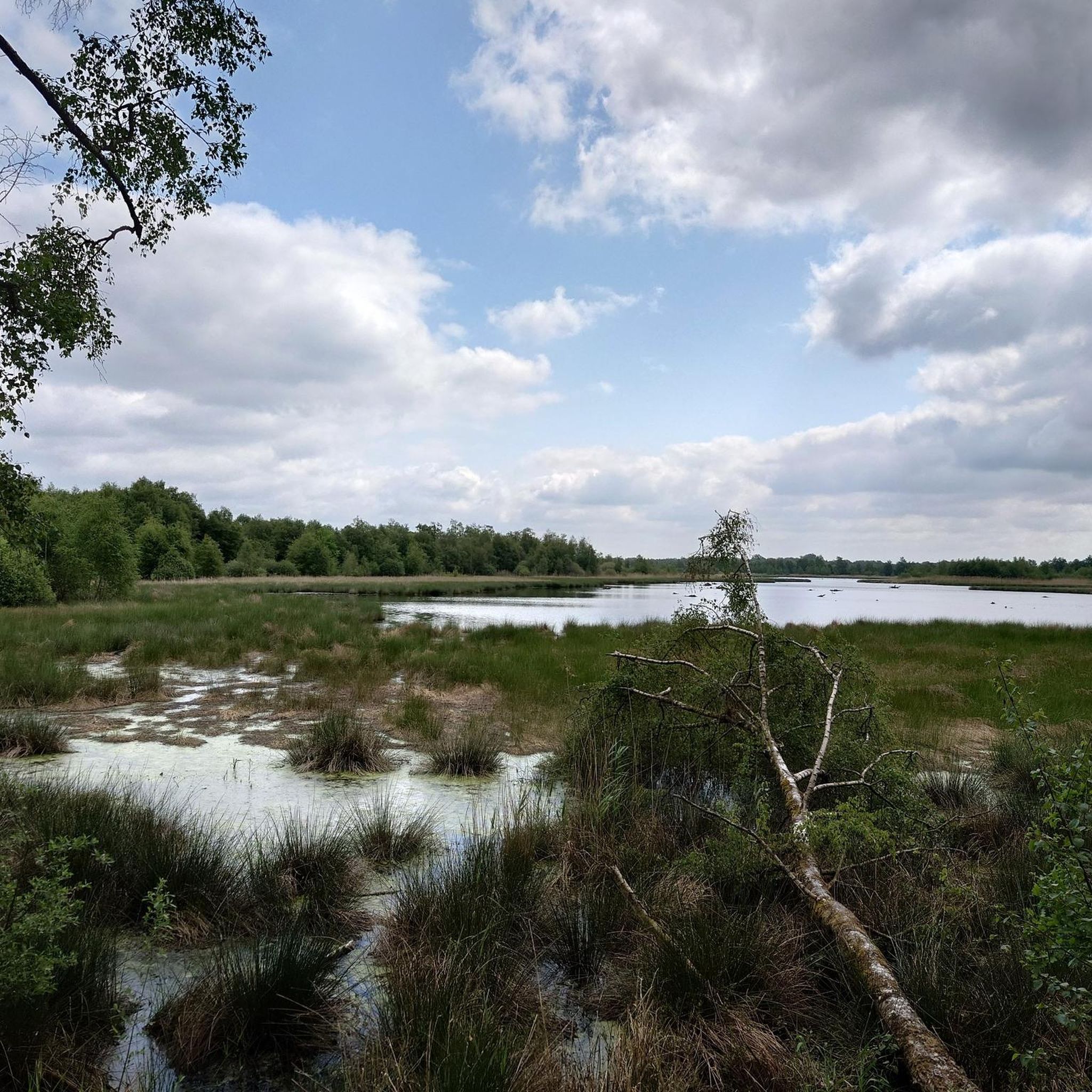
The raised bog between Woold (NL) and Burlo-Vardingholt (DE) was formed over the last 5000 years. During this time, undigested plant remains accumulated to form a peat layer several meters thick. The peat was removed in the 19th and 20th centuries. Little remained of the original raised bog. Today, "Natuurmonumenten" (NL) and the district of Borken (DE) are jointly working on the renaturation of the European Natura 2000 area. The first results are already visible. Frogs, toads, and salamanders live in the newly created ponds. Sphagnum moss is growing again, and sundew colors the ground reddish in places. There was a lot of smuggling in the border area between Germany and the Netherlands. Especially here in the lonely moor, the smuggler believed he would not be caught so easily by the "Kommies" (Low German for customs officer). Therefore, the customs officers patrolled. And such a historical "Kommiesenpatt" (control path) ran right through the moor here and sharply along the border. On this border path, you can see 3 historical boundary stones out of a total of 186.
2
0
This circular route, just under 2 km long, leads over wooden planks through the beautiful Wooldse Veen. The wooden planks are covered with a thin wire mesh so that you don't slip. The paths are very narrow (caution is advised if you suffer from vertigo!) and to allow for passing when meeting others, there are passing places at regular intervals.
2
0

In 07.2026 I ran the LandStreifer from the Hohen Mark Steig. This hut is one of the many small and large highlights on this great circular trail.
0
0
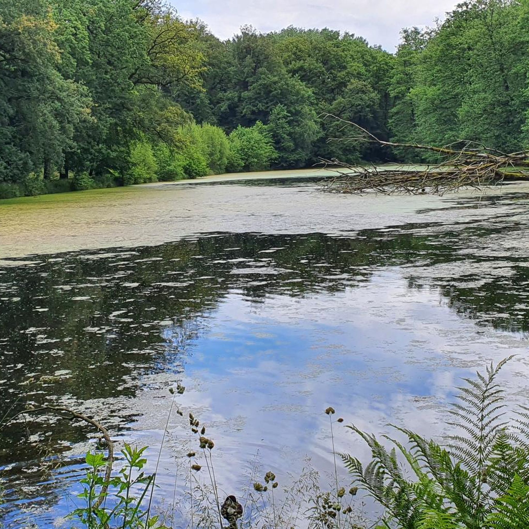
I ran the LandStreifer from the Hohen Mark Steig here in 07.2026. This pond is one of the many small and large highlights on this great circular route.
0
0
Frequently Asked Questions
How many hiking trails are available in Kreis Borken?
Kreis Borken offers a vast network of nearly 4,000 hiking trails. These routes cater to all skill levels, with over 2,700 easy trails, more than 1,000 moderate options, and over 100 challenging routes for experienced hikers.
What kind of landscapes can I expect to see while hiking in Kreis Borken?
The region boasts diverse landscapes, from the gentle hills of Münsterland to the serene floodplains of the Lippe river. You'll find extensive nature parks like Hohe Mark, unique nature reserves such as Zwillbrocker Venn with its forest and swamp areas, and ancient high moors like Burlo-Vardingholter Venn. River landscapes, dense forests, and picturesque lakes like Pröbstingsee also define the area.
Are there any family-friendly hiking options in Kreis Borken?
Yes, Kreis Borken has many easy trails suitable for families. The Groß Reken forest adventure trail is a great choice, offering an engaging experience for younger hikers. Additionally, the Burlo Forest Nature Trail is known for its adventure playground and educational stations, making it ideal for family outings.
Can I find circular hiking routes in Kreis Borken?
Many trails in Kreis Borken are designed as circular routes, allowing you to start and end at the same point. An example is the easy Raesfeld Castle Zoo: nature park house – loop A1, which explores the surroundings of Raesfeld Castle.
What are some notable natural features or landmarks to look out for on the trails?
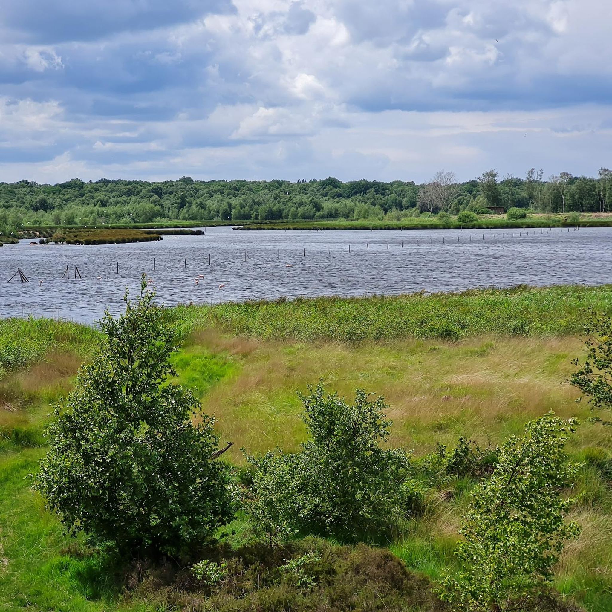
Hikers can discover several unique natural features and landmarks. The Zwillbrocker Venn is famous for its flamingo colony, the northernmost in Europe. You might also encounter the ancient high moor of Burlo-Vardingholter Venn, or explore areas like 'Die Berge' Nature Reserve with its varied vegetation. Historic castles like Raesfeld Castle and Velen Castle are also prominent landmarks integrated into many routes.
Are there any trails that offer scenic viewpoints?
Yes, some trails provide excellent views across the landscape. The moderate LandStreifer Reken "Your bed with a view" is specifically known for its varied terrain and scenic vistas.
What do other hikers say about the trails in Kreis Borken?
The trails in Kreis Borken are highly rated by the komoot community, with an average score of 4.5 stars from over 15,000 reviews. Hikers often praise the well-maintained paths, the diverse natural beauty, and the peaceful atmosphere of the region's forests and nature reserves.
Are there any trails that pass by historic castles or manor houses?
Absolutely. Kreis Borken is rich in history, and many hiking routes incorporate historic sites. For instance, the LandStreifer Raesfeld 'In the footsteps of Count Alexander II' leads through natural park areas near historic landmarks. The region is also part of the '100 Castles Route', offering many opportunities to combine hiking with exploring impressive moated castles like Gemen Youth Castle.
What is the best time of year to go hiking in Kreis Borken?
Kreis Borken offers enjoyable hiking experiences throughout the year due to its varied landscapes. Spring brings blooming nature, summer allows for longer days, autumn showcases vibrant foliage, and even winter offers tranquil, crisp walks through the forests and moors. The choice depends on your preference for scenery and weather.
Are there any longer, more challenging routes for experienced hikers?
While many trails are easy to moderate, Kreis Borken does offer more challenging options. The Hohe Mark Nature Park, for example, features the 150-kilometer-long Hohe Mark Steig, which provides a more extensive and demanding hiking experience for those seeking a multi-day adventure or longer day hikes.
Can I find trails that explore the unique moorland areas?
Yes, the region is known for its ancient moorlands. The Burlo-Vardingholter Venn, a 4,000-year-old high moor, preserves rare animal and plant species and offers unique hiking opportunities. You can also explore routes like Ponds in the Venn – Moor Pond in Landkreis Emsland loop from Rüenberger Venn to experience these distinctive landscapes.
Are there any trails that offer a mix of forest and open landscapes?
Many routes in Kreis Borken provide a varied experience, transitioning between dense forests and open areas. The LandStreifer Borken/Velen "The mountains" is a moderate trail that takes you through diverse terrain, including forested sections and more open landscapes, offering a dynamic hiking experience.
Most popular routes around Kreis Borken
Most popular attractions around Kreis Borken

Get inspired with the komoot mobile app


Didn’t find what you were looking for?
Check out more Hikes throughout Kreis Borken below and find the perfect route in your destination.
Explore more
Browse the best Hikes in other regions.
