The best hikes from bus stations around Kreis Borken
4.5
(18416)
77,447
hikers
2,439
hikes
Bus station hiking trails around Kreis Borken traverse a landscape characterized by meadows, forests, and rivers in the western Münsterland. The region features generally flat terrain, making it accessible for various hiking levels. Notable natural areas include the Naturpark Hohe Mark, unique moor and swamp landscapes like the Zwillbrocker Venn and Burlo-Vardingholter Venn, and heathland areas such as the Fliegerberg. These diverse environments offer a range of natural experiences for hikers.
Best bus station hiking trails around Kreis Borken
- The…
Last updated: October 13, 2026
4.7
(203)
723
hikers
10.0km
02:40
110m
110m
Moderate hike. Good fitness required. Easily-accessible paths. Suitable for all skill levels.
4.8
(436)
1,335
hikers
Moderate hike. Good fitness required. Easily-accessible paths. Suitable for all skill levels.

4.7
(295)
812
hikers
Moderate hike. Good fitness required. Easily-accessible paths. Suitable for all skill levels.
4.7
(475)
1,303
hikers
Moderate hike. Good fitness required. Easily-accessible paths. Suitable for all skill levels.
4.5
(116)
493
hikers
Easy hike. Great for any fitness level. Easily-accessible paths. Suitable for all skill levels.
Get access to more routes and recommendations from other explorers.
Already have an account?
Our route recommendations are based on thousands of hikes, rides, and runs completed by other people on komoot.
Start today with a free account
Your next adventure awaits.
Popular around Kreis Borken

Hikes from bus stations around Bocholt
Hikes from bus stations around Vreden
Hikes from bus stations around Stadtlohn
Hikes from bus stations around Ahaus
Hikes from bus stations around Südlohn
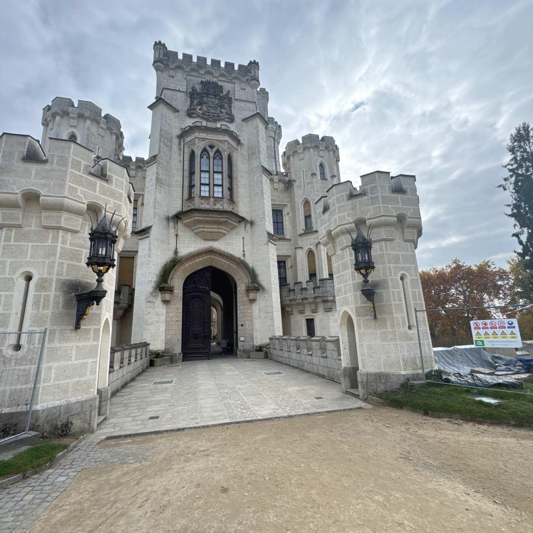
Hikes from bus stations around Raesfeld

Hikes from bus stations around Rhede
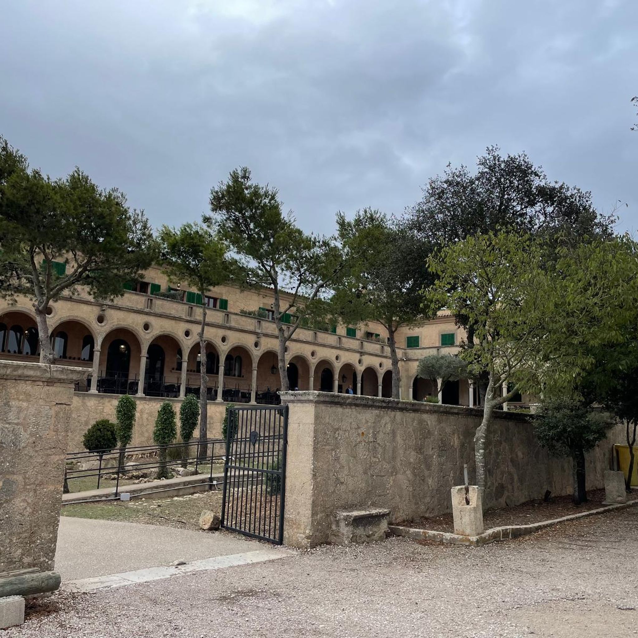
Hikes from bus stations around Velen
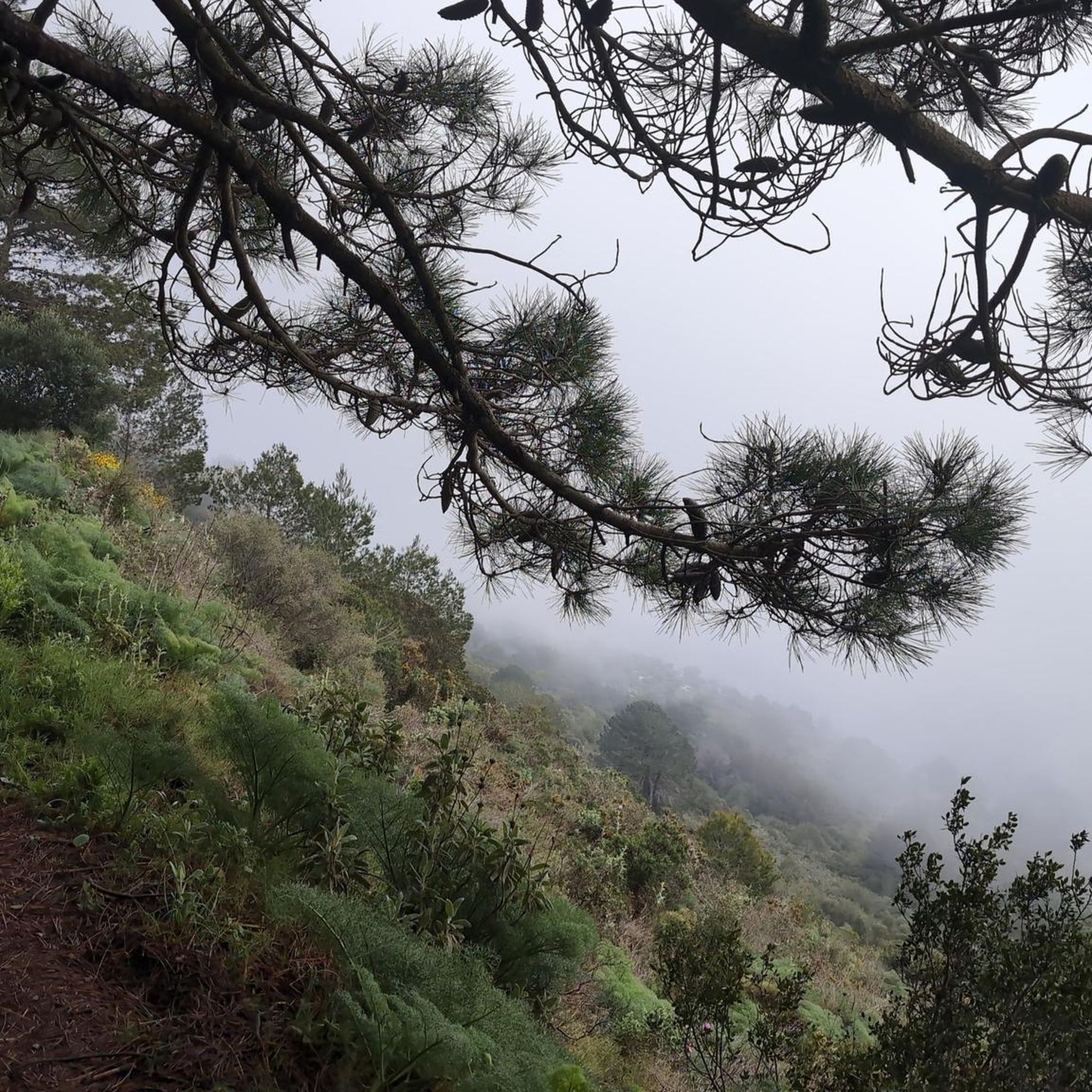
Hikes from bus stations in Zwillbrocker Venn
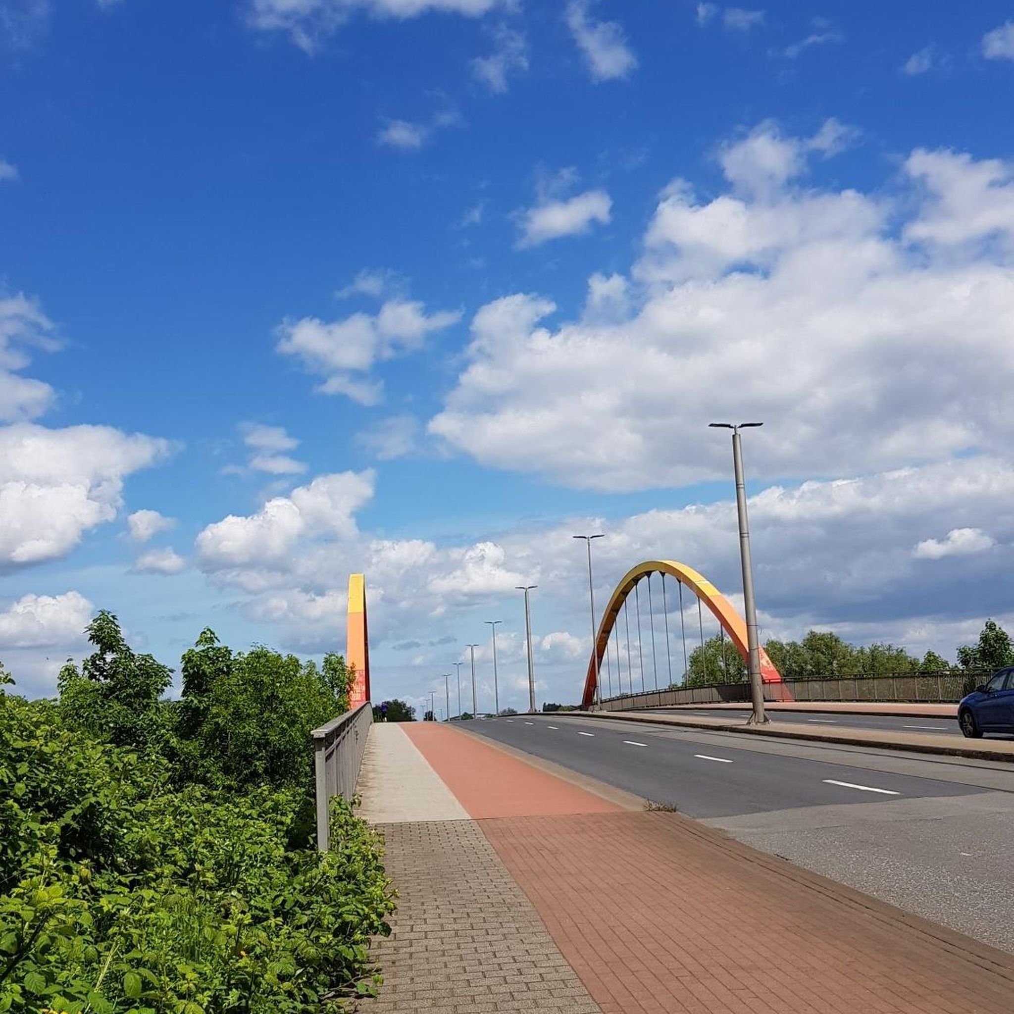
Hikes from bus stations around Die Die Berge
Other adventures around Kreis Borken


Tips from the Community

To the east of the (Bohlen) circular path, near the border, the wooden path turns into a soft peat path. You can walk comfortably and gently on the peat ground (if it hasn't rained for weeks). In this area of the circular path, rainwater still drains relatively well, as there are no clay layers/bedrock hindering water seepage. Partially, wooden railway sleepers lie underneath. I assume they are for securing, so you don't sink completely into the soft ground. The iron screws and nails of the railway sleepers are still clearly visible.
2
0
The raised bog between Woold (NL) and Burlo-Vardingholt (DE) was formed over the last 5000 years. During this time, undigested plant remains accumulated to form a peat layer several meters thick. The peat was removed in the 19th and 20th centuries. Little remained of the original raised bog. Today, "Natuurmonumenten" (NL) and the district of Borken (DE) are jointly working on the renaturation of the European Natura 2000 area. The first results are already visible. Frogs, toads, and salamanders live in the newly created ponds. Sphagnum moss is growing again, and sundew colors the ground reddish in places. There was a lot of smuggling in the border area between Germany and the Netherlands. Especially here in the lonely moor, the smuggler believed he would not be caught so easily by the "Kommies" (Low German for customs officer). Therefore, the customs officers patrolled. And such a historical "Kommiesenpatt" (control path) ran right through the moor here and sharply along the border. On this border path, you can see 3 historical boundary stones out of a total of 186.
2
0
This circular route, just under 2 km long, leads over wooden planks through the beautiful Wooldse Veen. The wooden planks are covered with a thin wire mesh so that you don't slip. The paths are very narrow (caution is advised if you suffer from vertigo!) and to allow for passing when meeting others, there are passing places at regular intervals.
2
0
This approximately 2 km circular route leads over wooden boardwalks through the beautiful Venn. The boardwalks are covered with a thin wire mesh so that you don't slip. The paths are very narrow (caution is also advised if you suffer from vertigo!) and, to be able to pass others, there are passing places at regular intervals.
1
0

Beautiful but the Gildahauser Venn is located in the Landkreis Grafschaft Bentheim.
1
0

A few hundred meters of boardwalk, great
0
0


Frequently Asked Questions
How many bus station hiking trails are available in Kreis Borken?
There are over 2,400 hiking routes around Kreis Borken that are accessible by bus, offering a wide range of options for all skill levels. The majority of these, over 1,600, are considered easy, with another 770+ being moderate.
Are there family-friendly bus station hikes in Kreis Borken?
Yes, many routes are suitable for families, thanks to the region's generally flat terrain. The LandStreifer Reken "Your bed with a view" is a moderate 10 km loop that offers scenic views and is a great option for a family outing. The Walderlebnisweg Reken, mentioned in regional research, also indicates a focus on family-friendly outdoor experiences in the area.
Can I bring my dog on these bus-accessible hikes?
Most hiking trails in Kreis Borken are dog-friendly, especially those through forests and open landscapes. It's always recommended to keep your dog on a leash, particularly in nature reserves like the Zwillbrocker Venn, to protect local wildlife. The Teufelsschlucht Stadtlohn – Ancient Beech Tree loop from Stadtlohn is a great option for a walk with your canine companion.
Are there any circular bus station hikes in Kreis Borken?
Yes, many of the bus-accessible routes are circular, allowing you to start and end at the same bus stop. For example, the Ponds in the Venn – Moor Pond in Landkreis Emsland loop from Rüenberger Venn is a moderate 10 km circular hike that explores the unique wetland landscape.
What kind of natural attractions can I see along these bus-accessible routes?
Kreis Borken offers diverse natural beauty. You can explore unique wetlands like the Zwillbrocker Venn, famous for its flamingo colony, or discover the varied landscape of "Die Berge" nature reserve, which includes the sandy Fliegerberg and the Hombornquelle spring area. The Fliegerberg Meadow – Fliegerberg loop from Lünsberg und Hombornquelle is a great way to experience this area.
Are there any historical sites or castles accessible from bus stops?
Yes, the region is rich in history. While many castles are best reached by car or bike, some routes may pass close to historical points. For example, the Westphalian Way of St. James, which traverses the region, connects sites like Velen Castle and Raesfeld Castle. While not directly from a bus stop, these are significant regional attractions.
What is the best time of year for bus station hiking in Kreis Borken?
Kreis Borken is beautiful year-round. Spring brings blooming meadows, summer offers lush green forests, and autumn provides stunning foliage. Even in winter, the generally flat terrain makes for pleasant walks, though some paths might be muddy. The unique birdlife at Zwillbrocker Venn is particularly active in spring and summer.
What do other hikers enjoy the most about hiking in Kreis Borken?
The area is highly rated by the komoot community, with an average score of 4.5 stars from over 15,000 ratings. Reviewers often praise the tranquil atmosphere, the well-maintained and diverse paths through meadows and forests, and the accessibility of many routes via public transport. The unique natural features like the Zwillbrocker Venn are also frequently highlighted.
Are there any routes that offer views of lakes or rivers?
Absolutely. The region features several water bodies. The Wooldse Veen Boardwalk – Wooldse Veen Boardwalk loop from Bietenschlatt offers views of the unique Wooldse Veen. Additionally, paths along the Bocholter Aa river provide an immersive nature experience, and the Pröbstingsee Recreation Area is a hub for water-based activities and pleasant walks around the lake.
Are there any hidden gems or less-known trails accessible by bus?
While many trails are popular, the vast network of routes means there are always quieter paths to discover. Exploring the smaller nature reserves like Burlo-Vardingholter Venn, an ancient moor, can offer a unique and less-traveled experience. Look for routes that venture deeper into the Naturpark Hohe Mark for serene and secluded walks.
Most popular routes around Kreis Borken
Most popular attractions around Kreis Borken

Get inspired with the komoot mobile app


Didn’t find what you were looking for?
Check out more Hikes throughout Kreis Borken below and find the perfect route in your destination.
Explore more
Browse the best Hikes in other regions.
