The best road cycling routes around Annot
4.7
(68)
2,066
riders
31
rides
Road cycling routes around Annot traverse a diverse and scenic landscape in the Alpes-de-Haute-Provence, characterized by mountainous and hilly terrain. The region features unique geological formations like the Grés d'Annot sandstones, alongside numerous mountain passes such as Col de Toutes Aures. Cyclists will encounter a mix of asphalt roads, wooded hills, and picturesque views of natural features like Lake Castillon and cascading streams. This varied topography provides a range of routes suitable for different skill levels.
Best road cycling routes…
Last updated: September 28, 2026
5.0
(3)
202
riders
105km
05:50
2,270m
2,270m
Hard road ride. Very good fitness required. Mostly well-paved surfaces and easy to ride.
4.8
(12)
449
riders
76.7km
04:12
1,380m
1,380m
Hard road ride. Very good fitness required. Some segments of this route may be unpaved and difficult to ride.

5.0
(2)
86
riders
45.3km
02:24
850m
850m
Moderate road ride. Good fitness required. Mostly well-paved surfaces and easy to ride.
5.0
(2)
83
riders
82.3km
04:28
1,660m
1,660m
Hard road ride. Very good fitness required. Mostly well-paved surfaces and easy to ride.
5.0
(1)
53
riders
104km
05:59
2,440m
2,440m
Hard road ride. Very good fitness required. Mostly well-paved surfaces and easy to ride.
Get access to more routes and recommendations from other explorers.
Already have an account?
Our route recommendations are based on thousands of hikes, rides, and runs completed by other people on komoot.
Start today with a free account
Your next adventure awaits.
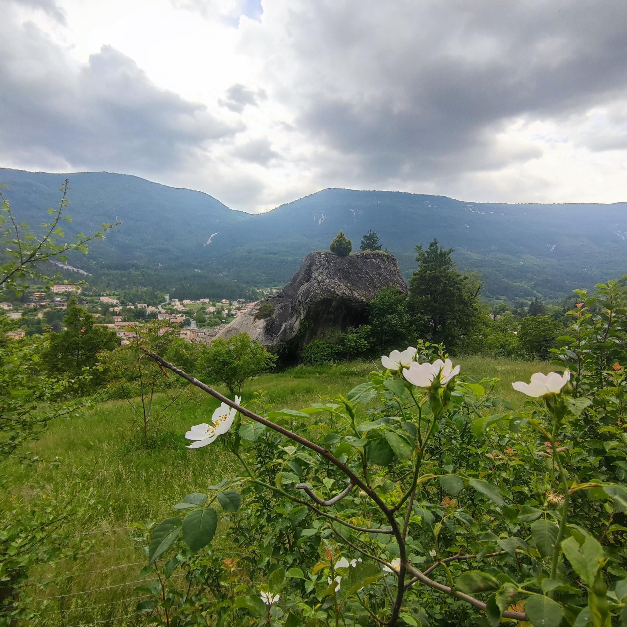
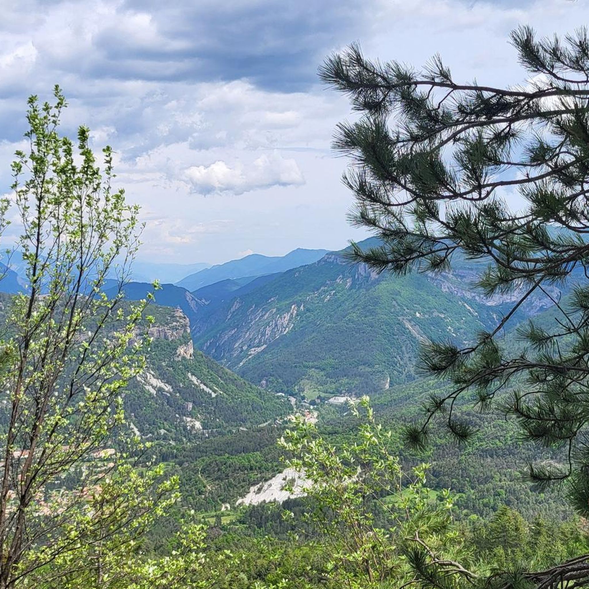
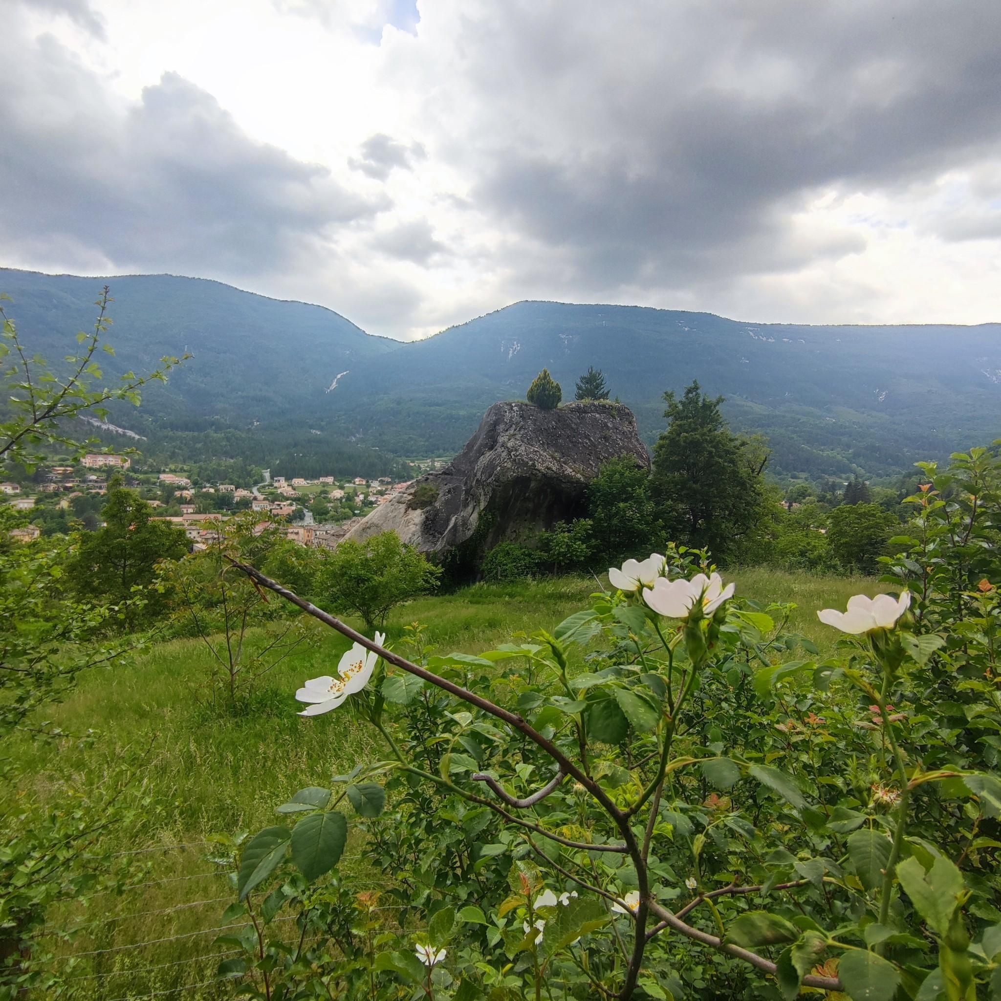
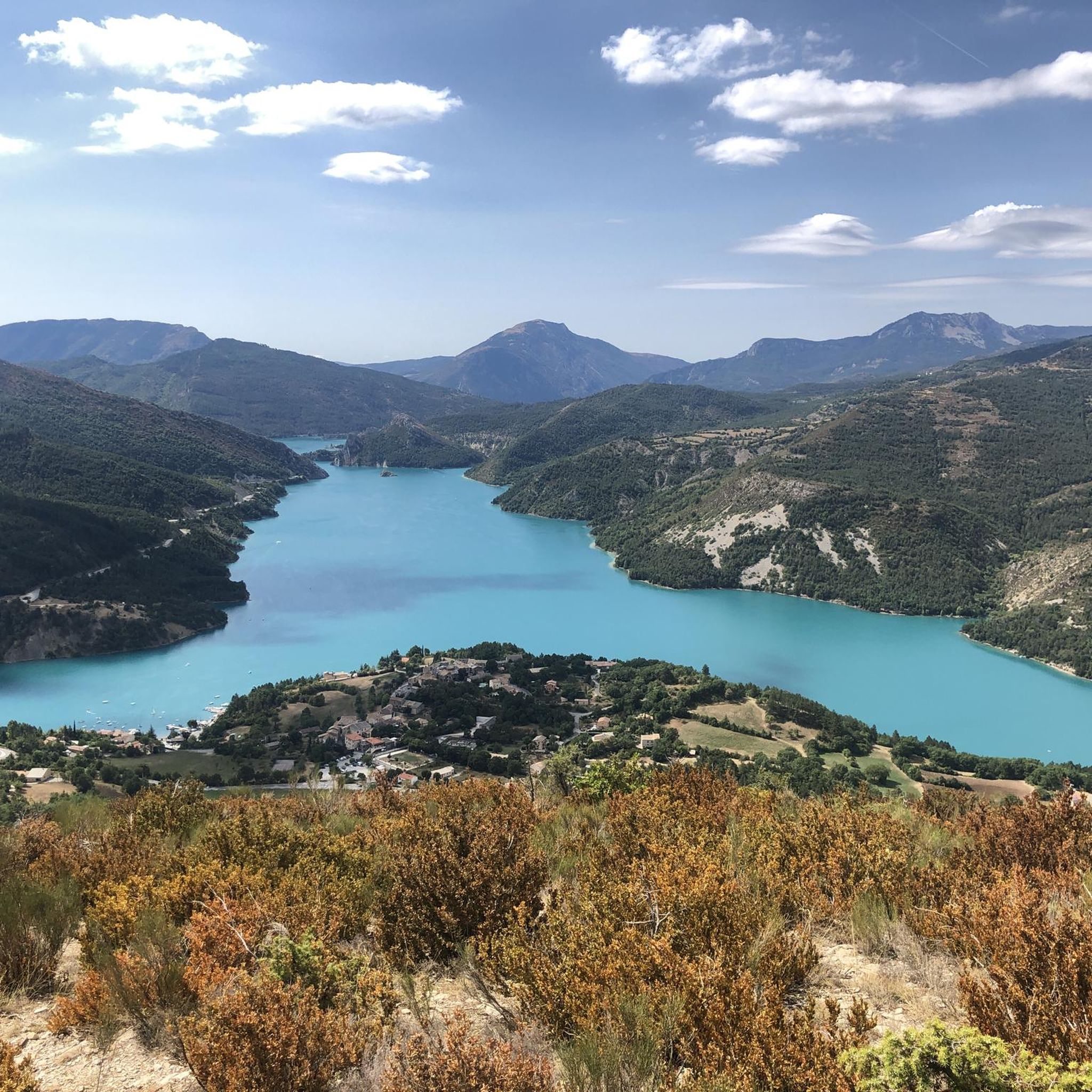
Tips from the Community

An absolute must for every good tourist 8-) Seriously, definitely check it out, the color of the water is different every time.
0
0

This crossing point is spectacular.
12
0


The circular hike was closed, the campsite and the cafe were closed
0
0

The western access is good for climbing and the eastern access for descending; we had little traffic.
1
0

spectacular, also very pleasant to ride up and down along the gorges
0
0
very nice climb, can be very warm from June on, no water sources along It, get some before starting the road uphill
2
0

Quiet pass at 1143 meters. Arrival on a plateau in the sun, not a car, not a sound... enough to love road cycling. Stop to enjoy.
0
0
Frequently Asked Questions
How many road cycling routes are available around Annot?
Annot offers a wide variety of road cycling routes, with over 30 options available on komoot. These routes cater to different skill levels, from moderate ascents to challenging, long-distance rides through the diverse landscape.
What is the best time of year for road cycling in Annot?
The weather in Annot is generally favorable for road cycling. Spring and autumn typically offer pleasant temperatures and beautiful scenery, making them ideal for exploring the region's mountain passes and scenic roads. Summer can also be excellent, especially for higher elevation routes, though it's wise to start earlier in the day to avoid the midday heat.
What are the typical terrain and elevation challenges for road cycling in Annot?
Road cycling around Annot is characterized by mountainous and hilly terrain, featuring numerous asphalt roads and challenging mountain passes. You can expect significant elevation gains, with routes like Col des Champs - Mercantour National Park climbing over 2,200 meters. The region's topography provides a mix of demanding climbs and rewarding descents.
What do other cyclists say about road cycling in Annot?
The road cycling routes in Annot are highly rated by the komoot community, with an average score of 4.9 stars from over 50 reviews. Cyclists often praise the stunning scenery, challenging climbs, and the diverse natural features encountered along the way, such as the unique sandstone formations and serene lakes.
Are there easy road cycling routes in Annot?
While many routes in Annot are challenging, there are a few easier options available. For instance, komoot lists 2 easy road cycling routes, providing a gentler introduction to the region's beautiful landscapes for those seeking less strenuous rides.
Where can I find challenging road cycling routes around Annot?
Annot is renowned for its challenging road cycling routes, particularly those tackling mountain passes. You'll find 22 difficult routes on komoot, including popular options like Col des Champs - Mercantour National Park and Col de Saint-Raphaël – View of Entrevaux loop from Annot, which feature significant elevation gains and long distances.
What natural features or landmarks can I see while road cycling near Annot?
Road cycling routes around Annot offer breathtaking views of diverse natural features and landmarks. You can encounter the unique Grés d'Annot sandstone formations, ride over mountain passes like Col de Toutes Aures (1,124 m) and Col du Buis, and enjoy picturesque vistas of Lake Castillon. The region is also close to the impressive Gorges du Verdon.
Are there scenic viewpoints along the road cycling routes?
Yes, many road cycling routes in Annot feature stunning scenic viewpoints. You can expect panoramic views from mountain passes and elevated sections. For example, the route Col de Saint-Raphaël – View of Entrevaux loop from Annot offers vistas towards the historic village of Entrevaux, and the area around Lake Castillon provides beautiful water views.
Can I find routes that pass by lakes or water features?
Absolutely. The Annot region is home to several beautiful lakes and rivers. The route Castillon Dam – View of Lake Castillon loop from L'Iscle de Vergons is a prime example, leading through the scenic area around Lake Castillon, known for its striking azure waters. The village itself is also surrounded by cascading streams.
Is parking available for road cyclists in Annot?
Annot, being a hub for outdoor activities, generally offers parking options suitable for visitors. While specific parking for each route start isn't detailed, you can typically find parking within or near the village of Annot, or at common starting points for popular routes, allowing easy access to the cycling network.
Are there road cycling routes accessible by public transport in Annot?
Annot is connected by the Pignes Tourist Train, which runs between Nice and Digne-les-Bains. This train passes through Annot and can be a scenic way to access the region, potentially allowing cyclists to start or end their rides at different points along the line, though specific bike carriage policies should be checked in advance.
Are there family-friendly road cycling options in Annot?
While many routes in Annot are quite challenging due to the mountainous terrain, there are a few easier options that might be suitable for families with older children or those looking for a more relaxed ride. It's recommended to check the difficulty grade and elevation profiles of routes to find the most appropriate ones for your family's skill level.
Are there any good circular road cycling routes in Annot?
Yes, Annot offers several excellent circular road cycling routes that allow you to start and finish in the same location. Examples include the Castillon Dam – View of Lake Castillon loop from L'Iscle de Vergons and the Col de Saint-Raphaël – View of Entrevaux loop from Annot, providing varied scenery and challenges.
Most popular routes around Annot
Most popular attractions around Annot

Get inspired with the komoot mobile app


Explore more
Browse the best Road cycling routes in other regions.
